Col de Crête Sèche, from Ru

Edited by:
Massimo Martini
Updated at: 05/07/2026
Access
Leaving the motorway at the Aosta Est barrier, turn right and take the dual carriageway to follow for 8.4 kilometres. At Signayes, turn right onto the regional road following the signs for Bionaz/Laravoire. Pass a roundabout and continue on the regional road along the entire length of Valpelline. Pass through the villages of Valpelline and Oyace until, after about 27 kilometres, you reach the hamlet of Dzovennoz. Turn left, following the signs for Chez Leo Merloz Ru, Ley Cretes. Go up the little communal road for 1.3 kilometres until you reach the free car park 🅿️ before the village of Ru.
[0h39'] - [29.2km]
How to get there with GMaps
How to get there with Apple Maps
The directions given here were verified on the date of the route survey. Before setting off, it is advisable to ensure that no substantial changes have occurred on the route to the starting point. We therefore recommend the use of the satellite navigation apps provided by Google or Apple for up-to-date and detailed directions.
Introduction
Description
0h00' From Ru (1696m) we set off next to a small toilet hut with a fountain ⛲, go past the village on a dirt road to the grassy terrace of Alpe Promot (1853m).
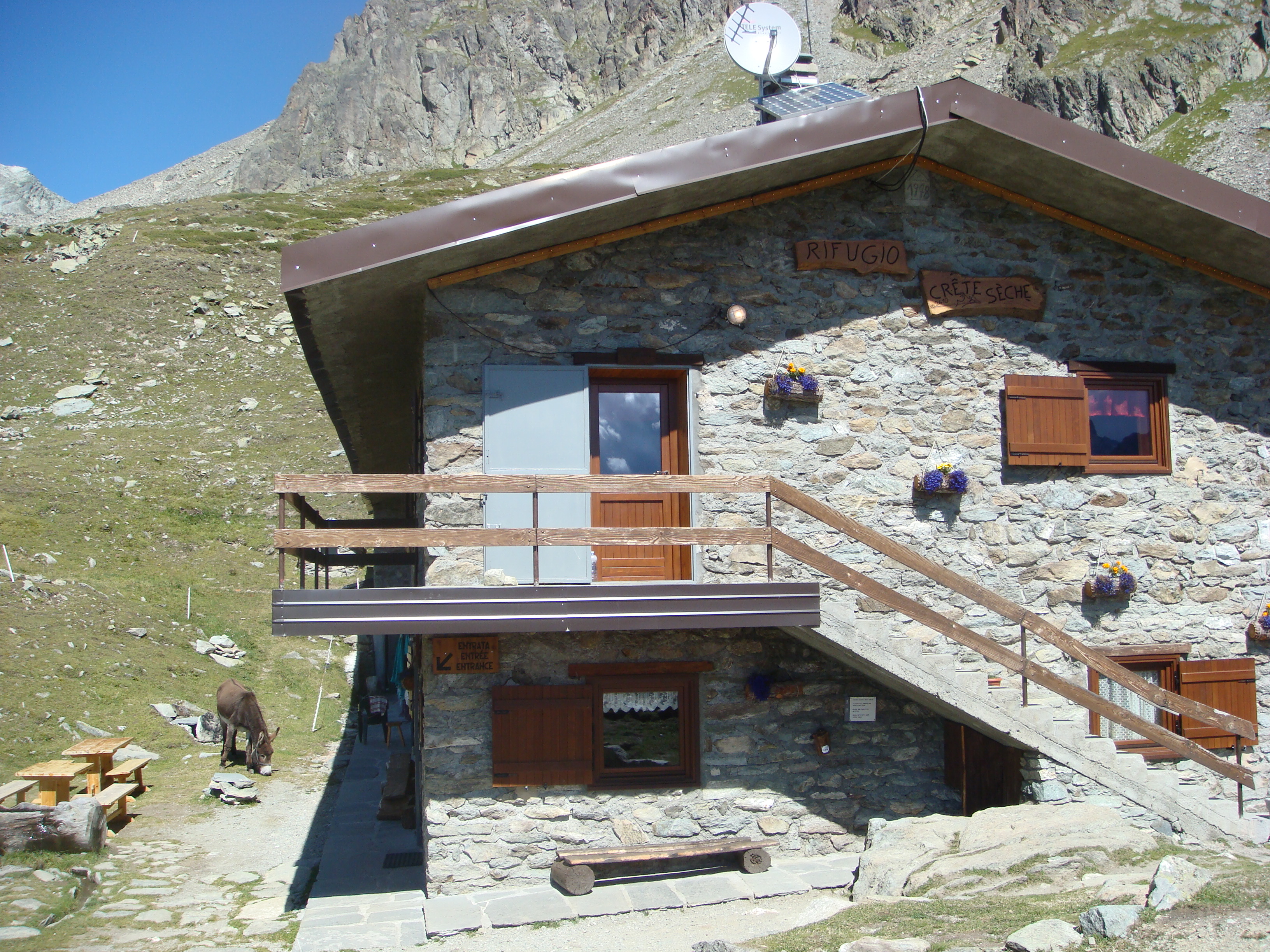
0h30' Now continue between fir and larch trees, go past the intake of an aqueduct and, after a few bends, cross the Comba di Vertosan stream to reach Alpe Berrier (2192m). Alternatively, just before the stream, take the obvious path to a large wooden cross, just above Alpe Berrier. You now bear left down a slight incline and suddenly see the roof of the Crête Sèche hut (2390m), which you reach near the final ridge of the Crête Sèche mountain.
.We have been there

Edited by:
Anna Della Giovanna
Rifugio Crete Seche e Col de Crete Seche
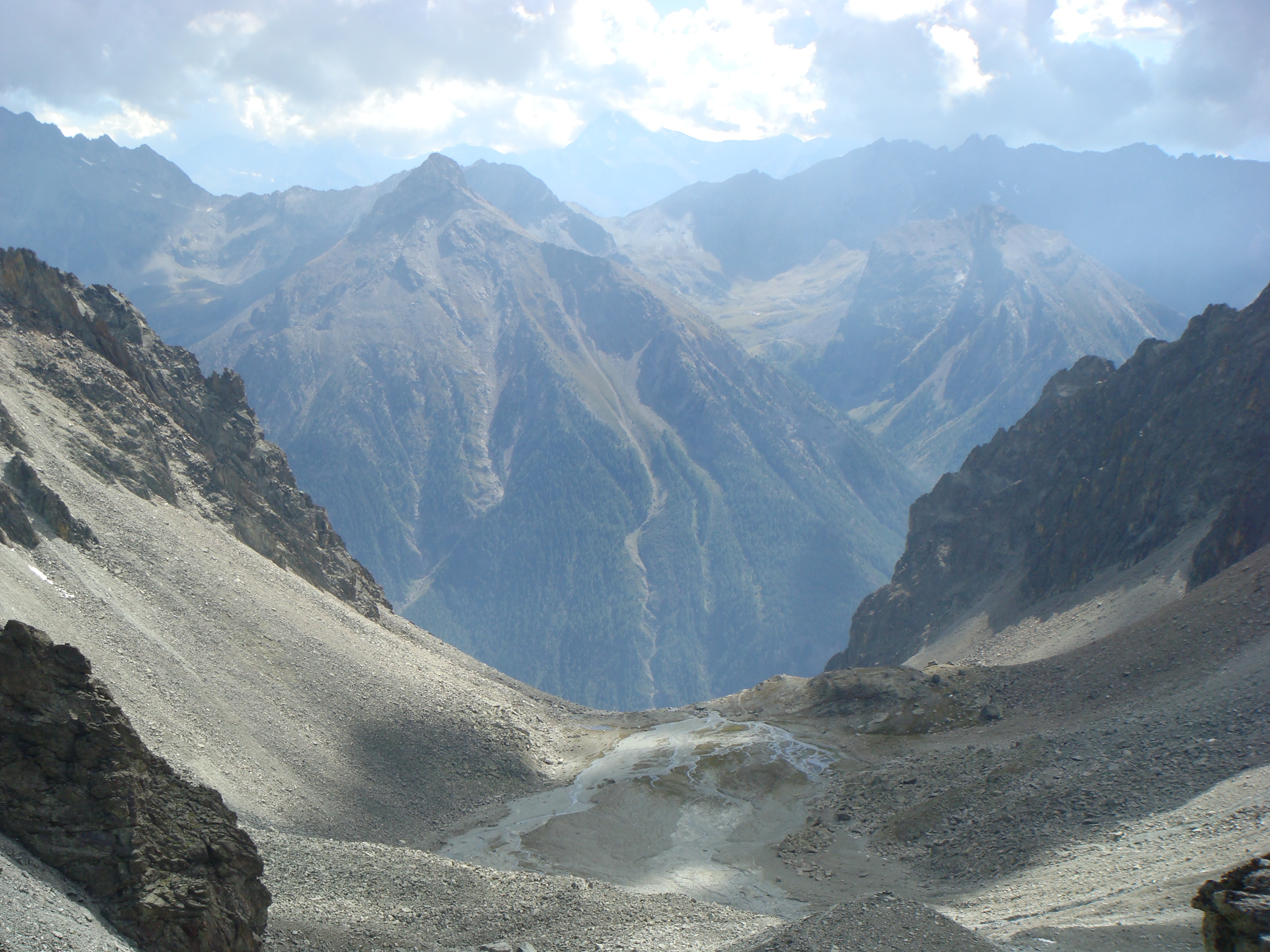
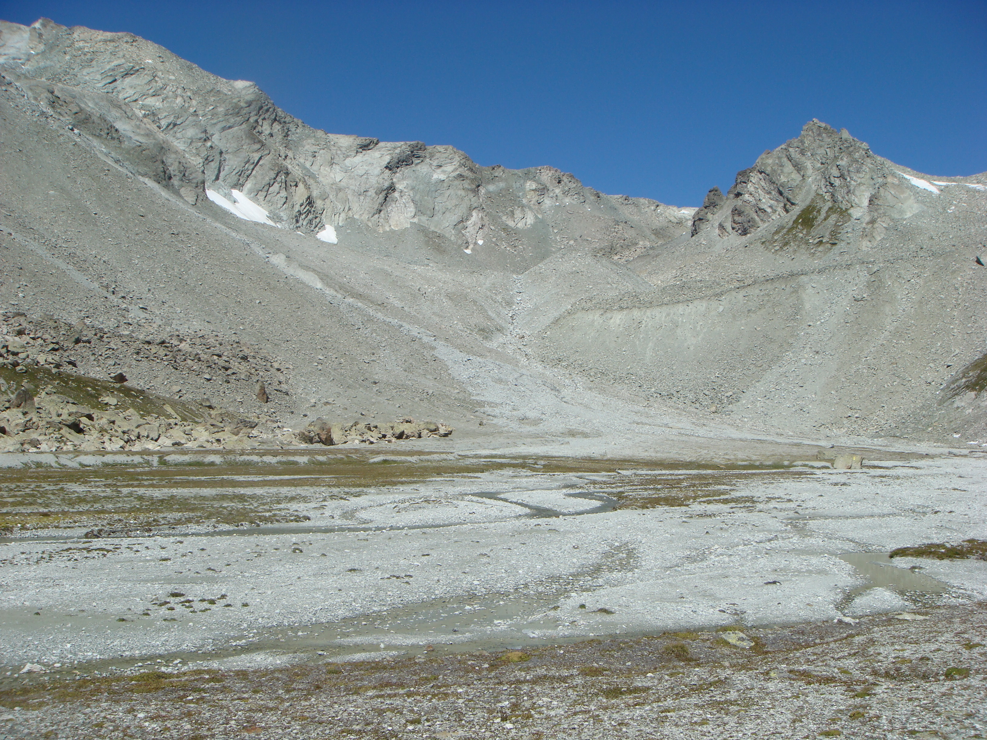
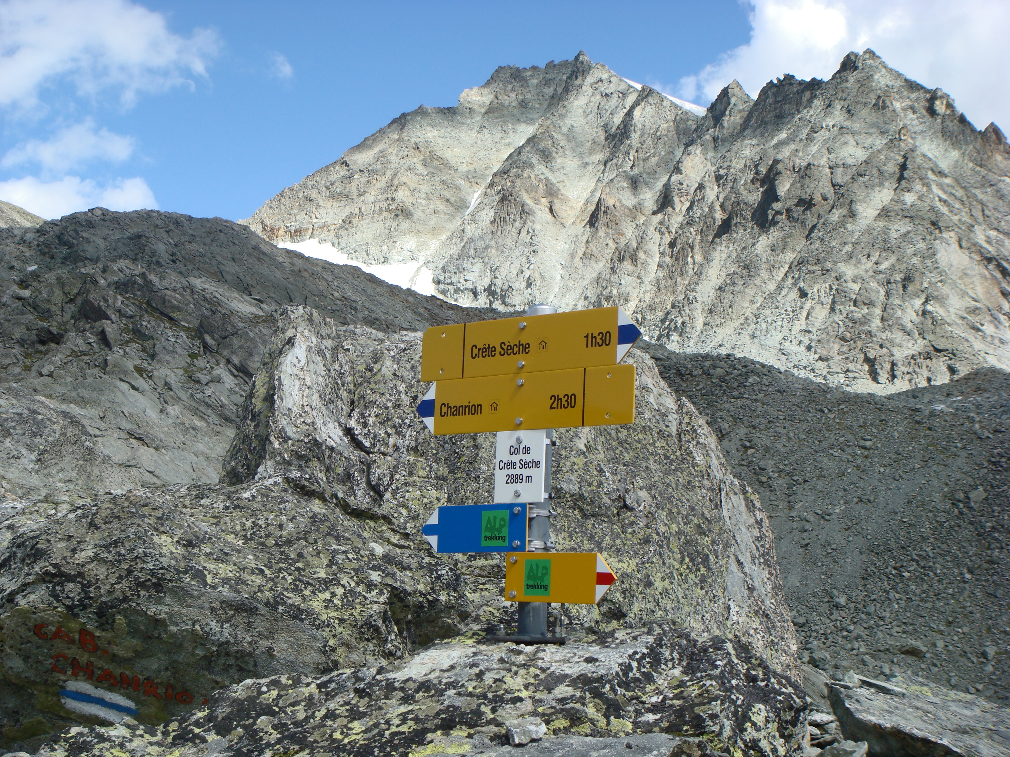
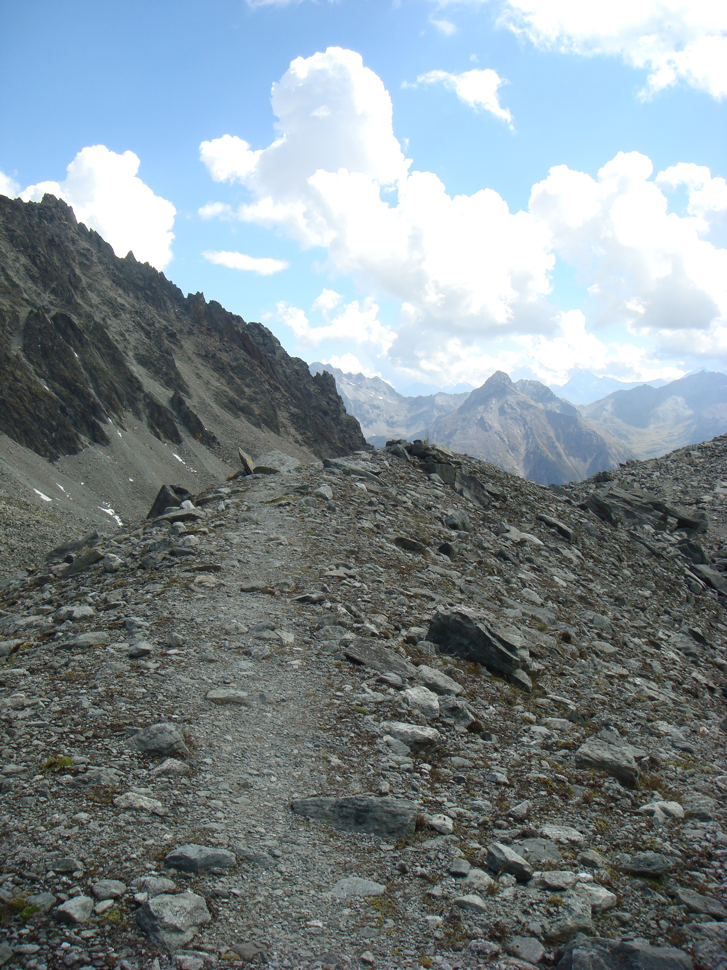
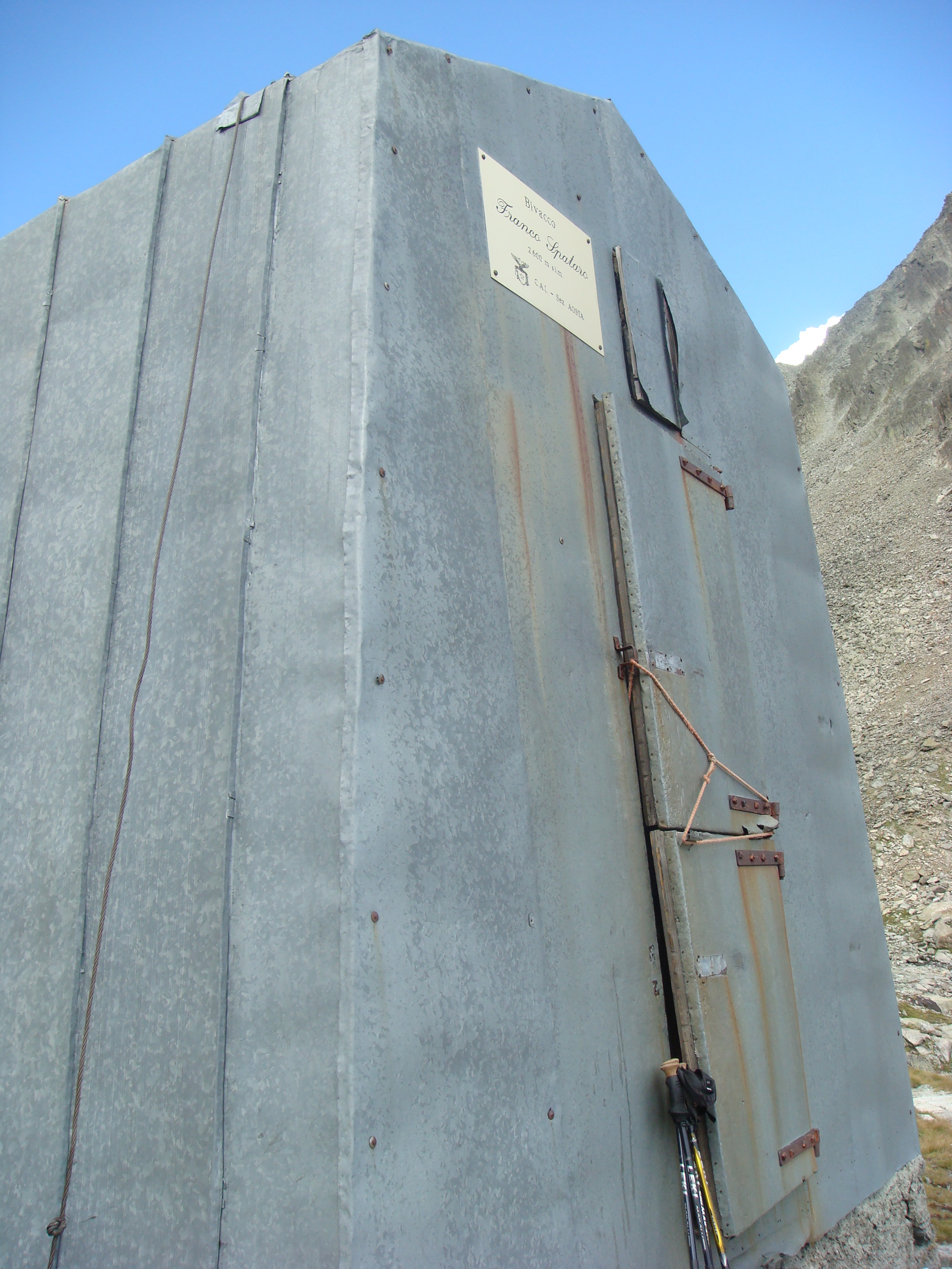
Si segue il segnavia numero 2. In questo primo pezzo si puo' prendere il sentiero (sempre ben segnalato) o seguire la strada. Presso l'alpe di Primo prendere il sentiero che sale fino alla sterrata che si segue. A questo punto c'e' una scorciatoia che sale ripida per i boschi e che si puo' prendere per salire ma non e' consigliabile per la discesa. Il sentiero e' sempre ben segnalato. All'altezza della Baita della Liberta' si sale su per i prati e si inizia a vedere il rifugio.(2389m) Attenzione, e' un po' ripido l'ultimo tratto. Dal rifugio si prosegue sul sentiero 2 ora su massi sino ad arrivare al Plan de la Sabla. Sulla sinistra si trova il Bivacco Spataro. (2596m) Fino a qui il percorso e' di difficolta' E Per arrivare al colle si prosegue su ambiente detritico, si guada un torrente e si continua a salire lasciando sulla destra un bel laghetto. Si guada un torrente e si riprende a salire. Il sentiero si fa piu' ripido fino ad arrivare al colle (2885m) Questa seconda parte del percorso e' di difficolta' E+ / EE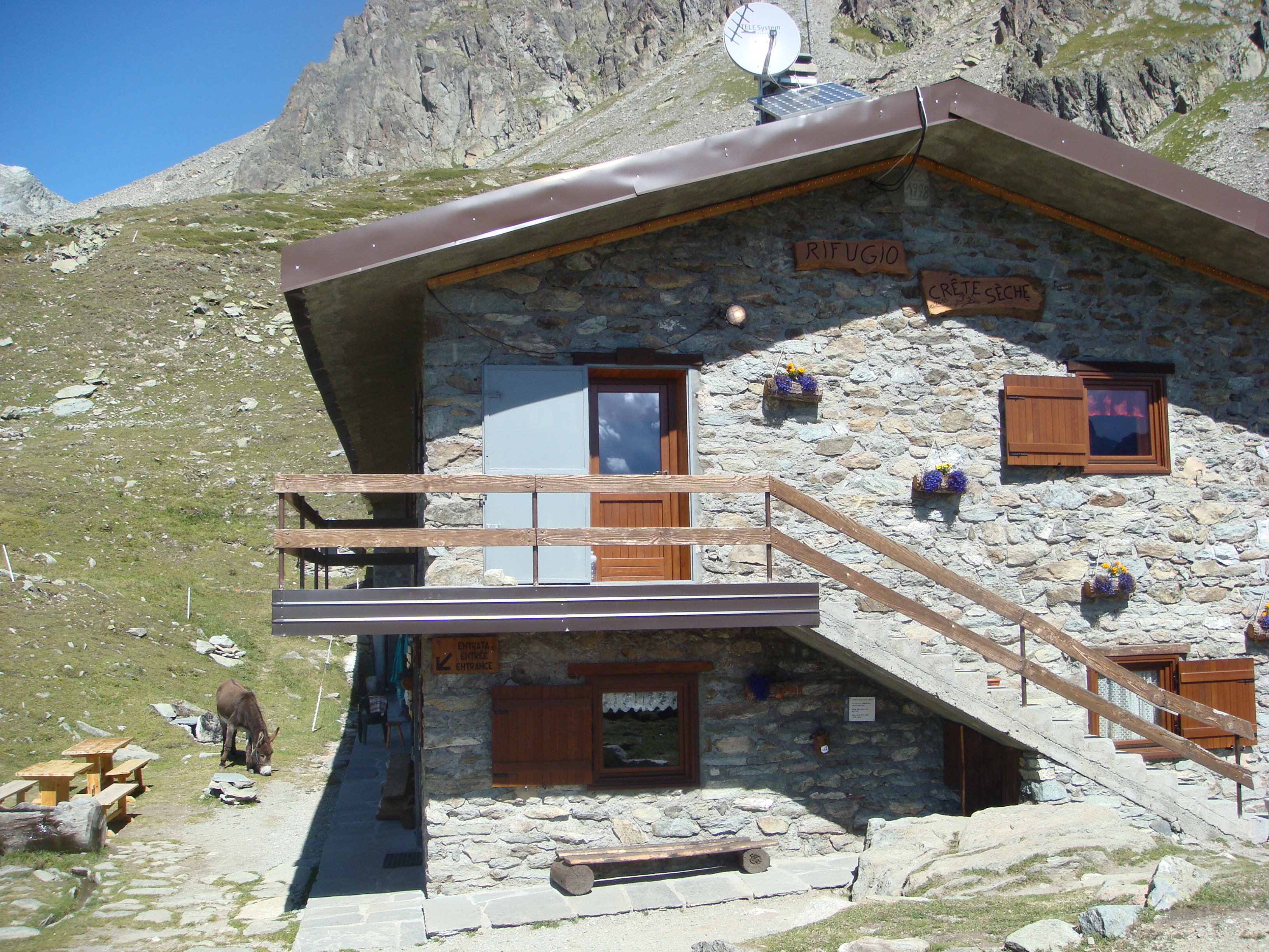
Edited by:
Anna Della Giovanna
Rifugio Crete Seche e Col de crete seche
Si segue il segnavia numero 2. In questo primo pezzo si puo' prendere il sentiero (sempre ben segnalato) o seguire la strada. Presso l'alpe di Primo prendere il sentiero che sale fino alla sterrata che si segue. A questo punto c'e' una scorciatoia che sale ripida per i boschi e che si puo' prendere per salire ma non e' consigliabile per la discesa. Il sentiero e' sempre ben segnalato. All'altezza della Baita della Liberta' si sale su per i prati e si inizia a vedere il rifugio.(2389m) Attenzione, e' un po' ripido l'ultimo tratto. Dal rifugio si prosegue sul sentiero 2 ora su massi sino ad arrivare al Plan de la Sabla. Sulla sinistra si trova il Bivacco Spataro. (2596m) Fino a qui il percorso e' di difficolta' E Per arrivare al colle si prosegue su ambiente detritico, si guada un torrente e si continua a salire lasciando sulla destra un bel laghetto. Si guada un torrente e si riprende a salire. Il sentiero si fa piu' ripido fino ad arrivare al colle (2885m) Questa seconda parte del percorso e' di difficolta' E+ / EE
Comments (0)
Sign in to leave a comment