Reports Points of interest I have been there Magazine Webcam

Anna Della Giovanna

Profile image
Wrote 30 reports, for a total distance of 7,88Km up and a total elevation gain of 6,73Km and 52 hours of walking
1922
Active filters: User: 1922
Showing 30 results with active filters
Loading...
Profile image

Edited by:

Ferrata Brigata Alpina to Col dei Bos, from Col Gallina

Car park in front of Restaurant Strobl The trail starts behind the car park (signpost indicating Col dei Bos) at...
0.00 Km 0 m
Profile image

Edited by:

Ferrata Sas Rigais - ascent east descent south

0.00 Km 0 m
Profile image

Edited by:

Cavallazza and Cavallazza Piccola, from Passo Rolle

0.00 Km 0 m
Profile image

Edited by:

Pralongià Refuge, from La Villa

T2 0.00 Km 0 m
Profile image

Edited by:

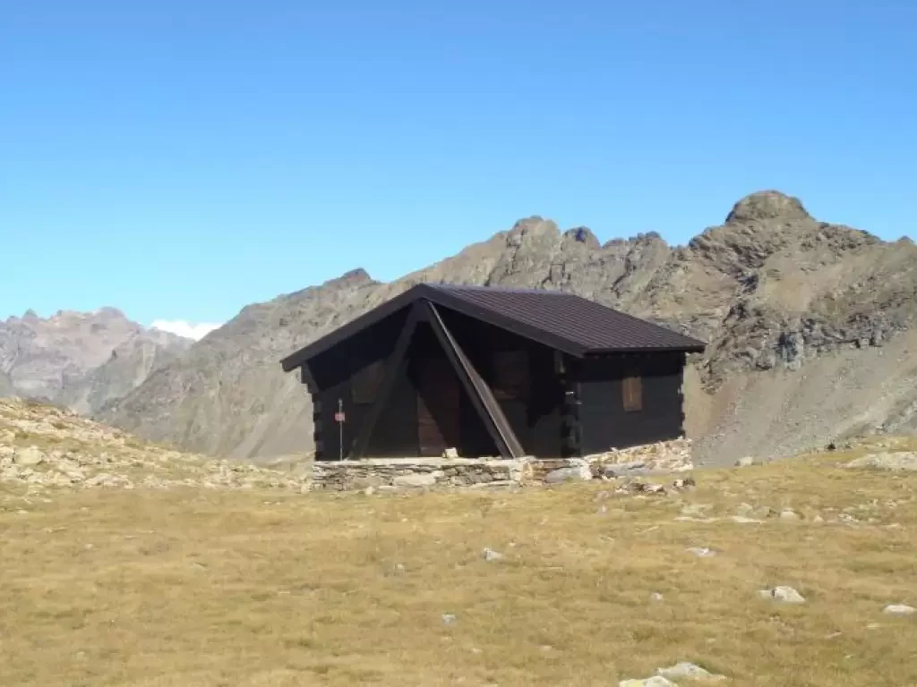
Penne Nere bivouac, from the Valpelline sports area

T2 0.00 Km 0 m
Profile image

Edited by:

Conca di By and Champillon Refuge

Access: Exit the motorway at Aosta East, follow for Gran San Bernardo and after the tunnel turn right towards Valpelline....
0.00 Km 0 m
Profile image

Edited by:

Via Carnica, from Sesto

T2 28.79 Km 1012 m
Profile image

Edited by:

Ferrata delle Scalette, from Ciampedie

This hike is quite long. For the complete tour, including all the stops, it took us about 8hr 30.
24.00 Km 0 m
Profile image

Edited by:

Puez Refuge, from the Vallunga car park

T2 0.00 Km 0 m
Profile image

Edited by:

Picco Vallandro - descent Altavia 3 and path 14

0.00 Km 0 m