Ferrata delle Scalette, from Ciampedie
Access
From the Brennero motorway, exit at Egna-Ora and continue towards the Fiemme / Fassa valley.
When you reach Vigo, turn left towards the village centre and the road to the Costalunga Pass. The Catinaccio cable car is well signposted and offers plenty of parking.
Introduction
This hike is quite long. For the complete tour, including all the stops, it took us about 8hr 30.
Description
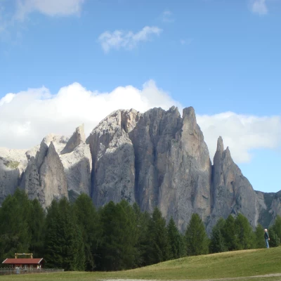
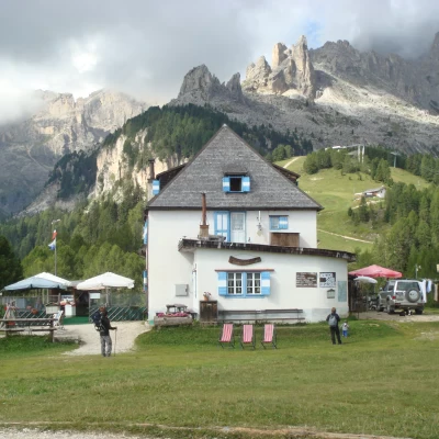
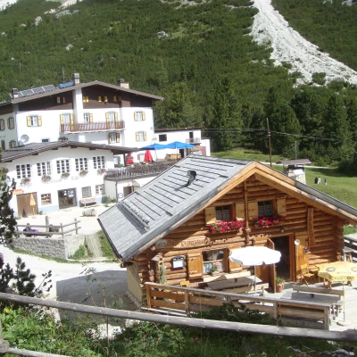
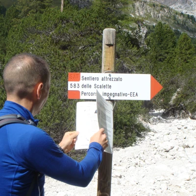
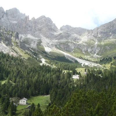
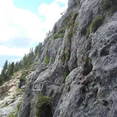
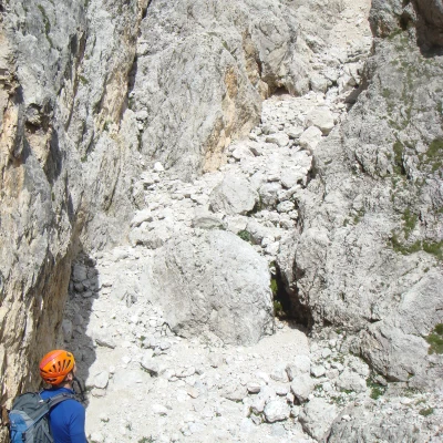
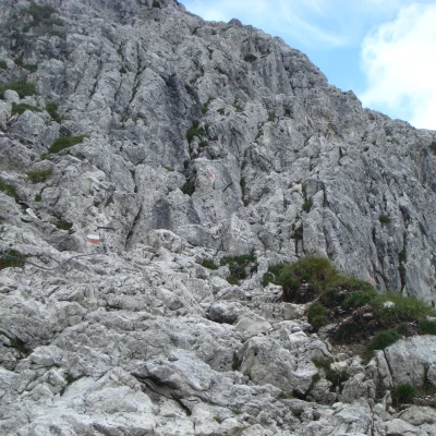
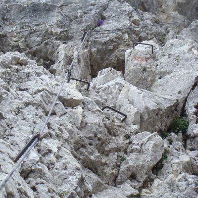
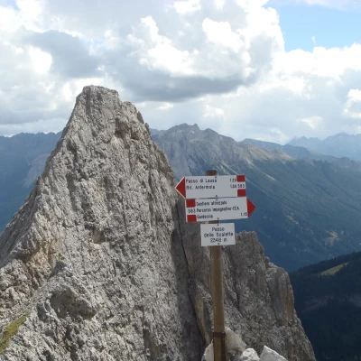
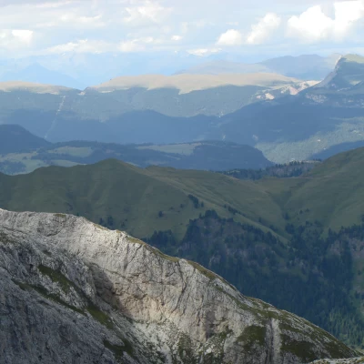
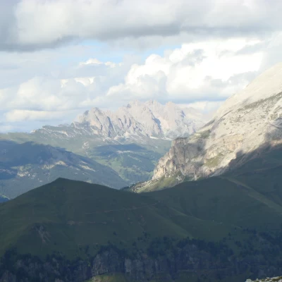
From Vigo we took the Catinaccio cable car (€8 one way in 2013. €14 return) which in just a few minutes took us to an altitude of 1992m in the Ciampedie area, where there are several refuges and restaurants, and where we could admire an exceptional panorama of the entire Catinaccio. We follow path 540 towards the Gardeccia refuge, which we reach after a little over 30 minutes' walk. This part of the hike takes place on a simple and always very popular path. The Rif Gardeccia (1949m), the Rif Stella alpina and their souvenir shops and bazaars form a real mini village at the bottom of the Vajolet valley. The shuttle bus from Mazzin / Pera also arrives at this point. At the hut we continue to the right towards the road and immediately turn left towards the Rif. Antermoia and the Scalette equipped trail. We start to climb. The path skirts the mereidionale tip of the Larsec cliffs until we reach the first, very short and very simple equipped section. The most challenging part comes later, when a long, semi-climbed section is covered. This is followed by another simple passage equipped with a cable and a few metal steps and then again the ascent up large boulders to Passo delle Scalette (2348m).
(just over 2hr from Rif Gardeccia) The ascent continues.
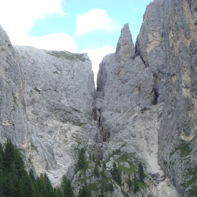
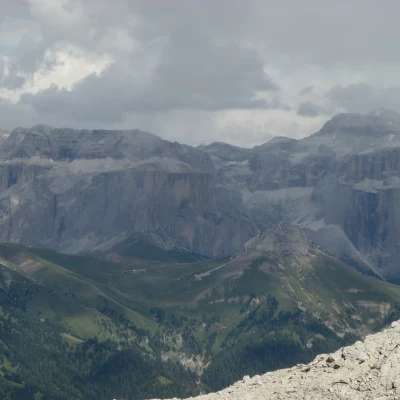
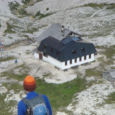
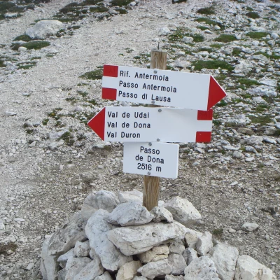
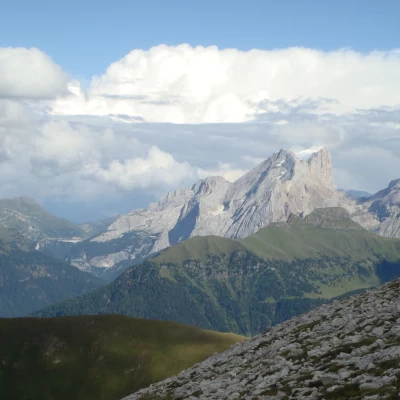
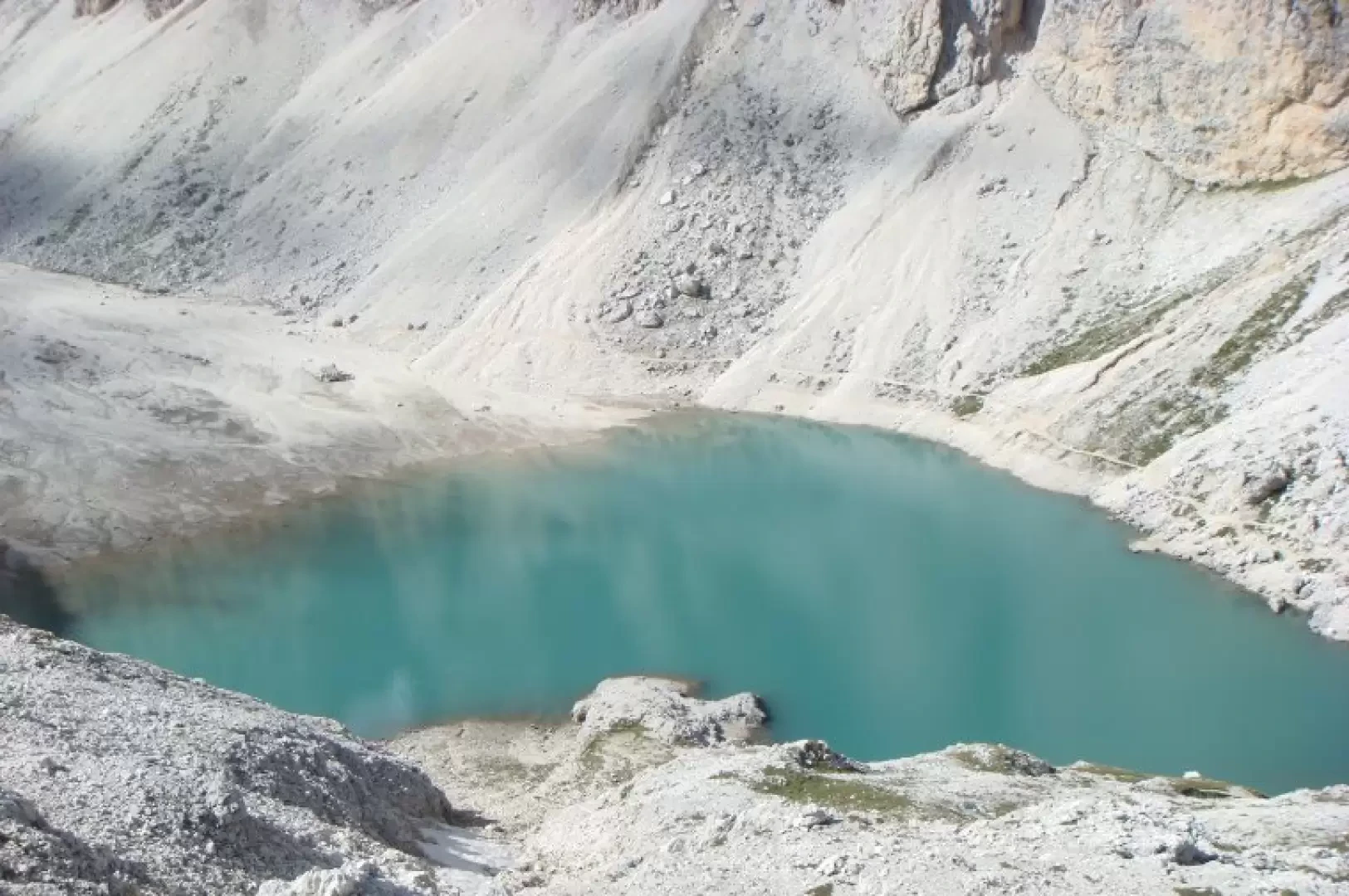
We pass the tiny Larsec Lake and on the right we can admire the gorge carved out by the water, which is also visible from the path below. The path is now easier, but the climb is steady until we reach the Lausa Pass (2700m - the highest point of the hike 1hr30 from the Scalette Pass) in just over an hour. We now walk on a plateau with great views of the Catinaccio and Val Gardena with its Sassolungo and Sassopiatto. Below to the left is the beautiful Lake Antermoia, to the right the refuge of the same name (2496m), which can be reached in about 30 mins from the pass. On reaching the Dona Pass, trail 580 offers us wonderful views of the Sella group, the Seceda, the Odle and the Marmolada. Now all downhill we continue on to Pian delle Galline (Pian da le Gialine), descend along the riverUdai and at the fork we keep to the right for path 579 and follow it to Ronch, where we arrive after about 2hr30mins from Rif Antermoia. From there we continued on to Pera, Pera di Sotto and then back to Vigo by road. This hike is quite long. For the complete tour, including all the stops, it took us about 8hr 30mins.
Photos:
Route Type: Circular
Difficulty: EEA
Physical Engagement: High, Long hike
Total Time: 8h30'
Departure altitude: 1992 m
Arrival altitude: 1400 m
Maximum altitude: 2700 m
Distance covered: 24.00 km

