Nearby
📍 Location Details
Latitude:
Longitude:
Accuracy:
Updated:
0 km
100 km
Path
km
-
km
m
m
Hike Type
Round trip
Circular
Crossing
Partially circular
Recommended Period
All
Hiking
Snowshoeing
Ski-mountaineering
Mountaineering
Via ferrata
Climbing
Mountain bike
Trekking
Active filters:
Tags: bionaz
Showing 37 results
with active filters
Loading...


Edited by:
Giancarlo Beretta
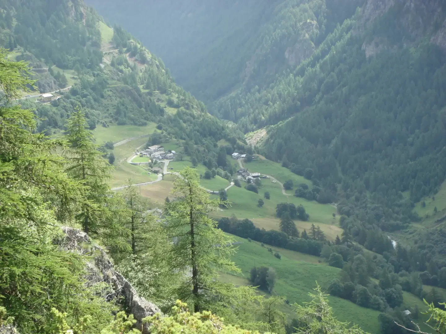
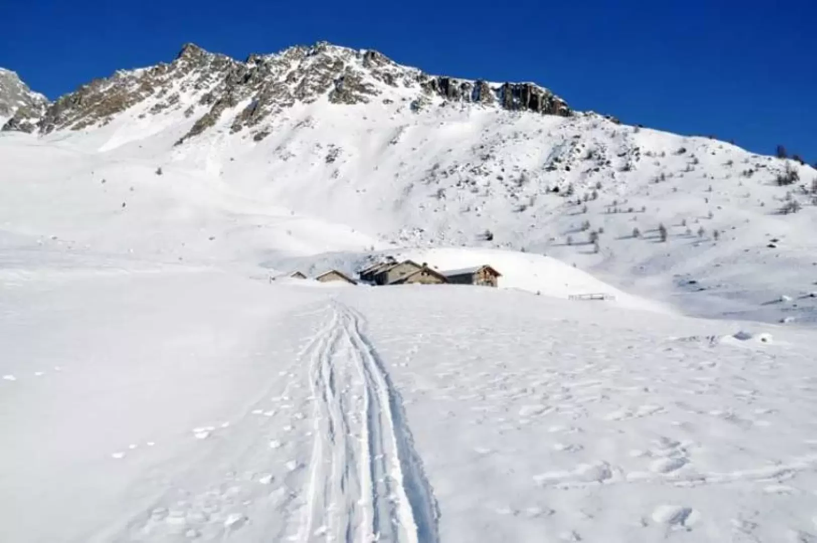
Berrier, from Ru
Easy ascent, also suitable for those who want to start out on this type of winter hike, as it is...
WT2
7.00 Km
562 m
Edited by:
Giancarlo Beretta
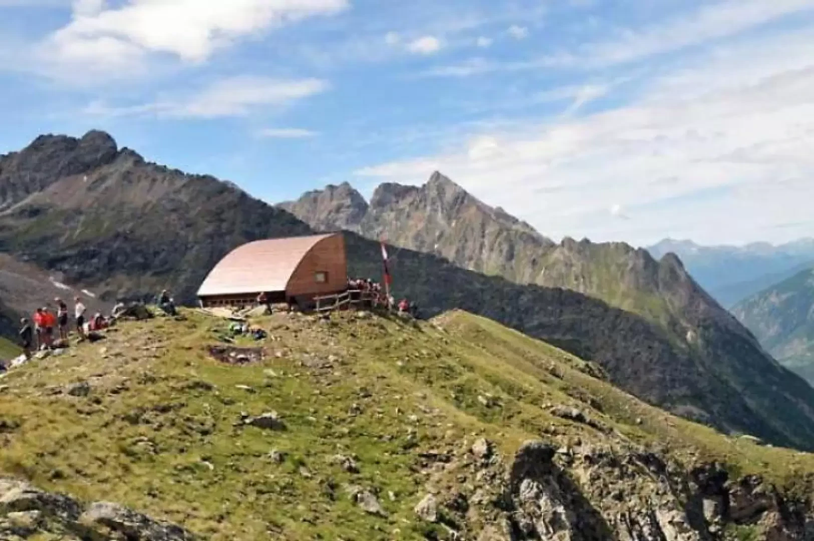
Bivouac Chentre-Bionaz, from La Ferrère
This new bivouac is located on the ascent itinerary to the Becca di Luseney, which dominates it from above its...
T2
11.00 Km
1086 m

Edited by:
Massimo Martini
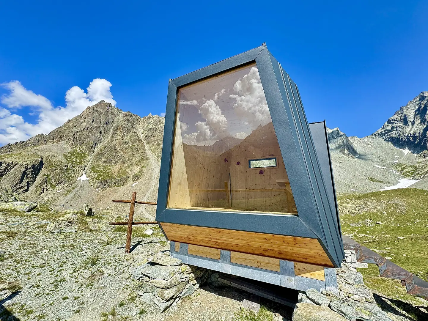
Bionaz Alpine Group mountain hut, from Les Rus
A partial circular route in the municipality of Bionaz, in the upper Valpelline, including an ascent to the Gruppo Alpini...
T2
11.59 Km
855 m

Edited by:
Ivano Ruffoni
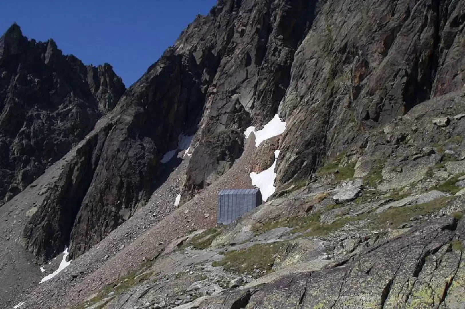
Spataro Bivouac, from Ru
One of the most popular itineraries in the Valpelline. During the ascent, there is always a view of the Aroletta...
T2
0.00 Km
904 m

Edited by:
Benedetto Lorusso
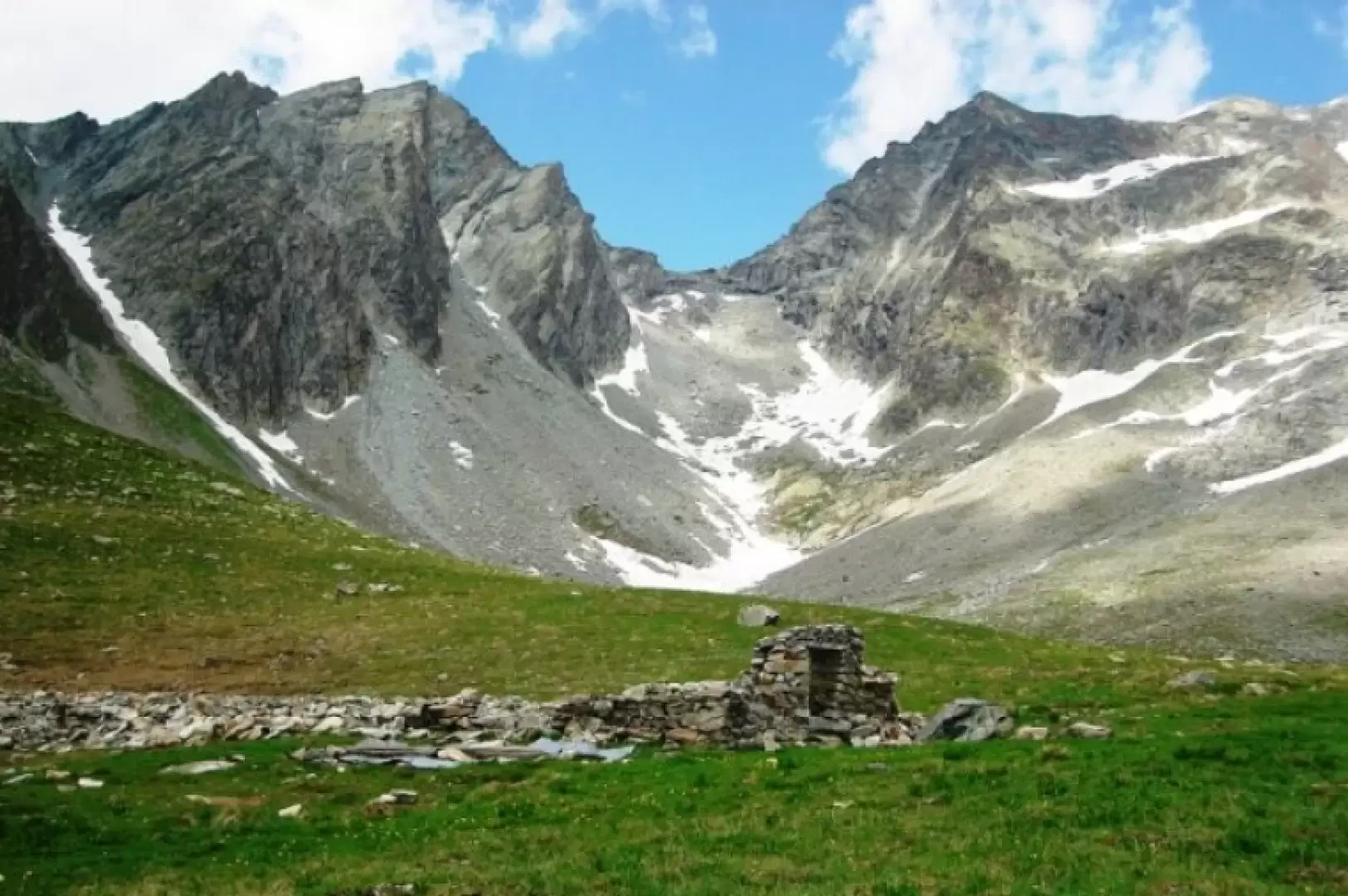
Chardoney, from Ruz
Chardonney means 'meadow where the thistle (chardon, tzardon) grows', sometimes spelled 'Chardoney' (e.g. Buscaini, Guida Alpi Pennine). There are places...
T2
9.00 Km
846 m

Edited by:
Massimo Martini
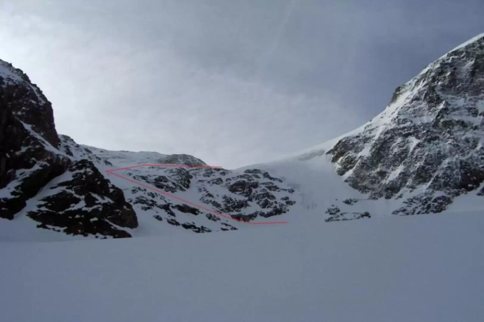
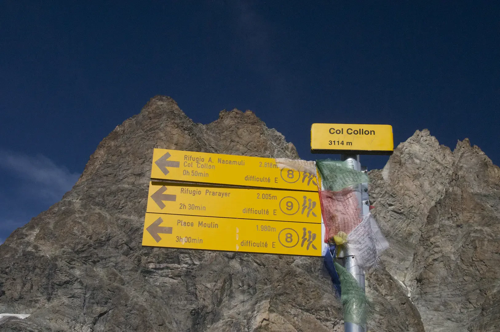
Col Collon, da Place Moulin
Breve escursione per chi giunge dal rifugio ma significativa camminata da chi parte dalla diga di Place Moulin. Le condizioni...
T3
0.00 Km
286 m
Edited by:
Giancarlo Beretta
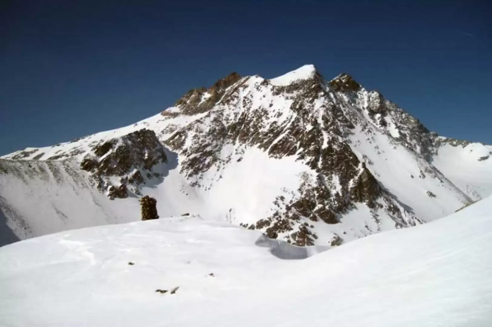
Col de Crête Seche, from Ru
This hike reaches a scenic pass bordering Switzerland and located on the watershed between the Dents d'Oyace to the west...
BS
12.00 Km
1204 m
Edited by:
Benedetto Lorusso
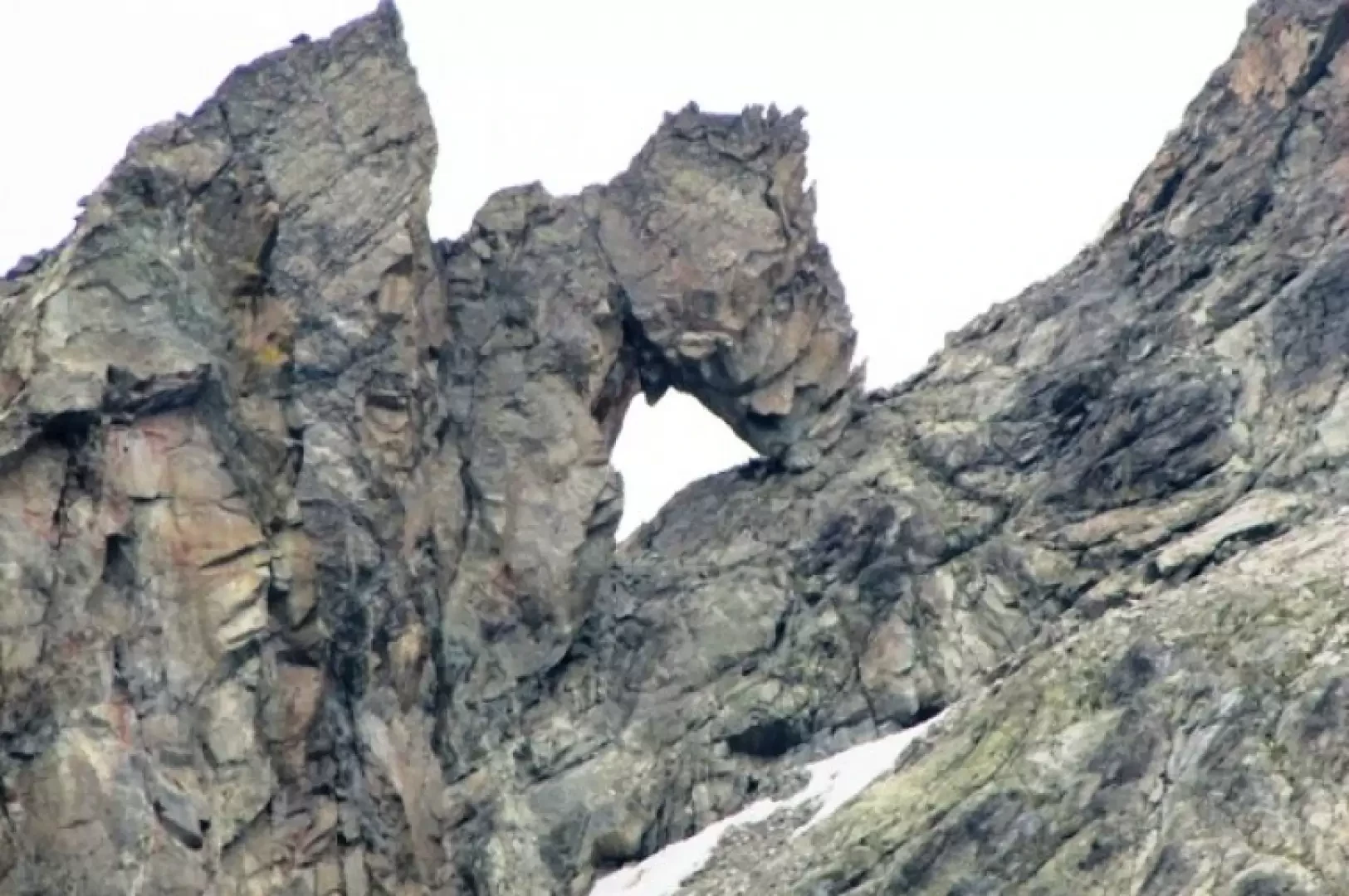
Col de l'Aroletta
Aperto tra l’Aroletta inferiore e la Vierge, mette in collegamento la comba di Faudery ad Ovest con quella di Crete...
T3
0.00 Km
1170 m
Edited by:
Massimo Martini
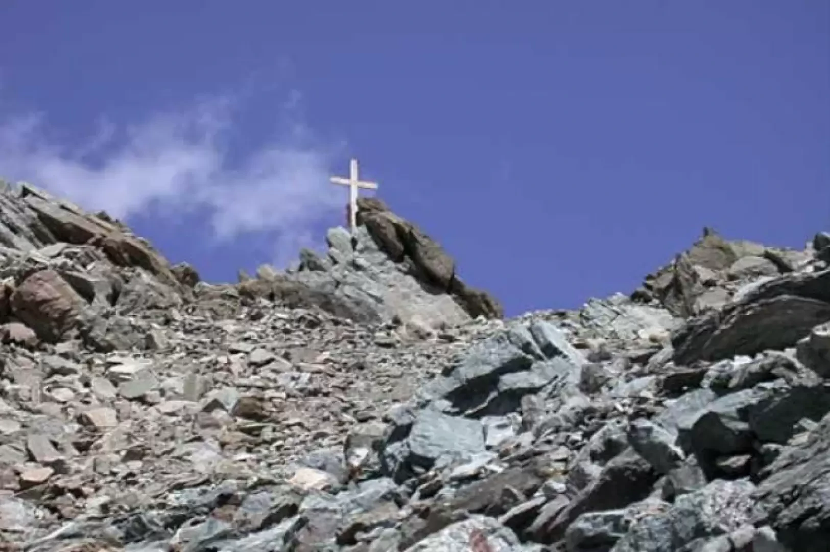
Col de Valcornière, da Place Moulin
Interessante escursione in ambiente desolato ma estremamente affascinante. Dopo aver percorso per un tratto la Comba de Valcornière si risale...
T3
20.00 Km
1115 m