Search
Category
Tags
Nearby
Location:
Latitude:
Longitude:
0 km
100 km
global.path
km
-
km
m
m
Hike Type
Difficulty
All
Hiking
Snowshoeing
Ski-mountaineering
Mountaineering
Via ferrata
Climbing
Mountain bike
Trekking
Active filters:
Tags: aosta-valley
Showing 840 results
with active filters
Loading...
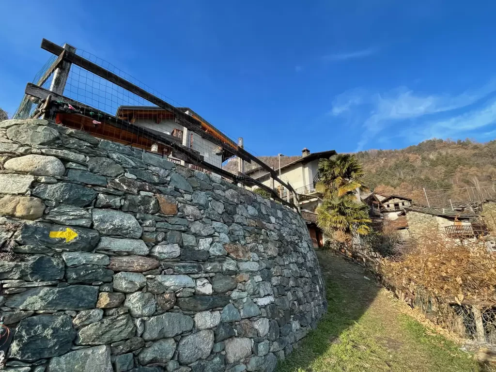
Abaz, from Sizan
The itinerary from Sizan to the village of Abaz is a fascinating and accessible hiking route for everyone, ideal to...
T2
2.76 Km
222 m
Aiguille d'Artanavaz, from Planaval via Rantin
Final destination with an extraordinary view: almost within reach are Mont Blanc and the Grandes Jorasses, while the horizon stretches...
T3
17.60 Km
1346 m
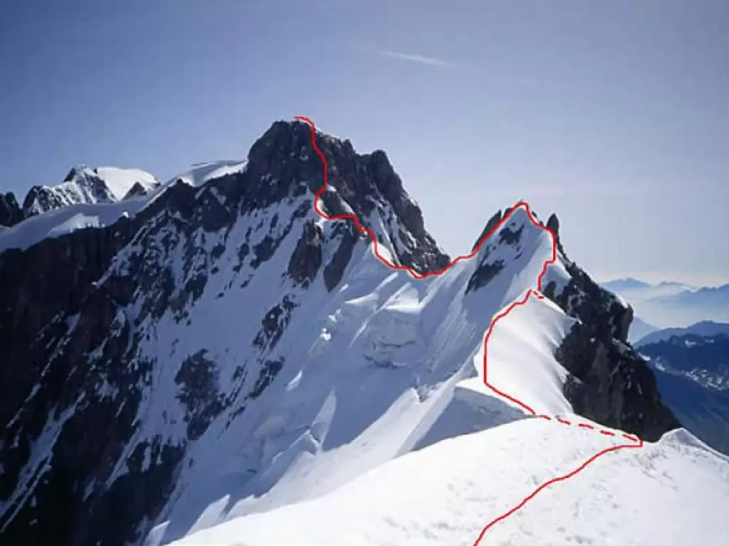
Aiguille de Rochefort, dal Rifugio Torino
L'itinerario è una parte dell'aerea cresta, abbastanza frequentata proprio fino all'Aiguille de Rochefort, che collega la base (“gengiva”) del Dente...
AD
0.00 Km
626 m
Aiguille des Angroniettes, da Arp Nouva per il Col Ban Darrey
Questa bella ed impegnativa escursione circolare si sviluppa, fuori dall’affollamento dei classici sentieri, nell’alta Val Ferret percorrendo i solitari e...
T3
12.00 Km
1155 m
Aiguille du Midi, trasversata dalla Punta Helbronner
Una delle traversate alpinistiche più famose al mondo! Uno scenario unico, irripetibile e un percorso non eccessivamente difficile lo rendono...
F
6.00 Km
610 m
Aiguille Savoie, from the Dalmazzi Refuge
Beautiful mountain, albeit of modest proportions, whose long south-east ridge, steep below the summit, juts out towards the Triolet Glacier....
AD
0.00 Km
0 m
Aiguilles de Leisasse
Bella cima in ambiente selvaggio, nota anche come Aiguille de Lesache o des Sasses, frequentata anche d'inverno. A metà salita,...
T4
3.66 Km
914 m
Alpe Seura, from Pré
The itinerary takes place in an area that was inhabited up to 50 years ago. The whole area was furrowed...
T2
10.29 Km
730 m
Alta Luce, dal Gabiet
Itinerario escursionistico che conduce ad ammirare il magnifico ghiacciaio del Lys (Lysgletscher) da un incredibile belvedere. Lo sguardo, dalla vetta,...
T2
10.60 Km
881 m
