
Wrote 26 reports, for a total distance of 15,18Km up and a total elevation gain of 15,28Km and 216 hours of walking
0
followers
Active filters:
User: 439
Showing 26 results
with active filters
Loading...
Edited by:
Maurizio Bergamini
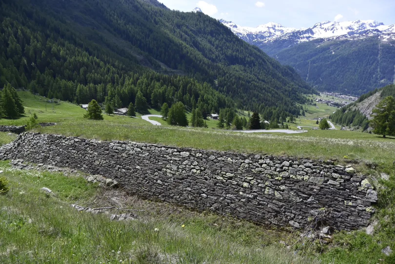
Prince Thomas' Trenches, from Petosan
More than a walk, it is four steps beyond the car park, just to enjoy the view and discover a...
T1
2.74 Km
104 m
Edited by:
Maurizio Bergamini
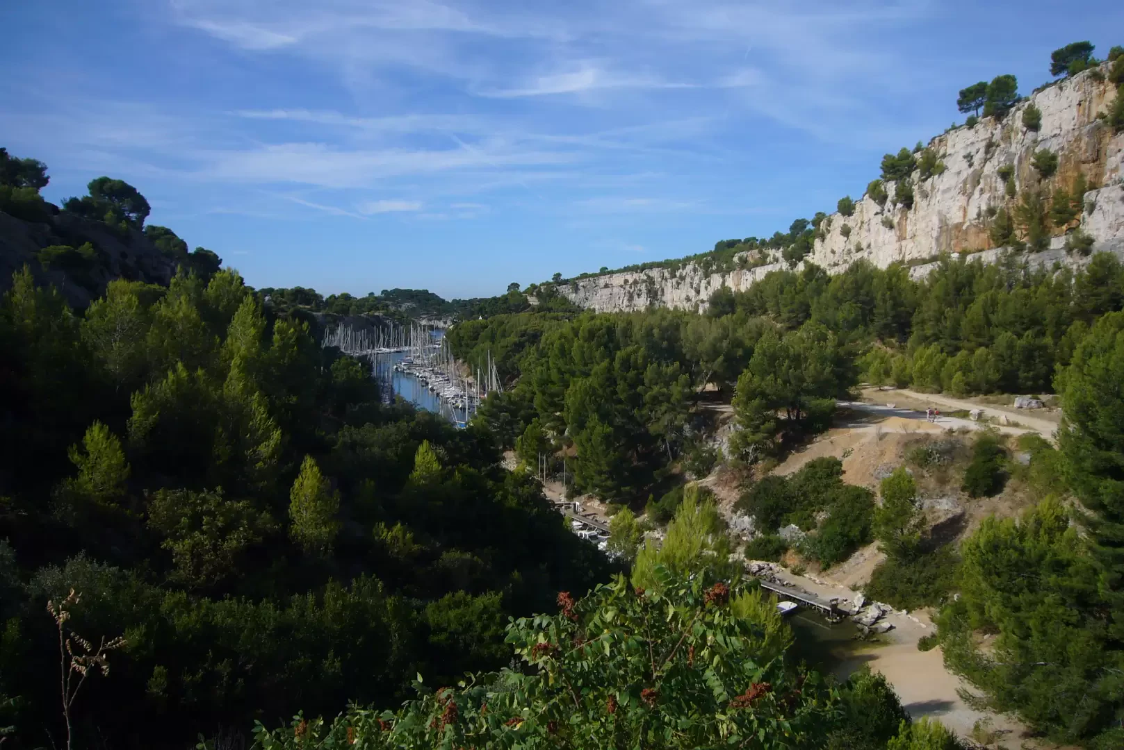
Calanque d'En Vau, from Cassis
How to get to one of the 100 most beautiful beaches in the world. A splendid walk through a protected...
T2
5.00 Km
180 m
Edited by:
Maurizio Bergamini
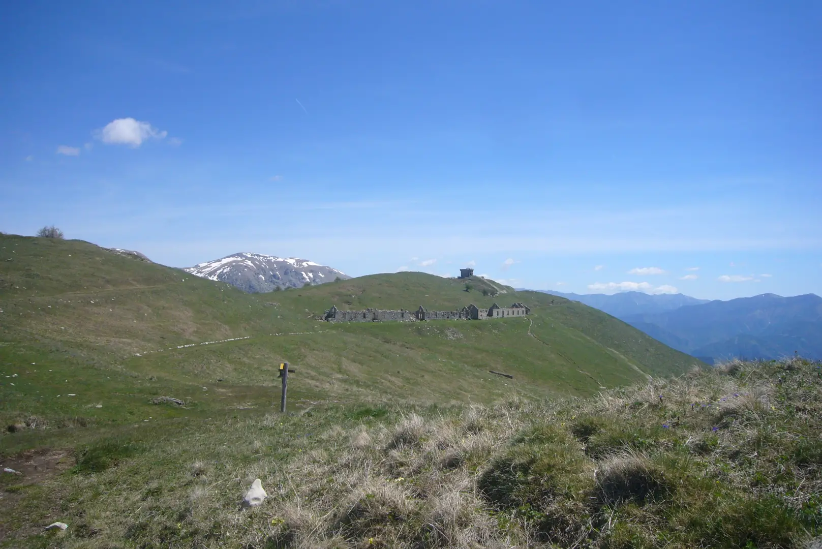
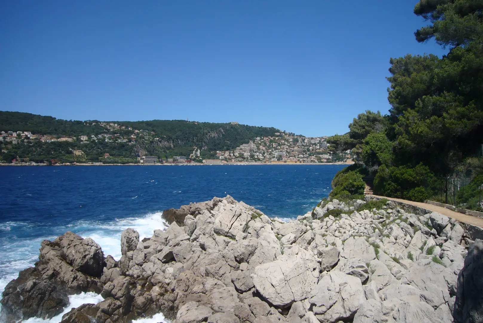
Customs Officers’ Trail (2/4): Villefranche – Saint-Jean-Cap-Ferrat – Beaulieu-sur-Mer
The second section of the Sentier des douaniers: it circles the Saint-Jean-Cap-Ferrat peninsula from Villefranche to Beaulieu
T1
0.00 Km
m
Edited by:
Maurizio Bergamini
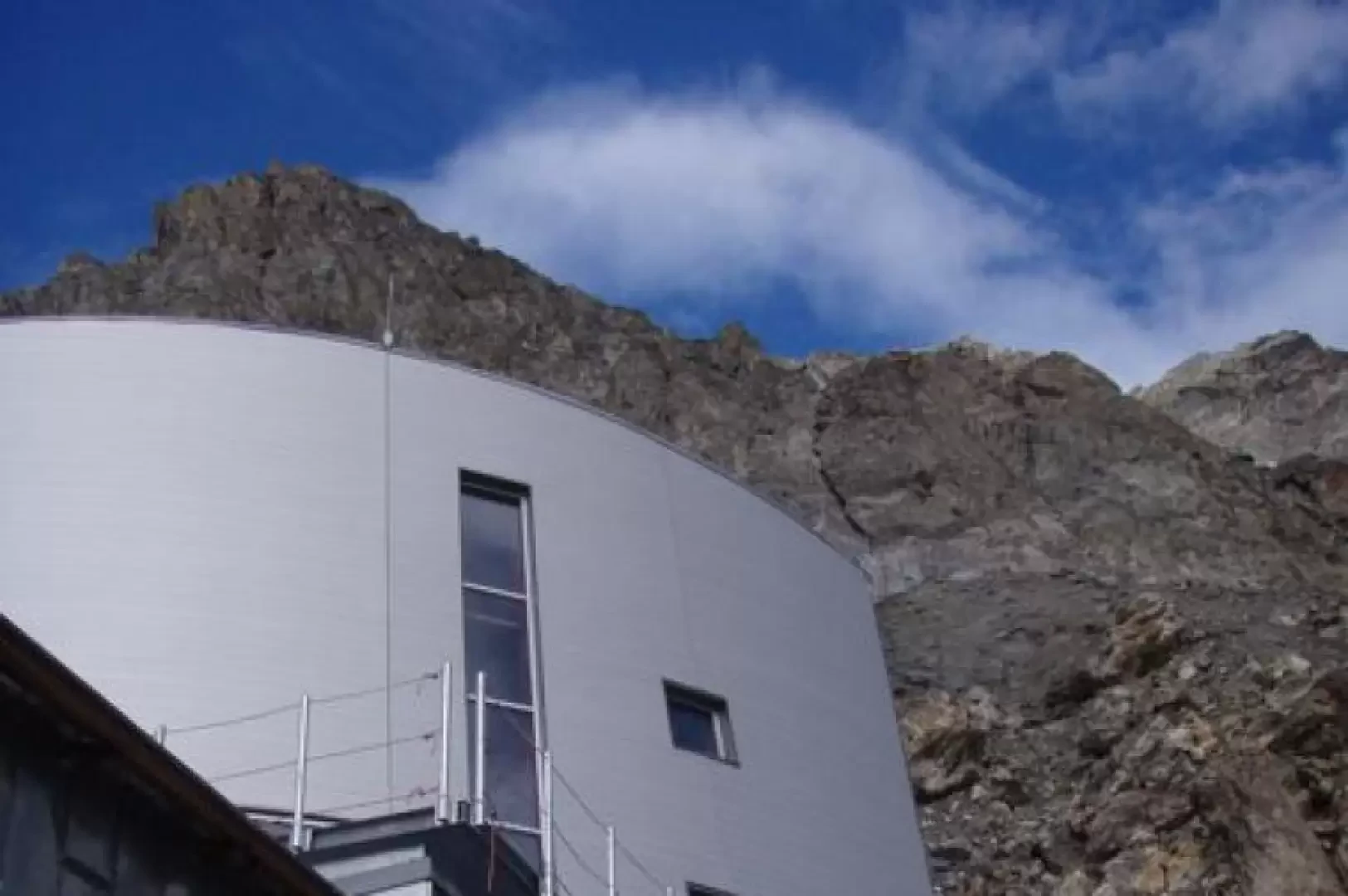
Gonella Refuge, from La Visaille
We propose the first of the two solutions below, which includes an intermediate stage at Lake Marmotte (which no longer...
F-
0.00 Km
1412 m
Edited by:
Maurizio Bergamini
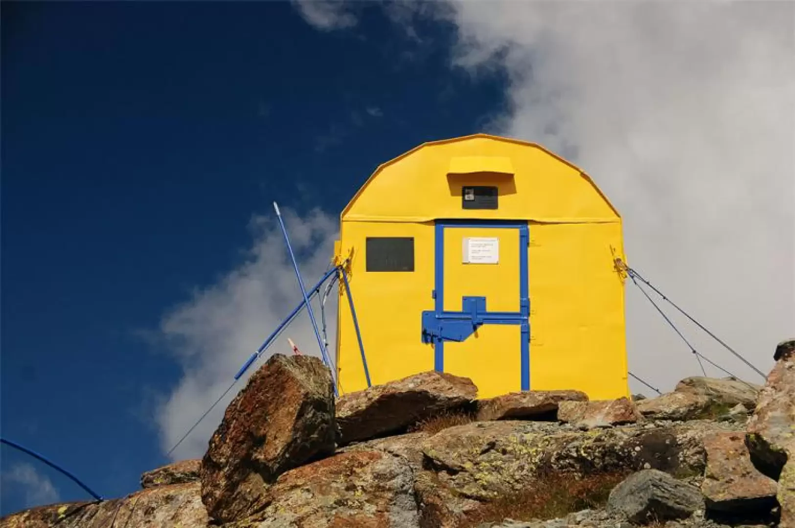
Mariano City Bivouac, from the Frachey car park
An interesting and highly satisfying route. The route winds its way through the initial section of the Cime Bianche valley....
T3
11.70 Km
1171 m
Edited by:
Maurizio Bergamini
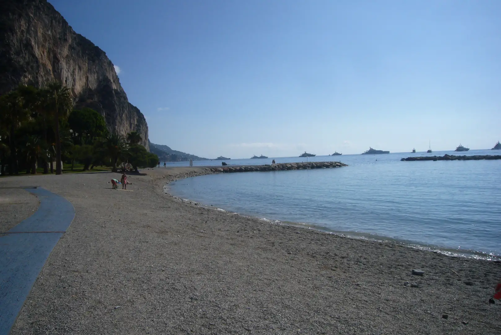
sentier des douaniers (3/4): Beaulieu sur mer - Cap d'Ail
Third part of the path from Nice to Menton along the seaside route.Alternation of scenic and naturalistic stretches with others...
T1
0.00 Km
m
Edited by:
Maurizio Bergamini
Punta Valletta, from Vens
We reach a summit strategically located to enjoy the panorama of all the main peaks of the Aosta Valley, especially...
T2
0.00 Km
1001 m

Edited by:
Maurizio Bergamini
Sorgenti del Lys
Passeggiata panoramica, che raggiunge l'attacco del ghiacciaio del Lys. In caso di bel tempo il panorama è grandioso su tutto...
T2
6.00 Km
1177 m
Edited by:
Maurizio Bergamini
Leonessa bivouac, from the Valnontey car park
Combined trip with mountain biking (not essential) plus trekking. The destination is a bivouac located in the Herbetet valley, at...
T3
0.00 Km
0 m
Edited by:
Maurizio Bergamini
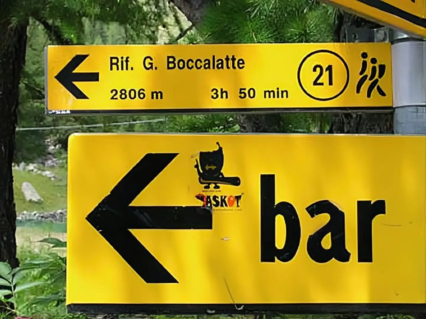
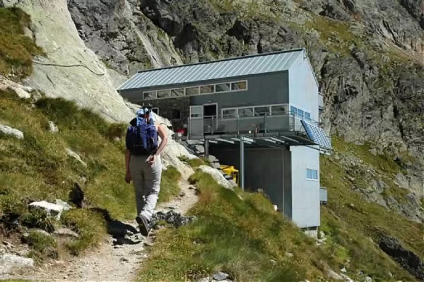
Boccalatte-Piolti Refuge, from Planpincieux
Not a very long, but intense hike, reaching the base for the attack on the Grandi Jorasses.
T3
8.00 Km
1224 m
Edited by:
Maurizio Bergamini
Dalmazzi Refuge, from Arp Nouva
Short but demanding hike. The route is quite steep most of the time: it also forces you to do some...
T3
8.00 Km
815 m
Lago Leysser
18/08/2011
Santuario di Retempio, da Pontboset
31/12/2000
Edited by:
Maurizio Bergamini
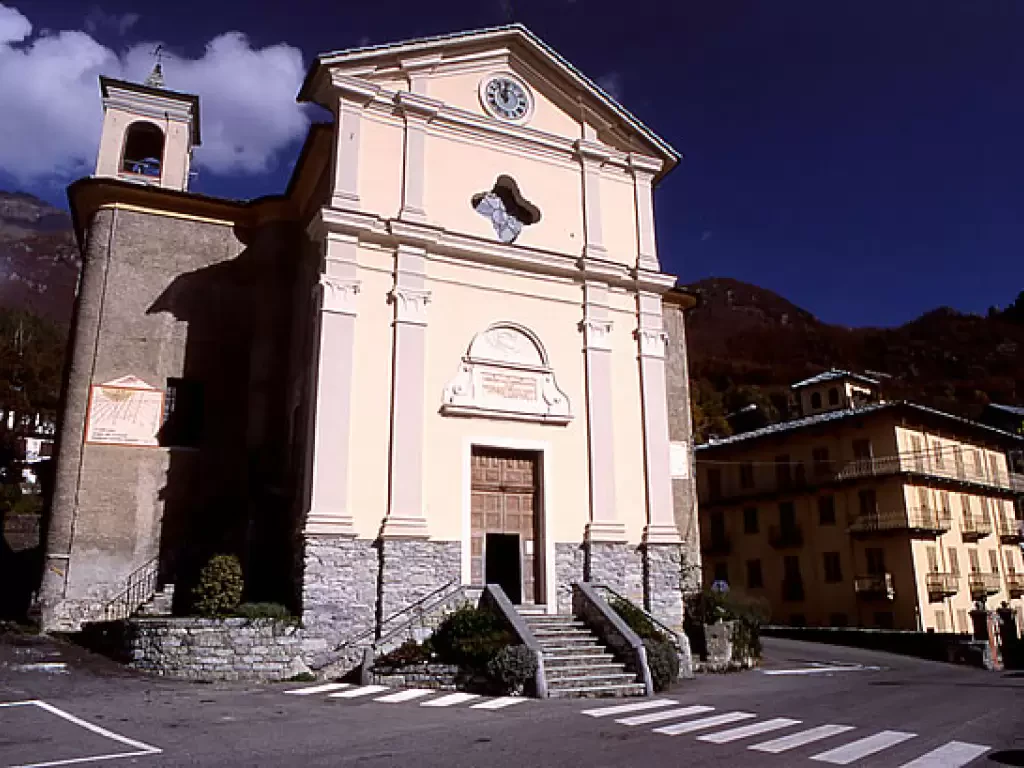
Ala di Stura
E' il comune che dà il nome all'intera vallata in cui è posto, ma l'origine di questo toponimo rimane incerta:...
1080 m
Edited by:
Maurizio Bergamini
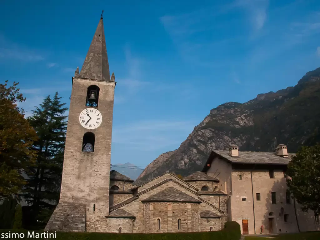
Arnad
A valley bottom municipality, located on the plain of the same name in the lower Aosta Valley. It extends on...
361 m
Edited by:
Maurizio Bergamini
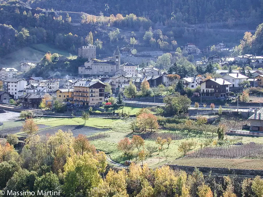
Arvier
Municipality in the upper Aosta Valley, located at the entrance to the Valgrisenche valley. It was probably already inhabited in...
776 m
Edited by:
Maurizio Bergamini
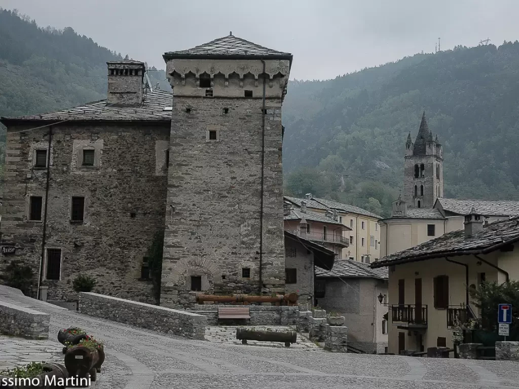
Avise
A town in the central valley, west of Aosta, strategically located on the orographic left of the course of the...
775 m
Edited by:
Maurizio Bergamini
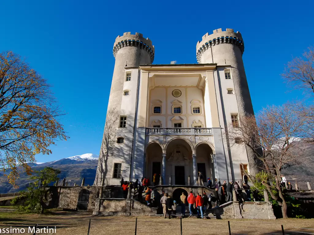
Aymavilles
A commune on the valley floor located a few kilometres west of Aosta.
640 m
Edited by:
Maurizio Bergamini
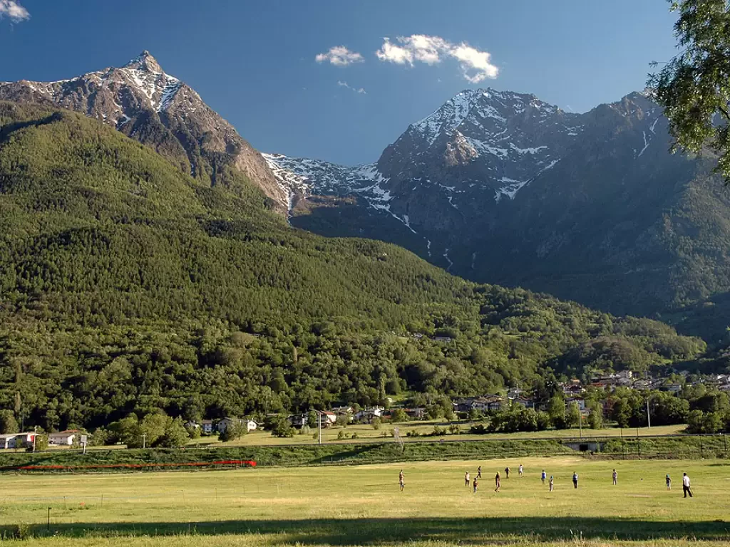
Brissogne
It is a municipality located 12 km from Aosta, at the bottom of the valley, on the right side of...
839 m
Edited by:
Maurizio Bergamini
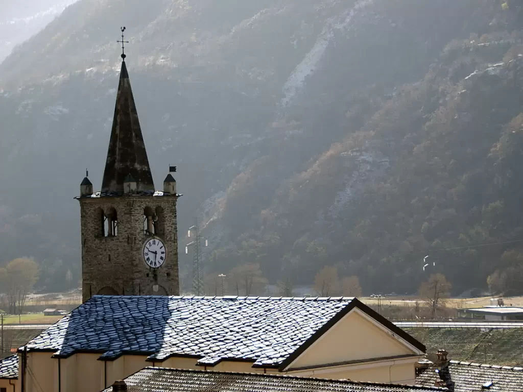
Chambave
A hilly municipality, located a few kilometres west of Châtillon, along the route of what was once the Roman road...
486 m
Edited by:
Maurizio Bergamini
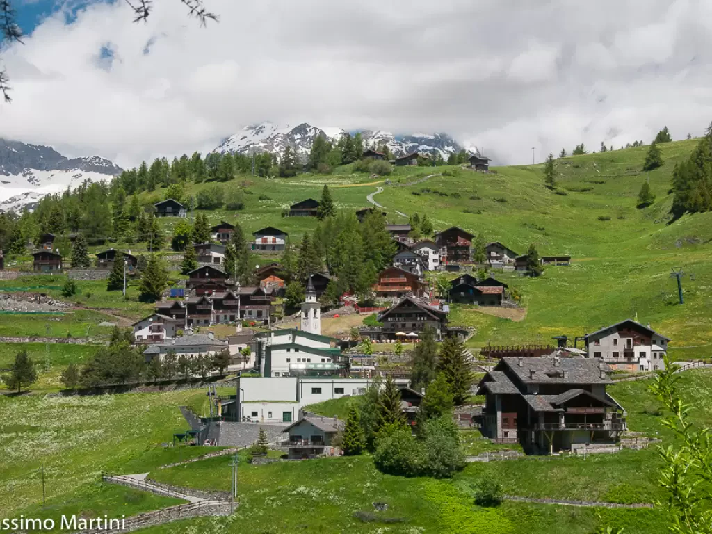
Chamois
Chamois, a small jewel nestled in the Valtournenche, in the Aosta Valley, fascinates with its peculiarities. Located at an altitude...
1815 m
Edited by:
Maurizio Bergamini
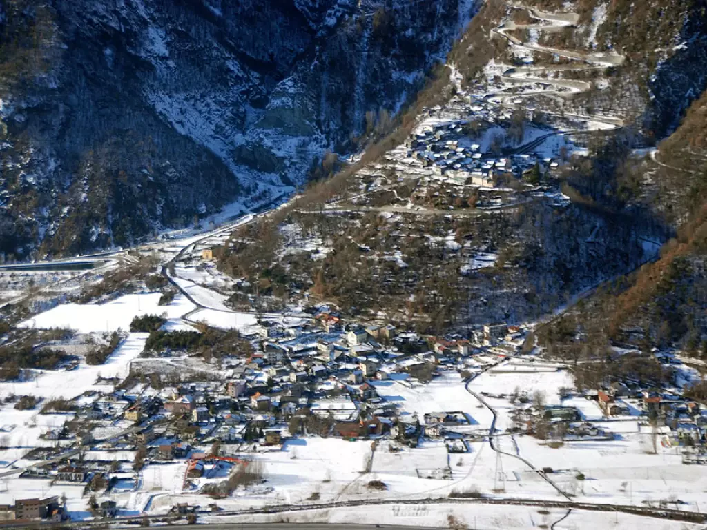
Champdepraz
A valley bottom municipality in the lower Valle d'Aosta, located on the orographic right of the Dora Baltea river. The...
523 m
Edited by:
Maurizio Bergamini
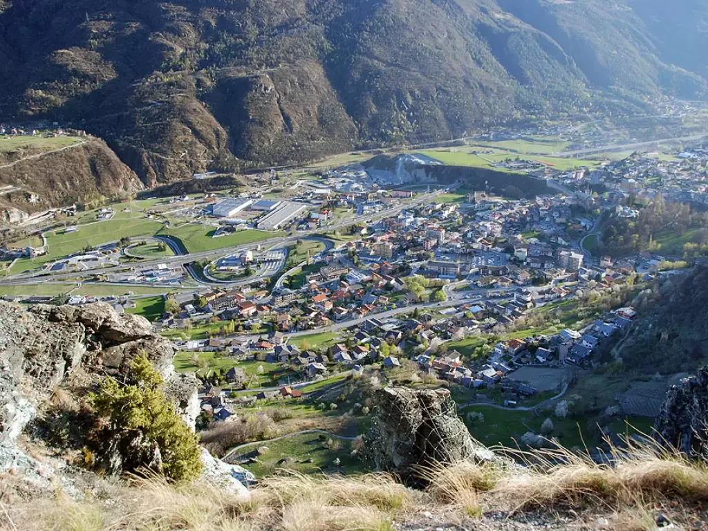
Charvensod
This municipality covers about 26 square kilometres from the southern outskirts of the city of Aosta and, keeping to the...
749 m
Edited by:
Maurizio Bergamini
Châtillon
In terms of size, it has always been one of the largest centres in the Aosta Valley. Located at the...
537 m
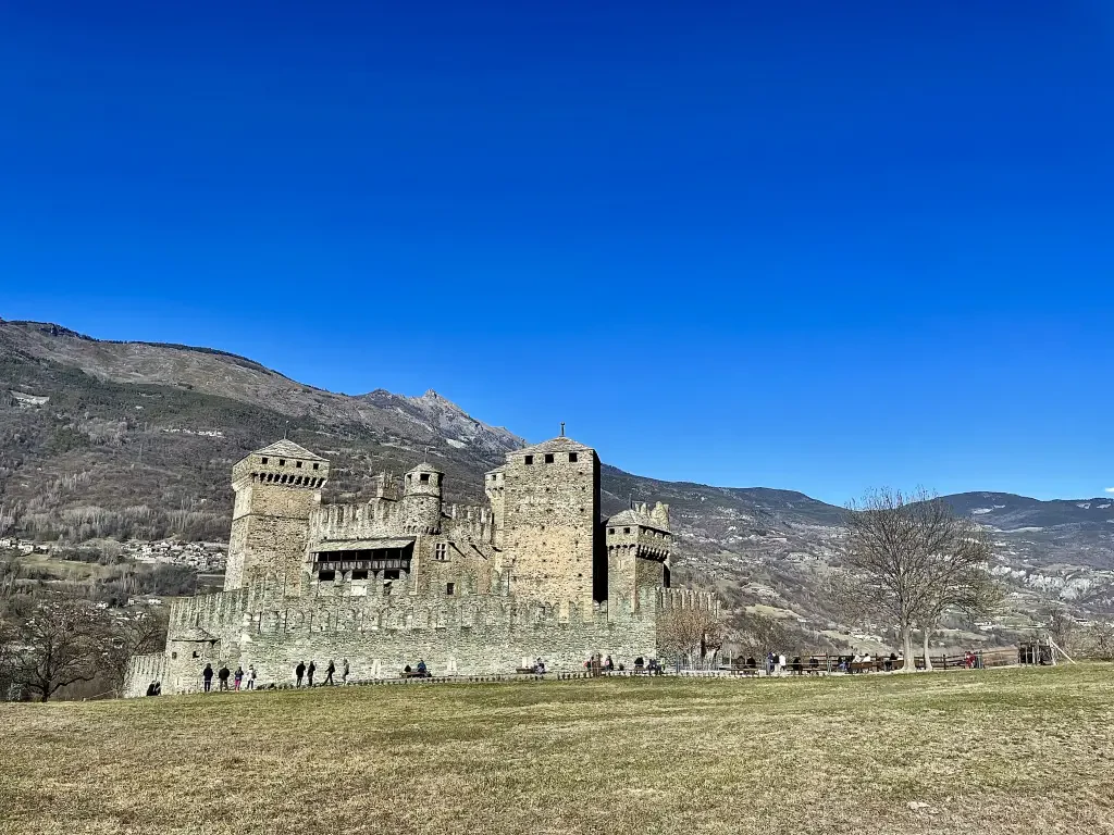
Edited by:
Maurizio Bergamini
Fénis
A village in the middle Valle d'Aosta, located 547 m above sea level, slightly off the main road to Aosta...
547 m
No results
No results