Punta Valletta, from Vens

Edited by:
Maurizio Bergamini
Updated at: 30/06/2026
Access
Navigazione stradale
Lasciare l'autostrada allo svincolo di Aosta Ovest e immettersi sulla strada regionale , seguendola per 950m (0,95km). Alla rotonda, svoltare a sinistra in direzione Courmayeur sulla strada statale e attraversare l'abitato di Saint-Pierre per 2,6km (3,55km). Tenere la destra su Rue Corrado Gex, proseguendo sulla strada regionale per 330m (3,88km), quindi svoltare a destra in Località Pommier continuando sulla per 3,5km (7,38km). Svoltare a sinistra rimanendo sulla per altri 4,6km (11,98km) sino al bivio di Vens. Svoltare a sinistra imboccando la strada regionale di Cerellaz e risalire per 7,95km (19,93km), attraversando i villaggi di Chez Louvitoz, Clavel e Cerlogne. Lasciare la e immettersi su strada comunale, proseguendo per 84m (20,01km) fino al tornante, poco oltre l'abitato di Vens, dove si trova il parcheggio.
Parcheggio
Poco oltre l'abitato di Vens, in corrispondenza di un tornante, si trova un parcheggio 🅿️ gratuito con una dozzina di posti.
Accesso con mezzi pubblici
Per raggiungere il punto di partenza dell'itinerario è necessario un mezzo privato, poiché Vens non è servita da trasporti pubblici.
Distanza e tempo di percorrenza
🕒 Tempo di percorrenza: 30 minuti
📏 Distanza: 20,1km
Navigazione GPS
Nota informativa
Le indicazioni fornite sono state verificate alla data del rilievo dell'itinerario. Prima della partenza si consiglia di verificare possibili variazioni del percorso o delle condizioni stradali. Per informazioni aggiornate si raccomanda di consultare Google Maps o Apple Maps.
Introduction
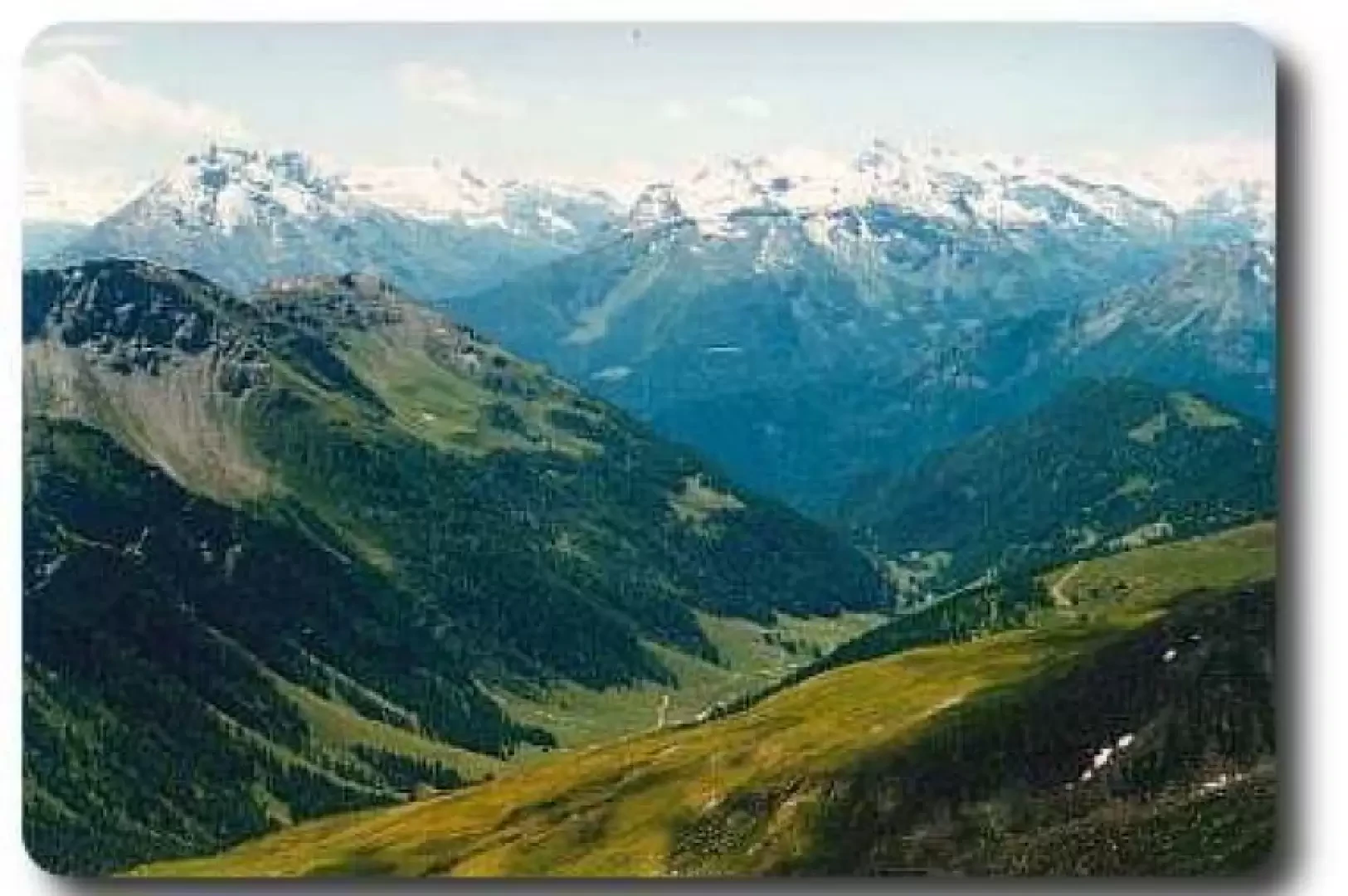
We reach a summit strategically located to enjoy the panorama of all the main peaks of the Aosta Valley, especially the north-western arc, and the Gran Paradiso massif that lies opposite.
Description
The hike crosses the whole of the Vertosan comba: it is a long, unpaved farm road starting from the locality of Joux. There is no explicit prohibition of transit and there is a car park at the end in the locality of Jovençan. However, those with a love of nature and good legs can deliberately lengthen their trek by covering the entire stretch on foot (1h30' - 2h00') or preferably by mountain bike. The start is downhill (which will turn into uphill on the way back!), then the continuation is a long plateau until the end of the valley, at Jovençan.
The farm road continues further on, but this time with the usual restrictions on use. Near the bridge that crosses the stream to lead to the Ruines pastures (2080m), continue for a few metres on the orographic right of the stream until you find the actual path. Shortly afterwards, you reach a signposted fork in the path, which indicates the directions to Col Citrin (10) and the Zioule lakes (11).
Following the path (10), you climb up a ridge, surmounted by our Valletta peak. An hour's walk is enough to reach Col Citrin. From here, keeping at altitude, we skirt the left side of the valley, along a track that often disappears. In a few minutes, our path is barred by a scree slope that descends towards the centre of the valley: cross it diagonally, aiming for the north-east slope of Punta Valletta, which is on the opposite side of the basin. There are cairns and footpaths, but everyone can easily find their own route.
Heading north-east, you will cross the path (8A) that leads to the summit. It is another hour's climb, very steep and sometimes hidden by the last snowfields. Again, there are no problems in finding your way up, and after a short time you will find the numerous yellow signs indicating the route.
The summit is extremely panoramic over the mountains surrounding the Gran San Bernardo, the Gran Paradiso massif opposite, the Mont Blanc massif in the background and most of the main Aosta Valley peaks.
Descent along the same route: to avoid confusion and find exactly the Citrin pass again, simply aim for the highest pylon, which can be seen on our right as we descend.
Comments (0)
Sign in to leave a comment