Boccalatte-Piolti Refuge, from Planpincieux
Access
Lasciare l’autostrada all’uscita di Morgex. Al semaforo svoltare a sinistra e immettersi sulla Strada Statale . Proseguire lungo la statale superando gli abitati di Morgex, Pré-Saint-Didier e Courmayeur, fino a raggiungere dopo 12,8 km la deviazione per Larzey – Entrèves. Svoltare a destra e imboccare la strada comunale, passando per La Palud, località dove nei mesi estivi è attiva la barriera di regolamentazione del traffico. Continuare a risalire la Val Ferret fino a Planpincieux, situato a 16,7 km dal bivio. Al termine del villaggio si trova un ampio parcheggio 🅿️ gratuito.
Va assolutamente ricordato che nel periodo estivo l'accesso è regolamentato: normalmente nei mesi di luglio e agosto l'accesso è consentito prima delle ore 8.00 sino a saturazione dei parcheggi disponibili. Dopo tale ora è disponibile un servizio navetta a partire da La Palud. Per ogni informazione aggiuntiva consultare la sezione apposita del sito del comune di Courmayeur.
Distanza e tempo di percorrenza
🕒 Tempo di percorrenza: 24 minuti
📏 Distanza: 16,7 km
Navigazione GPS
📍 Come arrivare con Google Maps
📍 Come arrivare con Apple Maps
ℹ️ Nota importante
Le indicazioni fornite sono state verificate alla data del rilievo dell’itinerario. Prima della partenza, è consigliabile verificare eventuali variazioni del percorso. Per ottenere indicazioni aggiornate e dettagliate, si consiglia l’uso di Google Maps o Apple Maps.
Introduction
Not a very long, but intense hike, reaching the base for the attack on the Grandi Jorasses.
Description
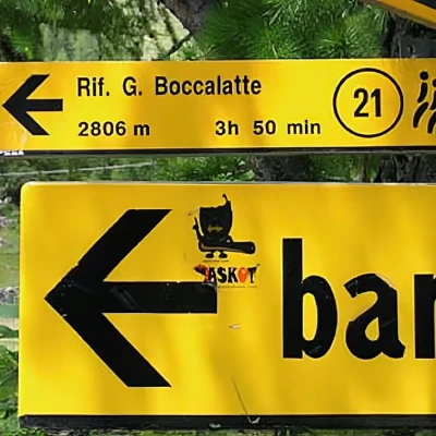
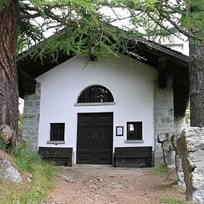
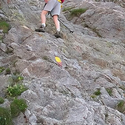
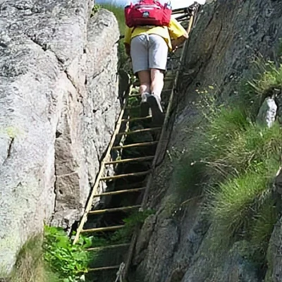
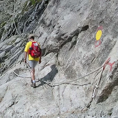
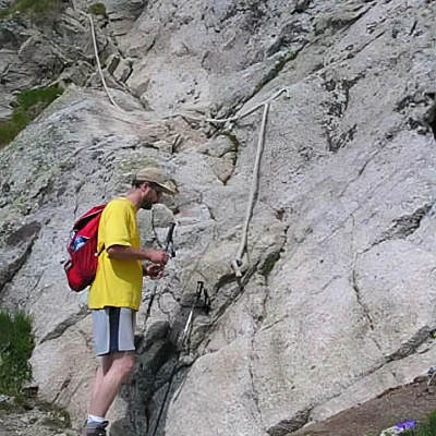
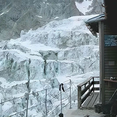
Leave the car at the car park and head towards the old village houses. Near the fountain (water) you will find the old signpost. The path leads out of the village, passing by the chapel and climbing first through a forest, then across the last meadows. The slope is steep, but not excessive. There is no doubt as to which path to follow, because no other uphill paths cross. After 50', you arrive at the end of the meadows and at a double ford of a stream, and then climb first along the banks of the second one, then on a very steep plateau, along which you will sometimes have to rest your hands to ensure your balance. Be very careful on wet ground. The end of this demanding section is symbolised, after 1h 30', by an iron ladder (about twenty steps), which is necessary to overcome a rock jump. The path continues steeply along a moraine ridge. The destination is increasingly visible above, but the advance is slow due to the steep path and the countless zig-zags. About an hour later, we turn left to cross a snowfield and the stream that forms there. Large blocks of ice precipitated from the glacier above suggest that we should not linger on this section of the trail, at least until we reach the base of the rocky island on which the hut is located. The path now becomes a simple rock path, facilitated by the presence of large fixed ropes. A little attention and a final anaerobic effort and you quickly reach the tiny terrace of the refuge. The more willing can continue a little further, still following the fixed ropes, and reach the top of the rocky island to enjoy a better view. Return along the same route.
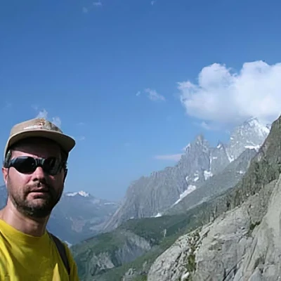
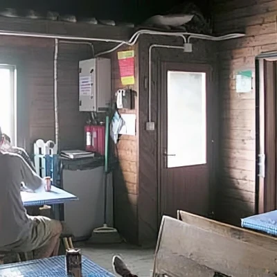
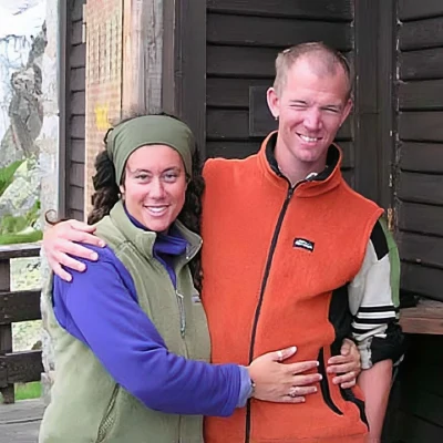
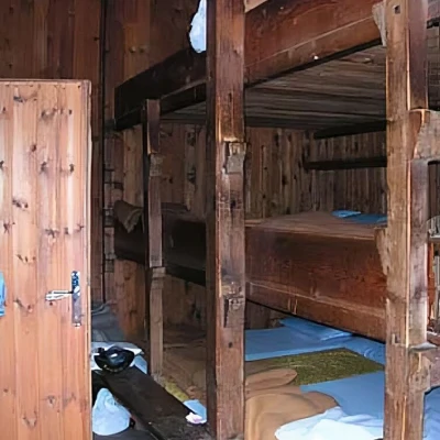
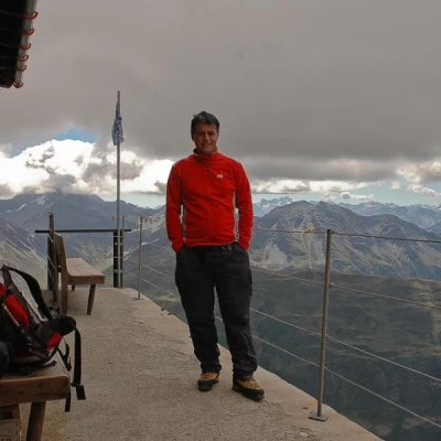
About the hut Managers: the friendly Luciana Pandolfi & Luke Wagner Website: www.caitorino.it/boccalatte.htm e-mail: luciana.pandolfi@yahoo.com Blog: blogs.bootsnall.com/luke Hut phone: (+39) 0165.844070 Mobile: 338.9478838 Open: weekends in June, then from 1st July to 1st September Photo gallery Boccalatte refuge (2803 m) - © 2004 Maurizio Bergamini Boccalatte refuge (2803 m) - © 2004 Maurizio Bergamini Boccalatte refuge (2803 m) - © 2004 Maurizio Bergamini Boccalatte refuge (2803 m) - © 2004 Maurizio Bergamini The departure of the itinerary Planpincieux chapel First exposed section The Boccalatte mountain hut (2803 m) - © 2004 Maurizio Bergamini Boccalatte mountain hut (2803 m) - © 2004 Maurizio Bergamini Boccalatte mountain hut (2803 m) - © 2004 Maurizio Bergamini Boccalatte Refuge (2803 m) - © 2004 Maurizio Bergamini Maurizio and the Val Veny The first ropes Last equipped section Boccalatte Refuge (2803 m) - © 2004 Maurizio Bergamini Boccalatte Refuge (2803 m) - © 2004 Maurizio Bergamini Boccalatte mountain hut (2803 m) - © 2004 Maurizio Bergamini The friendly managers Lunch at Boccalatte Mountain hut The bunks Boccalatte mountain hut (2803 m) - © 2004 Maurizio Bergamini Cartography * Mont Blanc - Map of Trails 1:25000 - Libreria Editrice L'Escursionista * IGC 1:25000 - Sheet 107 * Valdigne Mont-Blanc Les Sentiers 1:50000 - Mountain Community Valdigne - ©2003 Hapax
