Tour du Freyty, from Ru


Edited by:
Benedetto Lorusso
Updated at: 03/09/2024
Introduction
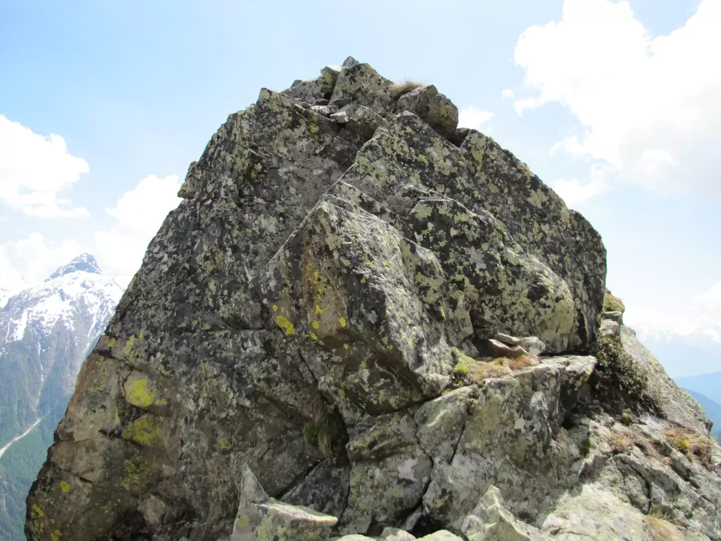
The tower is the first toe of the Aroletta chain, the hill is the first from the south that allows the passage from the Faudery comba to that of Crete Seche.
Description
According to Buscaini (Alpi Pennine I, Guida dei Monti d'Italia) the pass is 2400m high and the Tour 2417m, according to the "Map of the Trails" of the "Escursionista" (Valpelline-Saint Barthelemy) the pass is 2467m while the Tour is not mentioned.
My altimeter, calibrated at Ruz, gave an altitude closer to the latter, the altitude of the summit on CTR VdA 1/10.000 is 2487m.
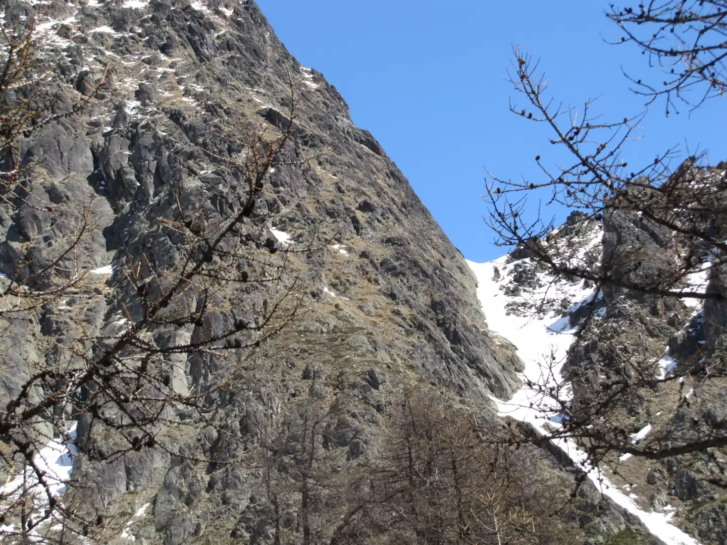
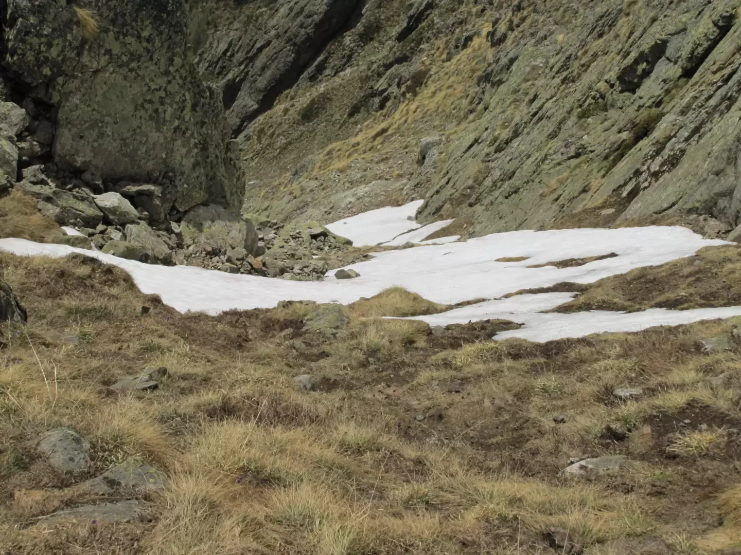
The comba di Faudery, which can be reached, is one of the most beautiful and wild places in Valpelline, squeezed as it is between the impervious walls of Morion to the W and Aroletta to the E, which in springtime continually dump avalanches of stones and snow.
From Ruz, m.1695, From Ruz, m.1695, follow the signs (on the road or short cuts) for the Crete Seche refuge, until the path veers sharply to the right, crossing a macereto.
We then continue along the road until we reach a path (yellow marker 1) which starts to the left (at an altitude of c. 1860 m.) to continue through the woods in a slightly sloping terrain.Follow a few cairns up the little valley to a dry stone wall where the path reappears on the left. If you wish, you could continue up the little valley (on the right) to reach the scree slope before the pass.
Continue along the easy path that climbs more steeply up a ridge and then goes left again.
Be sure to leave it at a small valley to go back up to the comba and meet a path that descends from it to a small green valley crossed by a stream.
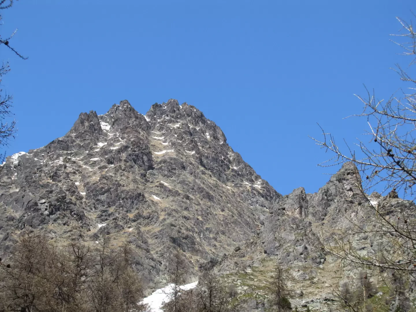
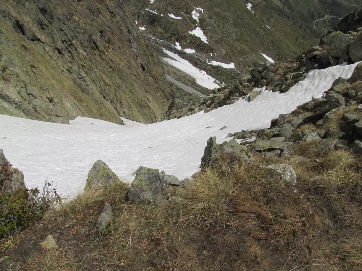
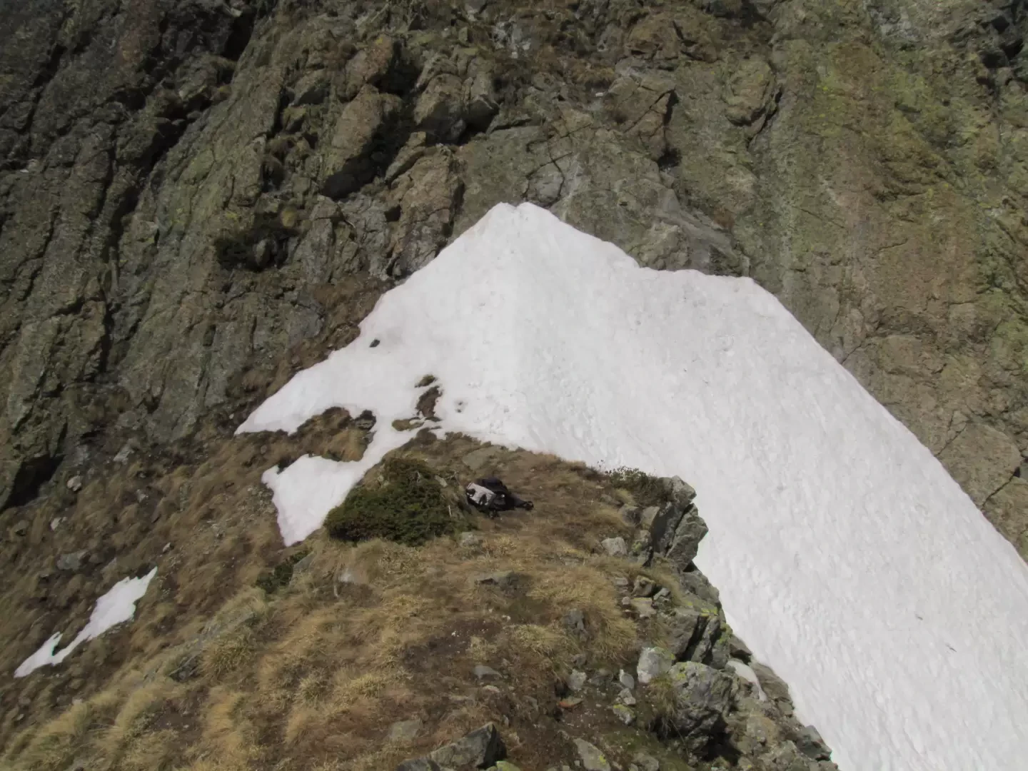
The col gully is much further to the right, and one must look for the best way to reach it by crossing, as high as possible, a boulder-strewn gully below the Aroletta aiguille.
The gully is 220 metres high, not too steep, and is best climbed up to the col, which is snow-covered until late in the season (the rocky gully that rises from Crete Seche is snow-covered for a long time).
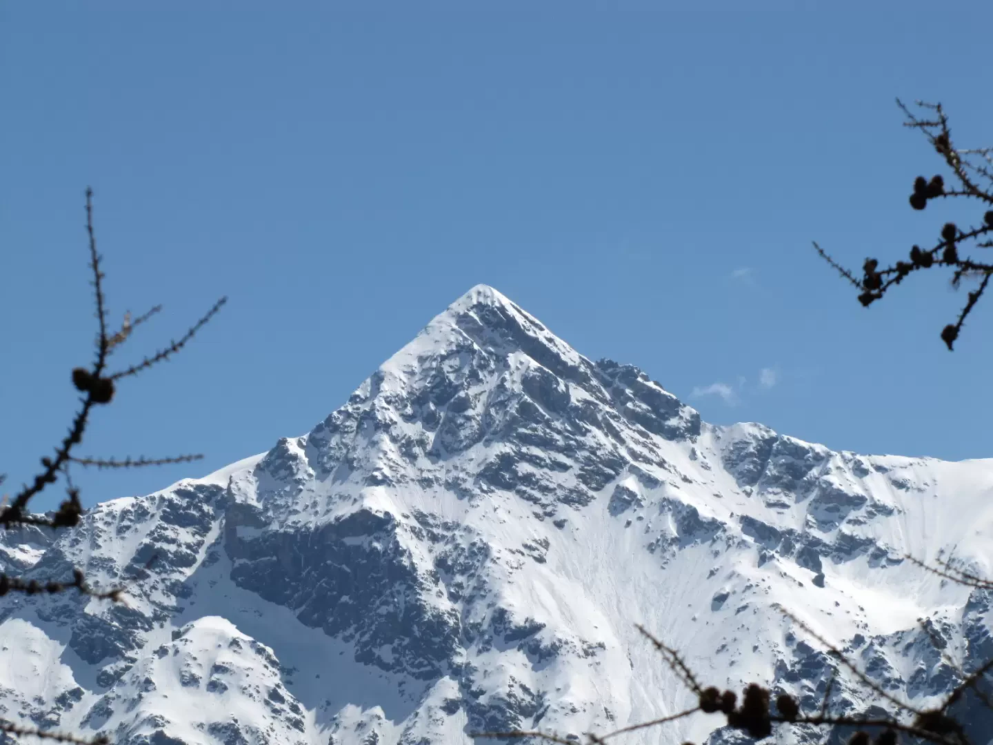
The Crete Seche refuge appears from the col, the mountains of the upper Valpelline dominated by the becca di Luseney.
Photo gallery
We have been there
Edited by:
Benedetto Lorusso
Col e Tour du Freyty
In discesa ho cercato un vecchio sentiero che riporta a Crete Seche passando sotto la Tour. L'ho trovato per subito perderlo, ho continuato nel bosco (faticoso) sino a raggiungere l'interpoderale che sale da Ruz.
Comments (0)
Sign in to leave a comment