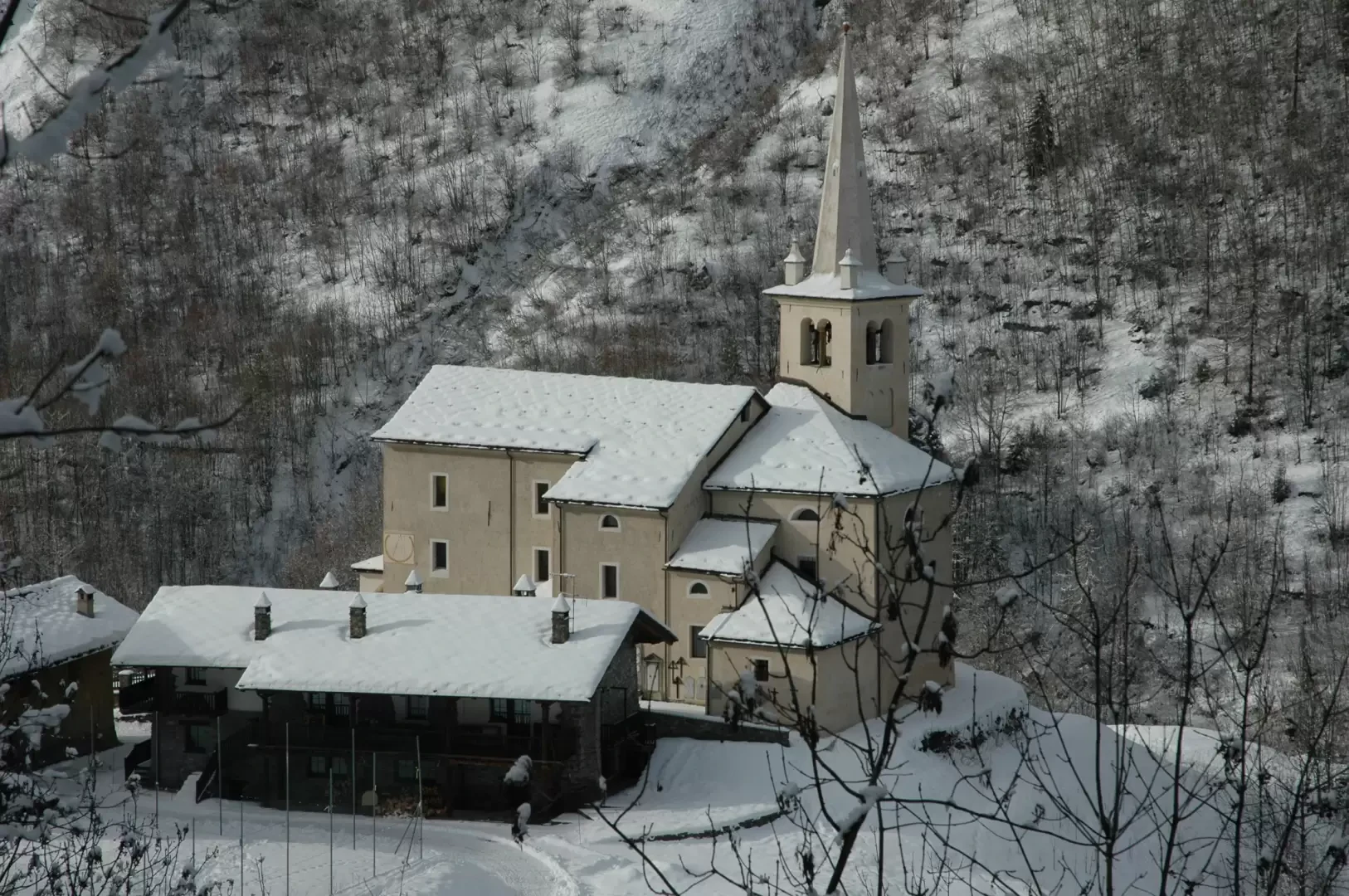
This hike takes place in the wild environment above the municipality of Rhêmes-Saint-Georges: at this point the valley is narrow and the sun rarely appears in winter, but there is no shortage of colourful suggestions and, why not, a few nice encounters with the fauna of the Gran Paradiso National Park.
Description
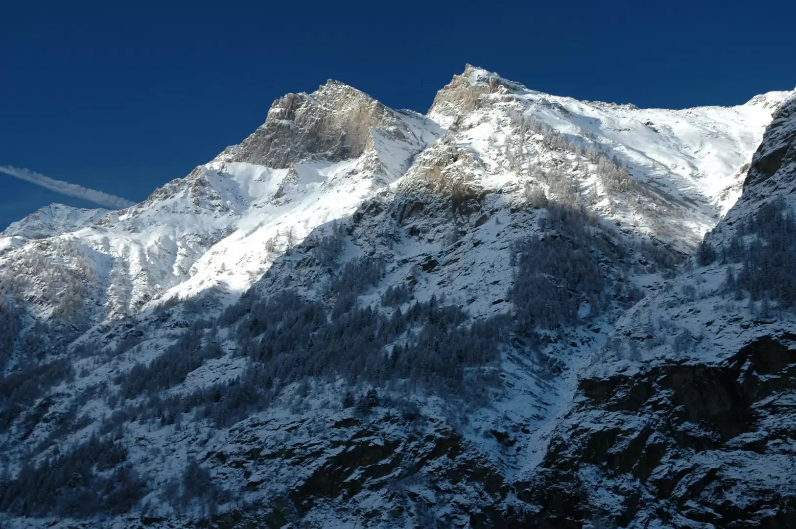
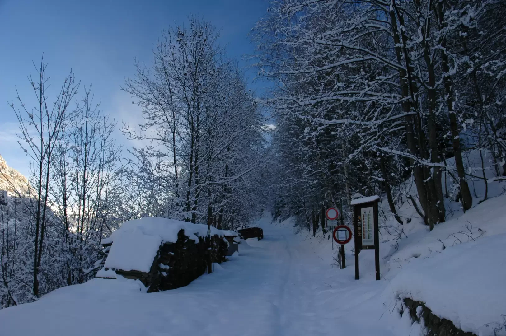
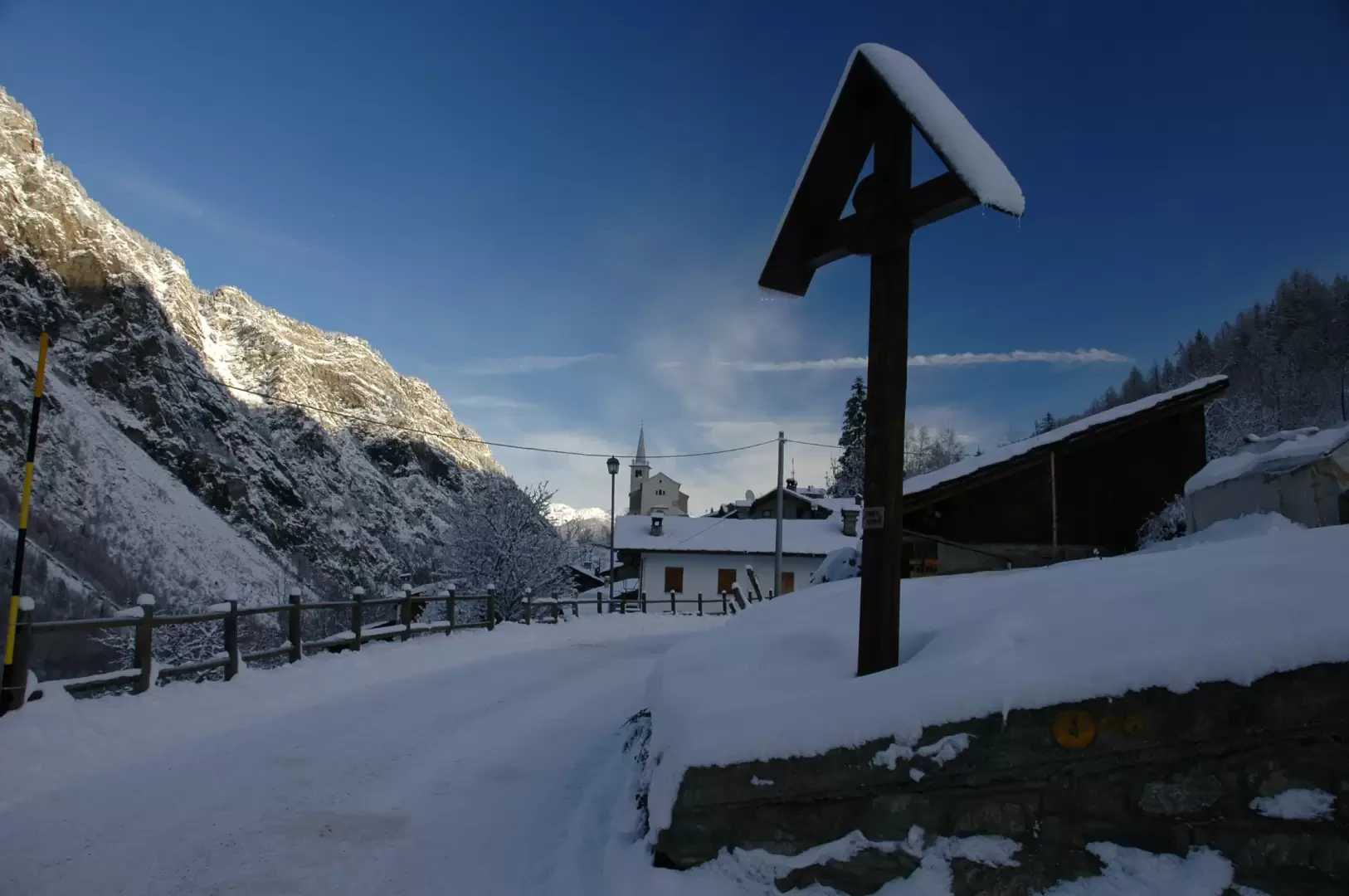
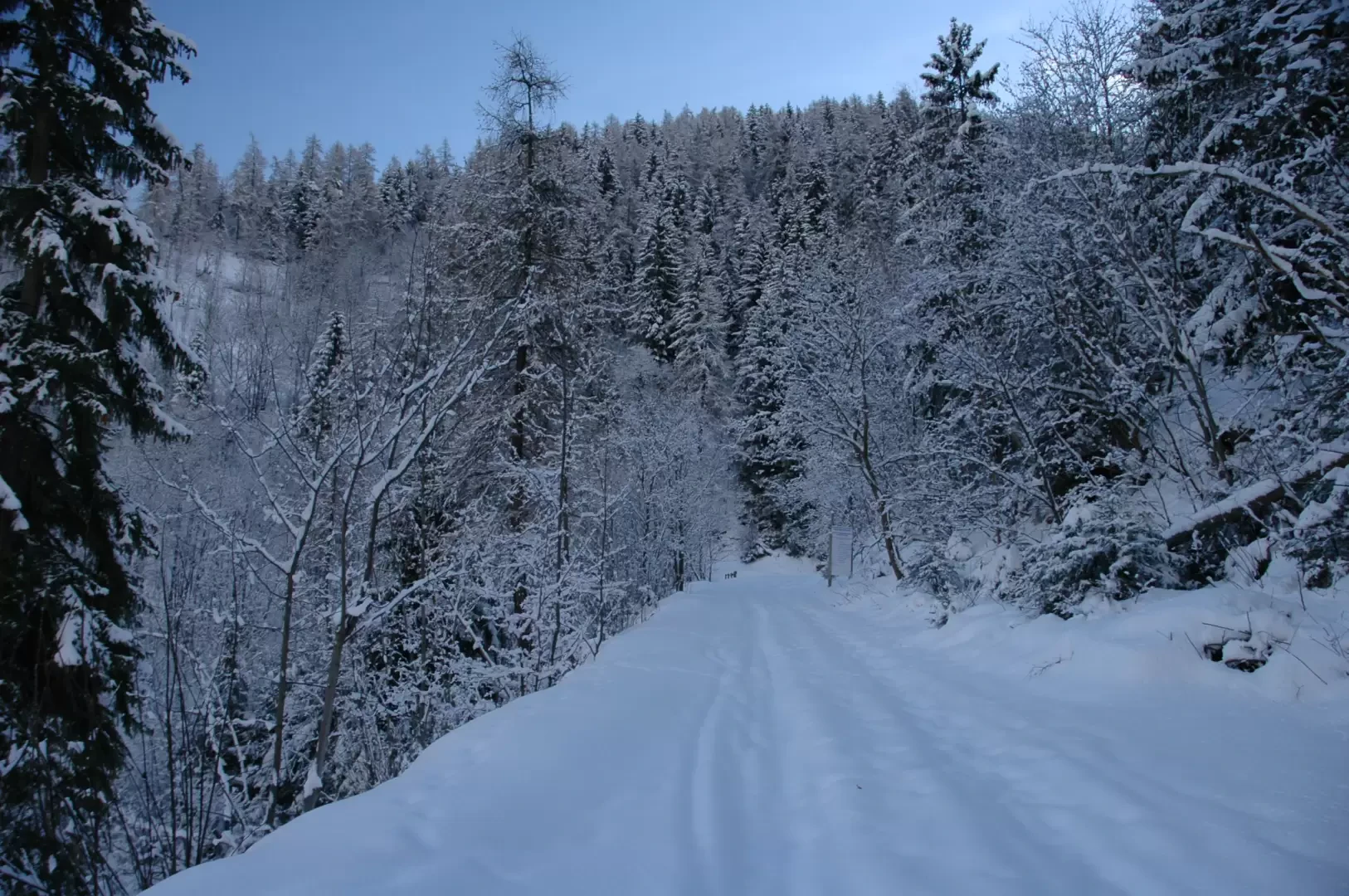
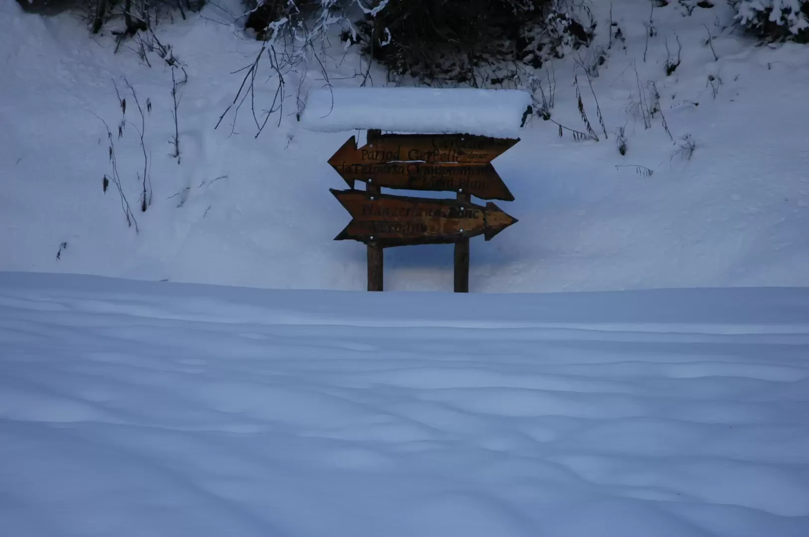
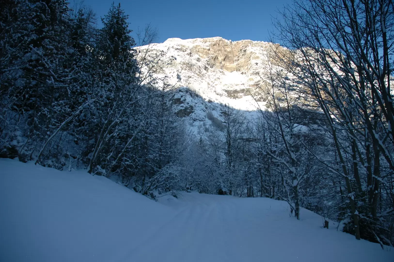
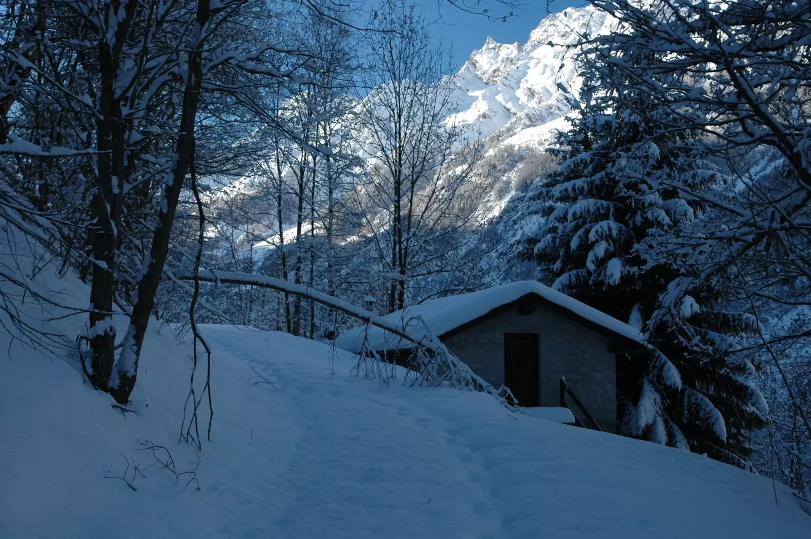
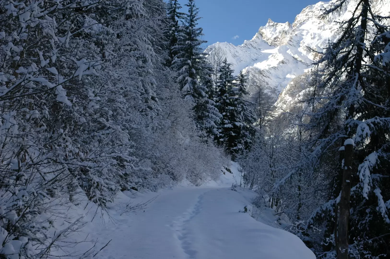
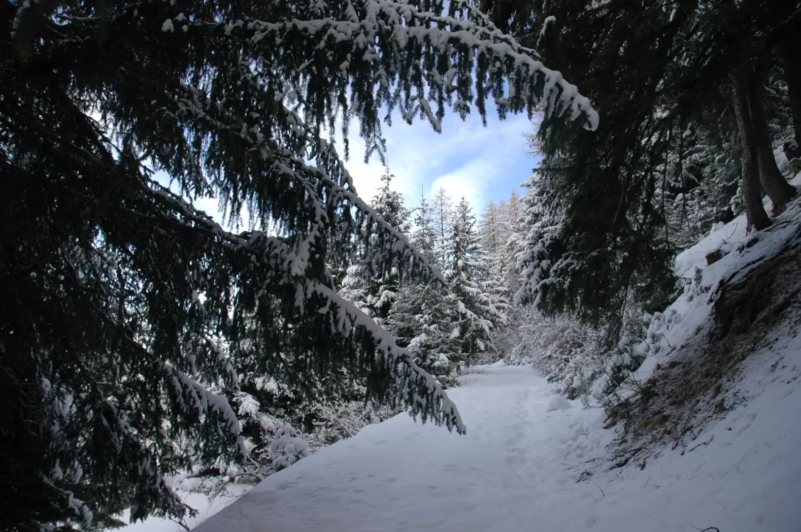
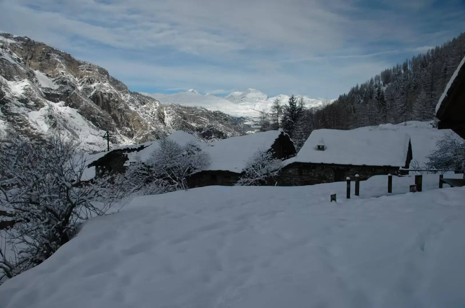
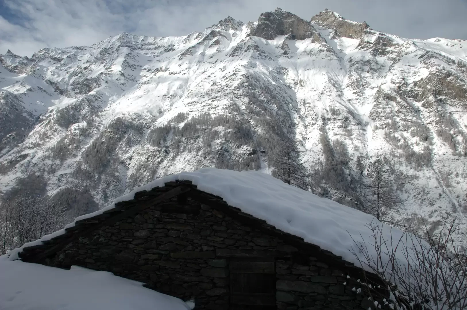
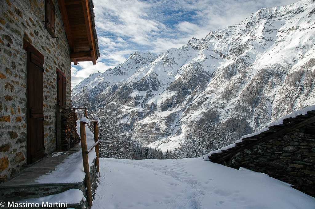
Leaving the car near the parish church, we set off on a small road that after a couple of hairpin bends reaches the no-transit zone and the start of the snowshoe route. The path climbs up a snow-covered farm track that goes up the orographic right-hand side of the Rhêmes valley. After a few minutes, the little road turns right until reaching a fork with a wooden signpost (1320m, 0h10'): turn right, following the signs for Verrogne, and climb up towards the valley floor. The ascent is gentle and, with good snow cover, you can experience the feeling of winter: shade, snow-covered trees and glacial colours. We pass a few hairpin bends that allow us to gain a little altitude and continue, letting ourselves be tempted by some interesting views of the rocky spires of the Becca di Tos (3301m). After half an hour of a slightly varied route, we come to the Ronc farmstead (1391m, 0h30') and continue for a long, relatively straight stretch: the ascent is gentle, steady and without any particular jolts. After the long, semi-straight stretch, we turn left and enter a dense fir forest: in this stretch it is possible to encounter some Park animals such as chamois or foxes. The itinerary draws to an end when, among the sparse larch trees, the first cottages of Verrogne can be glimpsed: a few metres and you reach the village (1602m, 1h30'); in this forgotten corner you can appreciate a beautiful view of Mont Fallère. The descent follows the same route as the ascent.
In case of snowy roads, it is advisable to leave the car along the regional road to avoid getting stuck on the steep little road.


Comments (0)
Sign in to leave a comment