From the motorway exit at Châtillon/Saint-Vincent turn left and follow the main road up to a roundabout, take the second exit and head west on Via E. Chanoux through the centre of Châtillon, cross the Marmore stream and turn right first into Via Menabrea and then Via Martiri di Chesod before turning onto the regional road , the second exit at the characteristic roundabout with the Matterhorn in the middle. Follow the regional road for 8km to Antey-Saint-André where, at Hotel Filey, turn left to take the regional road to Torgnon. Climb up the regional road for about 6 kilometres to reach the main town of Mognod. Continue straight on, following the signs for the ski lifts. After 400 metres at a hairpin bend to the left, take the municipal road on the right, following the signs for Petit Monde, Triatel and Etirol. Now continue on the narrow road until you reach the village of Triatel and finally that of Etirol, where you will find a small car park 🅿️ near the village. If the car park is full, you can turn around and park near the Moulin.
[0h31'] - [19.6km] How to get there with GMaps How to get there with Apple Maps
The information provided here has been verified on the date of the route survey. Before setting off, it is advisable to ensure that no substantial changes have occurred on the route to the starting point. Therefore, we recommend the use of the satellite navigation apps provided by Google or Apple to obtain up-to-date and detailed directions.
.
Introduction
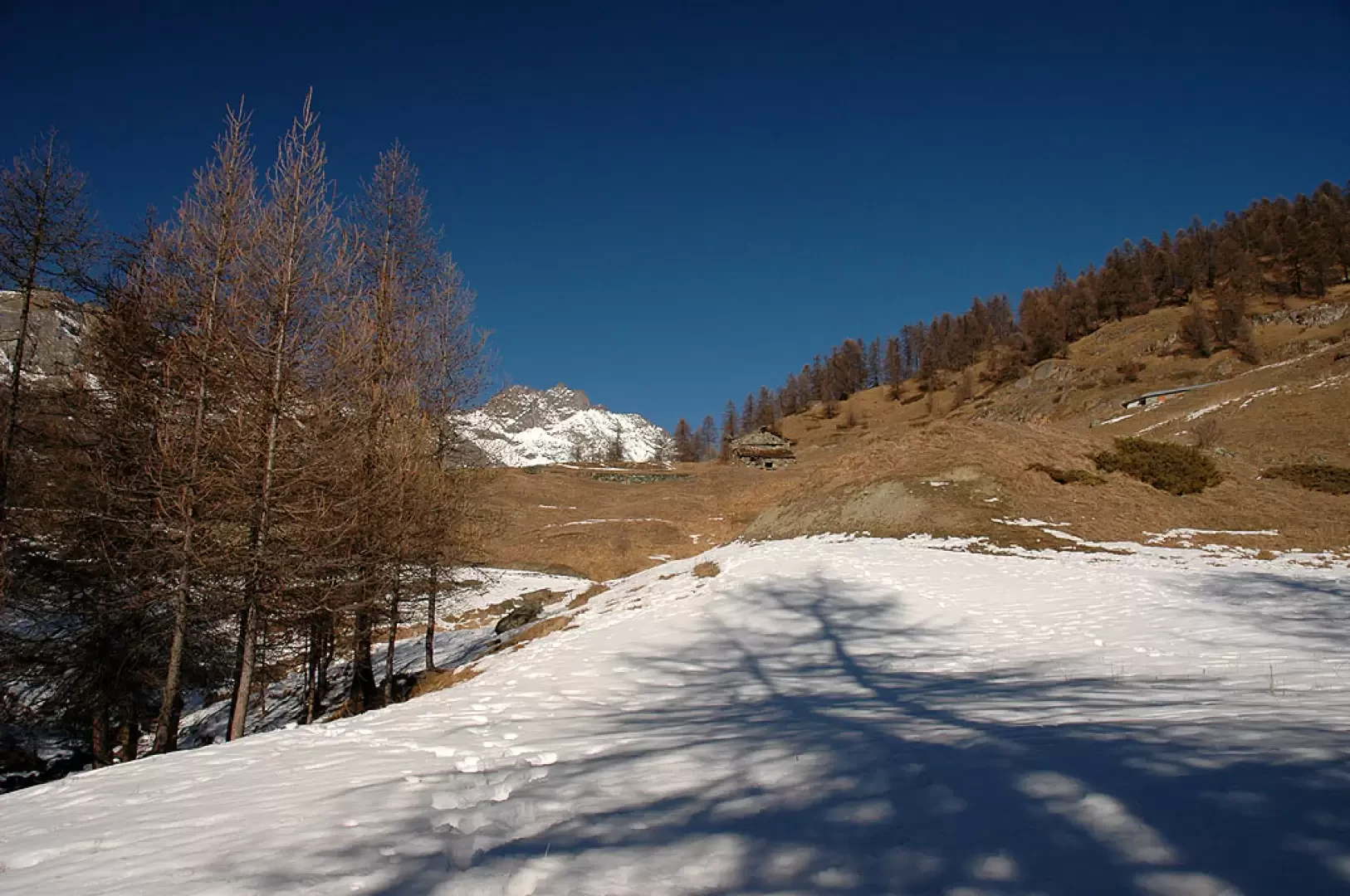
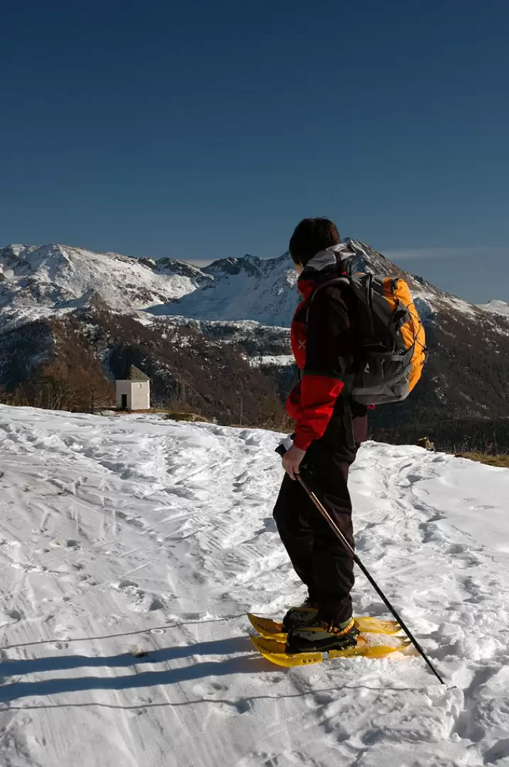
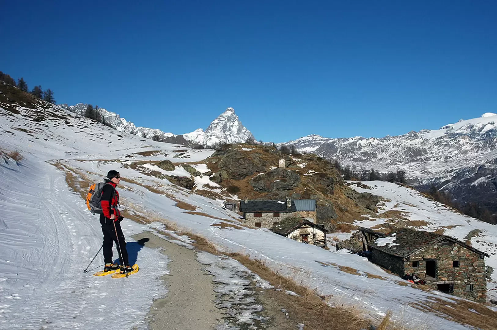
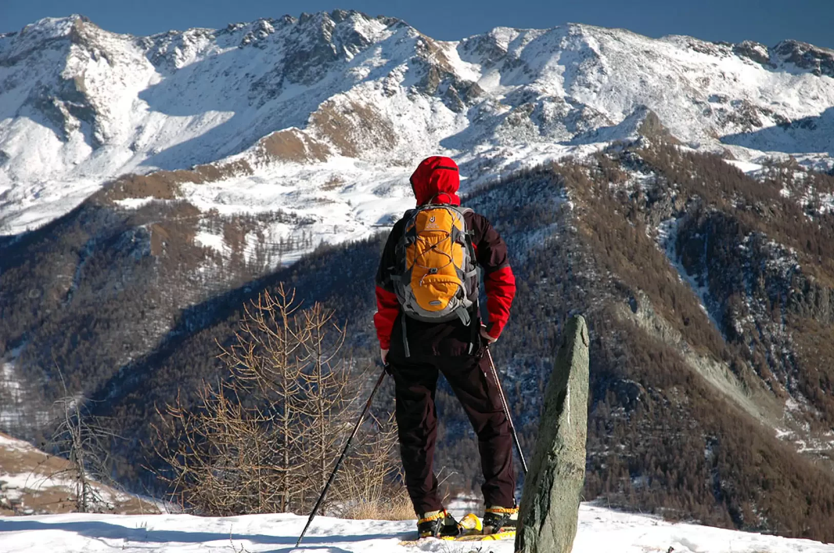
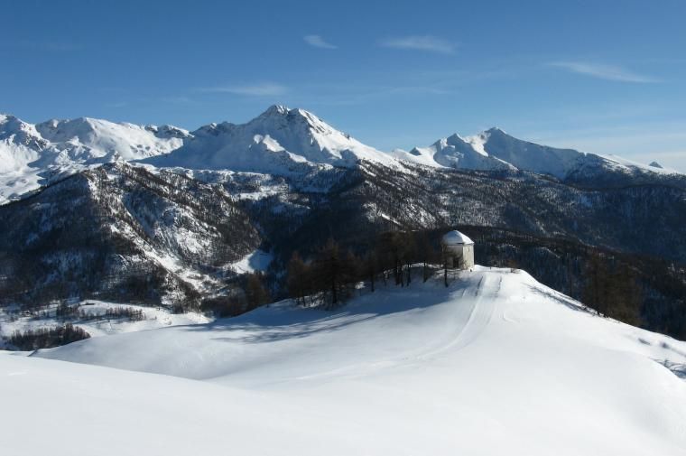
Interesting itinerary in the middle Valtournenche. The ascent to the Oratory of Gilliarey allows you to admire splendid views and discover ancient legacies of mountain life.
Description
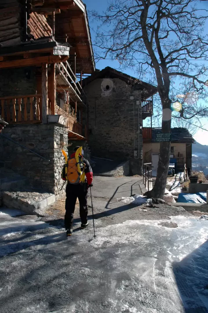
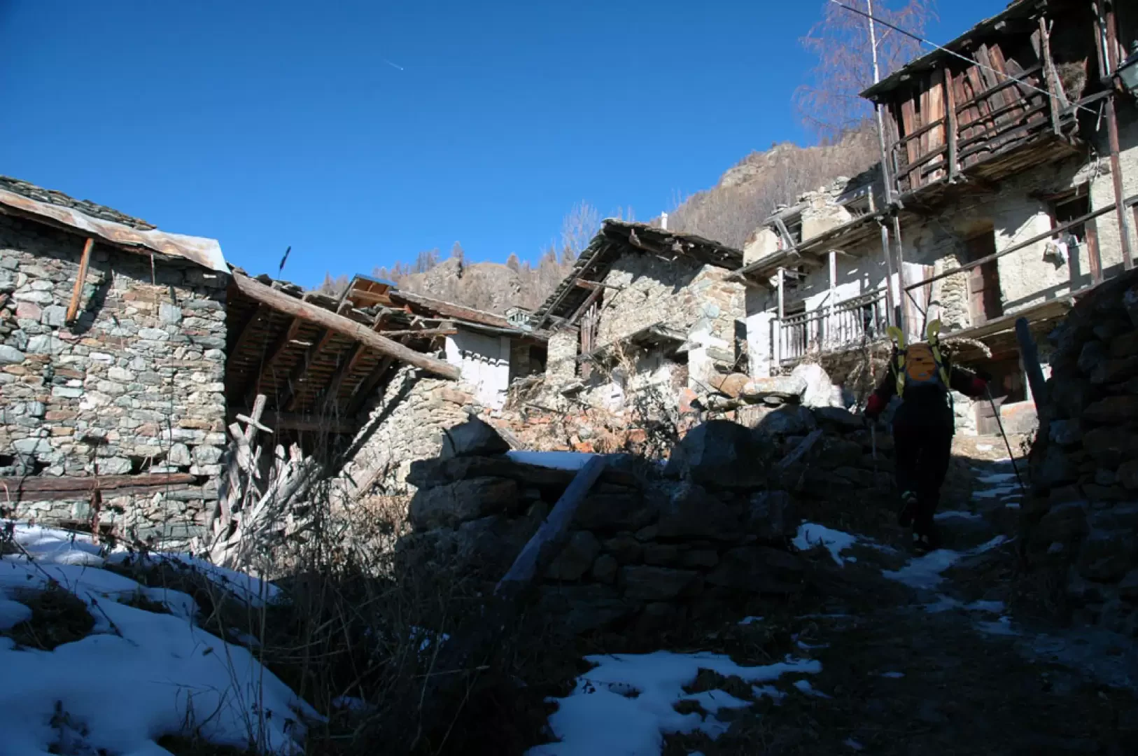
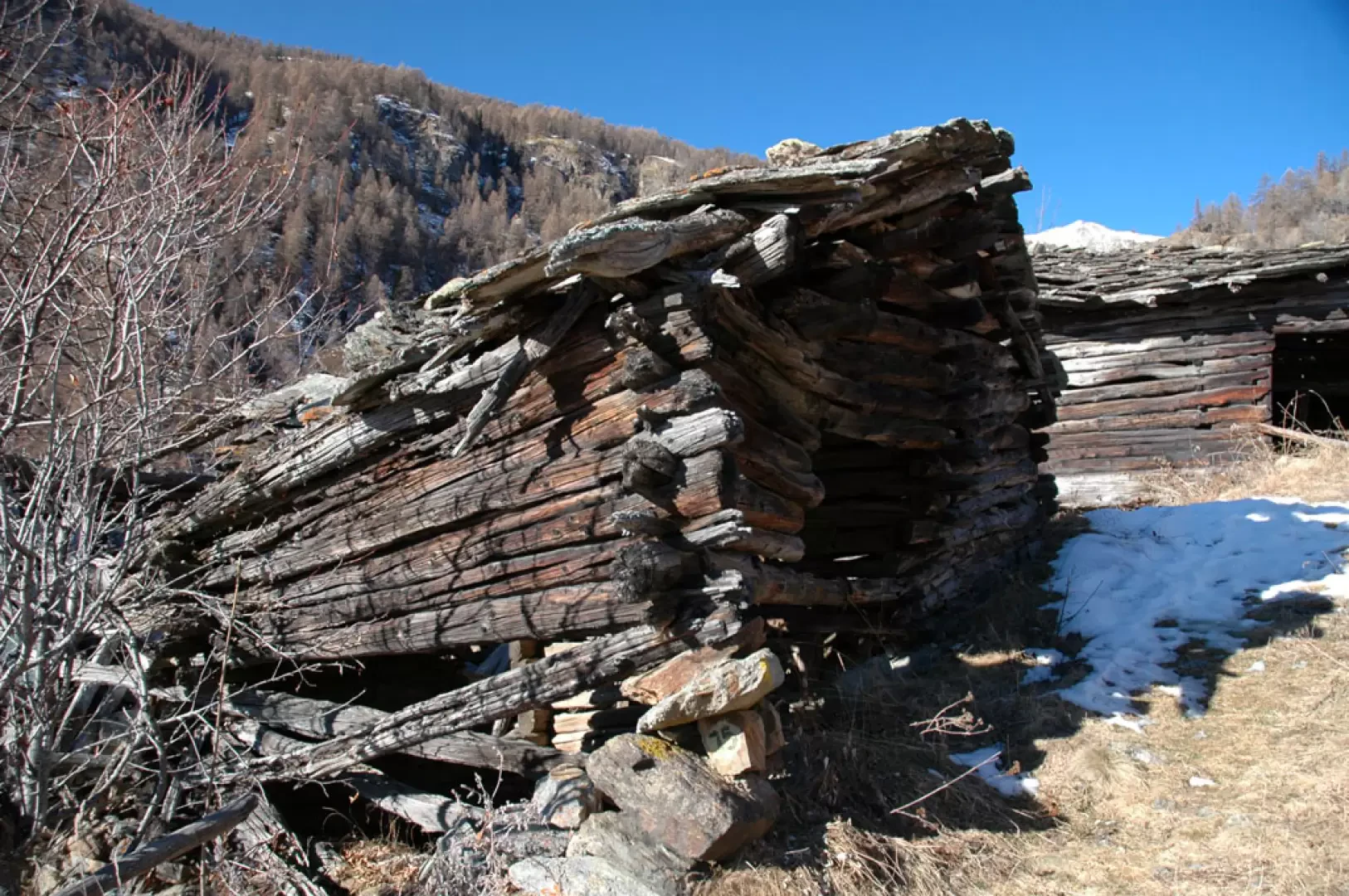
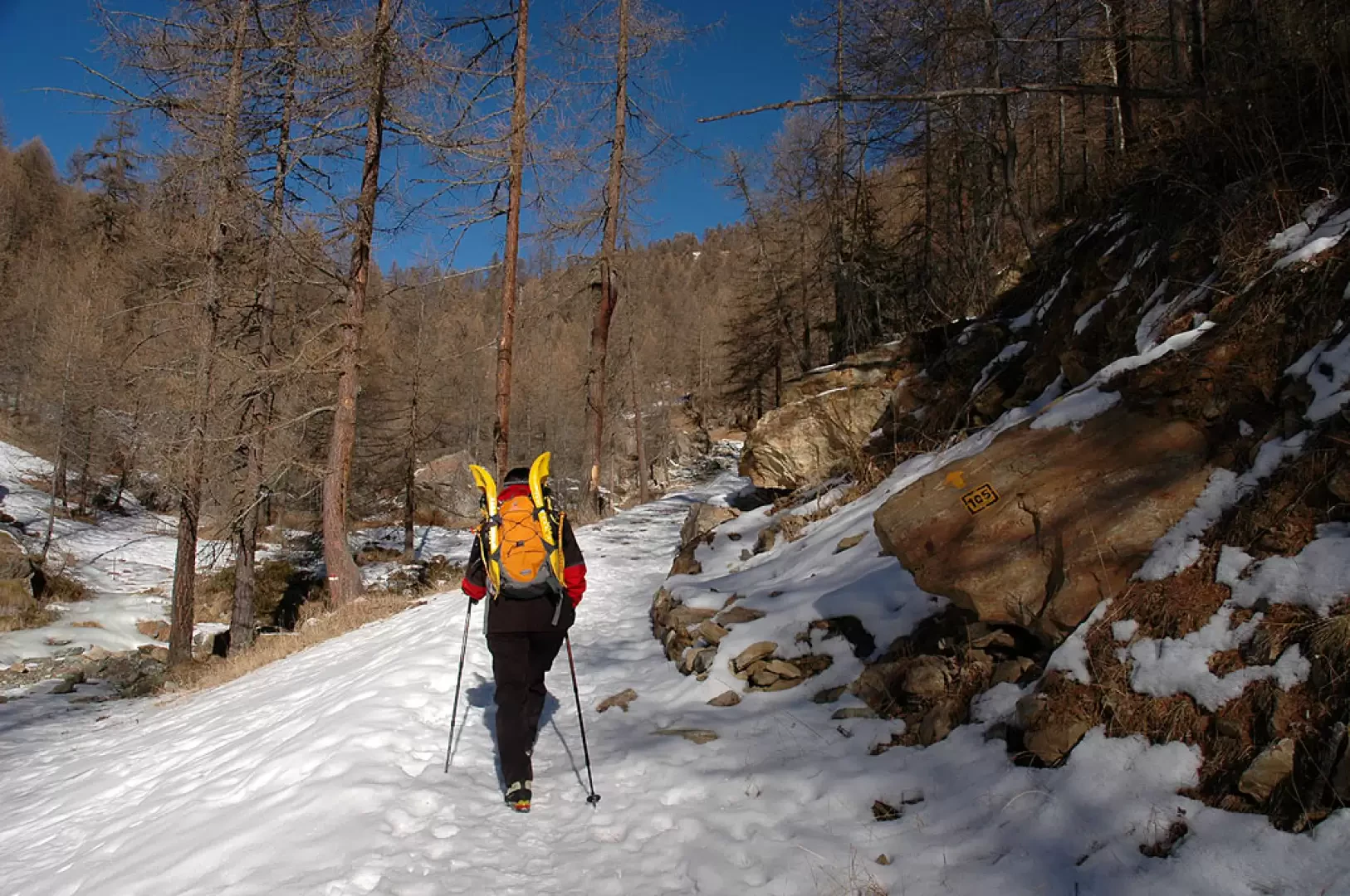
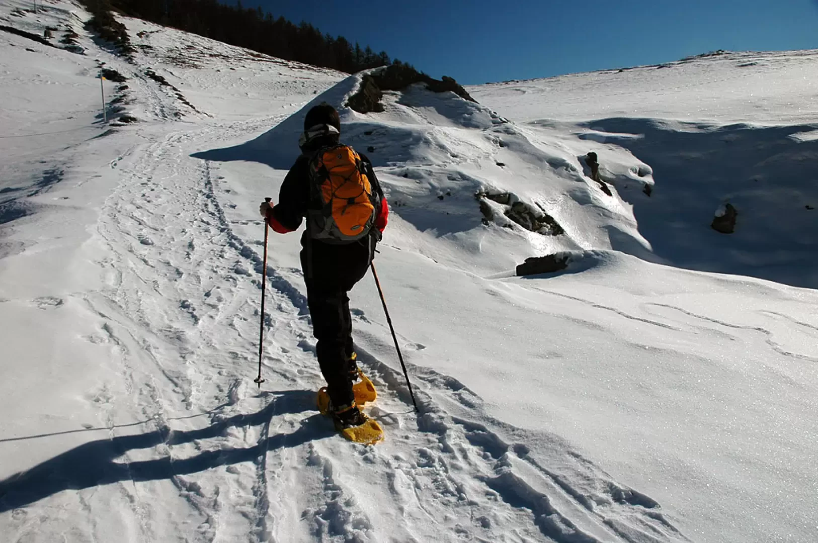
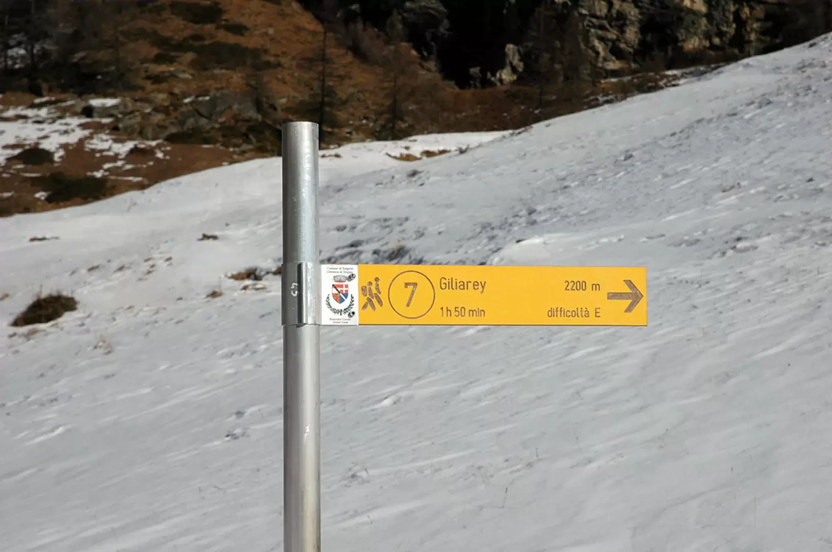
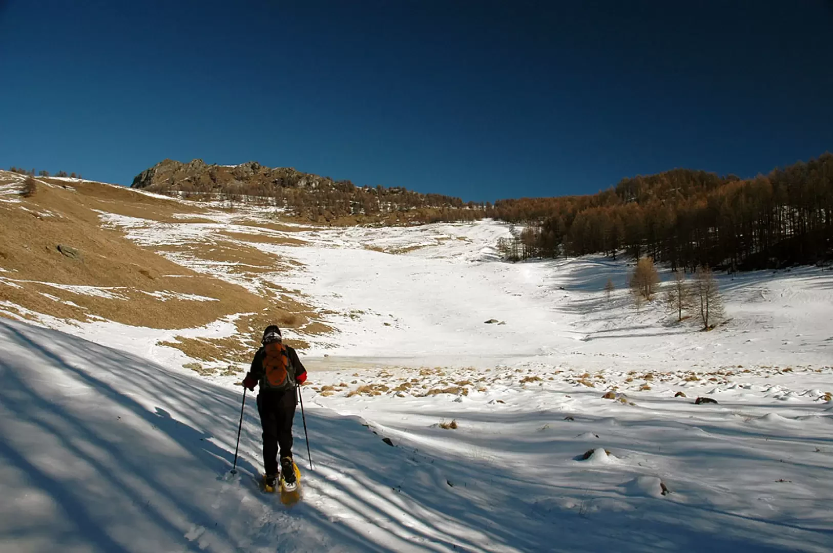
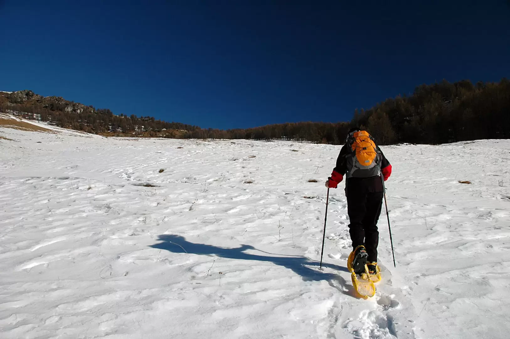
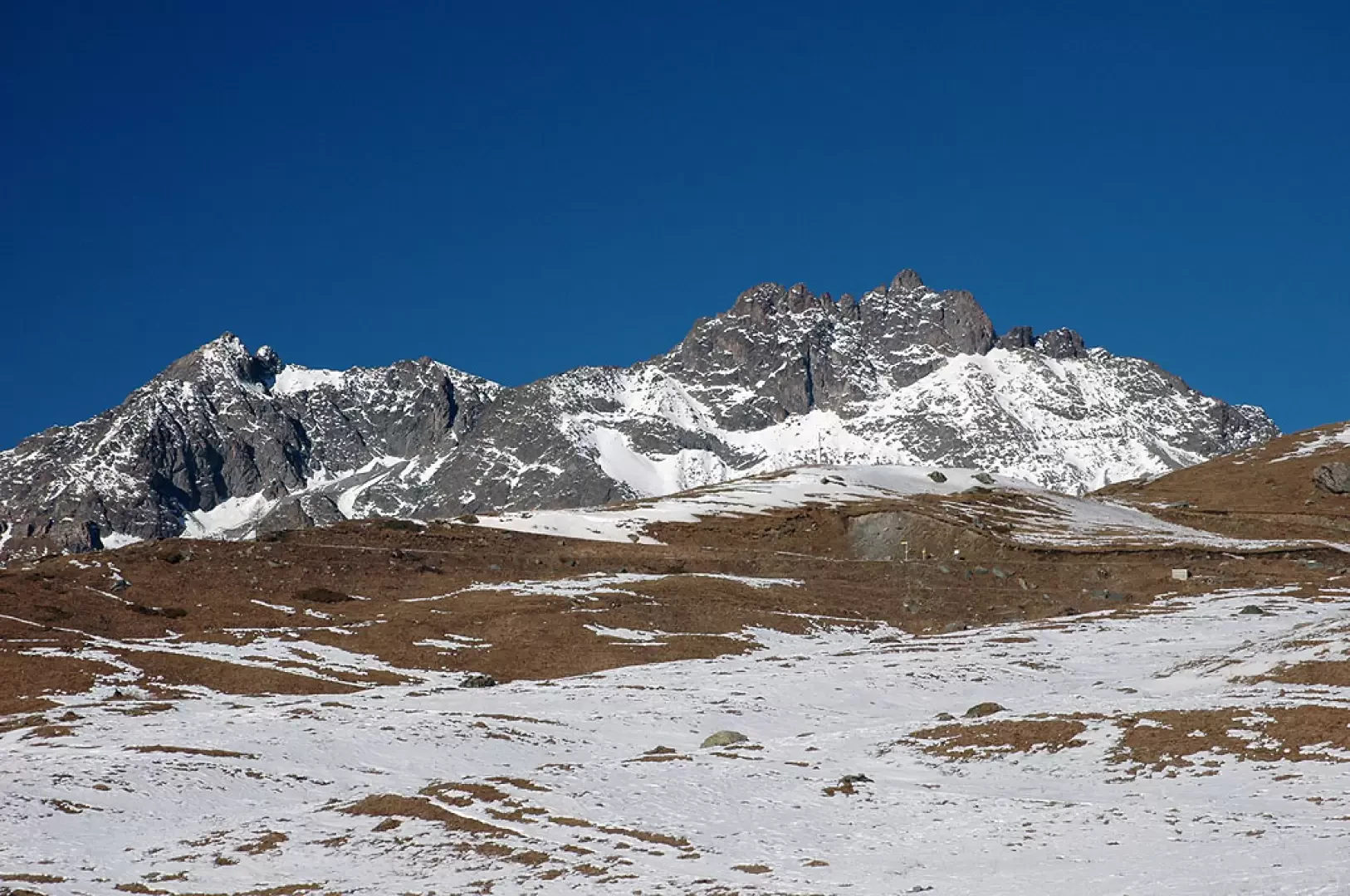
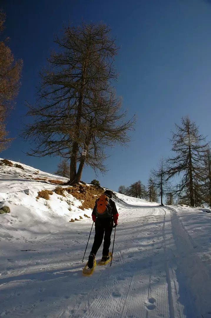
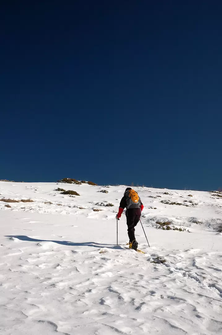
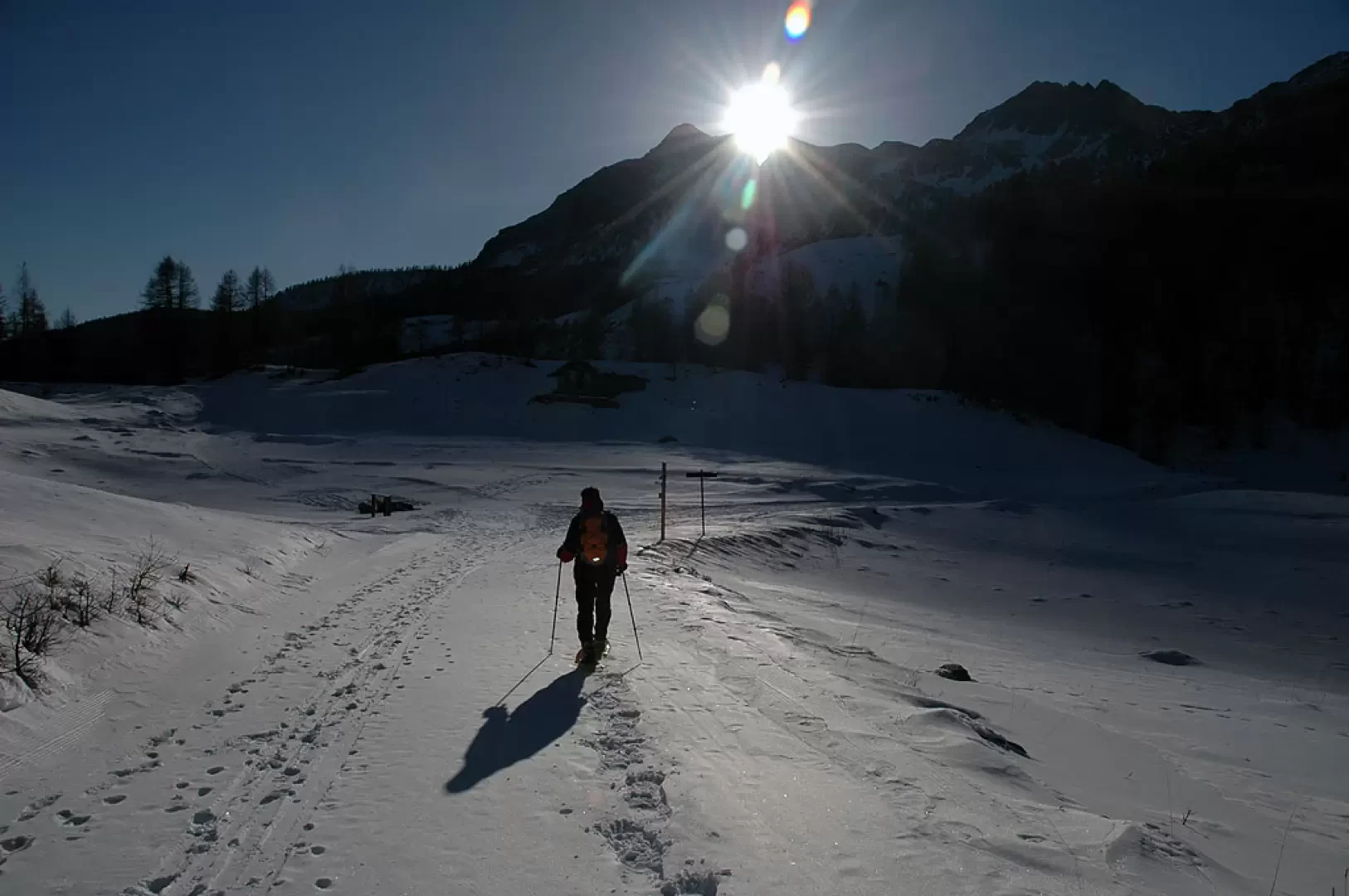
From the car park, head towards the interior of the village: first turn left, then meet a signpost and continue straight ahead along the path that meanders between the typical village houses. Once past the village, turn left and start climbing up the Petit Monde stream valley. Two rascards, now reduced to ruins, are immediately encountered and the trail continues along the wide, tree-lined mule track. After a short uphill stretch, the path flattens out slightly at the level of the ruins of Levaz; continue straight on into a short notch in the valley. The climb now becomes more pronounced, and a steep slope in the larch forest climbs up a small 'drop' to the Chancevella alpine pastures. Shortly before the plateau below the alpine pastures, a section of thick ice is encountered: be careful in this passage. Now proceed along the track of a farm road and pass a small clearing before entering the larch forest again as you skirt the stream. After a few minutes, you will reach a small bridge and, a little further on, turn right and you will come to a marker indicating the path (7) to Gilliarey (1871m, 0h50'). You begin to climb a steep slope, following, more or less in a straight line, the furrow of the summer mule track; you soon gain height and fairly quickly reach a small hollow at the foot of the Crêt alpine pasture. Proceed on the left side of the lowest part of the depression until you reach the ridge again, which you climb up without taking any obligatory path until you reach the little road - cross-country track - that leads to Gilliarey (2104m, 1h40'). When you reach the track, turn right and immediately re-enter the larch forest and start to follow it along a few hairpin bends until you come to a section where the panorama of Valtournenche begins to open up. Continue along the track until you come to a crossroads (2177m, 1h50'): turn right and after a few dozen metres you will catch a glimpse of the Gilliarey Oratory: you are not there yet, continue straight on until you come to a small votive shrine and, shortly afterwards, you will come to the village of Gilliarey (2182m, 1h55') surrounded by a splendid view of the Gran Becca (the Cervino n.d.r.). We leave the track, descending to the right first towards the village and then on to the Gilliarey Oratory (2174m, 2h00'). From the Oratory, there is a beautiful view of the whole of Valtournenche and the watershed mountain range with the Val d'Ayas: from Grand Tournalin to Zerbion. The return trip is made by following the track back to Loditor, crossing the various alpine pastures from Tellinod to Palud. From Loditor, head in a south/south-east direction until you return to the small bridge that we encountered on the ascent: from here, descend again along the outward route to Etirol (1h 30').
The hike can also be undertaken from Champtorné by following the cross-country track to Loditor: there is certainly less of an altitude difference, but the length of the itinerary increases considerably.


Comments (0)
Sign in to leave a comment