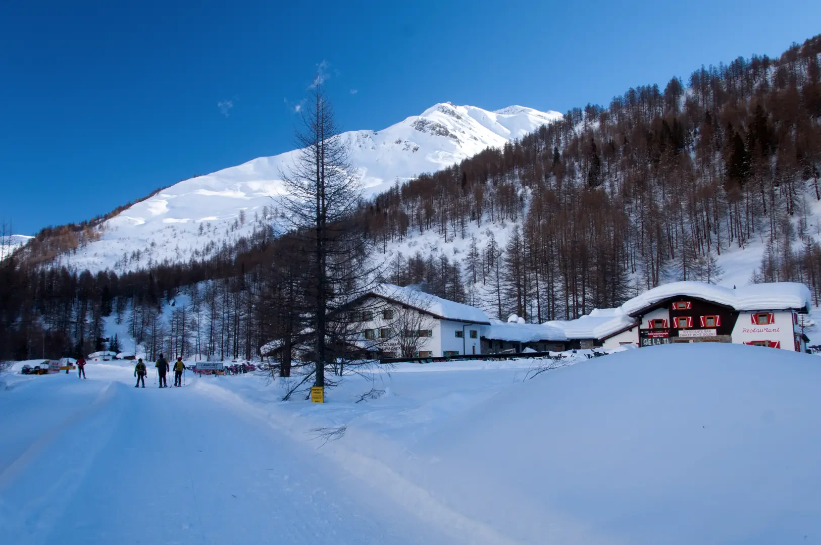
Lavachey, from Planpincieux

Difficulty
WT1
Length
9.00 Km
Departure altitude
1583 m
Arrival height
1642 m
Positive difference in height
690 m
Round trip time
01h10'
Return time
01h50'
Recommended period
Description
0h00' On reaching the village of Planpincieux, head for the start of the Val Ferret cross-country ski runs. Take a footpath that runs alongside the slopes and into the valley. At first, it skirts the Grandes Jorasses campsite and, after a ten-minute walk, comes to a small chapel: from here, the track flattens out slightly and enters the valley, offering superb views of the Tête de Ferret. On a slightly uphill course, the route first passes Pont, Tronchey and Praz Sec d'en bas (1635m).
0h40' Having passed these last hamlets, the route skirts the Doire de Ferret and finally reaches Lavachey (1651m).