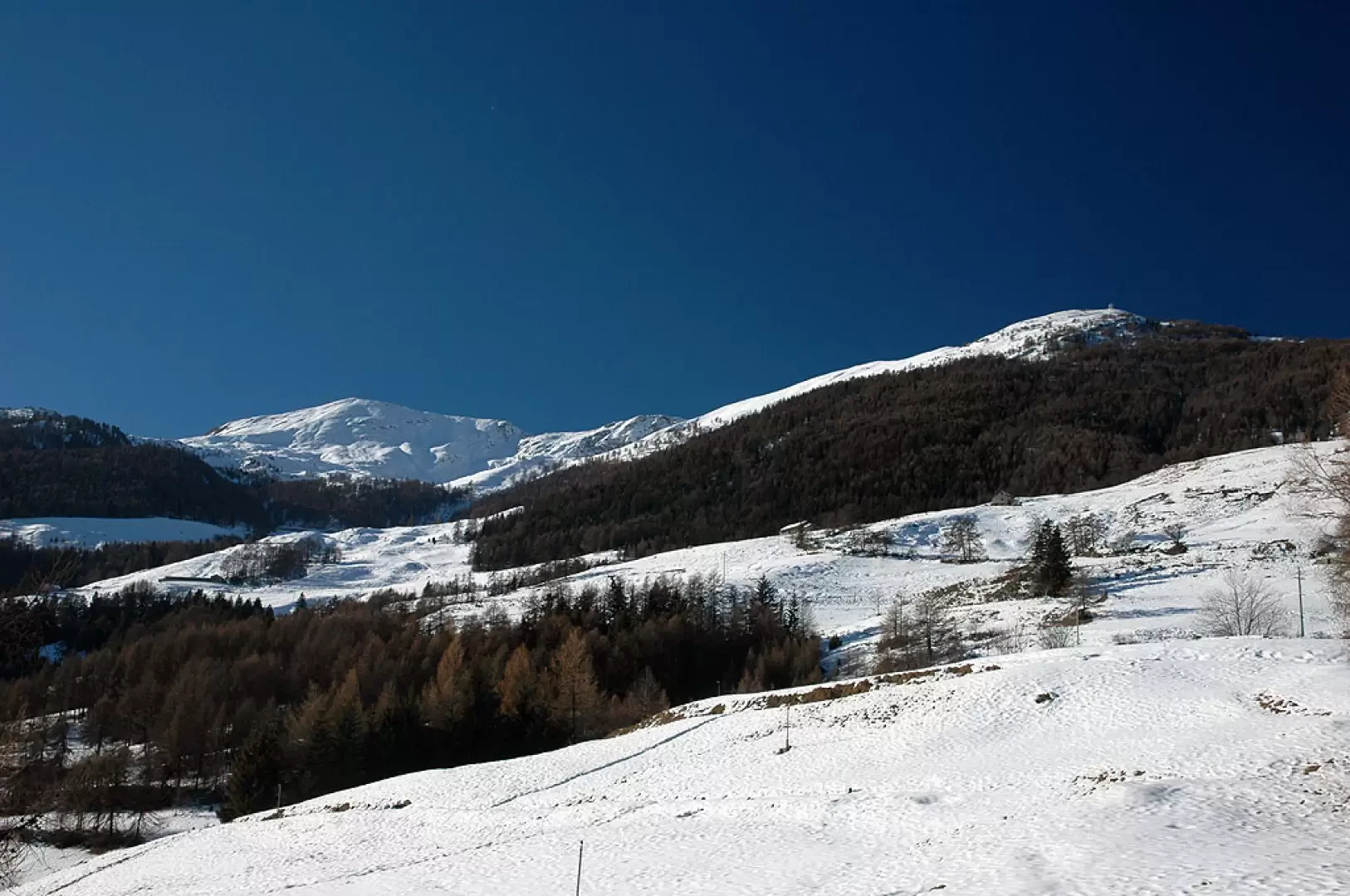
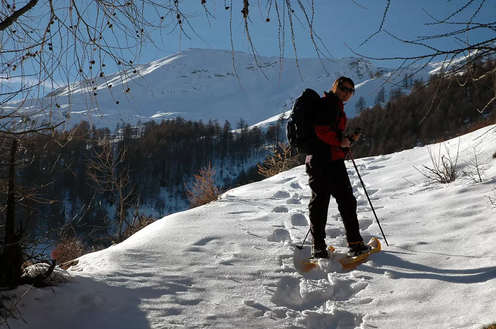
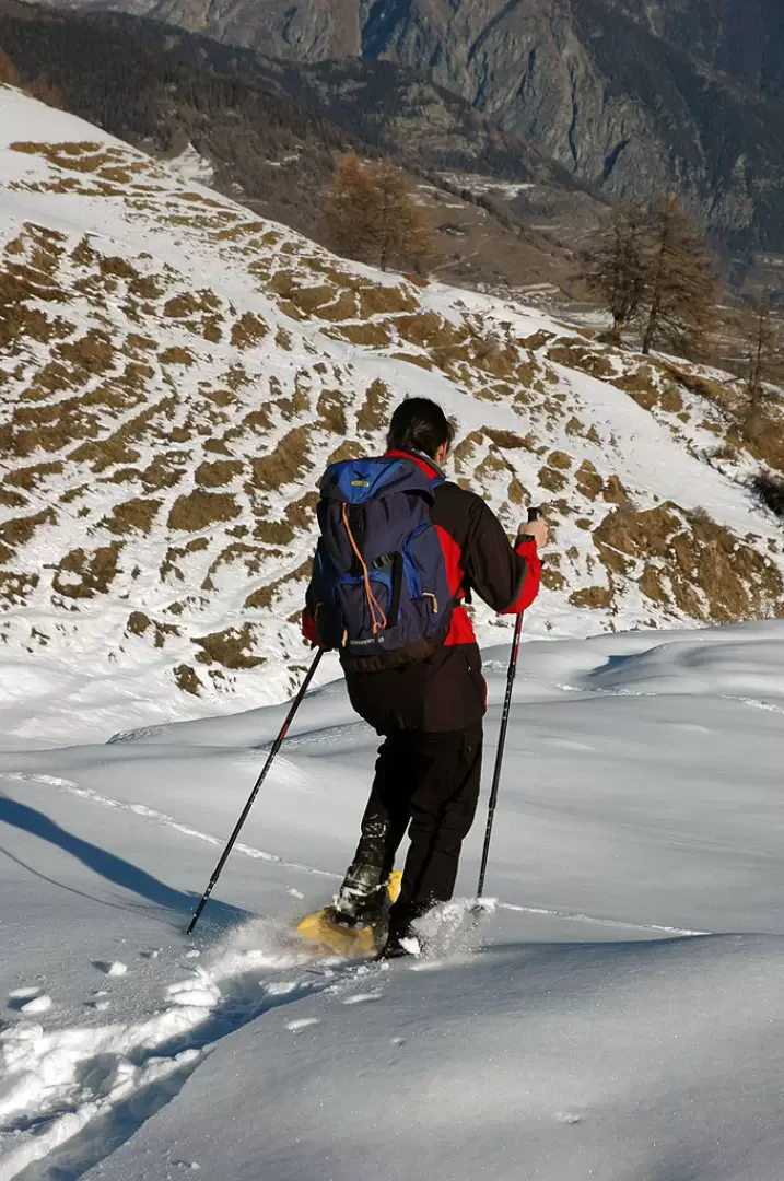
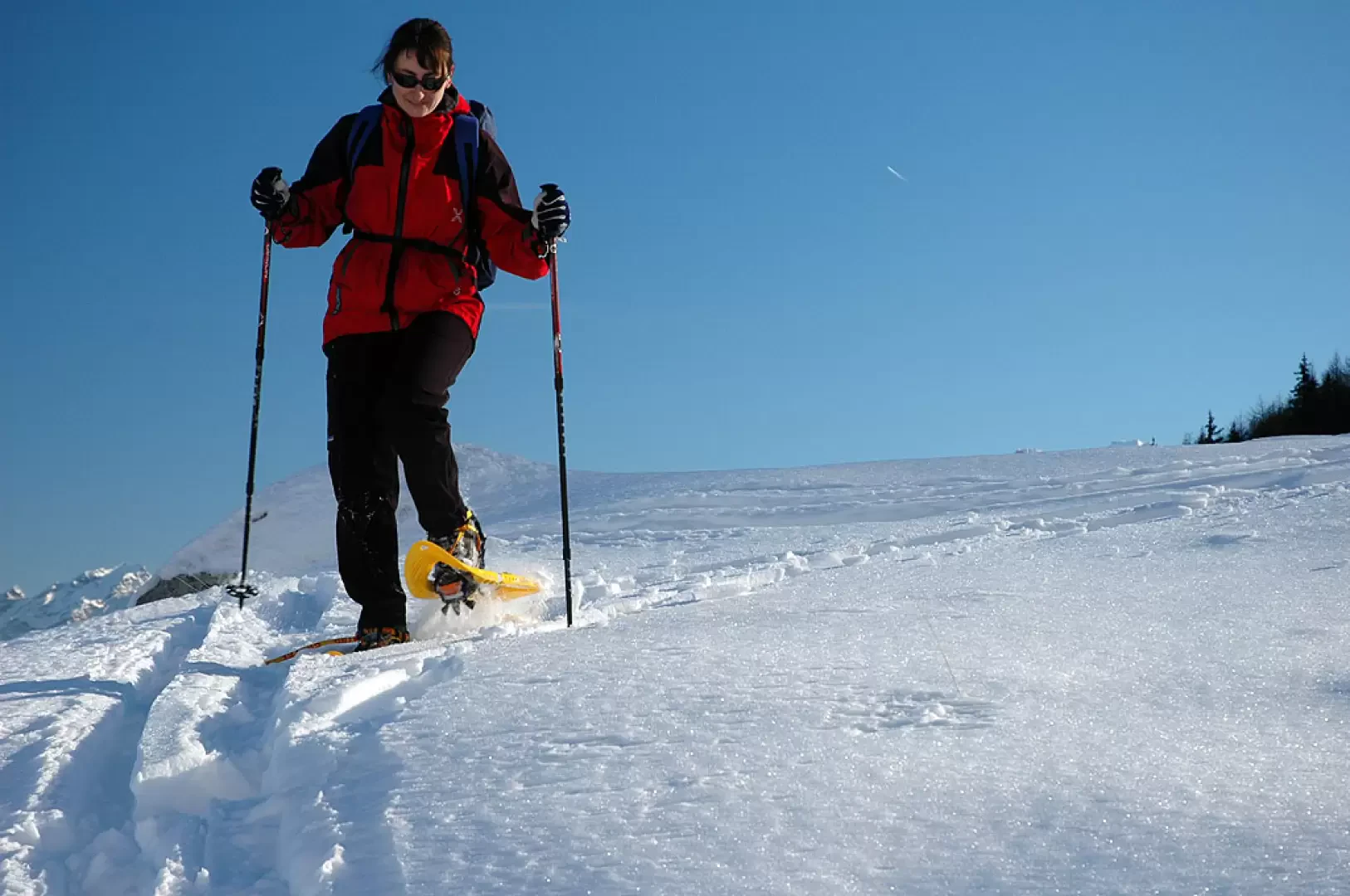
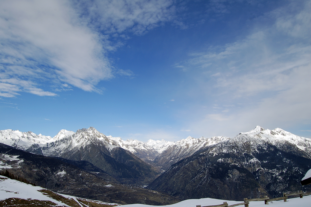
Up the gentle slopes at the foot of the Punta Chaligne you can enjoy the pleasure of unusual panoramic views. This short and easy hike allows even novices to enjoy the approach with snowshoes without any particular problems.
Description
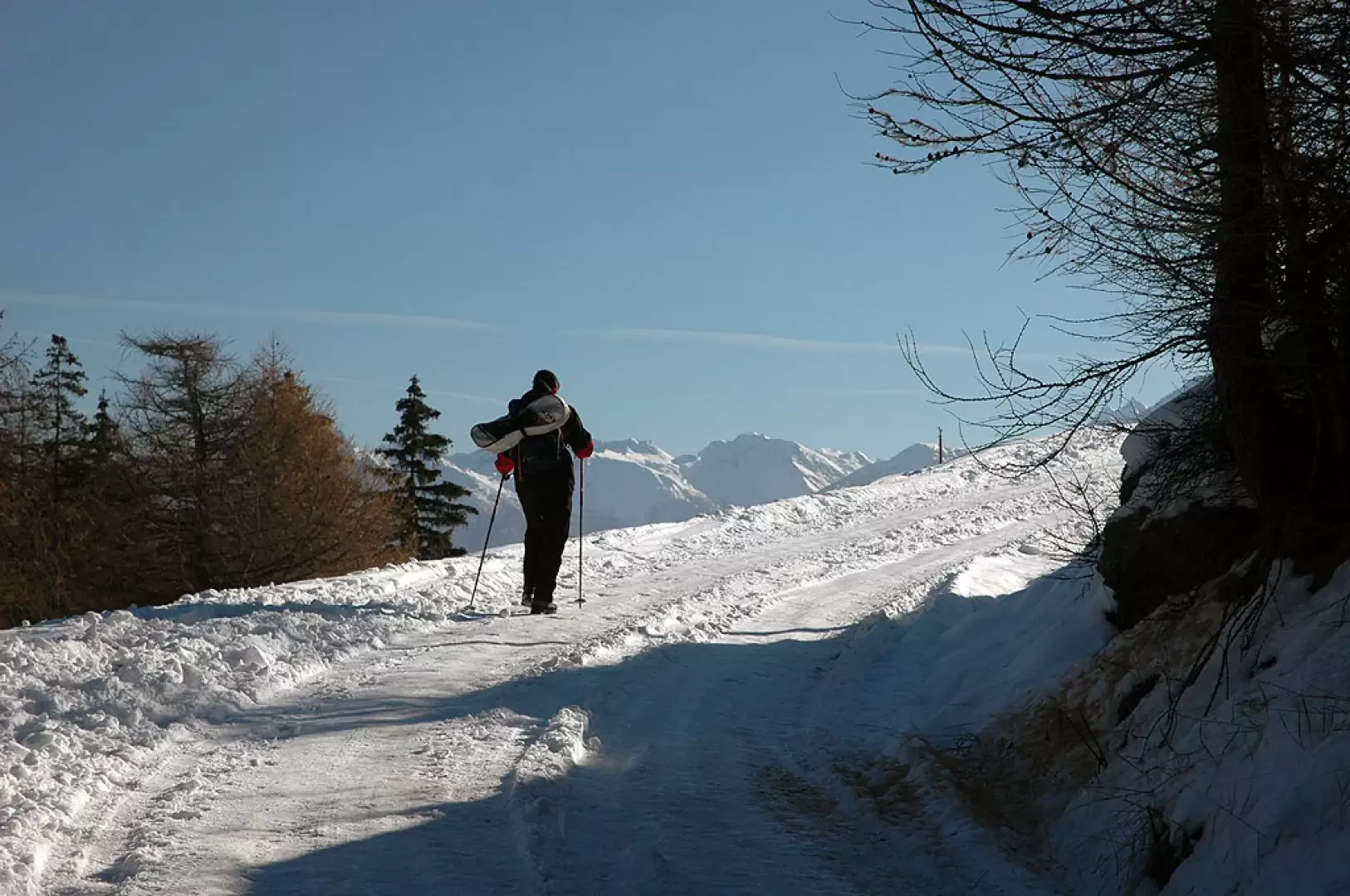
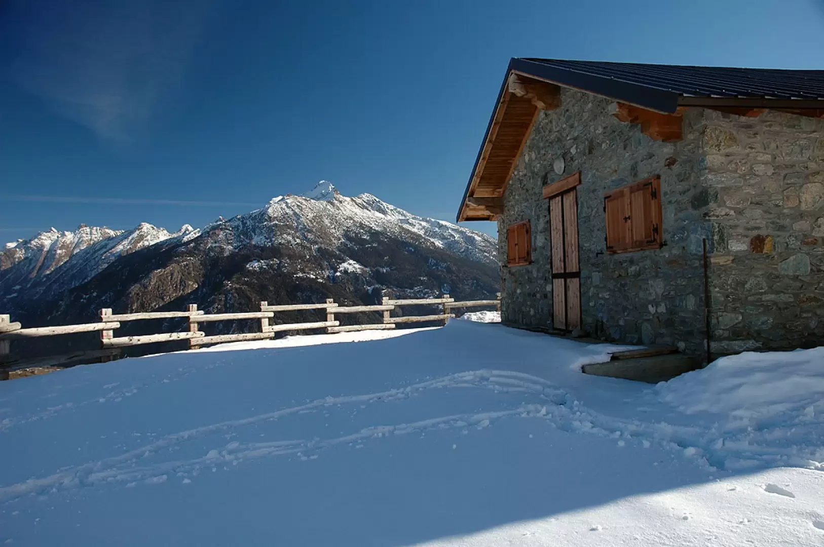
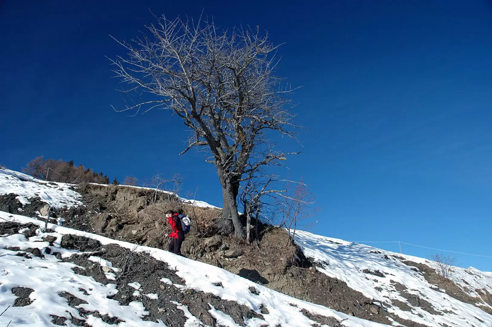
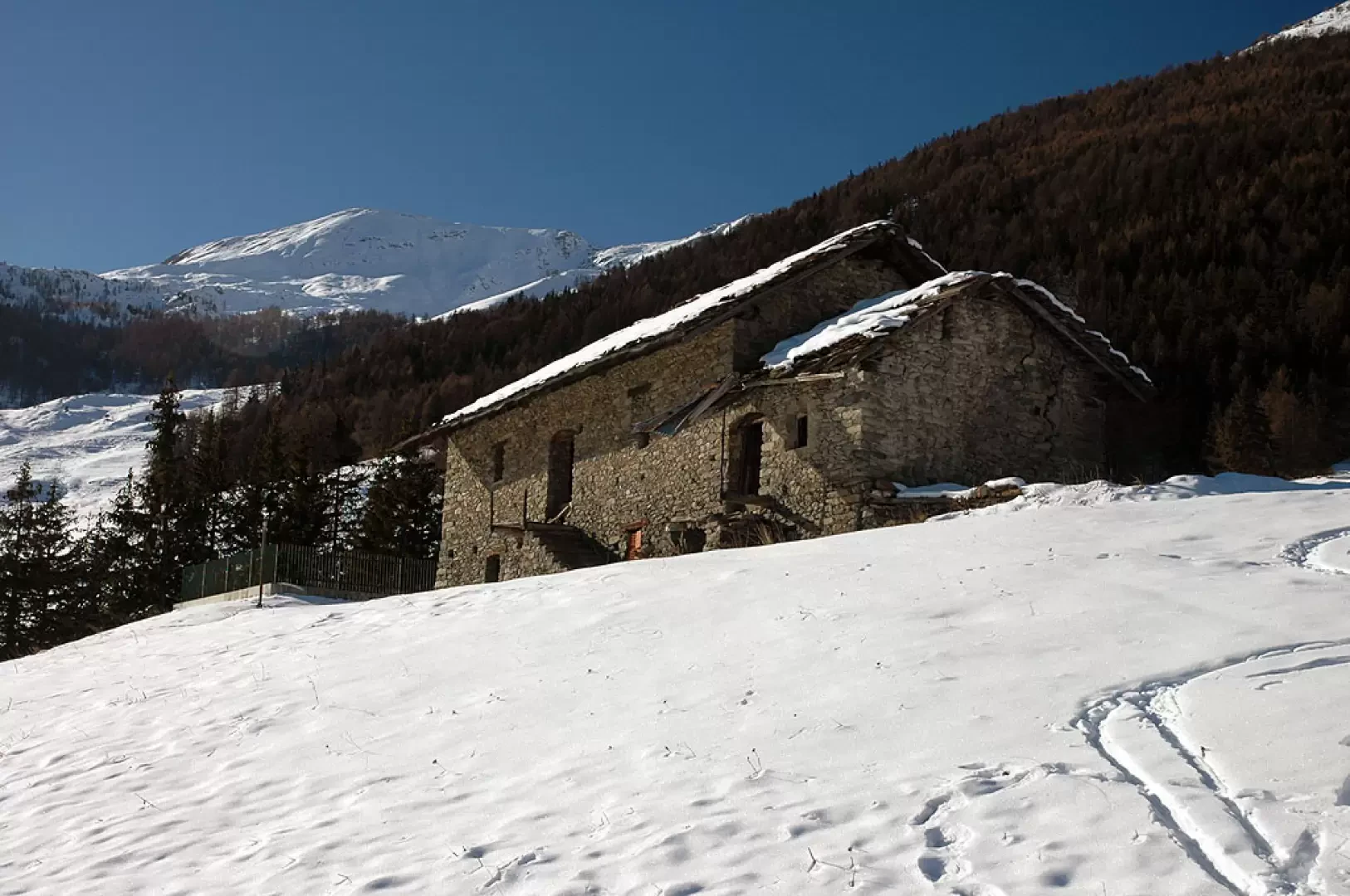
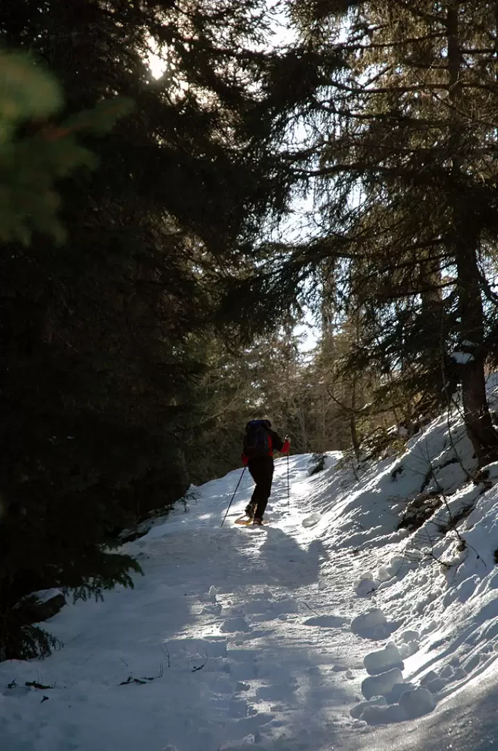
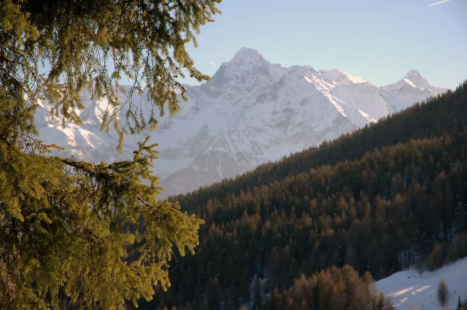
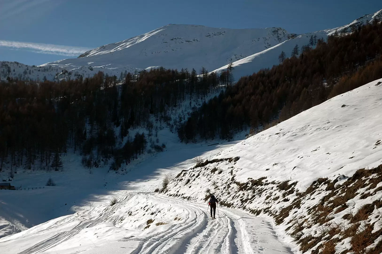
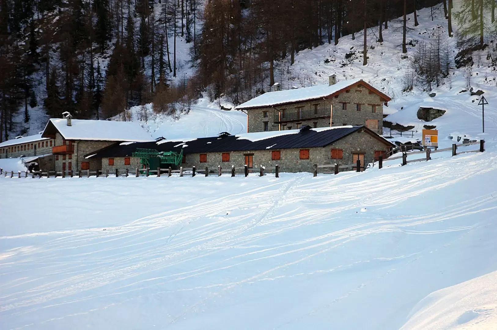
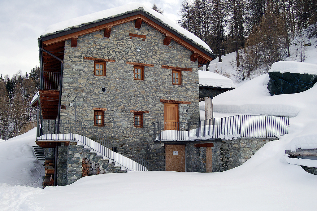
Leaving the car, we continue to the left along the snowy little road which turns right after a few minutes' walk: the view of the Punta Chaligne and its inviting slopes immediately opens up before our eyes. We ascend the slope to a fork: we turn left and follow the signs for the path (3A). Ascending the wide track, you quickly reach the Mendey alpine pasture (1547m, 0h15'), go around it by turning left and continue on the track until you reach a fork: first turn right and then, after about thirty metres, left onto an obvious mule track (1594m, 0h30'). The track climbs the slope, skirting a few scattered larches, until it reaches the track again below the Roncaille mountain pasture (1671m, 0h50'). Take the track that passes above the alpine pasture and leave it after about 150m, heading west, ignoring the track that continues to the left. In a short time, enter the larch and spruce forest, climbing up a small valley keeping to the left until reaching the snow-covered farm track again (1765m, 1h10'). Cross the road for the first time and continue in a southerly direction, crossing it twice more. The climb becomes gentler until it joins the road leading to the alp for the last time: from here the goal becomes visible. A few more minutes and you will finally reach the Rifugio Chaligne (1935m, 1h30'). After an inevitable pause to enjoy the splendid view of the Valpelline, in the distance you can also see the Cervino, you can proceed to the descent by going directly down under the wooden railings that flank the alpine pasture. You follow a straight line descending on the orographic right of the snow-covered Val Buthier stream; at the end of the wide expanse below the alpine pasture, you cross, just before a bottleneck, the stream taking its orographic left until you reach a water collection basin just before the Arolla damon alpine pasture (1796m, 1h55'); from the mountain pasture, turn first right and then left along a not very evident track and then continue in a north-easterly direction, passing near another basin, until you reach the farm road that soon leads to the Rombason mountain pasture (1700m, 2h15'). A few metres later the trail joins the tracks taken on the outward journey, to be followed as far as the starting point (1478m, 2h45').
The itinerary is not particularly rough and is often in open spaces, making it interesting also for night-time rambles.
Riferimenti Bibliografici
Tracce Lievi
- Martini Massimo
- Martini Multimedia Editore, Saint-Vincent, 2007


Comments (0)
Sign in to leave a comment