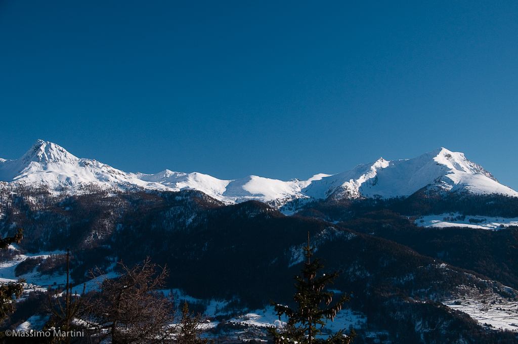
Beautiful loop itinerary that can be walked at the beginning of the season. The difference in height is not excessive and the route runs almost entirely in the woods on the watershed ridge between Torgnon and Verrayes.
Description
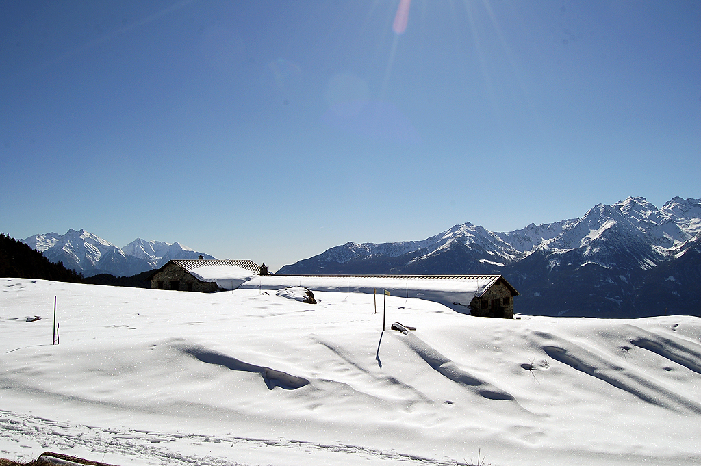
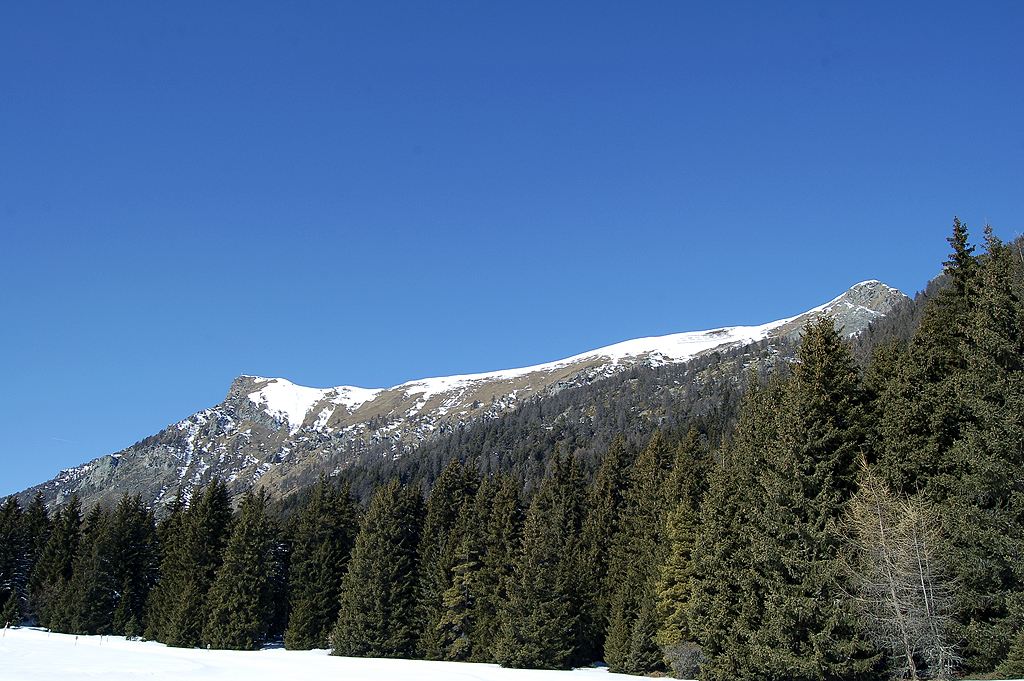
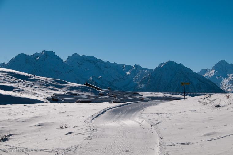
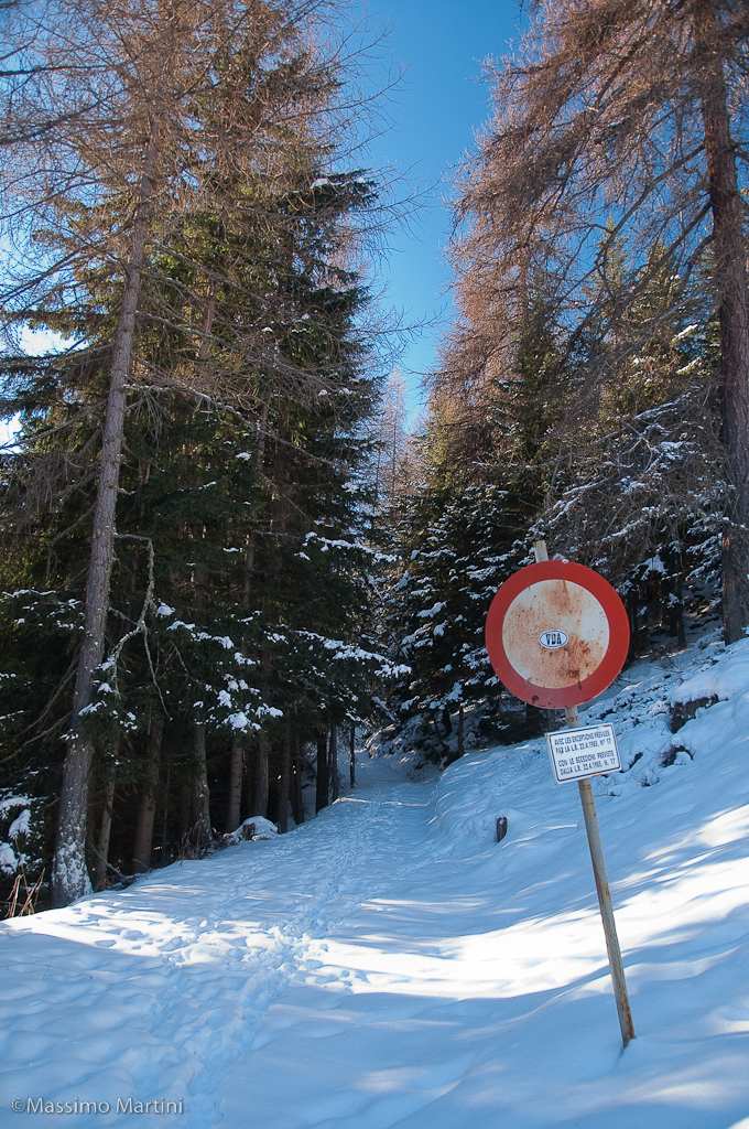
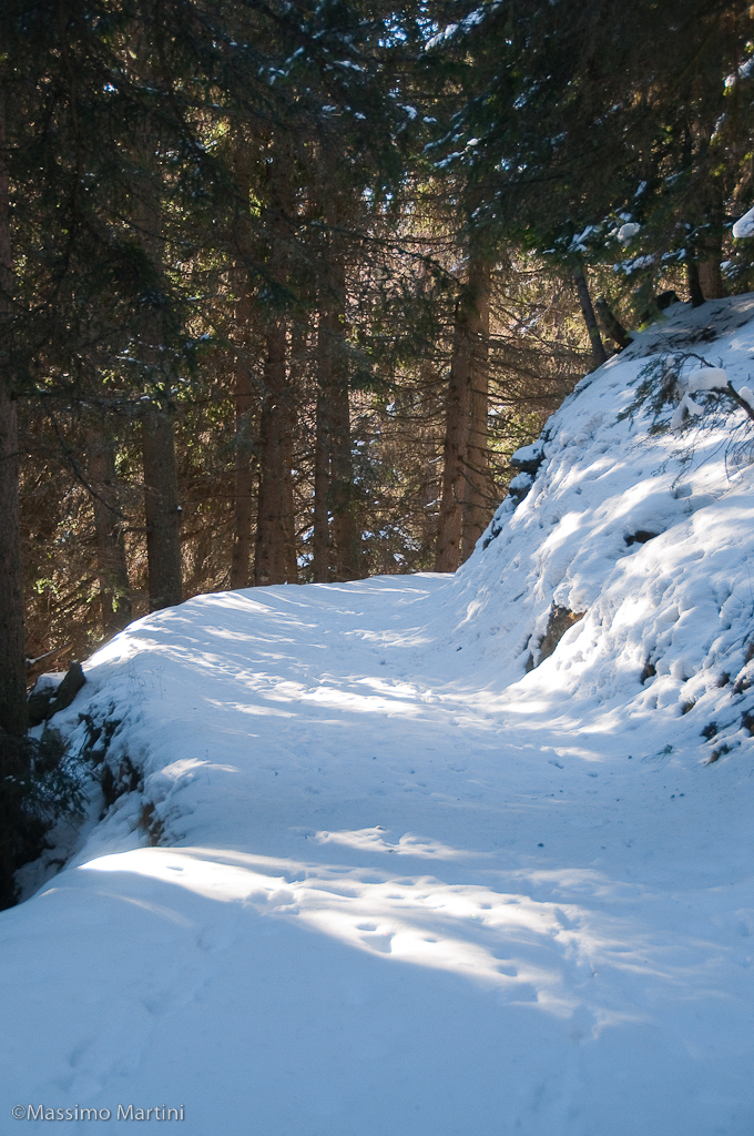
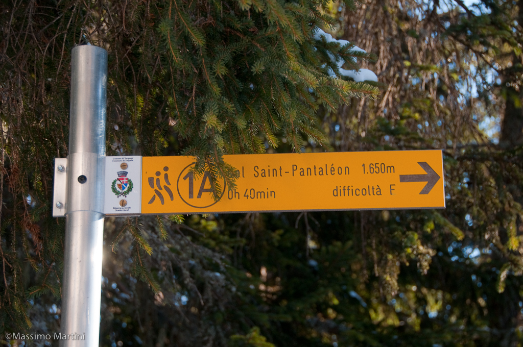
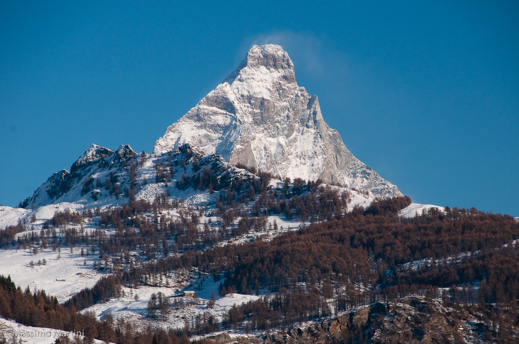
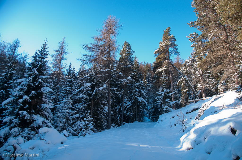
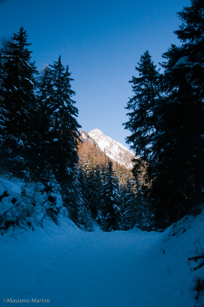
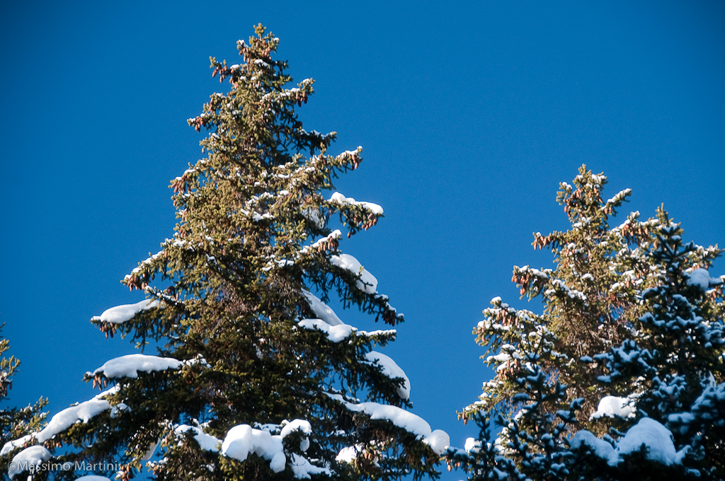
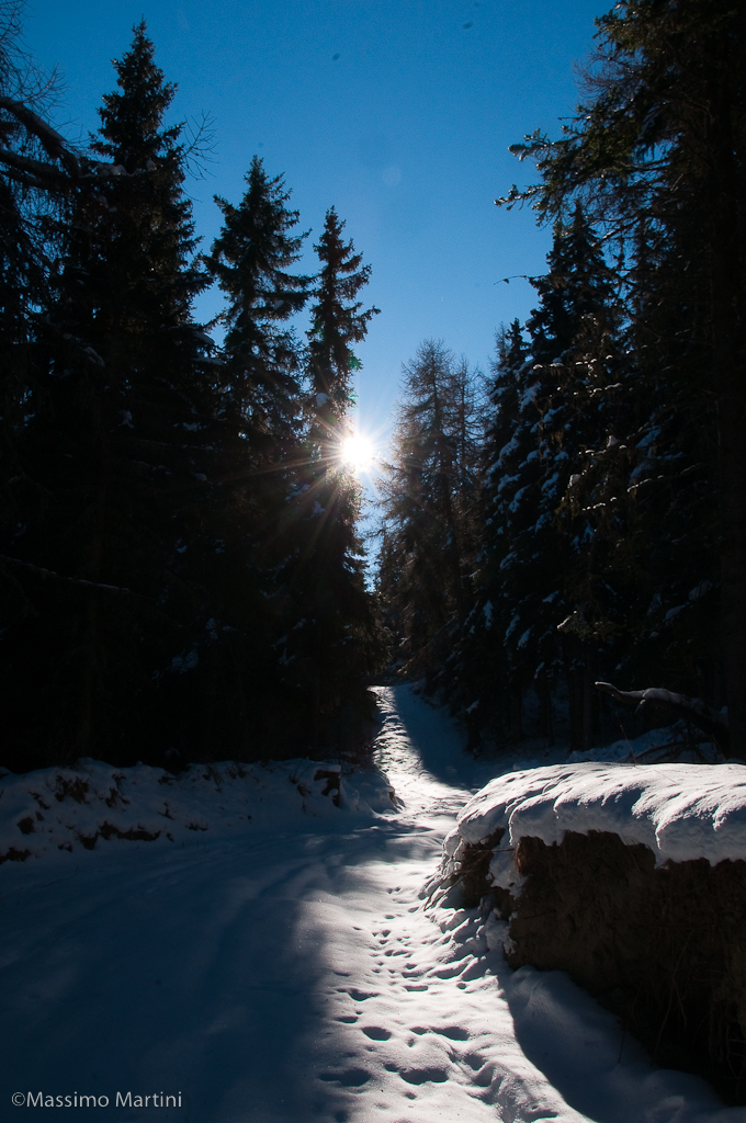
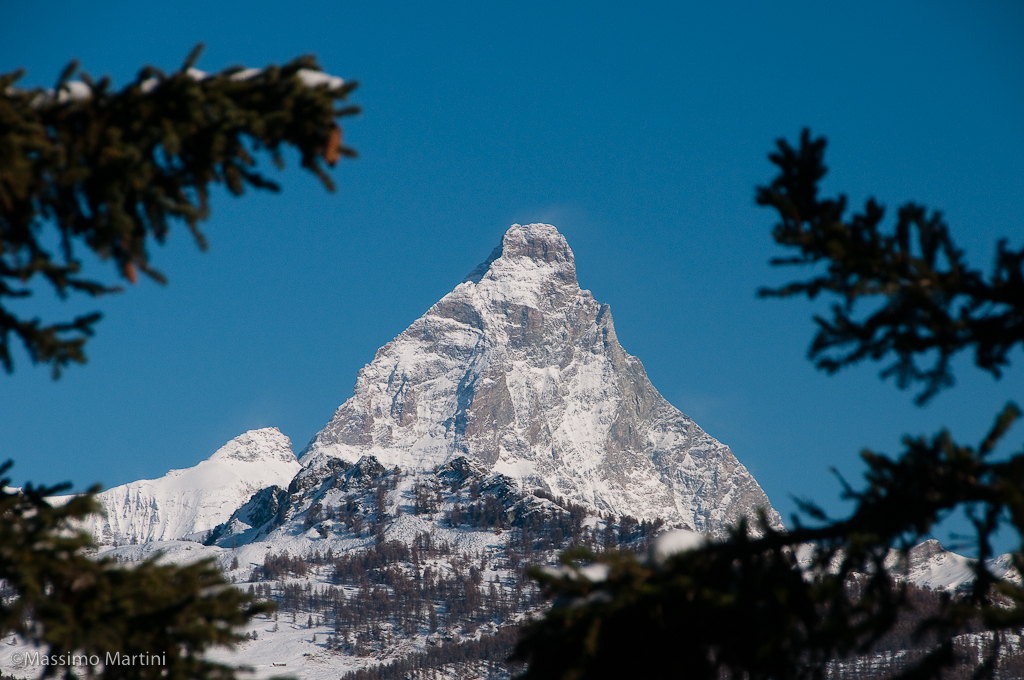
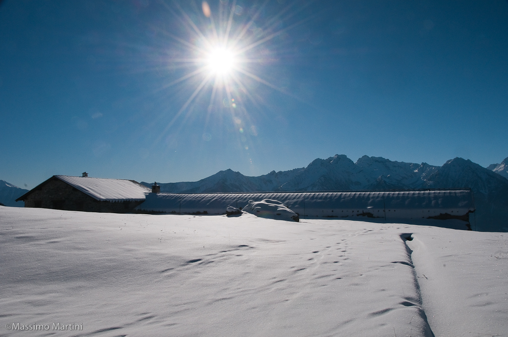
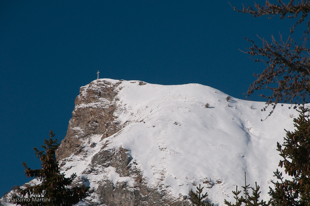
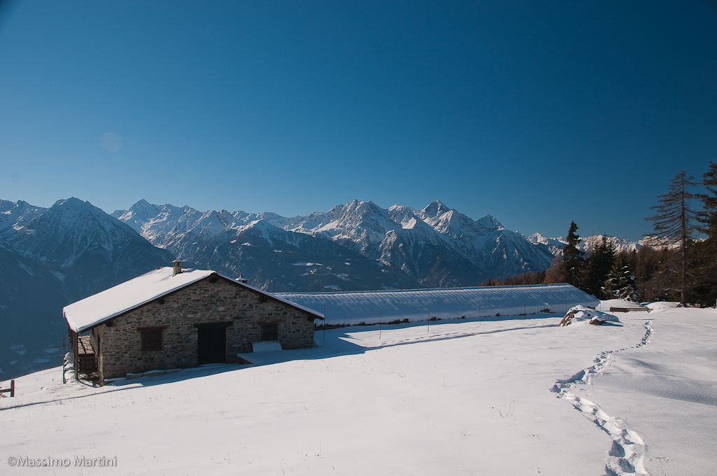
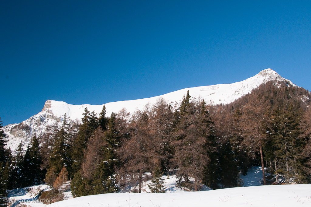
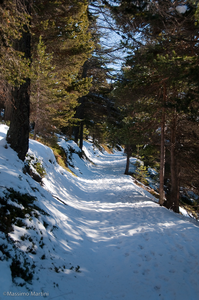
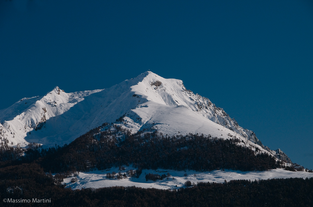
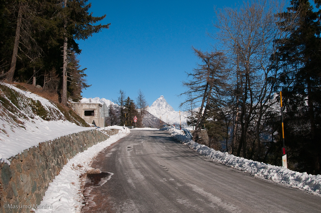
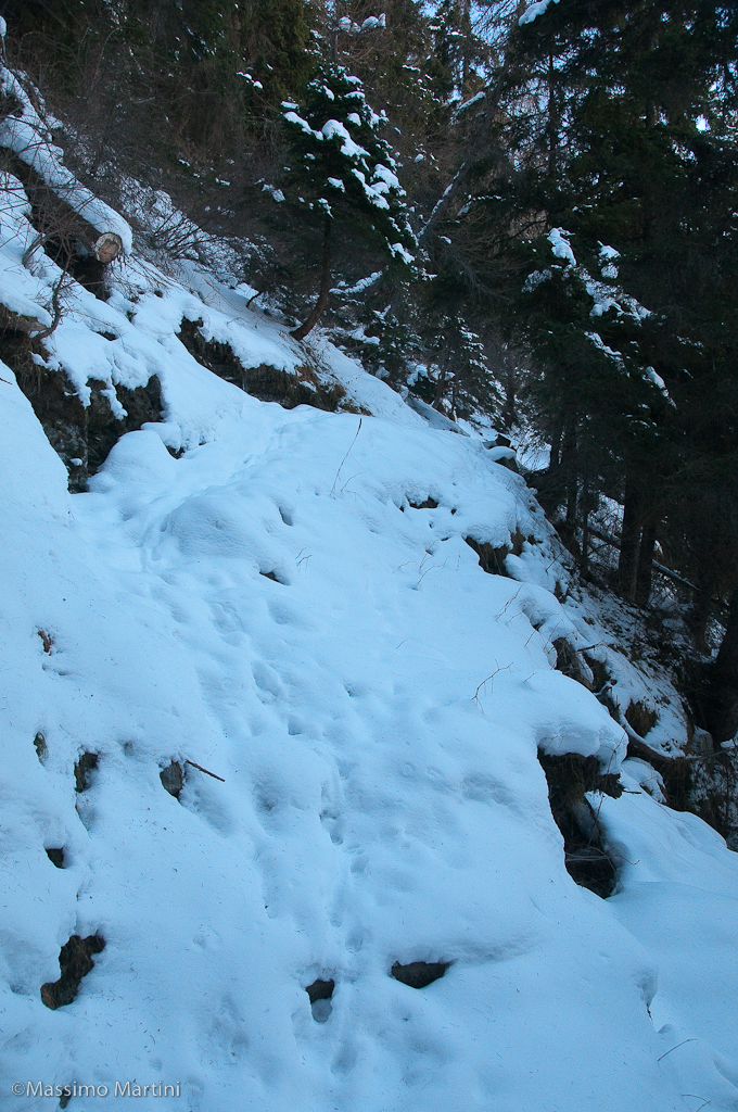
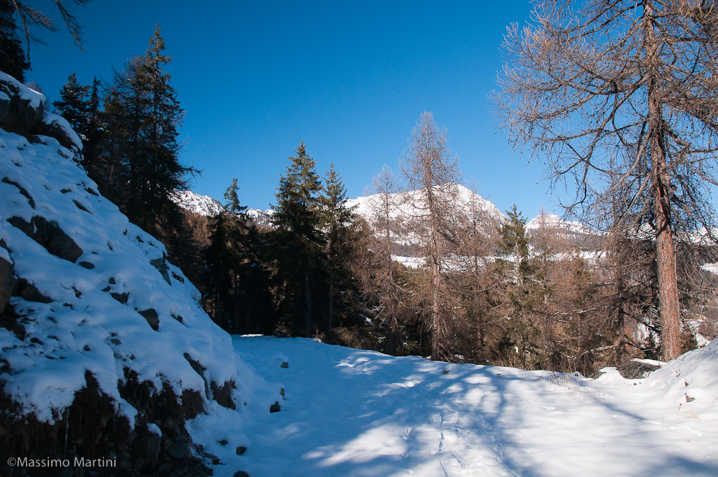
Park your car at the side of the road (without causing traffic problems!) and take the path (4), clearly visible thanks to a signpost. Go up the ridge following the traces of the beautiful mule track that leads to the Saint-Pantaléon pass. The trail winds its way through a beautiful spruce forest, proceeding on a never excessive ascent until it crosses SR44 (0h25', 1,612m). After crossing the road, we continue along the path, to be taken at the Tour de Saint-Evence signposts, which leads us in a few minutes to the charming Saint-Pantaléon chapel (0h35', 1650m). From the chapel, we turn left and follow a track that briefly leads us back onto the regional road. Turn right and follow it (it may be advisable to take off your snowshoes) for about two hundred metres until you turn left onto an uphill track identified by a signpost showing Col des Bornes. Go up the track, practically inverting the gear, and you will soon begin to appreciate some excellent panoramic views of the main peaks of the central valley, starting with the distant Dames de Challand. The track turns slightly to the right and an interesting series of views opens up, particularly towards the pyramidal peak of the Mont Emilius. After encountering a wooden parapet, the track gains height with two wide hairpin bends and offers another beautiful view of the Zerbion and Tantané mountains. The itinerary proceeds pleasantly on the track that crosses the forest on the watershed ridge between Torgnon and Verrayes, giving another beautiful view of the Becca d'Aver and the Cima Longhede, and finally reaches the Col des Bornes plateau (1h30', 1785m). From the pass, the descent towards the starting point begins: first, you reach the alpine pasture to the south of the cross-country ski runs, pass it and, at the height of a wooden cross, start the descent towards the south-east. Follow a cemented gully (not visible when there is heavy snowfall) to a metal sluice gate and then, along a non-obligatory path pointing towards the Lozon pond below, descend the wide meadowland to reach the Laverna alpine pasture (1h45', 1655m). From the alpine pasture, follow the access track to the same, which first leads to a renovated building and then, following a channel again, to a small road bordered by a wall that finally leads to the road to Lozon (1h55', 1505m). When you reach the road (here you can take off your snowshoes) turn left and in a few minutes you will reach Cheresoulaz and the car.
If the track is not groomed, you will need to pay a little attention when finding the route in the first section up to the first junction with the SR44.
Quasi inesistente la neve salendo mentre dal colle sia verso Torgnon che verso la becca d'Aver, la nevicata di giovedì ha
lasciato una quindicina di centimetri di neve fresca sulla pista di fondo ancora non battuta. Poche persone incontrate.
Ciao Ivo
Imboccare l'ampio sentiero che diparte dal tornante e risalirlo per un primo tratto nel bel bosco di abete rosso; il sentiero ripiana e si sviluppa in direzione sud prima di riprendere a salire poco prima di raggiungere una pista innevata. Una palina segnaletica riporta le indicazioni sentiero (1A) per il Col Saint-Pantaléon (1742m, 0h10'): imboccare la pista a sinistra discendendola brevemente prima di iniziare un bel tratto pianeggiante nel bosco che si apre a tratti offrendo splendidi scorci panoramici sulle vette della Valtournenche, dal Cervino al Monte Zerbion. Seguendo la sinuosità del versante si raggiunge rapidamente una nuova palina (1720m, 0h30'): trascurare il sentiero a sinistra, lo si percorrerà al rientro, e procedere ora in salita con leggera virata verso destra. La pista entra in un tratto di bosco più fitto con incantevoli scorci sul versante orientale della Becca d'Aver. Superati un paio di tornanti la pista ripiana per un breve tratto per poi virare a sinistra e riprendere a salire sino a confluire sulla soprastante pista di sci nordico di Maisonnettes (1803m, 1h10'). Innestarsi sulla pista di fondo percorrendola in discesa verso sinistra avendo cura di tenersi al margine per non deteriorare la fresatura. La pista svolta a destra e raggiunge una biforcazione: imboccare la pista in discesa verso sinistra che in breve raggiunge la spianata panoramica del Col des Bornes (1781m, 1h20'). Dopo essersi soffermati a contemplare l'importante panorama sulle vette principali che fanno da corollario alla valle centrale riprendere la marcia imboccando sulla sinistra la pista che conduce al Col de Saint-Pantaléon. Dopo una breve risalita sino al casotto dell'acquedotto, si prosegue diritti entrando nel bosco seguendo la pista pianeggiante. Lentamente si inizia a discendere sino ad incontrare due tornanti che fanno perdere un po' di quota. Con una mezzacosta discendente si raggiunge la strada regionale all'altezza di una nuova palina segnaletica (1666m, 1h30'). Proseguire per un tratto sulla strada regionale, eventualmente togliendosi le racchette se non fosse innevata, passando nei pressi di un parcheggio con punto panoramico e, poco oltre, iniziando a discendere sino a raggiungere la palina segnaletica che anticipa l'inizio del sentiero (1A) (1663m, 1h40'). Imboccare il sentiero sulla sinistra risanendo un breve tratto di bosco prima di affrontare un bel tratto pianeggiante dopo aver svoltato a destra. Il sentiero si restringe e diventa in alcuni passaggi leggermente scomodo (stretto). Con un percorso ondulato si rientra sulla pista percorsa nella fase iniziale della gita: si svolta a destra e si segue a ritroso le proprie tracce sino a ritornare al punto di partenza (1710m, 2h15').


Comments (0)
Sign in to leave a comment