Leave the motorway junction at Châtillon, turn left and continue for about 300m until you come to a roundabout: take the third exit and continue straight on Via E. Chanoux. Go through the centre of Châtillon for about 600m and then turn slightly right onto Via Menabreaz to follow for 450m to the characteristic roundabout with the "Matterhorn" inside. Take the second exit and take the Valtournenche road, following it for about 7.6km to Antey-Saint-André where you turn right onto for La Magdeleine. Climb up the regional road for 4.6km until you reach the junction for Promiod. Follow the little communal road to the right for 1.4km until you come to a large free car park on the left 🅿️ where you can leave your car.
[0h23'] - [14.9km] How to get there with GMaps How to get there with Apple Maps
The information provided here has been verified as of the date of the route survey. Before setting off, it is advisable to ensure that no substantial changes have occurred on the route to the starting point. We therefore recommend the use of the satellite navigation apps provided by Google or Apple for up-to-date and detailed directions.
Introduction
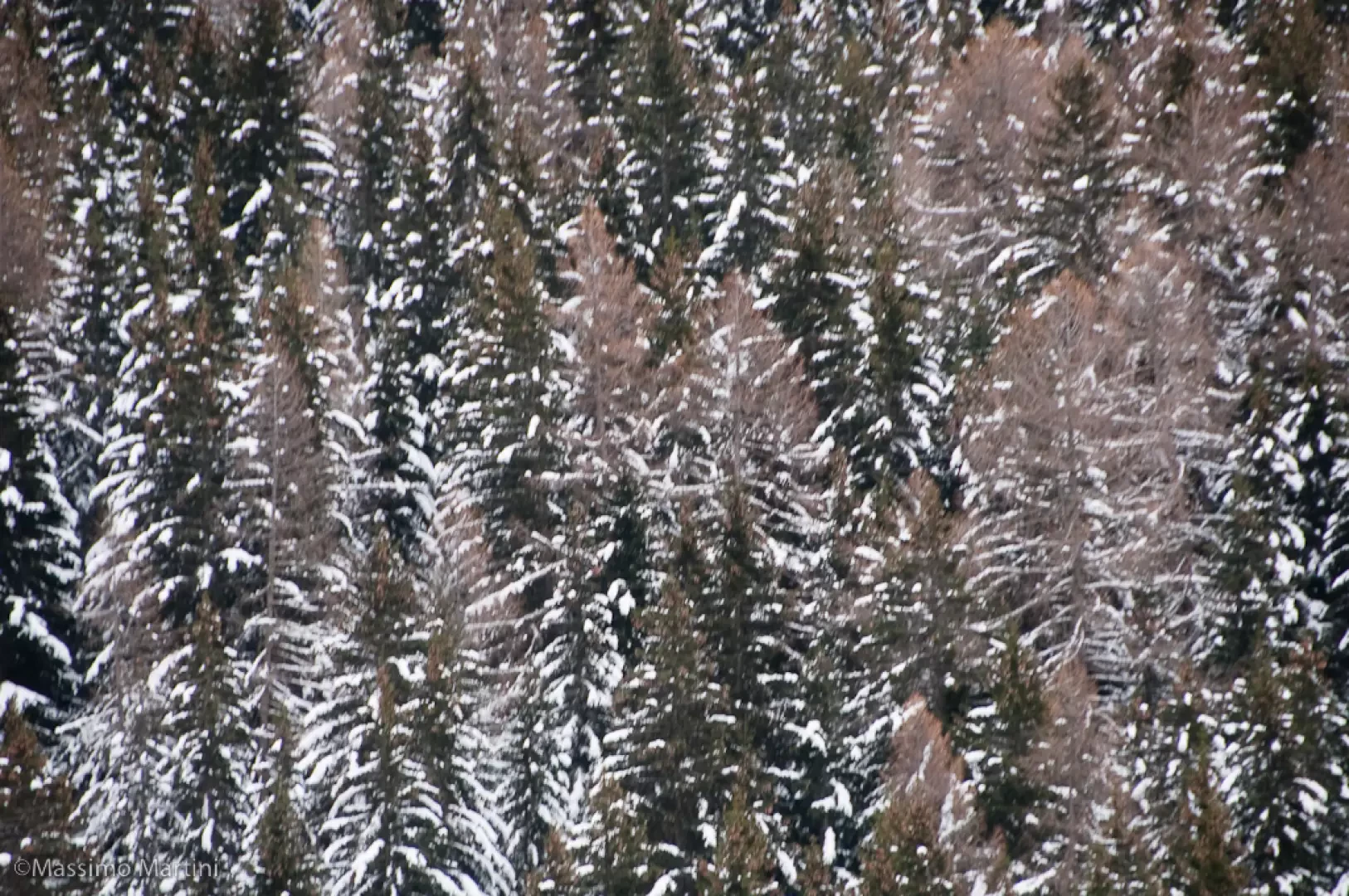
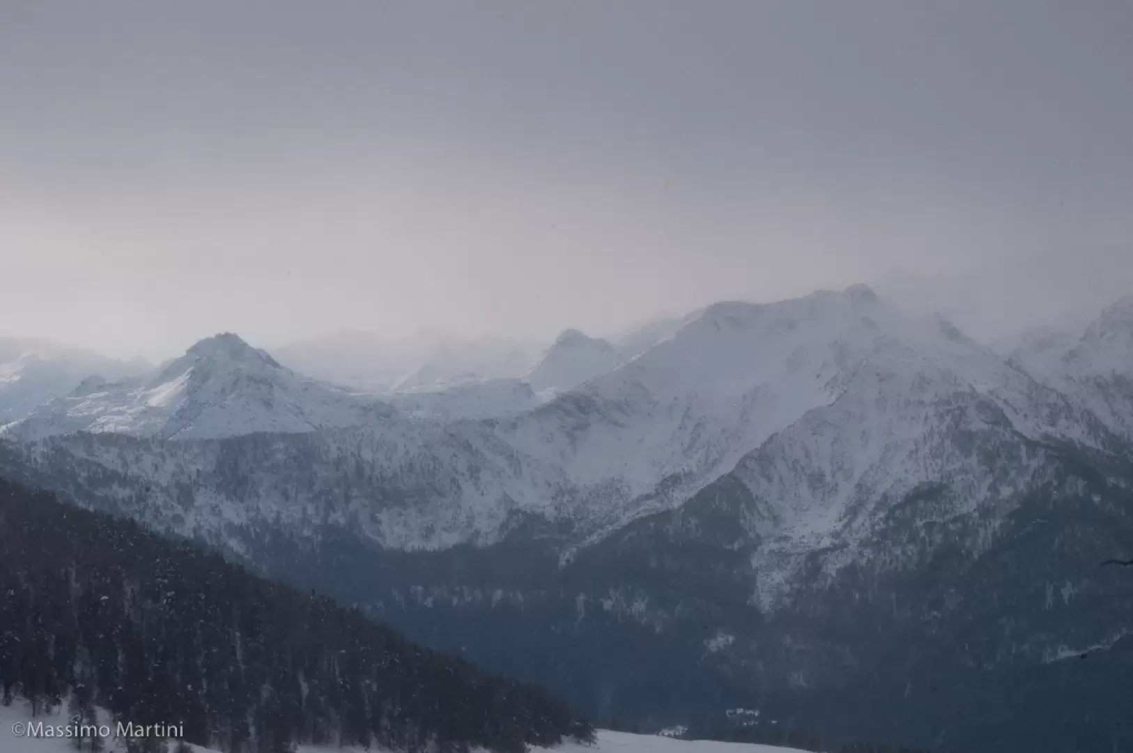
This itinerary has no particular difficulty and runs in the Portola comba in the presence of Mont Tantané and Mont Zerbion. The route runs entirely on a farm track and does not cross particularly exposed slopes, making it suitable for practically the entire winter season, except at times when the avalanche danger rules out any outing.
Please note that it is always strongly recommended to carry an avalanche transceiver (ARTVA), probe and shovel.
Description
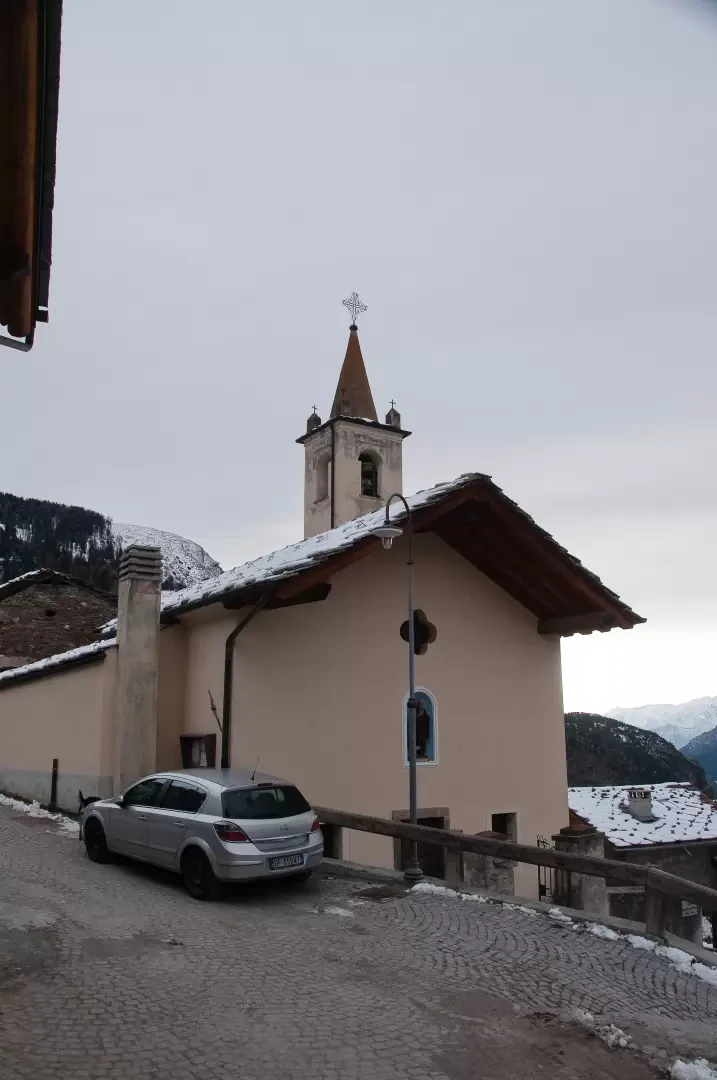
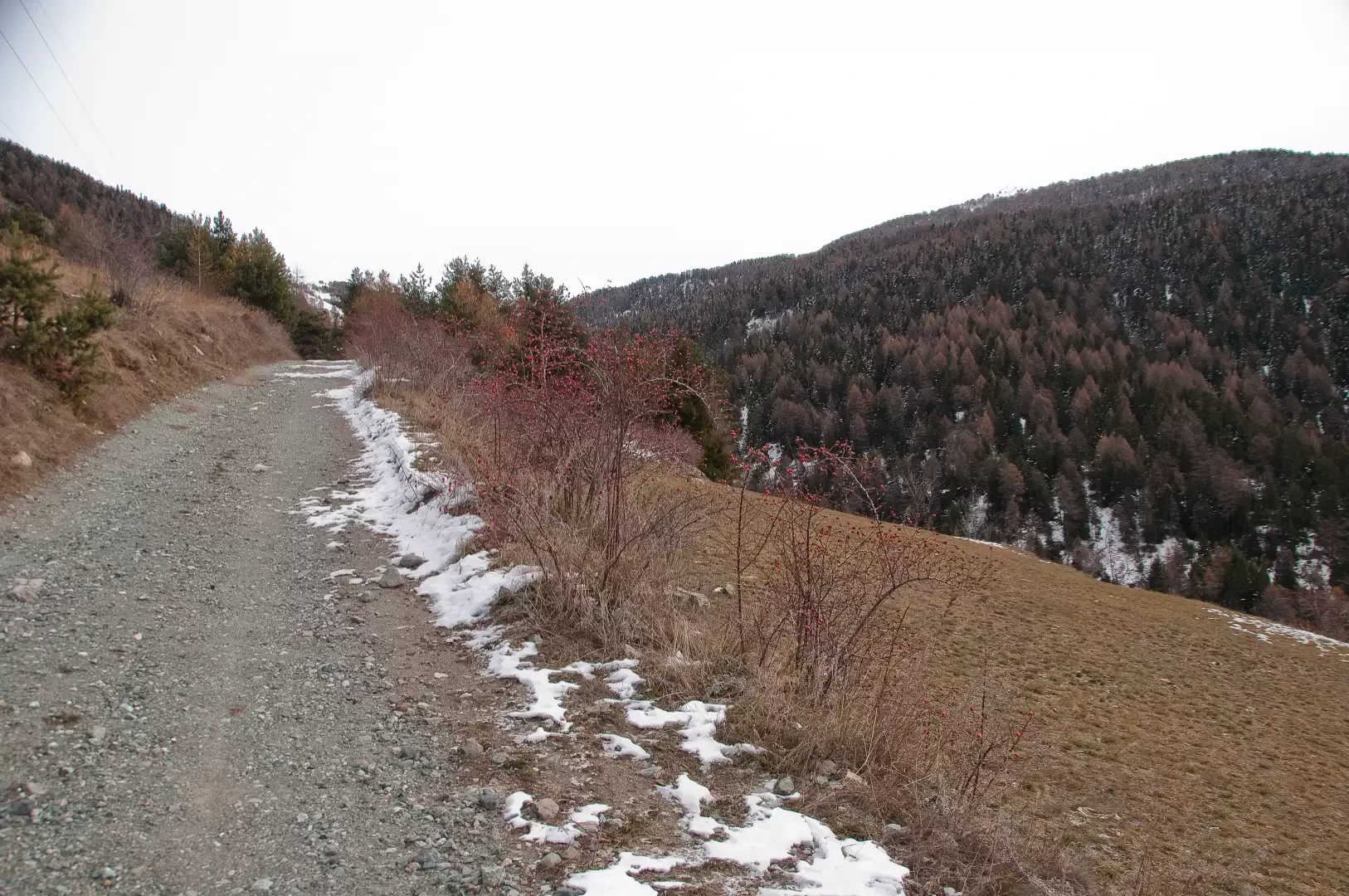
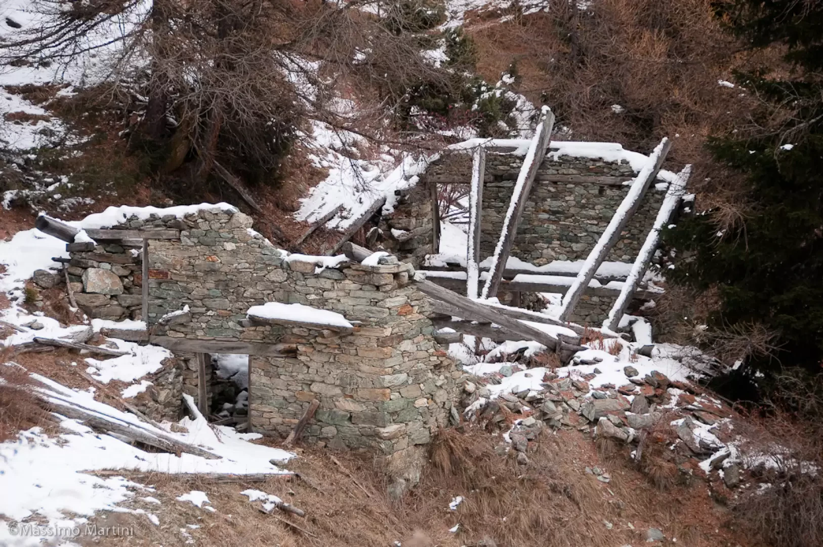
Leave the car behind and continue in the direction of the village, taking the main road until you reach the pretty little church of St. Anthony, near which there is a fountain 💧. A little further on you will come to a crossroads with road markings: turn left onto a lane leading out of the village. A short mule track leads to the farm track: turn right and start walking along it. Follow the track which, after an initial flat section, begins to gain height with a series of hairpin bends until reaching a wooden cross: from here the track proceeds straight ahead, with a constant gradient, in the direction of Col Portola (visible in the background). The progression on the track is without difficulty, even in the presence of copious snow, until reaching the ruins of Boettes (1722m, 0h30').
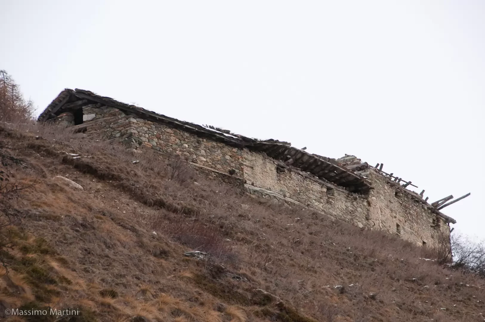
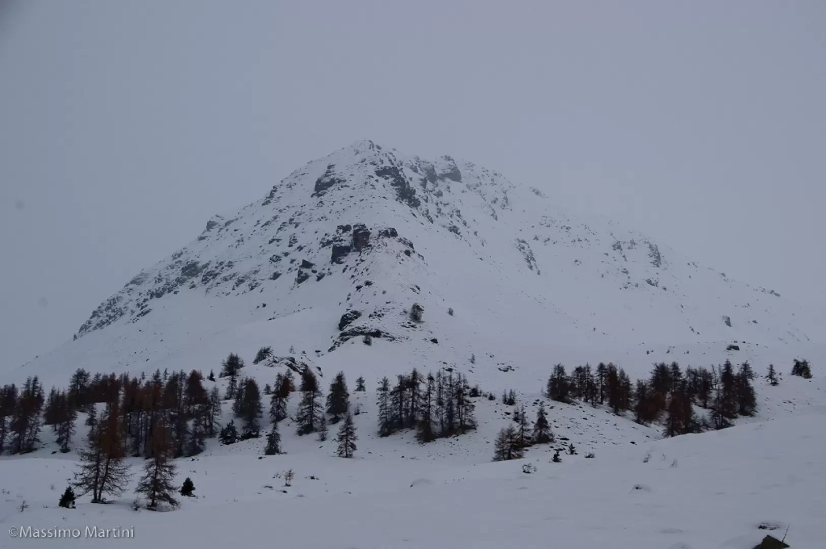
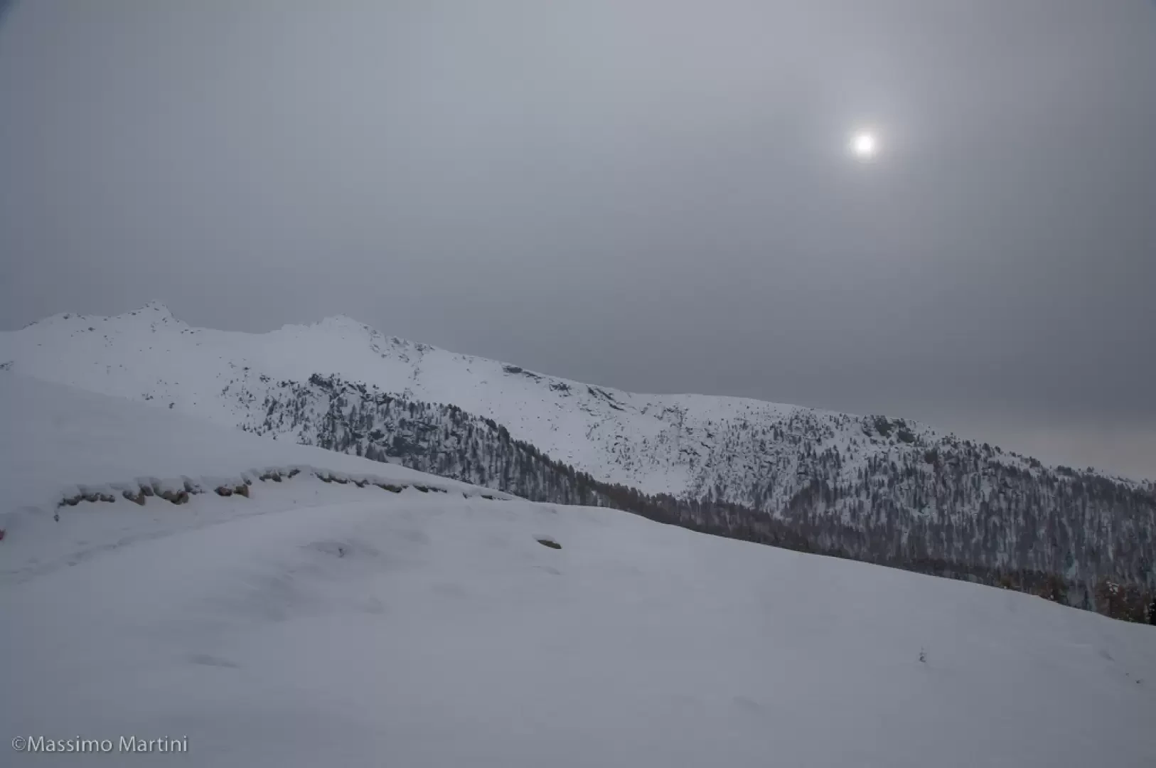
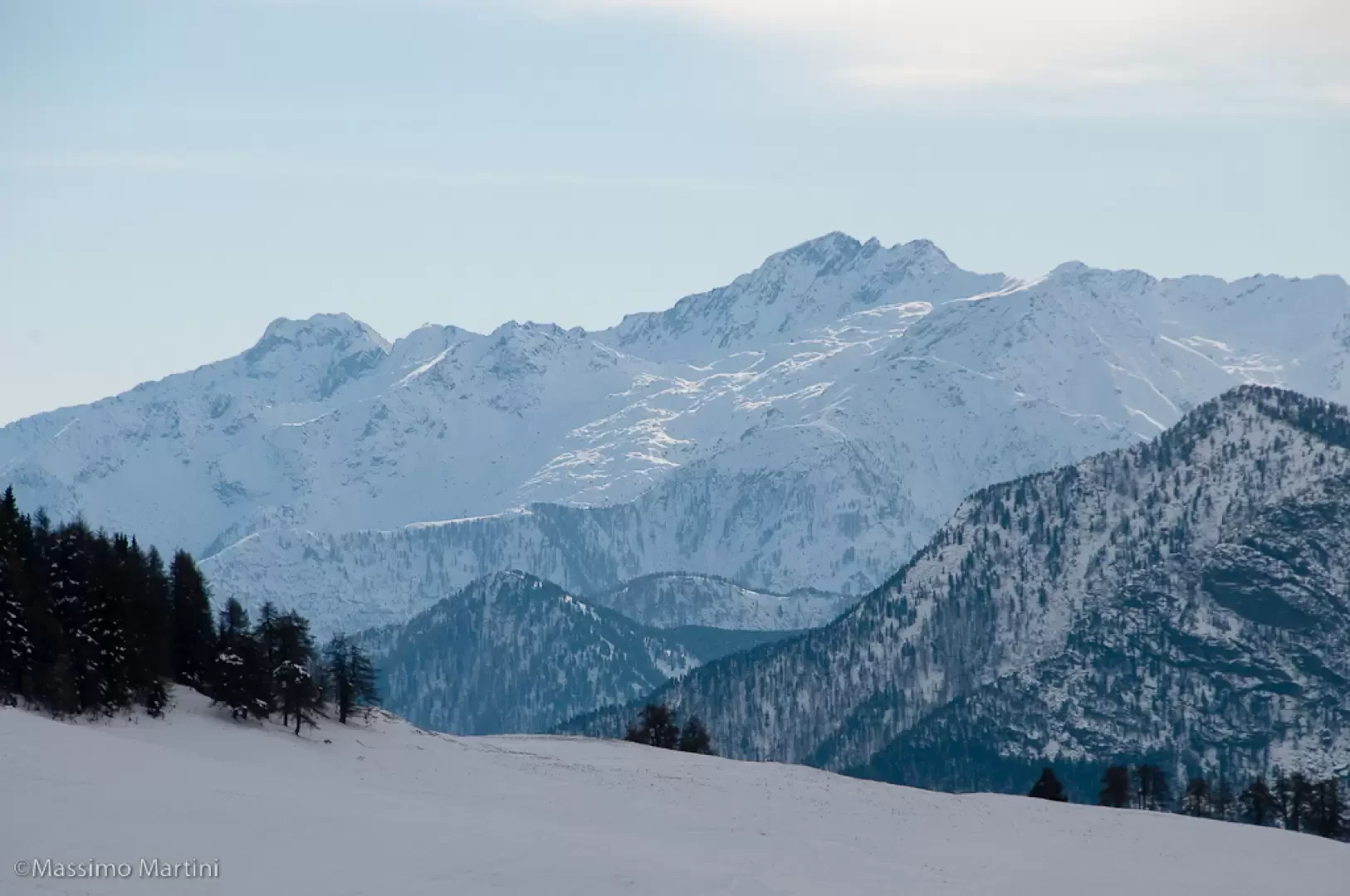
Still on the track, you will come to a fork with a signpost (1743m, 0h35'): keep to the main track that turns left, ignoring the one that goes straight on and leads to Francou. A few hairpin bends and a fairly steep section allow you to gain further height until you reach the foot of the Supplin pastures. Still following the track, you reach a hairpin bend to the left and a fork: turn right again, ignoring the track that branches off to the left to the Brenvey mountain pasture. You cross a number of larch and fir woods, passing near the ruins of Renard; a little further on, the track turns left and soon reaches the pasture with beautiful views of Mont Tantané, Col Portola and Mont Zerbion. After a turn to the right, we follow the last part of the ascent until we come to a new fork (2169m, 1h45'): turn left and follow the snow-covered track that leads slightly downhill into an impluvium.
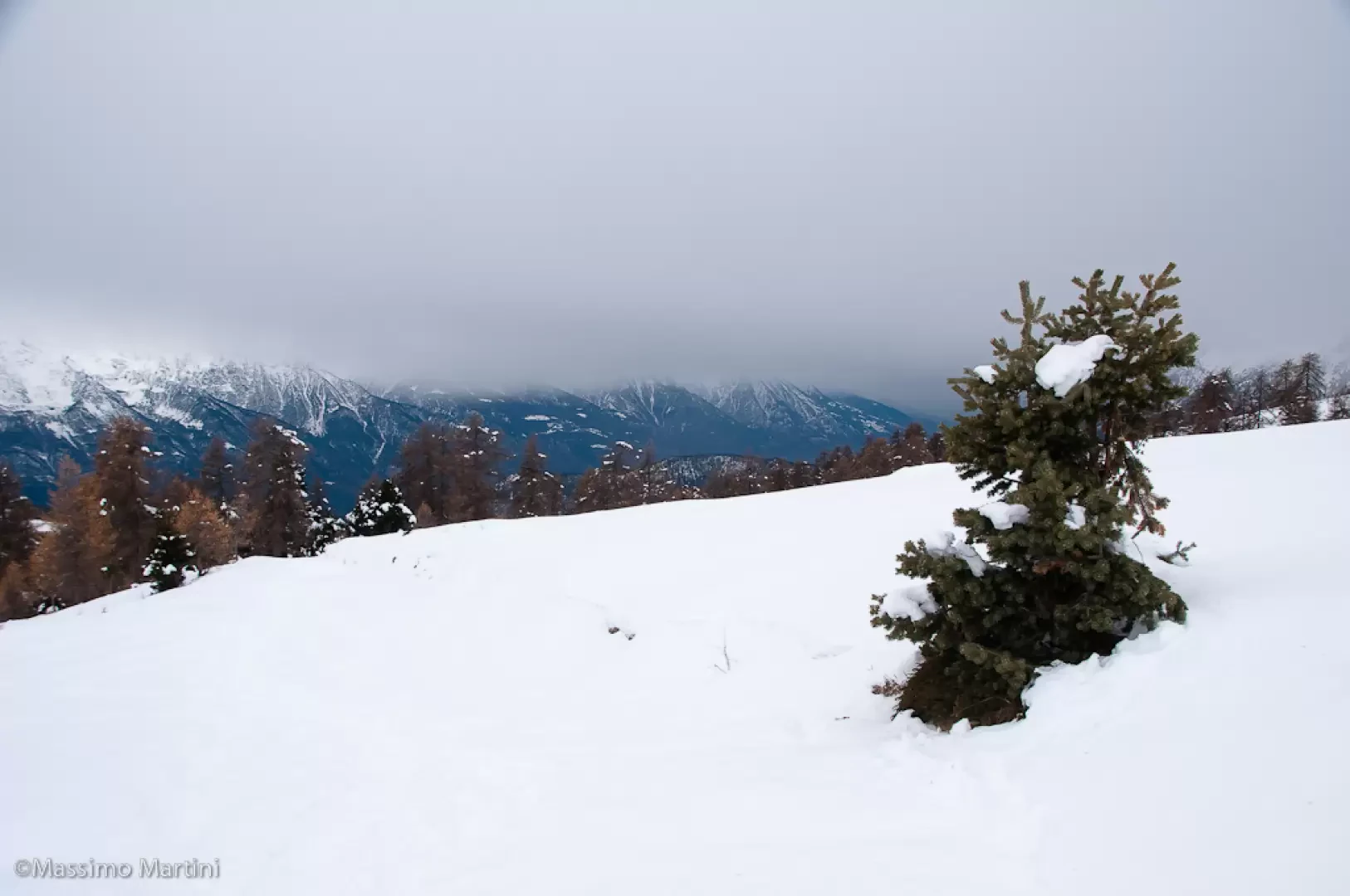
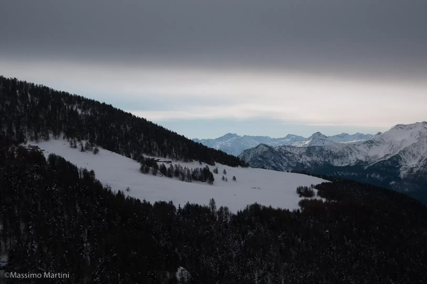
Turn left and continue the descent until you see the alpine pasture: continue briefly in a westerly direction until reaching Champ Cellier dessus (2147m, 2h00'), an alpine pasture consisting of three buildings that is normally loaded in summer. The panorama is interesting, ranging from the Mont Zerbion to the main peaks on the orographic right of the central valley. The descent follows the same route as on the outward journey (1h30').
La giornata non era delle migliori... ma ci siamo lanciati in Valtournenche a caccia di una fetta di cielo azzurro.
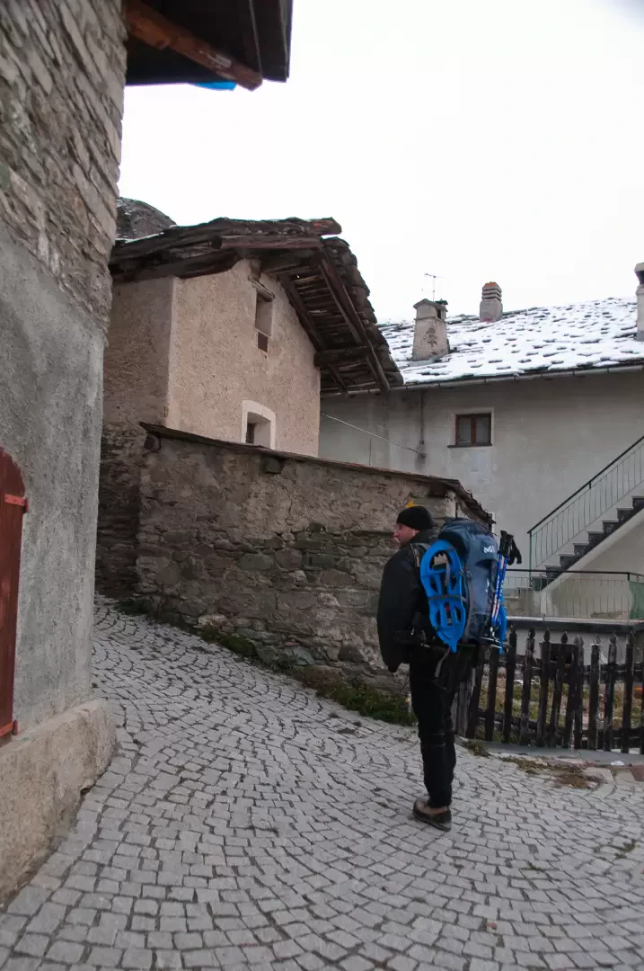
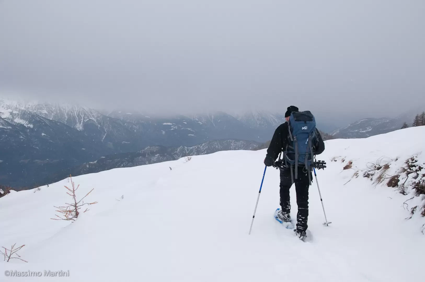
Partiti alle 9 risaliamo il primo tratto ciaspole in zaino per poi calzarle a 1900m circa. L'ultimo tratto prima dell'alpeggio era perfettamente innevato ed è molto interessante... da rifare con il bel tempo.
Dopo una bella pausa all'alpeggio sempre in compagnia di un cane che ci ha accompagnato da Promiod decidiamo di fare una discesa wild: scendiamo a Chancellier dessous, poi a Praz Carral per poi infilarci nel bosco verticale sino a raggiungere nuovamente la pista nei pressi del bivio di Francou.


Comments (0)
Sign in to leave a comment