Truc Chaveran, from Bourg de Donnas
Access
Leaving the motorway at Pont-Saint-Martin, turn left onto the in the direction of Aosta. When you reach a roundabout, turn left and follow the long straight road to Donnas until you meet the signs for Outrefer: turn left, passing under the railway and over the Dora Baltea until you reach a roundabout. A little further on you will find a car park on the left. This is where the proposed itinerary starts.
Introduction
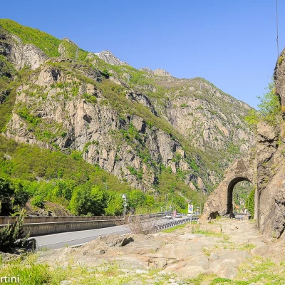
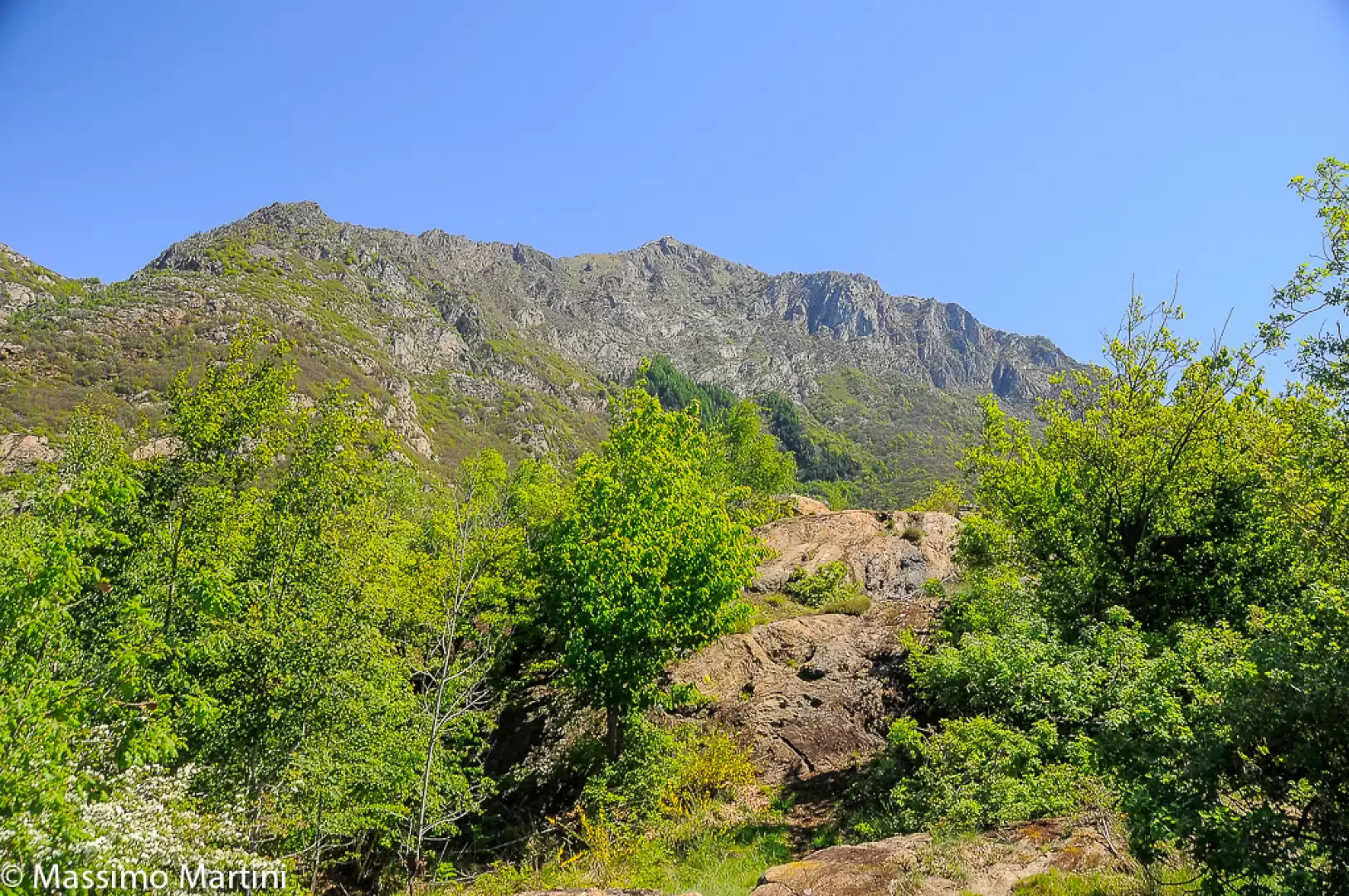
Beautiful hike on the heights between Donnas and Bard. The route winds its way over the rocky knolls falling sheer to the narrows of Bard. A short diversions to Peredrette is not to be missed.
Description
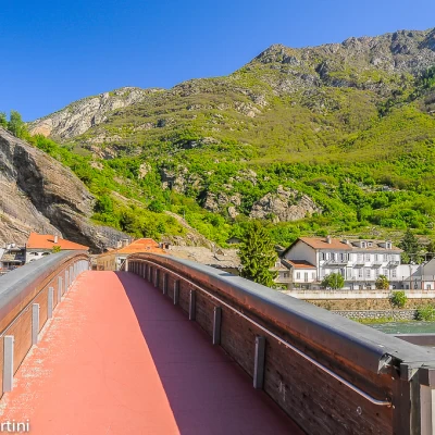
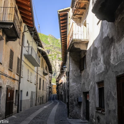
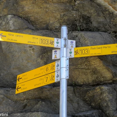
0h00' Leaving the car you reach a roundabout and, a little further on, take the pedestrian bridge that crosses the Dora Baltea. Once over the river, cross the railway line and the and then enter the village of Donnas. Reach Via Principe Tommaso and turn left, briefly climbing the village's main street. Go past the small church of Sant'Orso and, in view of the Roman arch, turn right following the signs for Albard shown on the signposts.
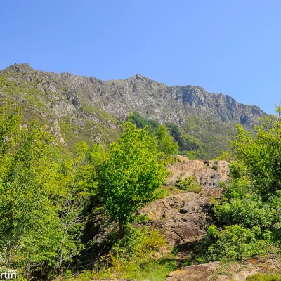
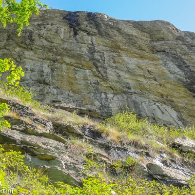
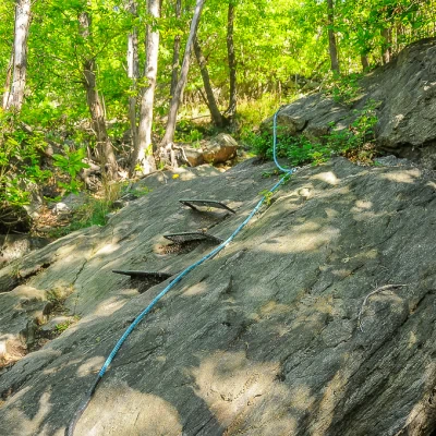
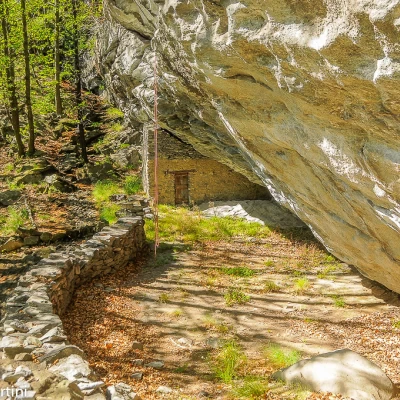
0h05' Climb the steep steps that in a few minutes take you up above the roofs of Donnas. The path tends to the left, crossing some rocky sections covered with wire netting. After a few turns, you reach the base of the "Vivaio Biellese" cliff - wooden panel on site. After a short ledge, the trail starts climbing again on rocky terrain interspersed with stone steps and a few metal steps. One enters the chestnut wood, overcoming some rocky slabs thanks to some "blue" fixed ropes, which are of help especially in case of wet ground. The path then descends again through the sub-forest made up of large expanses of fern (Pteridophyta) before reaching Roccia Cambusa, an enormous barma visible at the last, below which are the ruins of ancient fortifications.
0h25' Continue eastwards following the path that reaches a small rocky depression, climbs it with wide steps before reaching the junction between paths
and
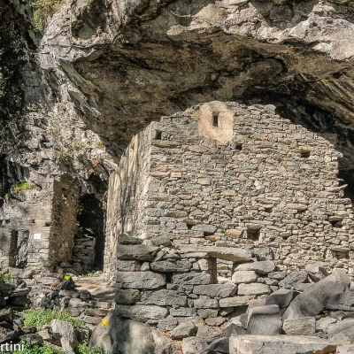
. Continue to the left up a short stretch of woodland before beginning a less steep section through the beautiful chestnut grove, soon reaching an area with several ruins, including one perched under a barma. Continue along the path until you reach a small saddle where the path turns right: from here, turning left, you can make a quick detour to the site known as Peredrette.
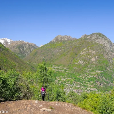
1h00' Continue along the path, which tackles a rocky wall with the aid of a few metal steps and a rope resting on the sloping slab. Having overcome the most difficult part, the path veers to the right and climbs up the various rocky crags, circumventing them with care: the wood thins out and interesting views open up over the valley floor. The ascent ends with the ascent of a leaning slab that, without any difficulty, anticipates the shy summit of Truc Chaveran (727m) where there is a small memorial stone.
1h30' The descent begins gently on the path that continues in a northerly direction through shrubs and a few downy oaks until it takes a wide bend to the right. We cross a rocky band and reach an isolated farmhouse with a small spring attached. Now turn left and continue downhill on the rocky path until reaching the road to Albard. Then continue along the route of the Balteo - Balteus path until reaching Via Principe Tommaso again. Take it to the right until you reach the initial section of the itinerary 2h30'.
General information
Signposts:
, s.n. and
Objective Danger: take care with some passages on rocks in case of wet ground
Exposed sections:Inclined slab before Truc Chaveran
