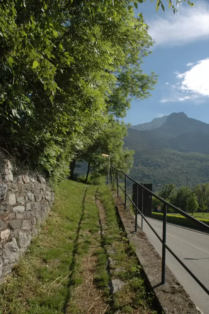
From the motorway junction exit at Châtillon, turn right towards the spa town. After passing a set of traffic lights, continue straight on into Saint-Vincent and, at the roundabout in front of the Casino de la Vallée, take the second exit onto Via Marconi, which branches off to the left. Go all the way along Via Marconi, then Via Roma until you reach Piazza XXVIII Aprile: at the roundabout go straight on, second exit, along Via Ponte Romano until you reach it where, on the right just after the playground area, you will find a small car park 🅿️.
[0h07'] - [4.1km] How to get there with GMAPS How to get there with Apple Maps How to get there with Moovit
The information provided here has been verified as of the date of the route survey. Before setting off, it is advisable to ensure that no substantial changes have occurred on the route to the starting point. We therefore recommend the use of the satellite navigation apps provided by Google or Apple for up-to-date and detailed directions.
Introduction
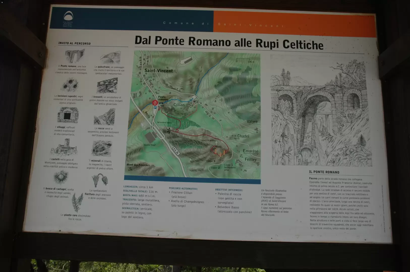
Short and interesting itinerary a stone's throw from Saint-Vincent. The subtitle of the excursion, "From the Roman Bridge to the Celtic cliffs" gives a very good idea of the idea of this small itinerary through the pages of history.
To make the most of the presence of the rock engravings, we recommend a guided tour with experts in the area: for information, contact the Saint-Vincent Tourist Office, which will be able to inform you of the dates on which the guided tours are held.
Description
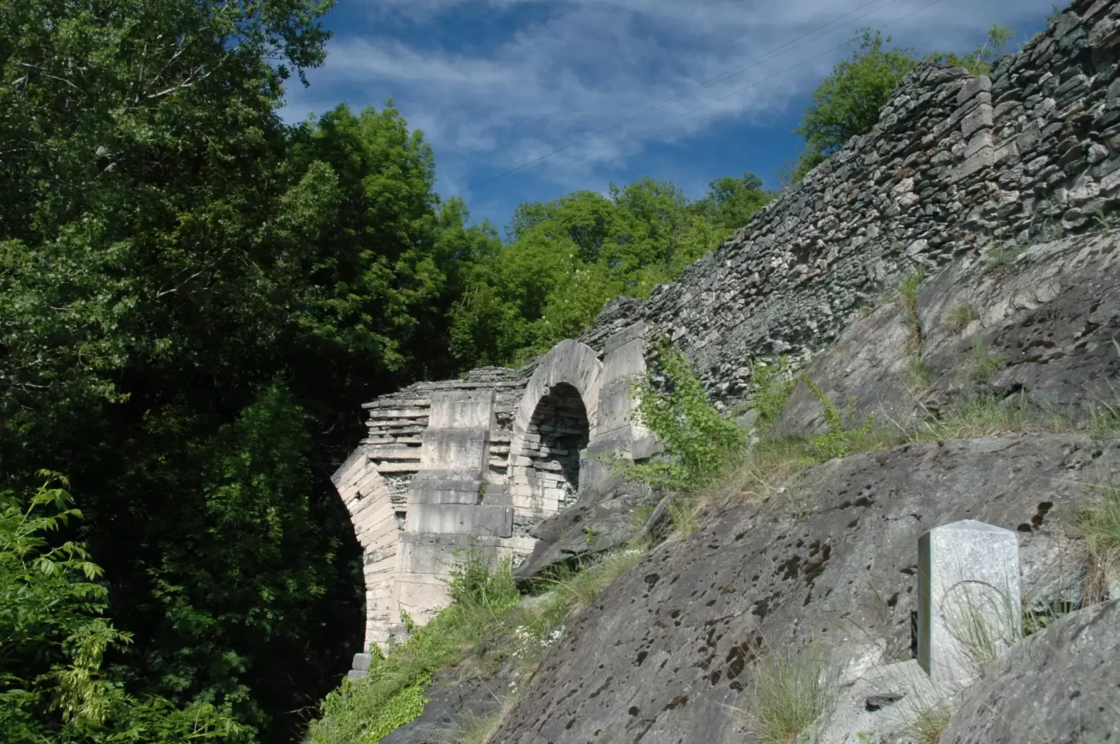
0h00' After leaving the car, you will immediately come across an explanatory panel showing the main features of the route you are going to take. You cross the road and go near the Roman bridge dating from the first century BC: a few dozen metres to the right, a path branches off that immediately meets a signpost indicating Moron (path
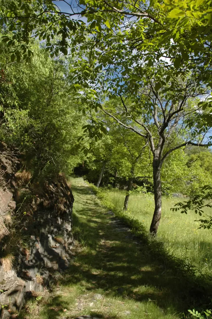
, 800m, 1h15'); turn left passing near the walls with a climbing wall and, after turning right again, proceed along the nice flat and shady path. After a few beautiful views of Mont Barbeston, turn slightly to the left and begin a gentle climb past vegetable fields.
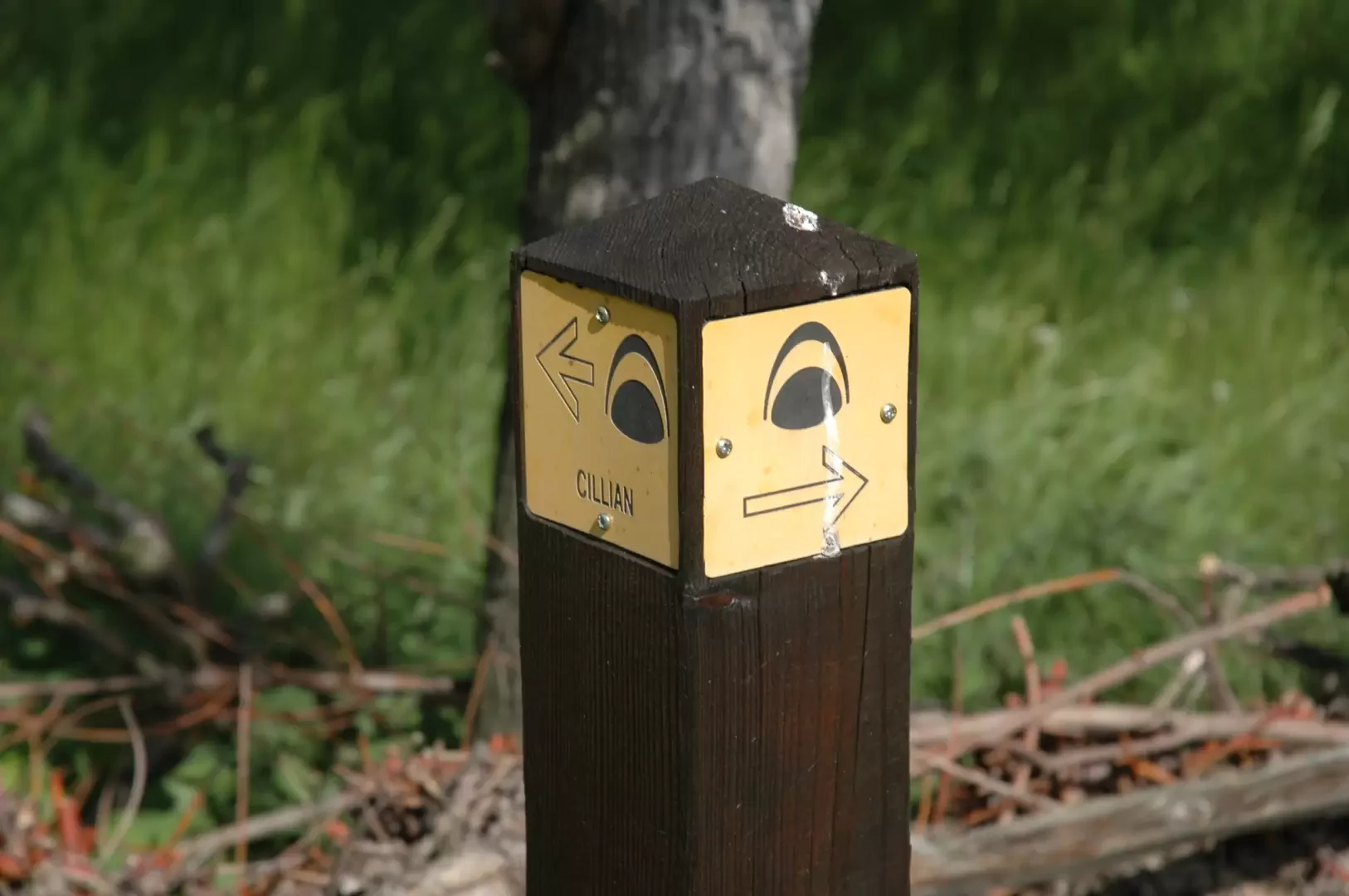
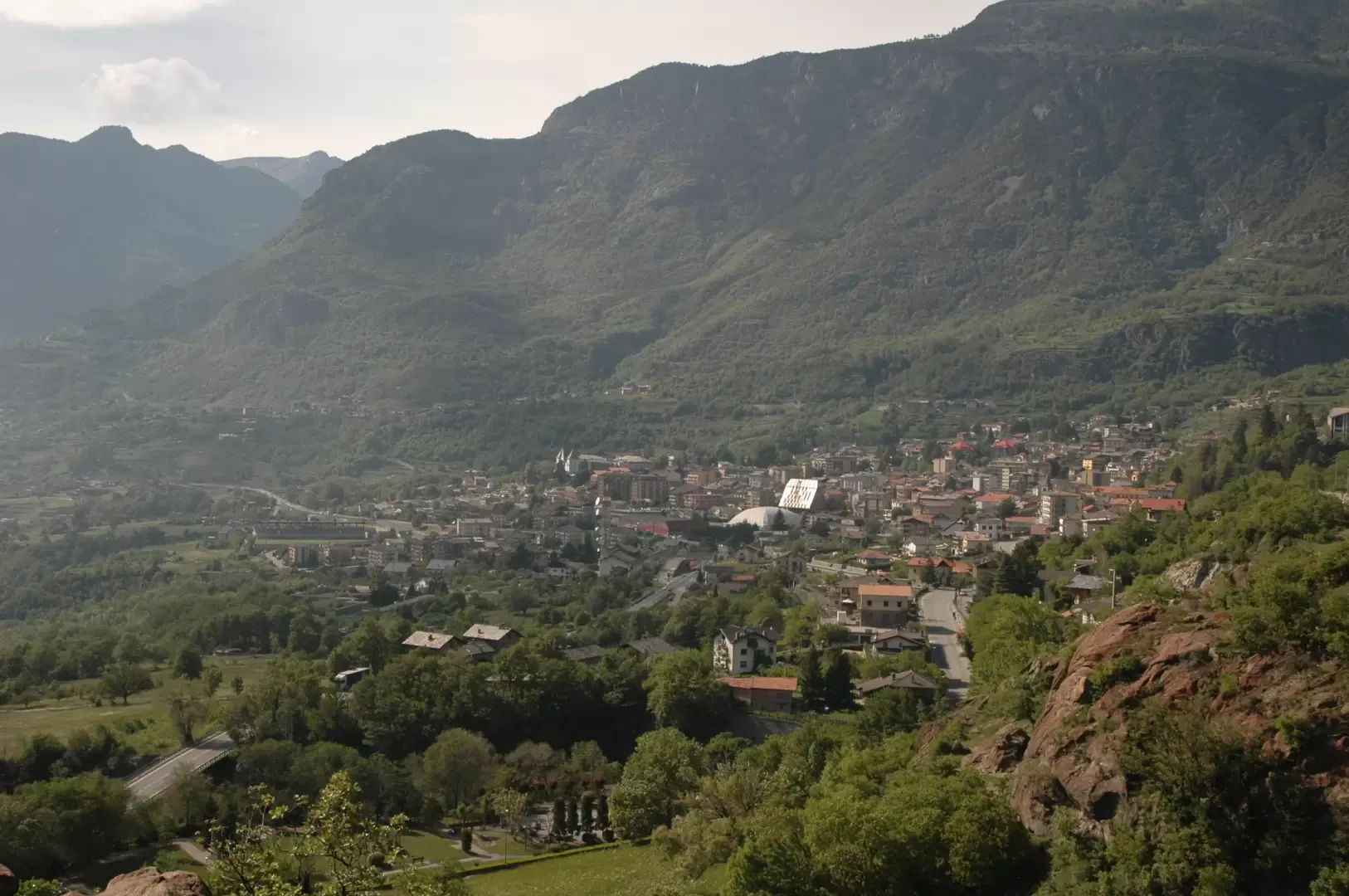
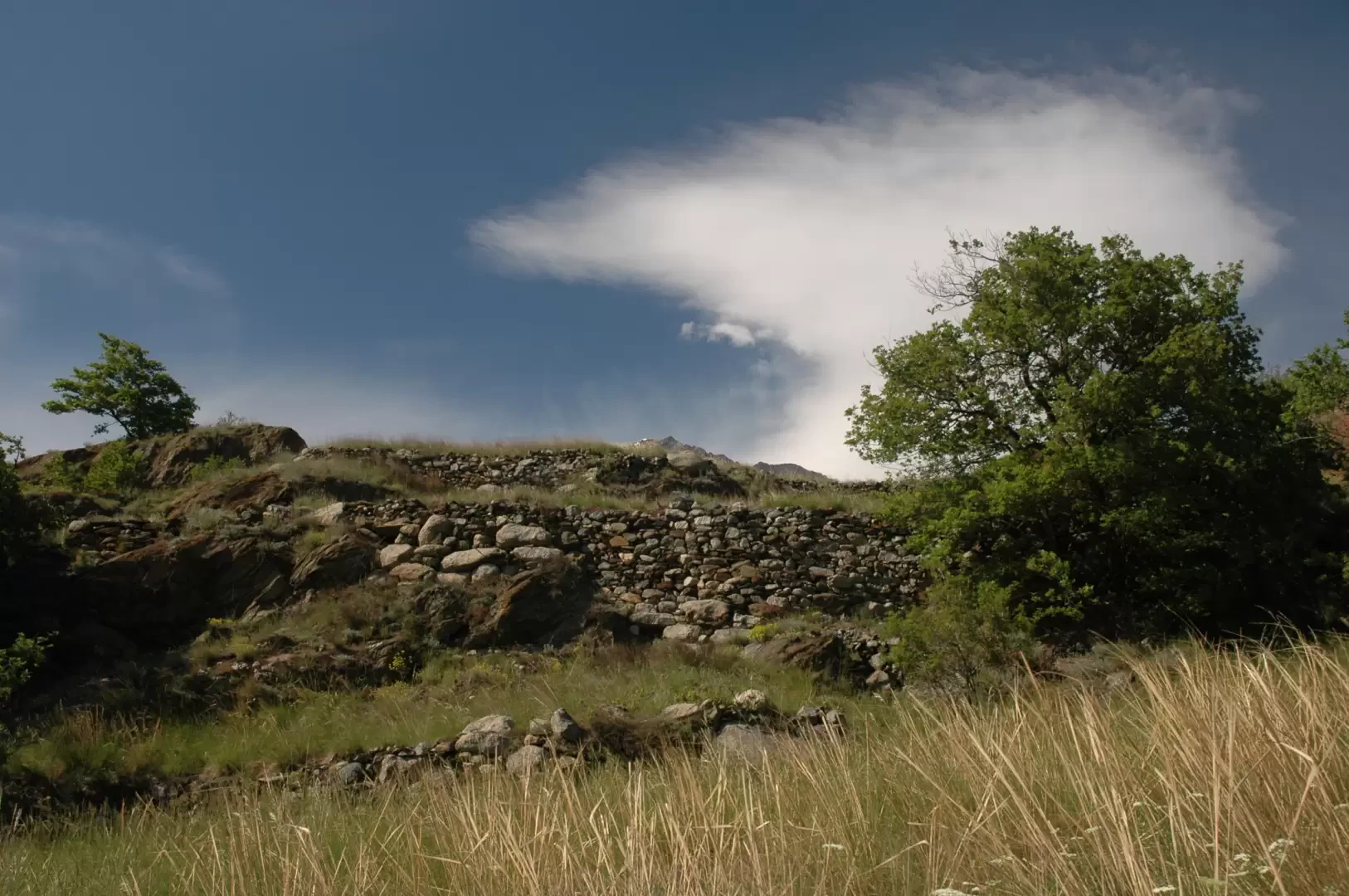
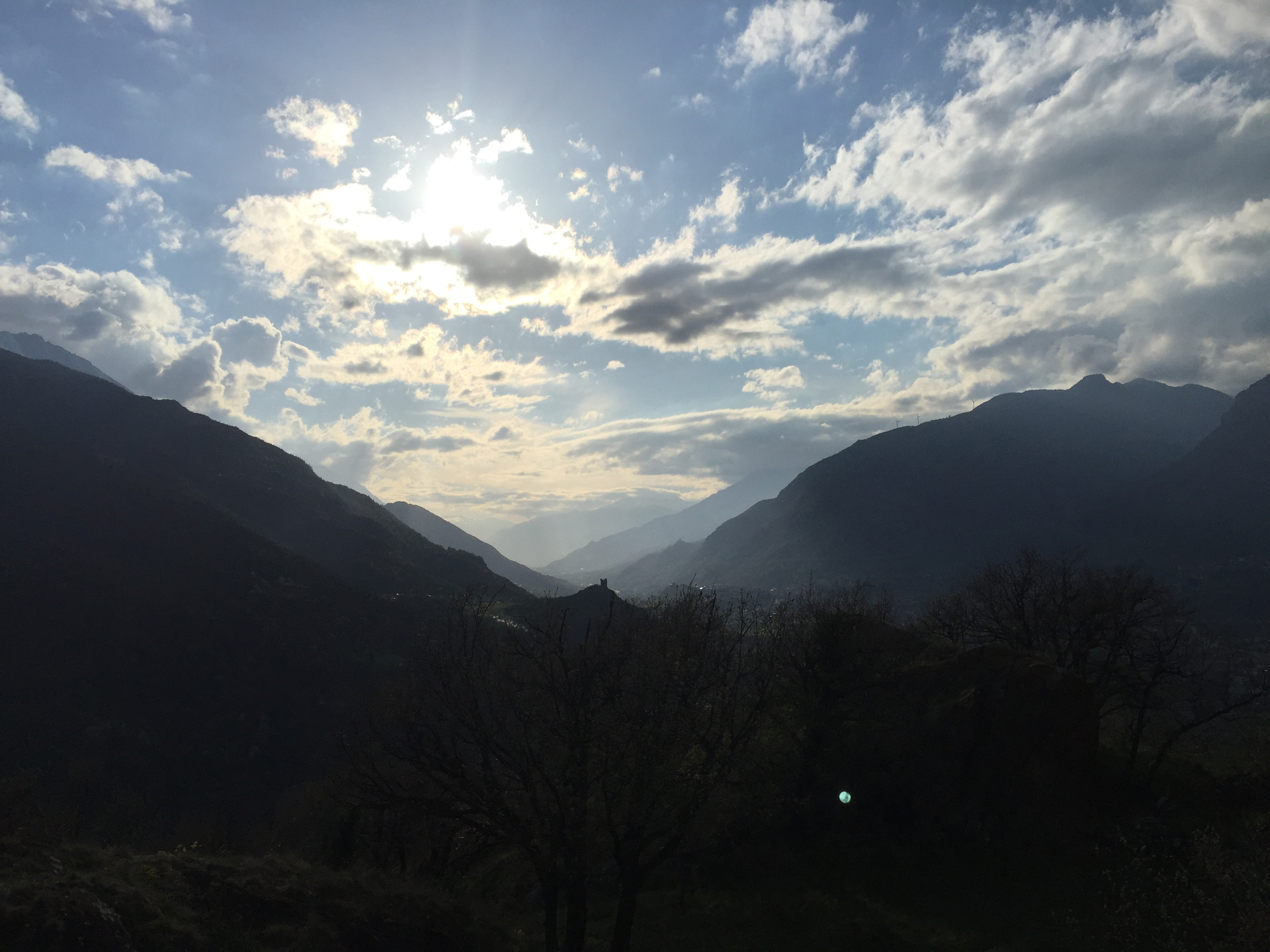
0h10' Just before Cillian, you will come across a marker stuck in the ground bearing the route logo (610m): turn right here and continue along the path bordered by dry stone walls that crosses the tall vegetation. After a short turn to the right, you walk along a low wall among the trees, until you reach the base of Mont Tsailloun; here there are a couple of turns until you reach a cart track in the middle of the forest: turn right and you will soon reach the low belvedere (632m): from here there are interesting panoramic views of Saint-Vincent and the middle valley. 0h15' Continue slightly uphill as you start to climb the characteristic hillock
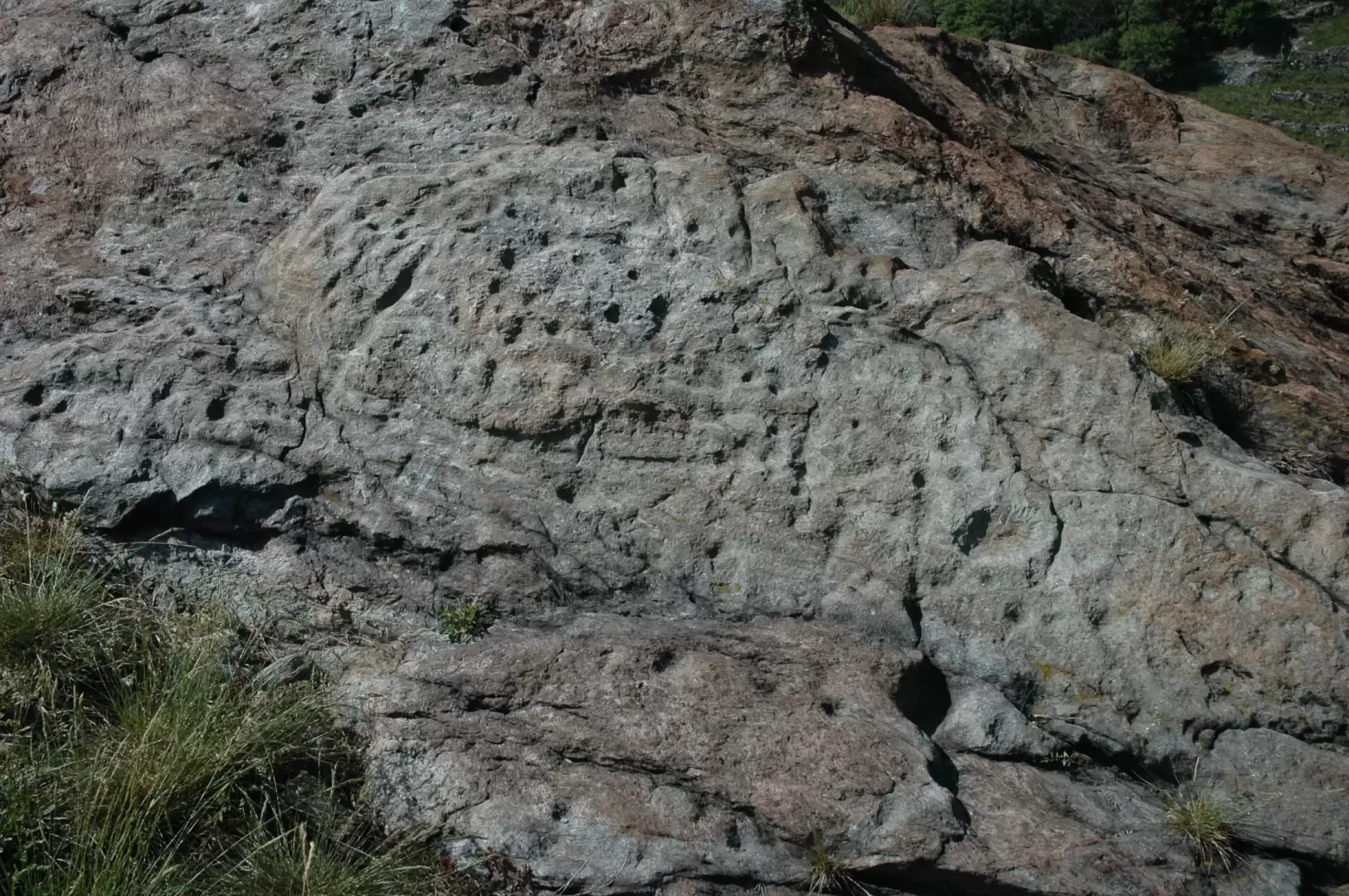
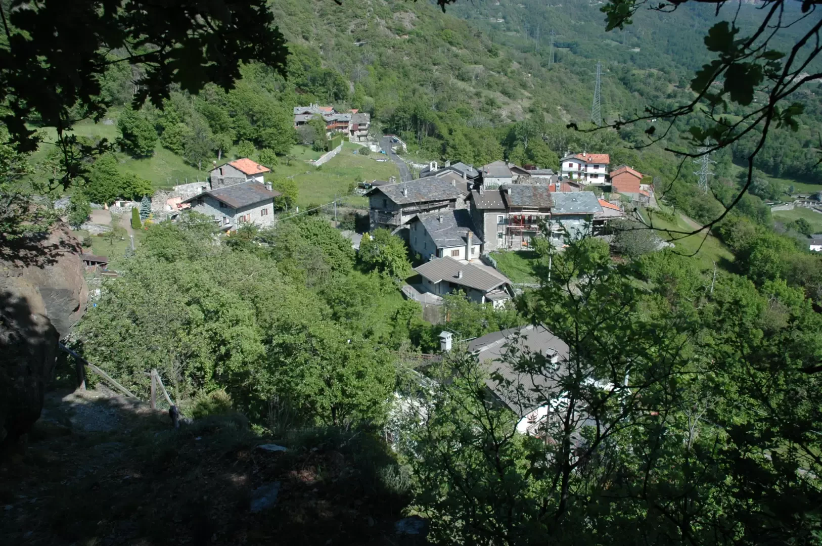
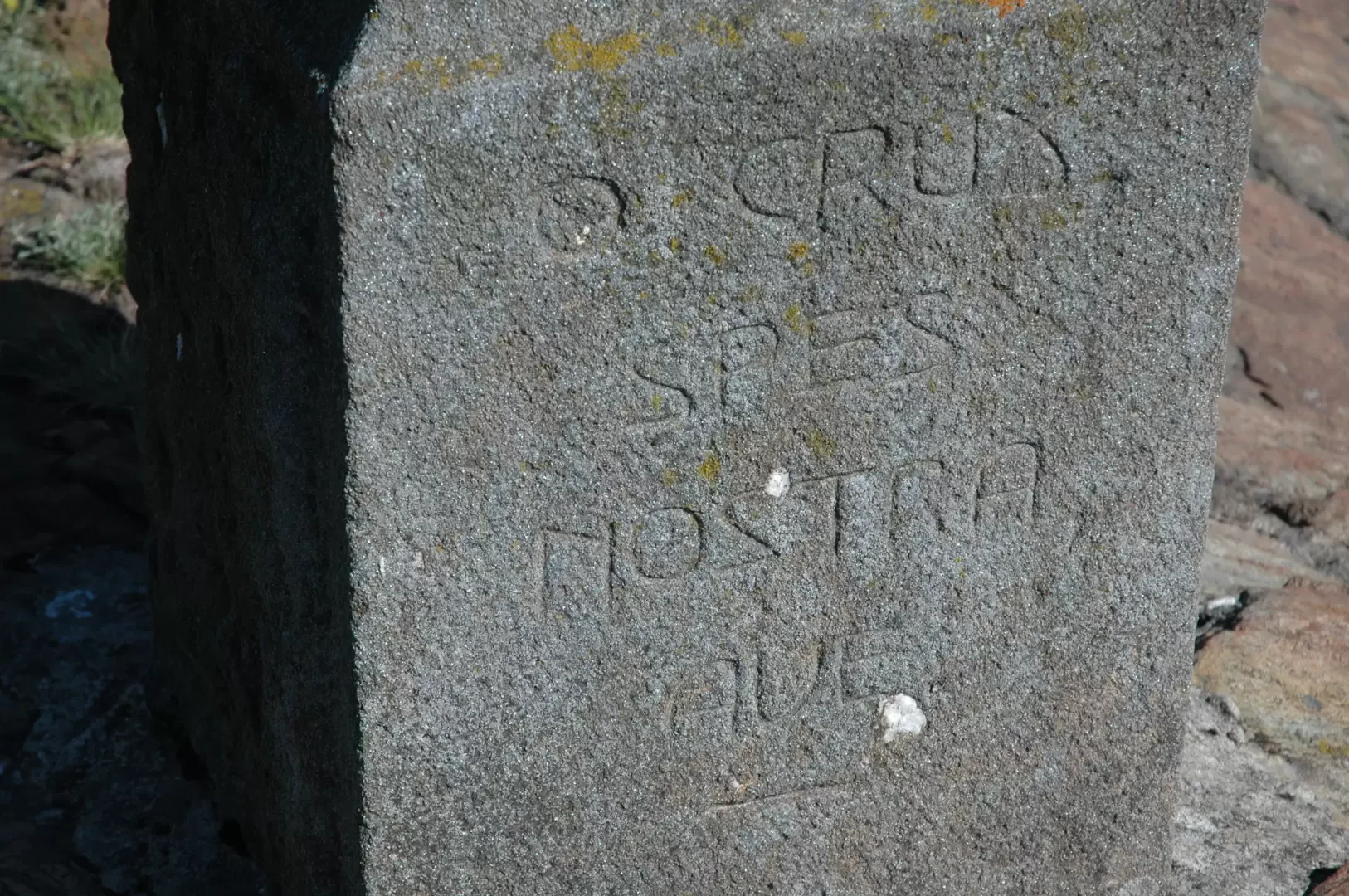
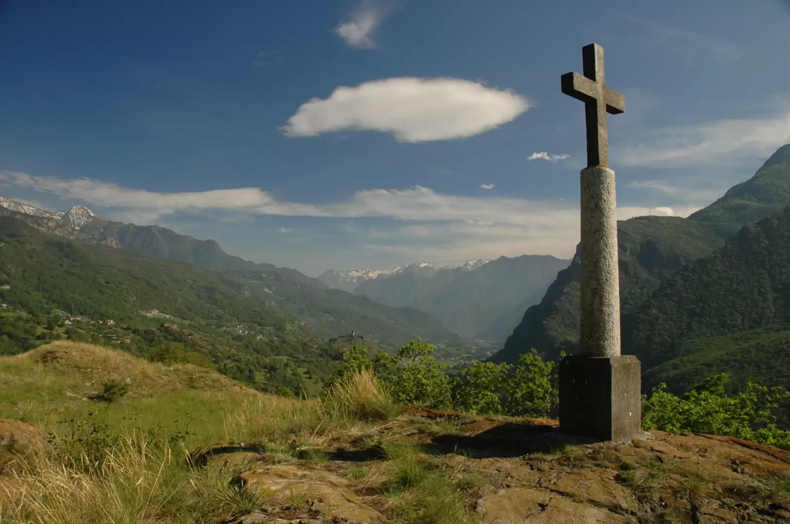
There is a short retracement of the little road as far as the previous fork: from here continue straight on, still on the same cart track until reaching the road for Feilley. Take the little road for a few metres until you come to a marker again: here turn right and take the path again. Pass a short strip of woodland and then find yourself close to the houses; the path takes a few hairpin bends and leads to a small terrace with beautiful views of the lower valley. Go past the terracing and you will come across a first numbered post indicating the presence of engravings and cup-marks of Celtic origin (very difficult to see n.d.r.). Continue turning to the right and begin the ascent of the mountain. A second numbered post with engravings is encountered and, after a short diagonal stretch, we reach the foot of the cross. One last little effort and you will finally reach the summit of Mont Tsailloun (686m, 0h30' .
The return is along the same route as on the outward journey, omitting the diversions to the low viewpoint if you wish.
General Information
Signposts:
and then dedicated signposts Type of route: a/r Recommended period: January, February, March, April, May, June, July, August, September, October, November, December Exposure to sunlightwest, north, east, south Objective Danger: none Exposed Tracts: none Useful Equipment: normal daily hiking gear Water:not present along the route


Comments (0)
Sign in to leave a comment