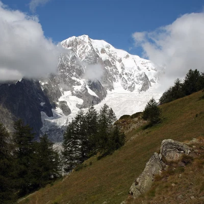
Mont de la Saxe, from Raffort
Description
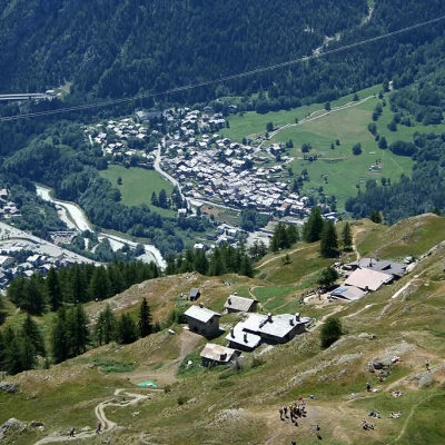
0h00' Leaving the car in a small car park after the village (note: there are not many parking spaces, so it is advisable to park further down to avoid obstructing residents), continue along a small road that is first asphalted and then, at a chalet on the left, unpaved. Take a tree-lined lane up the orographic left of the Val Sapin stream. After about 5 minutes, you come to a panel with a thematic map of the paths in the Espace Mont Blanc and a signpost indicating the itinerary to follow to reach our destination: path
.
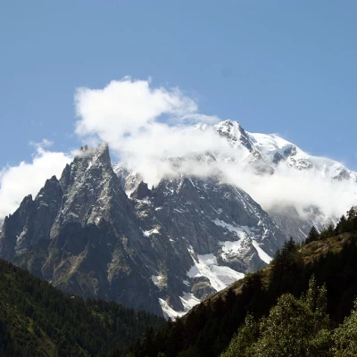
You pass a bar and continue on the dirt road; after a few metres, cross the stream on a small concrete bridge and climb up this stretch of road without too much of a slope, which offers beautiful views of Mont Blanc, the Aiguille Noire de Peuterey and Mont Chetif. After a 20-minute walk, on the bend in the farm road, we come to the crossroads for Belvedere (1580m, 0h45'), trail (37), and for La Saxe (1226m, 0h30'), trail (34). We continue along the road, which crosses a Scots pine and birch forest without any particular difference in altitude and enters the Val Sapin. After about 25 minutes we come to the junction for the refuge, following path
.
We turn left and begin to climb up a beautiful path through a verdant forest; after 0h40' we come to a monument dedicated to the Aosta Battalion and its unmistakable motto!
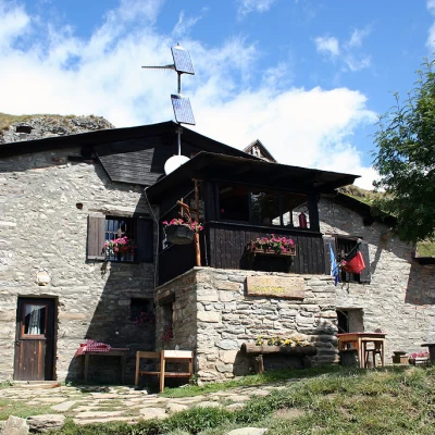
We continue up into the forest, enjoying sudden panoramic views of the surrounding mountains: in the distance the mountains of La Thuile and in the foreground the mighty Mont Crammont. After about an hour's walk, the path flattens out slightly, heading south and then starts to climb again on the last stretch of the route. Having passed a rudimentary stone bench, we finally leave the last strip of larch woodland and after 1h 25' we reach a signpost at the foot of the hut: in front of us emerges in all its splendour Mont Blanc and the unmistakable silhouette of Mont Chetif: from here we reach the hut in five minutes.
Just above the hut we find the alpine pastures of Le Pré (2000m) and an orientation panel to enjoy the fantastic panorama of the entire Mont Blanc Massif.
From the col, go up the grassy slope following the signs for Testa Bernarda until you reach the characteristic grassy ridge at the foot of the Mont Blanc Massif
.