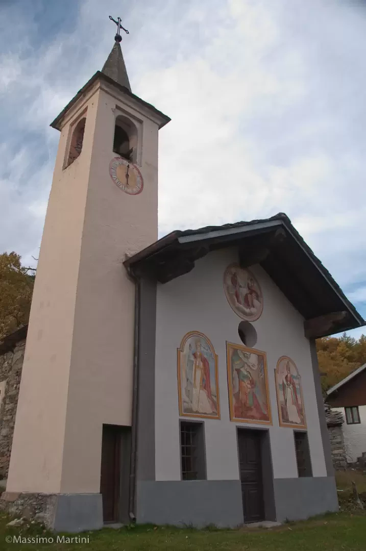
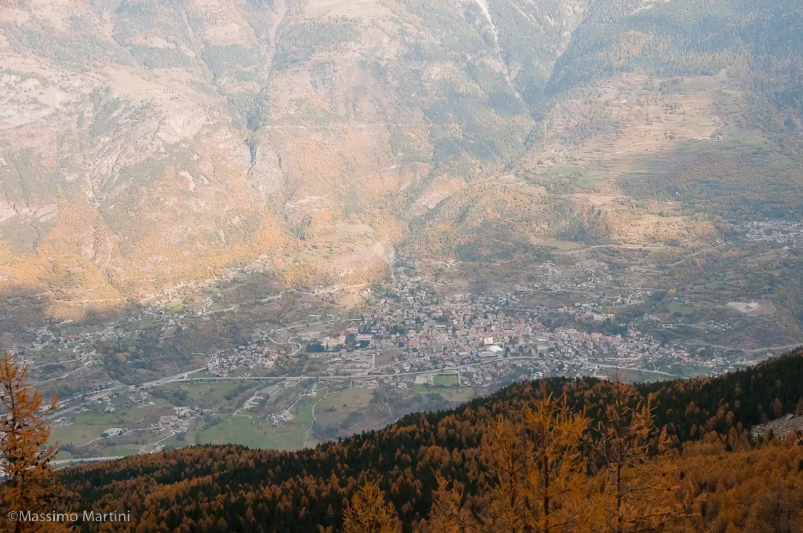
From the motorway exit at Châtillon, turn left heading towards the town centre until you reach a first crossroads where you turn left again. Follow Strada Barat then Viale della Stazione as far as the subway over the railway line, after which turn left again, following signs for Ussel/Pery/Bellecombe. Continue on the little communal road, cross the Dora Baltea and reach the characteristic village of Ussel, known for its medieval castle. Continue on the communal road surrounded by chestnut trees until you reach the village of Bellecombe, where you will find a large free car park 🅿️ in front of the chapel of Saint Anne.
[0h1'7] - [8.5km] How to get there with GMaps How to get there with Apple Maps
The directions given here have been verified at the date of the survey of the route. Before setting off, it is advisable to make sure that no substantial changes have occurred on the route to the starting point. Therefore, we recommend the use of the satellite navigation apps provided by Google or Apple for up-to-date and detailed directions.
.
Introduction
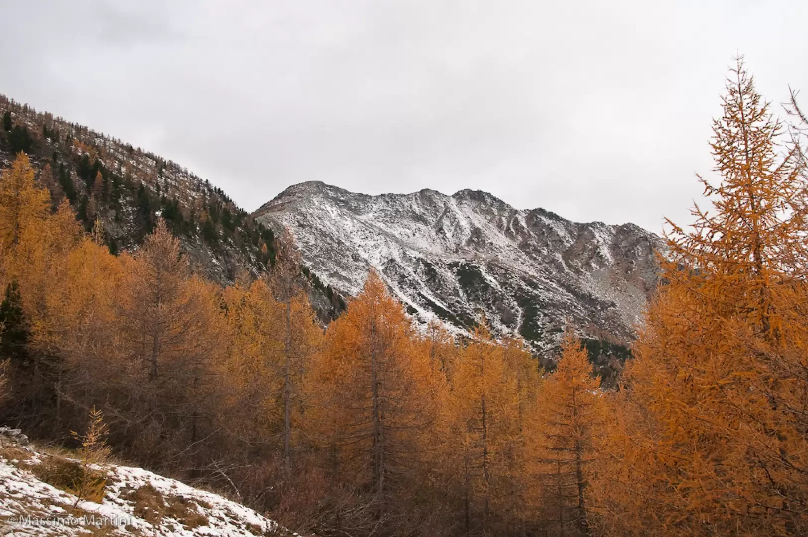
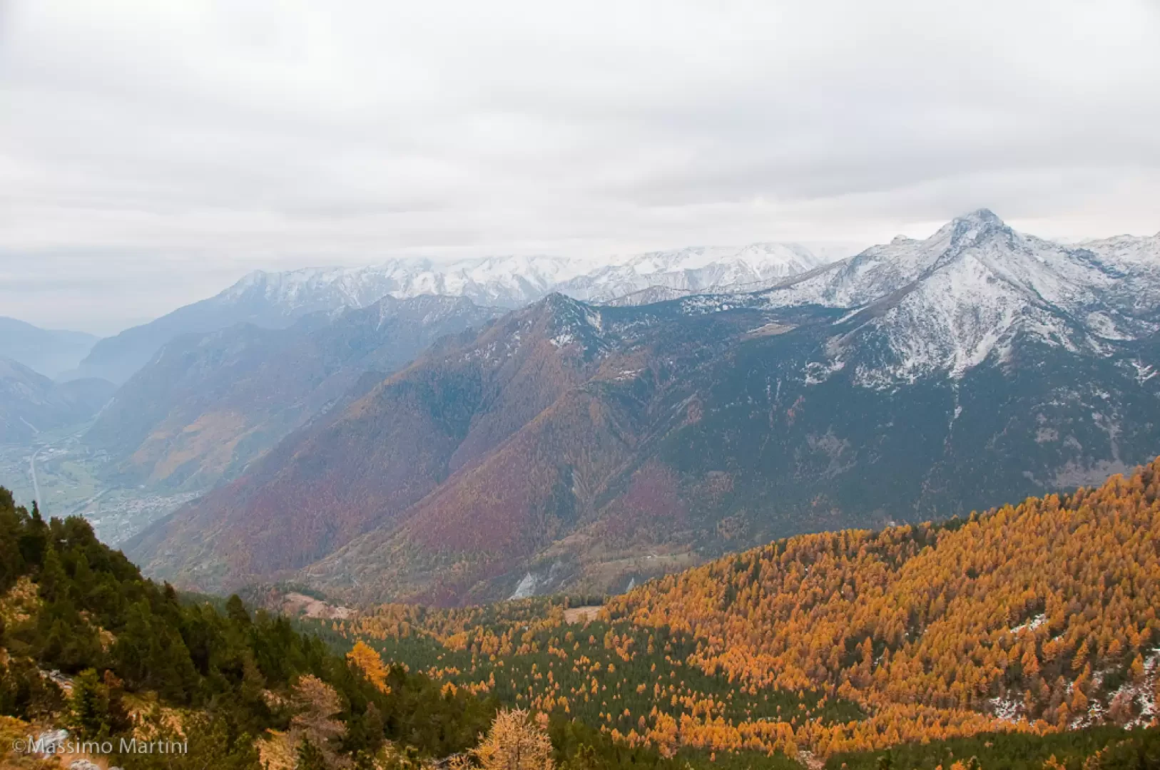
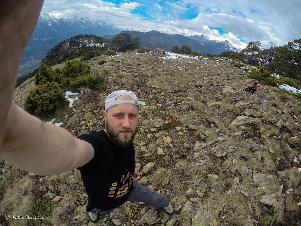
The route described here represents access to Mont Barbeston from the commune of Châtillon. A route with a moderate difference in altitude that offers interesting panoramic views, especially in the second part of the ascent.
Description
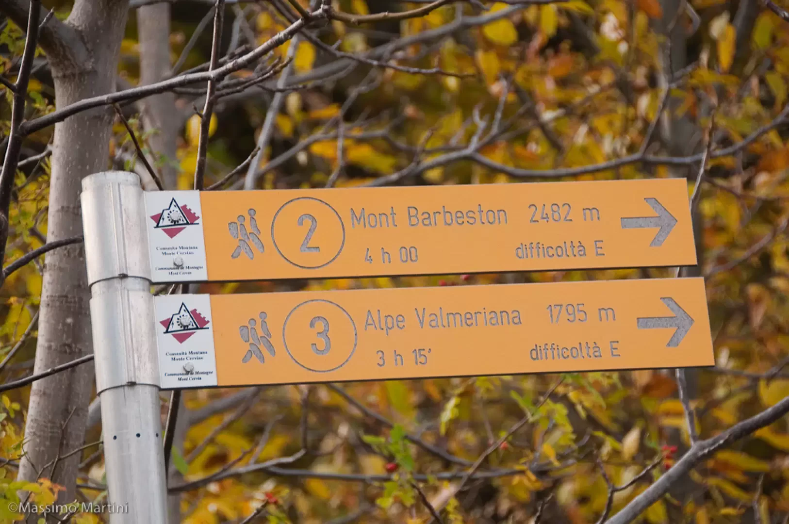
0h00'0.00km Go past the marker posts indicating paths
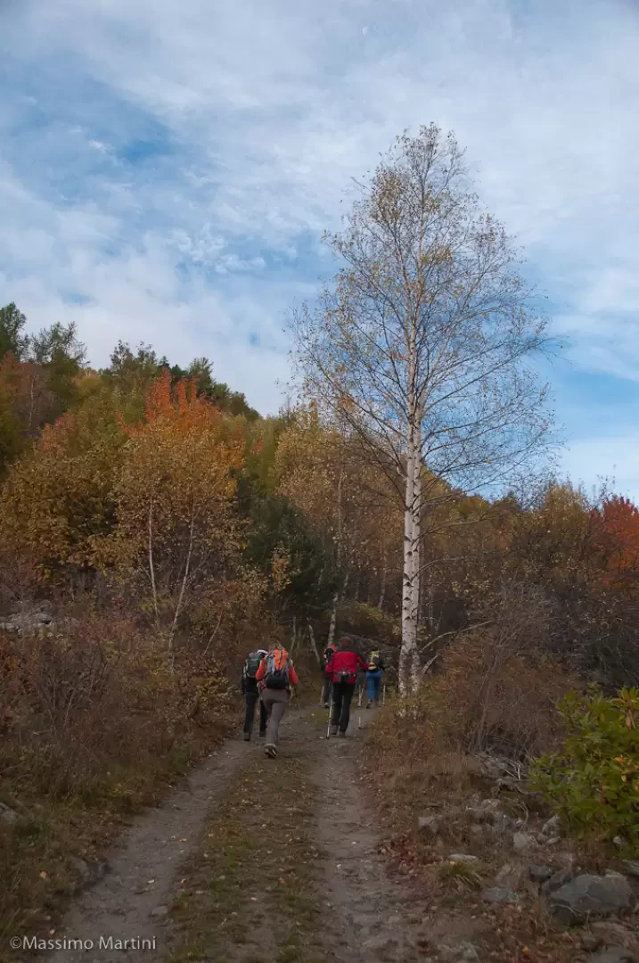
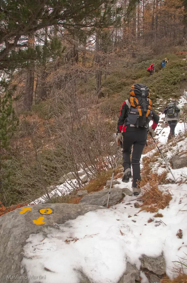
and take the dirt track that turns immediately right around the village. Follow the road through the pleasant chestnut and birch forest and, after a few bends, you will come to a fork in the road: ignore path
, which branches off to the right, and continue on path
, still on the dirt track.
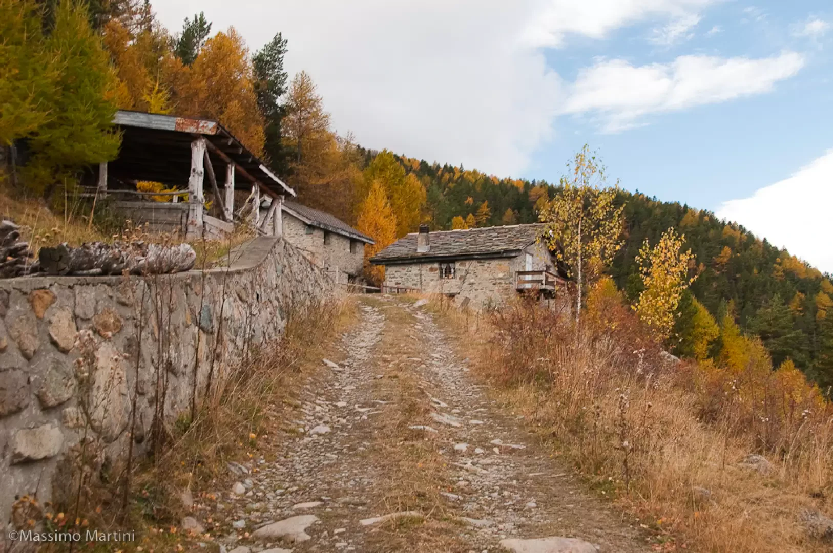
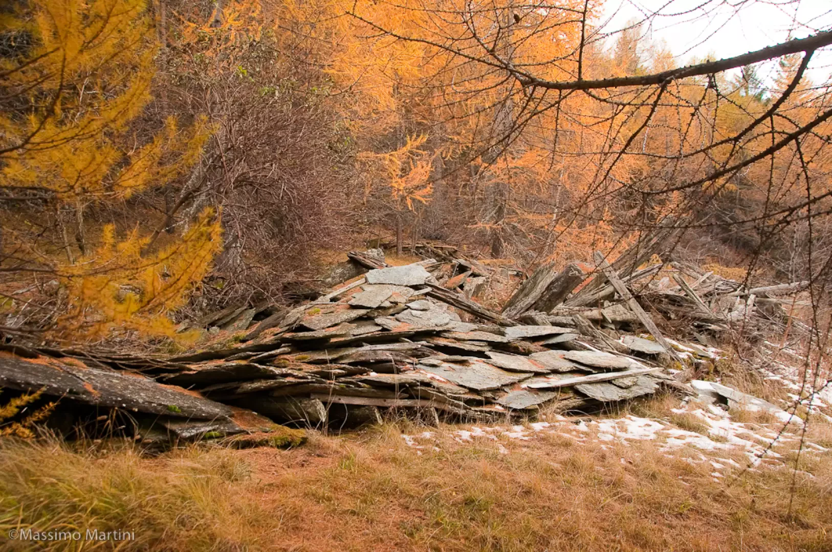
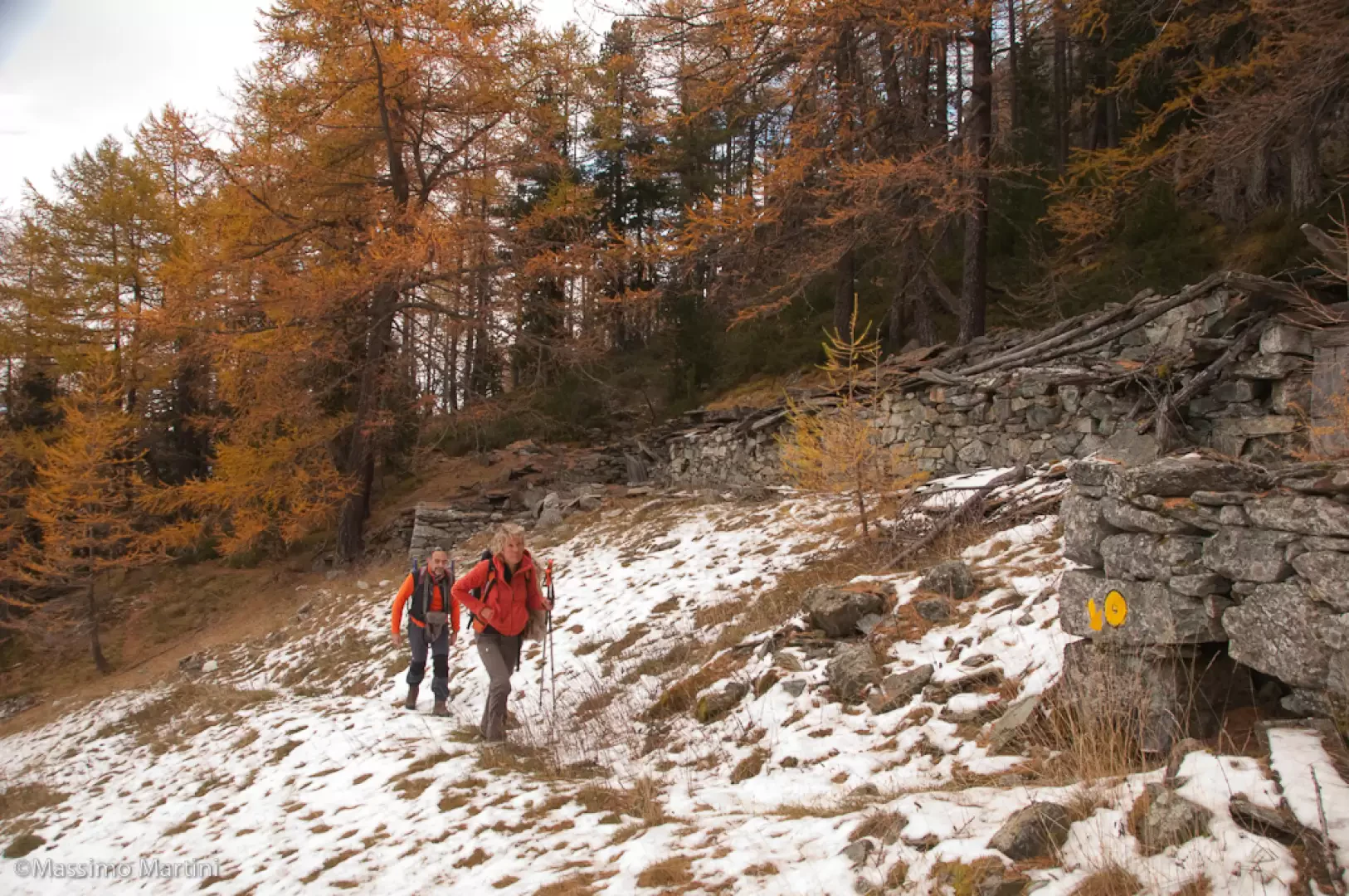
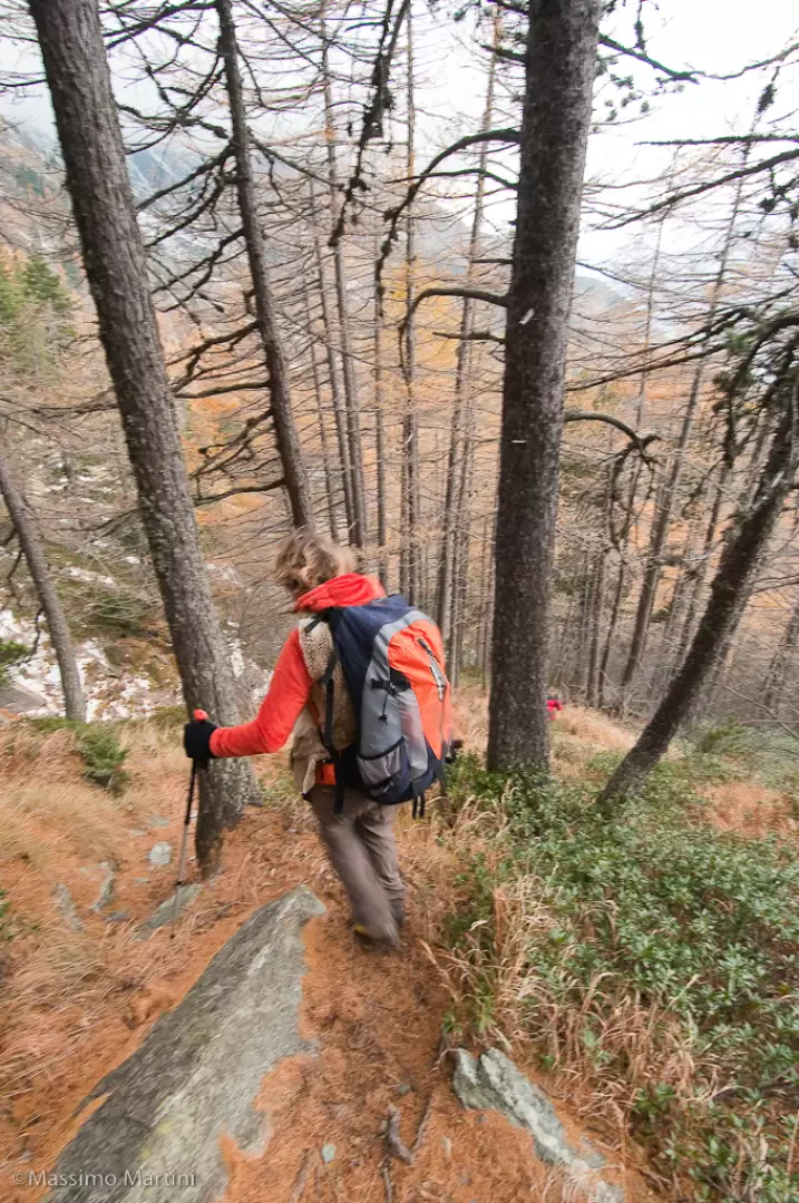
0h20'0.58km Continue straight on until you come to a metal barrier which prevents vehicular traffic, to be bypassed on the left, and continue along the dirt track which climbs up the wooded slope with a series of bends, some pleasant views of the Valtournenche peaks accompany the walk which is in itself a little boring in this section. After passing a section with a steeper slope, the road flattens out before reaching Mont Ros dèsot (1415m, 0h50'). 0h20'0.58km On the left of the cottages there is a signpost with directions to Mont Barbeston: join the path that begins to climb up the wood in a diagonal ascending line to the right. After an initial moderately steep section, you come to a small stream, which can be forded without any problems, and a gate (1485, 1h10'). Once past the gate, a small spring is found (useful for possible water supplies) and the climb begins again with greater intensity in the now completely coniferous forest. After a turn to the left, we come to the ruins of Biolasse (1600m, 1h30') and reach a short plateau crossed by a small stream. The trail tends to the right as it begins to climb again in the vicinity of Toule (1841m, 2h00'). Having left the path
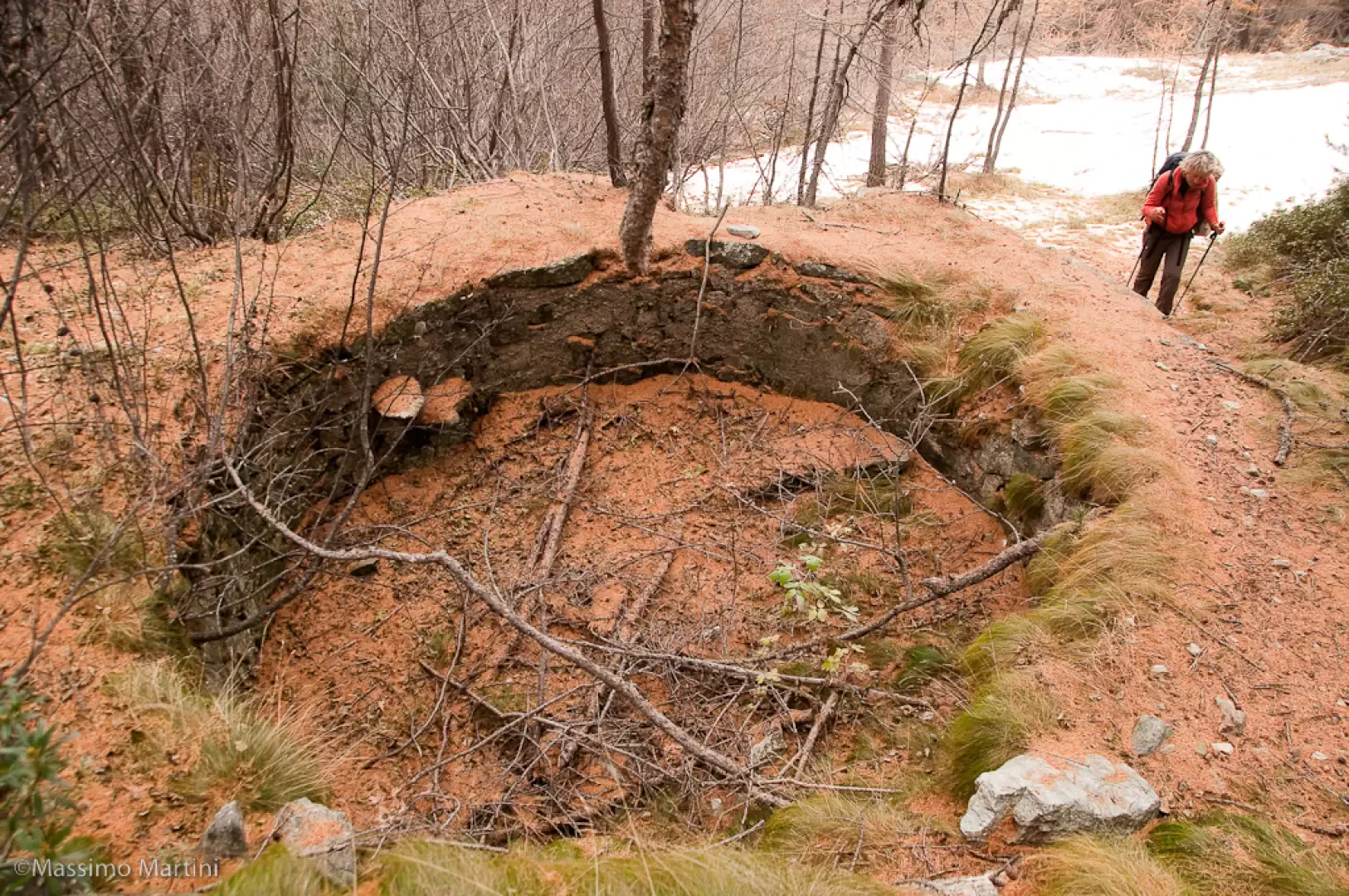
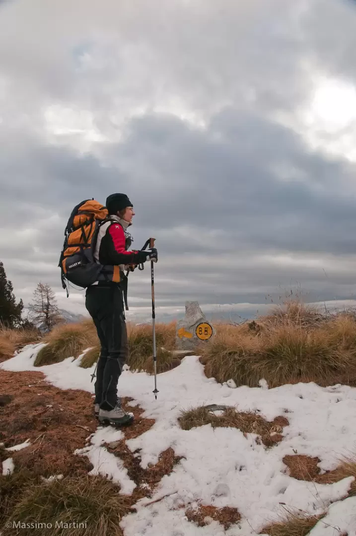
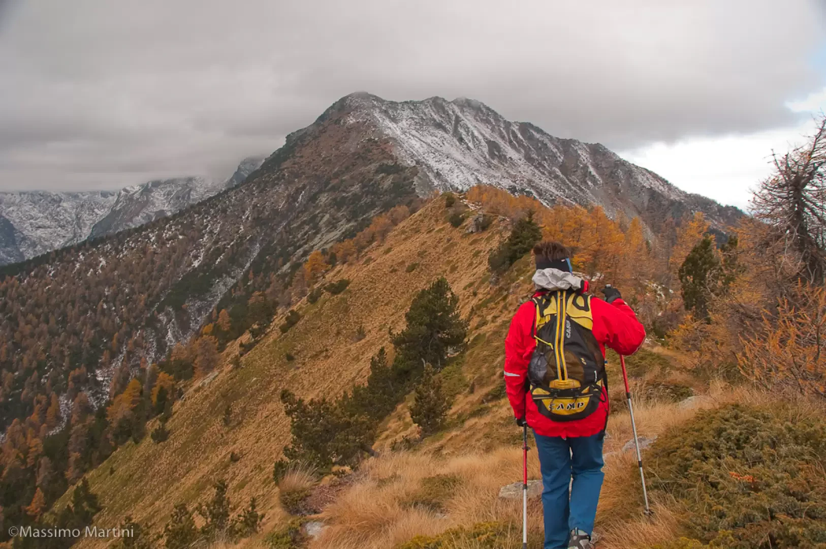
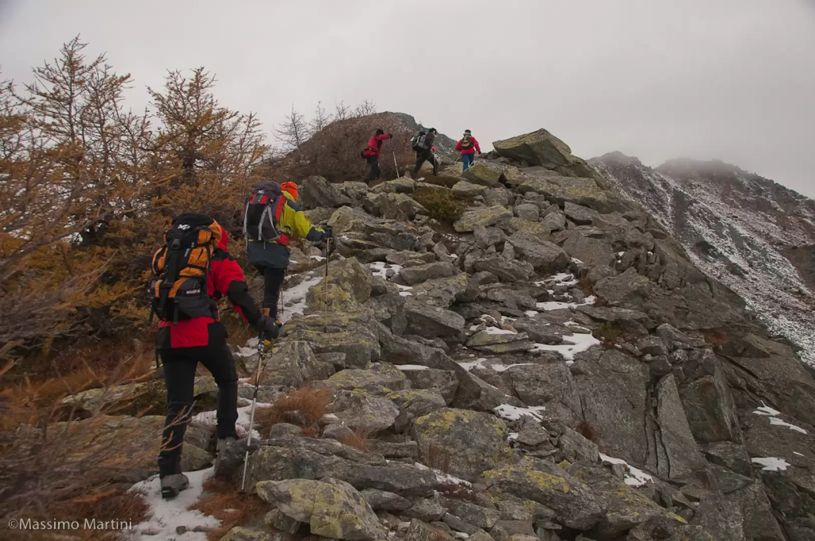
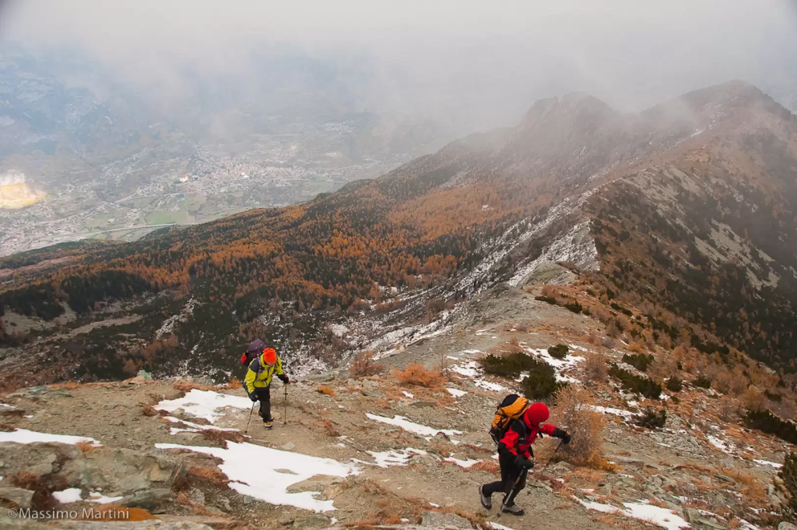
to Salé, which branches off to the right, we skirt a peculiar circular basin, used in the past to collect spring water, and begin the steep ascent towards Col Goddet. The path rises considerably and climbs the steep slope between juniper and bilberry trees in a fairly sparse larch forest. Having passed the steepest section, the trail veers to the right as the view opens up to the final destination. At the end of the diagonal to the right, turn left to reach Col Goddet (2110m, 2h35') and the junction of the path (8B) coming from Hérin. Continue now on the ridge, in the direction of the summit. The path is not very obvious but easily navigable, even if it is overgrown with low vegetation in places. The remarkable panorama on both sides of the direction of travel and the relatively undulating section make for pleasant progression. Slowly, the path begins to climb again, always keeping to the edge of the ridge, until it reaches the junction with path
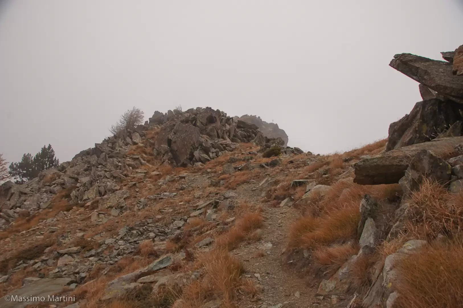
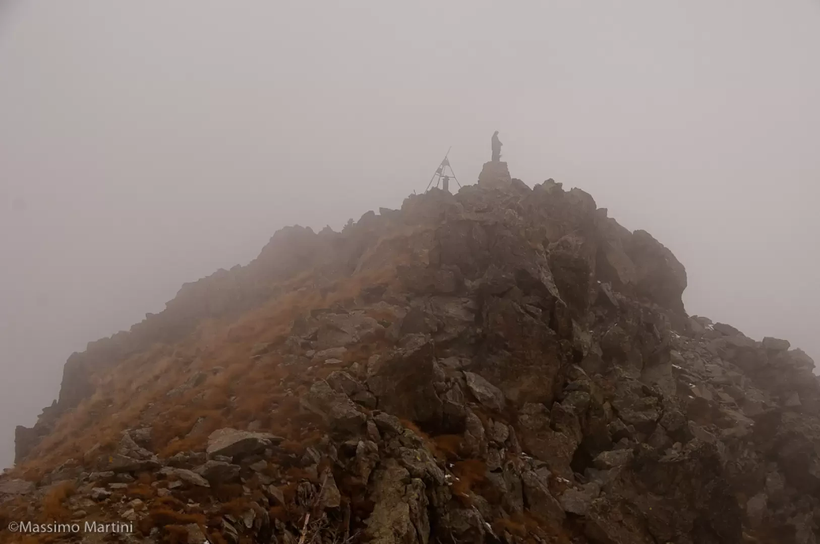
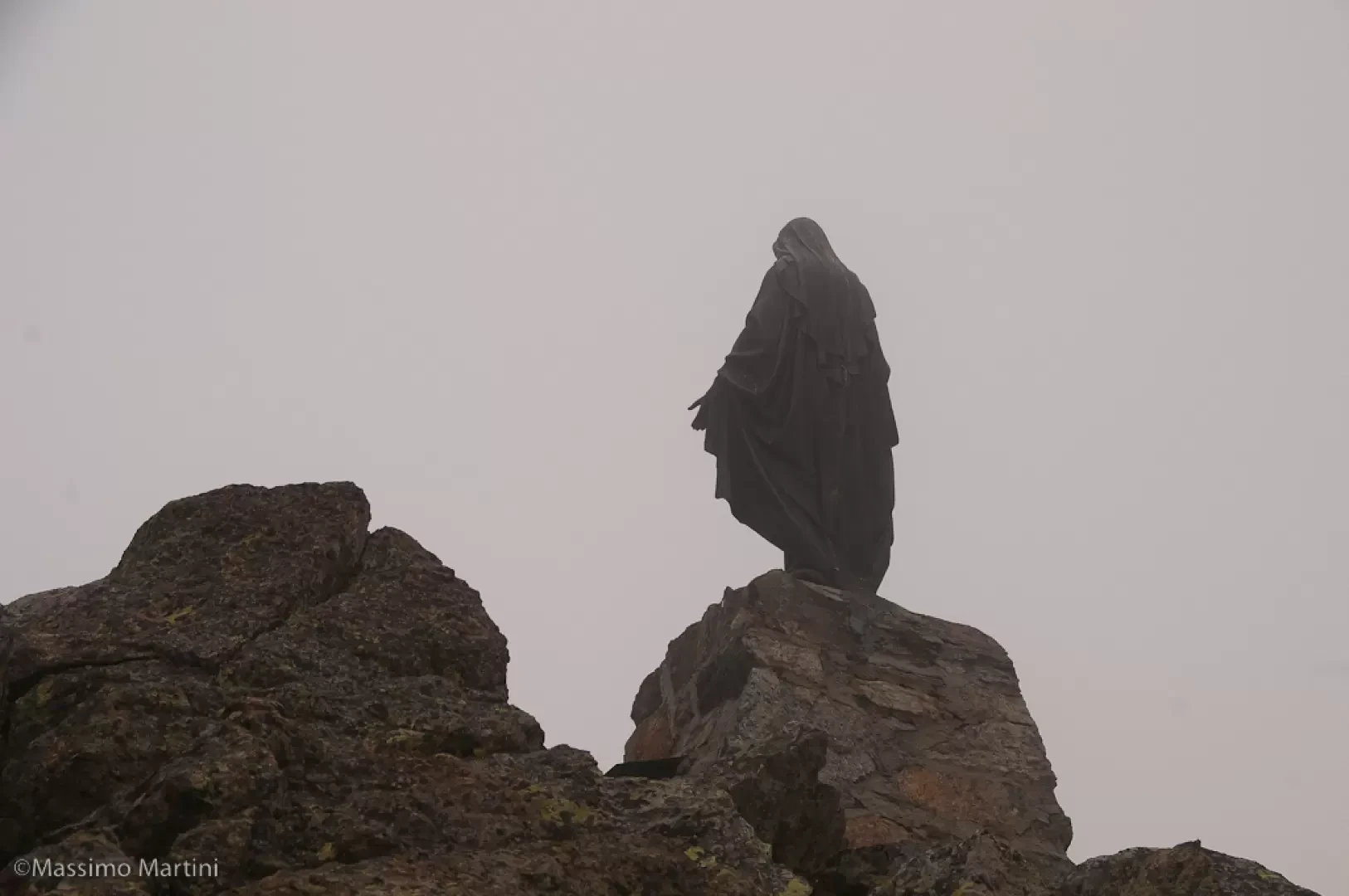
coming from the Vallone di Chalamy, which is obviously to be disregarded. You start climbing again with decided intensity, leaving behind the last tenacious larches. With a series of twists and turns, you overcome about 200m of difference in altitude until you reach the eastern summit, not mentioned on the map and quoted at 2452m. Continue along the line of the wide ridge that separates us from the main summit, following the evident path that goes up and down on the southern side with a few ups and downs until reaching the junction with path (7) coming from Col Valmeriana. Turn right and climb the last few metres of scree to finally reach the summit of Monte Barbeston (2483m, 4h00'). The return journey follows the same route as on the outward journey (3h00').


Comments (0)
Sign in to leave a comment