Lasciare l'autostrada allo svincolo di Nus e procedere per 220m (0,22km). Alla rotonda prendere la seconda uscita e imboccare la in direzione Fénis, proseguendo per 500m (0,72km) fino alla rotonda successiva, dove prendere ancora la seconda uscita. Mantenere la destra in direzione di Località Chez Sapin ed entrarvi dopo 199m (0,92km). Continuare su Località Chez Croiset per 500m (1,42km) e su Località Chez Machet per 300m (1,72km). Dopo 160m (1,88km) svoltare a destra su Frazione Cors, proseguire dritto per 99m (1,98km), quindi continuare su Barche per 240m (2,22km) e su Località Miseregne per 400m (2,62km). Svoltare a destra per rimanere su Località Miseregne e proseguire per 220m (2,84km). Svoltare a sinistra e percorrere gli ultimi 9,6km (12,4km) fino al parcheggio, situato sulla destra.
Parcheggio
Al termine della strada si trova il parcheggio 🅿️ gratuito della Valle di Clavalité, punto di partenza dell'itinerario.
Accesso con mezzi pubblici
Per raggiungere il punto di partenza dell'itinerario è necessario un mezzo privato, poiché la Valle di Clavalité non è servita da trasporti pubblici.
Le indicazioni fornite sono state verificate alla data del rilievo dell'itinerario. Prima della partenza si consiglia di verificare possibili variazioni del percorso o delle condizioni stradali. Per informazioni aggiornate si raccomanda di consultare Google Maps o Apple Maps.
Introduction
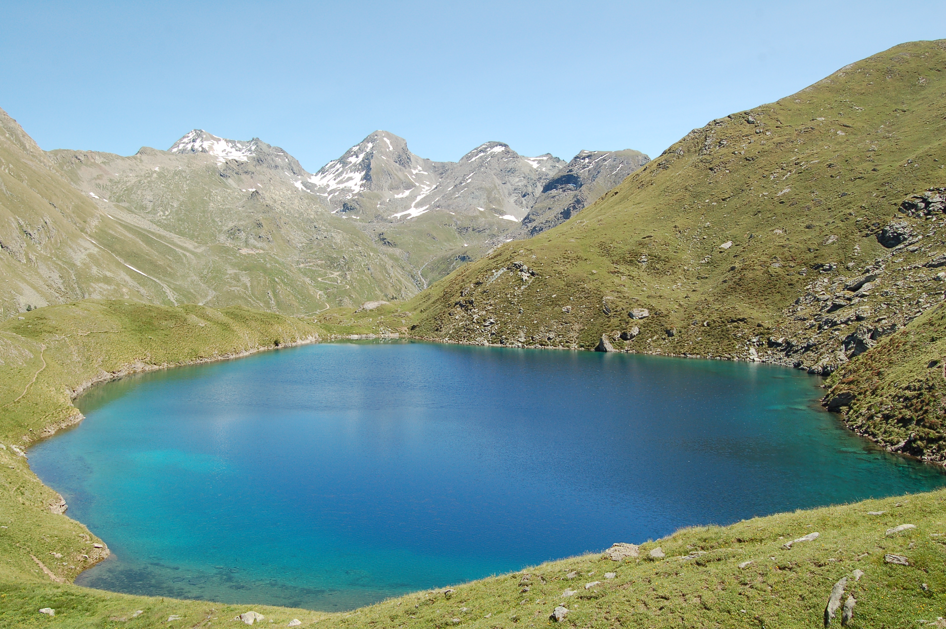
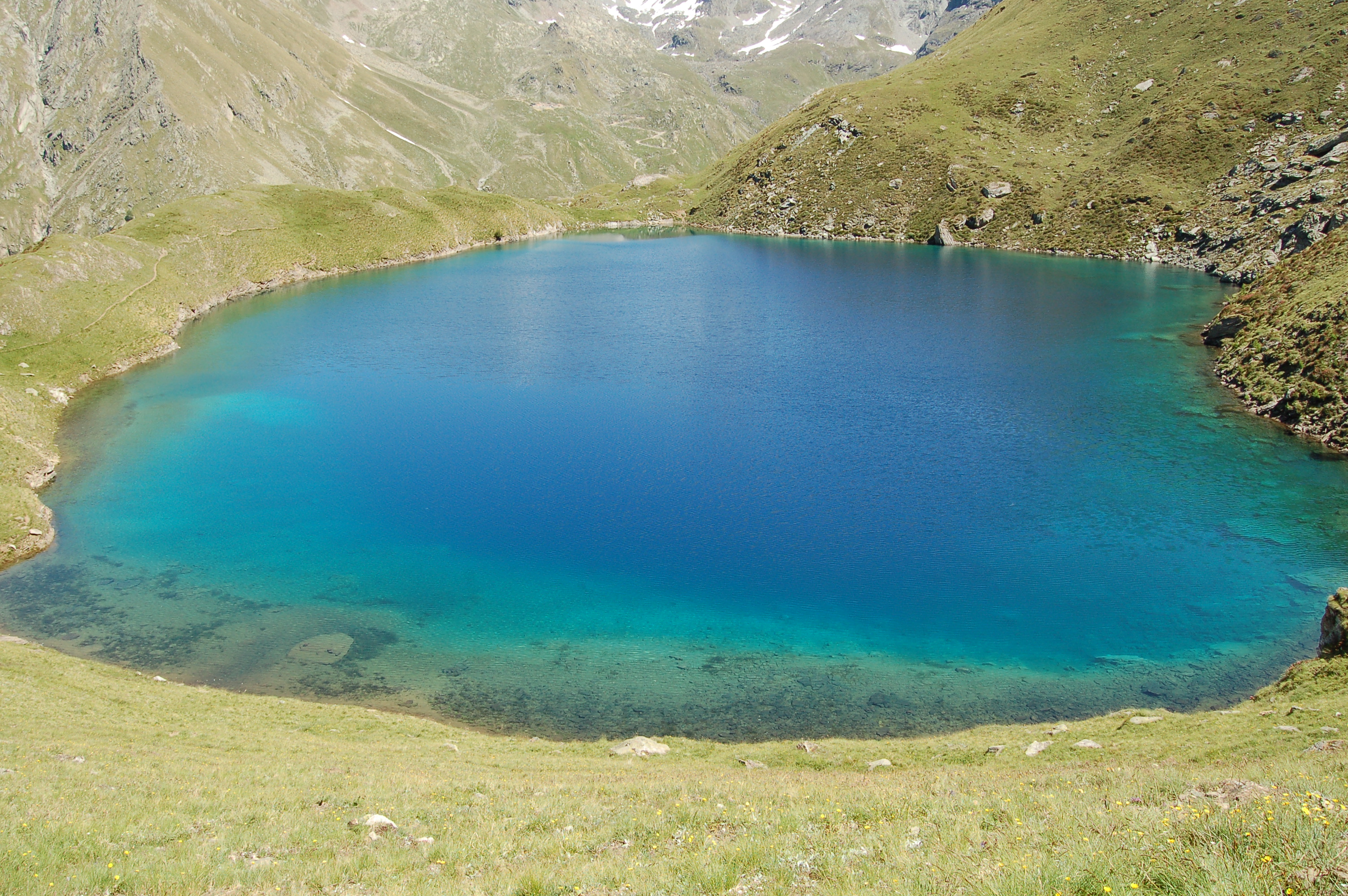
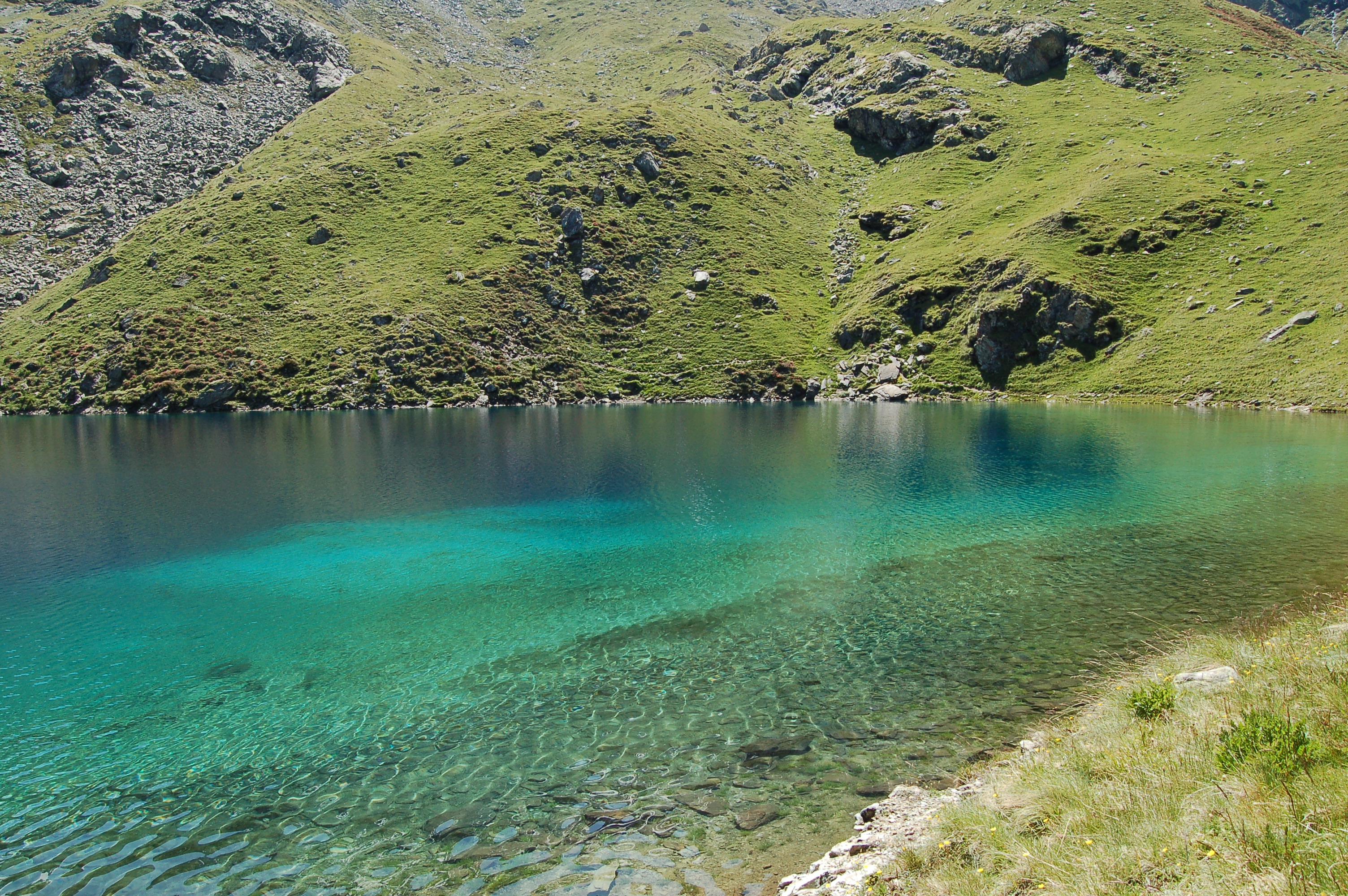
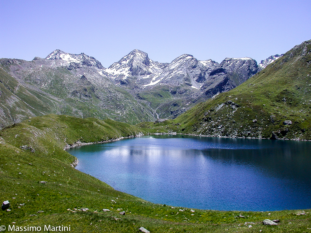
The Clavalité Valley is still a little-known destination and perhaps because of this, it is also full of charm. This route takes us through much of this valley to the enchanting Lavodilec Lake with its crystal-clear waters.
Description
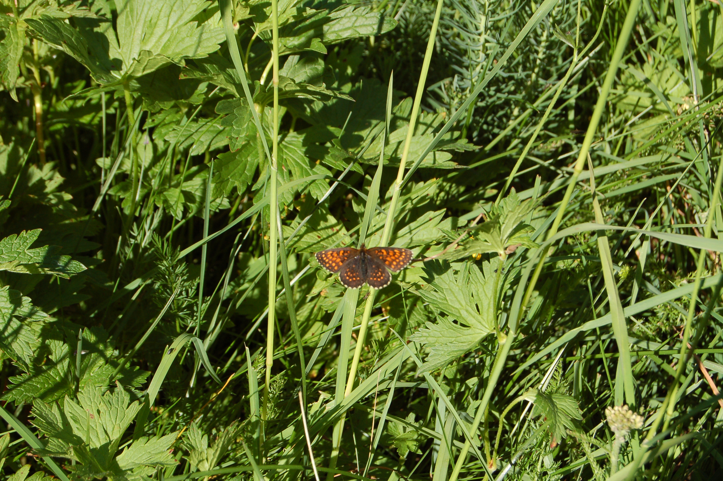
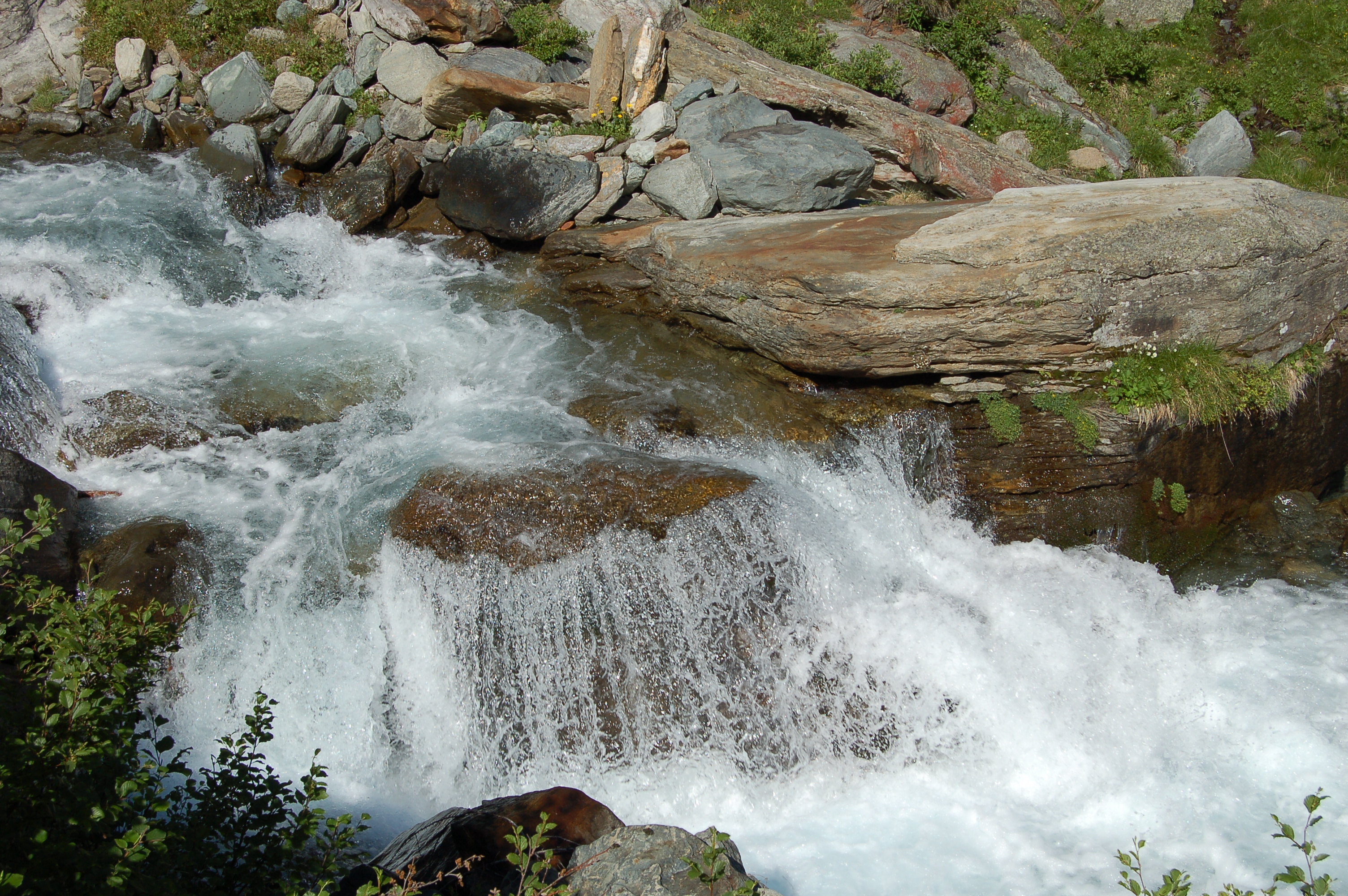
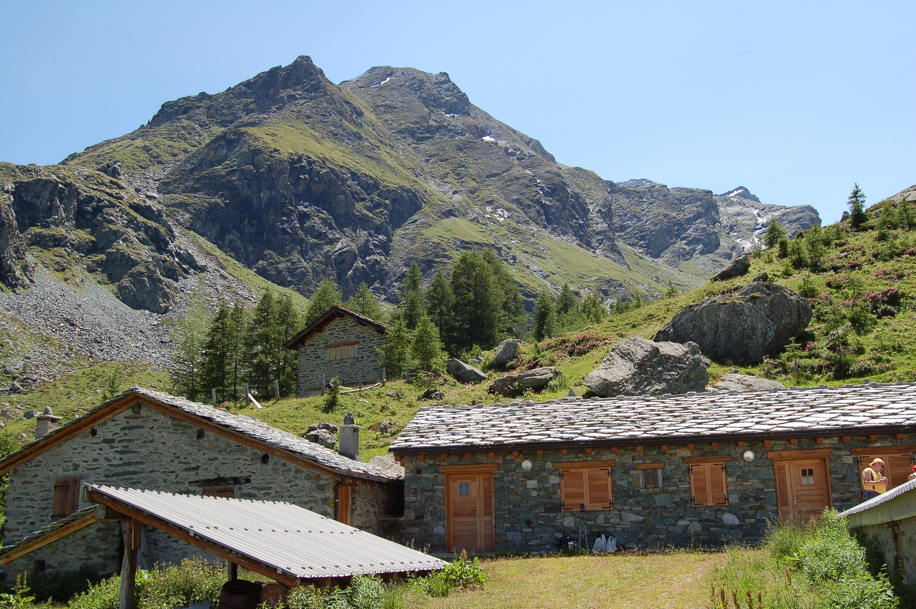
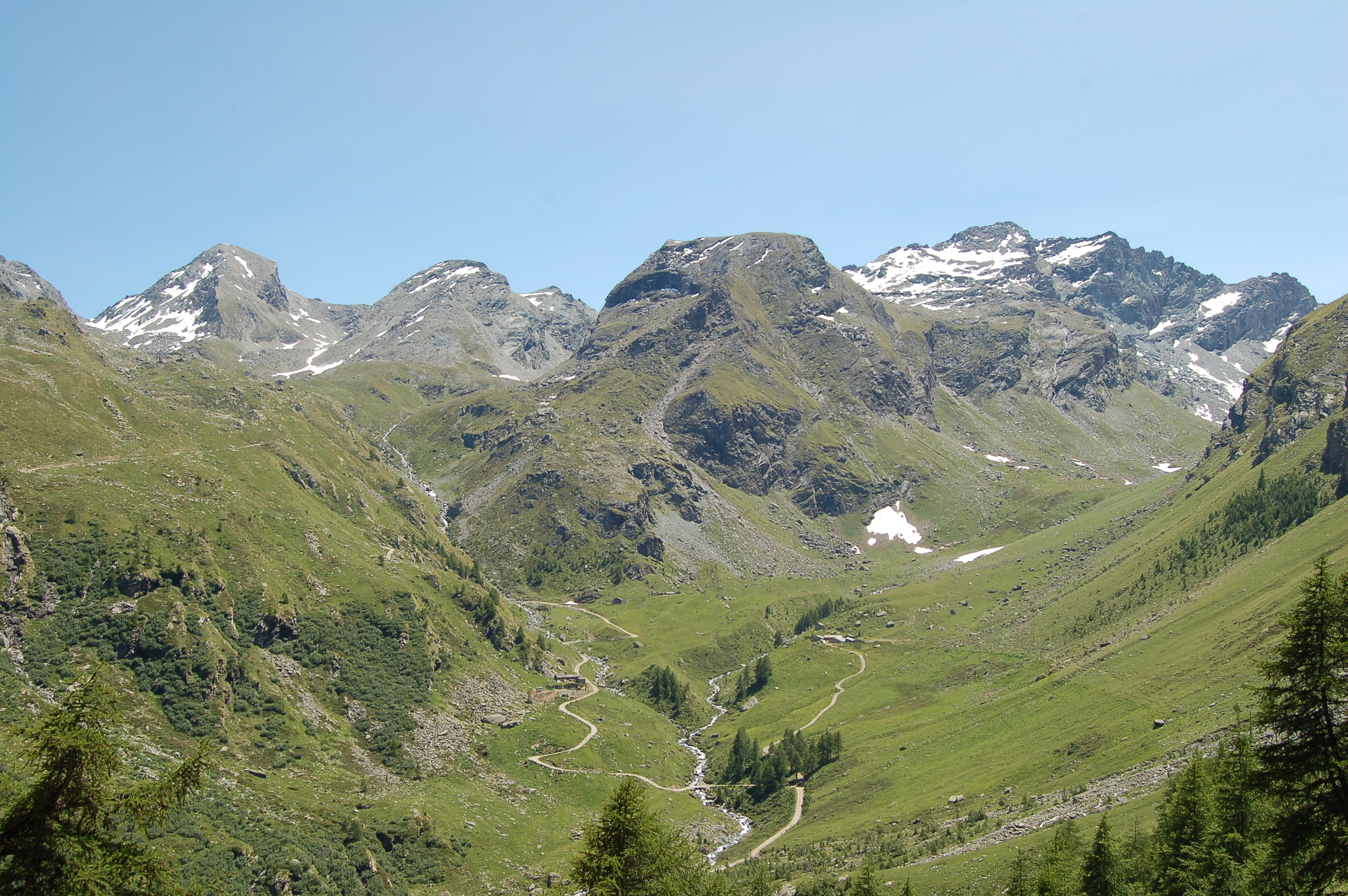
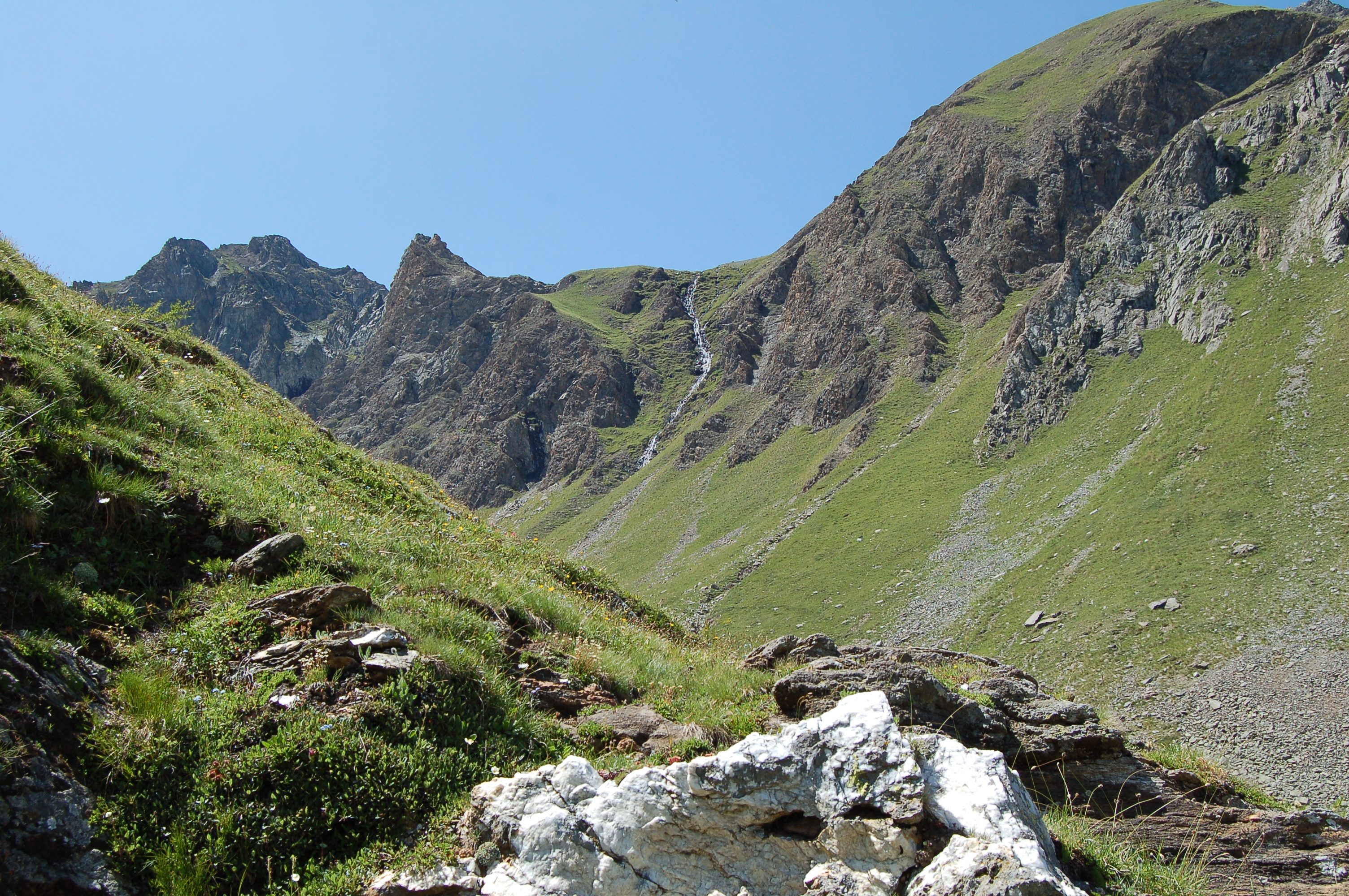
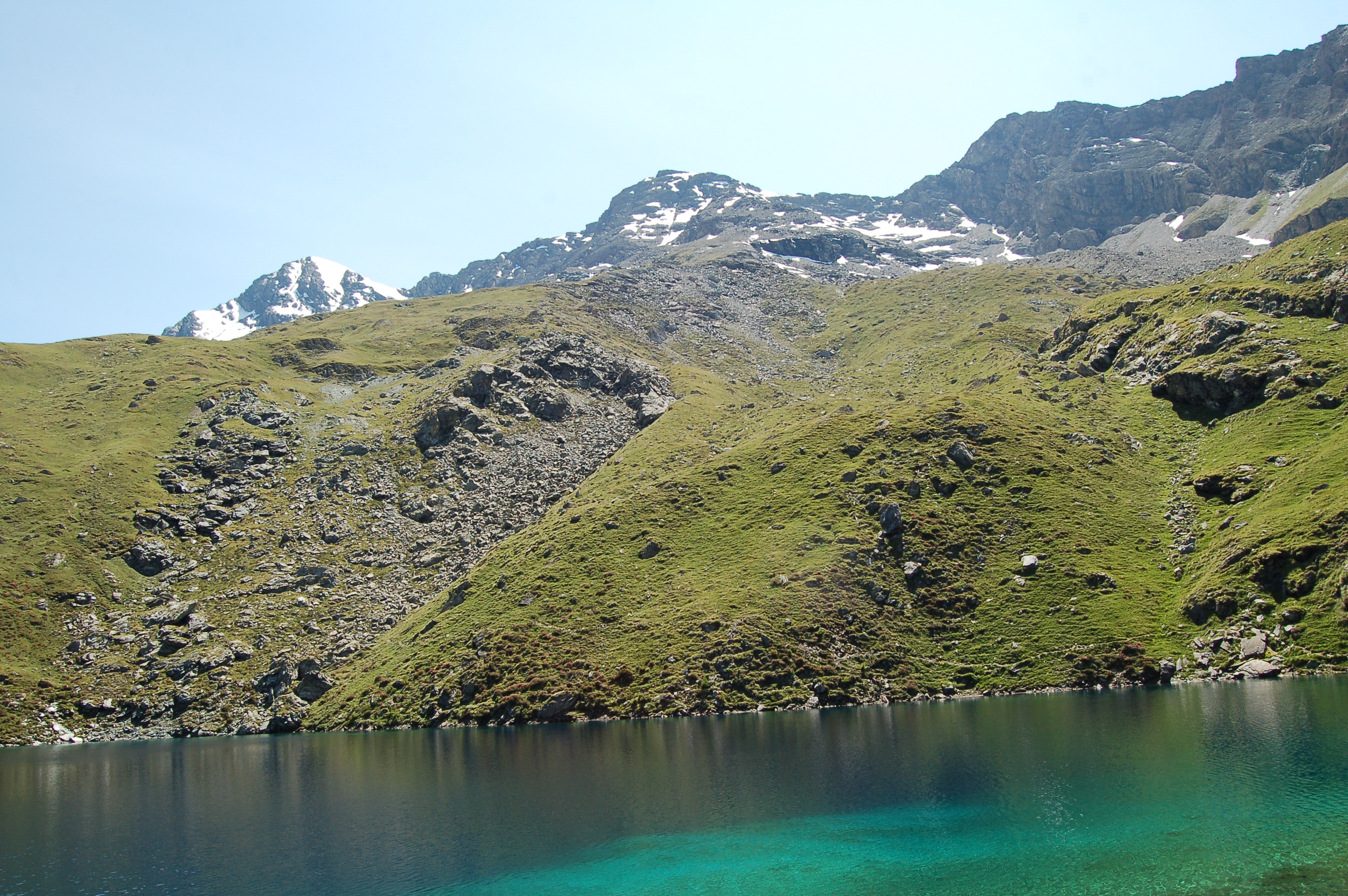
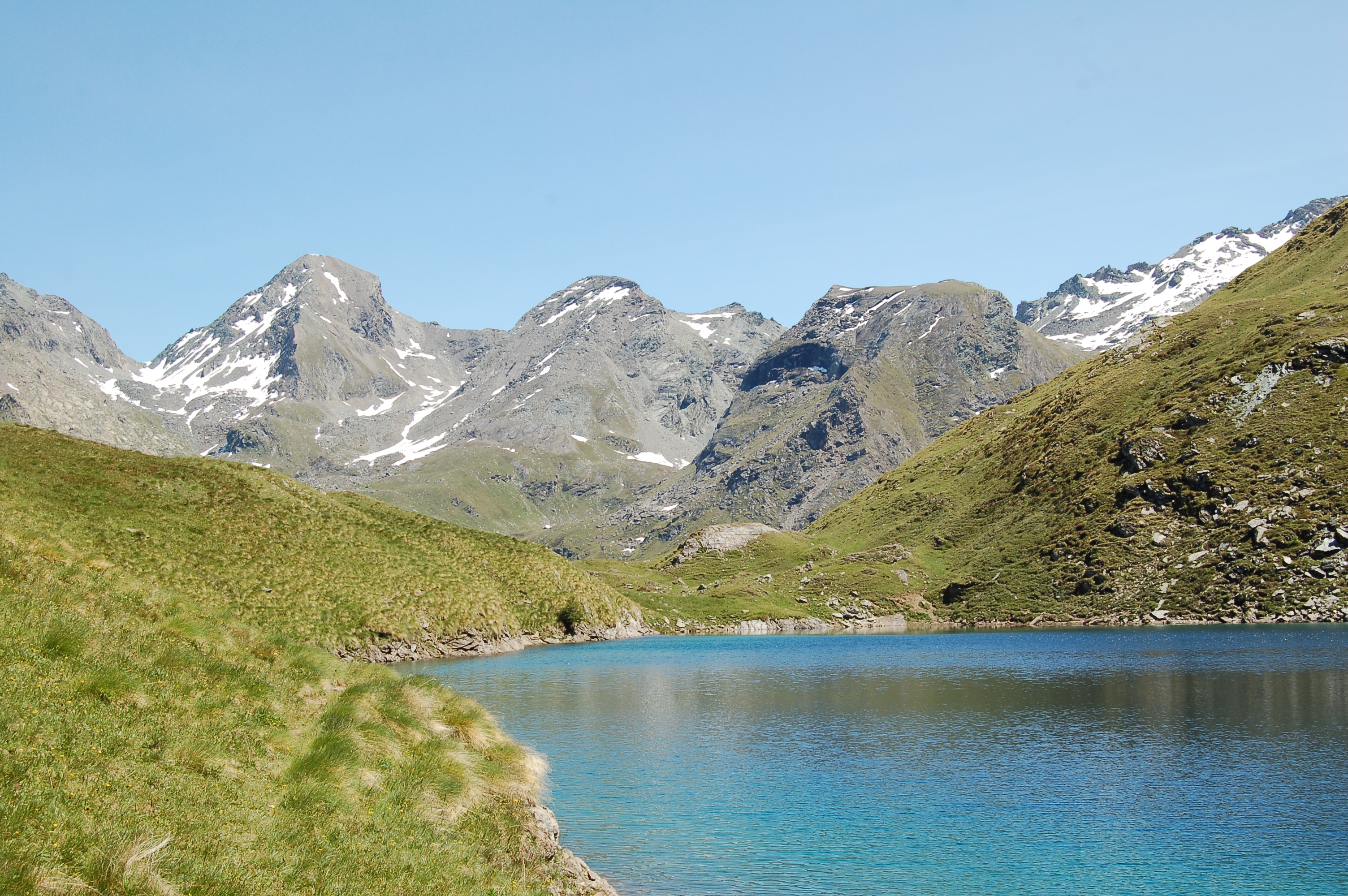
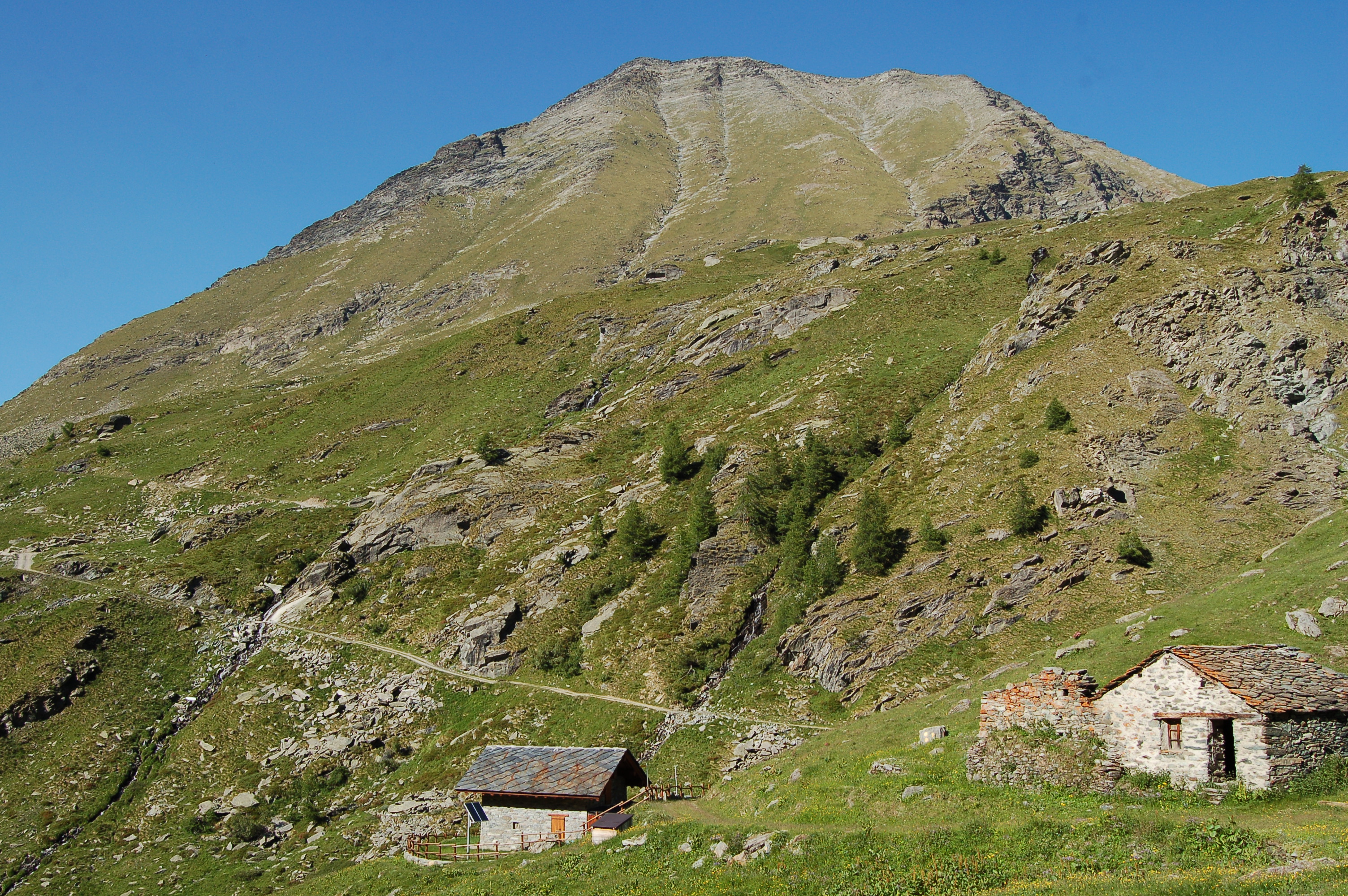
Leaving the car behind, we begin to climb up the dirt road and after a first hairpin bend we come to the cottages of Lovignana and, from the next hairpin bend, begin to climb up the Clavalité Valley. The road climbs a marked slope through a forest of larch (Larix decidua) and spruce (Picea abies). After about ten minutes, the road reduces its gradient and shortly afterwards you come to a signpost indicating the start of the path to Colle di Bella Lana (2501m, 2h45'). Continue ignoring the path just mentioned and continue up the road to another flat section: here you reach some renovated houses in the Marqueron locality (1442m, 0h30') where there is also a covered fountain. After 0h45', the road begins its descent to the beautiful plateau of La Clavalité. At the end of the plateau and its characteristic groups of houses, we come to a fork in the road: we ignore the farm road that continues to the left (it still leads to our destination as well as to Lake Medzove) and take a small road to our right, where a small bridge allows us to cross a stream. The signpost shows Grand Alp (2129m, 1h 30'). Leaving the last houses of Celey (1570m), we begin to climb up a paved mule track, leaving on our right the beautiful little waterfalls generated by the impetuousness of the Torrent de Clavalité. As you walk along the paved mule track, you have to make a few short detours from the path due to landslides generated by the floods of 2000. After 1h35' of walking, the path leaves the forest and joins the previously neglected farm road. We now follow the farm road and are accompanied along the way by the sound of the waters of the torrent, and we cannot fail to admire the massive silhouette of Punta Tersiva. Slowly we leave the forest and after 1h 50' cross the stream on a tube bridge and from here onwards climb up its orographic left-hand side. Leaving the ruins of Meney (1949 m, 2h05') on our right, we reach after 2h10' a marker indicating the Lavodilec Lake: path 0h45'. We thus turn right and begin to climb up the pastures on a not very evident track: the actual departure of the path is from Grand Alp but with this variant we save a little road. Having skirted, with a series of hairpin bends, a small stream, the path tends to the right, towards the valley floor and then joins the path coming from Grand Alp (2h 30'): not to be missed in this section is the view of the Cervino. Continuing the ascent, the path veers slightly to the left until it reaches the Lavodilec alpine pasture (2262 m, 2h45'). By now the lake is close, we ascend the high pastures leaving a beautiful waterfall on the right. Go up the path that leads to the Lavodilec pass and, at a ford on the stream, turn left and in a few minutes you can admire the crystal-clear green colour of its waters, which make it truly enchanting. The return trip follows the same route as the outward journey.
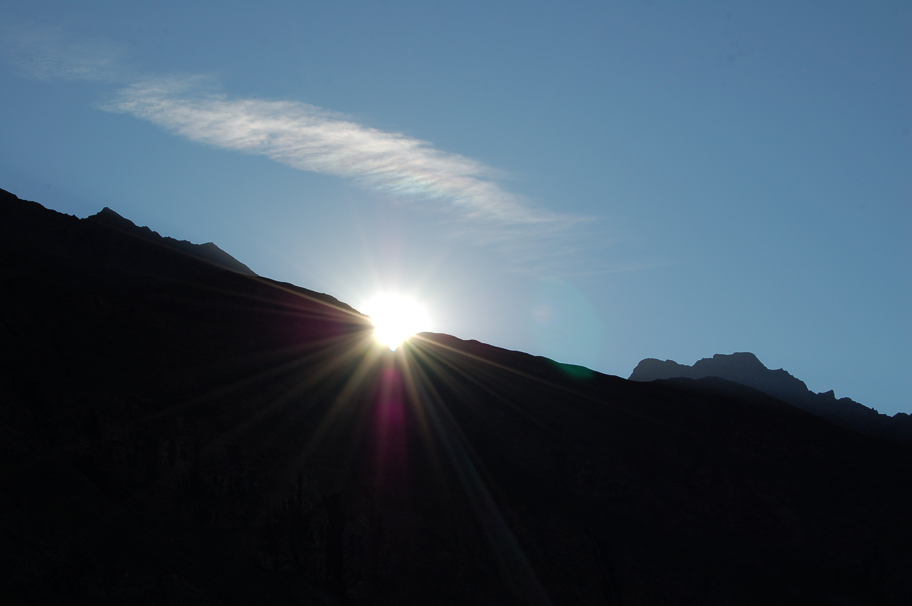
Photo gallery
The dirt road at the start The Pian Clavalité Torrent signpost
The Punta Tersiva The Cervino The Lavodilec Alpine pasture Cascatella before the lake


Comments (0)
Sign in to leave a comment