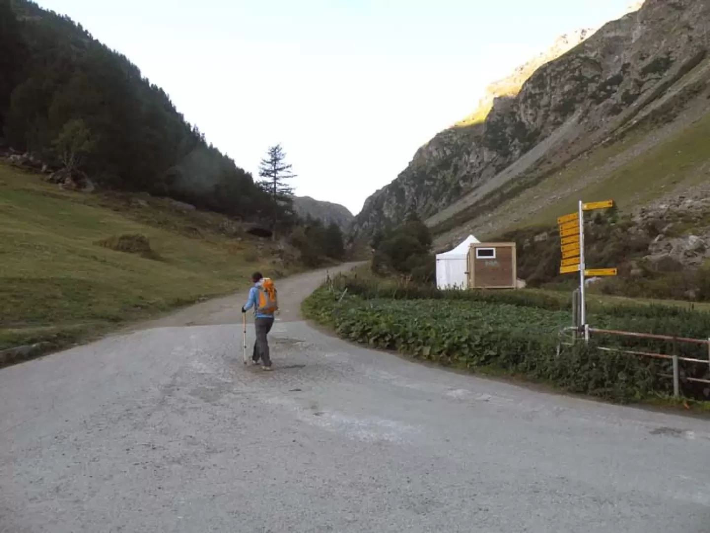
From the Aosta-Ovest motorway barrier on the , keep left following the signs for Aosta - Saint-Pierre. After about 1 kilometre, at the roundabout, take the second exit onto the Strada Statale . Continue on the state road for 4.3 kilometres, passing the village of Saint-Pierre, until you reach a new roundabout marked by the Gran Paradiso National Park effigy. Take the first exit, continuing on the for another 4.2 km until you reach Arvier, where the roundabout is dedicated to cyclist Maurice Garin. At the roundabout, take the second exit and continue on Via Corrado Gex to the village of Leverogne, located 1 km further on. At the Leverogne junction, keep left to take the regional road. Climb the for 15.8 kilometres, passing the main town of Valgrisenche and reaching the village of Bonne. From Bonne, follow the narrow communal road on the orographic left for another 5.9 kilometres up the valley, until, after a short descent, the free car park of Surrier (🅿️), a recommended stopping point to leave your vehicle.
The directions provided have been verified as of the date of the survey of the route. Before departure, it is advisable to check for any changes to the route. For up-to-date and detailed directions, we recommend the use of Google Maps or Apple Maps.
Introduction
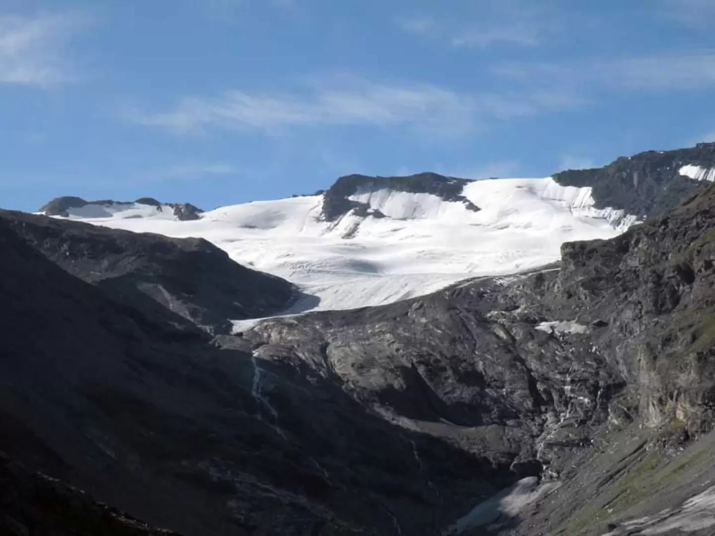
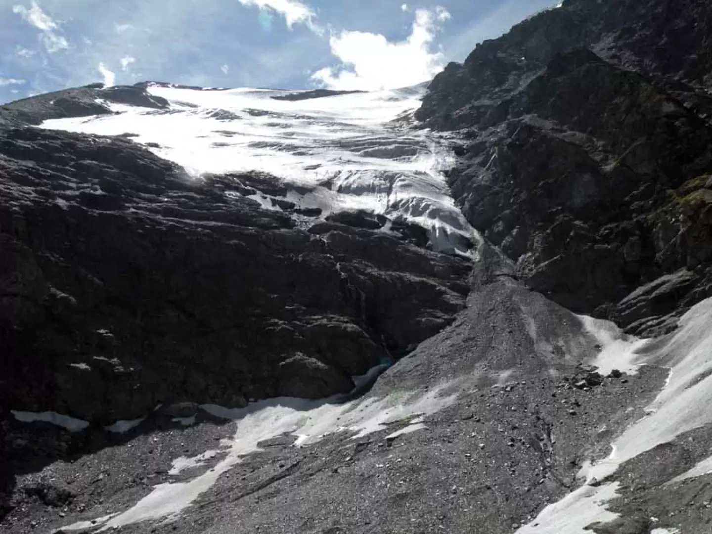
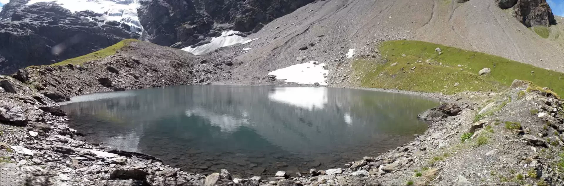
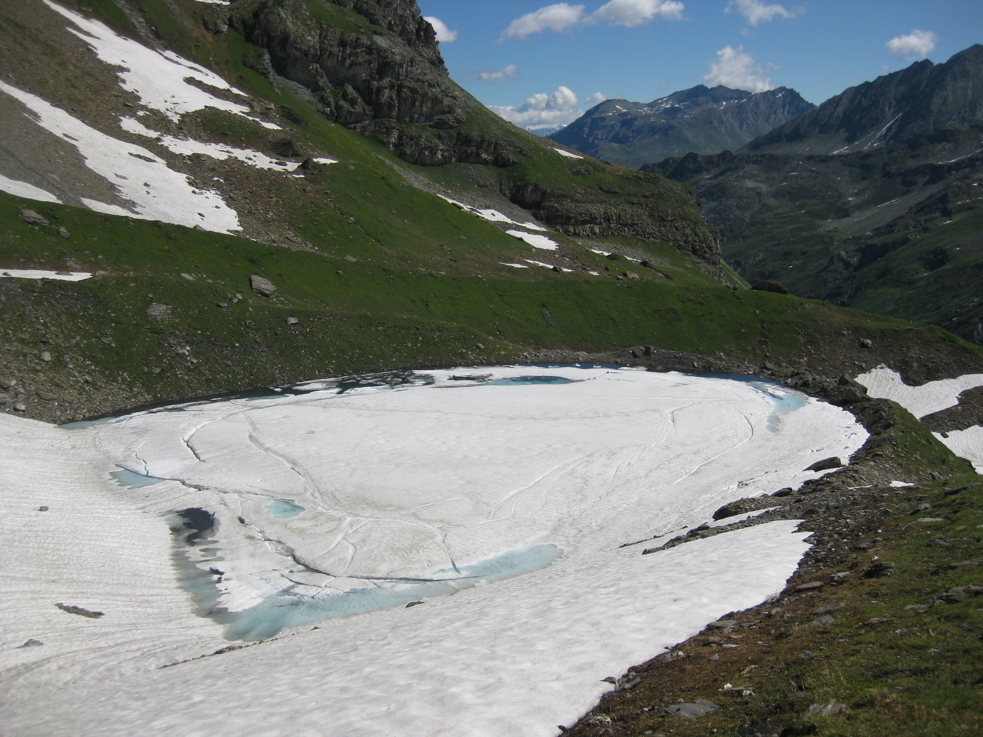
The ascent to this solitary lake of glacial origin, which despite its proximity to the Bezzi hut is not a very popular spot, is characterised, beyond the hut, by the very direct route that runs along the edge of two moraines with slopes that become steeper and steeper until the last short section, which is very steep. During the approach, in addition to the panorama that widens more and more over the upper valley, you pass a short distance to the right of the long terminal tongue of the Plattes des Chamois glacier that ends on the moraines below.
Description
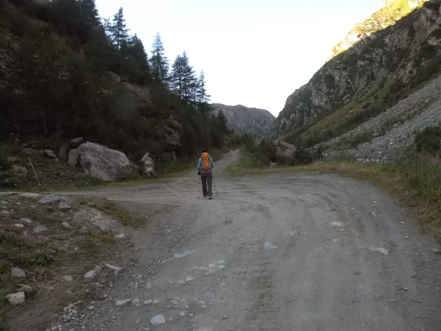
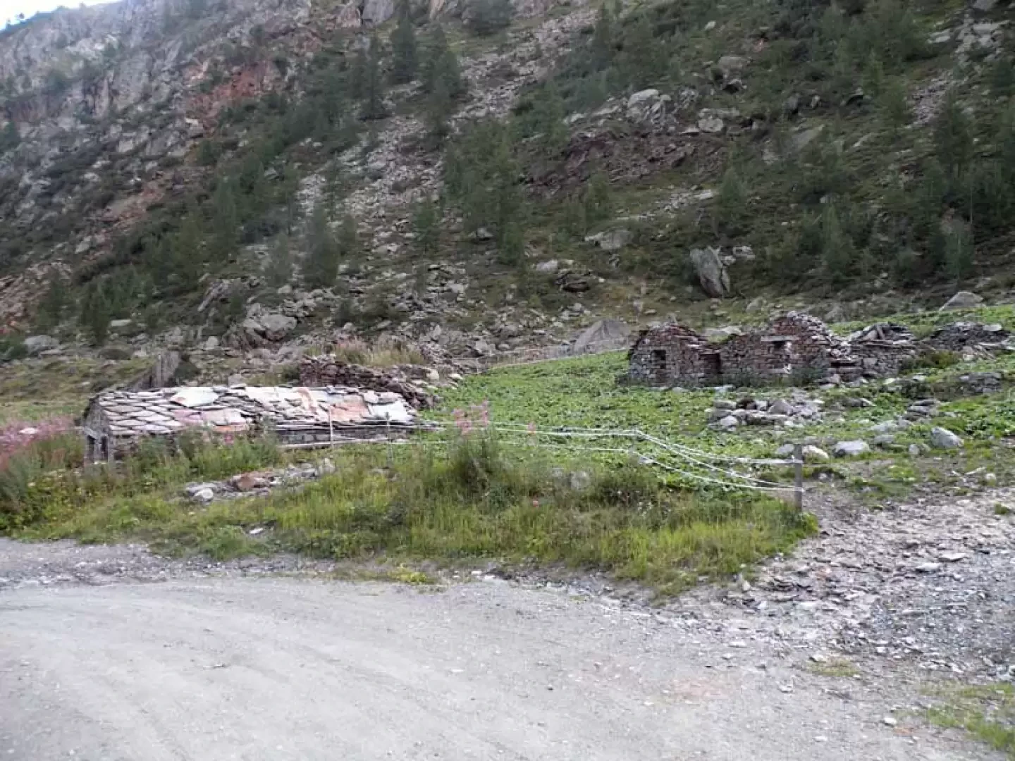
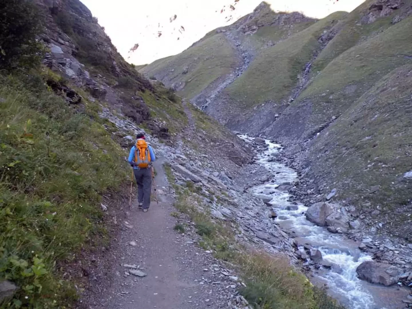
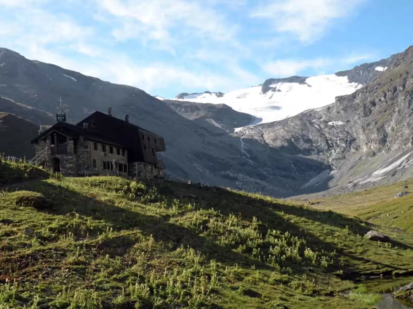
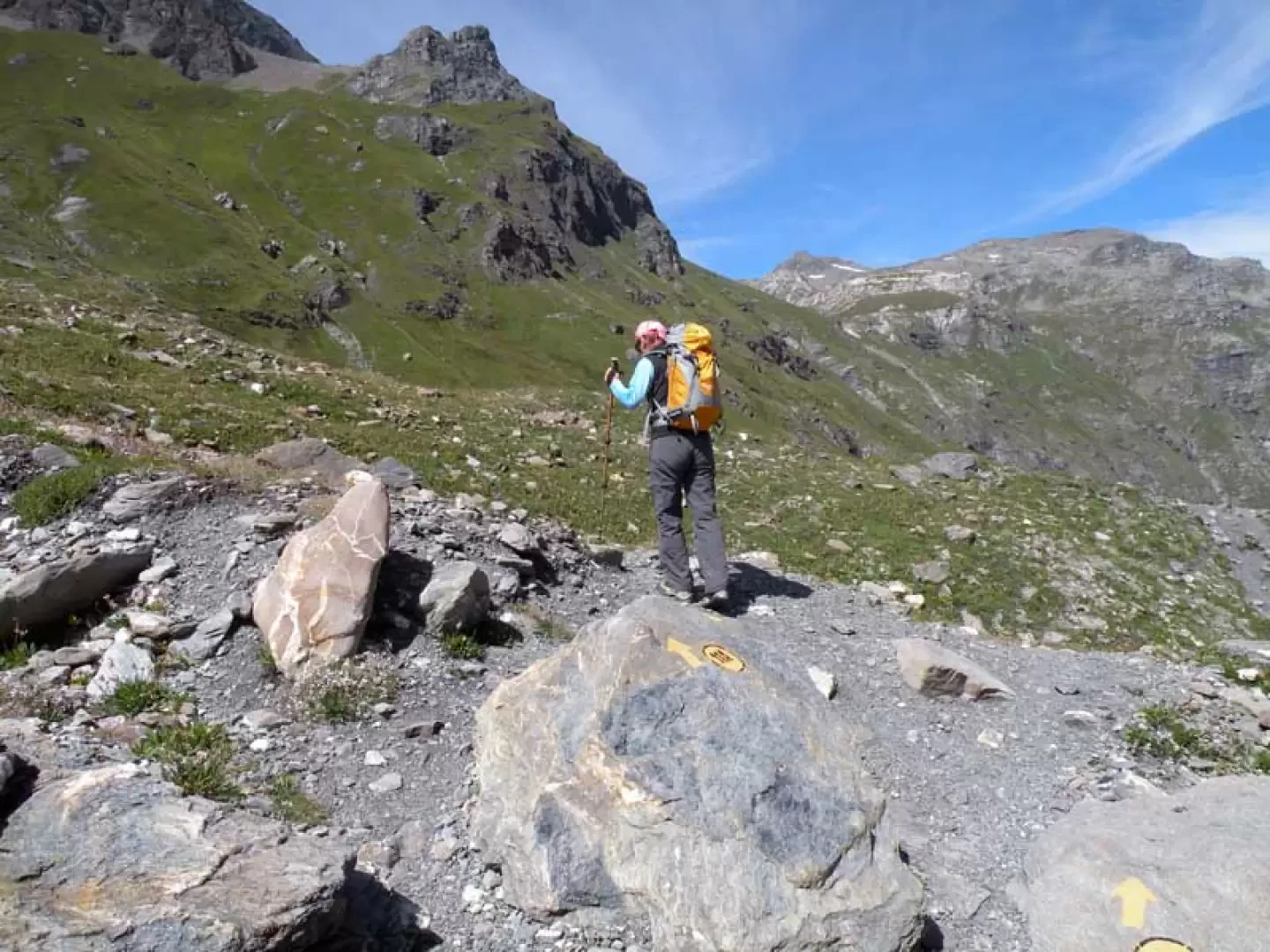
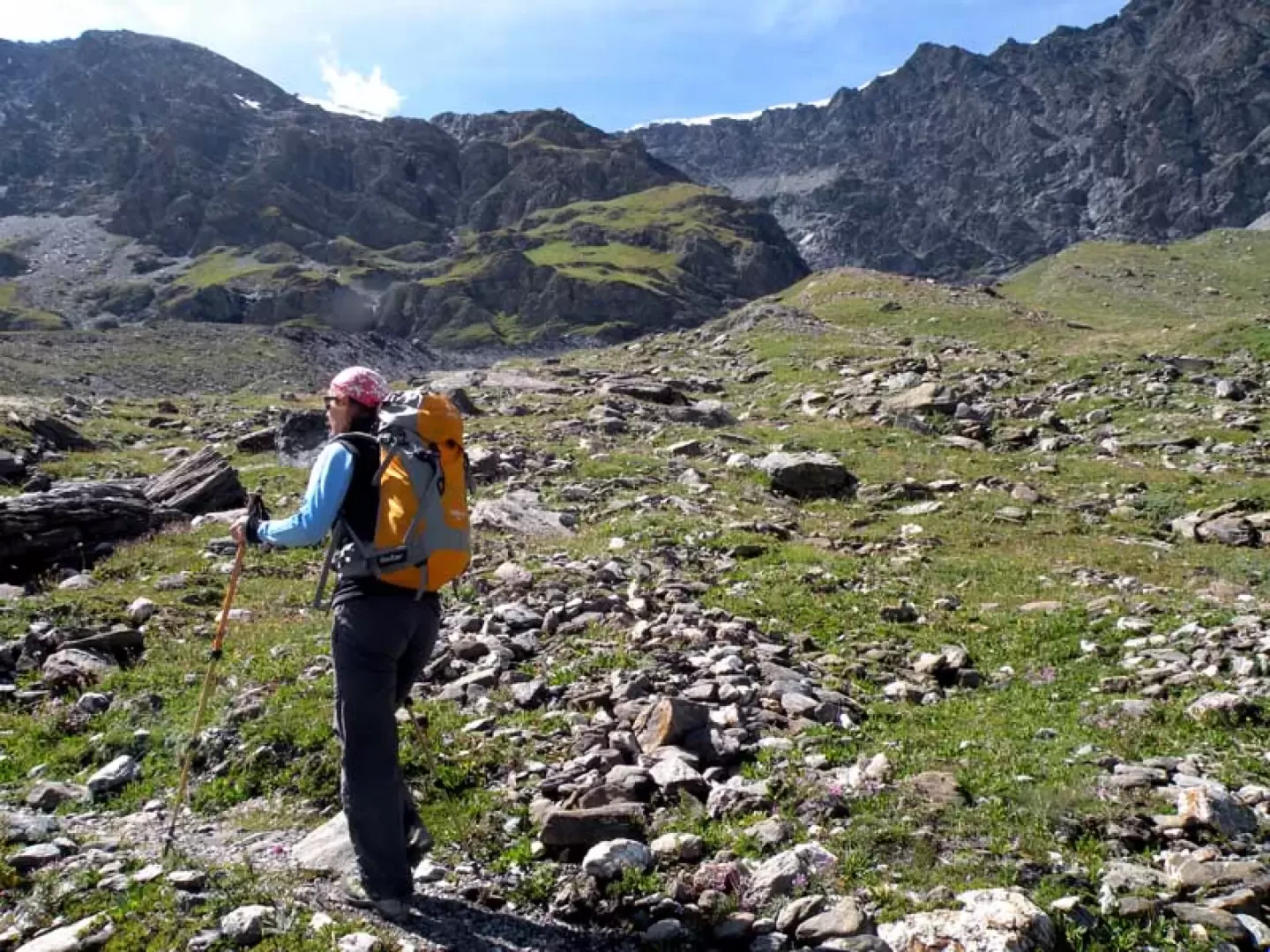
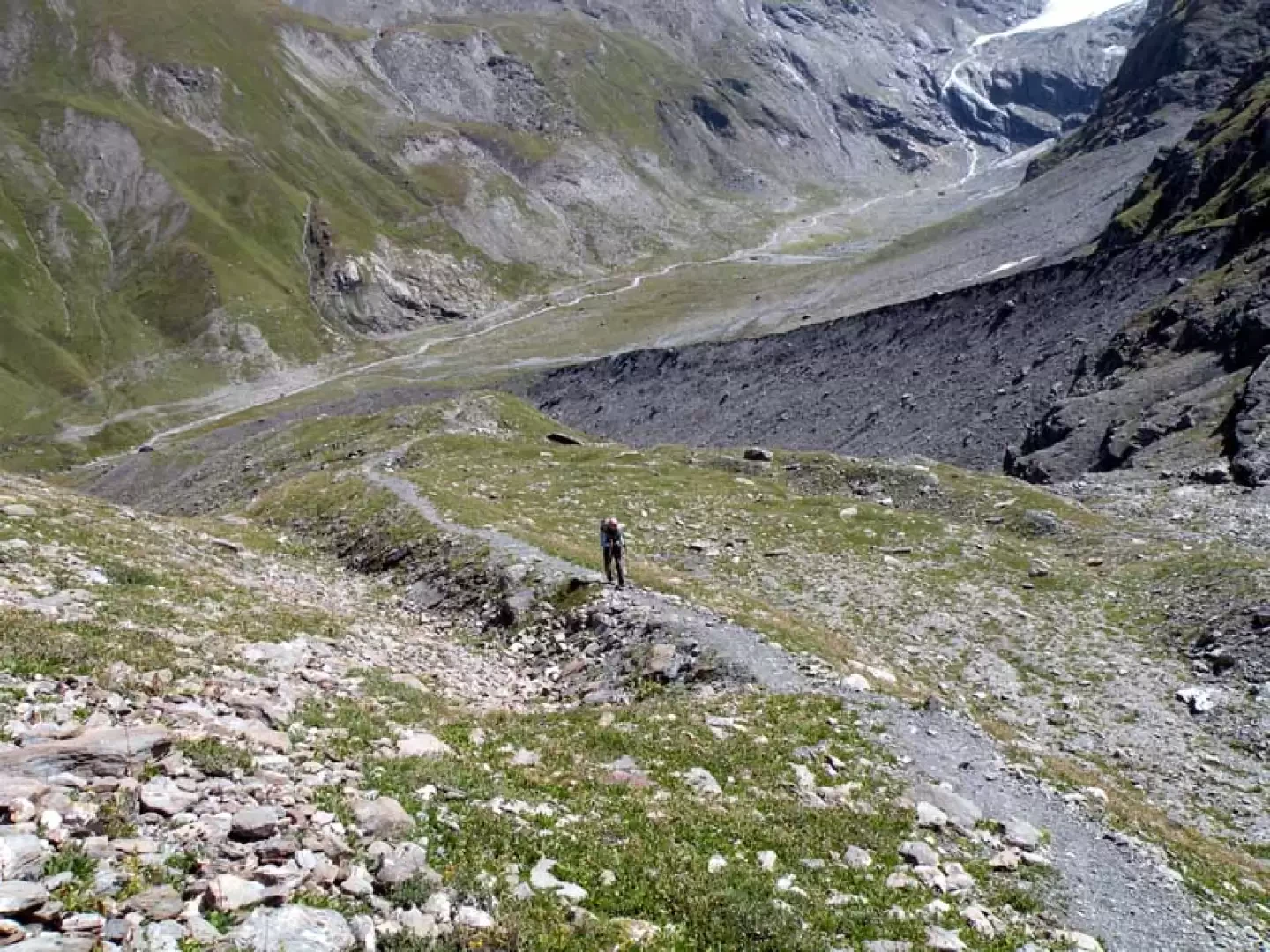
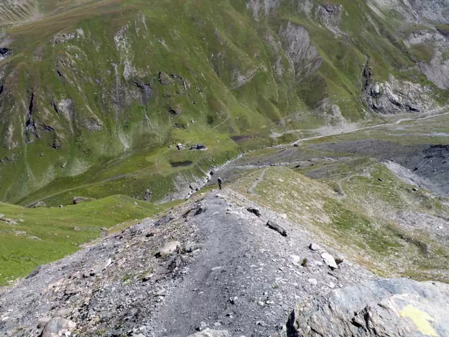
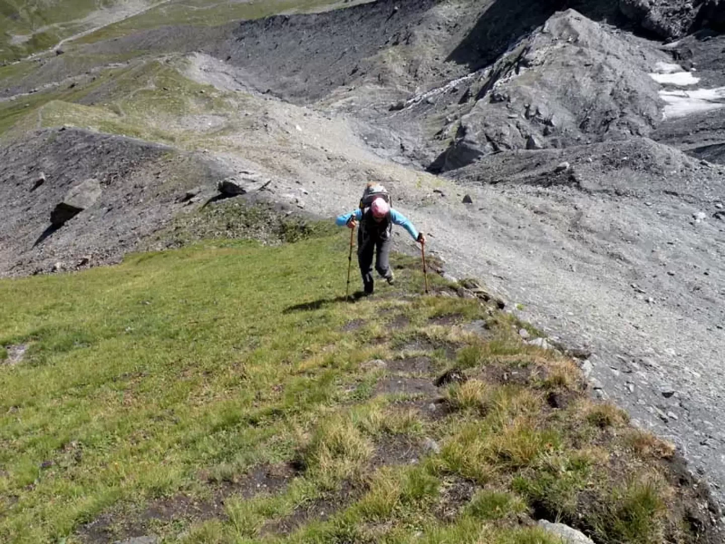
From the car park, reach the hiking route signs and start to climb up the dirt track, almost immediately coming to a fork (1865 m) where, ignoring the road branch off to the left, continue towards the central valley. Walking slightly uphill, you arrive at the old pastureland of Tsalé (1938 m), which you leave to the left and continue along an almost straight path until you come to a fork (2026 m), where a small road descends to the right and a path begins in front of you. Take this path and continue along the hillside just above the torrent, passing under the steep slopes of the mountain, arriving in sight of a cableway pylon. When you reach it, you are now only a few dozen metres from the Bezzi hut (2286 m), which is only visible at the last moment and can be reached in a few minutes. From the hut, reach the signposts just beyond it and, following the indications of the itinerary, head slightly to the right to descend towards the torrent, which you cross on a small wooden bridge; after crossing it, follow the path that, after crossing a stream, reaches a junction well indicated by yellow marks (2294 m) at which you turn left and, after having left a track on the right that comes off at an altitude of 2338 m, with a few bends it heads towards a first long grassy moraine. Go up its edge and when the slope decreases, deviate slightly to the right and take the edge of a second moraine that is steeper than the previous one and also a little more airy; almost at its end, go up a last, very steep section on grassy sods that arrives at the high edge of the lake's containment basin, which is reached with a short, easy descent to the right.


Comments (0)
Sign in to leave a comment