


Edited by:
Ermanno Panara
Monday 25 July 2011
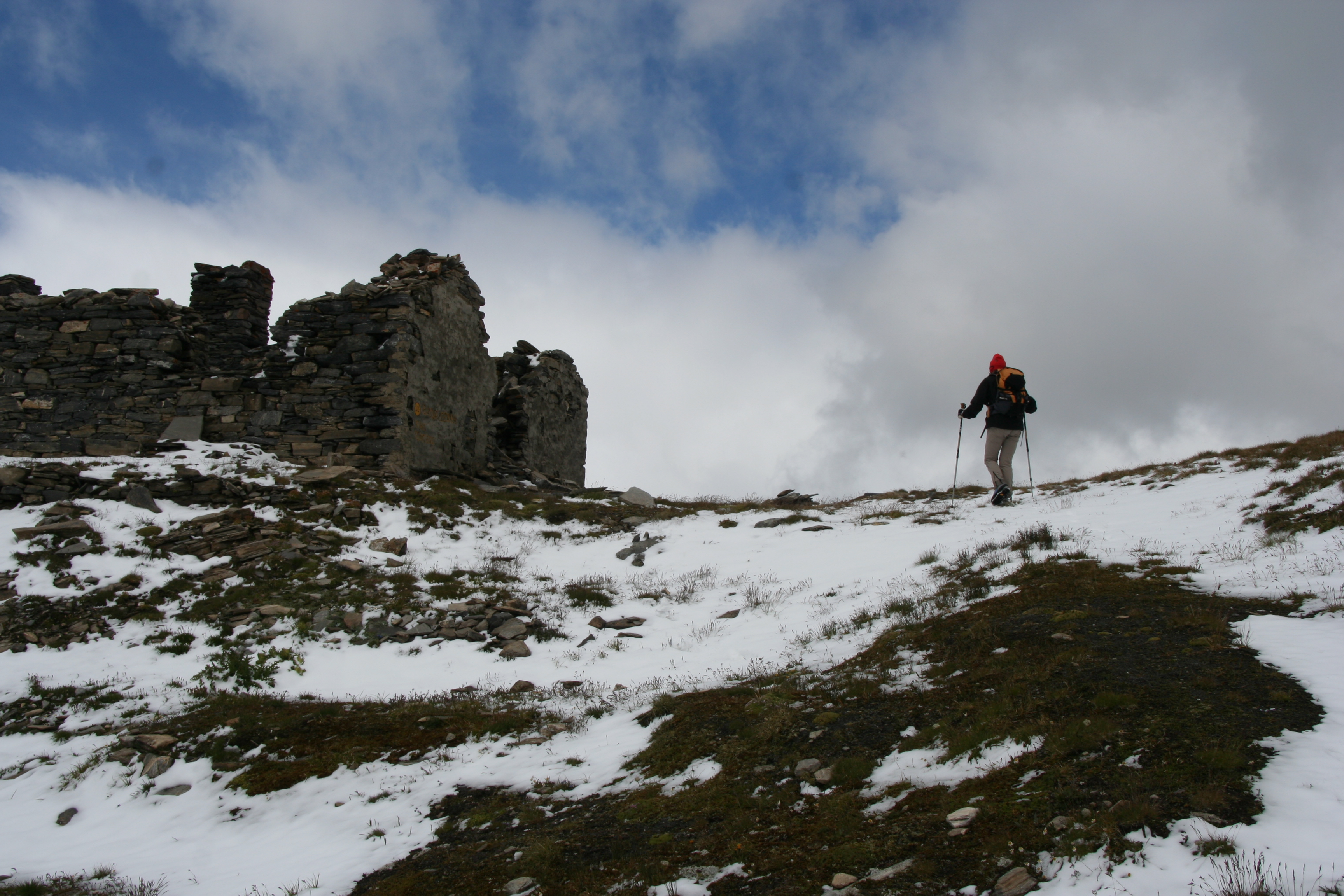
Colle di Bassa Serra
Gita invernale, nonostante la data (24 luglio, ma guardate le foto). freddo intenso, vento e nevischio; schiarite solo al ritorno. Il primo tratto di sentiero, nella vallata ricca di alpeggi, risente delle abbondanti piogge, ma soprattutto del passaggio delle moltissime mucche al pascolo; i sentieri in basso sono ridotti a fangosi e maleodoranti acquitrini. I sentieri e le indicazioni si perdono a causa non delle mucche, ma di chi non ha nessun interesse a mantenerle tali; nessuna palina se non dopo gli alpeggi, pochi numeri tracciati sui sassi, inesistenti o rimossi nei punti chiave. Risultato: ricerca affannosa del sentiero nonostante la cartina, trovato, appunto, dopo gli ultimi alpeggi. Anche le paline ci mettono del loro; alla partenza vengono indicate tre ore; a giudizio di tutti i partecipanti, che non sono proprio dei dormiglioni, manca almeno un'ora; le tre ore sono state raggiunte solo al ritorno con un passo decisamente veloce. Avvistamenti faunistici: Aquila chrysaetos, Falco pellegrino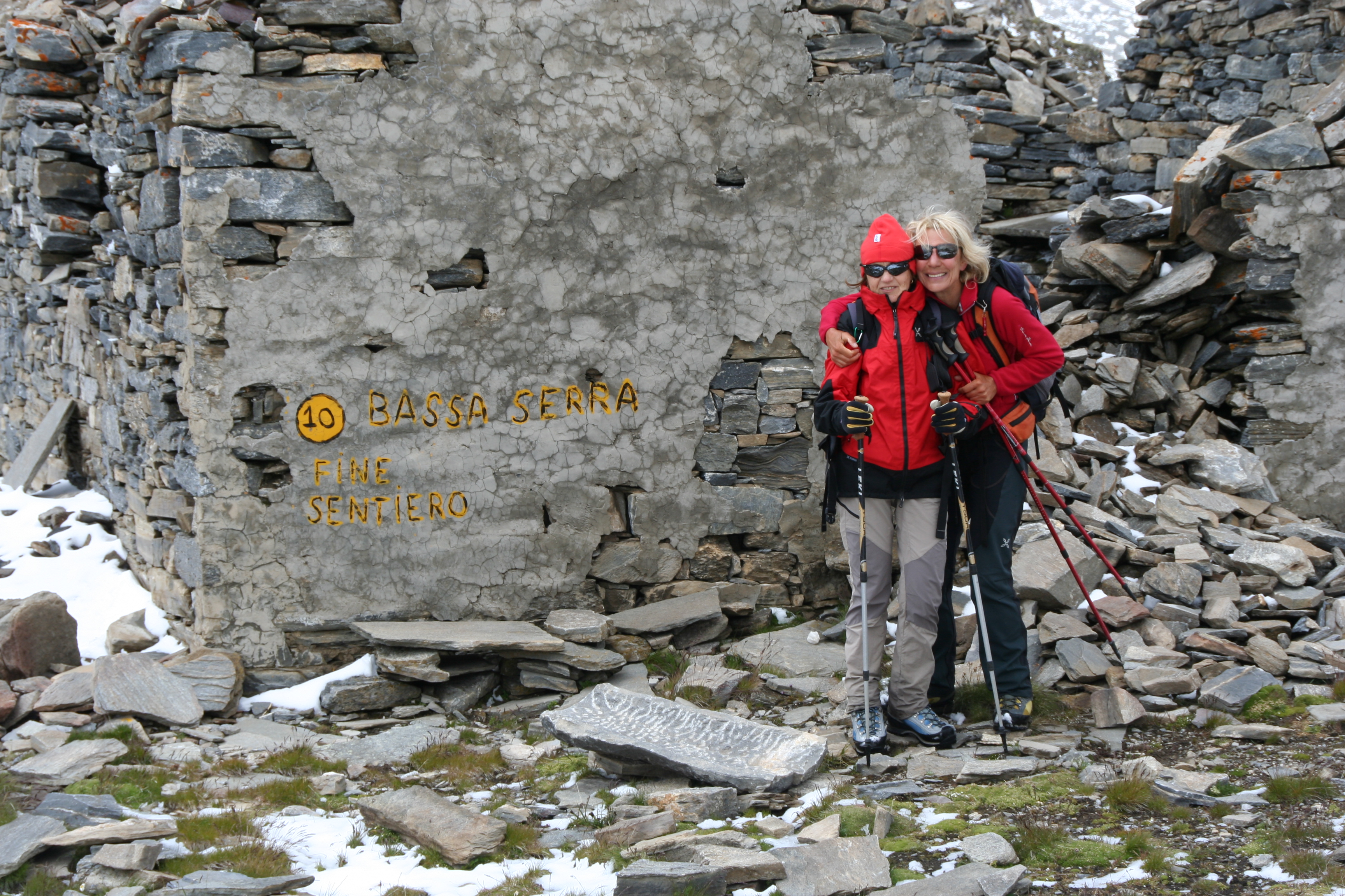
Comments (0)
New comment added!
Sign in to leave a comment
No comments yet. Be the first to comment!
Comments (0)
Sign in to leave a comment