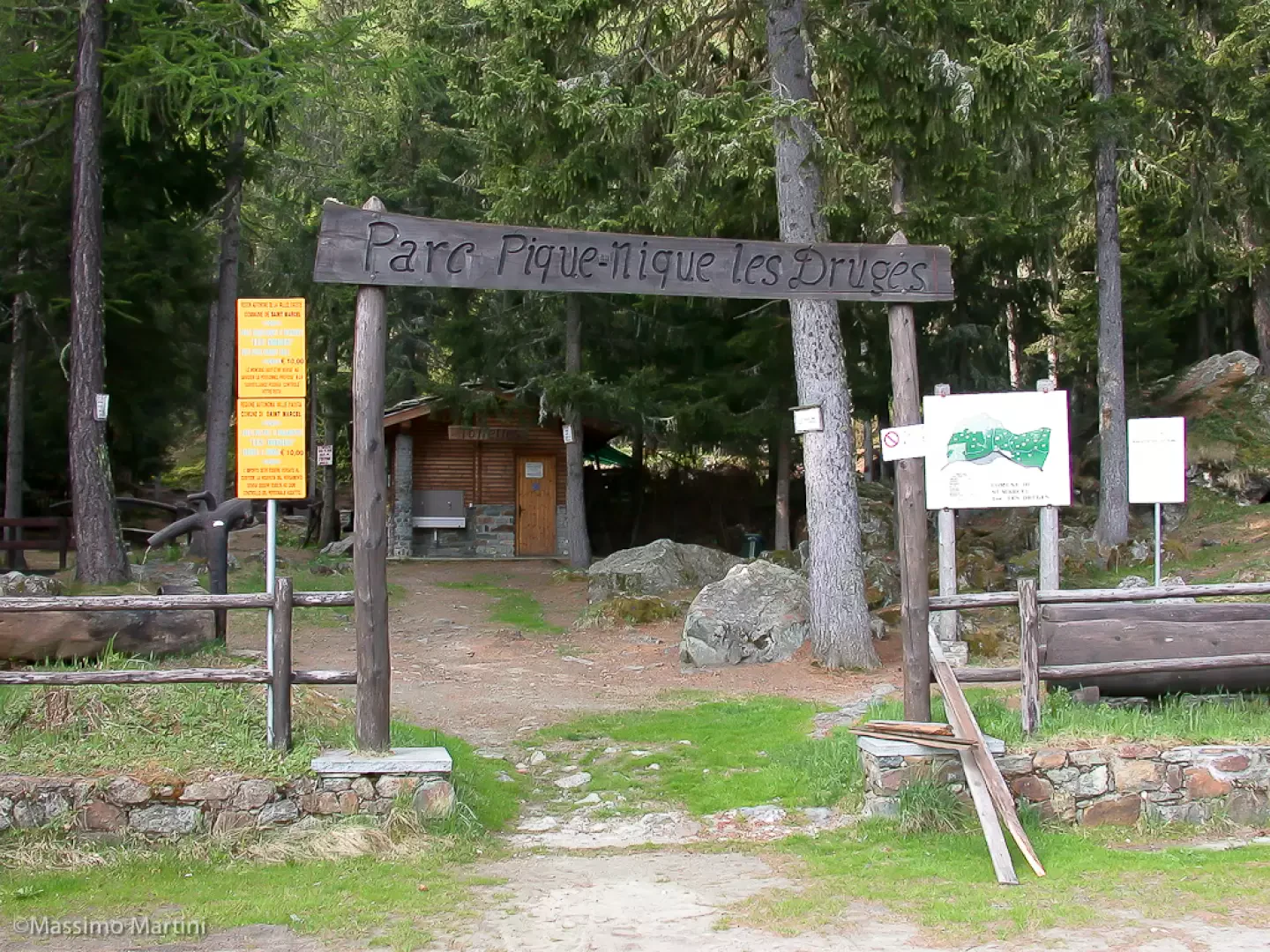
Leave the motorway at the Nus exit. Continue in the direction of Nus: after 800m take the road in the direction of Aosta. After 3.8km, turn left in the direction of Saint-Marcel, cross the bridge over the Dora Baltea and continue, first following the signs to the centre of the village and then in the direction of the Plout Sanctuary. The road winds its way up through the woods until, after 20.2km, you reach the picnic area: here you can safely park your car in a large car park.
Introduction
Beautiful walk to discover the Saint-Marcel valley. A journey amidst ancient mining deposits and a hunting reserve that have kept the area unaltered over the years.
Description
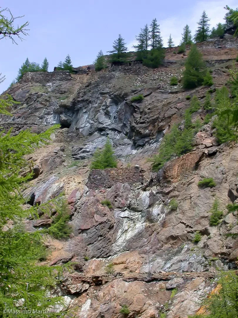
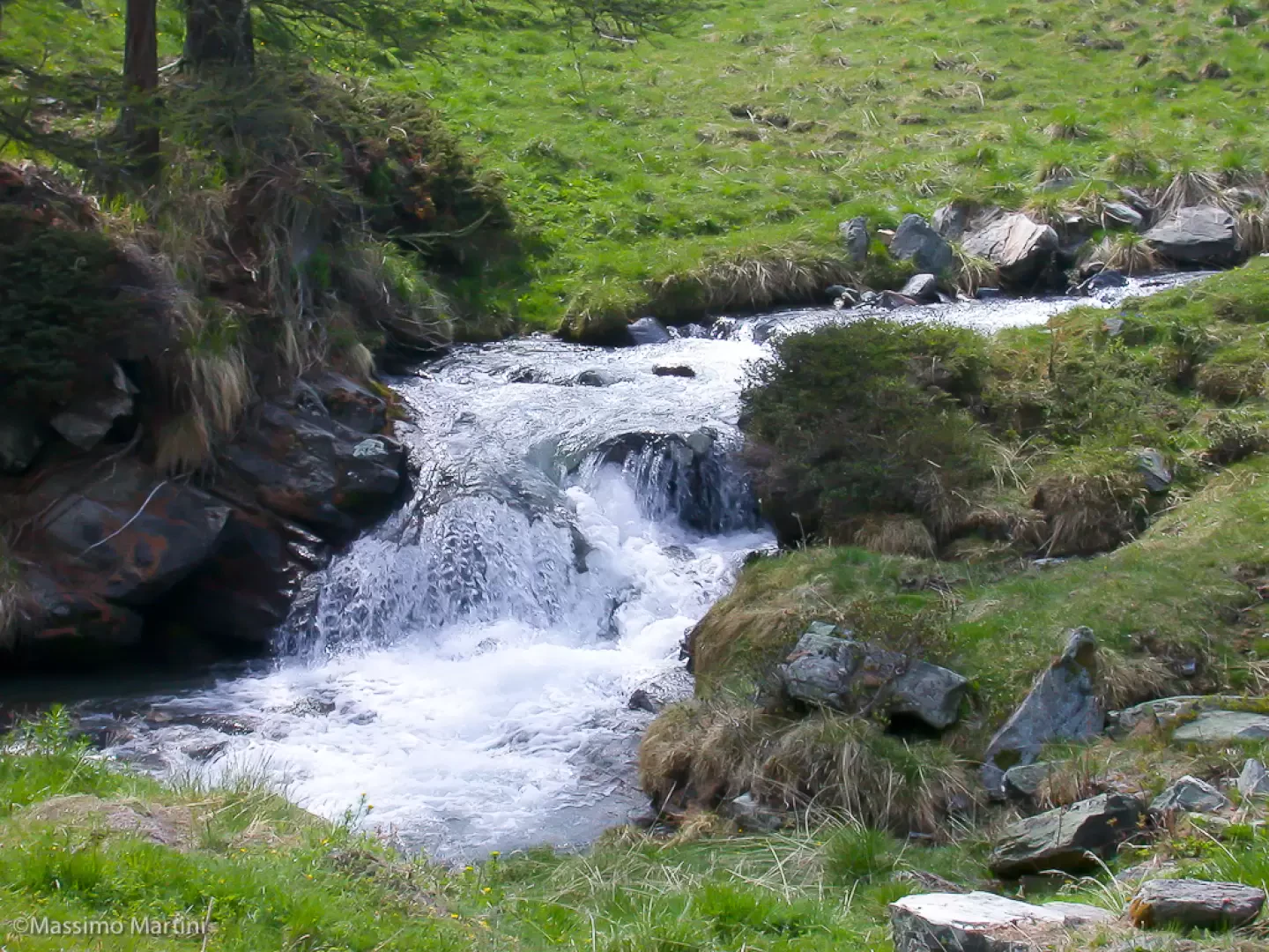
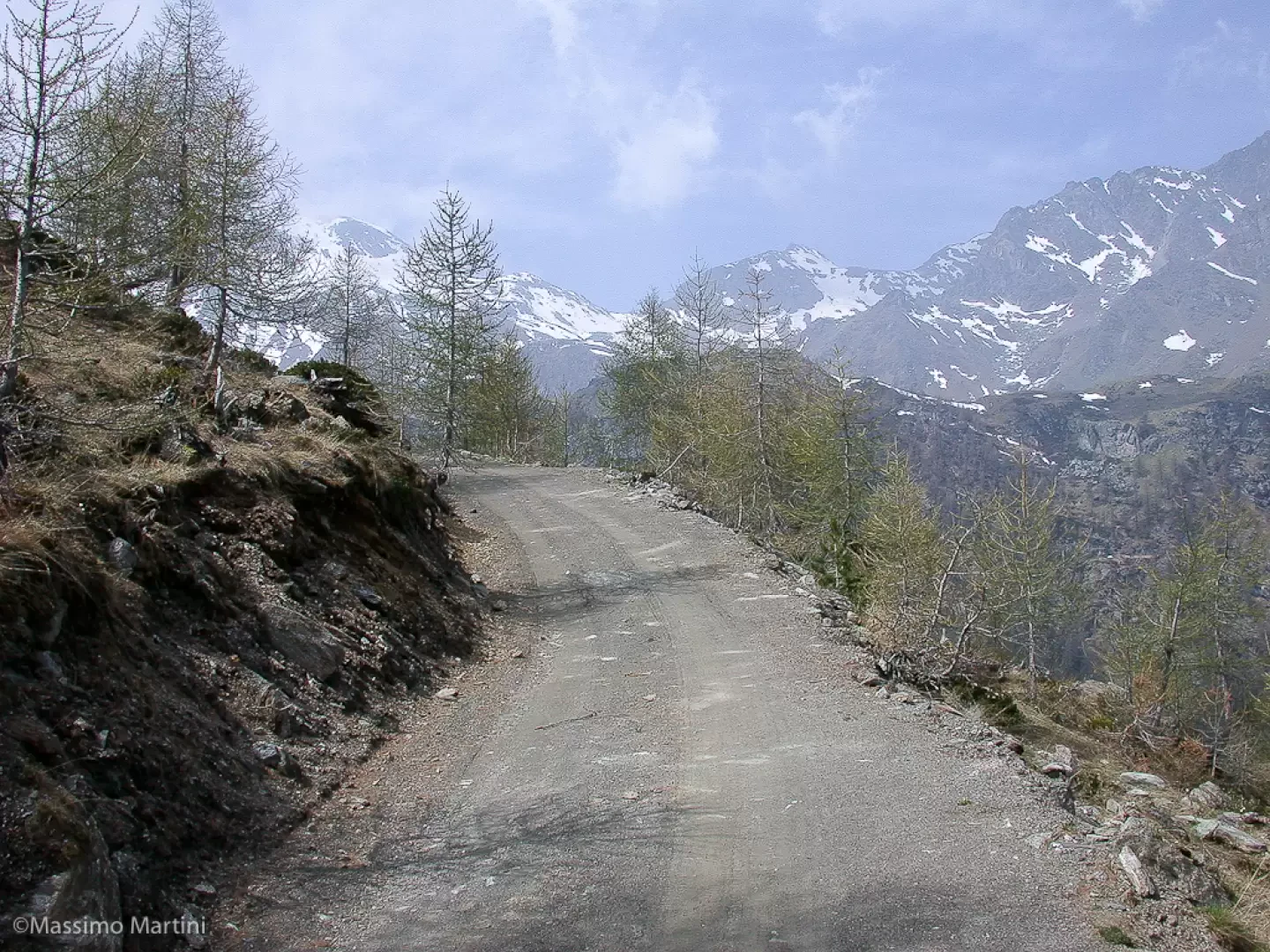
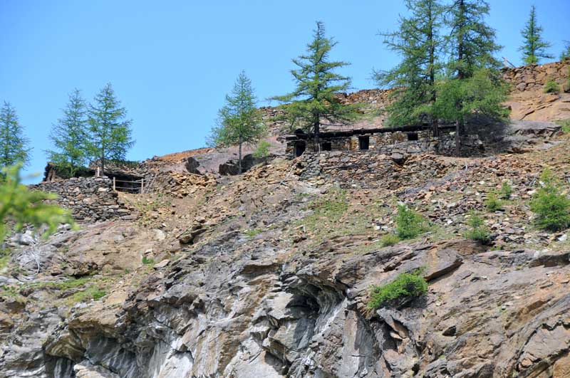
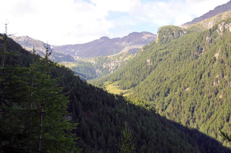
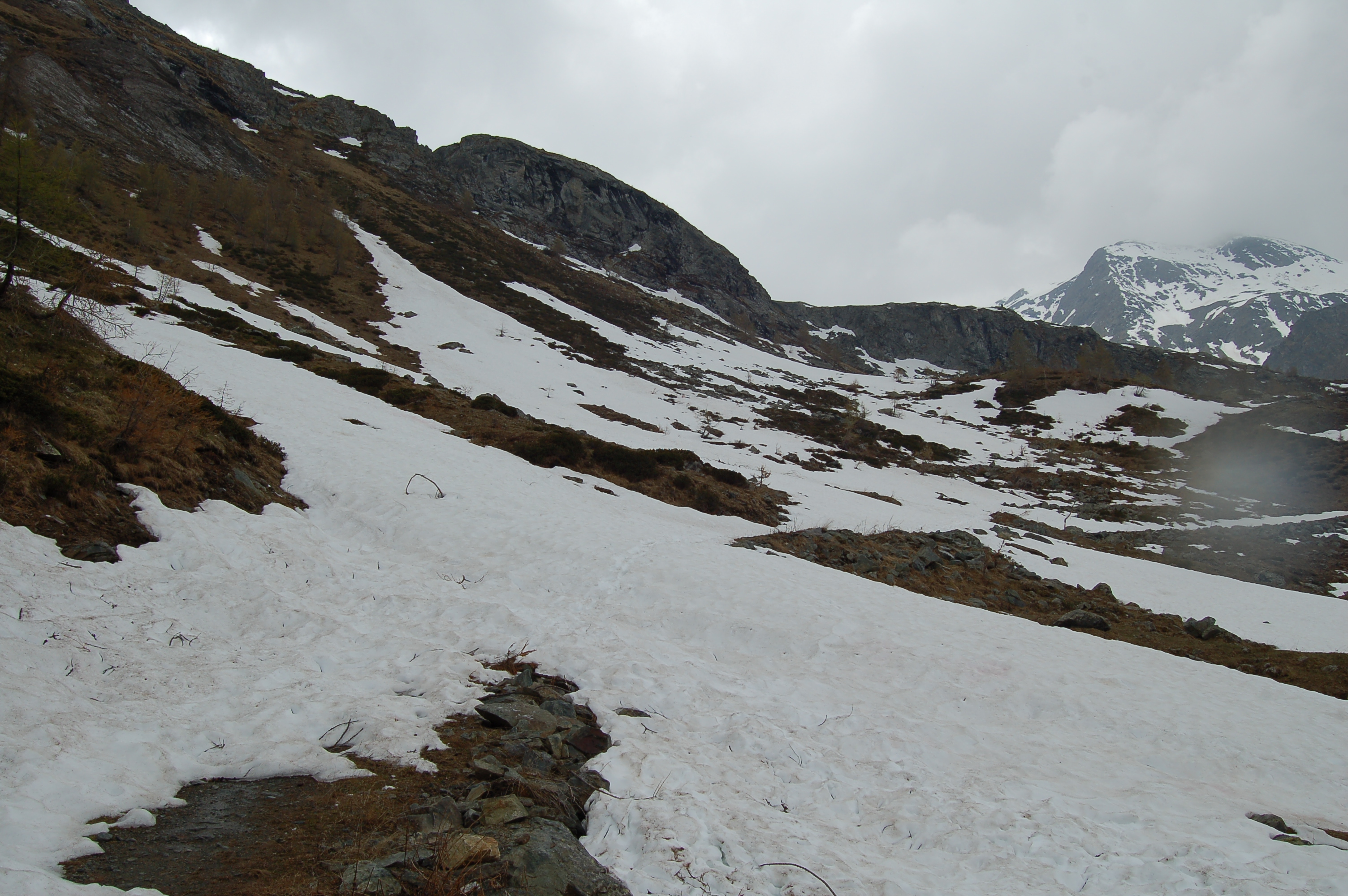
0h00' Leaving the car, take a farm road that runs alongside the Les Druges picnic area and begins a small descent to the no-transit sign. After the sign, the road climbs up, leaving a couple of alpine pastures on its right: from here there is also an excellent view of the mountains in the central valley, ranging from Becca di Viou to Becca d'Aver. After 5 minutes, you reach a trapezoidal construction used as a shelter for agricultural vehicles. Continue along the farm road until shortly afterwards, reaching the debris drains of the Servette Mine. From here, the road begins to climb again and enters the Saint-Marcel valley, running along its orographic right-hand side. After a fairly steep ascent, the road begins to descend: this section should be taken with care, as there is a possibility of stones falling from the Servette mine (1819 m) above.
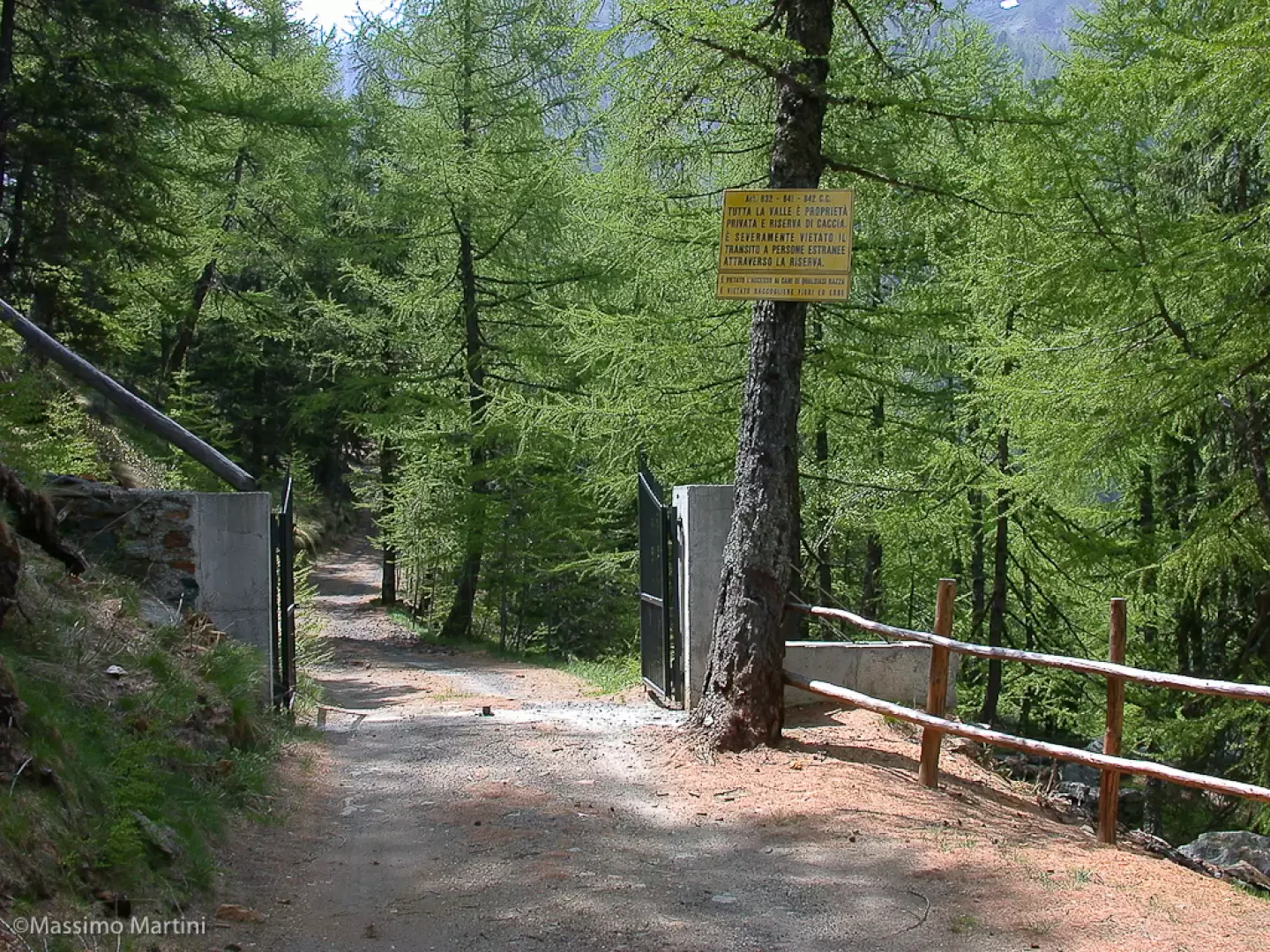
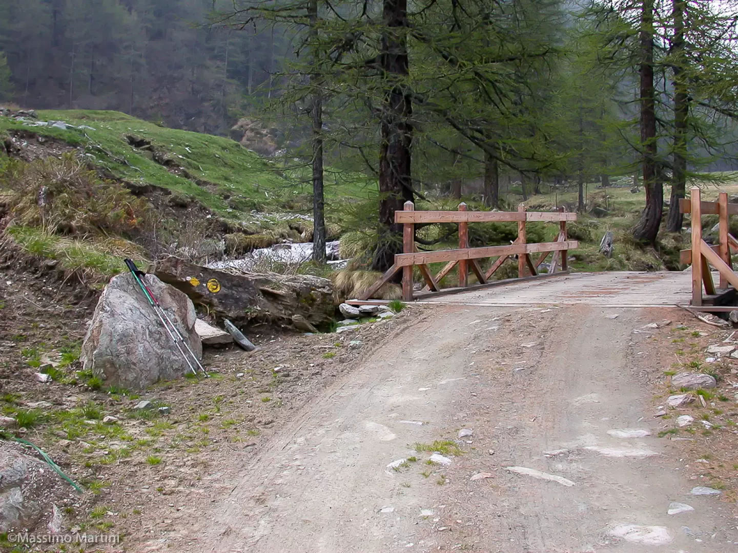
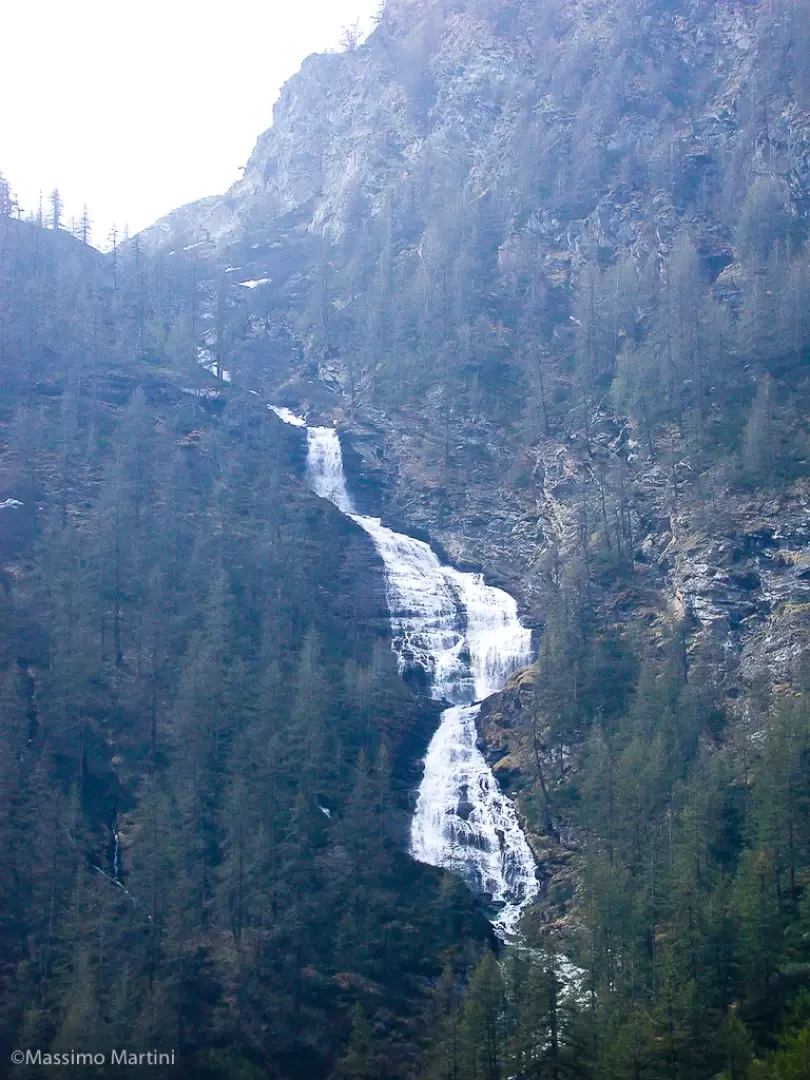
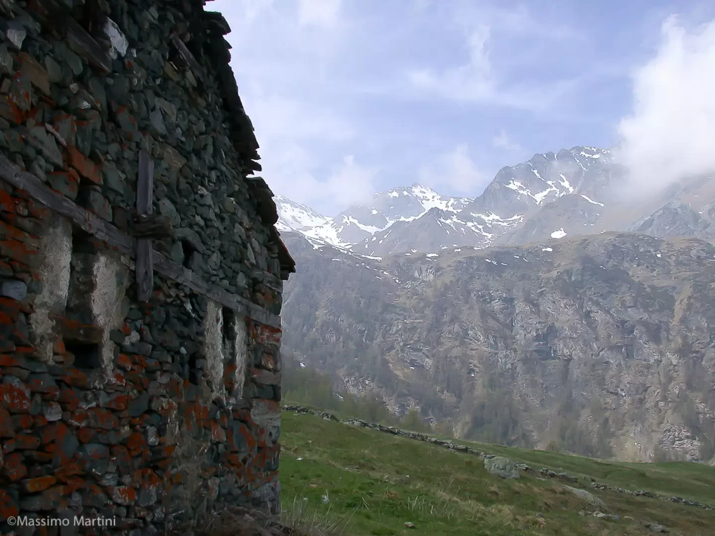
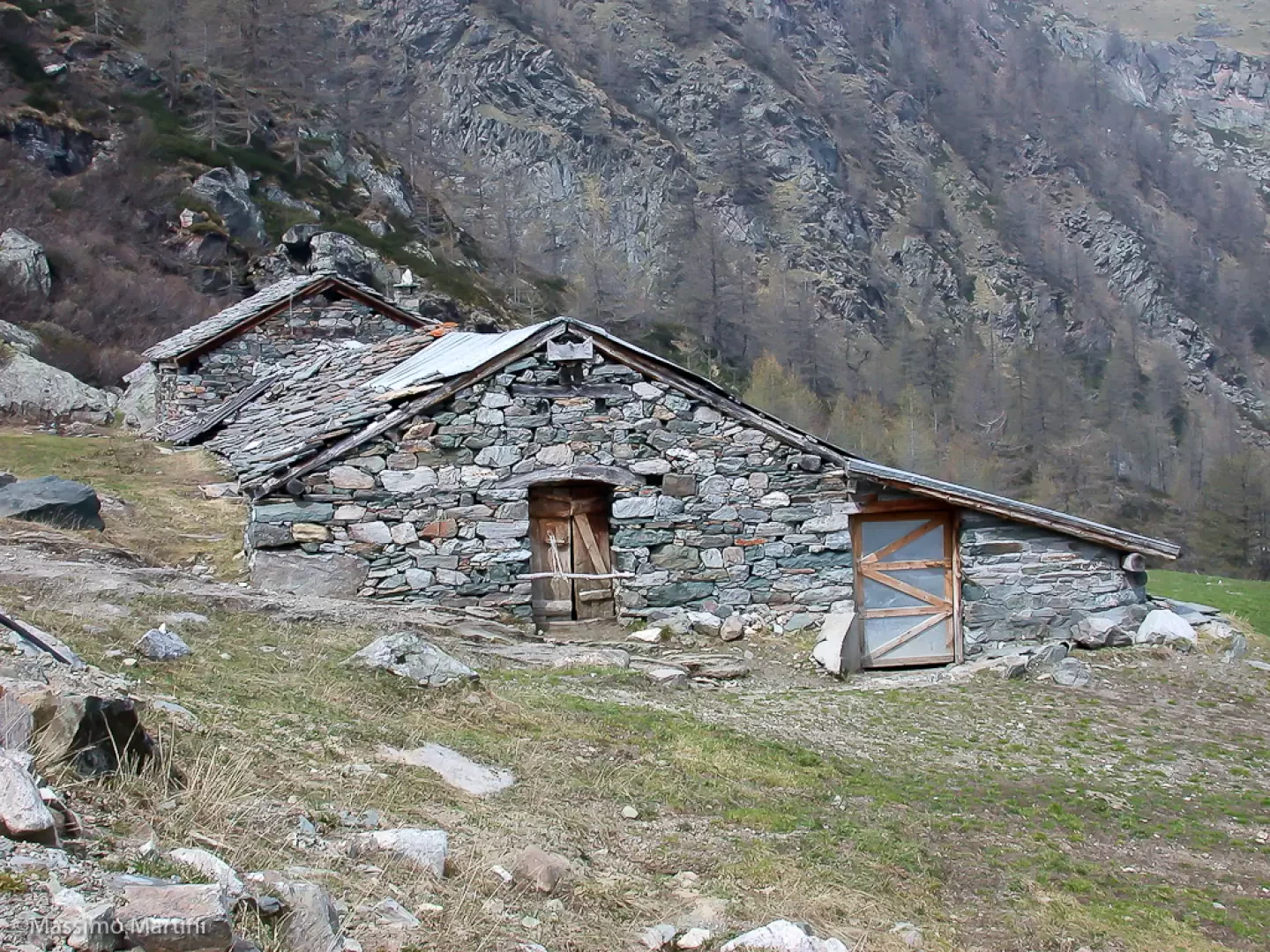
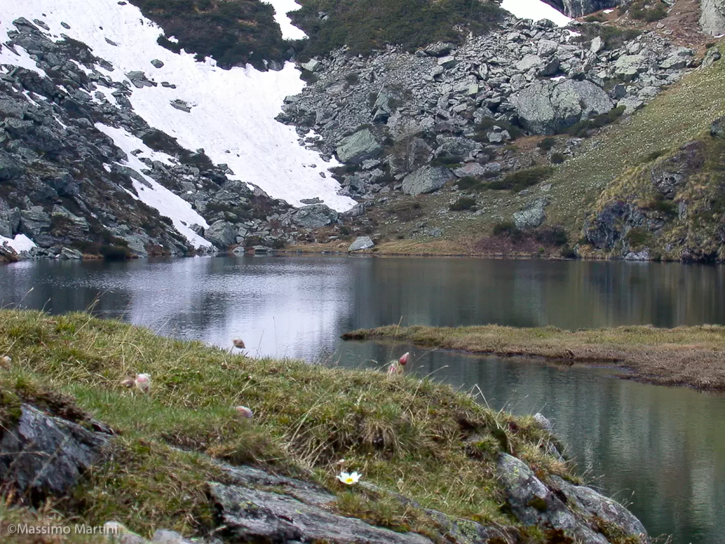
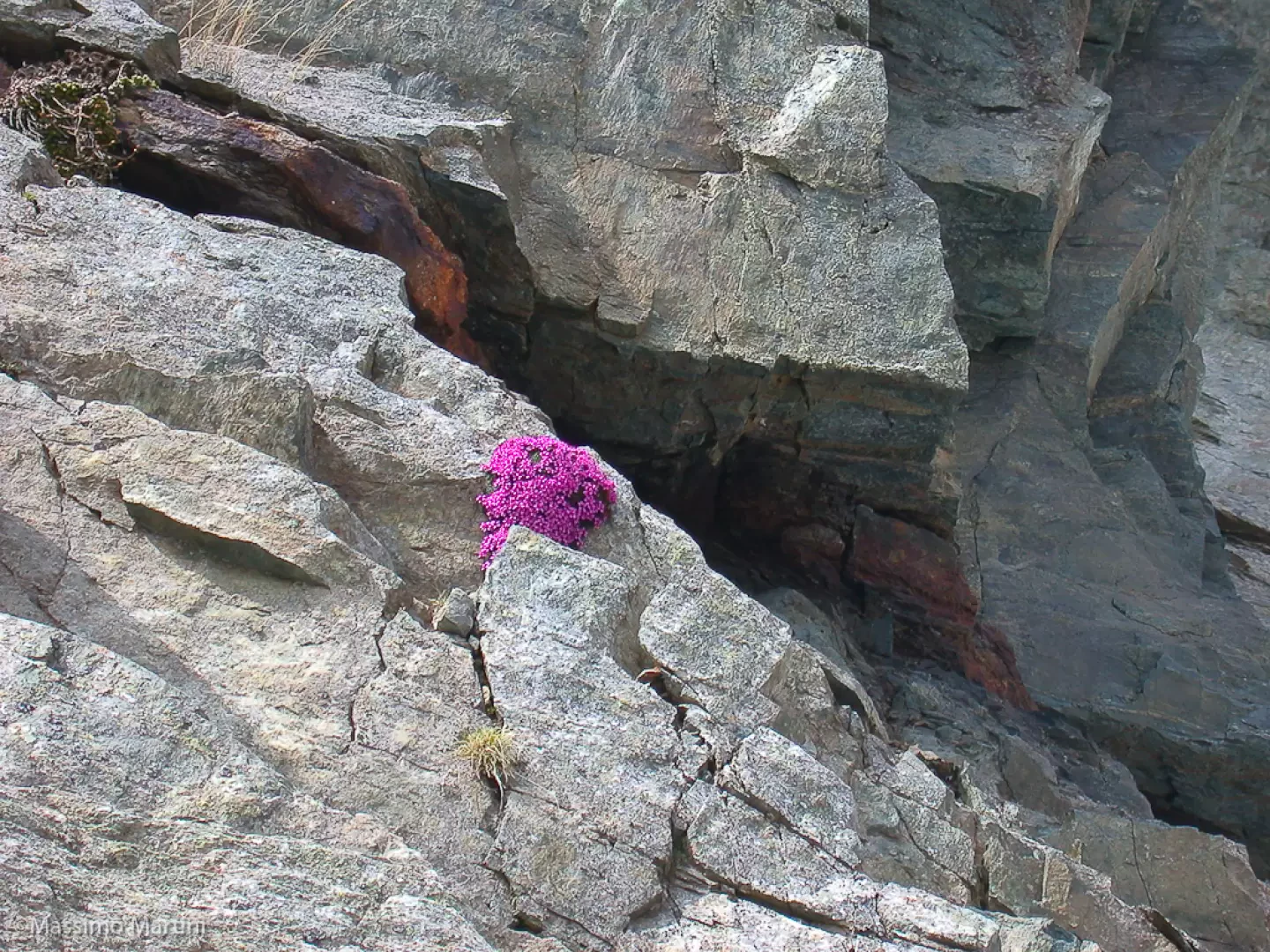
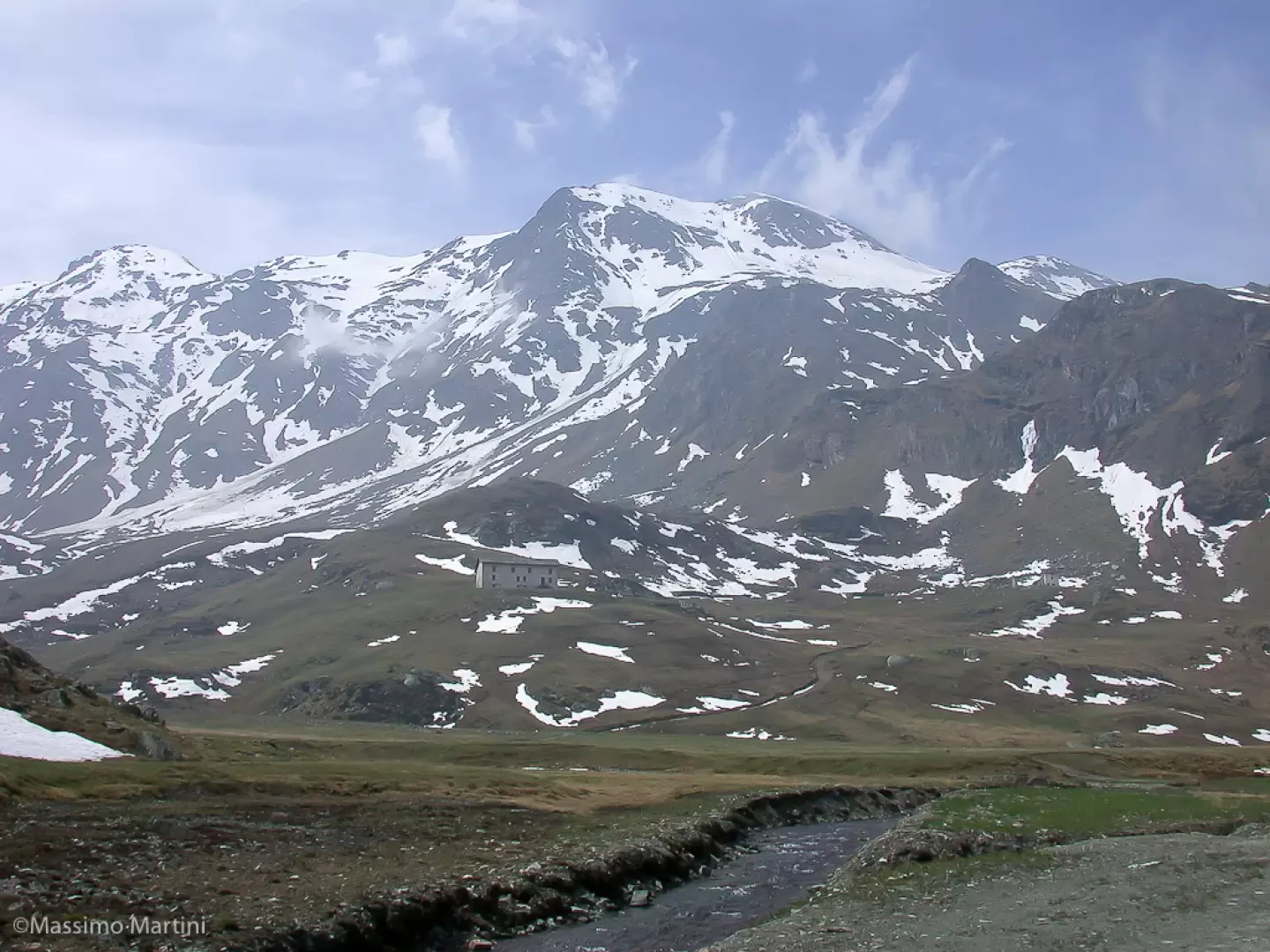
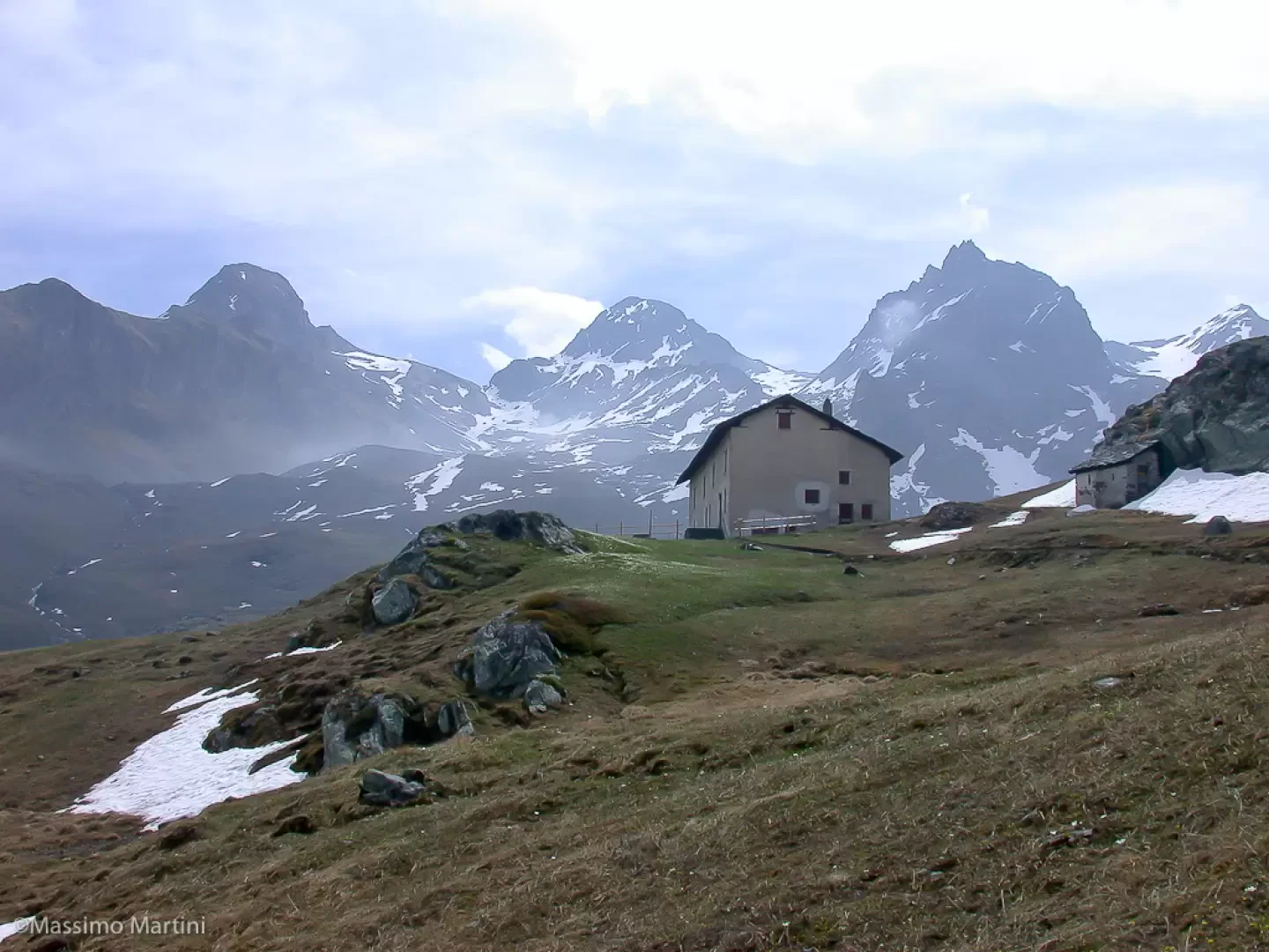
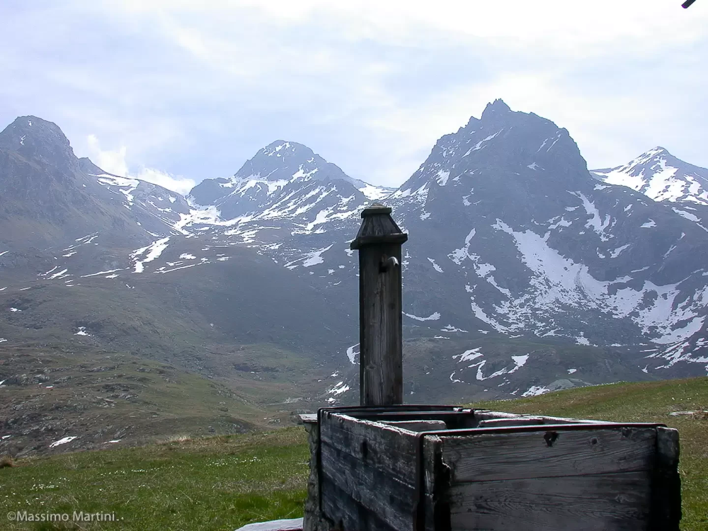
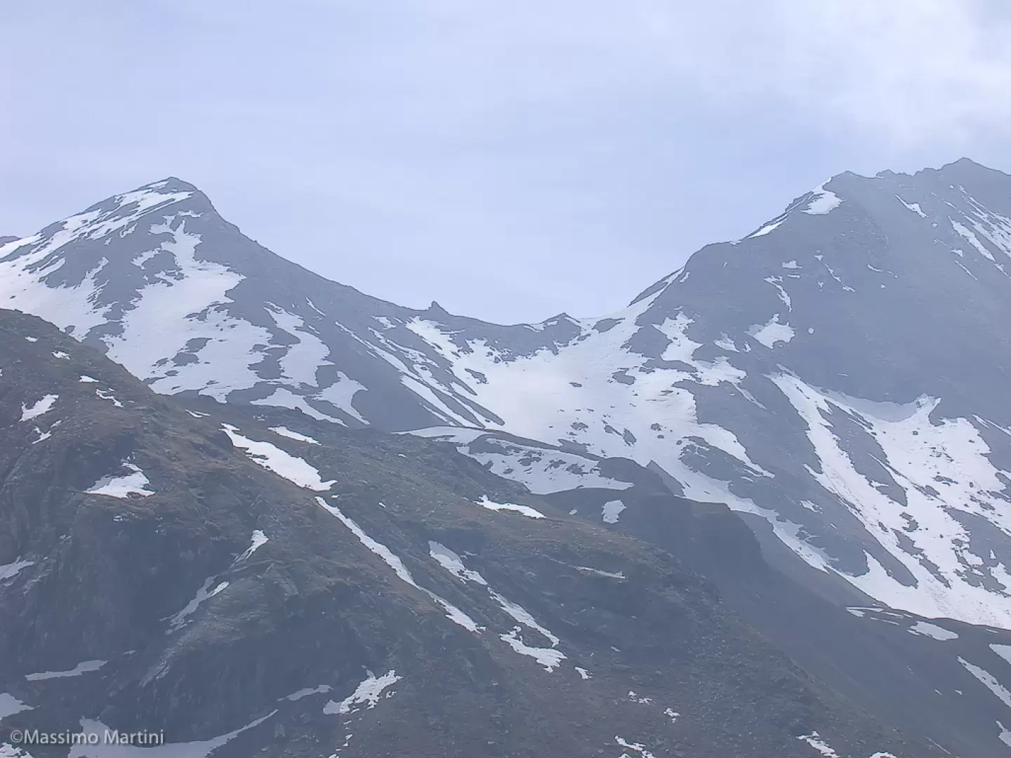
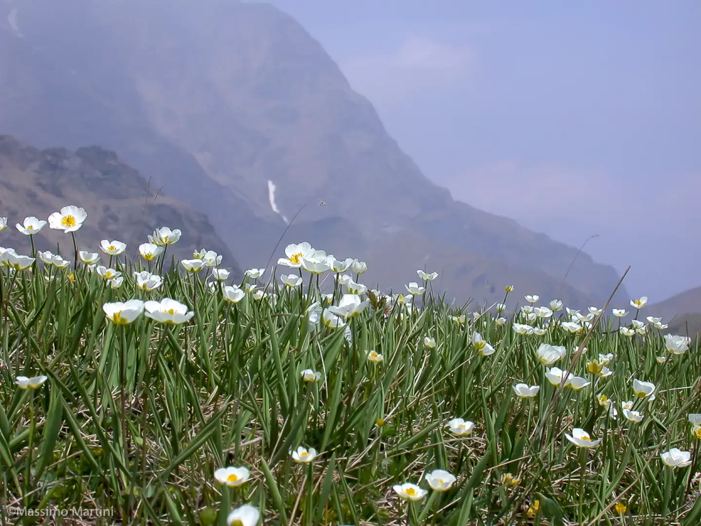
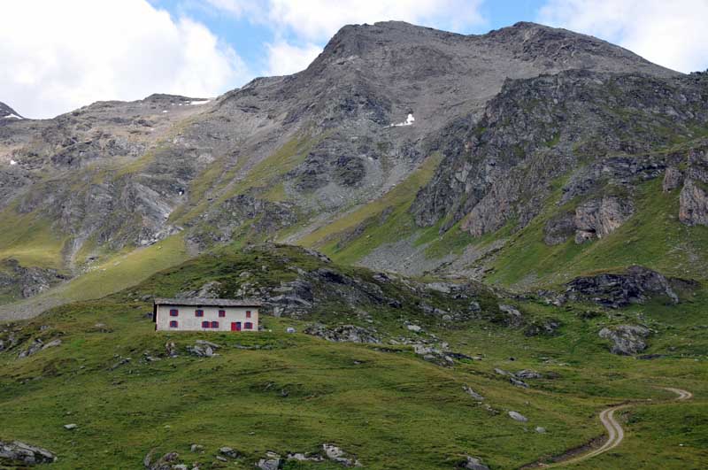
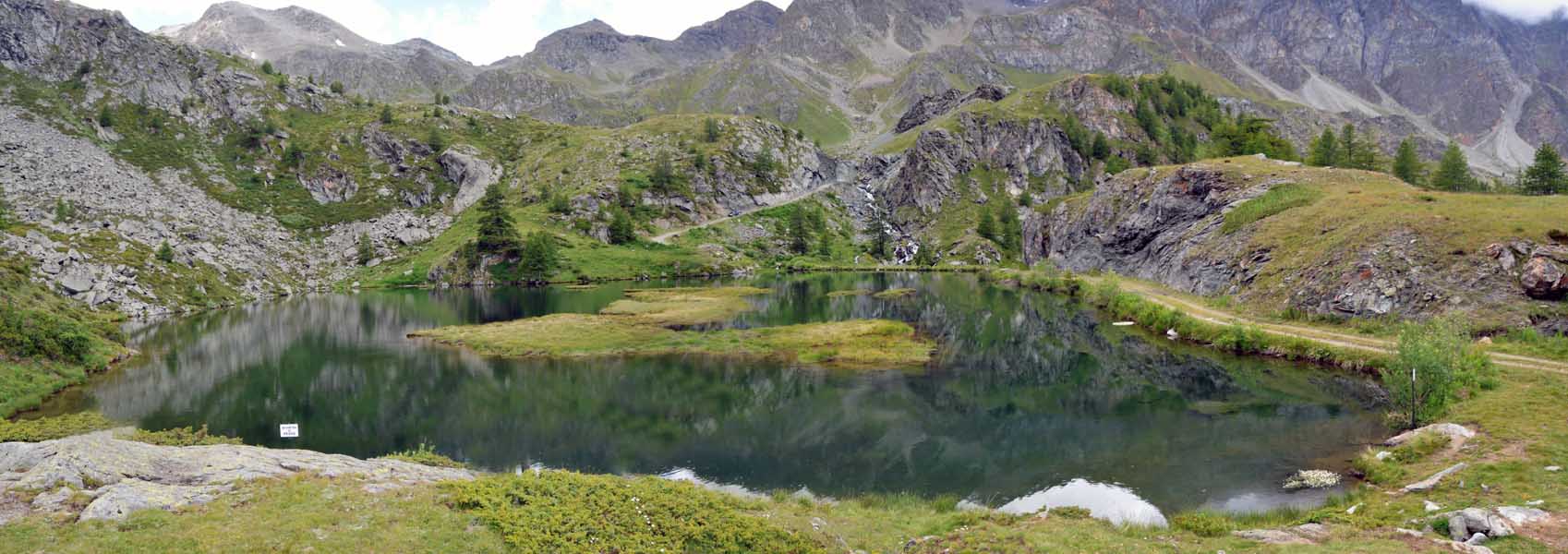
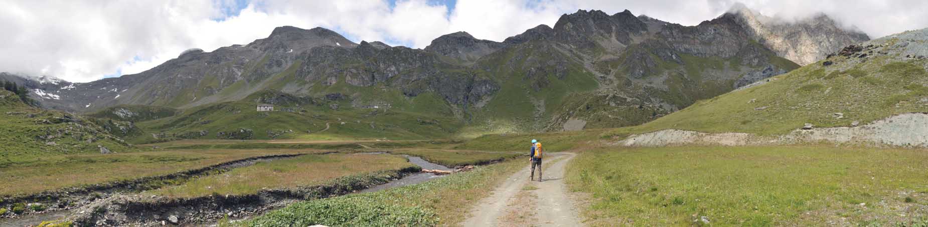
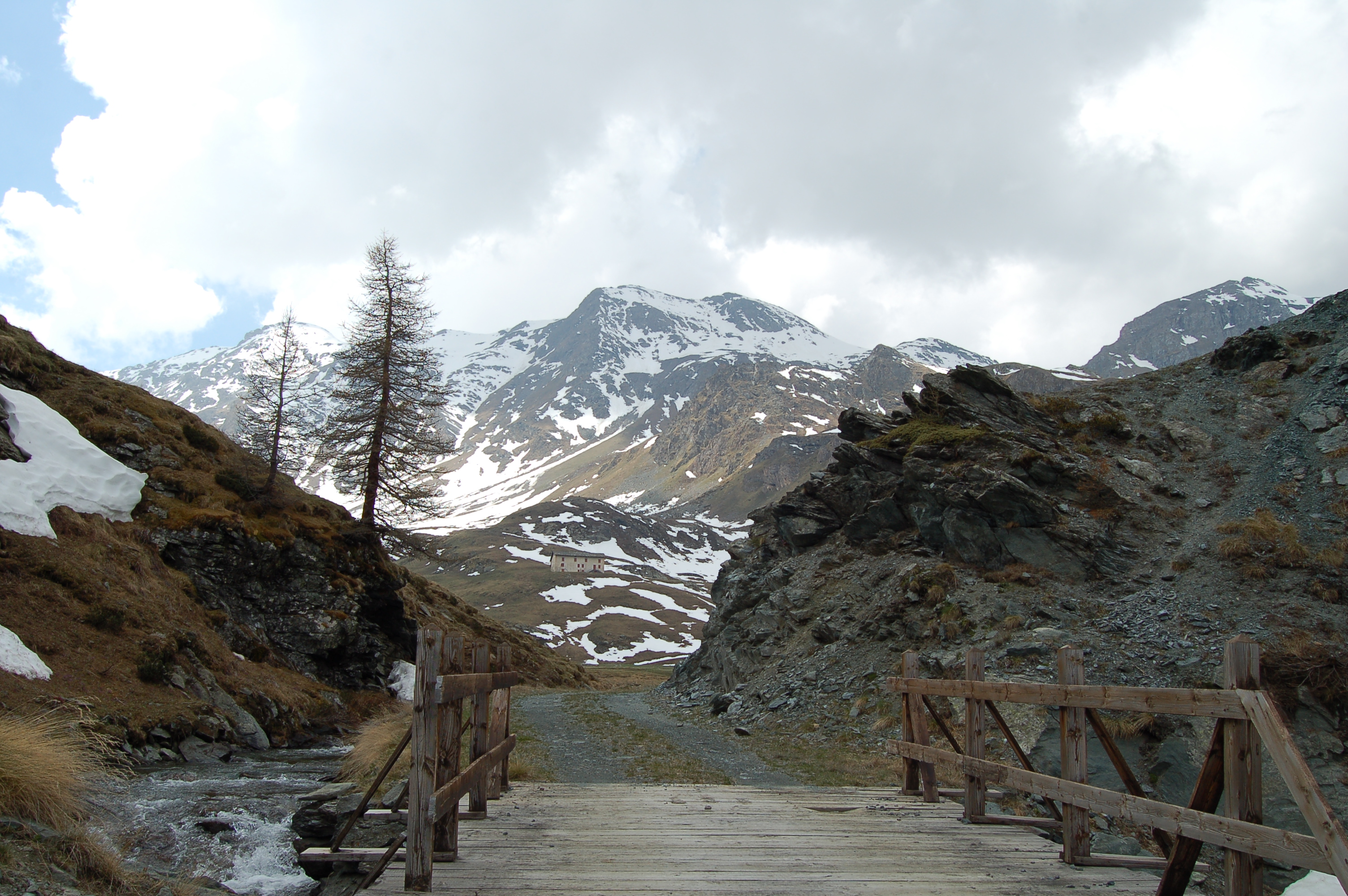
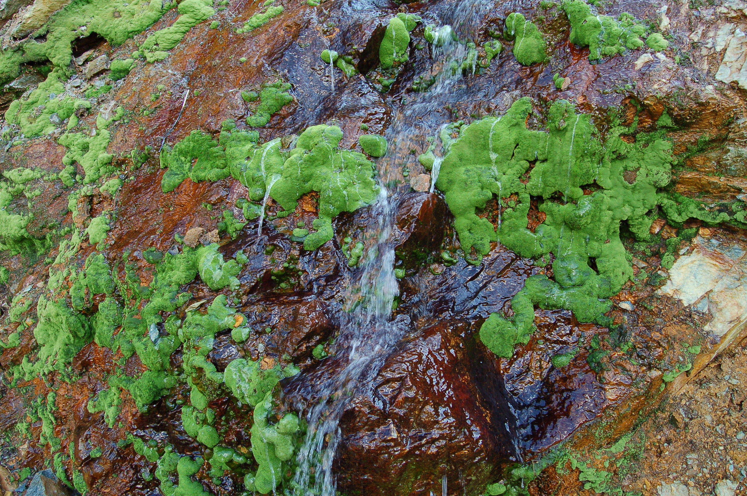
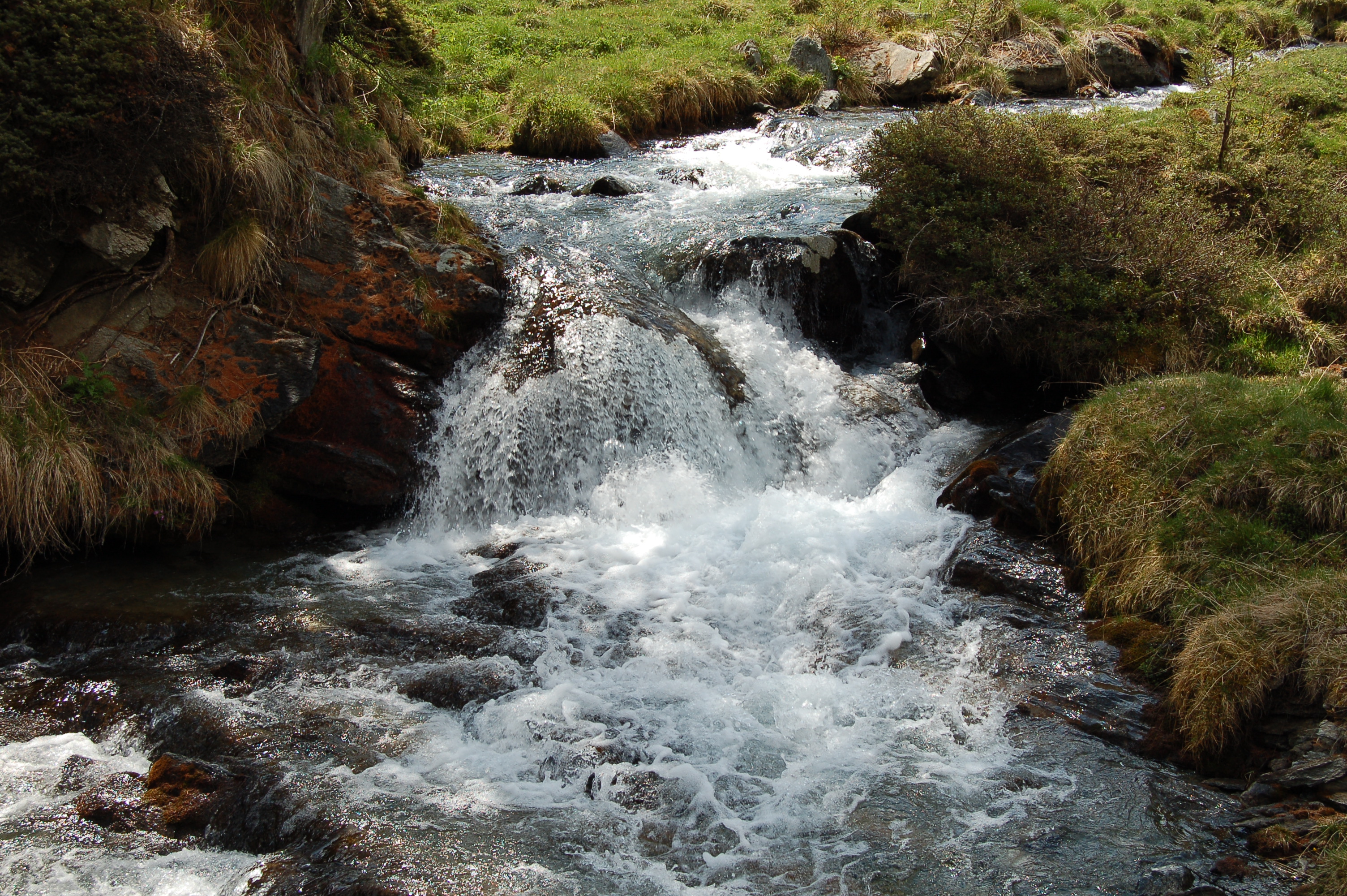
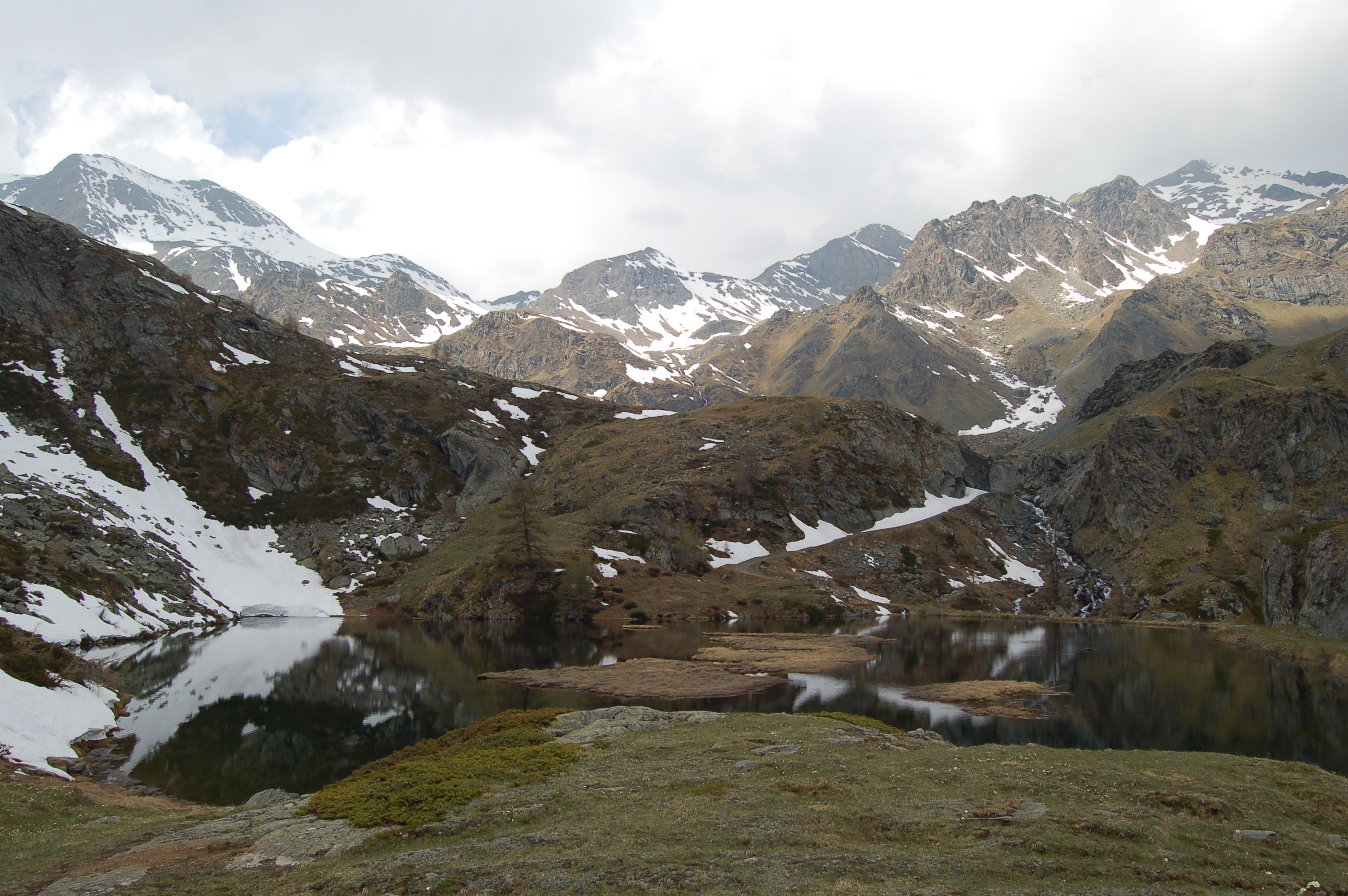
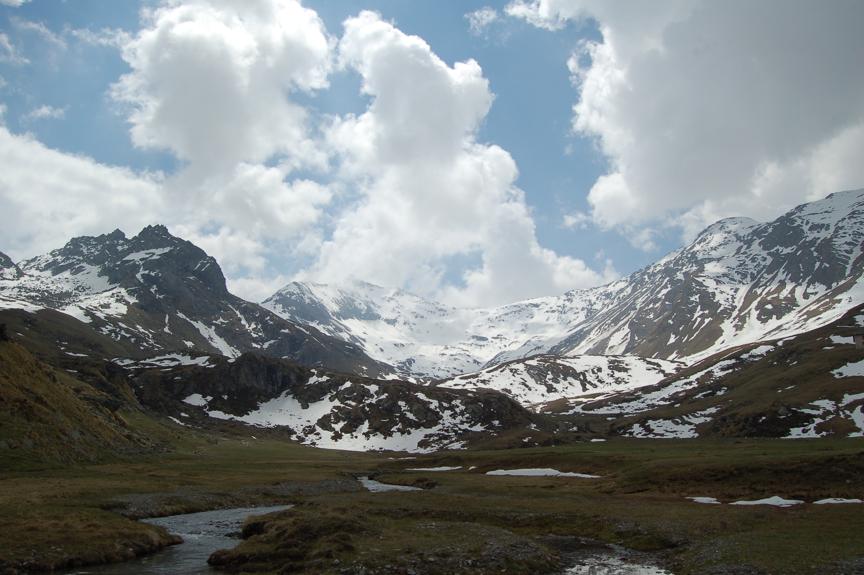
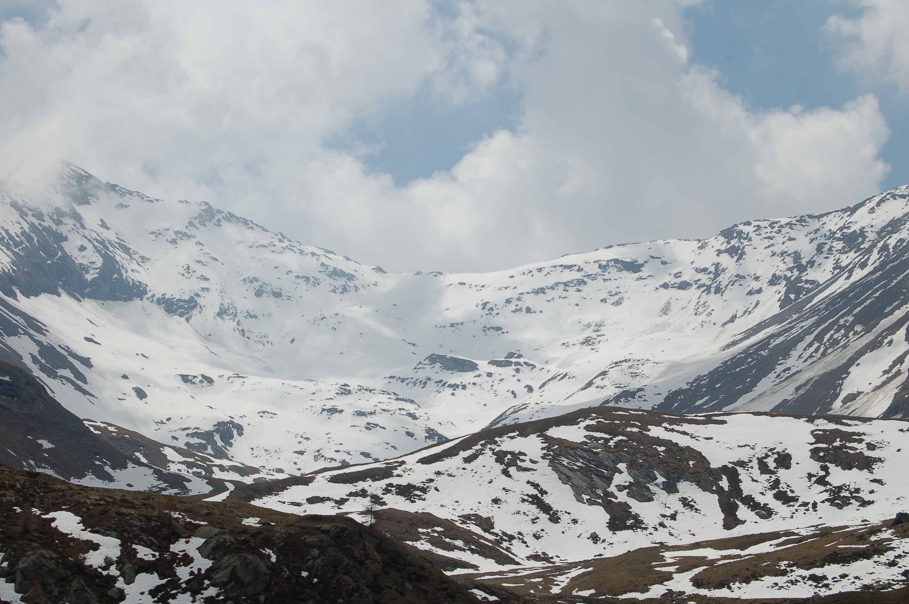
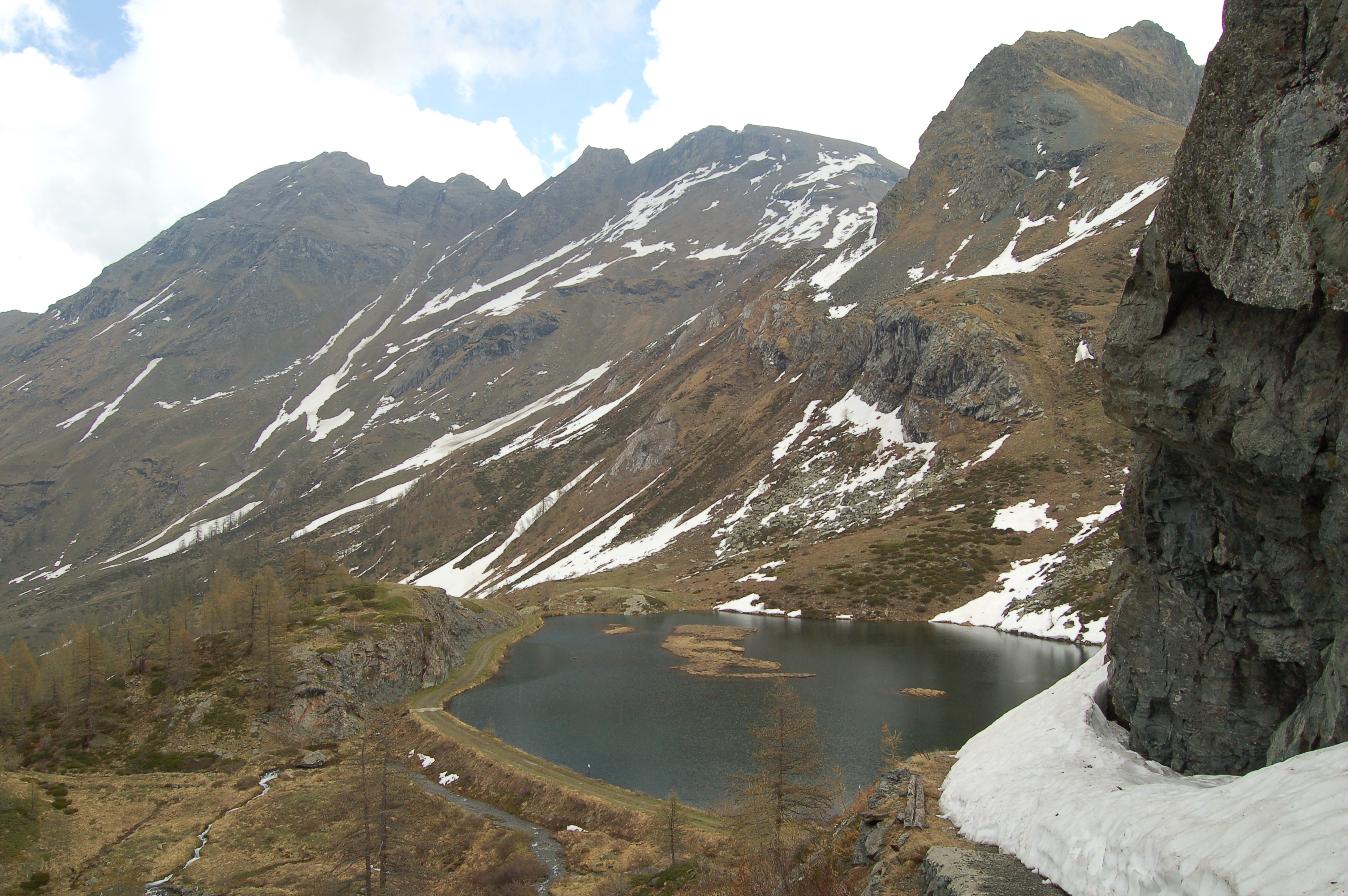
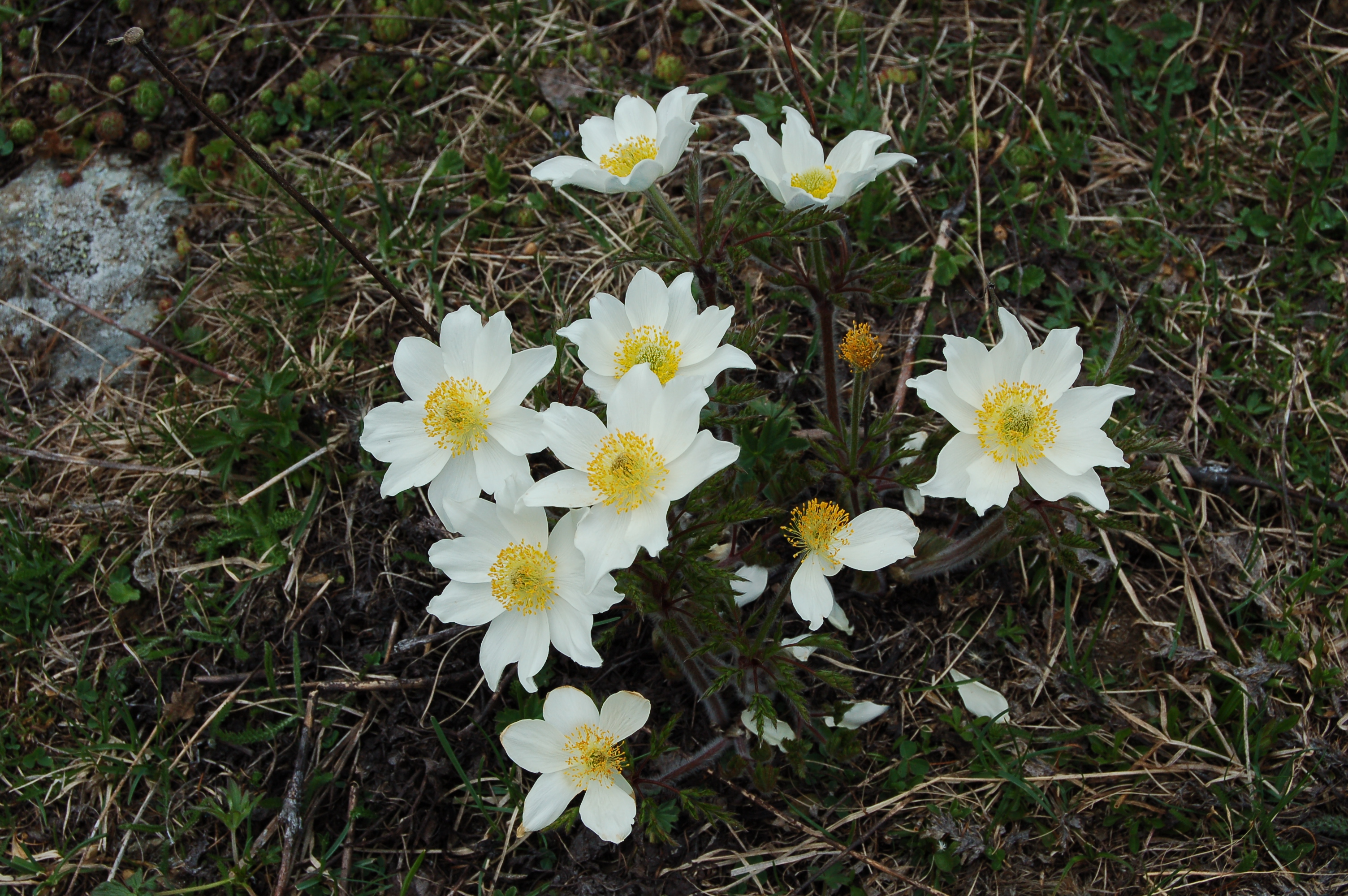
After 0h35' minutes, ignore the farm road (on the right) coming from Plout and continue straight on until you reach a gate indicating access to the Turati family hunting reserve. This reserve at the end of the 19th century encompassed the whole of the Saint-Marcel valley and was owned by Baron Beck Peccoz, who looked after it through a tenant; in 1958, the reserve was ceded to the Turati family. We continue our walk along the road, which is now a continuous up and down in the beautiful forest of Larch and Spruce, after passing an old building, on the left, completely immersed in the vegetation we reach a crossroads at the height of a ru (0h50'): we overlook a small downhill road on our right and continue straight on, passing the ru. After passing a couple of hairpin bends, the road reaches the opening of the valley: before us we can see the pastures and the great peaks of Becca Salé (3137m) and Petite Roise (3274m) and Grande Roise (3356m). After 1h05' we reach a small bridge that will take us to walk on the orographic left of the Saint-Marcel stream. On the left of the little bridge, the path continues towards Mont Corquet (2529m), but we neglect it, continuing straight on towards the valley floor. Immediately after the little bridge we find, on the right, the start of path c leading to the Praborna Mines (1891m). We continue up the valley between the wide meadows and scattered larch thickets to reach the Mulac houses (1940m, 1h15'). With a couple of hairpin bends, go around the knoll on which the gamekeeper's hut is located and climb up the small road towards a beautiful waterfall: the alpine meadows where it is not difficult to spot marmots and the omnipresence of water make the landscape very suggestive. After crossing a small bridge, you arrive at the village of Sinsein (1995m, 1h30'): from here the road becomes steeper and climbs the orographic right-hand side of the valley. In a short time, the characteristic alpine pastures of Plan Rué (2100m, 1h40') are reached: in May, it is possible to enjoy the wonderful flowering of the yellow Pulsatilla and the Martagon Lily. We continue up the farm road, now only encountering scattered larch and an unusual stoic birch tree at 2200 m. After 2h10' we reach the Layet alpine pasture (2236m), a couple more hairpin bends and we arrive at the characteristic Layet lake (2285m, 2h15'): a small lake rich in fish fauna (fishing reserve) and very suggestive. We go around it and continue towards our destination. We climb up a small gorge and, after crossing a small bridge, reach the wide plateau below the Grande Chaux: from here in a few minutes we reach the large Grande Chaux building (2370m; 2h45'). From Grande Chaux we can enjoy a fine panorama of the peaks of the central valley, the watershed peaks with the Laures valley and the beautiful mountain cirque behind it: Grand Avert (2935m), Punta Tessonet (3260m), Punta Jean-Vert (3150m), Punta Laval (3091m) and Mont Vallonet (3102m). The return trip is along the same route as the outward journey.
Partito dall'area picnic delle Druges con il sole. Salendo il cielo ha iniziato a coprirsi. Prima di giungere al Lago Layet attraversato alcuni nevai ancora presenti sul sentiero. Iniziato a piovere all'arrivo alla Grand Chaux, il tempo di scattare alcune immagini, poi discesa sino alla casa dei guardiaparco della riserva di Turati dove ha iniziato a grandinare.
All'arrivo all'area picnic nuovamente il sole ad accogliermi.


Comments (0)
Sign in to leave a comment