Chasten pass north, from Issime

Edited by:
Massimo Martini
Updated at: 04/05/2025
Access
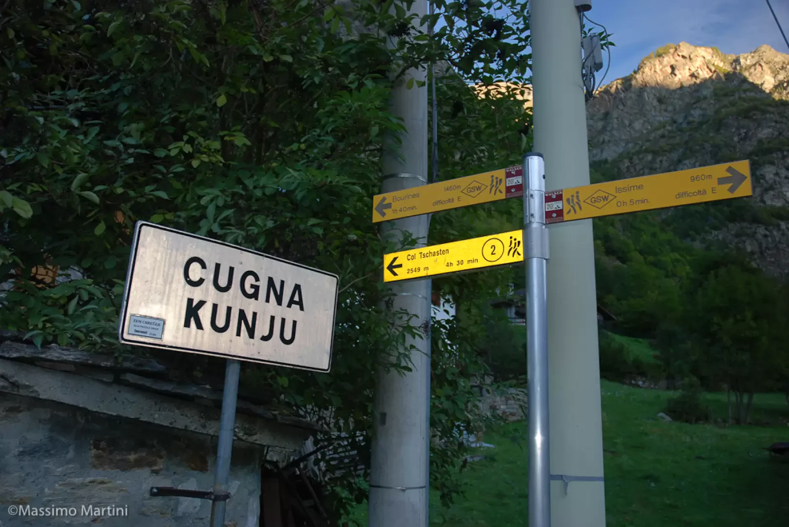
Leaving the motorway at the Pont-Saint-Martin exit, after 100m turn right and you will come to a first roundabout, take the second exit. A little further on you come to a second roundabout: take the third exit, and you enter the centre of Pont-Saint-Martin. After a few hundred metres, you will find the beginning of the road to Valle del Lys: turn right and follow it for 13.5 km, passing the villages of Lillianes, Fontainemore and Issime: shortly after the centre, turn right near the Issime primary school, where there is a large car park.
How to get there with GMaps
How to get there with Apple Maps
The directions given here were verified as of the date the route was surveyed. Before setting off, it is advisable to ensure that no substantial changes have occurred on the route to the starting point. We therefore recommend the use of the satellite navigation apps provided by Google or Apple for up-to-date and detailed directions.
Introduction
Beautiful walk on the edge of a stone world. The ascent to the bivouac along the beautiful Stolen valley allows us to enjoy unforgettable moments: unspoilt nature, a beautiful mule track and ancient constructions that lead us to think about how man has coexisted with these territories over the centuries.
Type of route: A/R with possible variant to Col Chasten south (partially circular about 30 minutes longer)
Description
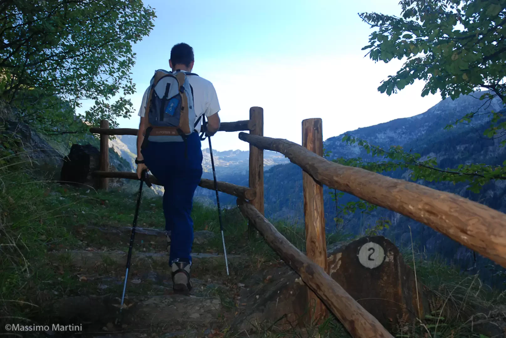
From the car park, head towards the signposts indicating the route to the Chasten pass: take a path that passes between the houses of Künju and begins to climb as it enters the forest. After a few minutes you come to a mission cross and from here continue along the first stretch of paved mule track that goes around a large grey house. After a short flat stretch flanked by a wooden railing, turn left and climb up a short stretch alongside a small stream until you reach the small metal bridge that allows you to cross it; continue for a short stretch along the stream and then turn right proceeding towards the narrow notch of the Stolen valley. The route continues on the beautiful paved mule track that, with a series of twists and turns, soon leads to a small oratory at Zam Chröizji (1145m , 0h30').Once past the oratory, the path bends to the left and heads slightly downhill into the valley until it briefly skirts the stream; from here, it continues to climb with a series of twists and turns until it reaches the Ronc - Rohn cottages (1304m, 0h50').
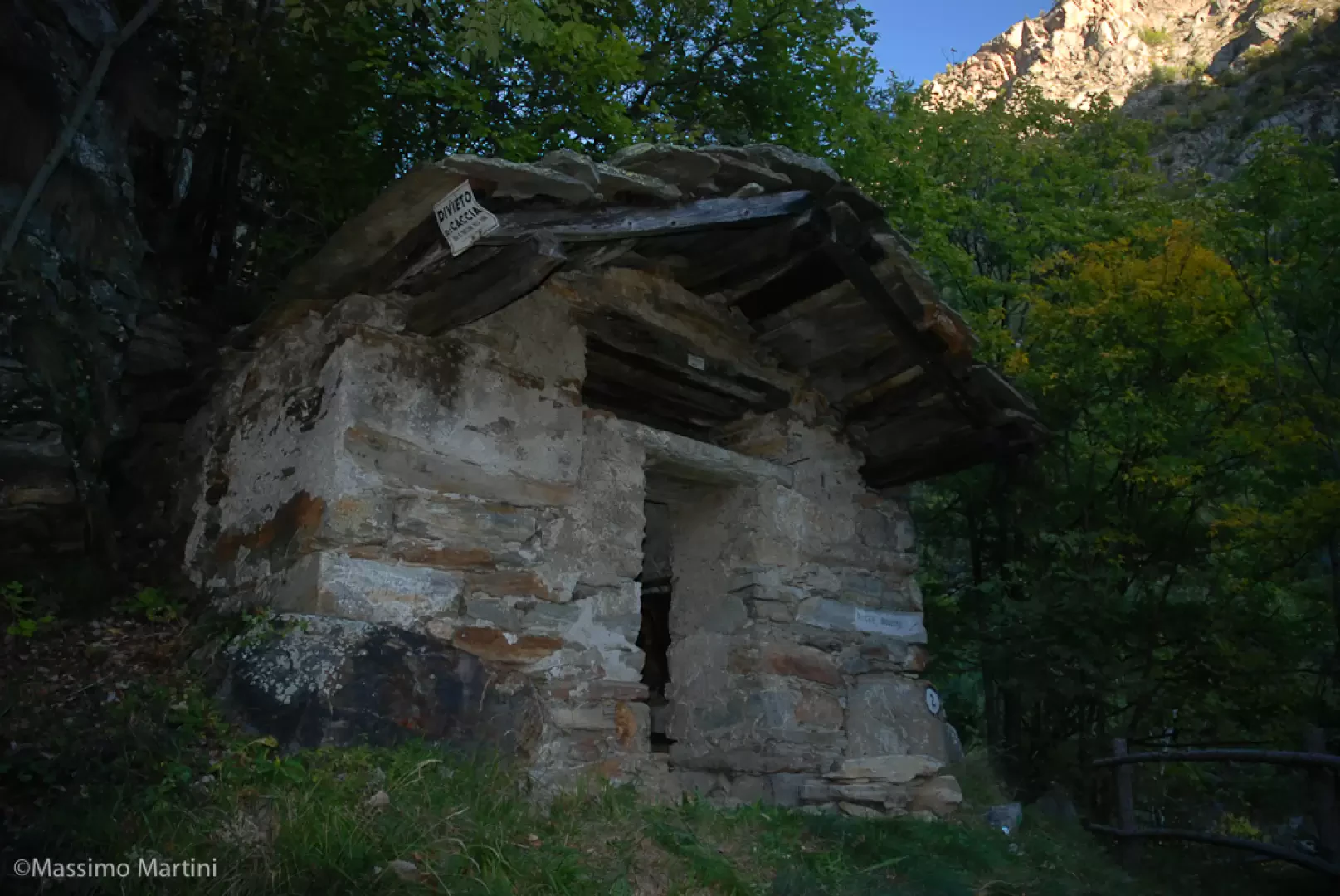
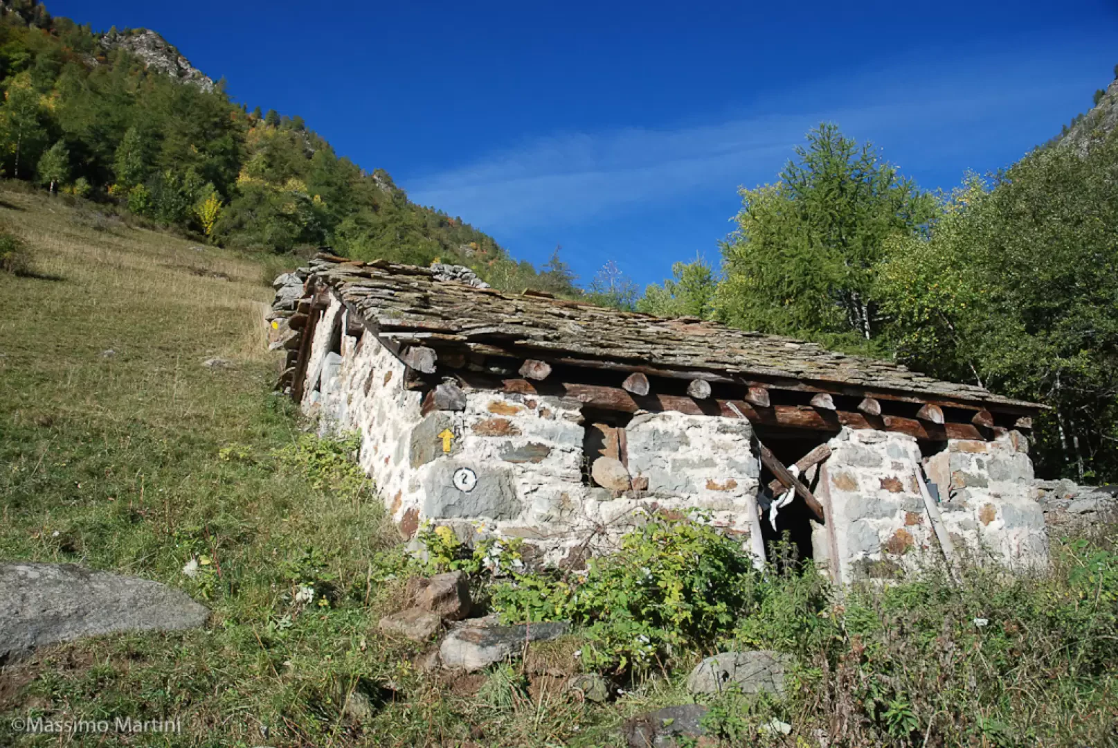
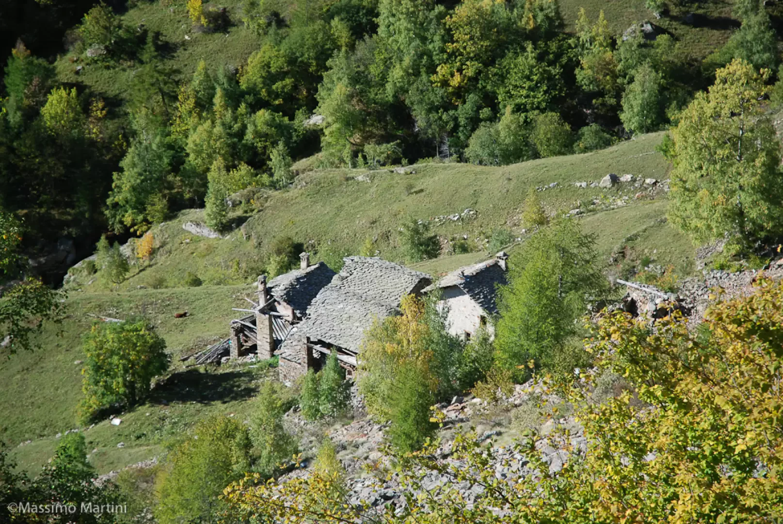
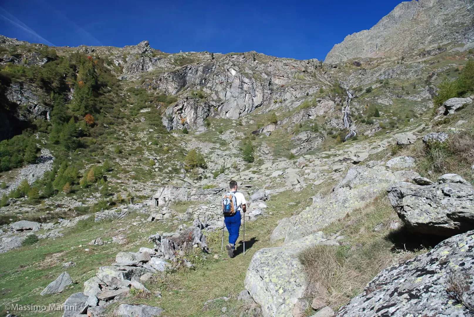
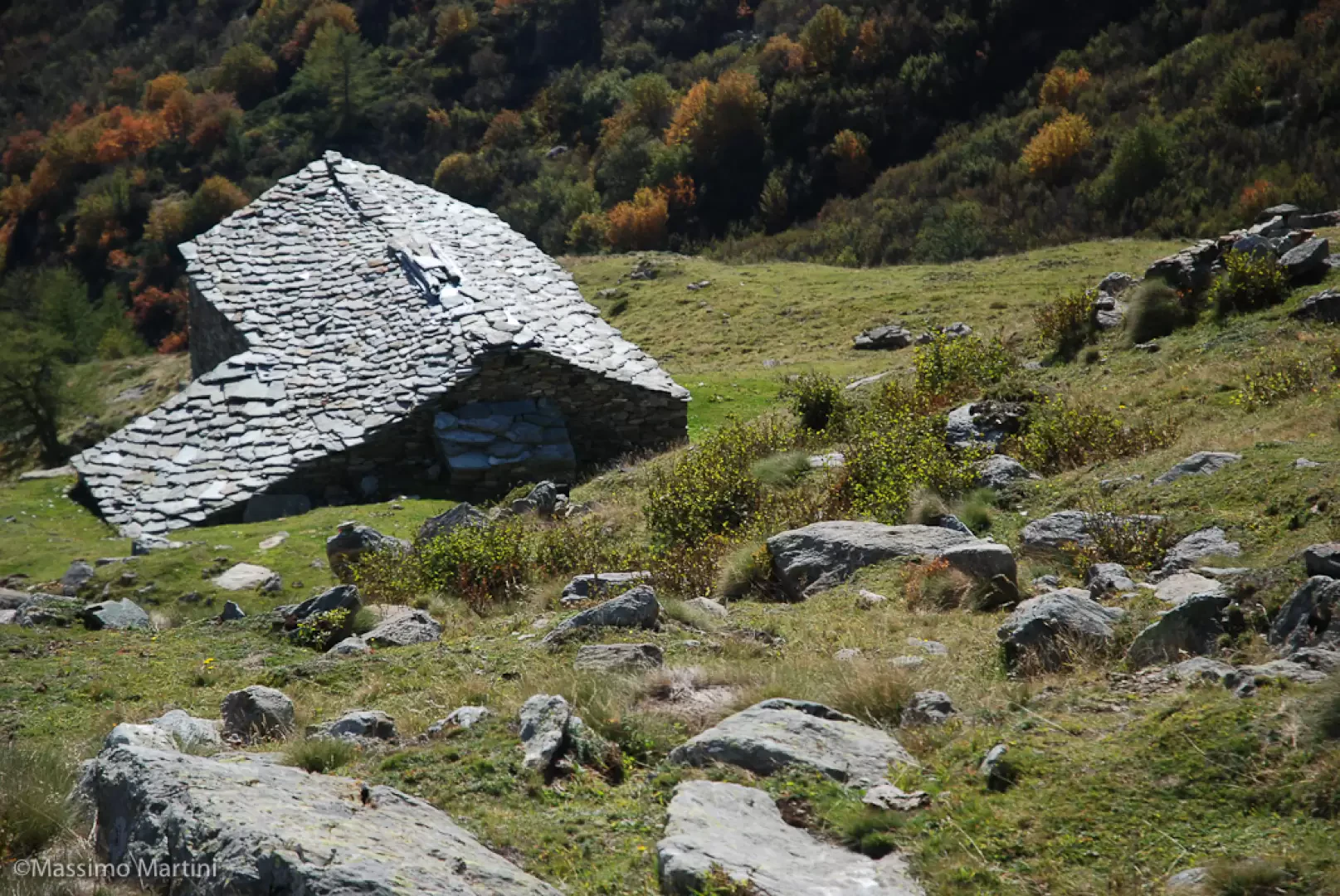
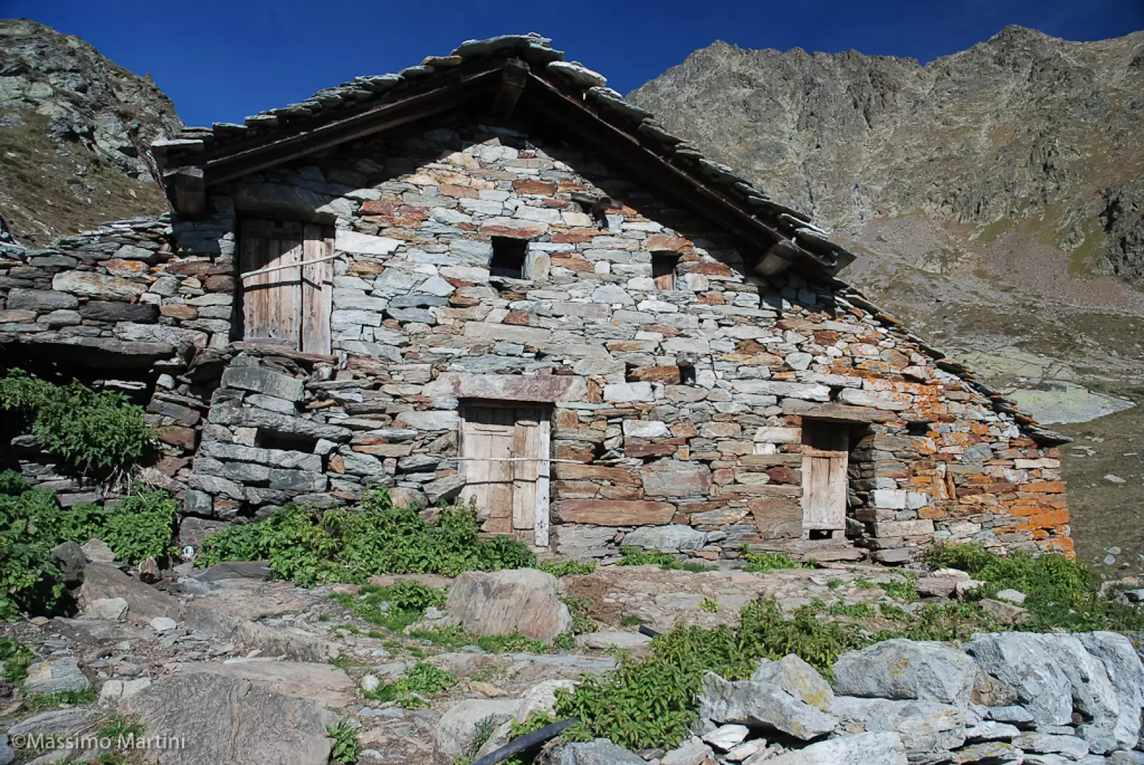
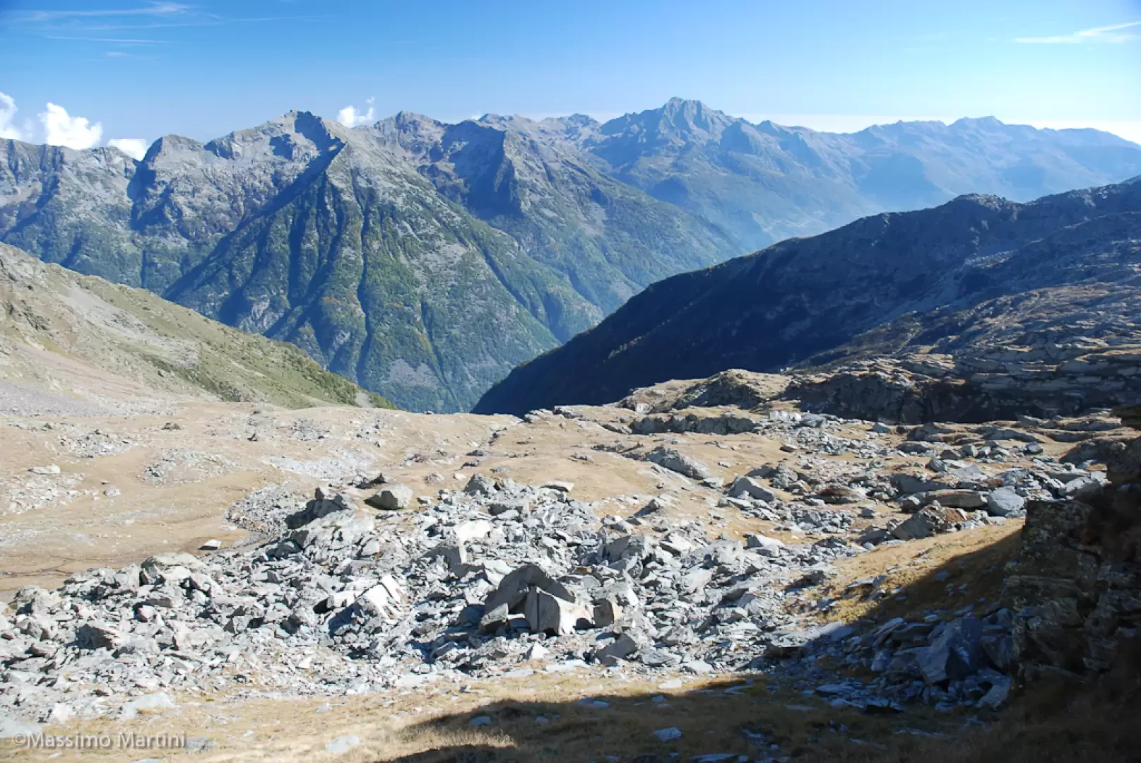
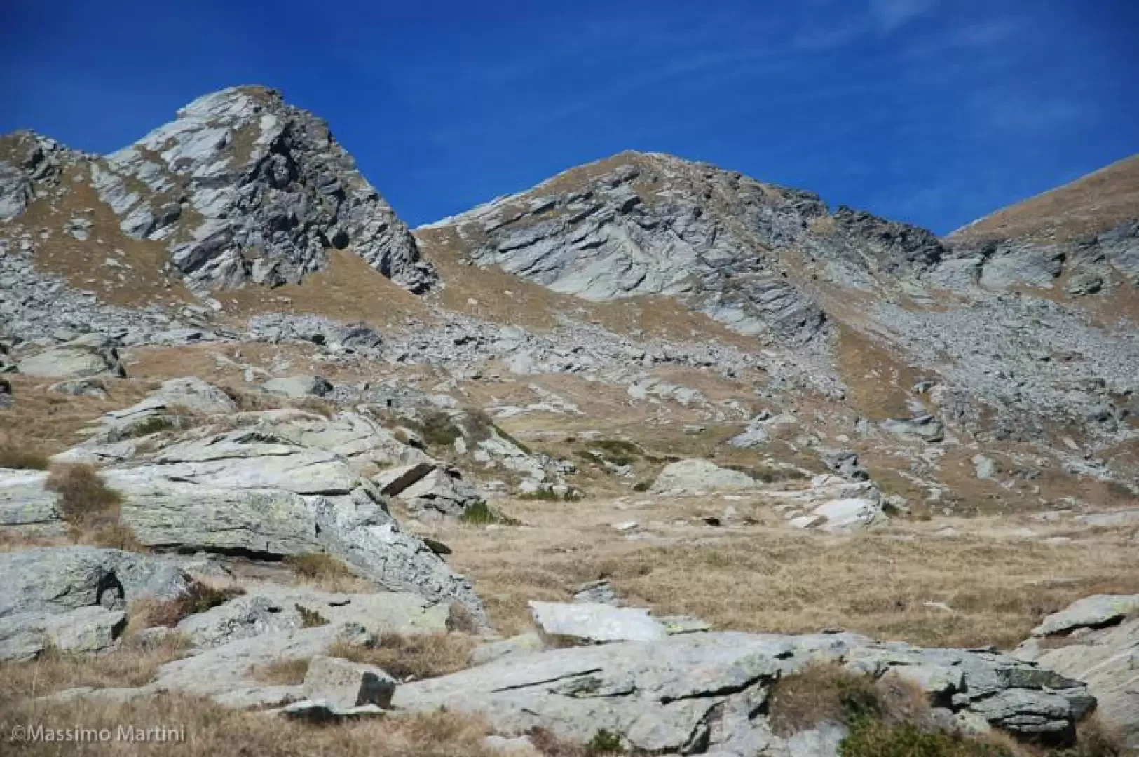
From the mountain pasture, the path continues with a few ups and downs until it reaches the small bridge that takes us to the orographic left of the stream. The ascent becomes a little steeper: walk up the mule track between larch, birch and hazelnut trees until you reach a GSW signpost located near the junction for Burinni; ignore the diversions to the left and start climbing again until you reach a cement memorial stone (beautiful panoramic view of the chief town of Issime). From here, you turn sharply to the left and walk a long, slightly uphill stretch, passing above Burinni; you cross a wooden footbridge at the foot of a rocky crag and, shortly afterwards, you come to a ruin resting on a steep slope, until you reach the mouth of a small gorge of the stream, after which you enter the beautiful basin below the Stolen alpine pastures. Once you have entered the basin, you pass a few ruins and reach a ruined mountain pasture (1,700 m, 2h00'): here, turn left and proceed for a short flat stretch until you reach a stream, ford it and begin to climb up the rocky slope again on a comfortable paved mule track. The ascent is sustained and after about 30 minutes you reach the top of the rocky step and shortly afterwards the Muna - Mühmu pasture (1950 m, 2h30').
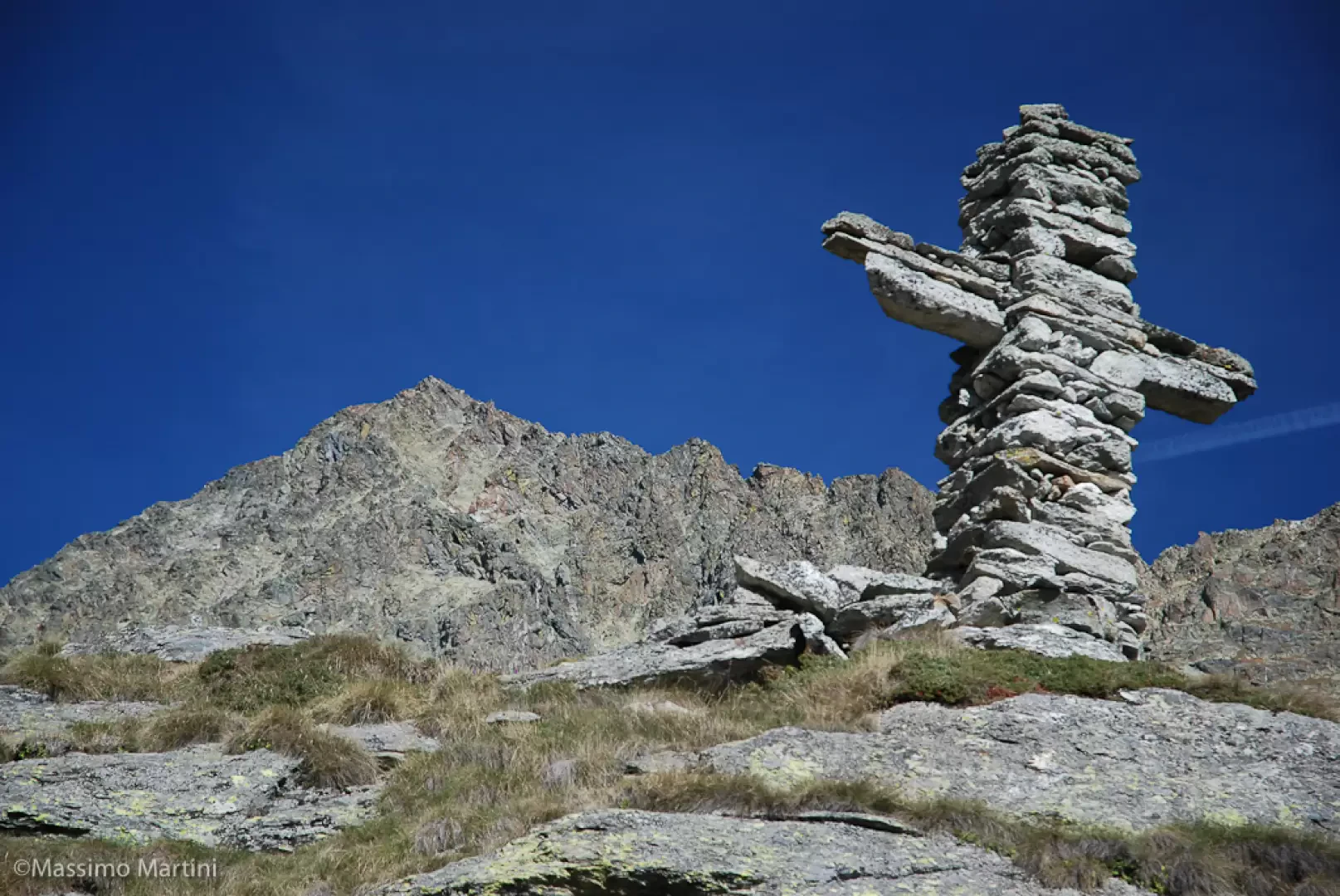
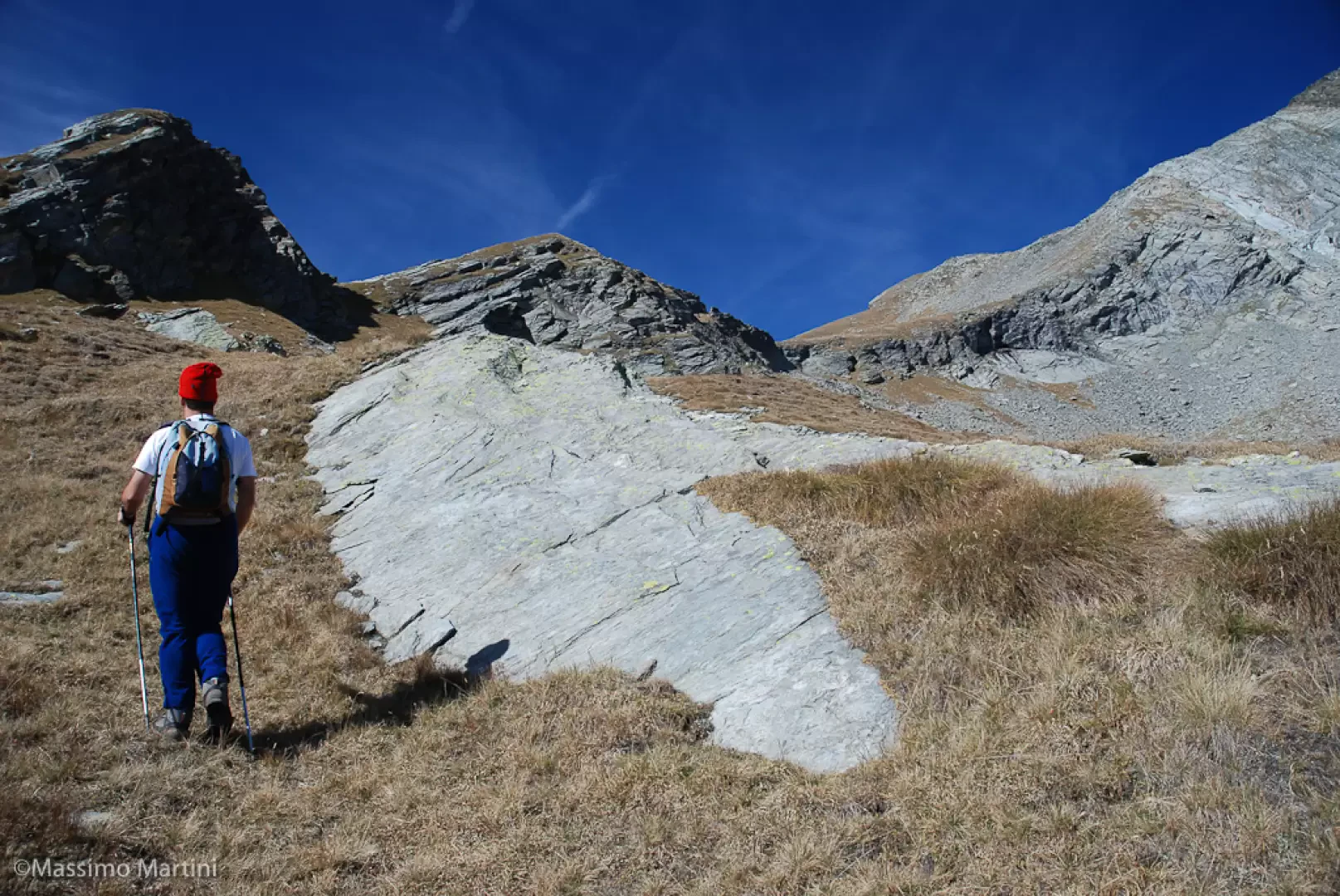
From the pasture, continue across the pastureland on the path, which is easily found thanks to the yellow markings; go up the ridge towards a large stone cross located below the Piany - Pianhy pasture (2120 m, 3h00').
The trail continues up a small drop to the left and soon reaches the Merhuy - Meerwi alp (2230 m, 3h15').
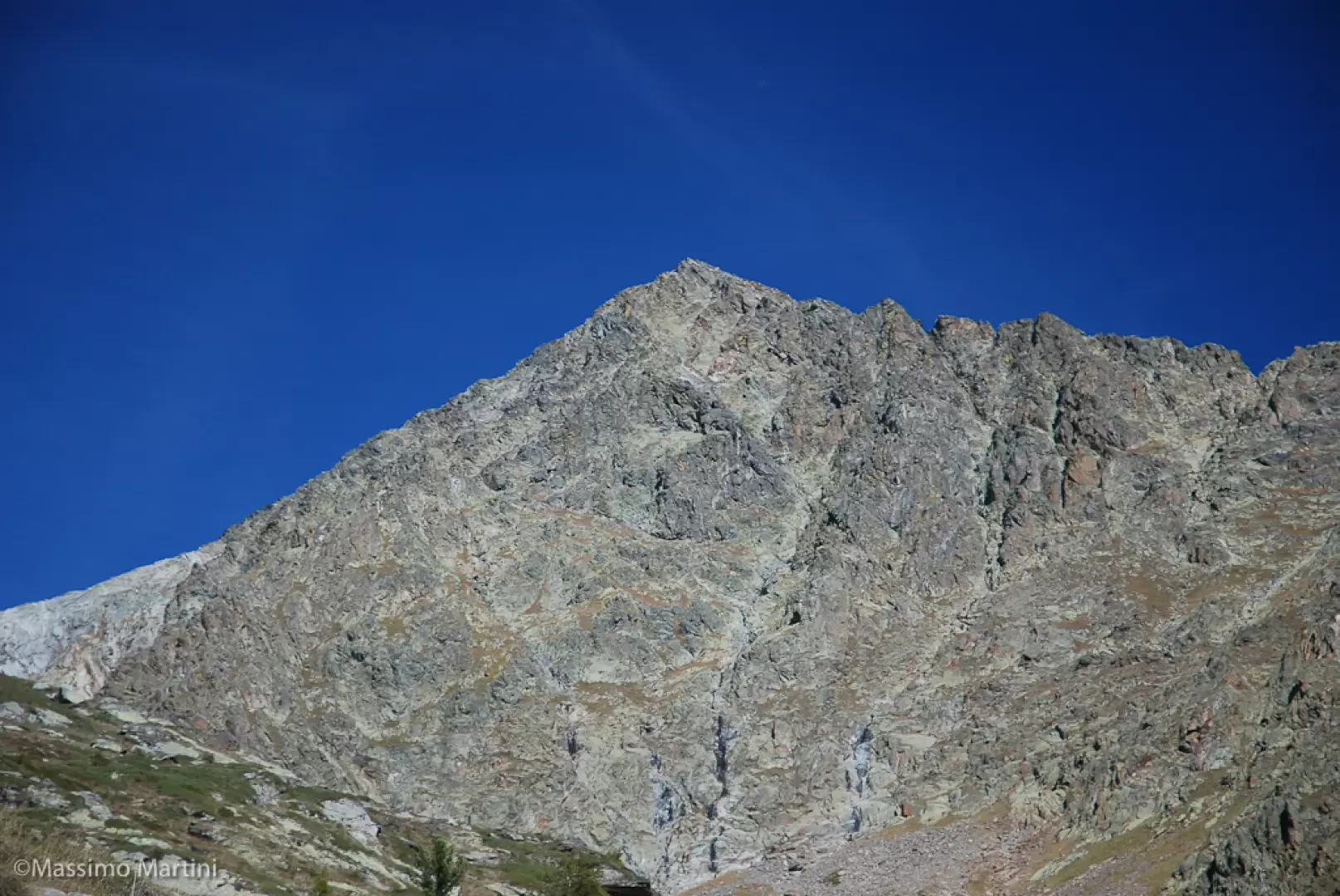
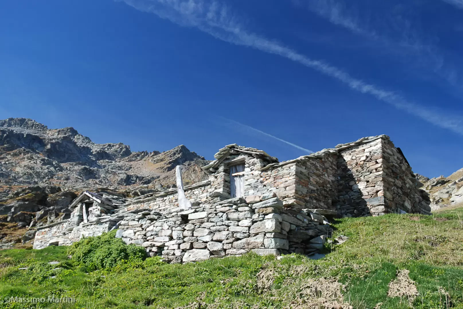
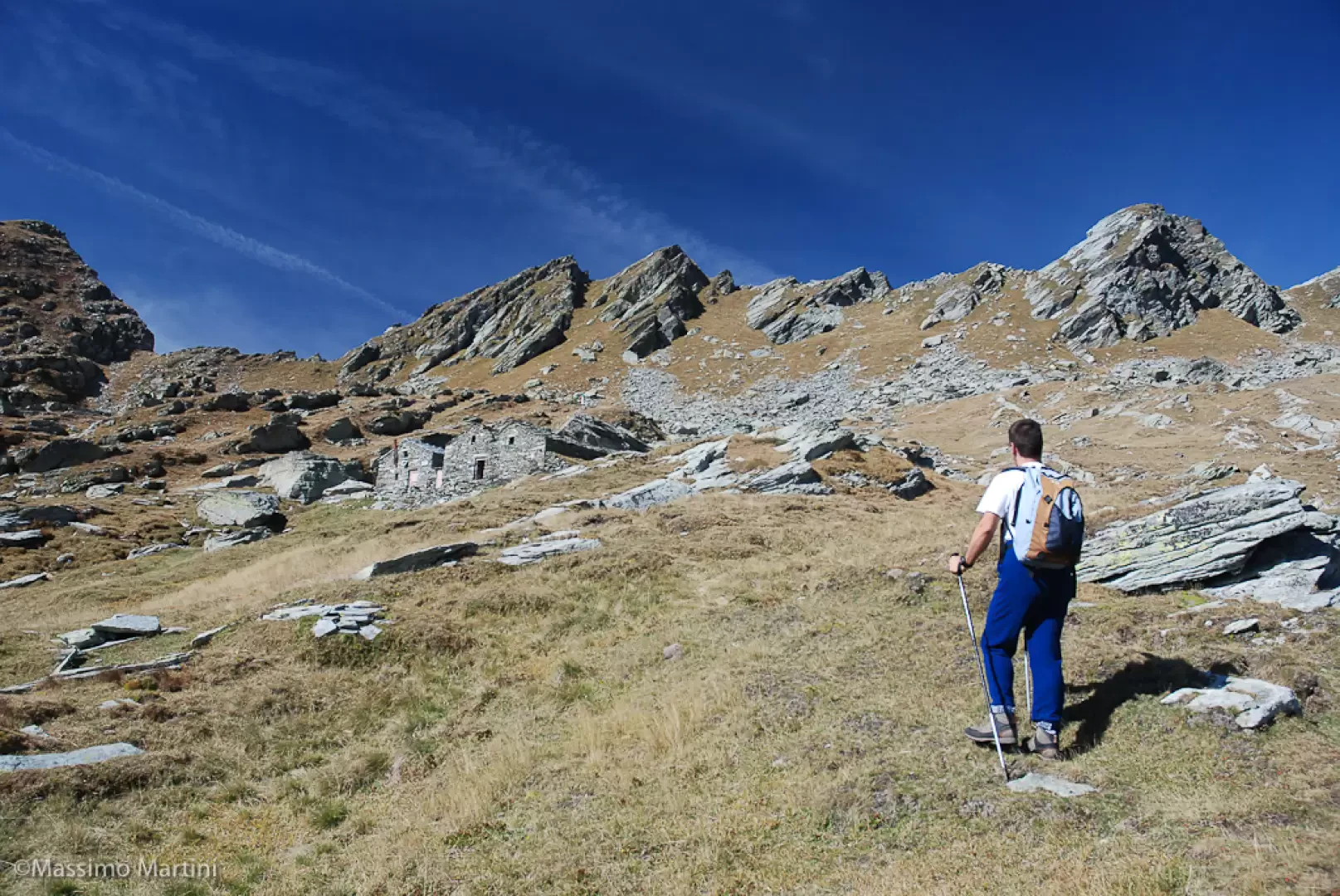
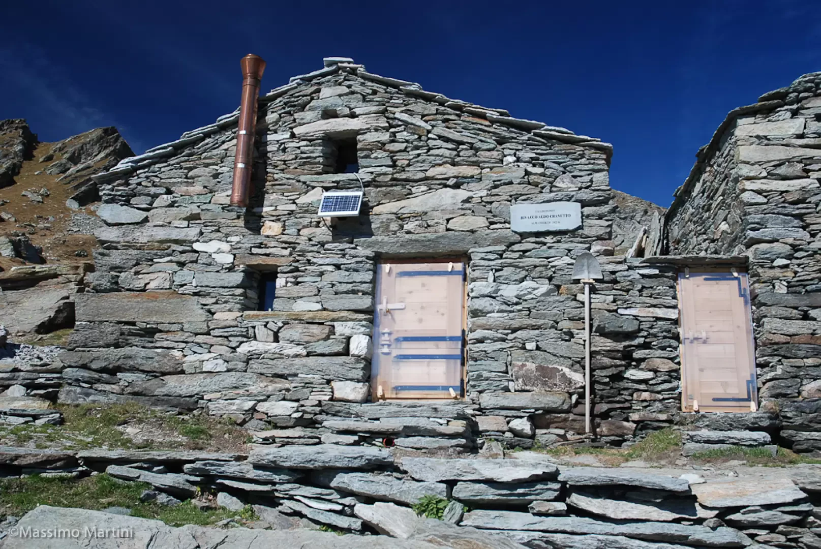
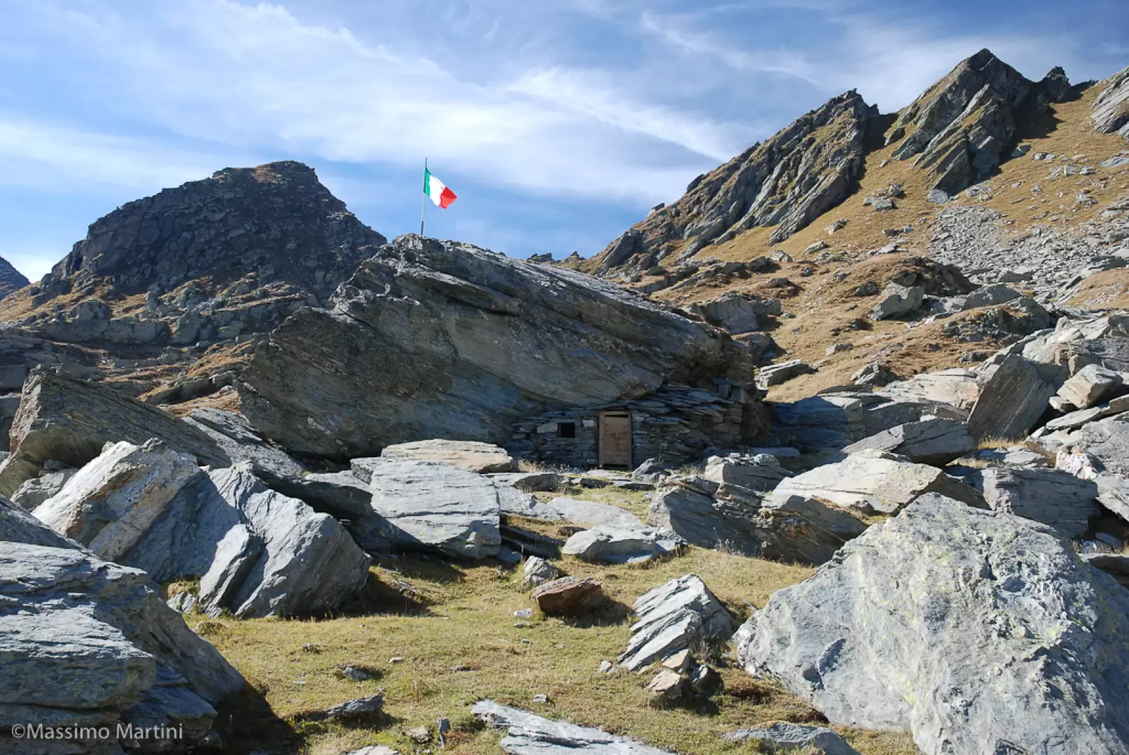
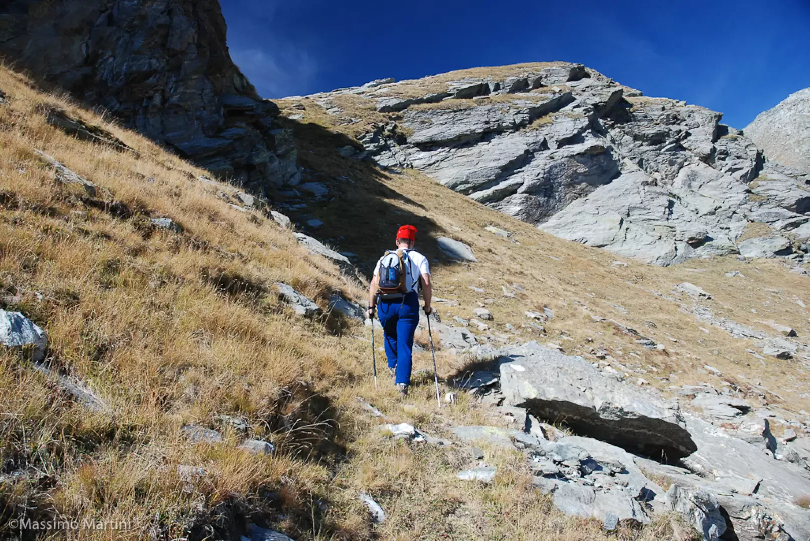
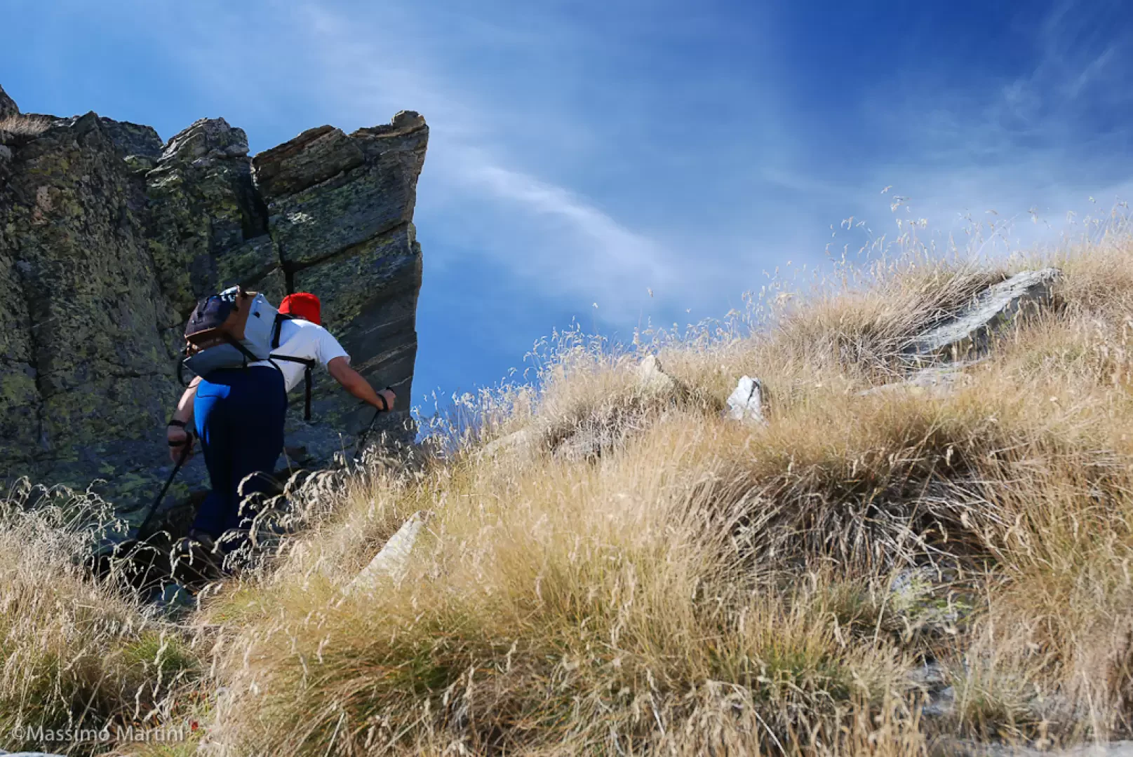
Now the valley widens out and the Chasten pass ridge begins to be seen. We tend slightly to the right until we find a small valley where there is also a small spring. By now, the destination is close and already visible: go up the last grassy ridge and finally reach Chlekch, where the Cravetto bivouac is located (2422 m, 4h00').
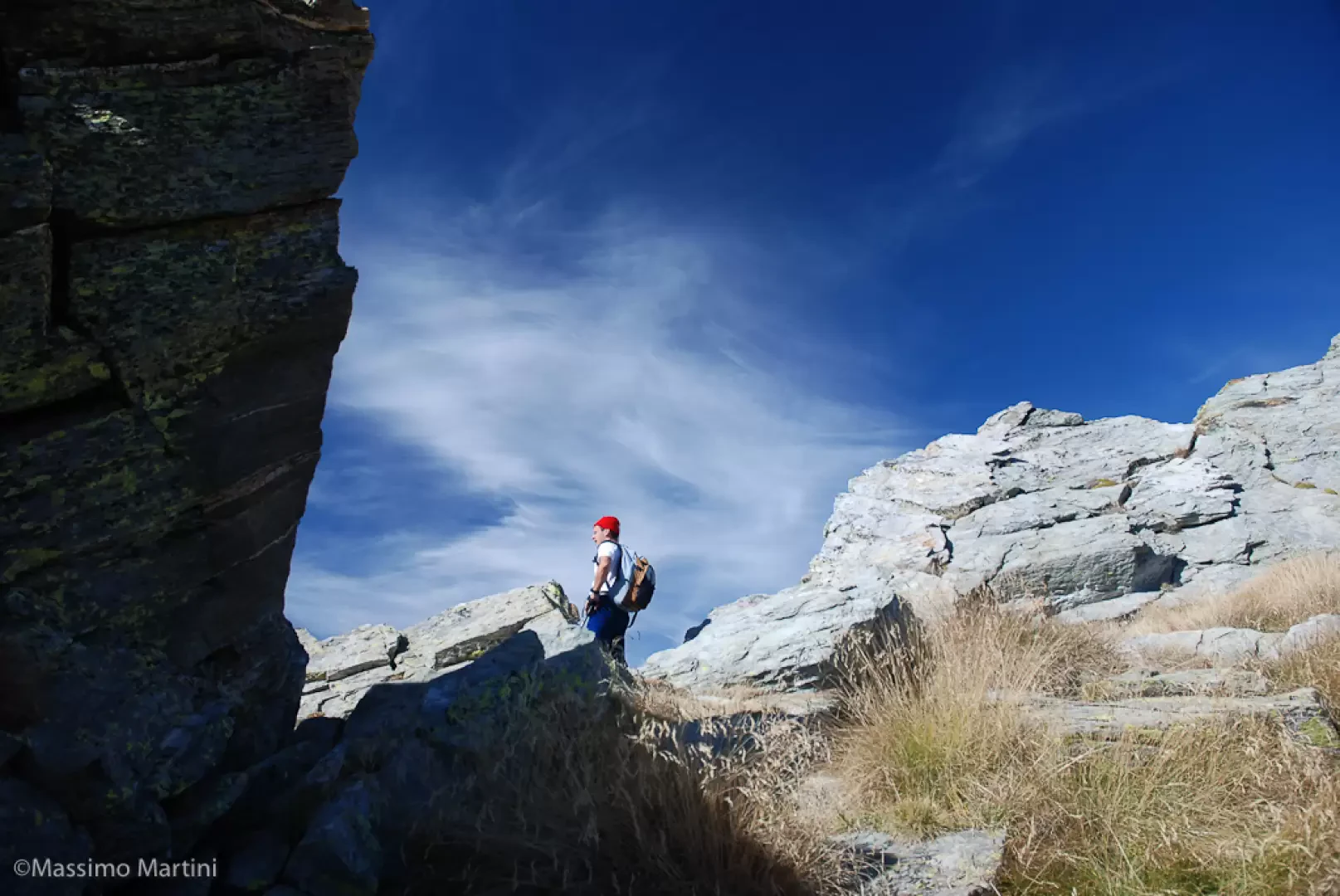
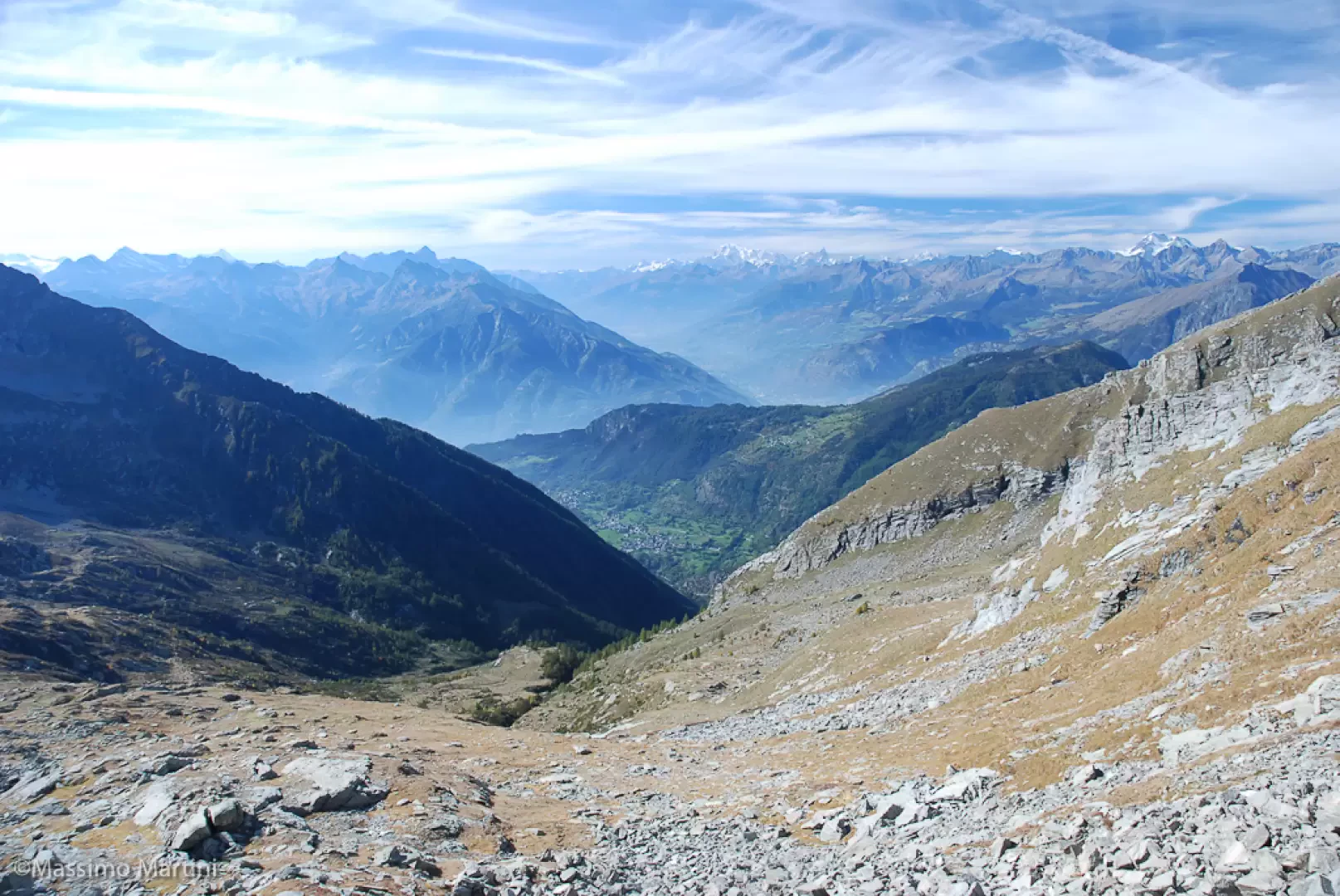
To reach the pass, pass in front of the Chlekch hamlets and begin to follow a faint trail accompanied by faded markers. One ascends a stony basin towards a grassy notch. When you reach the coastline, continue on the little path up the last stretch to the notch. After enjoying the beautiful panorama that opens up over the Chasten valley, in the Ayas, we descend briefly until we come back to the rocky ridge; from here, we proceed on the grassy ridge, quickly meeting a small path that, almost flat, cuts across the ridge until we reach the notches of the Chasten pass: we proceed until the last one that represents the pass (2609m, 4h45').
From the col, descend towards Issime, passing over a small rocky escarpment; following the markers you enter the beautiful pastures until you reach the small masterpiece of rural architecture of Alpe Balma Longa. From here you descend, still following a path with yellow bolts, to Alpe Mehruy and from here back to the starting point on the same itinerary as the ascent.
General information
Signposts:
,
and s.n.
Recommended period: June, July, August, September
Sun exposure:East
Objective danger:none
Exposed sections:none
Useful equipment:normal equipment for hiking at medium altitude
Water: Künju
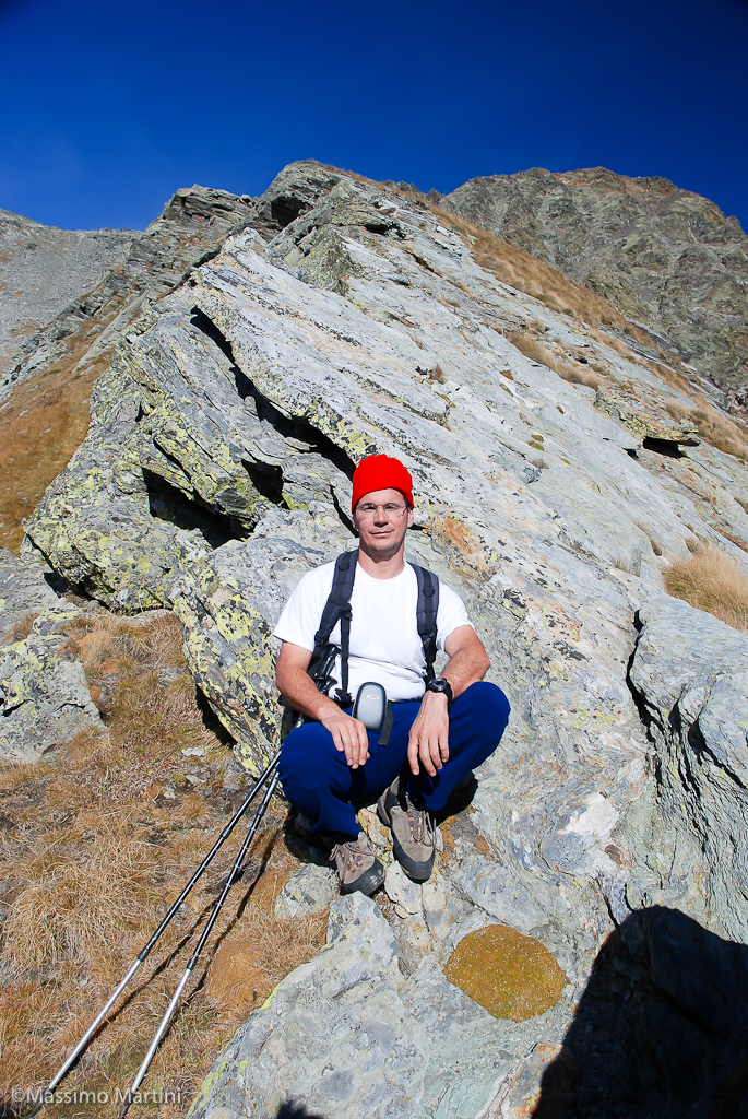
Galleria fotografica