Cheneil, from Cretaz

Introduction
A pleasant itinerary that takes place almost entirely within a forest, first of broad-leaved trees, then of conifers, far from cars. It follows the old mule track that connected Cheneil to Valtournenche, nicely described in French by Abbé [[Amé Gorret]] in his report on the [[Grand Tournalin]]. The signposting is excellent and the path is wide and mowed regularly. Only for a few hundred metres below Cheneil does the path narrow as it crosses pastures.
Description
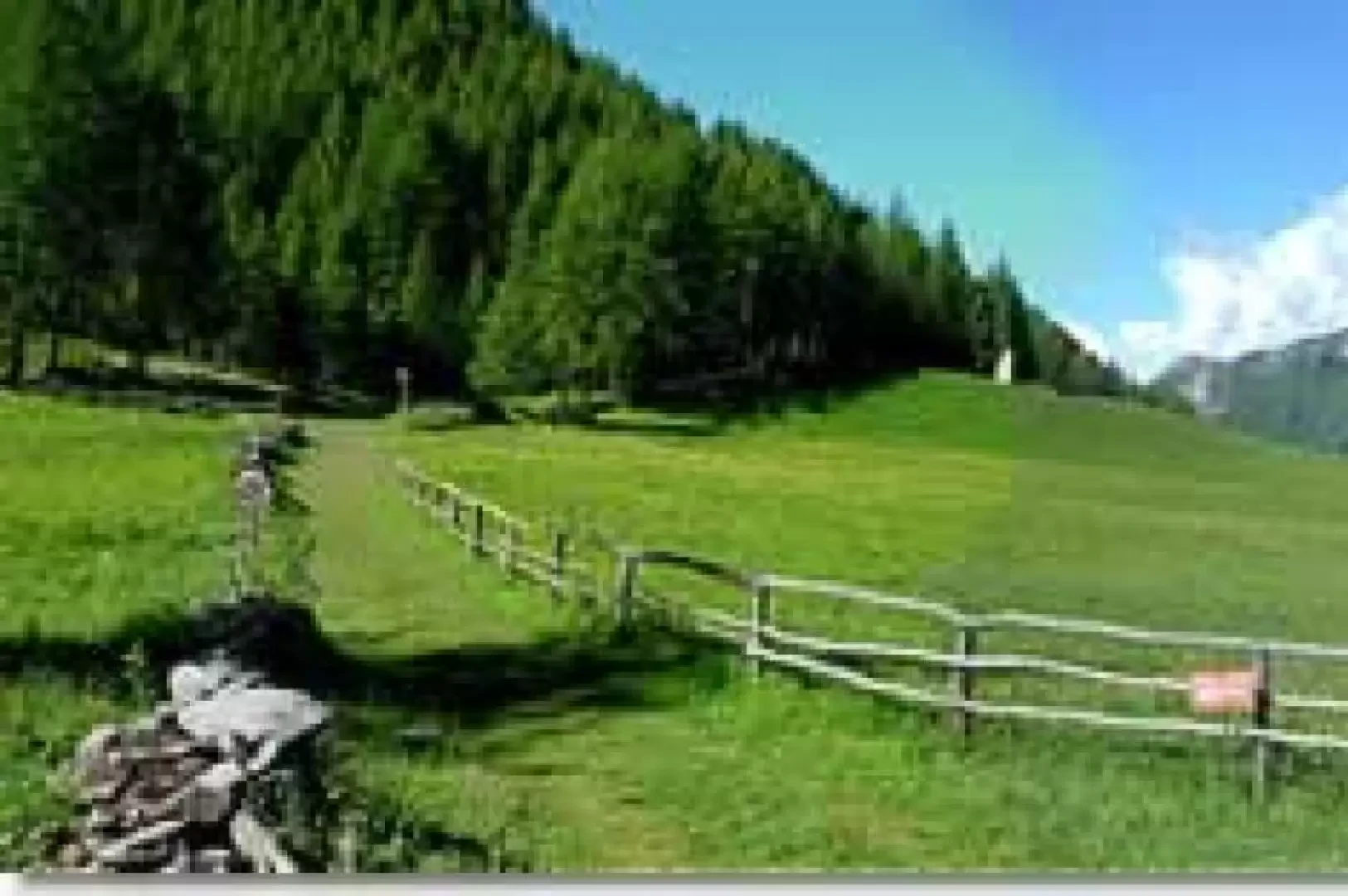
Leaving the car in the large forecourt in front of the swimming pool, we head on level ground towards the village of Cretaz, passing above the primary schools and shortly after the chapel we climb slightly, leaving the tarmac road to cross the village centre. In the charming little square of the wash-house, a plaque marks the birthplace of the famous mountain guide Luigi Carrel. Continuing along the path, you arrive at the bridge over the Cheneil stream and a cloud of fine splash reaches the path from its foamy white waters. A little further on, one enters the deciduous forest. The one-metre to one-and-a-half metre wide mule track climbs at an even gradient through the damp undergrowth. From time to time, pleasant glimpses of the Grandes Murailles and the hamlets of Valtournenche open up between the trees. The undergrowth is dotted with blueberries and strawberries, rhododendrons and myosotis. Only the low, continuous sound of the waters of the torrent accompanies the steps of those who walk along this mule track. At intervals one hears the calls of birds in the trees. No other noise interrupts the stillness of the forest. Gradually, larches and firs take the place of broad-leaved trees. After an initial clearing, which is home to a small isolated house, we arrive at the beautiful Promindoz plateau: the origin of the place name, according to Abbé Gorret, is linked to the amateur terms Pro (meadow) and Mindo (clean). The reference to the cleared meadow alludes to the cutting of the forest in medieval times to obtain new cultivable areas. On the other side of the valley, the Promoron pumping station can be seen in the distance. In it, water from Lake Perrerès is pumped up to the Cignana dam from where underground penstocks lead down to the Maen hydroelectric power station. Continuing along the path, you re-enter the larch forest, passing among the splendid red blossoms of the rhododendrons. You then enter a small valley carpeted with dwarf alders, which the mule track climbs in narrow hairpin bends. Suddenly, the first Cheneil pastures open up, dotted with violets, anemones and gentians. In a few minutes you reach the first houses and then the entire village: one of the very few inhabited areas in Valle d'Aosta not yet reached by the asphalted road. The return journey is along the same route as the outward journey.
Tips 📎
The altitudes shown on the Alta Via vertical signs differ by a few metres both from those shown on the mountain community signs and from those shown on the official regional maps. To avoid creating further confusion by providing another set of altimetric data, I have approximated the main altitudes so that the traveller can refer to any of the altitudes given in the tables. I would point out, for example, that the arrival in Cheneil is for the Mountain Community at an altitude of 2088 m, for the Alta Via signposts at 2105 m and for the official cartography of the region at 2115 m. These are annoying differences but of no practical effect. If an average hiker climbs 350 m in an hour, a difference in altitude of 35 metres can be made up in just over 5 minutes, a derisory amount of time compared to the average duration of these routes.