Gian Mario Navillod
Wrote 44 reports, for a total distance of 14,28Km up and a total elevation gain of 27,71Km and 263 hours of walking
Active filters:
User: 447
Showing 45 results
with active filters
Loading...
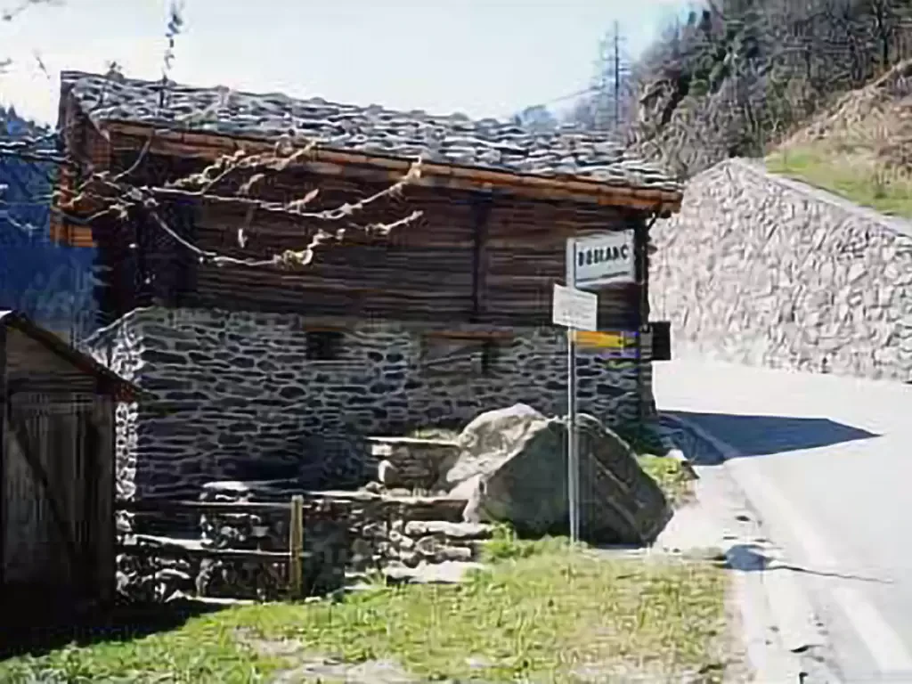
Tête du Mont, from Dublanc
A splendid viewpoint over the Champorcher valley, passing through the uninhabited village of Barmelle. On arrival, a stunning view of...
T2
5.53 Km
955 m
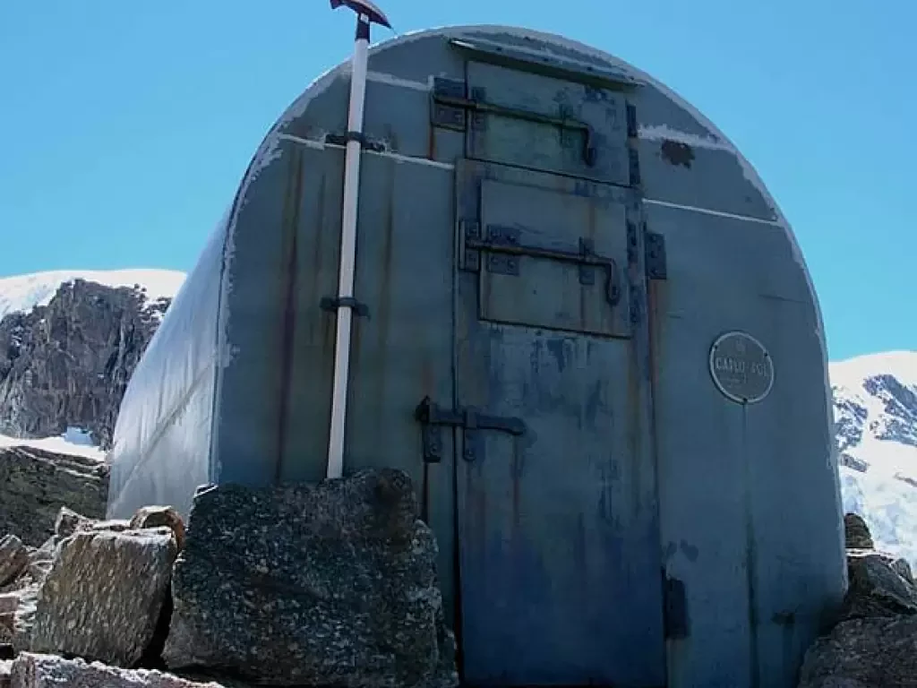
Bivacco Pol-Grappein, da Valnontey
Il bivacco Pol è costruito in uno dei luoghi più belli dell'intera Valle
d'Aosta. Si trova nel cuore del Parco...
F+
9.19 Km
1517 m
Covalou Gallery, from Fiernaz
A short walk up a sunny slope to the entrance of the underground canal that feeds the Covalou hydroelectric power...
T2
0.00 Km
250 m
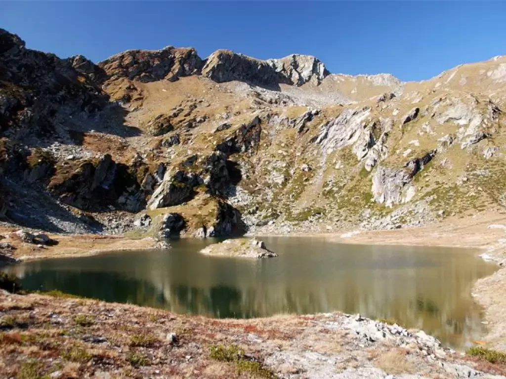
Lac Chilet, from Outrelève
A pleasant route along a valley that has not yet been defaced by dirt roads, digger tracks, power lines or...
T2
0.00 Km
1002 m
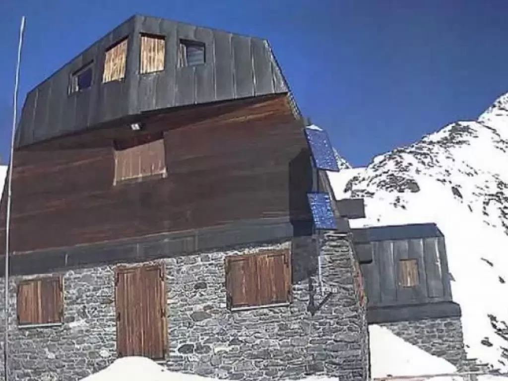
Ayas Guide Refuge, from the Frachey car park
High mountain route for experienced hikers only. The recently built refuge is located on a spire surrounded by glaciers and...
T3
0.00 Km
1730 m
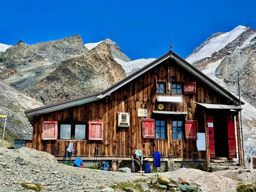
Mezzalama Refuge, from the Frachey car park
A pleasant and varied route to discover the magical world of glaciers towards one of the classic destinations for ski...
T2
0.00 Km
1314 m
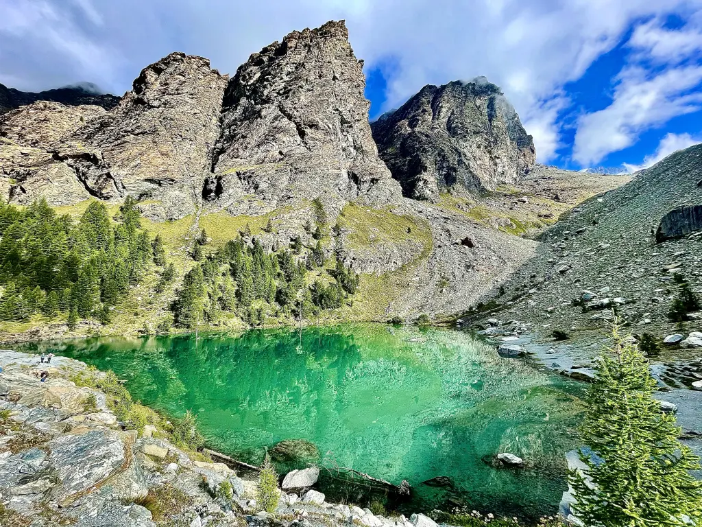
Blue Lake Verra, from the Frachey car park
Easy route across the enchanting Verra plateau and up a section of the moraine of the same name to the...
T2
7.00 Km
525 m
Crête Sèche via ferrata, from Ruz
More than a via ferrata, this itinerary is a beautiful walk between earth and sky straddling the ridge that separates...
F
0.00 Km
1354 m
Rivolta Bivouac, from Etirol
A splendid hike in a wild corner of the Valtournenche. The ascent to the Rivolta Bivouac and the nearby Col...
T2
16.32 Km
1320 m
Lake Charey, from the Artaz car park
Lake Charey is located at the foot of Mont Tantané: a walk for the family.
T2
6.00 Km
410 m
Grand Tournalin, from La Barma car park
This is a demanding route both in terms of the total height difference and the delicate and exposed passage below...
T3
0.00 Km
1347 m
