Nearby
📍 Location Details
Latitude:
Longitude:
Accuracy:
Updated:
0 km
100 km
Path
km
-
km
m
m
Hike Type
Round trip
Circular
Crossing
Partially circular
Recommended Period
All
Hiking
Snowshoeing
Ski-mountaineering
Mountaineering
Via ferrata
Climbing
Mountain bike
Trekking
Active filters:
Tags: metropolitan-city-of-genoa
Showing 83 results
with active filters
Loading...
Edited by:
Maurizio Loconti
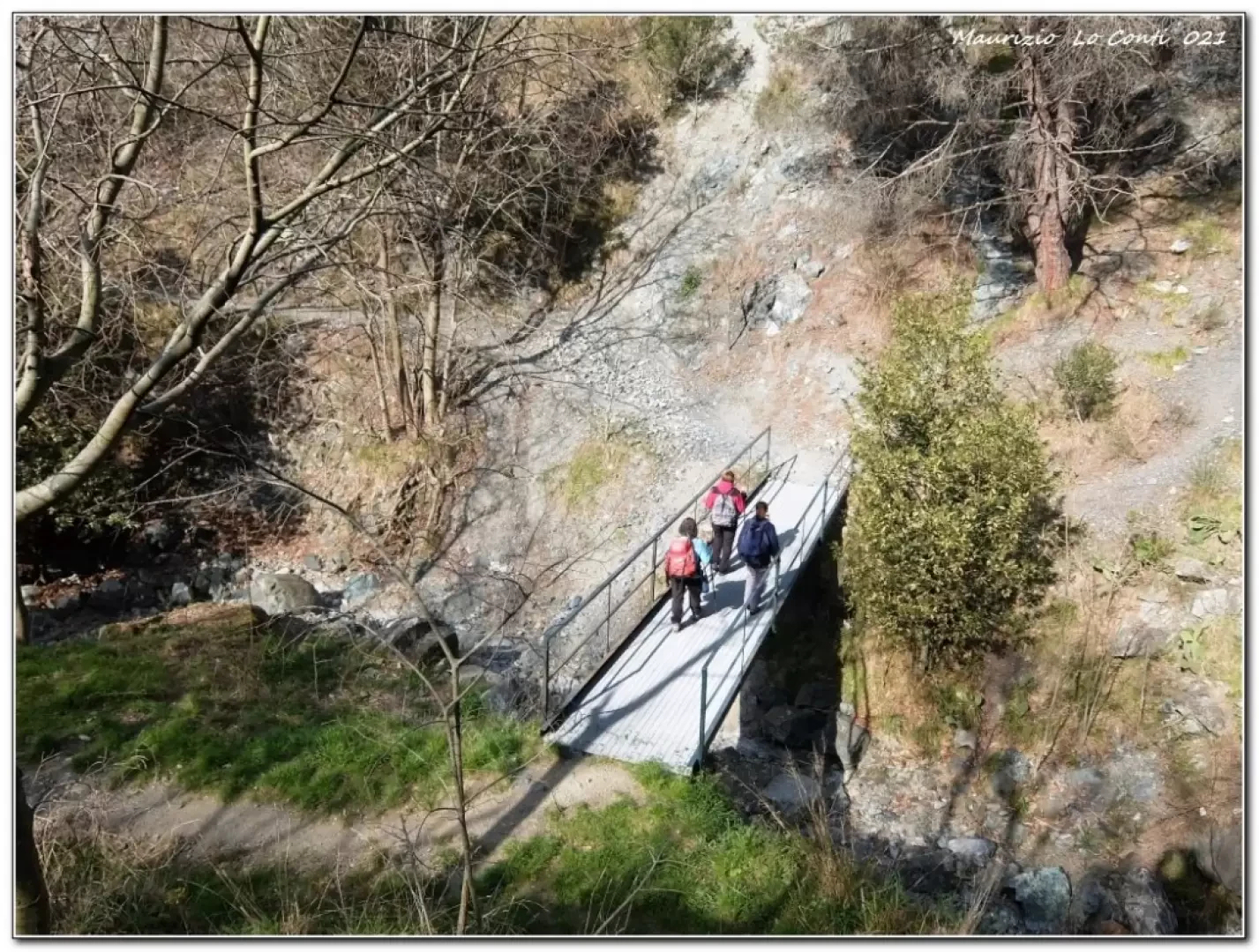
Cassinelle Abbey, from Borzoli
In this area, the various footpaths have been neglected for several years, due to brambles, a number of landslides and...
T2
8.16 Km
406 m
Edited by:
Maurizio Loconti
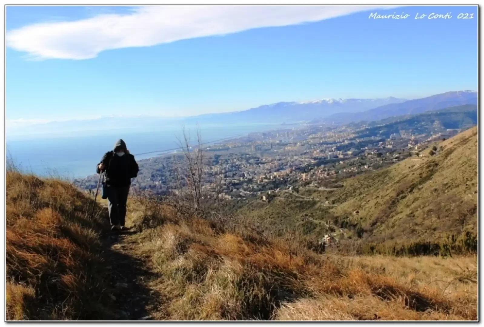
Aegua du Perteusu, from Corso Europa
The initial path, despite there being no signposts – fortunately – is
unambiguous, little-known and, therefore, deserted. It has a...
T2
7.47 Km
542 m
Edited by:
Maurizio Loconti
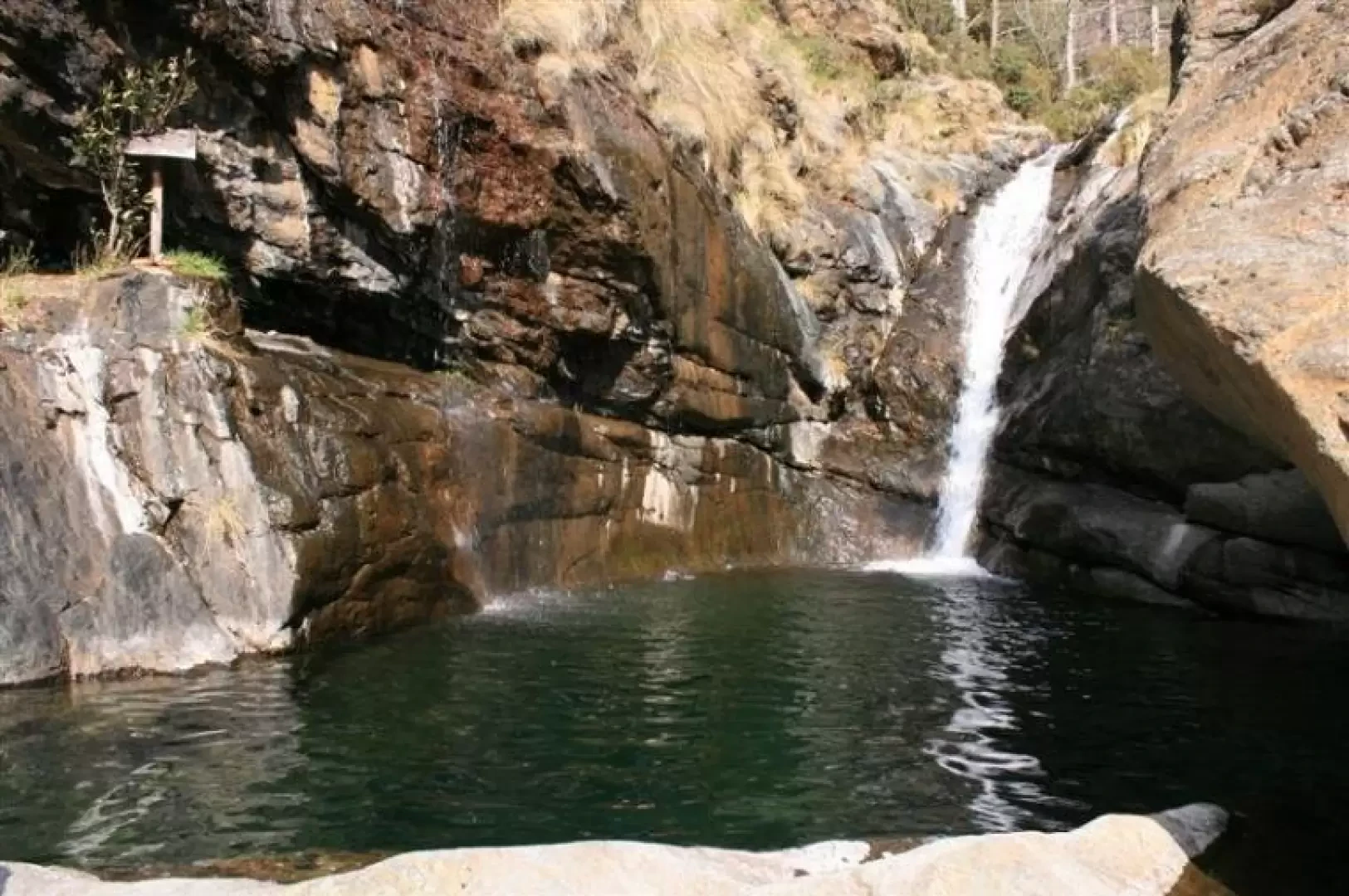
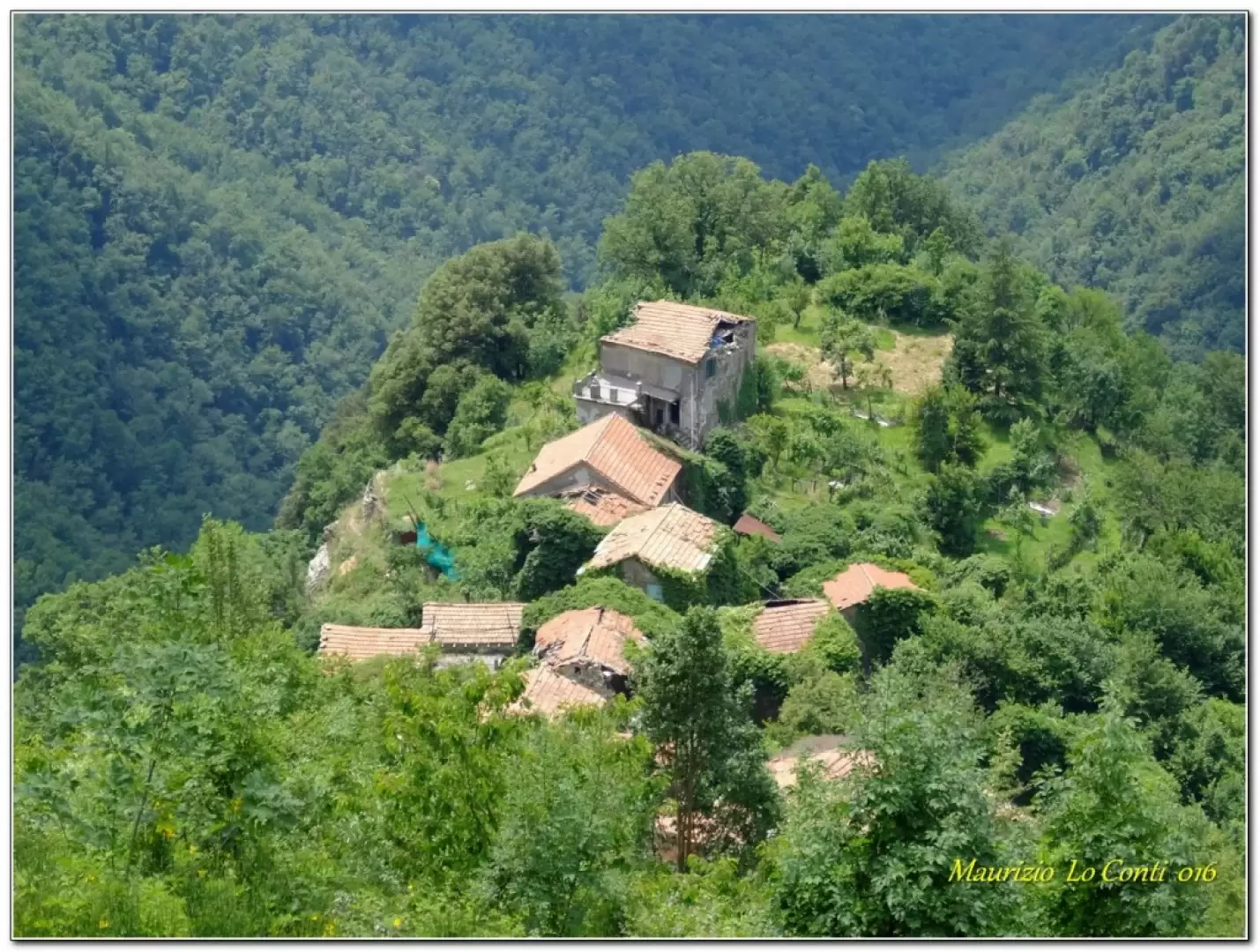
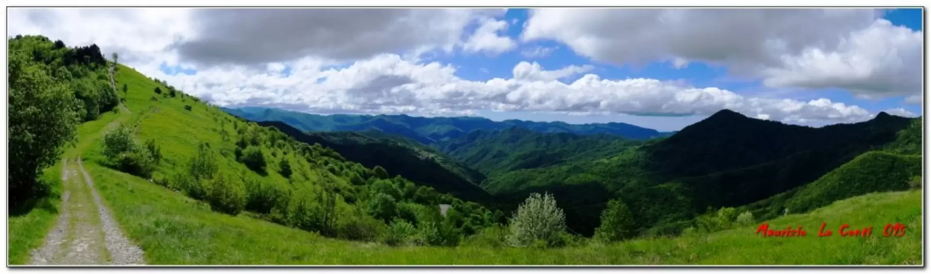
Upper Val Leone, from Agueta
A beautiful circuit in the upper Val Leone, inland from Arenzano.
T3
13.80 Km
500 m
Edited by:
Maurizio Loconti
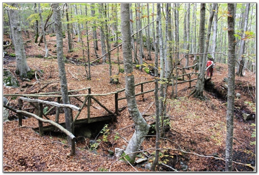
Fascia Ring
Back to Pian della Cavalla, above Fascia, amidst a sea of daffodils...
T2
5.00 Km
200 m
Edited by:
Maurizio Loconti
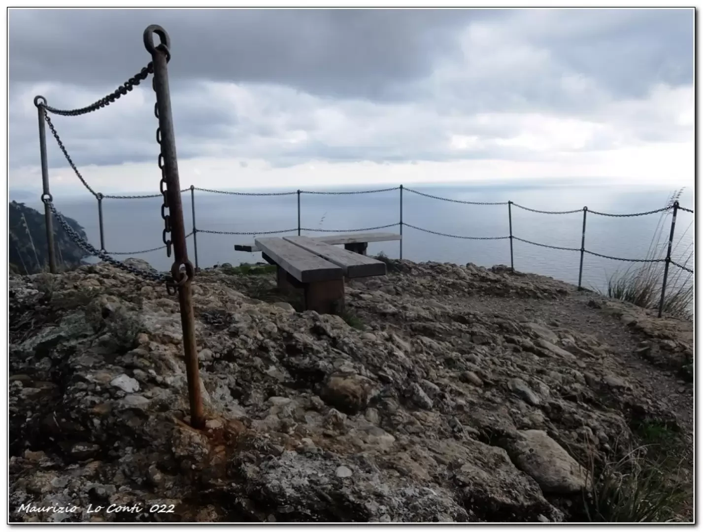
Forest of Blades Ring
Glacial wilderness in the Val d'Aveto: a ring in the Lame forestAcross the two nature trails and one of the...
T2
0.00 Km
450 m
Edited by:
Maurizio Loconti
Base Zero, from Nozarego
A loop along the Portofino mountain that always gives splendid sensations.
T2
10.00 Km
456 m
Edited by:
Maurizio Loconti
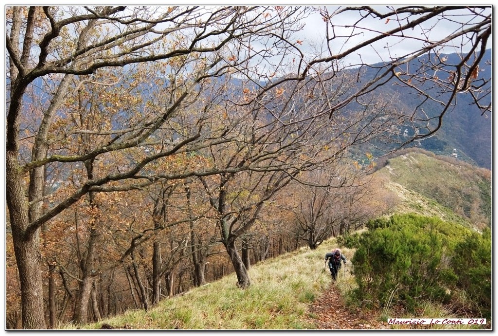
Bavari-Marassi: along the ridges fortified by the Savoys
Panoramic ridge descending towards the city of Genoa.
T2
7.00 Km
400 m
Edited by:
Maurizio Loconti
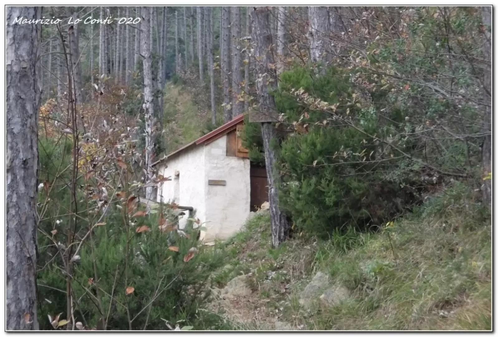
Bivacco Sambugo, from Arenzano
A wonderful tour of the immediate Arenzano hinterland, which touches on various points of interest and has as its main...
T2
7.00 Km
362 m
Edited by:
Maurizio Loconti
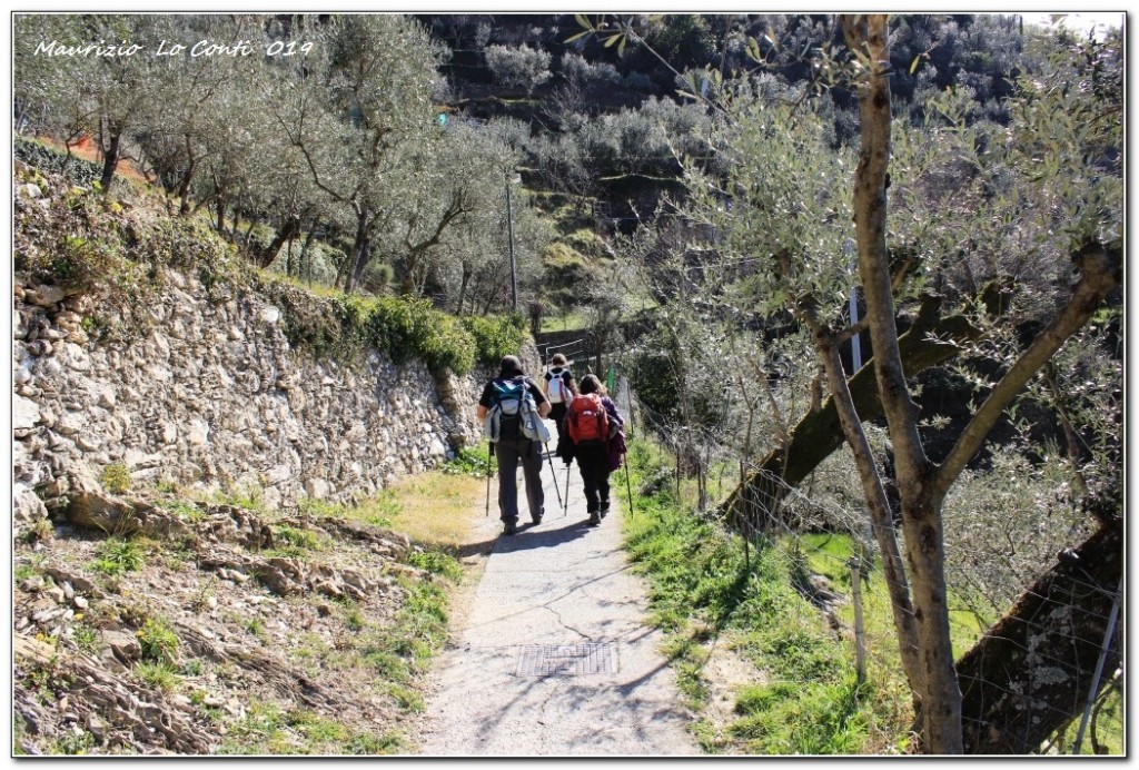
Bogliasco, from Sant'Ilario
The trail is well sheltered and the lesser-known section (after Sessarego) has recently been cleaned and resurfaced. Fine winter days...
T2
0.00 Km
150 m
Edited by:
Maurizio Loconti
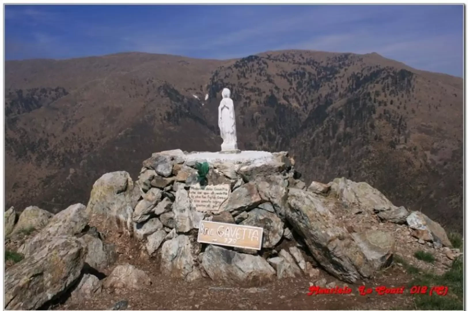
Bric Gavetta, from Agueta
A ring above Arenzano, shelters and paths between the mountains and the sea.
T2
11.50 Km
510 m
Edited by:
Maurizio Loconti
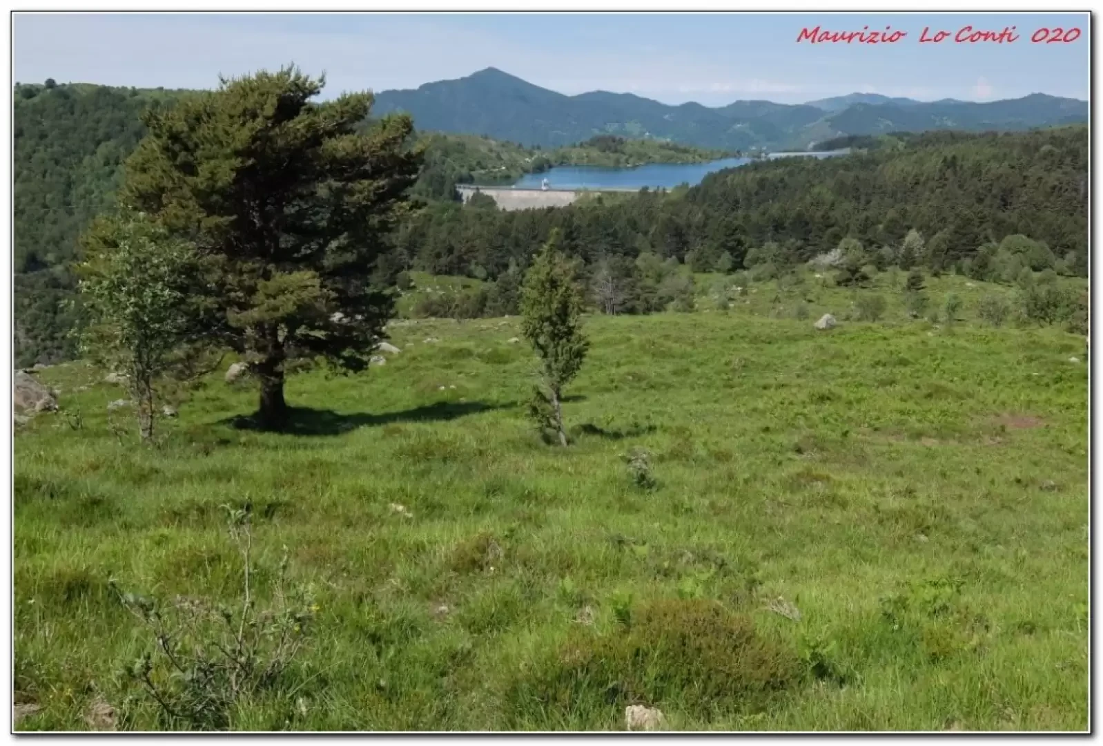
Chapel of the Blades, from Lake Giacopiane
The main reservoir is at 1015m; below it is a smaller one (Lake Pian Sapeio) and the two reservoirs are...
T2
12.00 Km
438 m