Bavari-Marassi: along the ridges fortified by the Savoys


Edited by:
Maurizio Loconti
Updated at: 03/11/2025
Access
Better to use the Genoa Amt buses than private transport.
Introduction
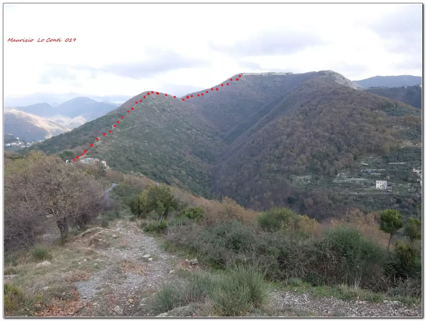
Panoramic ridge descending towards the city of Genoa.
Description
From the start in Bavari (310 m), reached by Amt vehicles, we climb through the forest to Forte Ratti (577 m - 1h15). Afterwards, you lose altitude on a track made slippery by many weeks of rain, proceeding very slowly. Continue following the ridges and passing by the Quezzi Tower. Finally, you descend towards Marassi, coming out of the stadium (2h15)... Always by bus back home. The trail is partly signposted by Fie volunteers, but to maximise the results, it is sometimes abandoned, mostly following the scenic ridge. Although there are no signposts, the trail is always well marked and does not present any particular orientation problems.
In short: Height difference +400m -700m, Diff. E, 3h30 tot. + the visit of the Ratti fort and other breaks
If you want, here is the pdf photo file, with a bit more news:
http://www.cralgalliera.altervista.org/BaMaGitaBavariMarassi019.pdf
http://www.cralgalliera.altervista.org/anno2019.htm
http://www.cralgalliera.altervista.org/altre2019.htm
NB: in the case of an excursion, always check with FIE, Cai, any park authorities or other institutions, pro loco, etc, that there have been no changes that have increased the difficulties! No liability is accepted. This text is purely indicative and not exhaustive.
General information
Trail signposting: only in part with FIE symbols
Type of route: traverse
Recommended period of time: October, November, February, March, April, May
Sun exposure: south
Photo gallery


Comments (0)
Sign in to leave a comment