Tsa d'Ansermin, from Barliard

Edited by:
Benedetto Lorusso
Updated at: 16/09/2024
Access
You take the Turin-Aosta motorway, exiting at the Aosta East barrier and continuing in the direction of the Gran San Bernardo tunnel; as soon as you come out of the second tunnel, turn right in the direction of Valpelline, after which, after about a kilometre, you turn left for Ollomont.
Continue towards the bottom of the valley as far as the village of Vaud, and stop at the small car park above the village.
If you wish, you can continue as far as Barliard (fork to the left) where there is another small car park beyond which the road continues as a road between the two valleys.
Introduction
Beautiful excursion of medium difficulty in a wild and little-visited environment in winter. It can also be done on skis, and on the descent it is best to go via the Chevriere. The term 'tsa' refers to the highest hut in an alpine pasture. The term 'tsan' with the meaning of 'champ, field' is also used in Switzerland (e.g. Nernetzan, field of the Fates, near Berolle in the Jura).
Description
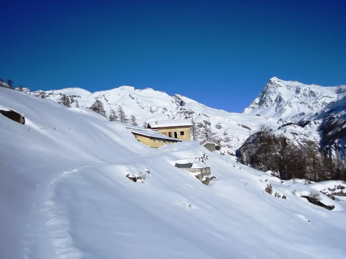
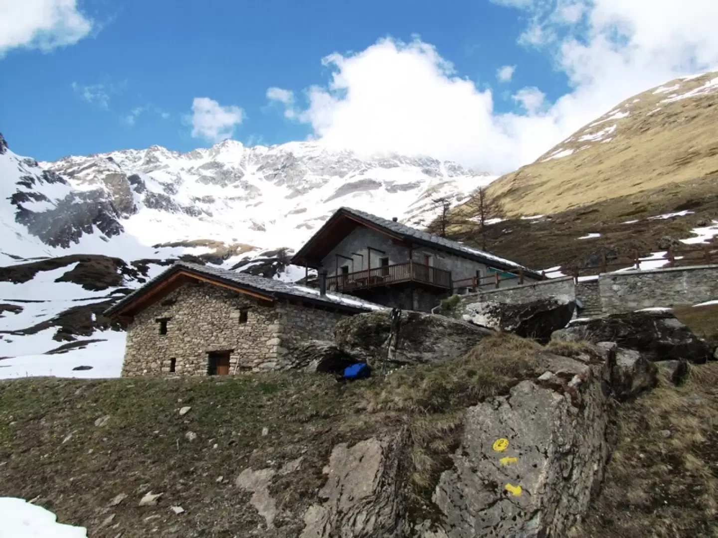
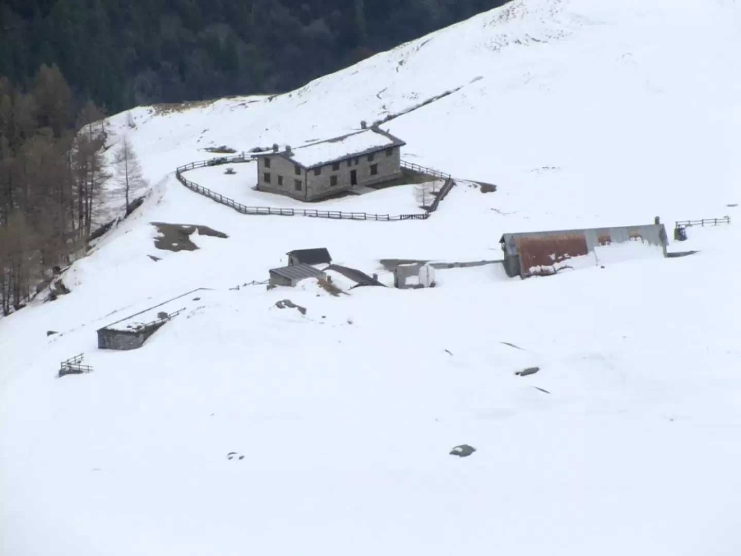
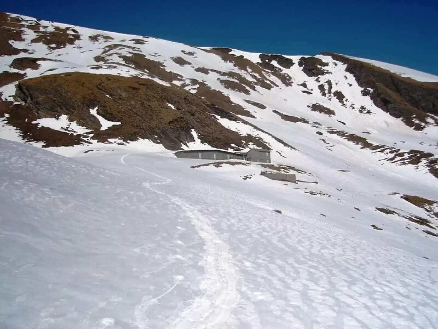
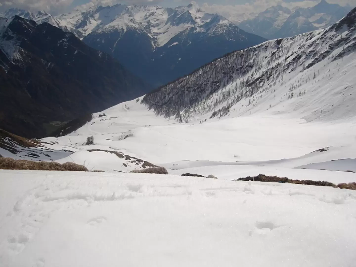
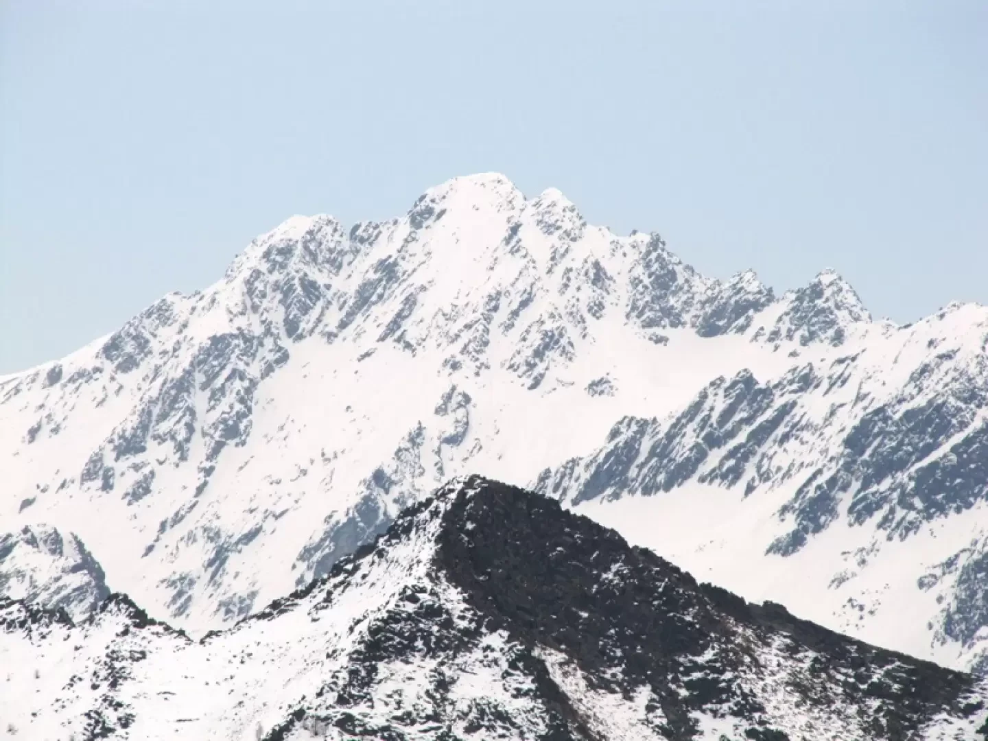
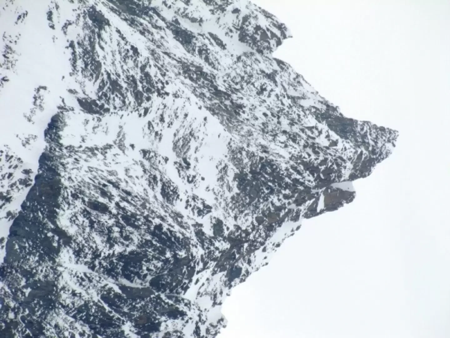
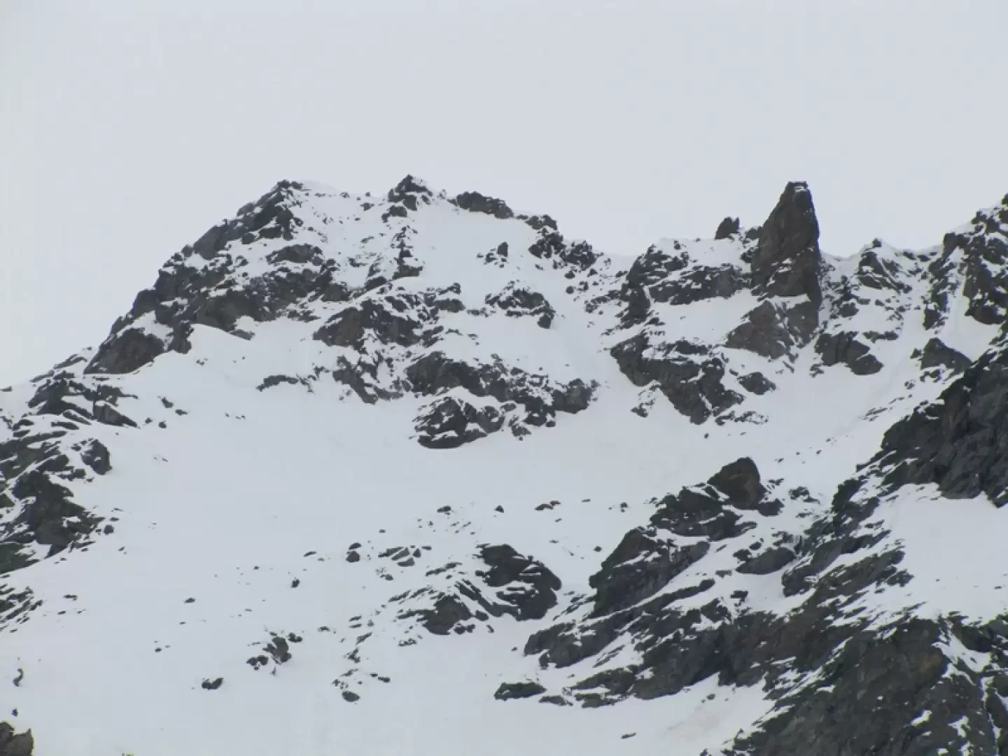
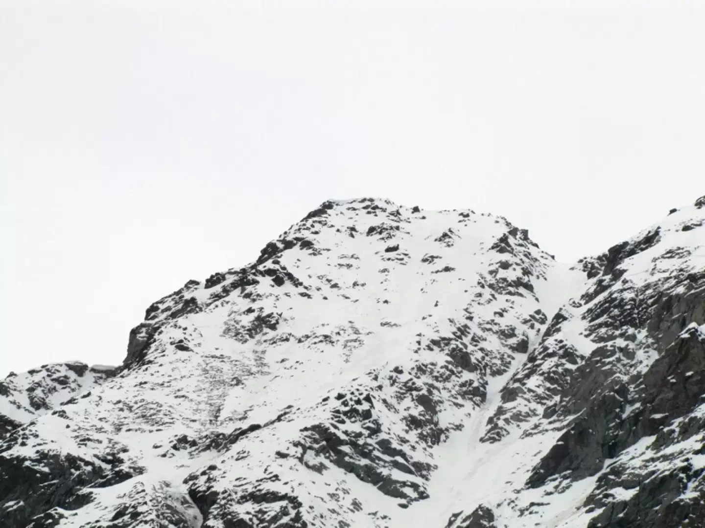
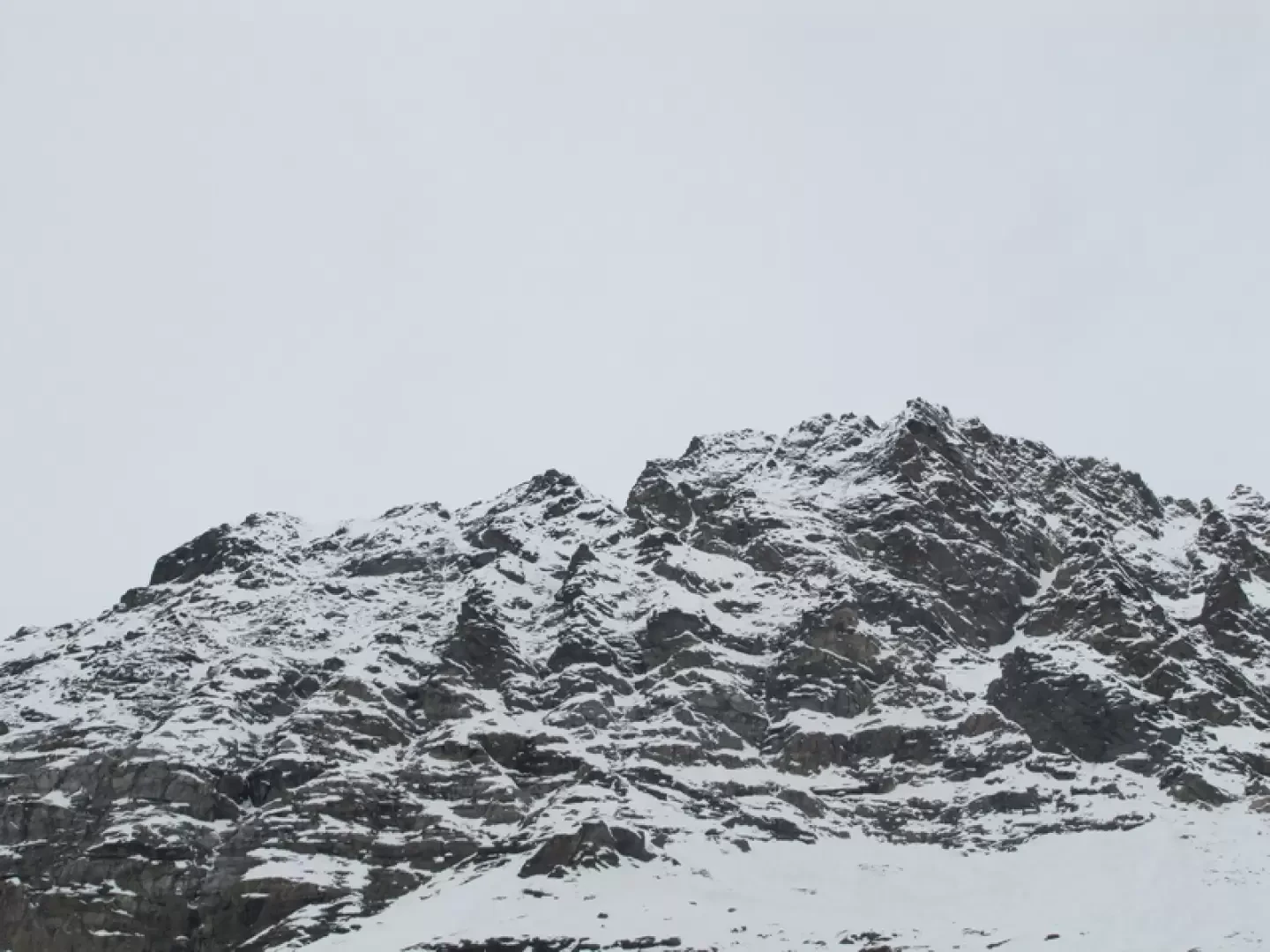
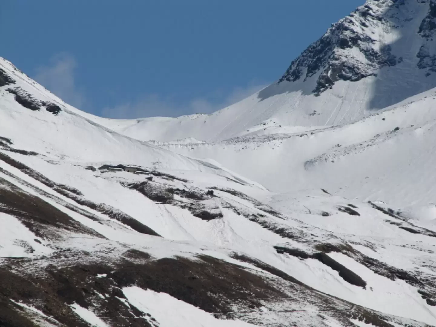
From the car park, continue for about a hundred metres towards Glassier to take a path on the left (signposted La Chevriere) that steeply leads to a barn where the cross-country road from Barliard passes. Follow it southwards for a long time until the first of ten hairpin bends leading to the source of an aqueduct, then a few hairpin bends in the forest and just before the traverse that leads to La Chevriere, just before a little wall at the side of the road, take a path on the left that climbs up the forest to join the bridle path from Doues to By. If you don't find this path, continue to La Chevriere (watch out for the slope on the left) and continue along the inter-farm track from By to Doues. When the path turns sharply to the north, you can leave it and go up the forest to the cross-country track (shorter, but steep and strenuous). Continue on the cross-country trail towards the south to the Ansemin alpine pasture, 2070 m. From this alpine pasture, a bridle path goes up to the Tsa. It is not advisable to follow it (snow often covers it and is not visible). Behind the alpine pasture, go up the slopes of the comba di Cretes, and cross the cross-country road at a crossroads, with the TDC (Tour du Combin) track to the left. You then climb diagonally up the slopes of the southern slope of Mount Rotondo, cross the cross-country road again to abandon it again and climb directly to the Tsa, now visible, via moderately steep slopes. Surrounded by the mountains of Ollomont. Behind the Tsa from south to north the Chenaille, the Tete des Cretes and the Salliousa, in front from the col Fenetre to the mountains of Valpelline, and towering boldly over the Fiorio peak, queen of the Morion chain. If you wish, on the way back, you can reach Alpe Ansermin and reach the little chapel of Champillon, passing through the Cretes locality that gives its name to the comba. Below it, to the east, before the forest, you will see a marker post. Reach it (steep at the start) then follow the marked path through the forest, easily spotted, past the ruins of Les Prunayes, to the ru de Doues that leads back to Vaud (thirty-metre tunnel along it). Two hours from Alpe Ansermin.
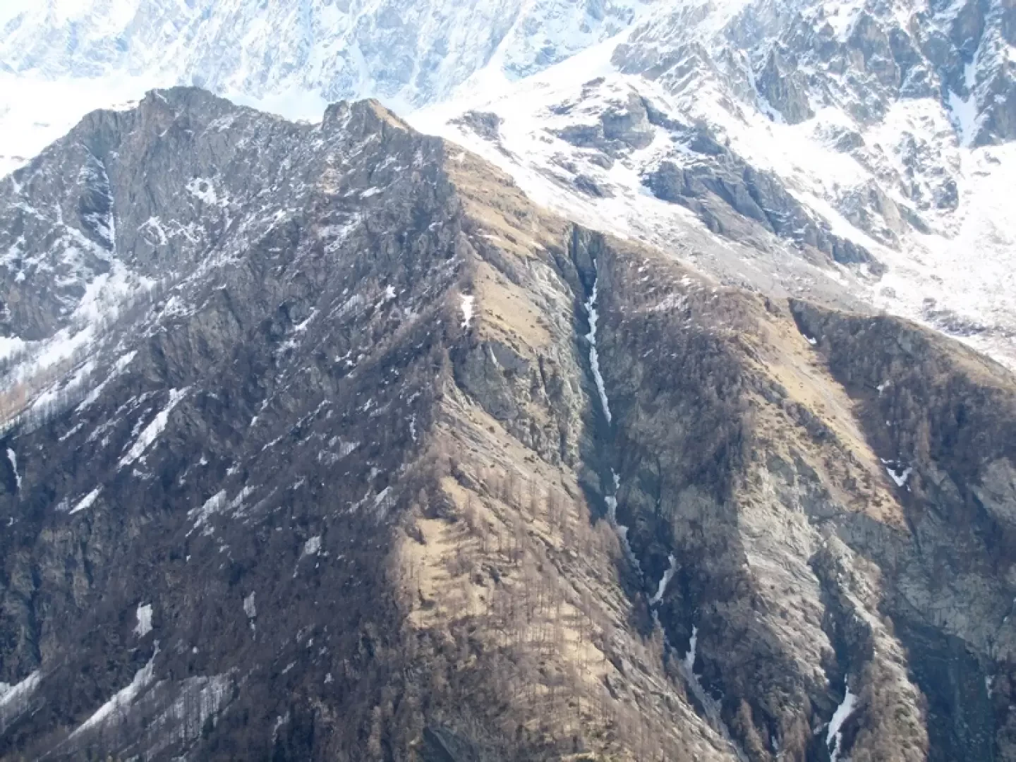
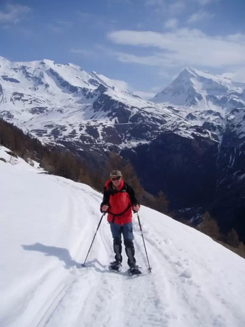
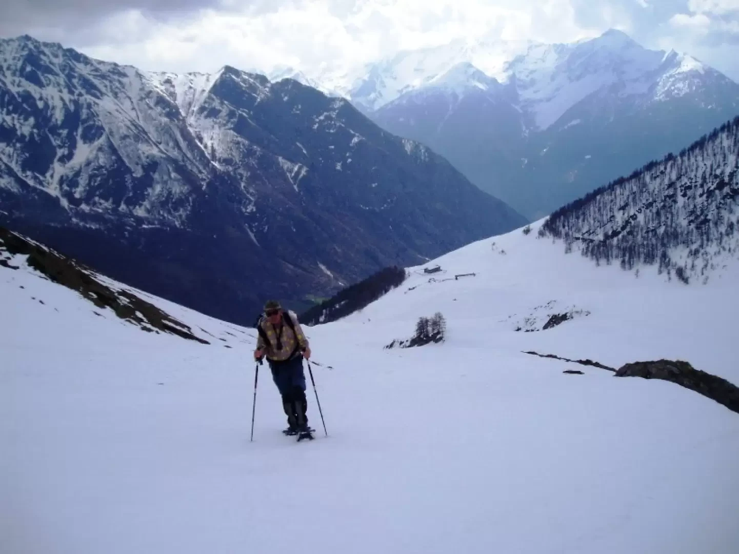
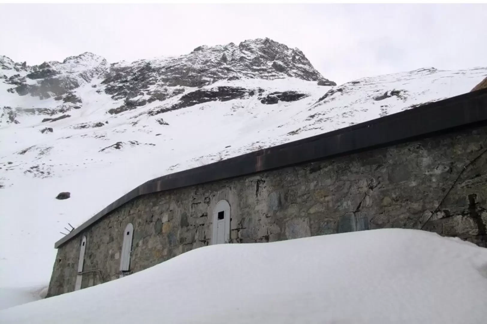
Galleria fotografica