Sécheron, from Vens

Edited by:
Massimo Martini
Updated at: 30/06/2026
Access
Navigazione stradale
Lasciare l'autostrada allo svincolo di Aosta Ovest e immettersi sulla strada regionale , seguendola per 950m (0,95km). Alla rotonda, svoltare a sinistra in direzione Courmayeur sulla strada statale e attraversare l'abitato di Saint-Pierre per 2,6km (3,55km). Tenere la destra su Rue Corrado Gex, proseguendo sulla strada regionale per 330m (3,88km), quindi svoltare a destra in Località Pommier continuando sulla per 3,5km (7,38km). Svoltare a sinistra rimanendo sulla per altri 4,6km (11,98km) sino al bivio di Vens. Svoltare a sinistra imboccando la strada regionale di Cerellaz e risalire per 7,95km (19,93km), attraversando i villaggi di Chez Louvitoz, Clavel e Cerlogne. Lasciare la e immettersi su strada comunale, proseguendo per 84m (20,01km) fino al tornante, poco oltre l'abitato di Vens, dove si trova il parcheggio.
Parcheggio
Poco oltre l'abitato di Vens, in corrispondenza di un tornante, si trova un parcheggio 🅿️ gratuito con una dozzina di posti.
Accesso con mezzi pubblici
Per raggiungere il punto di partenza dell'itinerario è necessario un mezzo privato, poiché Vens non è servita da trasporti pubblici.
Distanza e tempo di percorrenza
🕒 Tempo di percorrenza: 30 minuti
📏 Distanza: 20,1km
Navigazione GPS
Nota informativa
Le indicazioni fornite sono state verificate alla data del rilievo dell'itinerario. Prima della partenza si consiglia di verificare possibili variazioni del percorso o delle condizioni stradali. Per informazioni aggiornate si raccomanda di consultare Google Maps o Apple Maps.
Introduction
Short route across the broad ridges of the Becca d'Aouille. The route is almost entirely south-facing so it gets sunshine entirely and for a long time: this allows you to enjoy beautiful winter days but at the same time reduces the duration of the snow.
Description
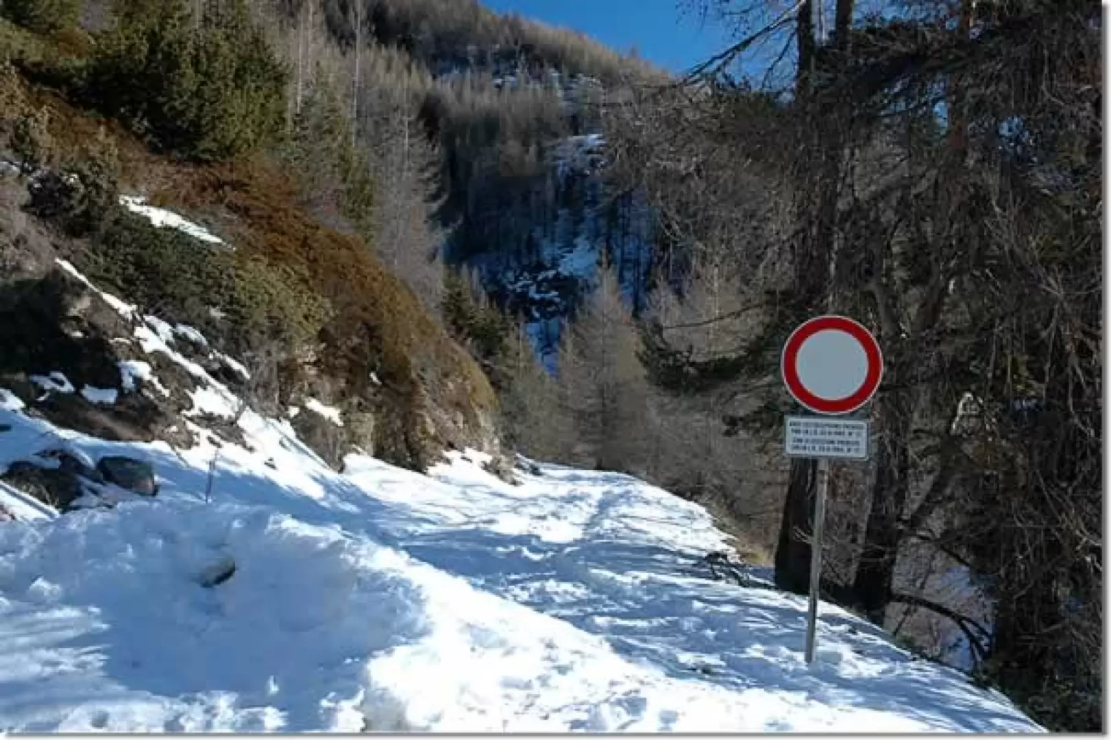
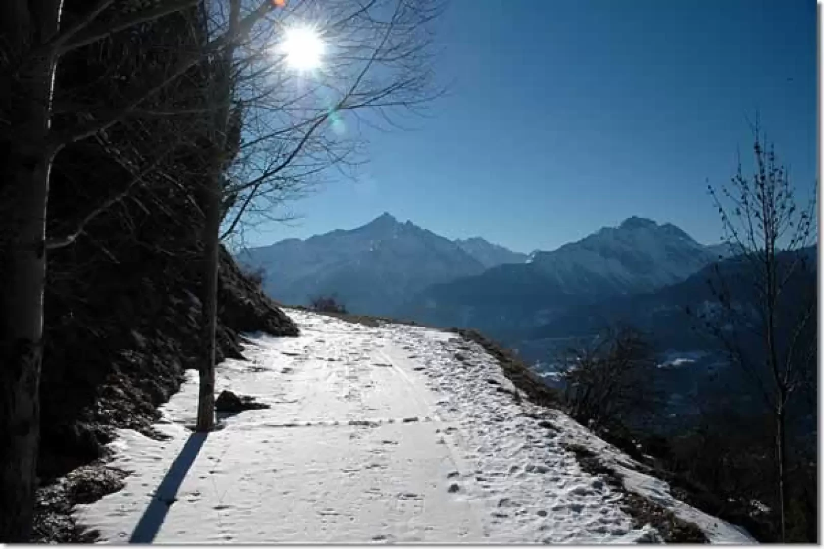
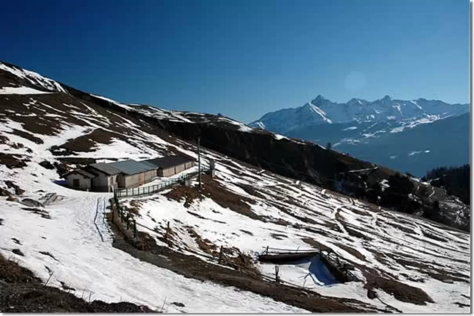
Leaving the car behind, we take the snow-covered track that initially proceeds on a slight slope, after a few minutes the track turns to the right and we immediately come upon a beautiful view of the Grivola. The path now proceeds turning slightly to the left, taking us onto a wide balcony overlooking the central valley. Having passed the crossroads for Vedun, signposted by a post, we continue marching slightly uphill until we reach the alpine pastures of Leitanaz (1867m, 0h20').
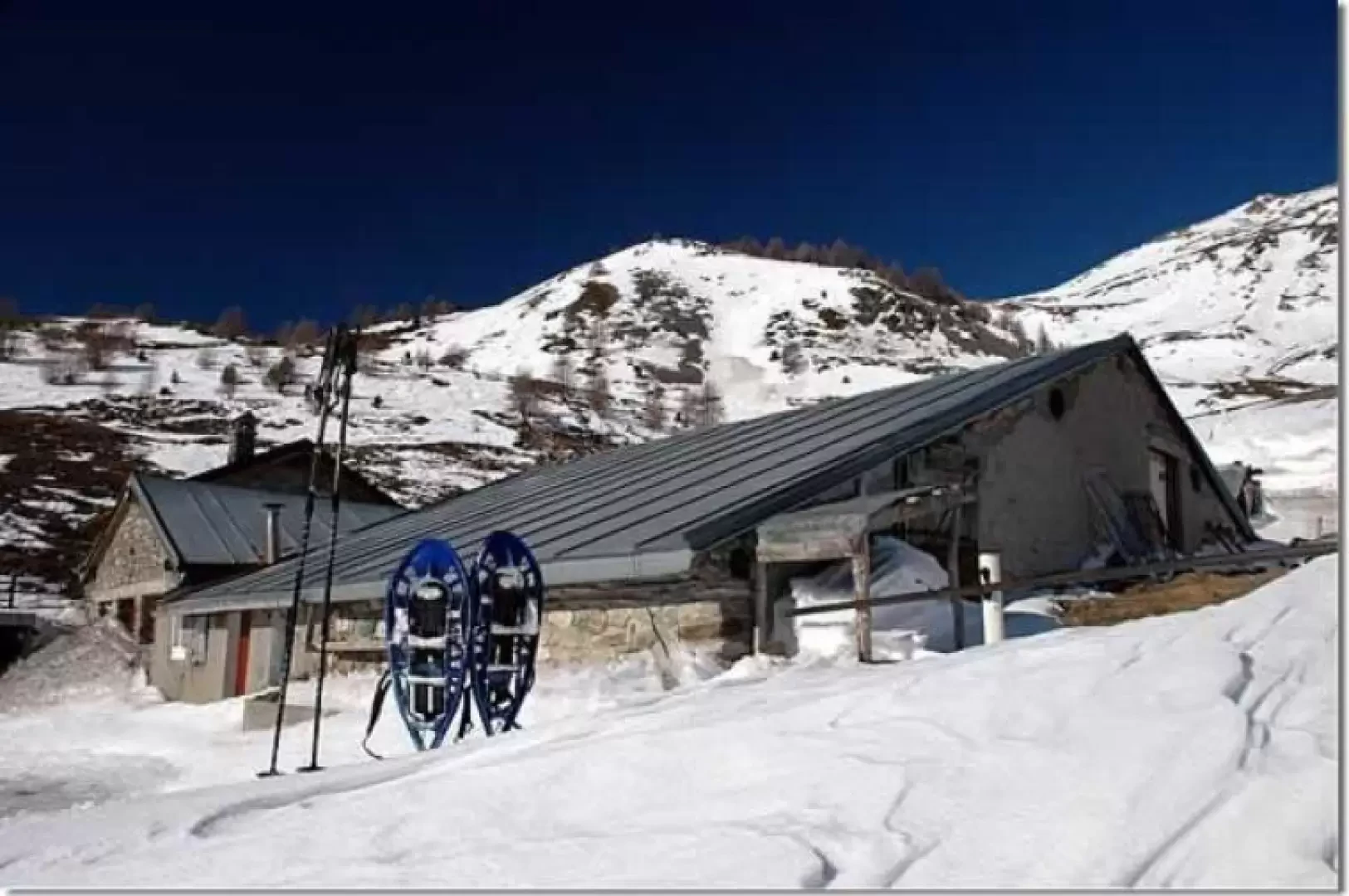
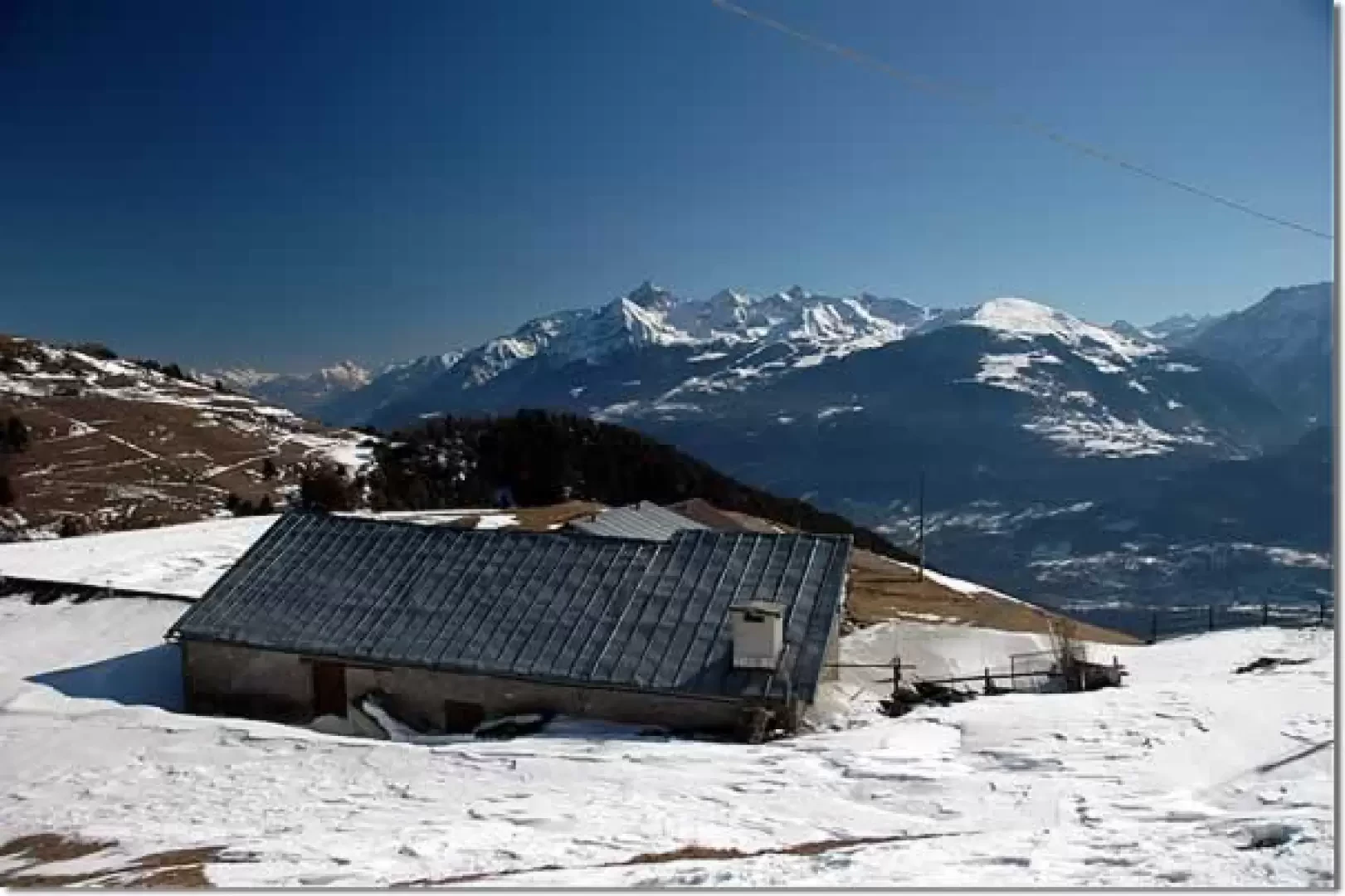
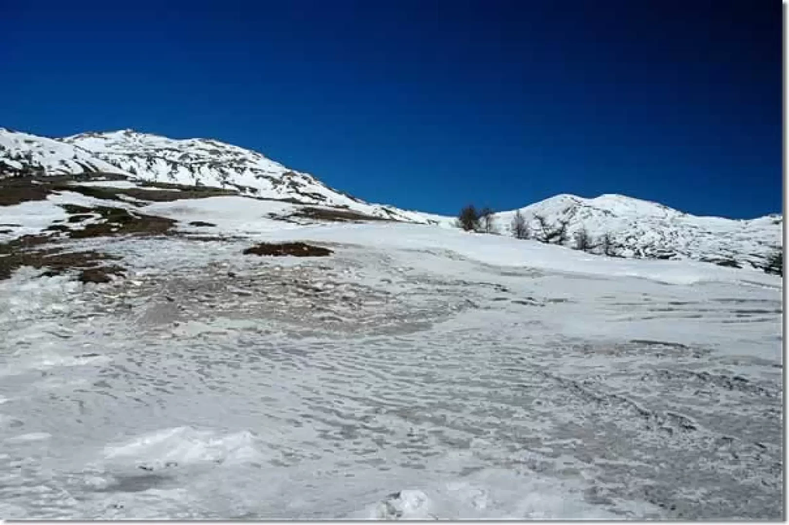
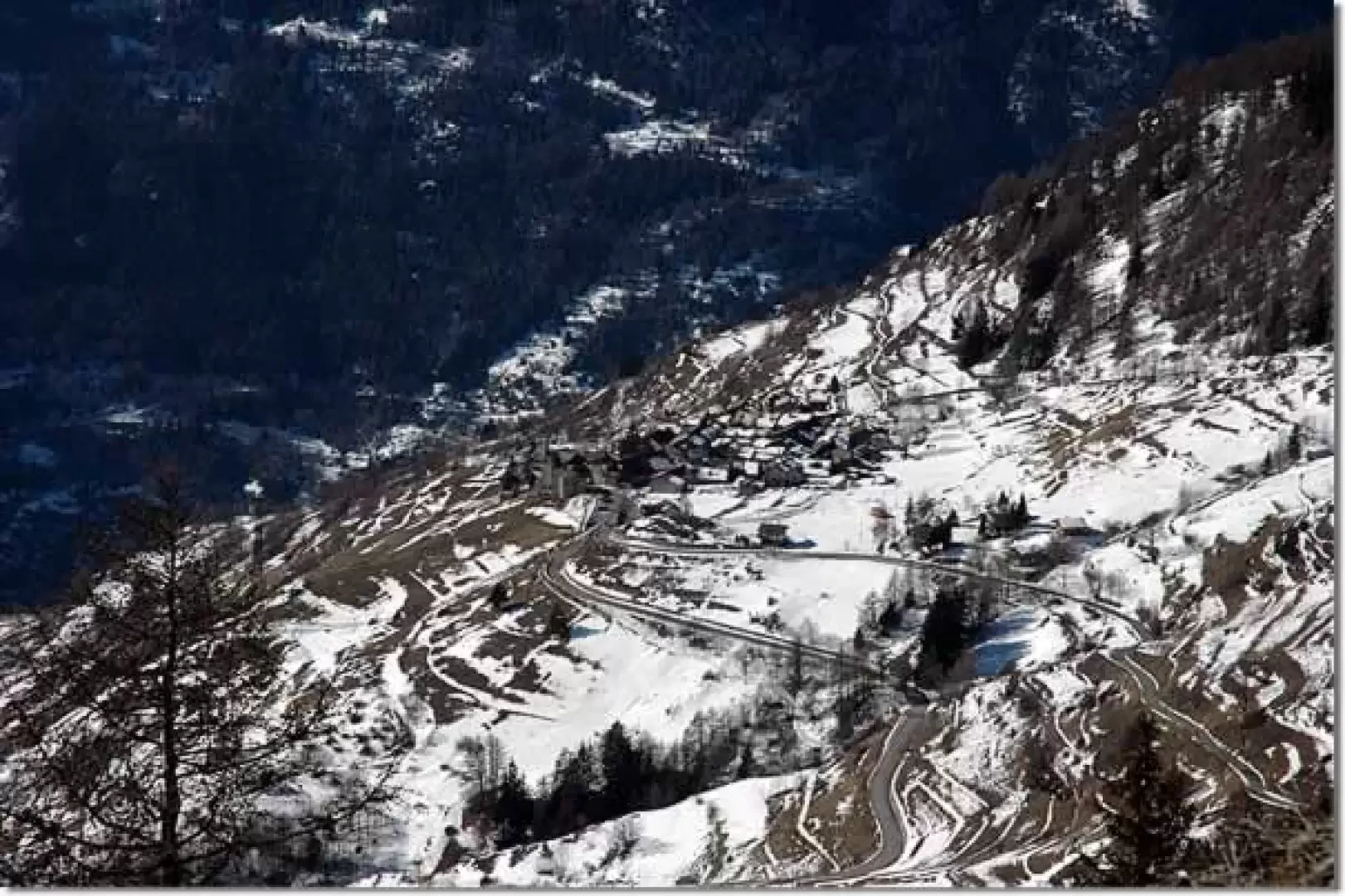
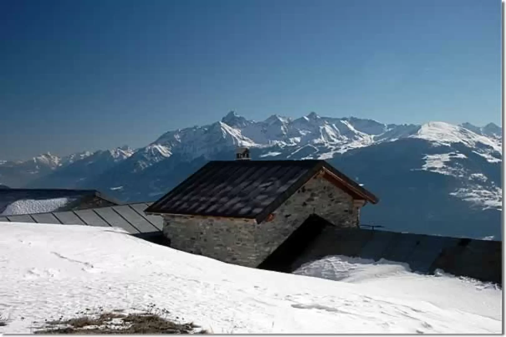
From the alpine pastures, turn slightly to the left and climb up the track that enters a hollow; after a few minutes, you come to a second alpine pasture (1908m, 0h30') and then start to climb up a track that climbs with five wide hairpin bends up the ridges below the Becca d'Aouille and Punta Leysser. After the fifth hairpin bend, the route takes a long traverse until it reaches the high edge of a larch forest: having crossed its last offshoots, we approach a couple of hairpin bends from which we can enjoy a beautiful view of the mountains of the lower Valgrisenche and the village of Vens below. We are now close to our destination: a long straight stretch leads us to the Alpe Sécheron (2152m, 1h30').
From the mountain pasture one can enjoy a beautiful view of the mountains to the south of Aosta: from the Mont Emilius to the Ruitor.
The descent follows the same route as the ascent (1h00').
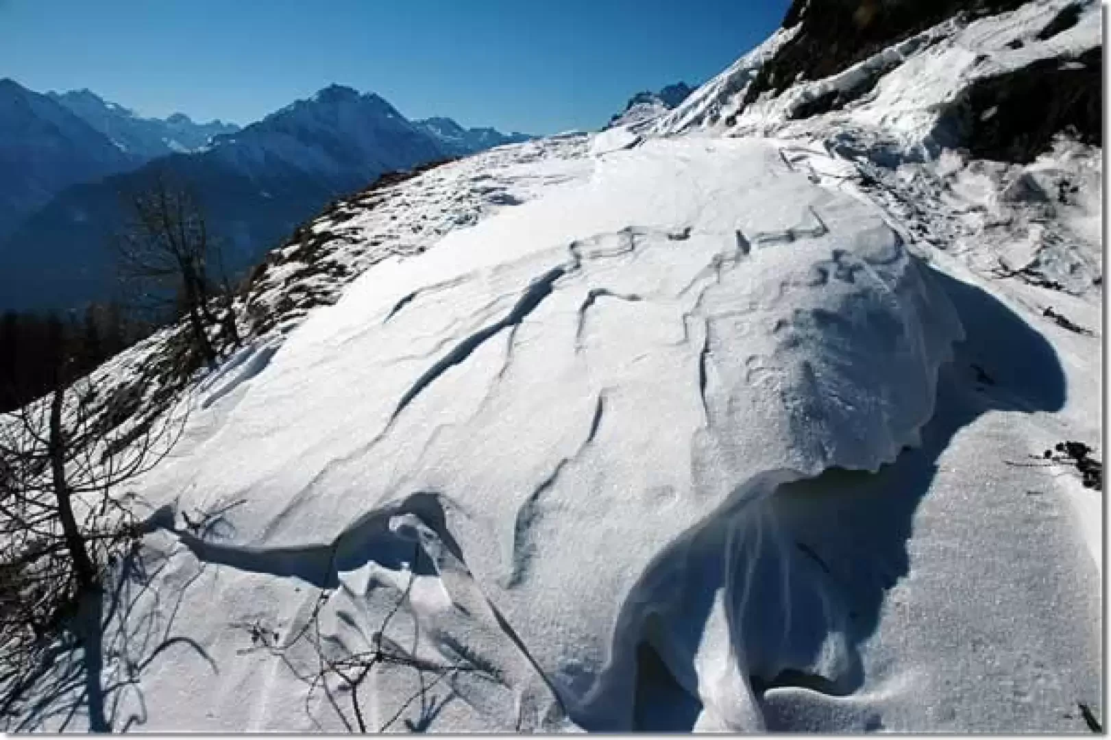
The descent route can be tackled along the steep snow-covered pastures: if the snow conditions are optimal, fun is guaranteed!
Riferimenti Bibliografici
- Tracce Lievi - Martini Massimo - Martini Multimedia editore, Saint-Vincent, 2007
Photo gallery
Comments (0)
Sign in to leave a comment