In Turin, take the motorway to Bardonecchia. Drive up the Susa Valley until you reach the Oulx Ovest exit: go through a long tunnel and up the road to Sauze d'Oulx. When you reach the well-known tourist resort, follow the signs for Monfol: follow the narrow road until you reach Borgata Monfol where you can park. Parking in Monfol is very limited so it is advisable to optimise the number of cars, in the case of large groups.
.
Description
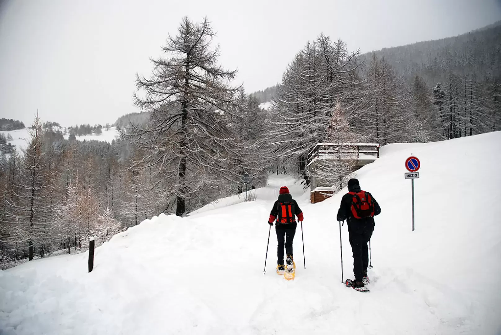
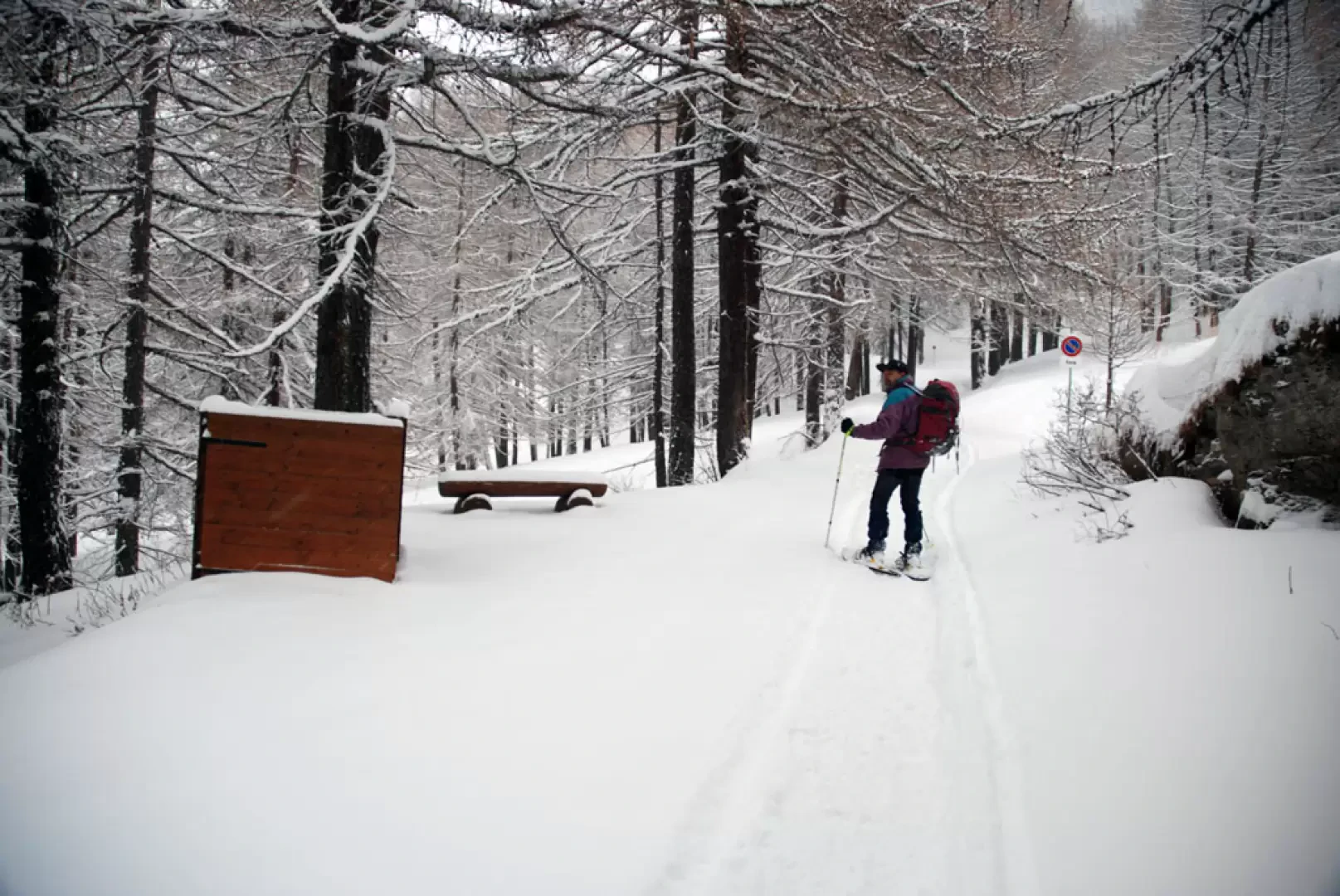
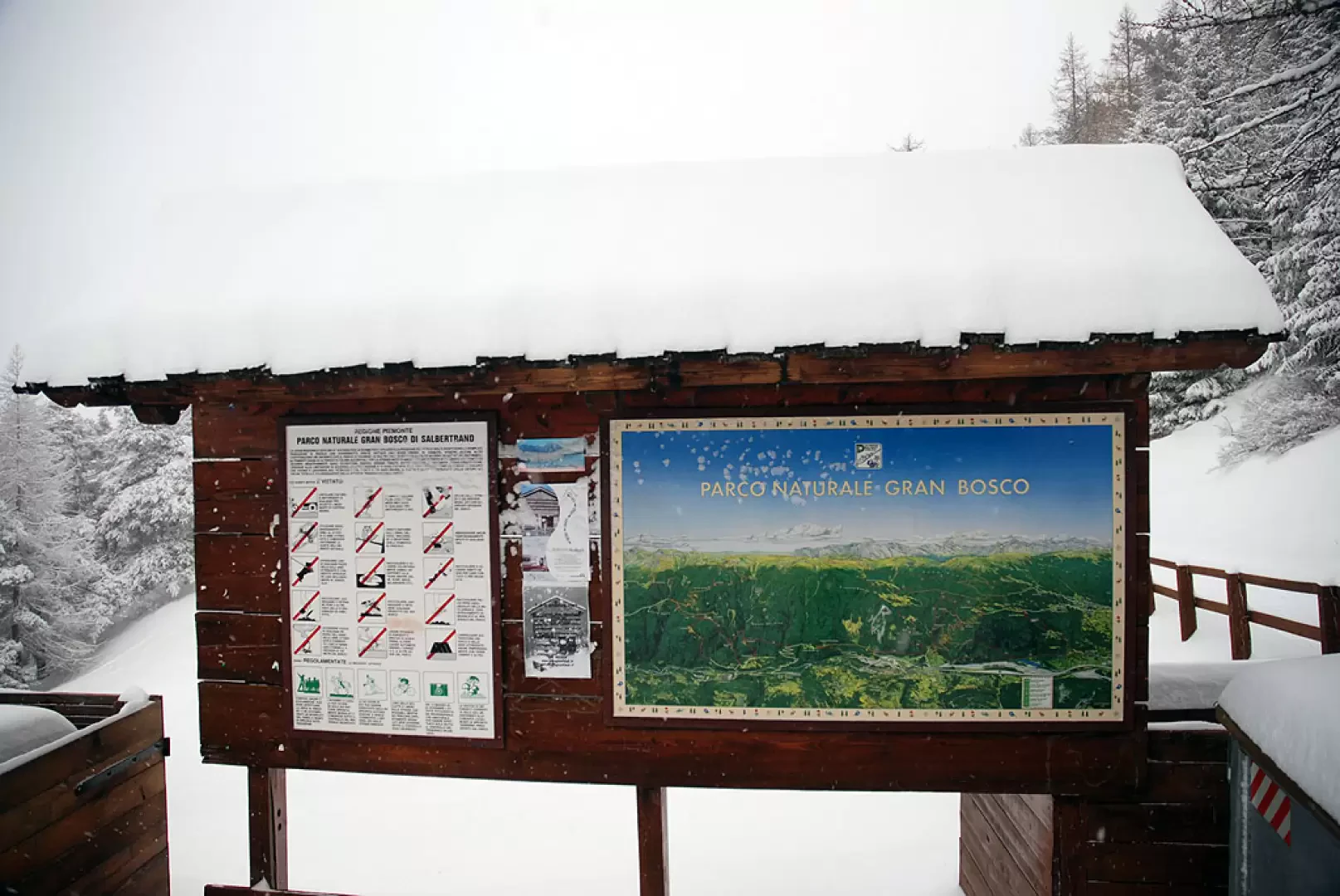
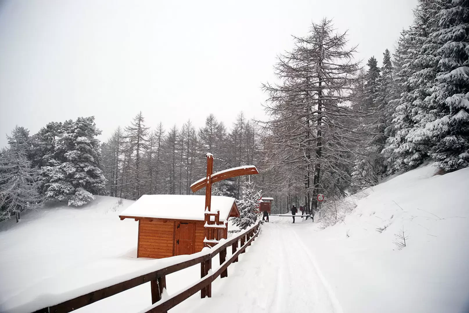
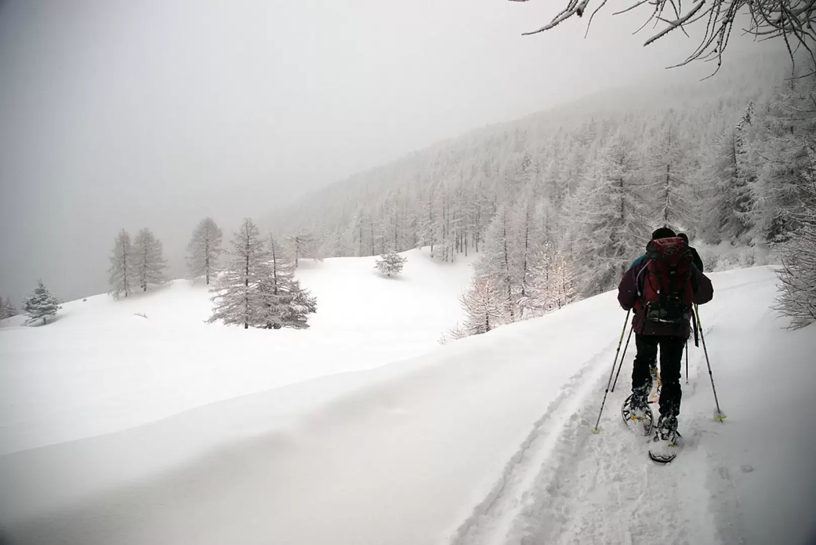
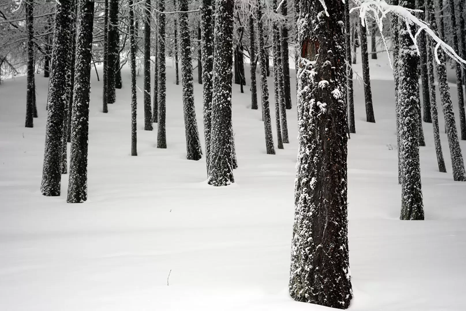
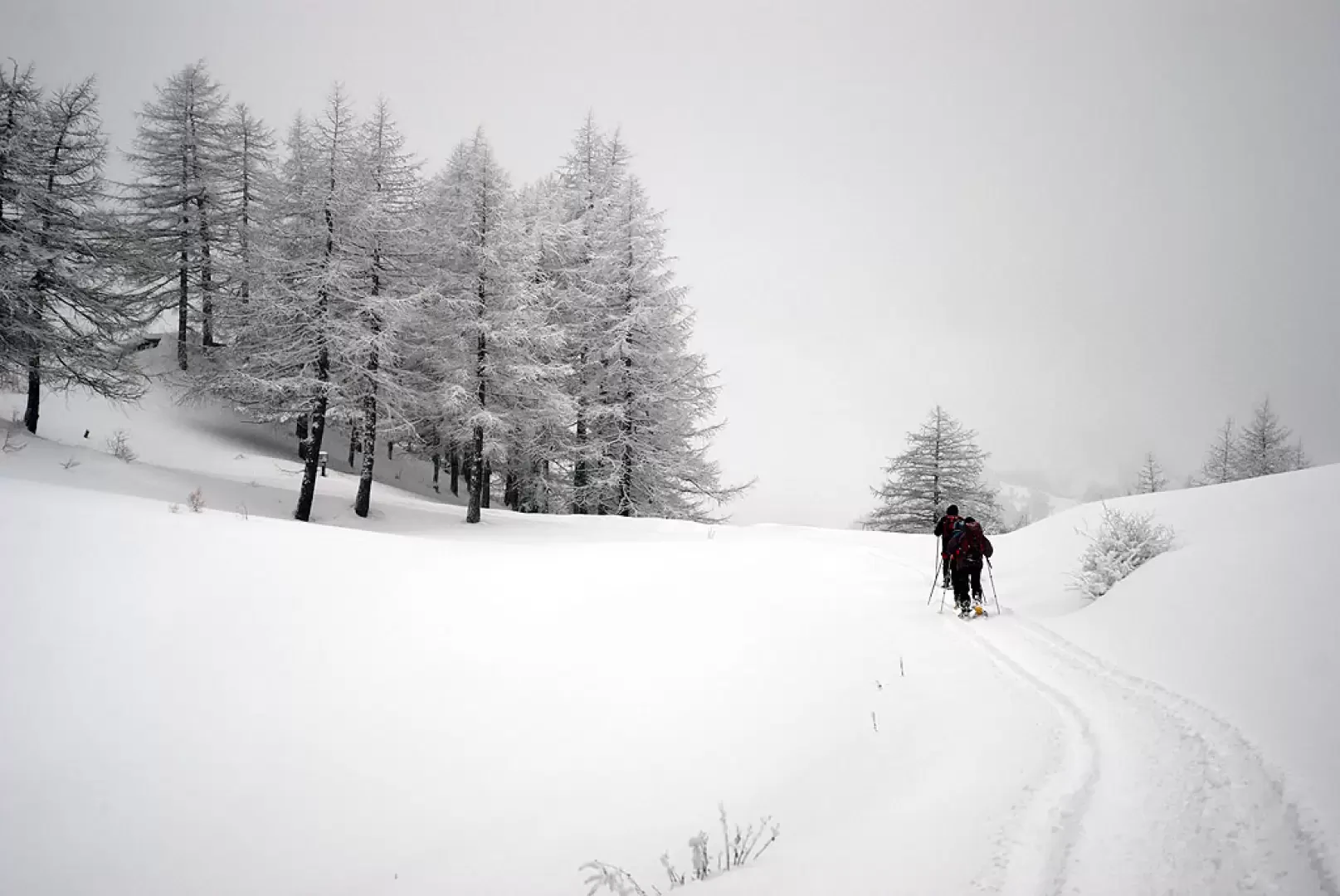
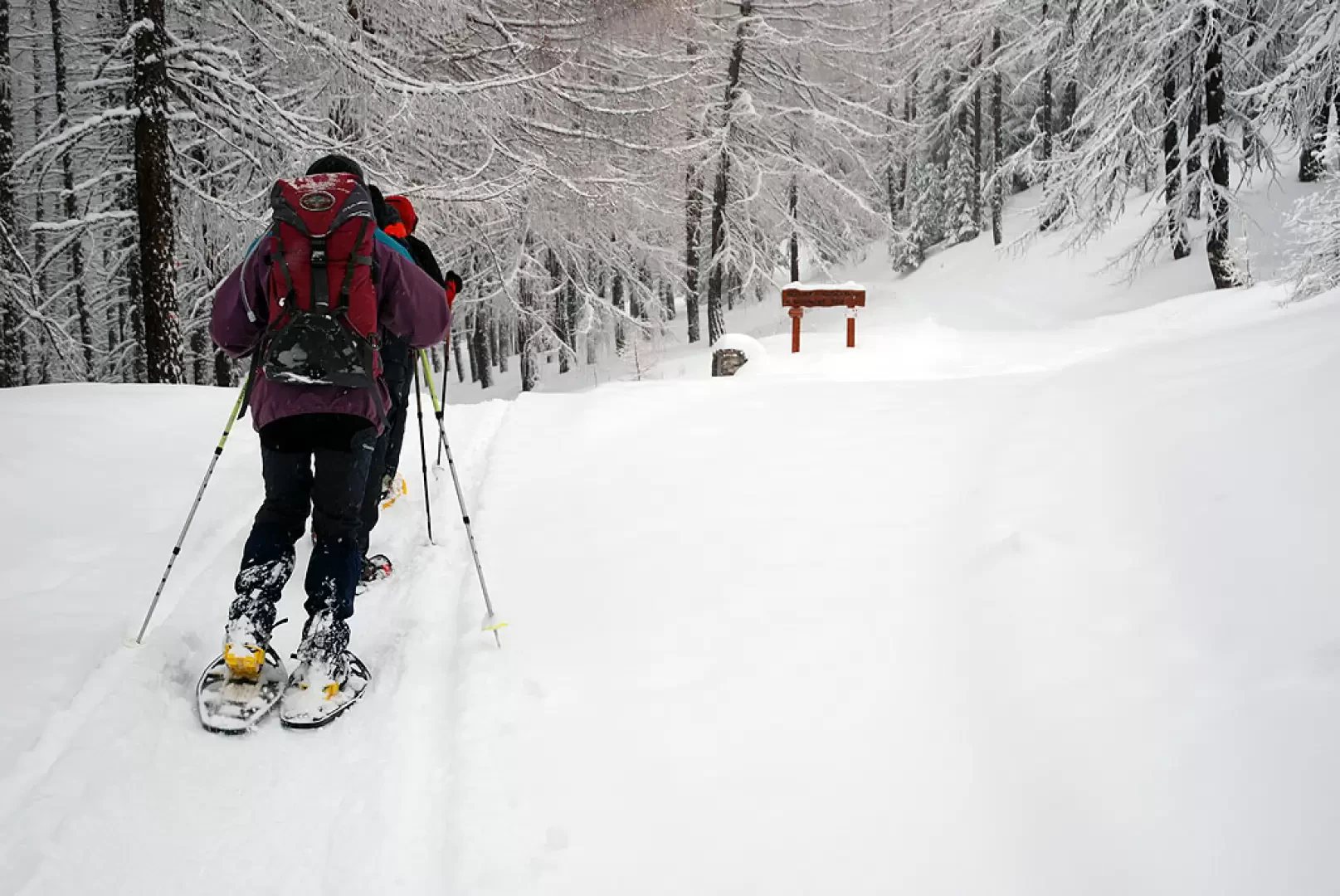
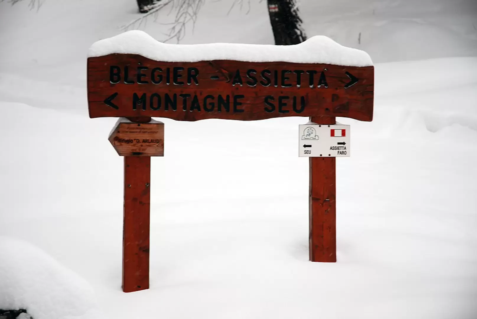
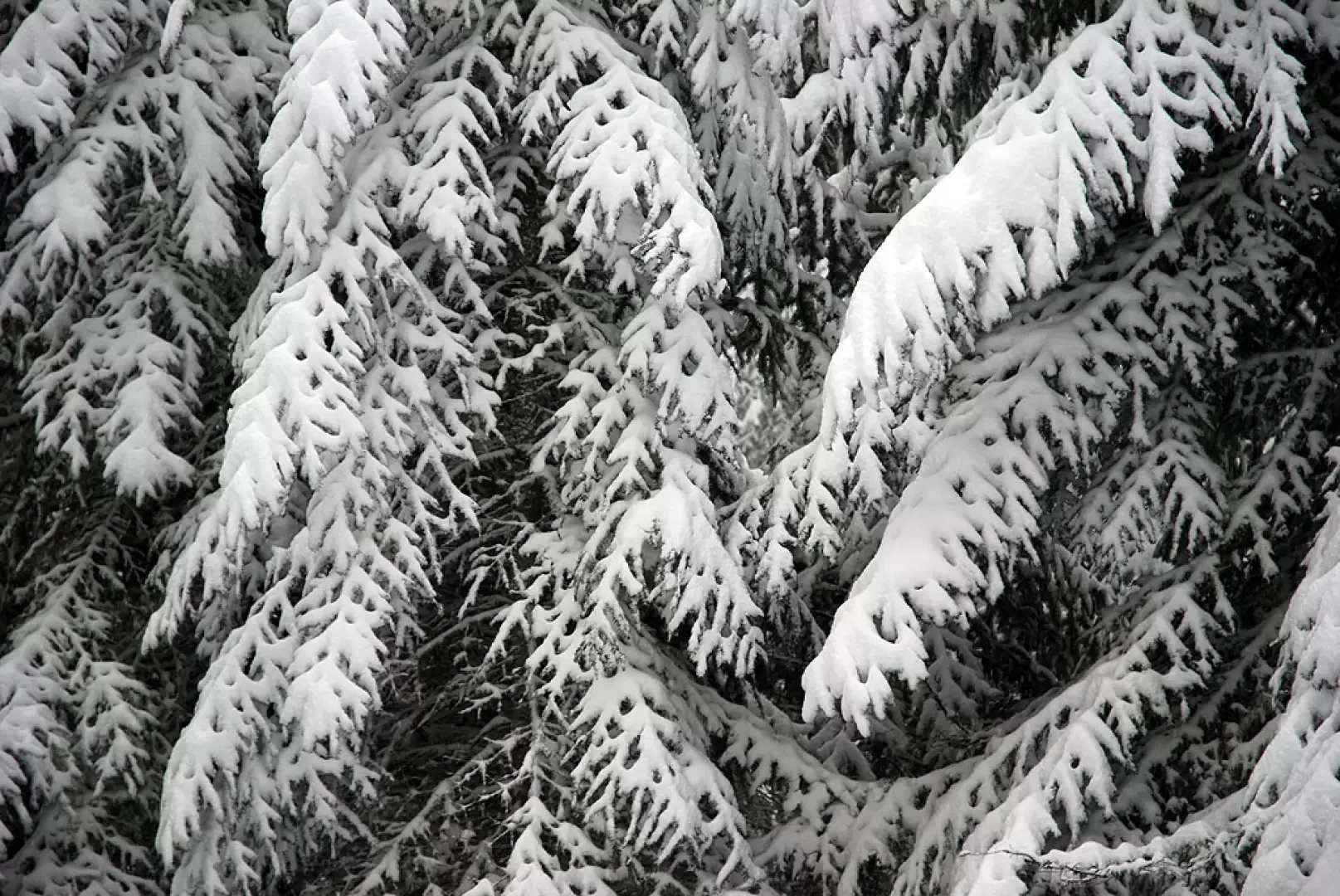
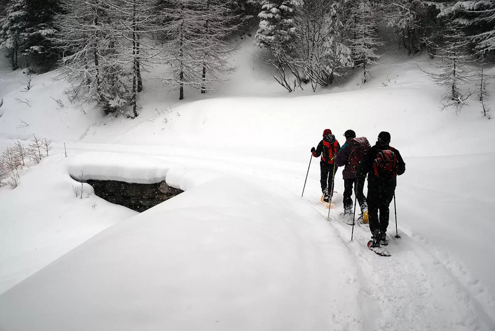
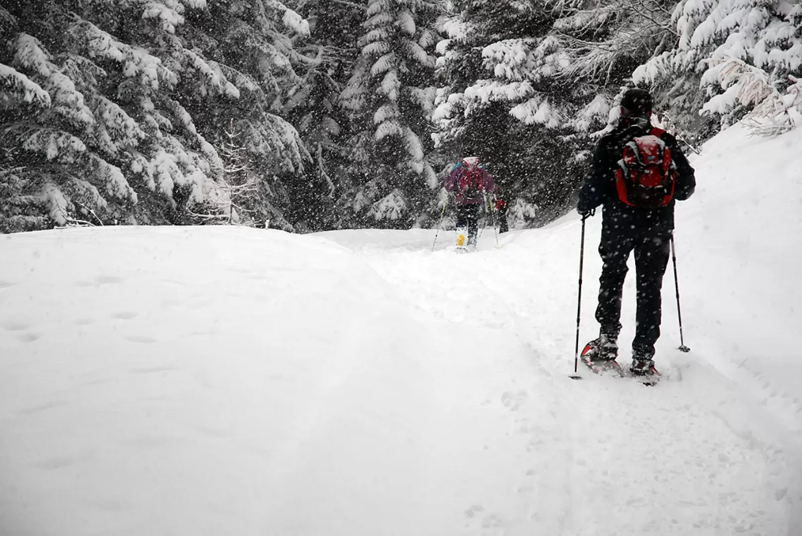
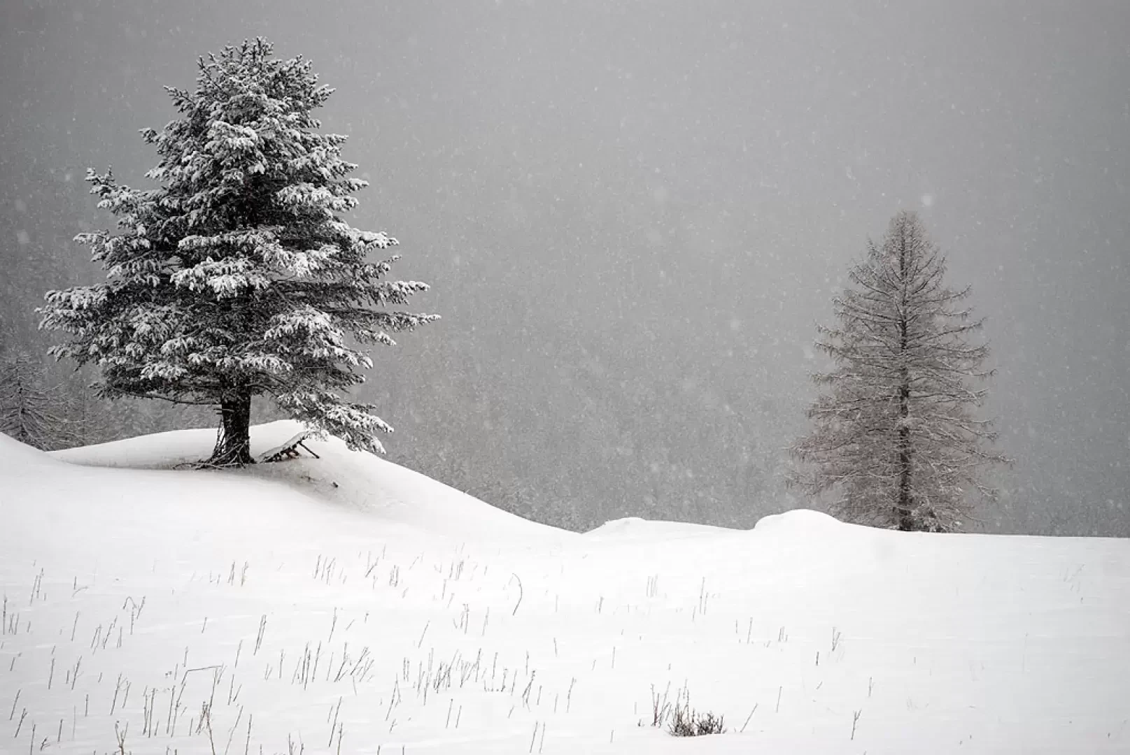
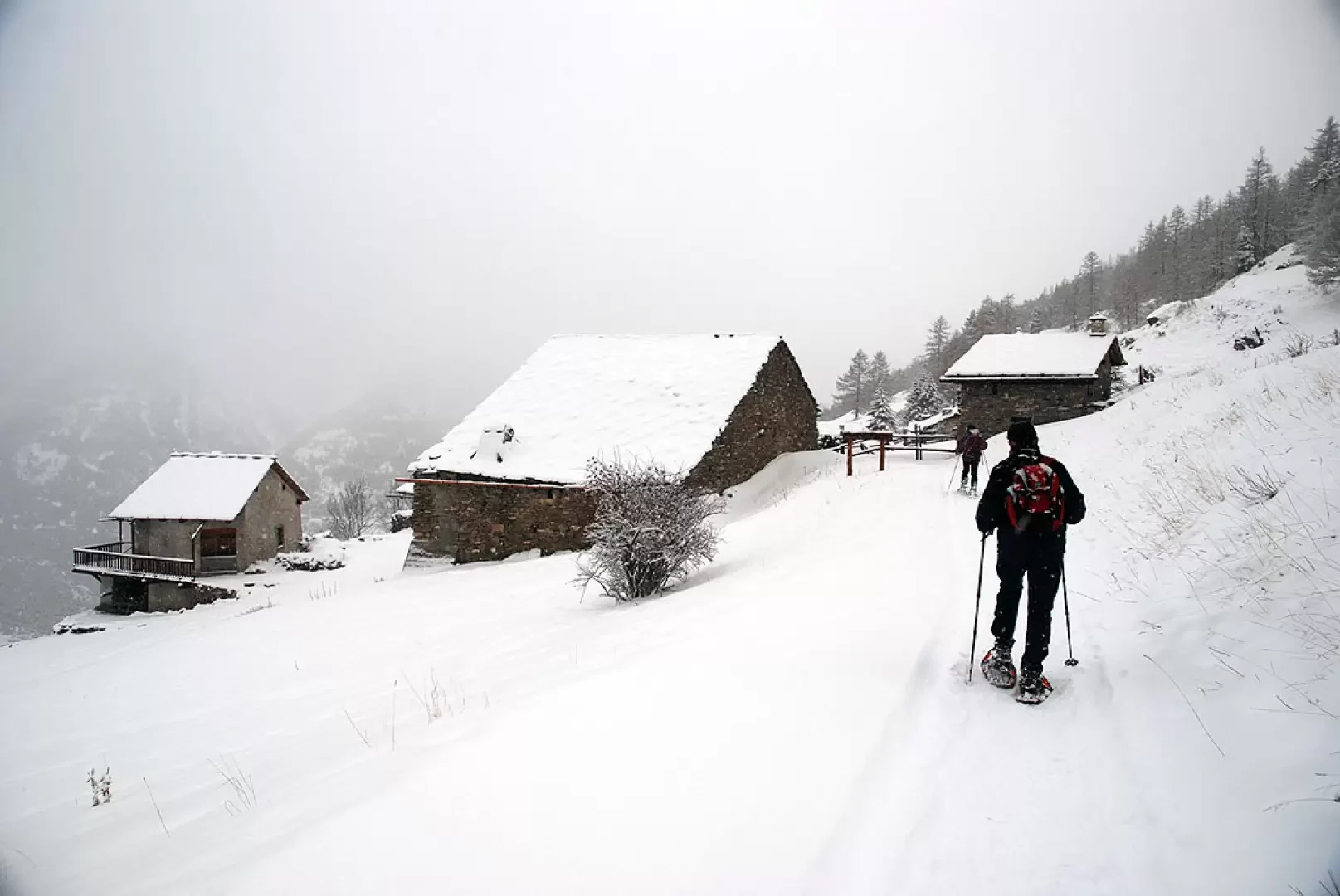
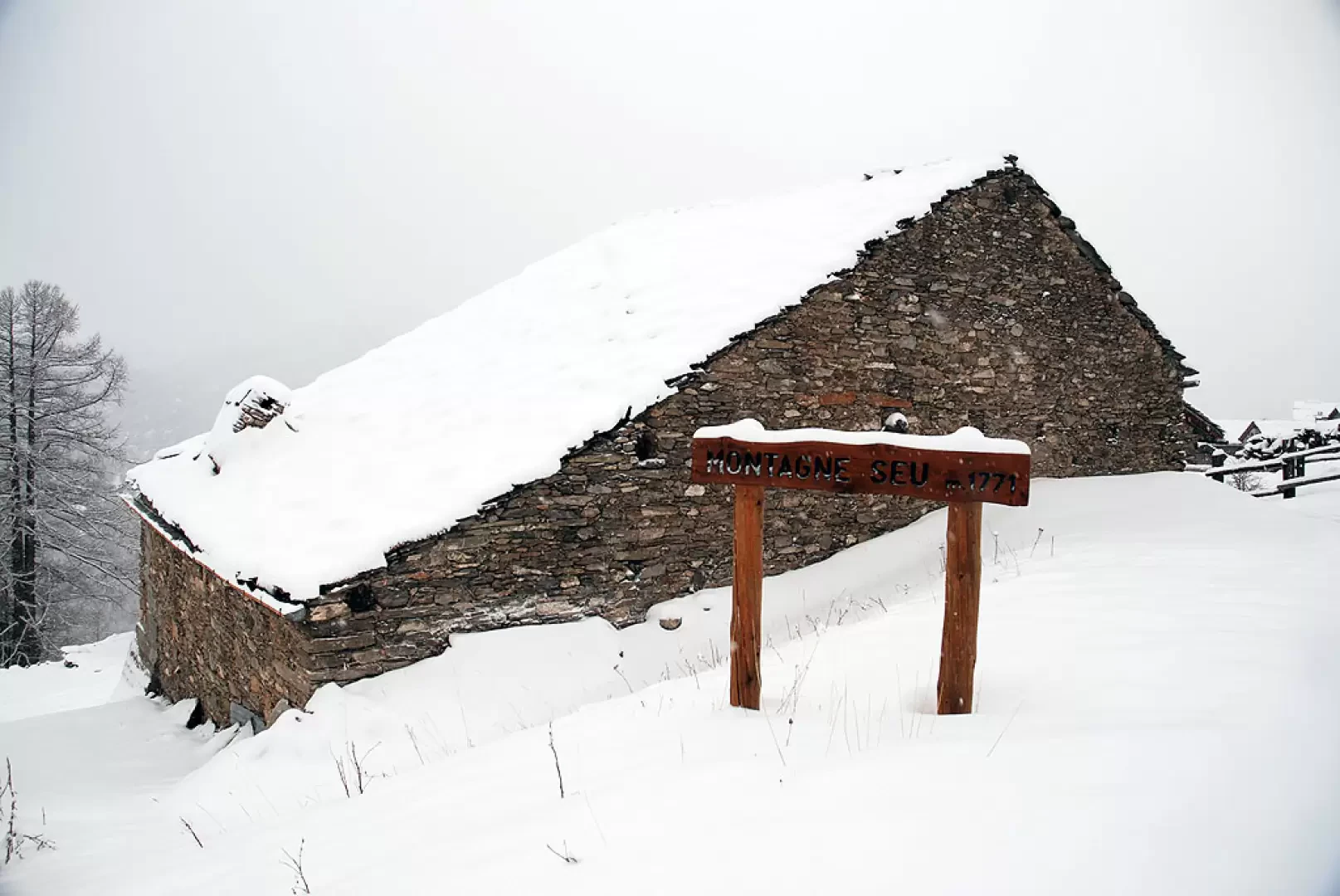
Leaving the car behind, we set off on the snow-covered track, normally taken by the hut keepers. You go up a path that enters the wood and begins to climb for a short distance until you reach the summer car park of Serre Blanche (1728m, 0h15'), the entrance to the Gran Bosco di Salbertrand Nature Park and the bar that actually prevents access to unauthorised vehicles. Continue on the snow-covered little road that begins to climb up the wood; go around the Serre Gountard knoll (1800m) with a wide bend to the right until you come to the diversions for the Randuin Alpine pasture (1750m): ignore path G10 and continue on the little road to the right. Overcome a short difference in altitude with a couple of comfortable hairpin bends, coming to a clearing and meeting path G6, which allows a quicker return to Monfol. Obviously, one continues straight on, entering the La Sella forest; the little road climbs up the forest, which often offers interesting wildlife encounters. After the short climb, you come to a fork: follow the track to the left following the signs for Montagne Seu, ignoring the little road that climbs straight up towards Bergier - Assietta. The track flattens out slightly and enters the Gran Bosco: the atmosphere here is truly magical! You follow the orography of the Rivo Outrettes and Rivo Gorge impluviums, which are crossed thanks to convenient little stone bridges. You reach the high point of the trail and begin to descend slowly until you reach the pastures that precede the final destination. Before the village you come to the junction for the Le Selle pastures, ignore the track to the right, and continue on to the first houses of Montagne Seu: entering the village you come to the Gta and, shortly afterwards, the Daniele Arlaud hut (1771m, 1h45'). At the hut a stop is a must: its interior is very intimate and warm and the friendliness of its managers is unmissable! The return journey is along the same route as the outward journey (1h45')
Please note that booking is advisable: for information contact the hut info@rifugioarlaud.it


Comments (0)
Sign in to leave a comment