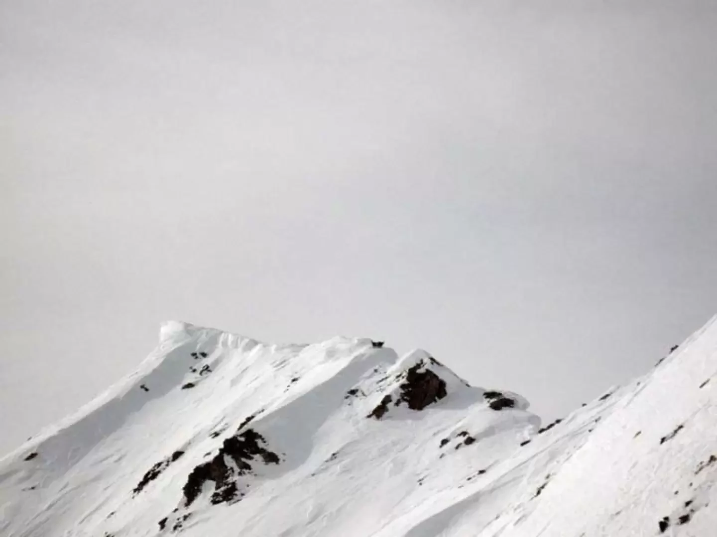
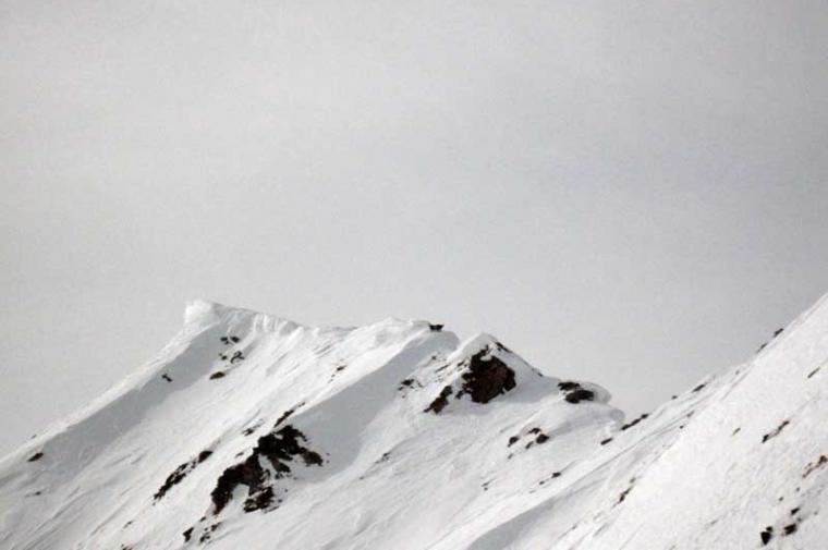
The summit, the destination of the ascent, is not the actual summit of Mont de Flassin, but is its antecedent just a few metres below as altitude and is divided from the actual summit by a very sharp col and an equally thin ridge. This excursion can be divided in terms of difficulty into two parts: the first, up to Tsa de Flassin, is easy and usually well traced out, while the upper part, with steeper and more demanding sections, must be tackled with settled snow, assessing the route well so as not to remain too far below the steep right-hand slopes which, although not very high, are exposed to the sun and can be draughty, especially during the return; the ascent from Tsa de Flassin via the right-hand gully is not recommended because, in addition to being narrower, it is overhung by the steep and wide slopes that descend directly from the Tête de Cordellaz. Having reached the col at an altitude of 2662 m, to tackle the last steep ramp, it is best to remove the snowshoes and ascend it directly on foot, and crampons may be useful in case of hard, icy snow. The panorama is truly grandiose and embraces not only the classic 4000 m peaks on the borders with France and Switzerland, but also the entire endless carpet of high peaks in the upper part of the Valle d'Aosta.
Description
From the forecourt, climb up to the edge of the cross-country ski tracks and head into the upper forest, skirting the toboggan run on the right to reach the starting point. From now on, if you wish, you can follow the road, which is beaten by the snowcats and leads in long hairpin bends through the forest, but it is better to cut it off and continue straight ahead with slight inclines, passing a little to the right of a first hut. As you head into the forest, you cut across the road at some points, first passing the Flassin de Meiten huts (1651 m) and then the Flassin huts (1713 m) located a little further on. Remaining among the sparse vegetation and keeping to the centre of the valley, walk straight ahead until coming out of the vegetation where the open part of the itinerary opens out before us; moving a little to the left, you contour around a little-pronounced rise and, returning to the right, go up the centre of the road until you see some huts further on the right: without a fixed route and passing between gentle rises, you reach the huts of Tsa de Flassin (2265 m). Go past the mountain pasture and begin to climb to the left of a promontory, climbing up some steep crags alternating with short, more restful stretches and trying to keep a good distance from the slopes on the right, from which small discharges can descend. When the slope diminishes, turn right and head for the wide creek a little further up and you will reach it (2662 m); from here, climb the fairly wide ridge to the left, which, tapering off a little, suddenly becomes very steep and, having passed the most demanding section with difficulty, you will reach its summit.
La neve è portante al mattino sino a Tsa de Flassin, più oltre già un po' trasformata e bagnata con pericolo di qualche piccola scarica sopra le baite. Dal colle in vetta non messo i ramponi perchè già ben gradinato da precedenti passaggi e perchè la temperatura aveva già ammollato la neve. Ben tracciato sino al primo pianetto sopra le baite mentre oltre il vento aveva coperto la traccia. L'intenzione era quella di salire alla vera vetta e di non fermarci a quella scialpinistica ma, discesi al colletto che separa le due cime, abbiamo trovato una sottile cornice abbastanza alta di neve farinosa e senza fondo e poco più avanti un passaggino per contornare un dentino roccioso con rigonfiamenti poco rassicuranti sui due lati.
Di conseguenza abbiamo deciso di scendere in fretta sino al colle e salire la vicina Cordellaz prima che il sole rendesse pesante e bagnata la neve sulla cresta.
Avvistamenti faunistici: Rupicapra rupicapra


Comments (0)
Sign in to leave a comment