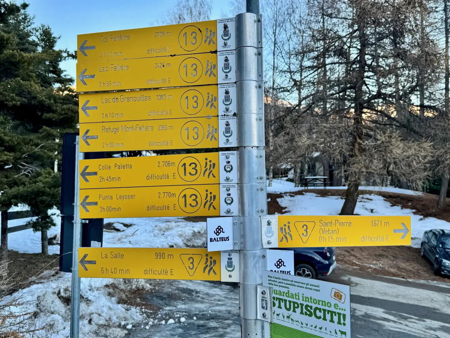
Leave the motorway and, after 450m, leave the motorway junction turning right onto the regional road for the Cogne valley. After 400m at the roundabout, take the second exit and enter the state road , to be followed for about 3km, passing through the village of Saint-Pierre, until you reach the village of Luboz. Turn right onto Via Corrado Gex (to be followed for 300m) and then turn right onto the regional road to be followed for about 7.7km until Saint-Nicolas and, just beyond the main centre, a crossroads: continue straight on the regional road following the signs for Vétan. When you reach Petit Sarriod, leave the regional road and turn left. Follow the communal road through the villages of Person, Grand-Sarriod, Gerbore until you reach, after 4.2km, Vétan and the large car park at the end of the road.
Short hike ideal for enjoying the thrill of a full moon hike in a very atmospheric environment.
Description
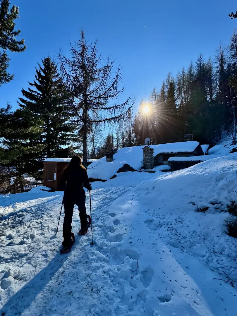
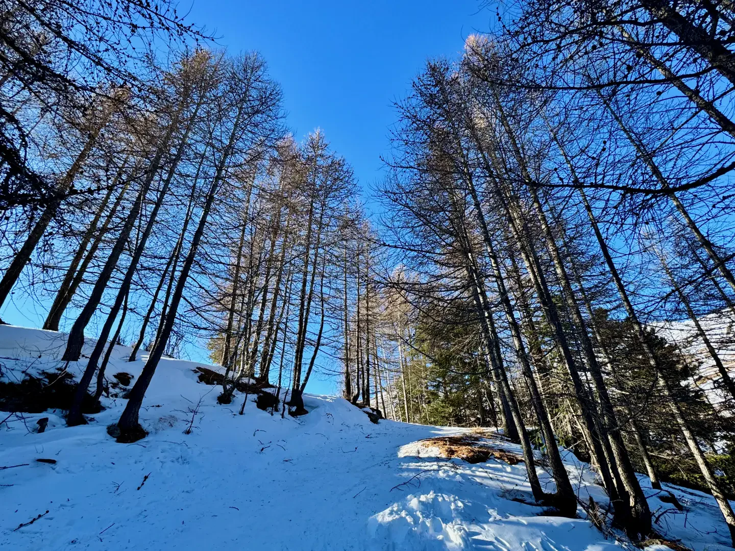
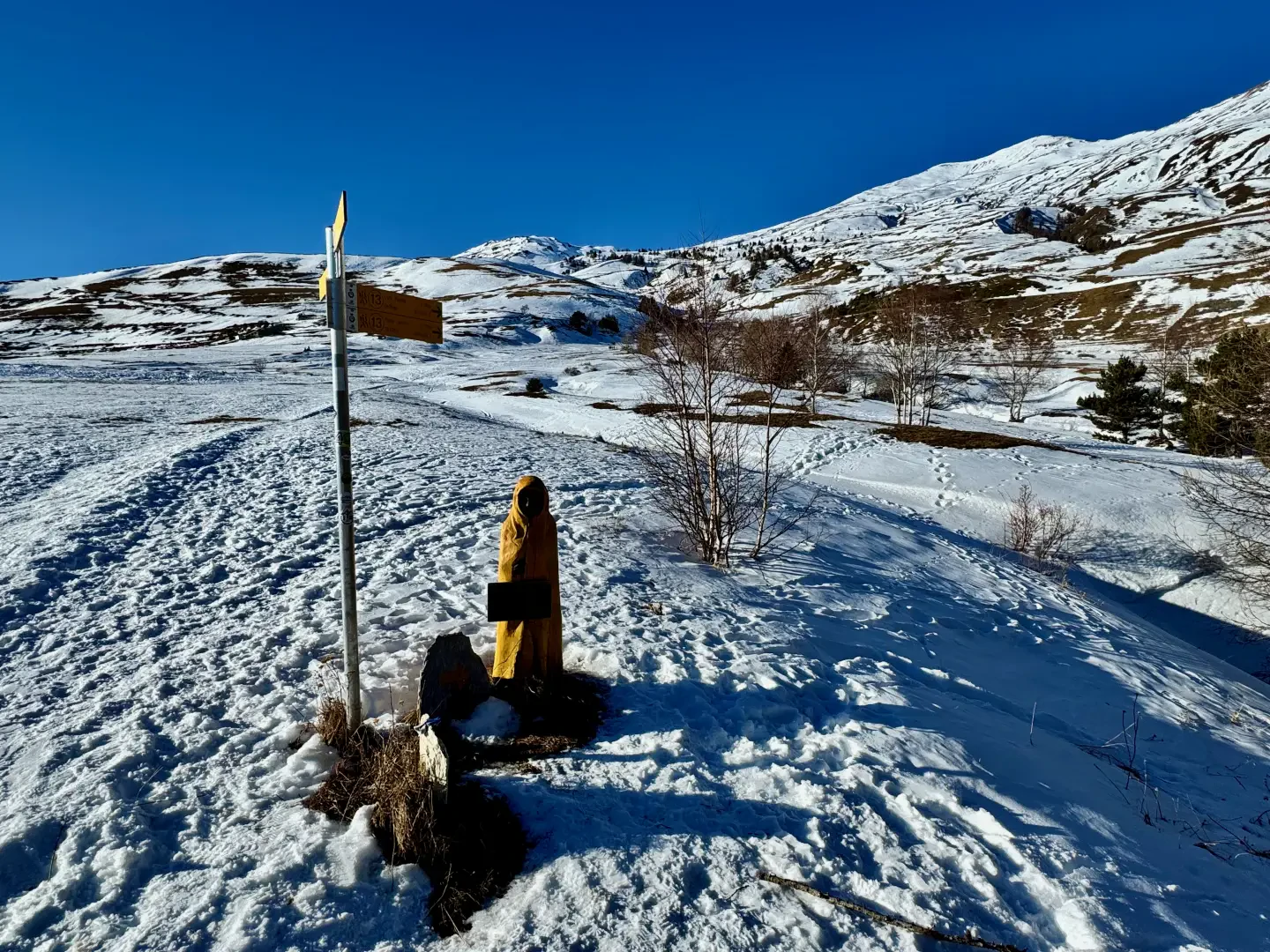
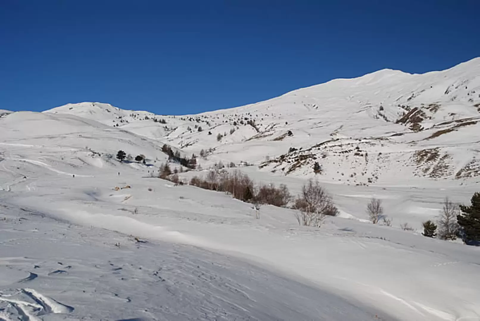
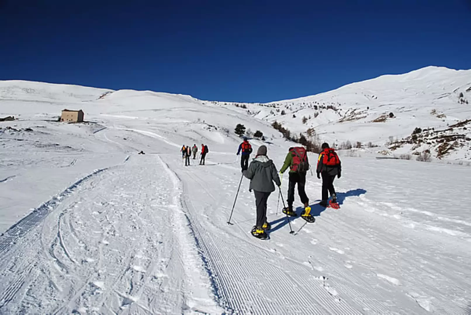
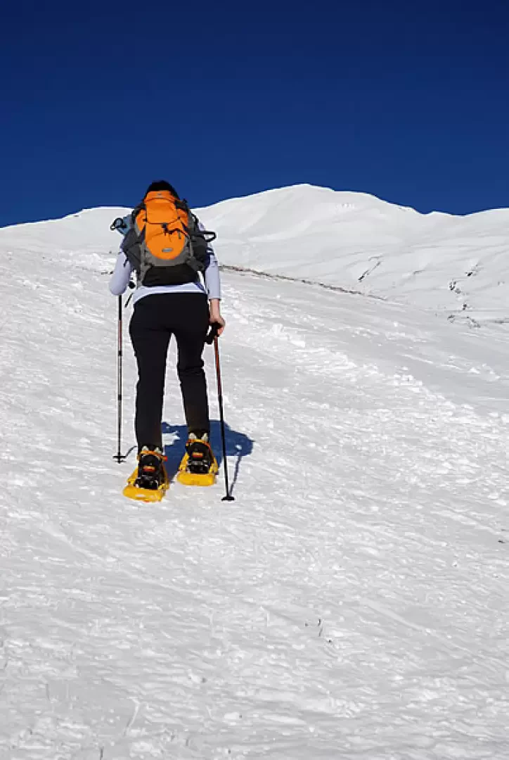
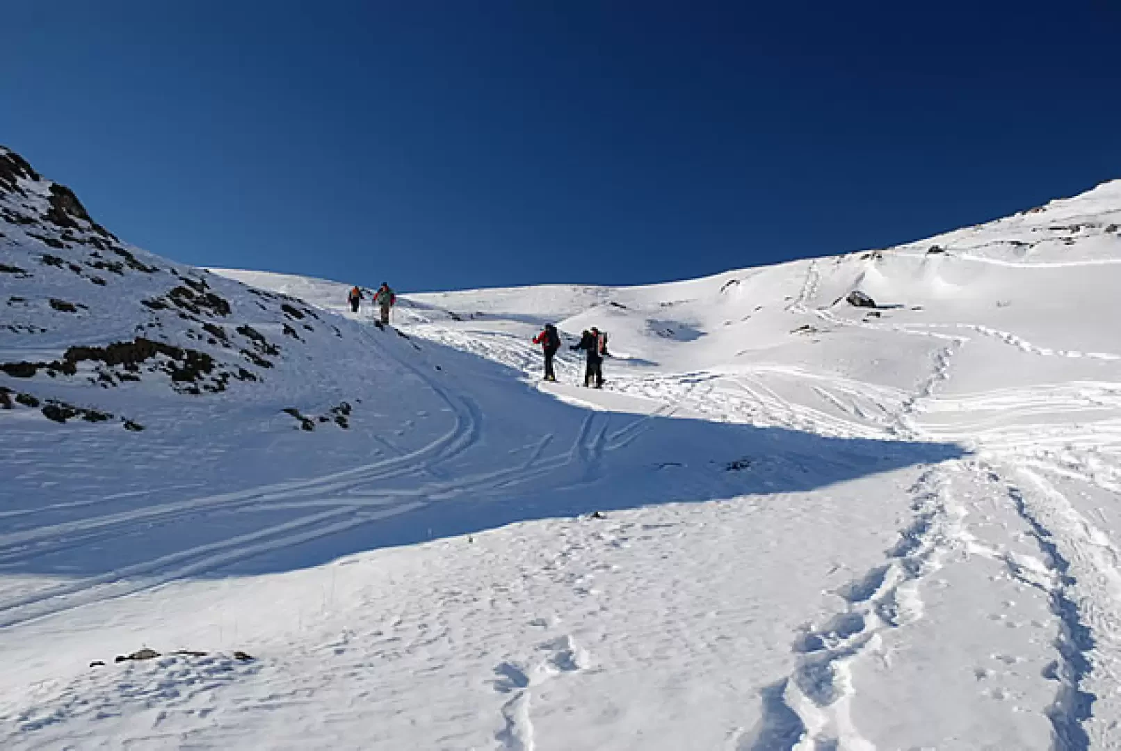
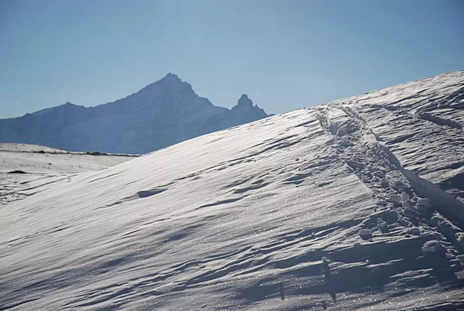
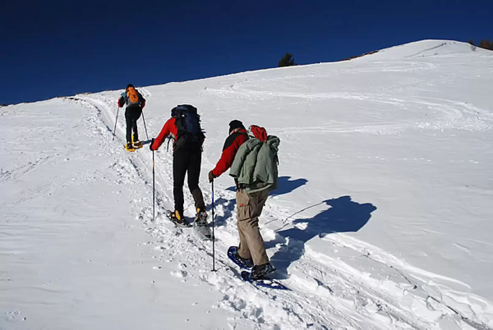
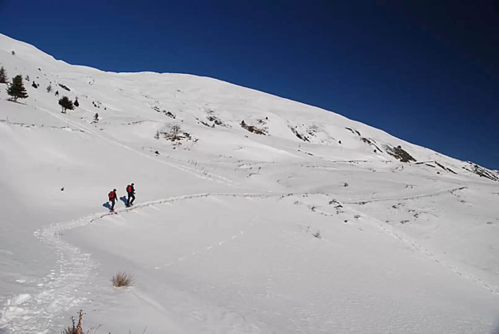
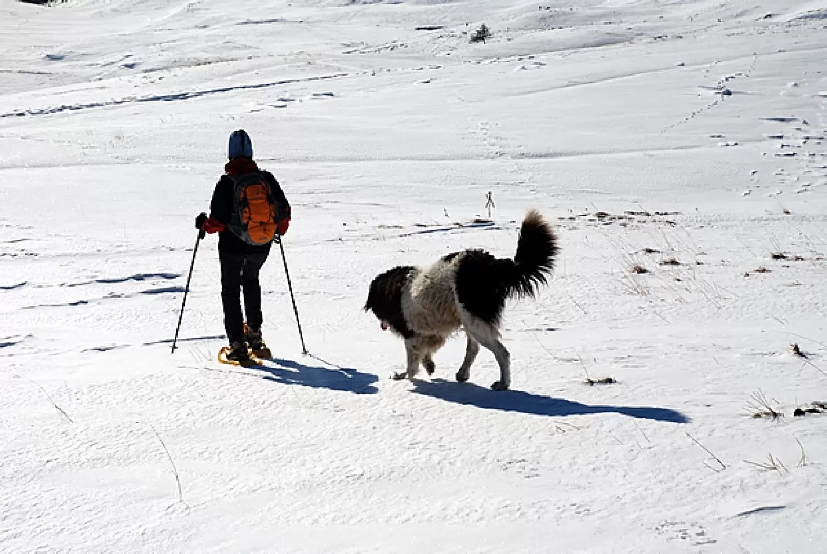
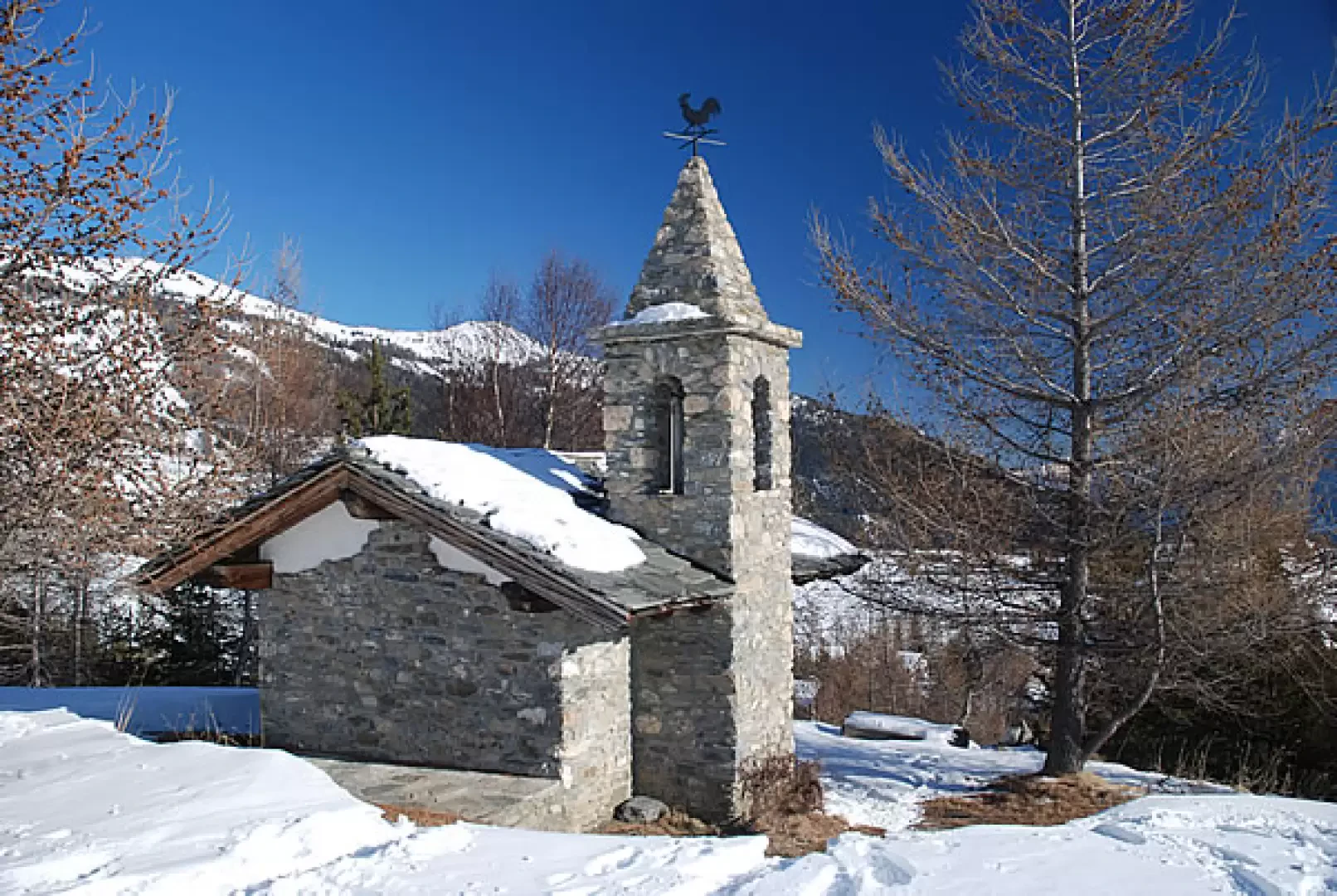
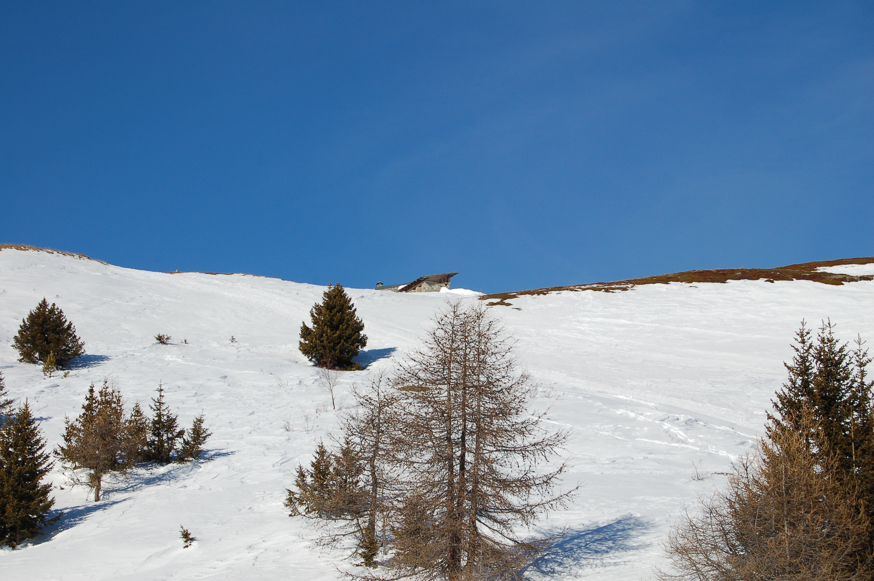
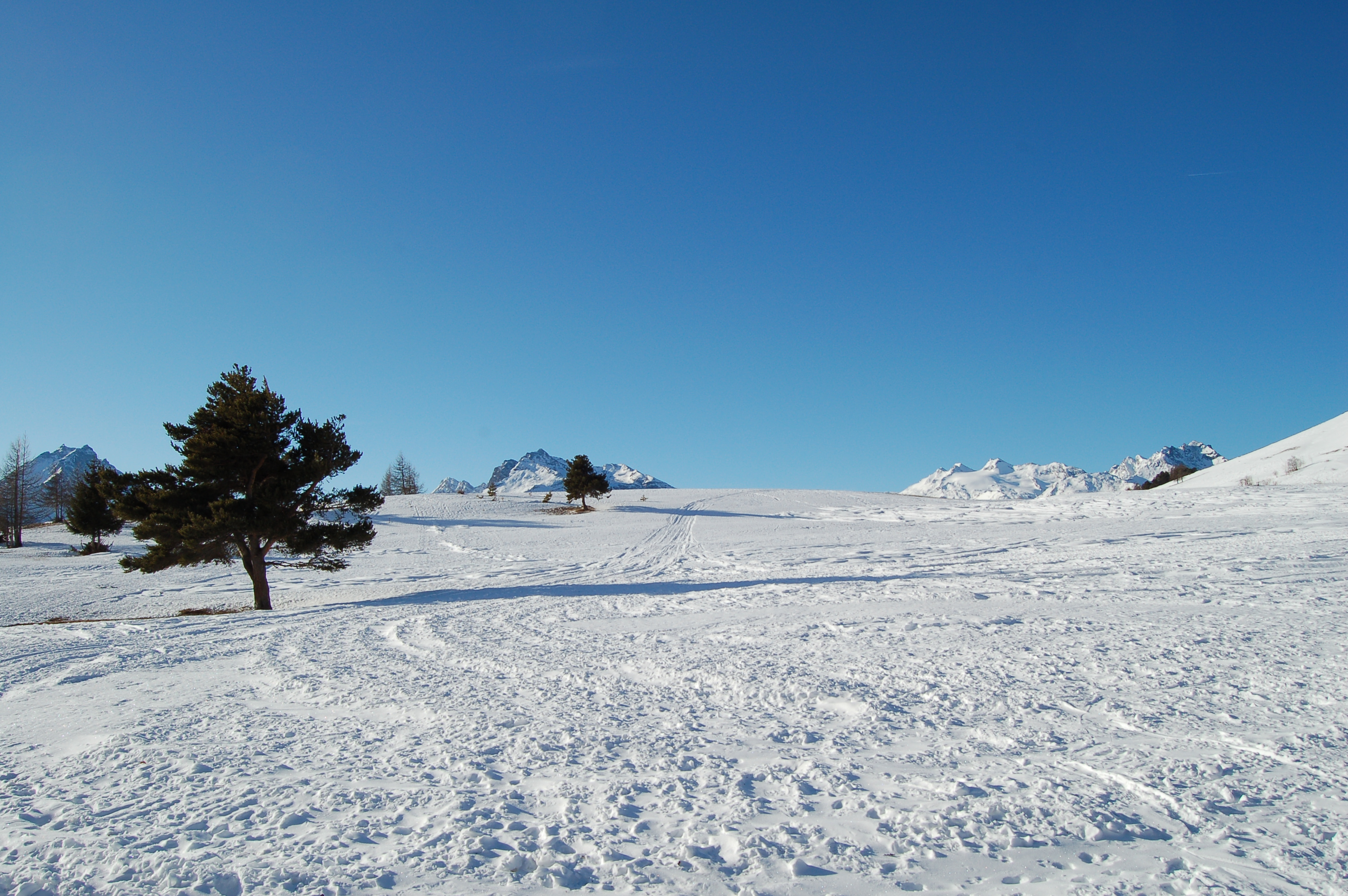
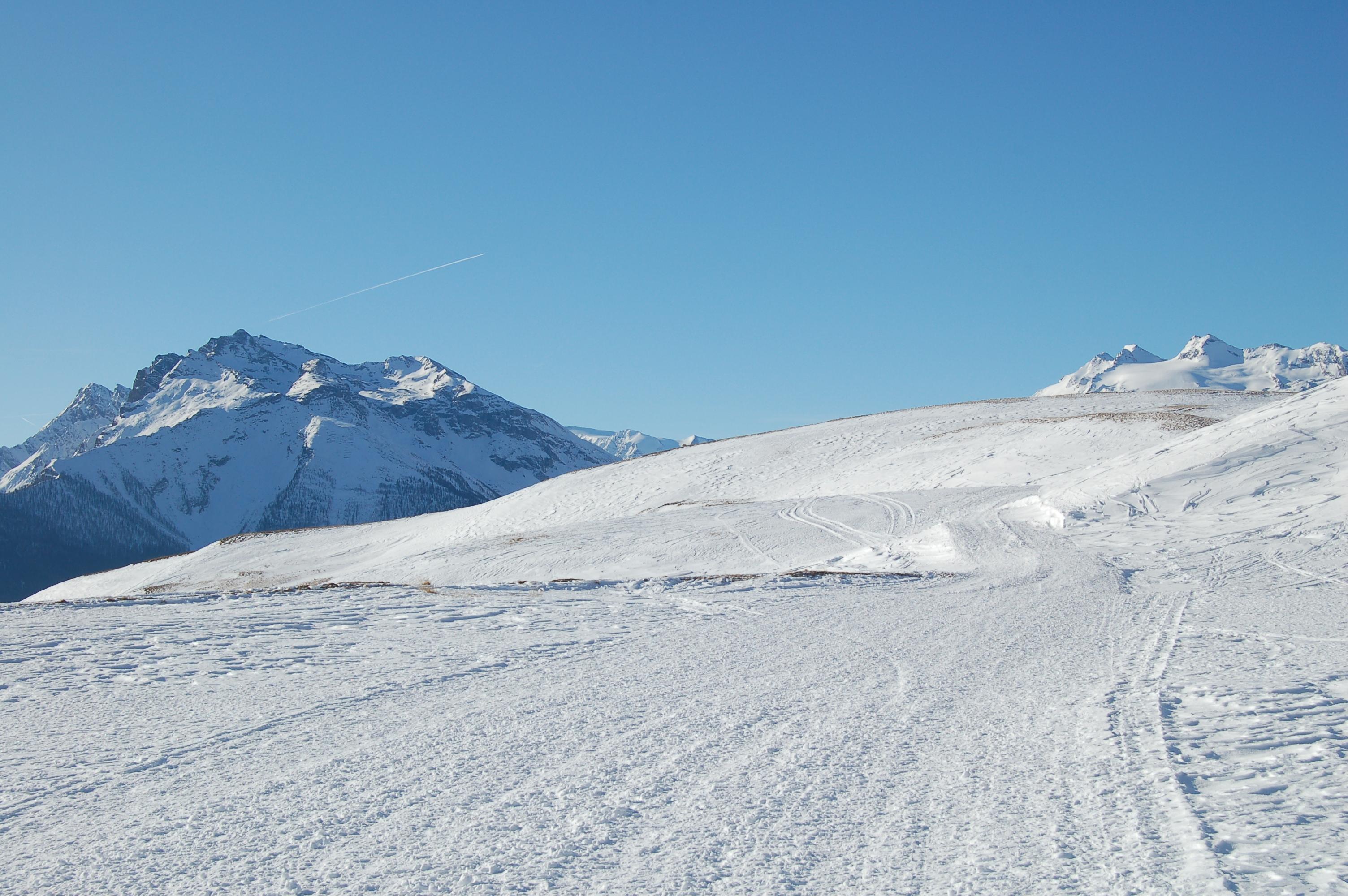
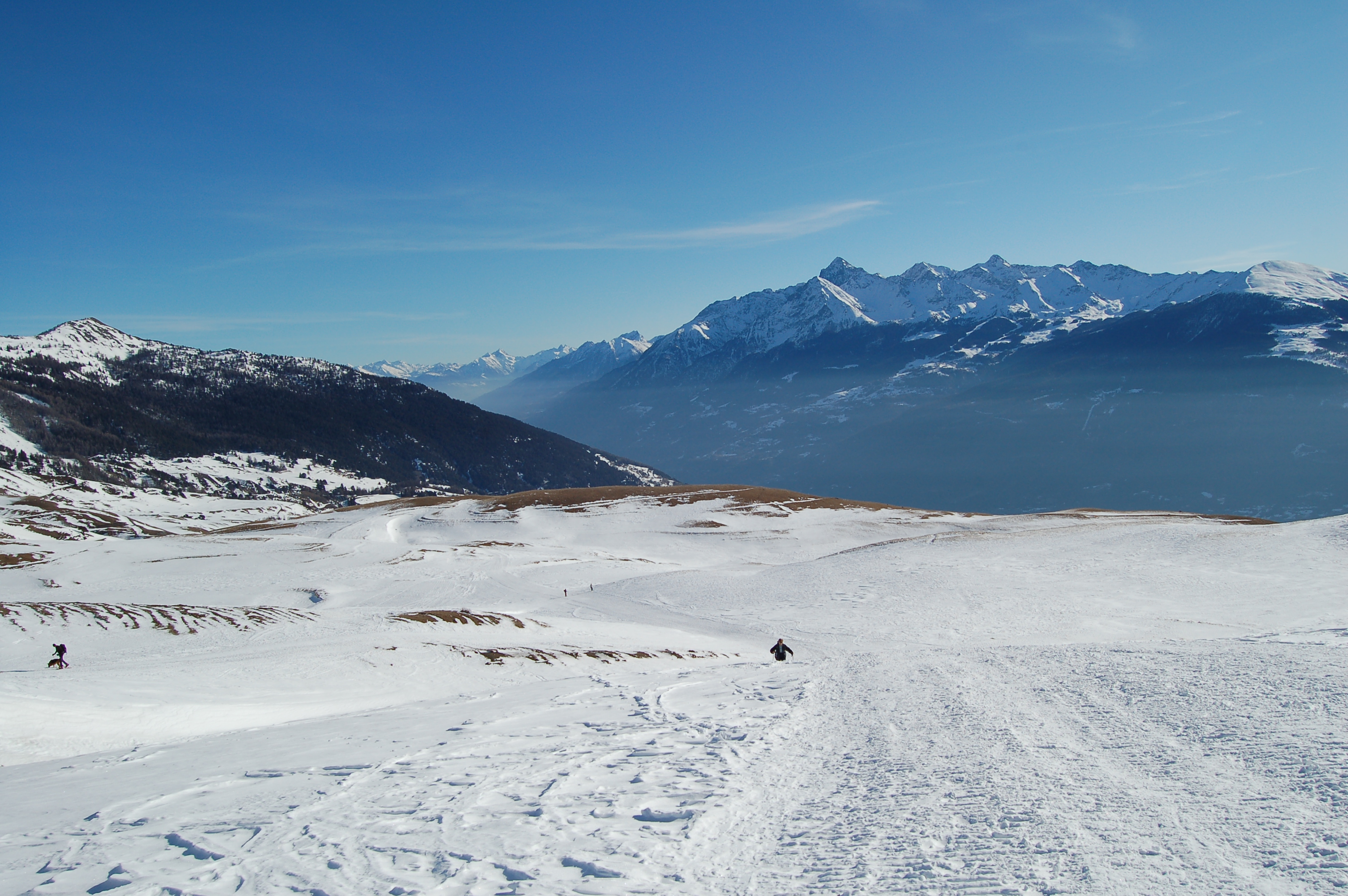
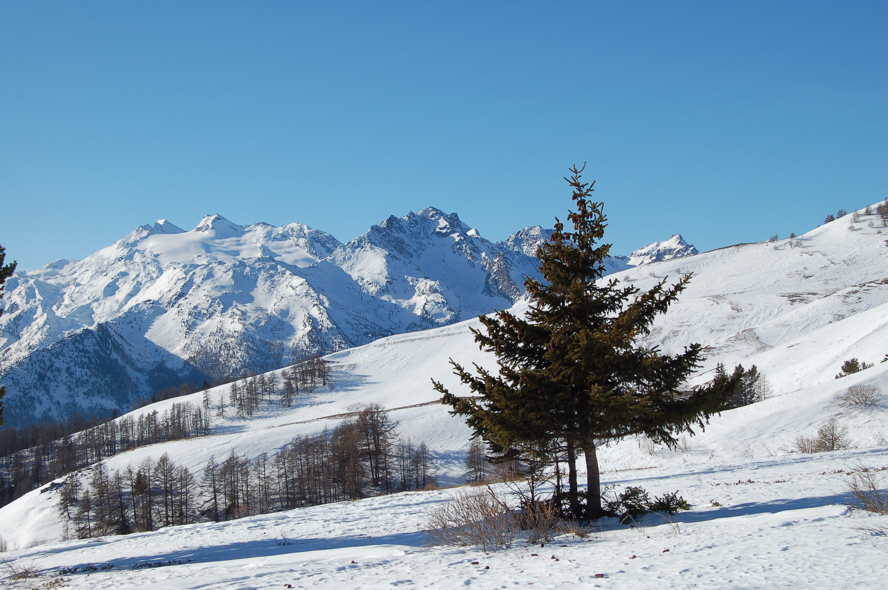
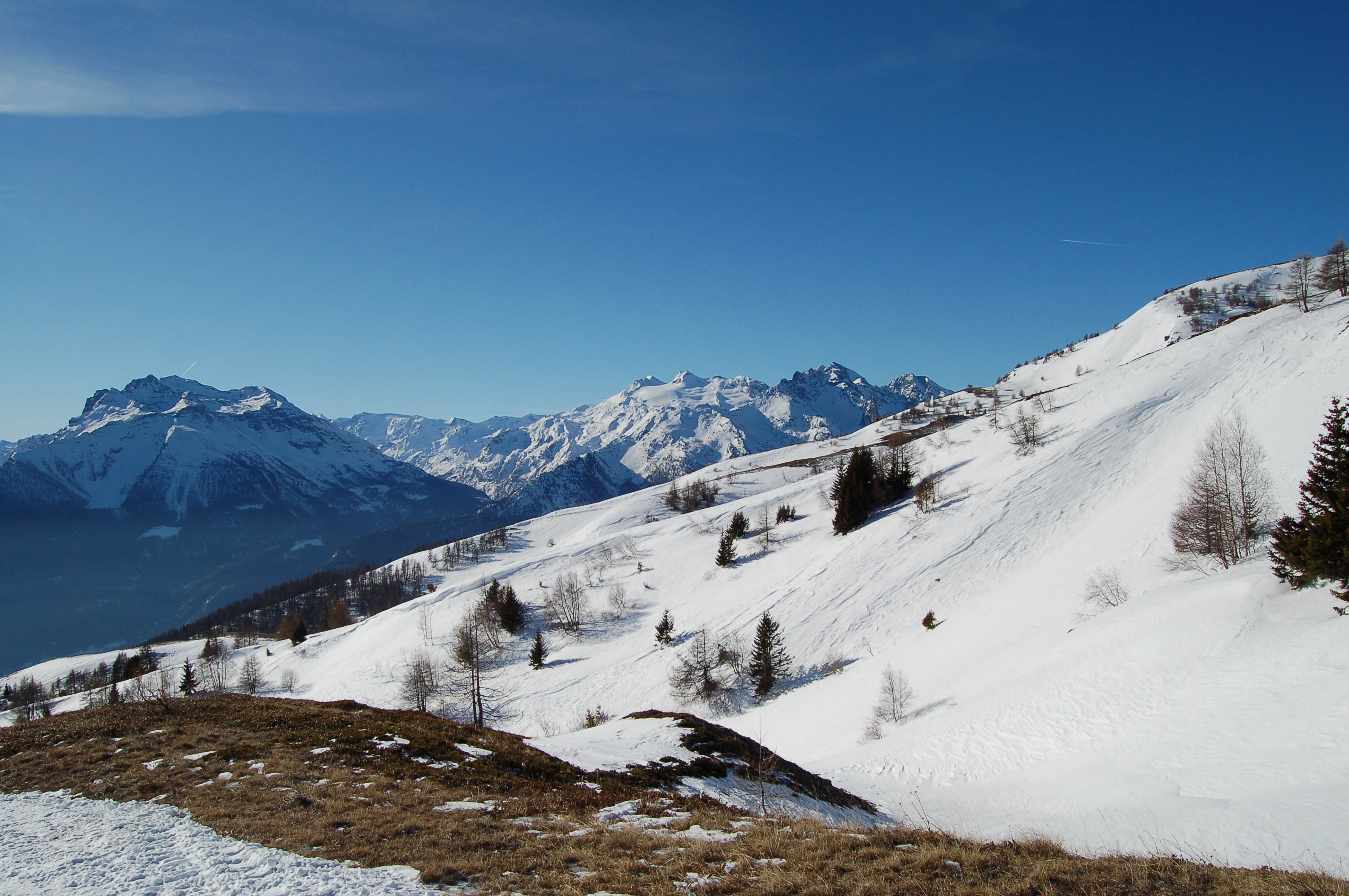
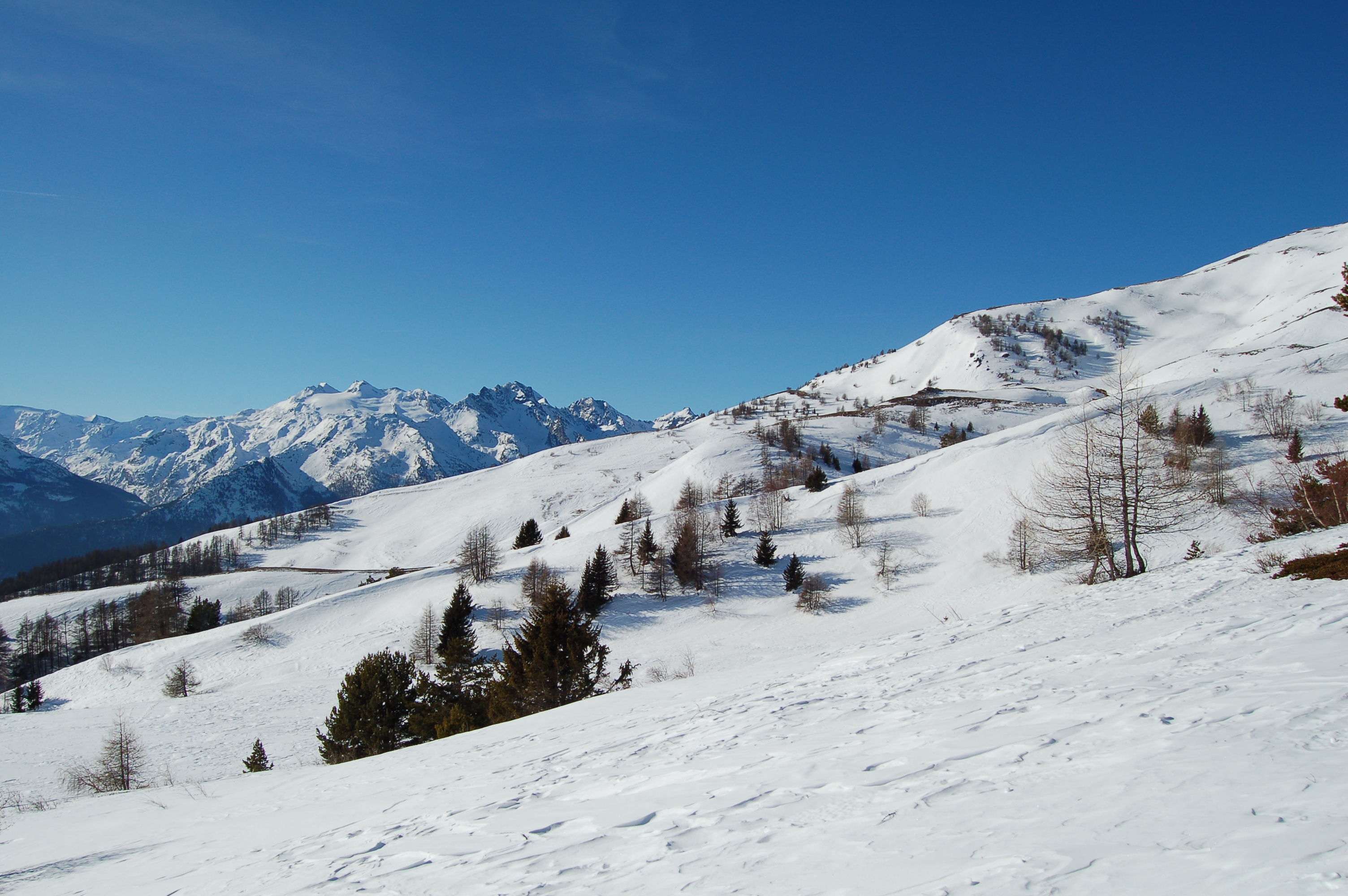
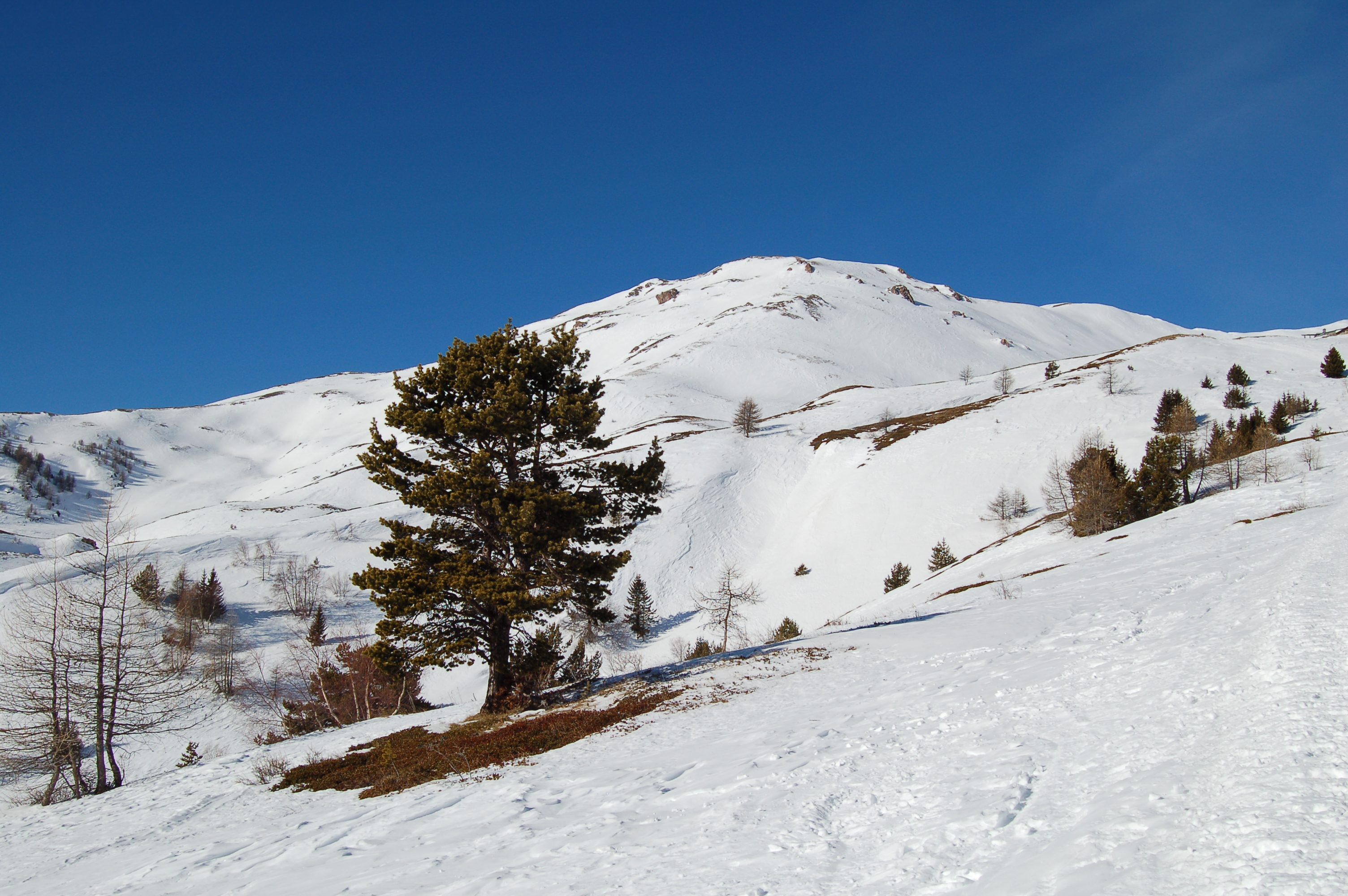
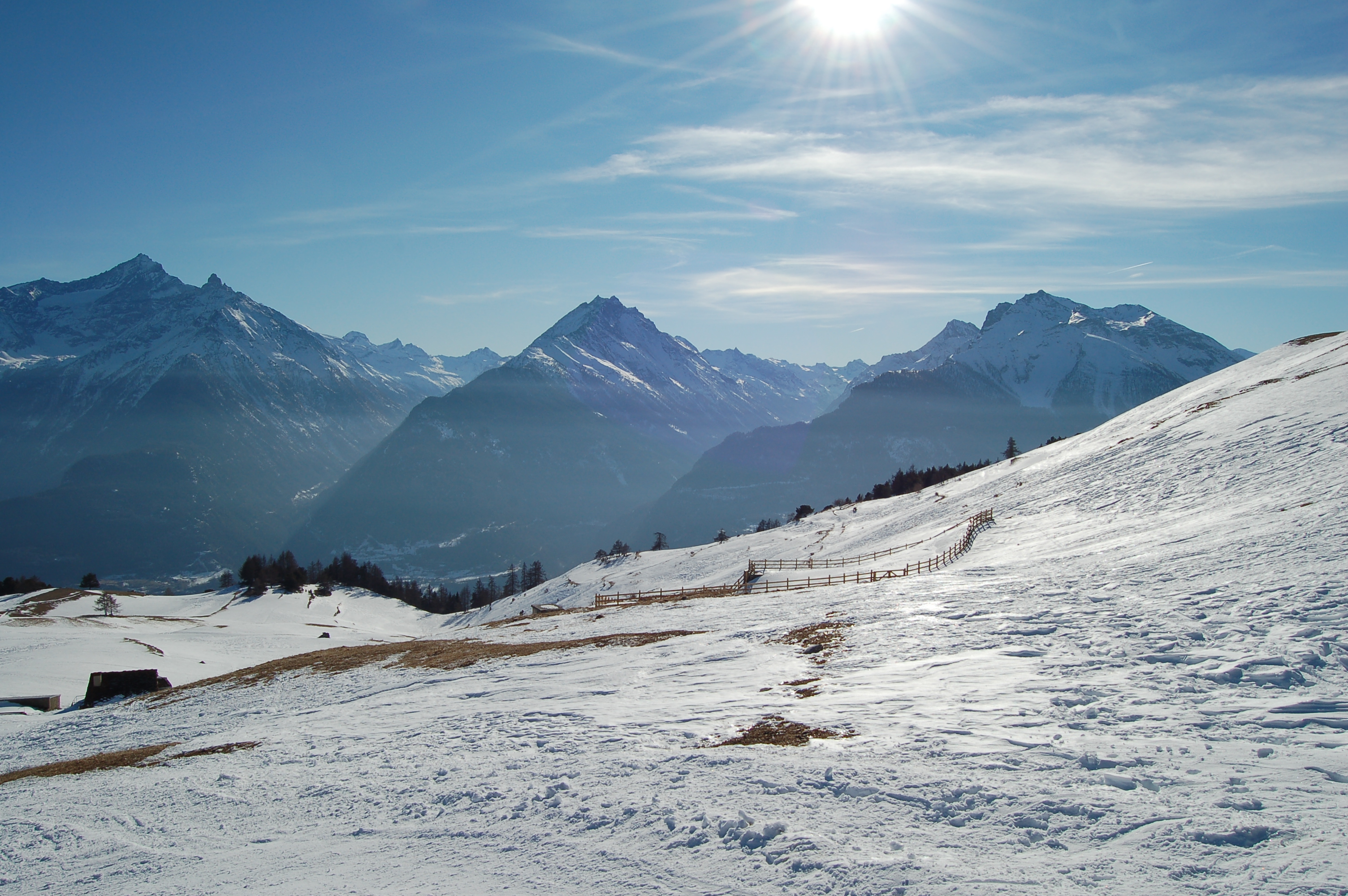
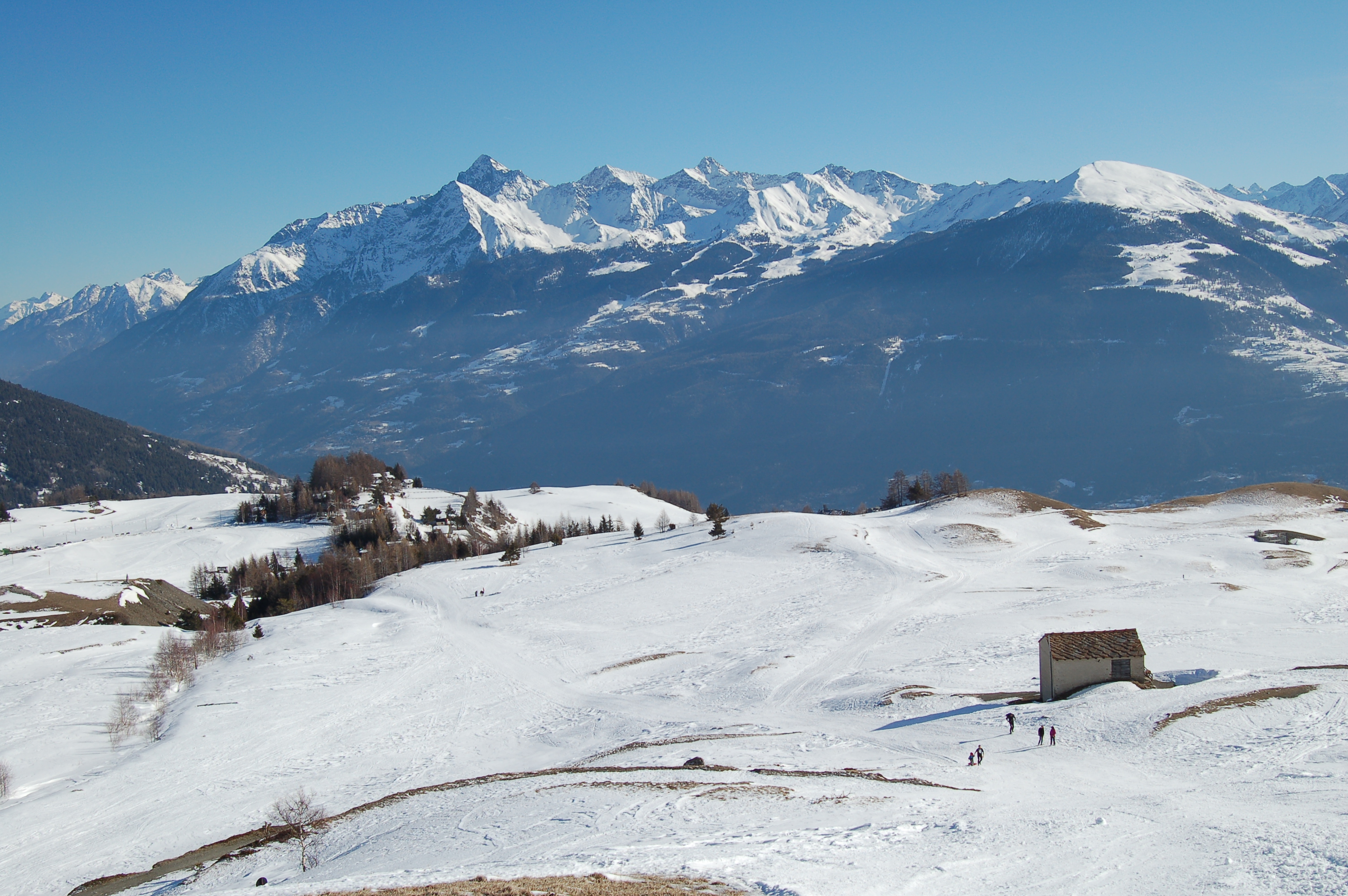
Leaving your car at the car park, you set off, putting your snowshoes on your feet at once. Take a beaten track to the right of the car park; turn left, taking you close to the houses adjoining the Hôtel, and then turn right up the steep track between the fir trees. At the end of the slope, you reach a wide plateau from which you have a clear view of the entire route to the foot of the Punta Leysser. After a few minutes, you reach a wide plateau that is particularly impressive in the moonlight: behind us, the clear silhouettes of the Becca di Nona, Mont Emilius and Punta Garin stand out in the silvery moonlight. We now continue towards the only visible construction in front of us: the Alpe Châtelanaz (1863m, 0h10'). From the alpine pasture, begin to climb a steep stretch of ridge, following the track beaten by the snowcat. The trail then goes around a hump, first turning right and then, with a wide curve, turning left. A small hollow is reached here and then a second steep section with an uphill traverse: the route then turns right and overlooks the passage to the Alpe Pesse desot (2007m) visible in front of us. The route turns to the right, ascending diagonally in the direction of the Vétan stream. We pass it a few hundred metres from the alpine pasture, which is finally reached in about 1h00 total walking time. The Grand Arpilles alpine pasture (2130 m) overlooks the beautiful mountain cirque that stretches from Emilius, and passing through Grivola, to Château Blanc and Rutor. The descent is made on the same route as the ascent, or you can make a partial loop by descending the pastures in front of the alpine pasture until you reach a snow-covered track. You follow it in sections down to the plateau where you meet the route taken on the way up and also the small chapel, built in 1992, dedicated to John Paul II. If you choose this route for an overnight stay, take a headlamp with you, just in case. Try instead to walk the route on a full moon day. Without turning on the light in the section through the pastures, the emotion is guaranteed.
Splendida giornata di stampo invernale: fredda, ma ben soleggiata.
Le condizioni della neve erano ottime (polverosa) e la traccia battura sino agli alpeggi (ma vista la non eccessiva quantità di neve non era un requisito indispensabile).
Bella gita in compagnia in occasione della sesta escursione inalto del 2007: un saluto a tutti i partecipanti!Splendida giornata di stampo invernale: fredda, ma ben soleggiata.
Le condizioni della neve erano ottime (polverosa) e la traccia battura sino agli alpeggi (ma vista la non eccessiva quantità di neve non era un requisito indispensabile).
Bella gita in compagnia in occasione della sesta escursione inalto del 2007: un saluto a tutti i partecipanti!


Comments (0)
Sign in to leave a comment