Comba of Arpisson

Introduction
A hike dedicated to those who love solitude and icy winter environments, as the sun fails to peep out at the turn of the year. The exposure means that snow is present, despite the altitude, right from the start and the slopes alternate from gentle to fairly steep in the initial part, while from Les Plans onwards they are continuous with no false-flat sections. The views of Mont Velan and the lower Valpelline up to its highest part, where the glittering peaks of the upper valley rise up, are worthy of note.
Description
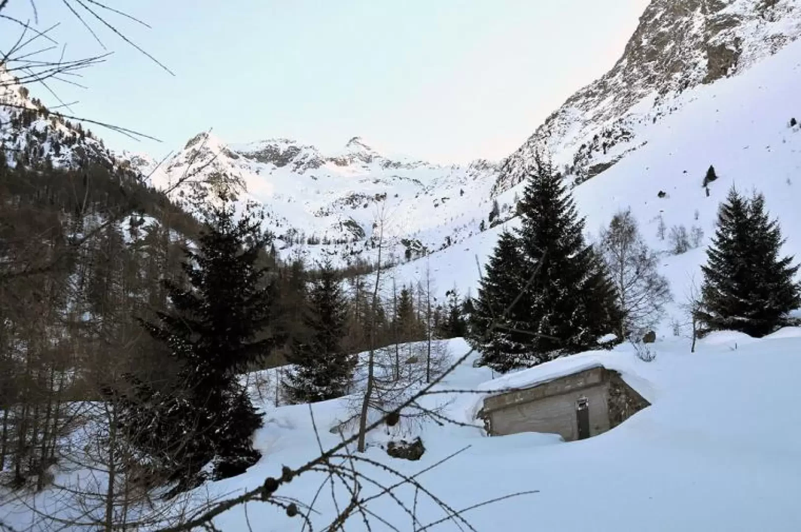
From the car park, walk to the right on the tarmac road to reach a bridge with hiking poles a short distance away and the starting point for the excursion. After the bridge, we pass the hut of the cross-country skiing track, which we cross, taking care not to spoil any beaten track, to take an obvious wide path that starts a little higher up, just straight in the direction we are walking. Immediately, the ascent is steep in the forest, we cross a small stream and come to a farm road that climbs to the left and that will accompany us to the end of the outing. We pass a small 'crotta' (hut) with a half-hipped roof next to a ruin and walk along a stretch of road protected by a fence, soon reaching the Ronceaz mountain pasture (1095m). Just beyond the alpine pasture, you come to a fork with marker numbers on the stone wall and follow the direction to the right of the number (4); the road continues making a traverse to the west and then, with gradients that except for a few short stretches are quite steep, after a few hairpin bends and passing a water intake, reaches Grangettes desot (1419m), which can be reached by a few metres' diversions from the farm road. To return to the road, one can either retrace one's steps a little or climb the short but steep slope to the right and reach a marker indicating the turnoff to Beillouc. Continue along the road, which climbs a little more steeply to a little stream, which you cross, and then contours flatly around the wooded promontory dividing the Val Freida from the Comba di Arpisson, reaching, after a short climb, the panoramic alpine pastureland of Les Plans (1512m). We now ascend into the forest along the edge of the promontory, with beautiful views of the chain that goes from the Champillon Peak to Mont Velan, and after a couple of switchbacks, from which there are sweeping panoramas of the upper Valpelline, we arrive near a water intake, the destination of the hike, where in front of us opens up the solitary Comba di Arpisson, dominated at the bottom by Mont Mary and the Tête d'Arpisson. To the left, on the opposite side of the small valley, the small Verney chalets can also be seen.
Si esce dall’autostrada alla barriera di Aosta est e si seguono le indicazioni per il traforo del Gran San Bernardo. Usciti dalla seconda galleria si trovano subito sulla destra le indicazioni per la Valpelline. Lasciata la SS27 si percorre la strada di fondovalle della Valpelline sino al capoluogo dove sulla destra si seguono le indicazioni per il campeggio e per il centro sportivo. Arrivati al primo parcheggio sulla destra si può lasciare l’auto.