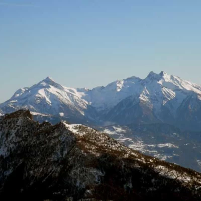
Col Léché, from Clemensod
Introduction
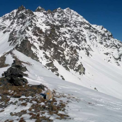
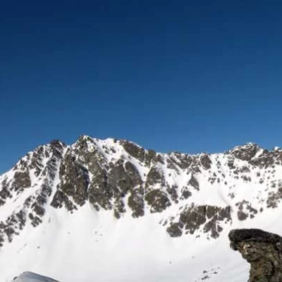
The Col Léché is the wide crag located on the watershed separating the Comba Dèche to the north from the Comba de Chaléby to the south and joins the western crest of Mont Faroma with the respective eastern crest of the Grad Pays. The hike, which is long and demanding, takes in little-visited places in the upper St. Barthelemy valley and should be undertaken when the snowpack is well groomed, both for crossing the steep rocky rampart halfway along the route and for the upper slopes beyond the Léché alpine pasture subject to avalanches. The route is very suggestive and develops on slopes that, at the beginning, are gentle and not very accentuated while, from the beginning of the path at an altitude of 1962, they become more demanding, also due to the short but exposed traverses.
Description
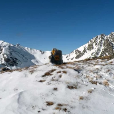
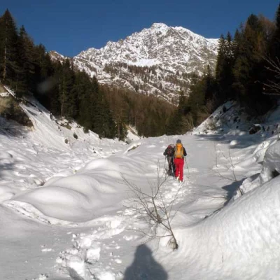
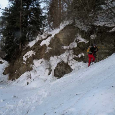
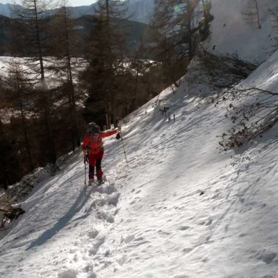
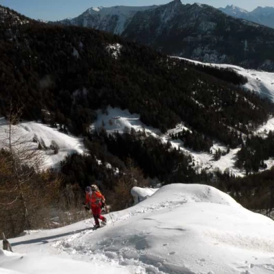
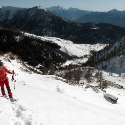
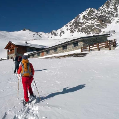
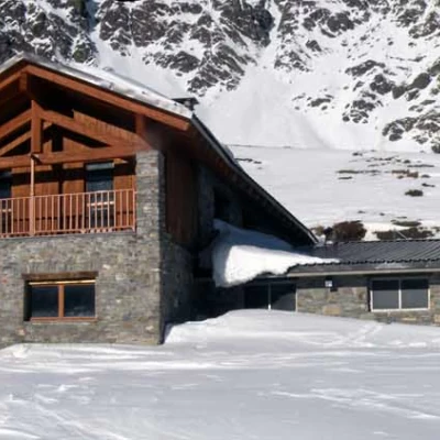
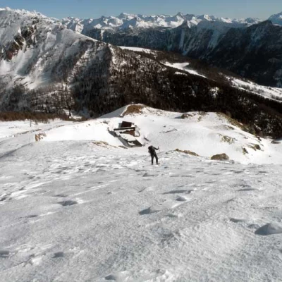
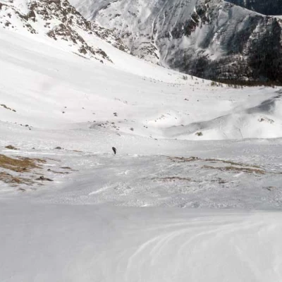
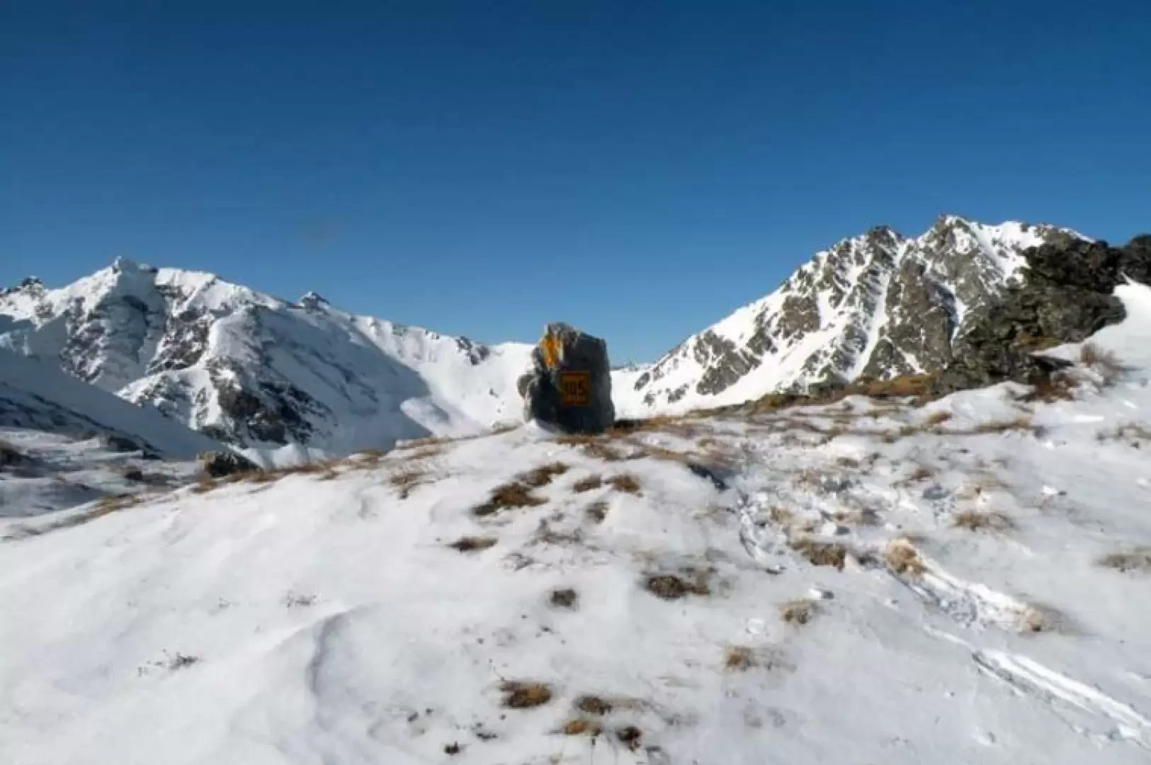
From the barrier, continue on the track of the farm track that, slightly downhill, skirts the side of the mountain, approaching the torrent that you cross on the left; having made the turn to the left, you reach a small hut (1627 m) from which you continue to the bottom of the valley following the course of the torrent. which you leave to the right. Walking along the track of a wide mule track, we pass a water lock, after which we cross the stream at its best point; the progression continues on a slight incline in the splendid valley, with the imposing outline of Mont Faroma in front of us. After passing a second water lock, we join a farm track coming from the right (1817 m) and cross the stream again on a bridge, continuing on the track of the farm track that climbs to the left; to avoid lengthening the route too much on the road, it is better to climb directly up a wide slope and then return to it further up. You soon reach a fork in the road, well signposted by road signs (1912 m), at which you turn left and, on a path with a slight incline, you almost immediately come to the next fork in the road with a clear marker on a rock (1962 m). Climb up into the wood with the slope now increasing noticeably and, remaining slightly to the right of a monorail serving the upper alpine pasture (if visible), pass below numerous protruding rocks, making a few short but exposed traverses; moving to the right of the rocky bastion, temporarily abandon the monorail route, arriving at a panoramic notch from which you continue the ascent more directly, now outside the sparse wood, which comes out on a slope in more open spaces. Entering the valley, one keeps to the right slopes heading towards a large crag with a yellow arrow, which one passes, to arrive at an evident collar (2286 m) from which, instead of following the path that continues with a long and exposed traverse, it is better to climb the short steep section that leads to the summit of the ridge topped by a few plants. Now the ascent softens a little and we head north between the gentle slopes on which the beautiful Léché alpine pasture (2353 m) is located. We pass it on the right and, without descending into the basin below, we follow the ridge that rises with steeper slopes to the left. When the path flattens out a little, and without getting too close to the slopes of the Grand Pays, turn slightly to the right in the direction of the wide hollow, which is reached with a final steep section.
