Col d'Entre Deux Sauts, from Planpincieux


Edited by:
Giancarlo Beretta
Updated at: 03/09/2024
Introduction
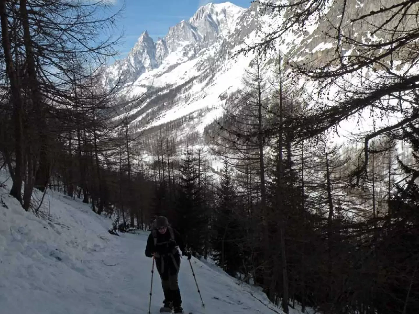
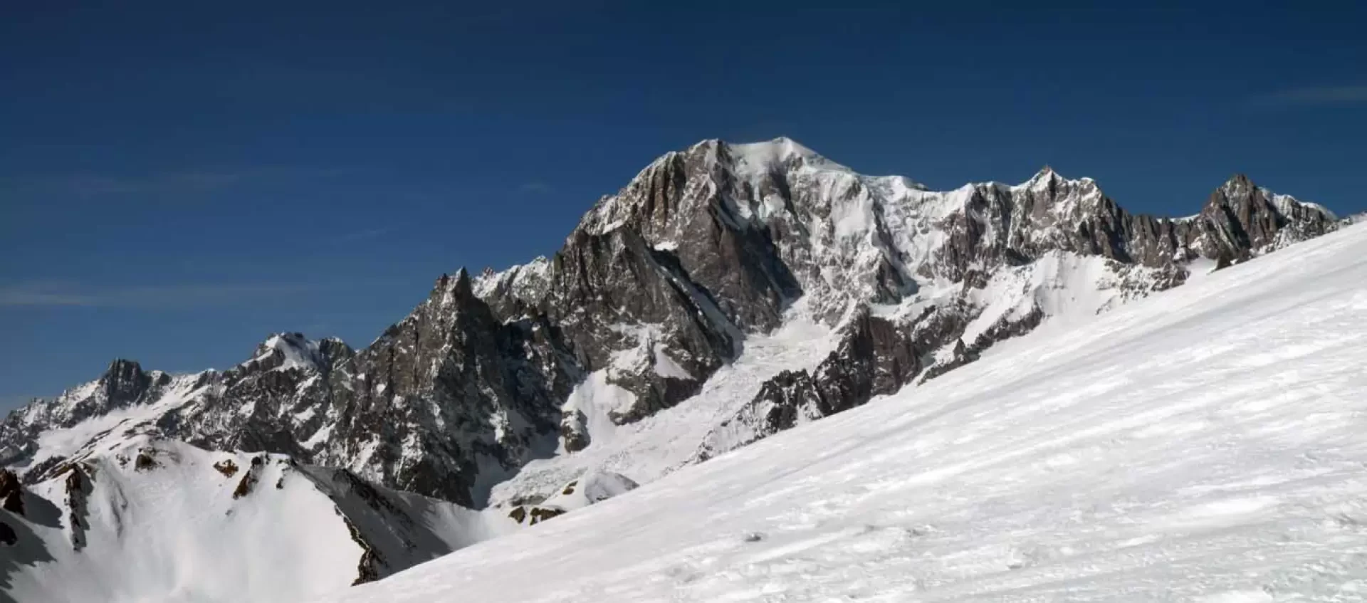
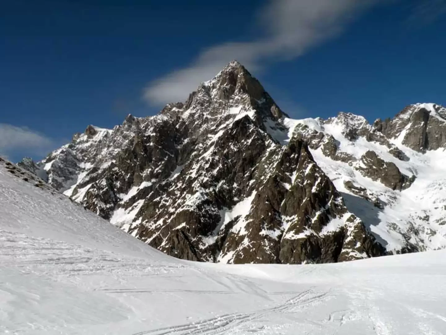
A long but not difficult excursion that unfolds in beautiful and panoramic surroundings with spectacular views of the Grandes Jorasses and the entire chain of high peaks reaching as far as Mont Dolent to the east, while to the west, the gaze sweeps towards the imposing Mont Blanc massif and Val Veny. The first part of the excursion takes place on the flat and somewhat monotonous road at the bottom of the valley, but as we climb up towards the Bonatti Refuge, the views are wasted and become more and more extensive as we gain altitude. This climb is recommended for everyone, even beginners, who want to try their hand at a discrete difference in altitude combined with the considerable distance of over 18 km.
Description
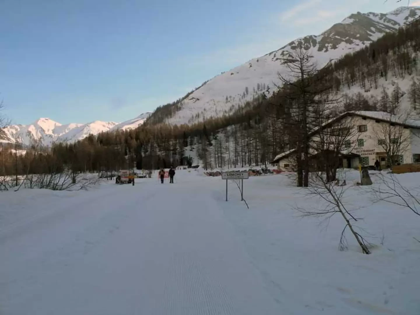
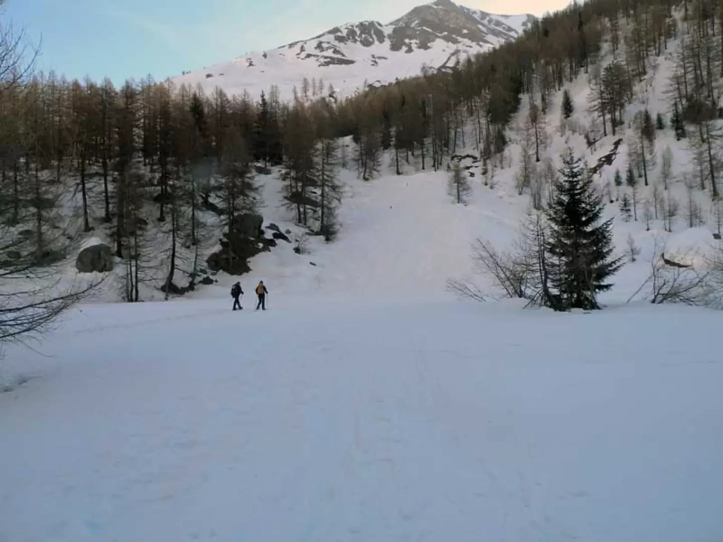
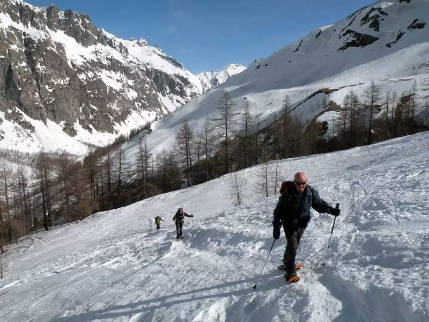
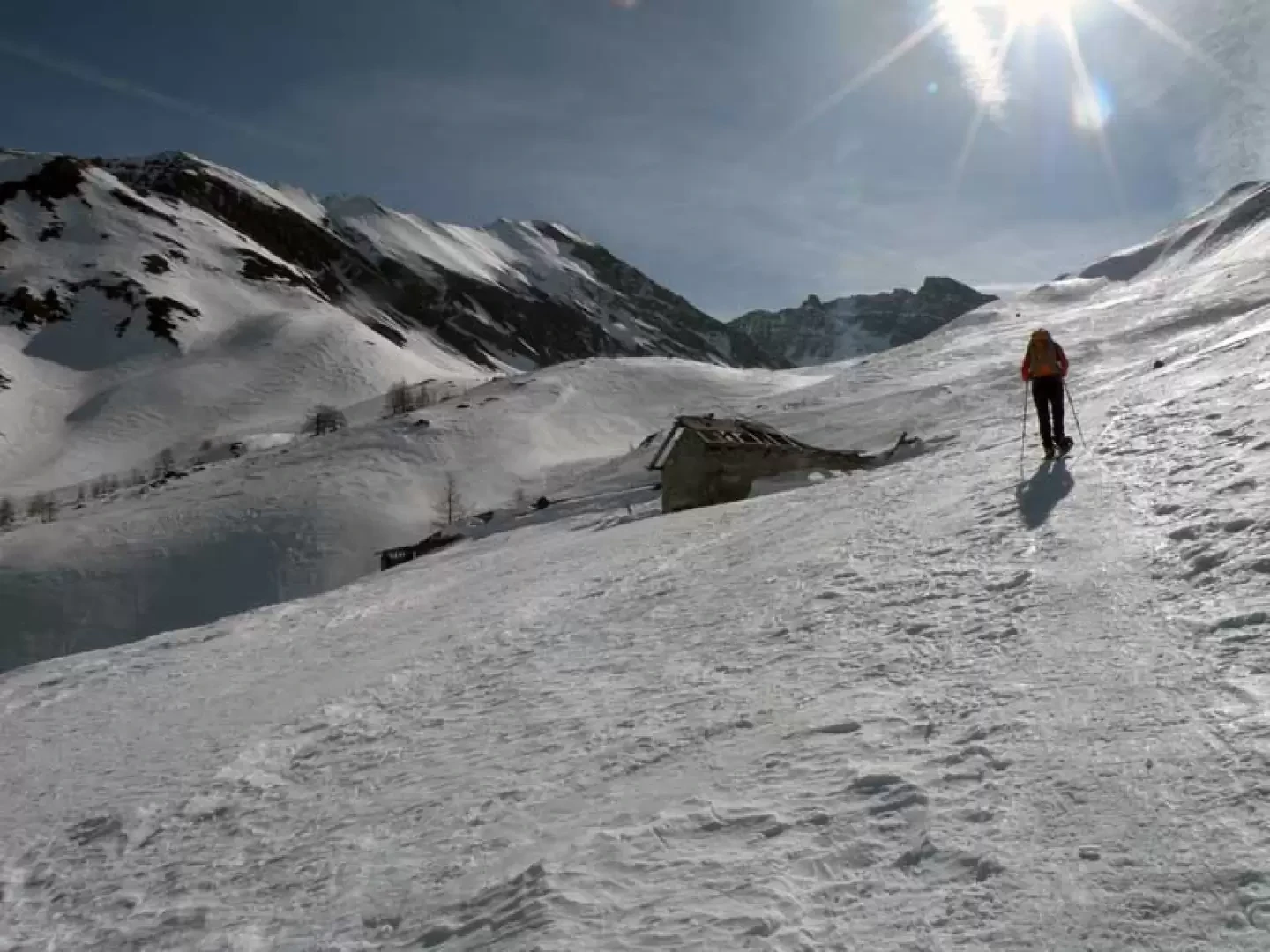
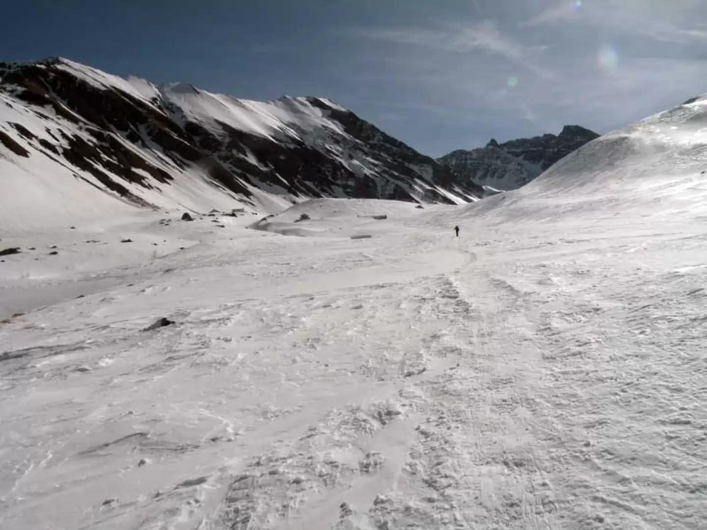
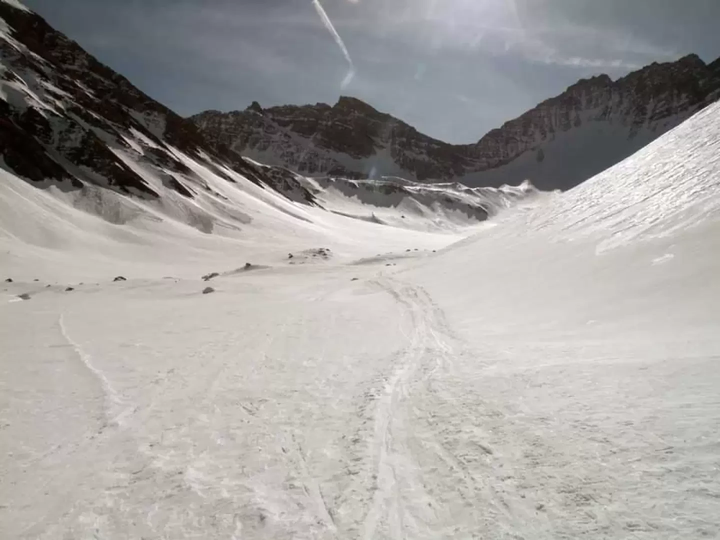
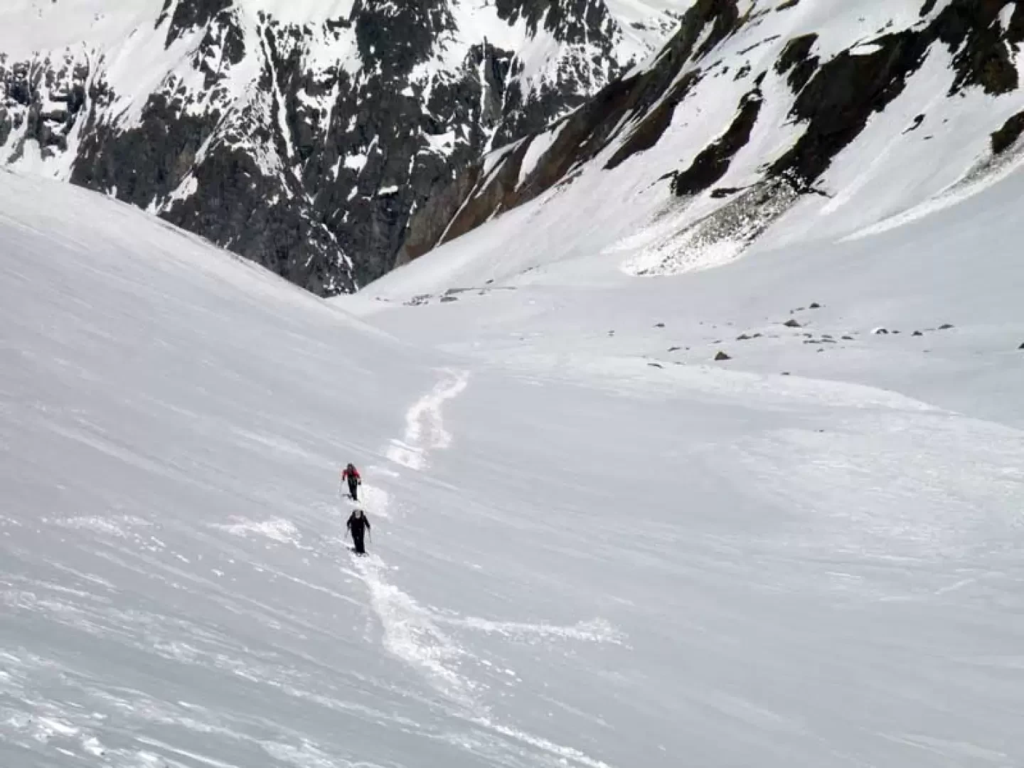
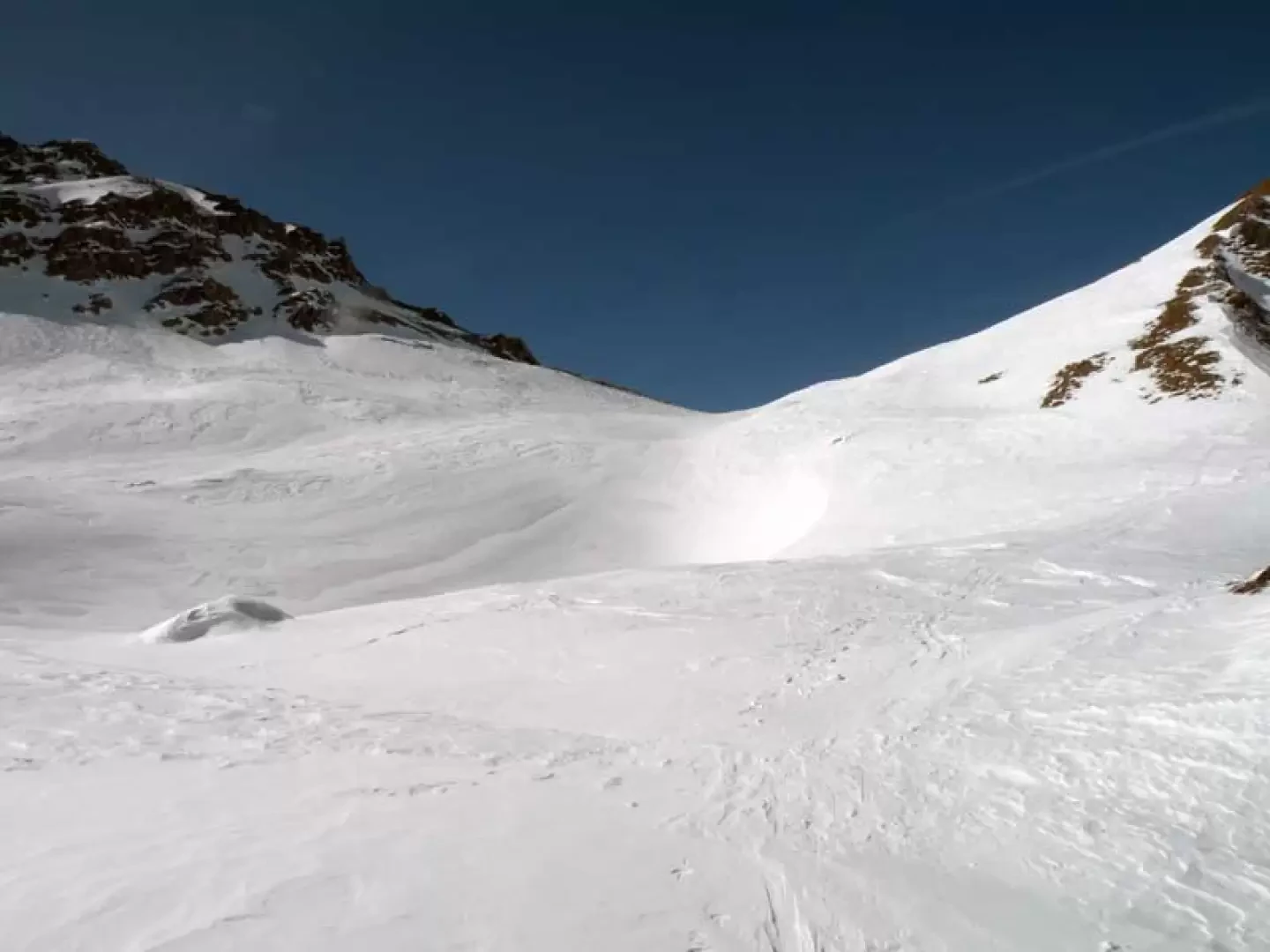
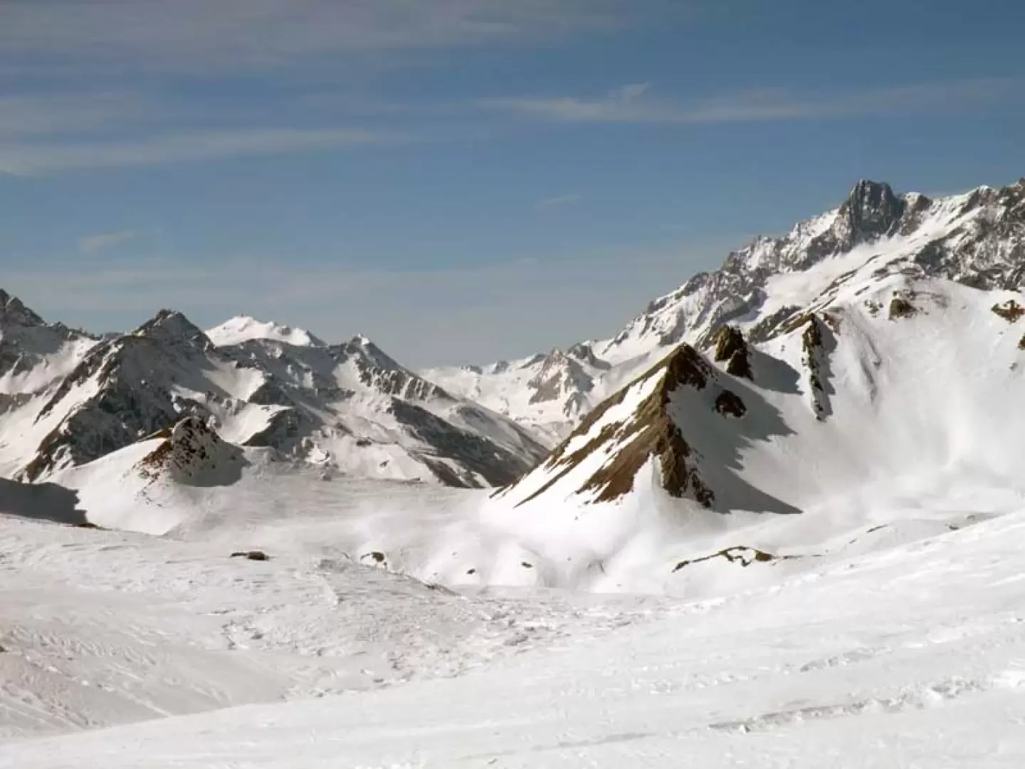
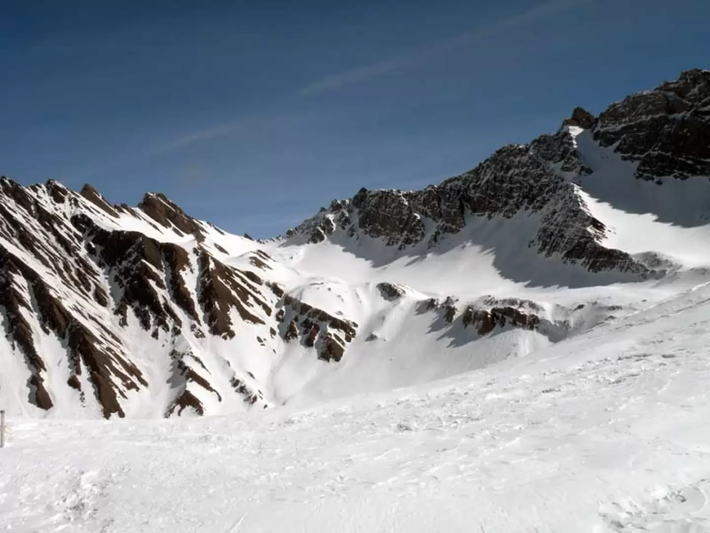
From the car park we set off on the footpath which, on an almost level course, skirts the cross-country skiing track, passing in front of a small chapel and then passing the Tronchey huts (1633 m). Still with a very slight incline, we enter the splendid Val Ferret, first passing the huts of Pra Sec (1643 m) and then reach the village of Lavachey (1656 m) where the footpath ends; we continue in the same direction, staying off the track, for a few dozen metres until we arrive below a wide and evident slide/channel that is on the right of the route. We climb it again with a few hairpin bends, moving to the left where, entering the wood, we intersect the track that rises from the beginning of the path that starts beyond the hairpin bends of the cross-country ski track; with many hairpin bends we climb the slope that winds through the trees and then arrive in more open and panoramic spaces that soon lead us to the Bonatti refuge (2040 m). Leaving the hut to the left, continue up the upper undulations among which you will soon reach the ruins of Malatrà desot (2073 m). Leaving these to the left as well, continue into the Malatrà valley where, moving a little to the right, you will arrive where the route flattens out a little and pass the last huts of Giuè damon (2215 m). Continuing along the right-hand side of the valley, you reach the vast upper plateau of Malatrà, from where you begin to move further to the right, continuing on a comfortable and fairly long traverse; heading towards a low promontory surmounted by an evident rock, you pass it to climb up some short, somewhat steep rises. These lead to other low rises at the top of which there is a wide creek, which, passing you know points of lesser slope, you will soon reach.
Photo gallery


Comments (0)
Sign in to leave a comment