Cima Piana, from Mont Blanc

Edited by:
Sergio Enrico
Last survey: 12/10/2006
Updated at: 04/12/2025
Updated at: 04/12/2025
Difficulty
MS
Length
0.00 Km
Departure altitude
1683 m
Arrival height
2512 m
Positive difference in height
829 m
Round trip time
02h30'
Recommended period
Introduction
Short itinerary on very sunny slopes to be undertaken in mid-winter.
Description
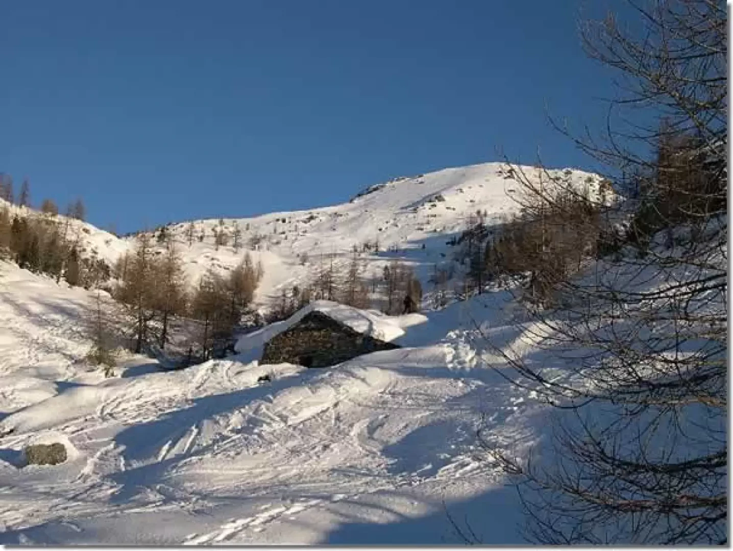
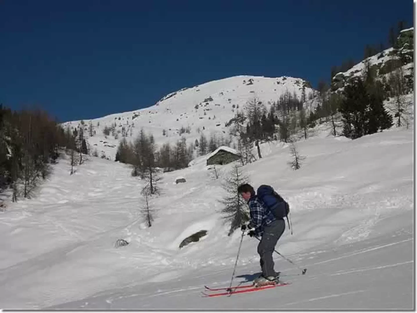
Follow for a short distance the road that leads to Dondena as far as the last hairpin bend, from which, through meadows, passing close to the La Cort Alp, you ascend directly and then move slightly to the left, entering the little valley that descends from Lake Muffé. When you reach the basin of the lake you can follow two itineraries, depending on the snow conditions:
- with sure snow from the lake, head directly for the peak along the steep southern slope
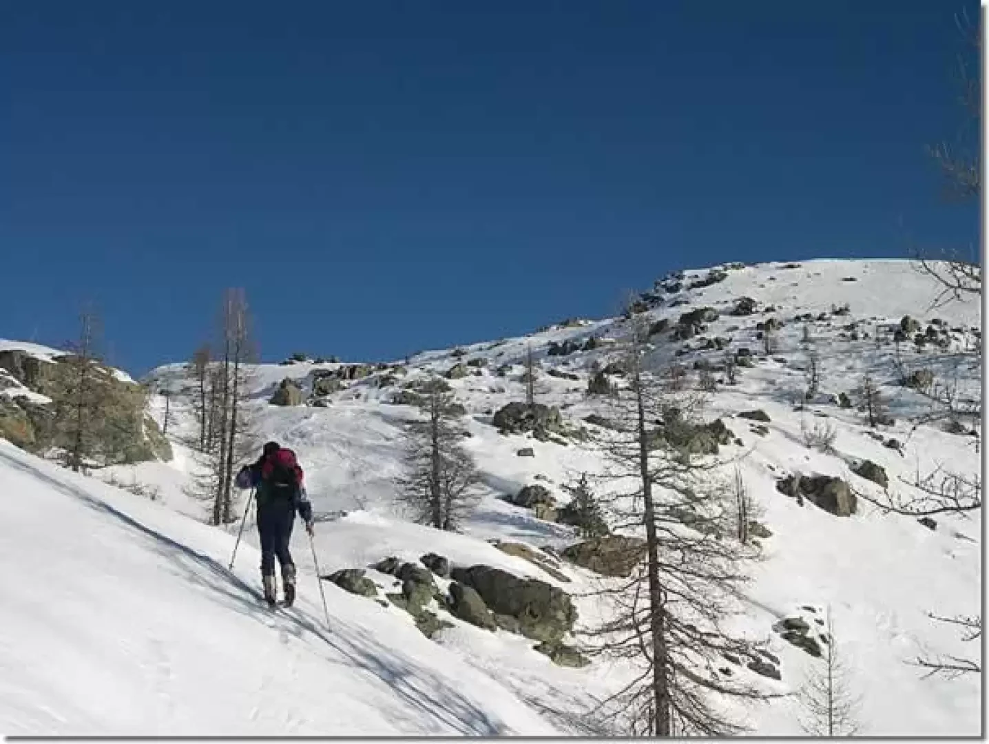
- continue along gentle slopes among sparse larch trees as far as col La Croix (2287 m)
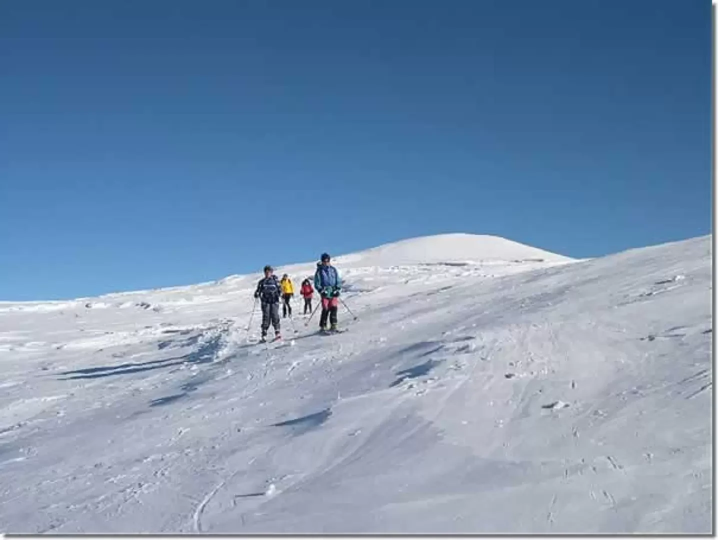
From the pass, walk along the wide ridge strewn with large boulders, and then overcome a steeper section as far as the wide peak.
Photo gallery
© 2021 - Sergio Enrico
© 2021 - Sergio Enrico
© 2021 - Sergio Enrico
© 2021 - Sergio Enrico
© 2021 - Sergio Enrico
Comments (0)
Sign in to leave a comment