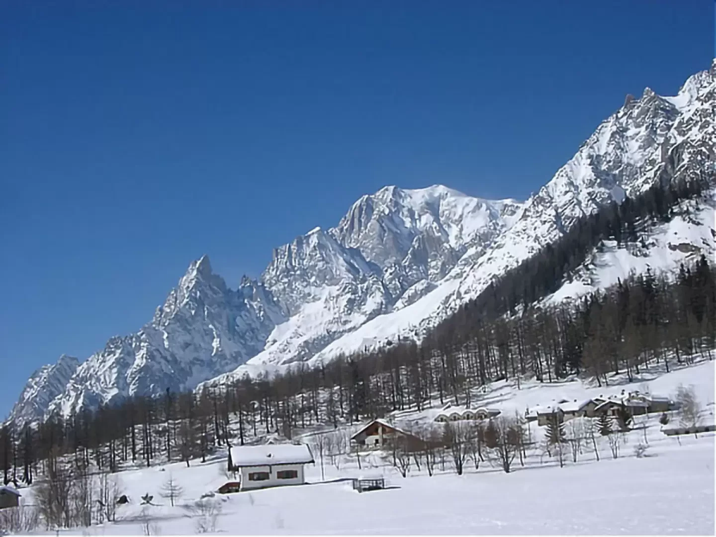
Tête d'Entre Deux Sauts, from Planpincieux


Edited by:
Vivalaporchetta
Updated at: 19/07/2026
Access
Navigazione stradale
Lasciare l’autostrada allo svincolo di Aosta Ovest e immettersi a destra sulla strada regionale per la valle di Cogne. Dopo 400m (0,4km) alla rotonda prendere la seconda uscita entrando nella strada statale , da seguire per 32,4km (32,8km), attraversando e costeggiando gli abitati di Saint-Pierre, Villeneuve, Arvier, Avise, Derby, La Salle, Morgex e Courmayeur, sino a raggiungere l’uscita per Larzey – Entrèves. Svoltare a destra su Strada Larzey – Entrèves e percorrerla per 450m (33,25km). Proseguire su Strada la Palud per 2,1km (35,35km). Continuare su Strada della Val Ferret per 850m (36,2km). Percorrere la strada per la località Planpincieux per 375m (36,6km) e svoltare a sinistra per raggiungere il piazzale del parcheggio dopo ulteriori 75m (36,7km).
Parcheggio
In località Planpincieux si trova il piazzale del parcheggio 🅿️ a pagamento, punto di partenza di numerosi itinerari in Val Ferret. L’accesso alla Val Ferret è regolato da un varco con sbarra automatica posizionato a La Palud: l’ingresso è consentito fino alla saturazione degli stalli disponibili. La sosta è a pagamento nella fascia oraria dalle ore 9:00 alle ore 19:00 in base alle tariffe stagionali approvate dal comune di Courmayeur. Per informazioni aggiornate su tariffe e modalità di accesso consultare il sito del comune di Courmayeur.
Accesso con mezzi pubblici
La Val Ferret è raggiungibile con le navette Arriva Valle d’Aosta 🚌 che collegano Courmayeur a Planpincieux e, in stagione estiva, proseguono fino a Lavachey. Verificare orari e frequenze su aosta.arriva.it.
Distanza e tempo di percorrenza
🕒 Tempo di percorrenza: 46 minuti
📏 Distanza: 37,2km
Navigazione GPS
Nota informativa
Le indicazioni fornite sono state verificate alla data del rilievo dell’itinerario. Prima della partenza si consiglia di verificare possibili variazioni del percorso o delle condizioni stradali. Per informazioni aggiornate si raccomanda di consultare Google Maps o Apple Maps.
Introduction
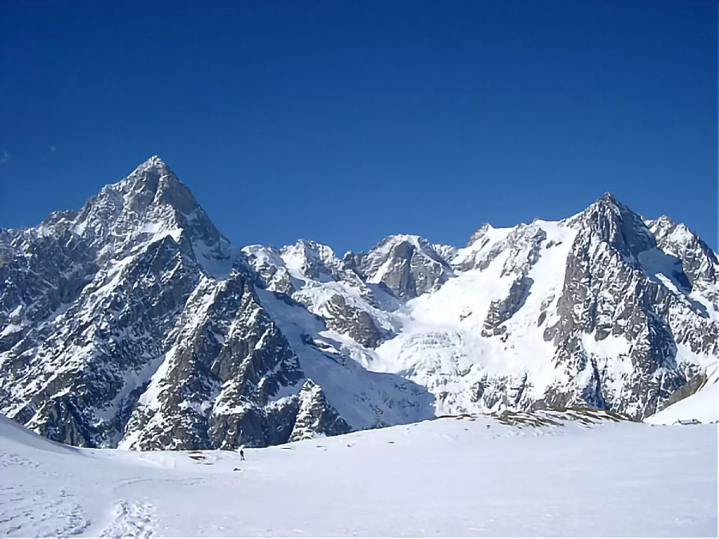
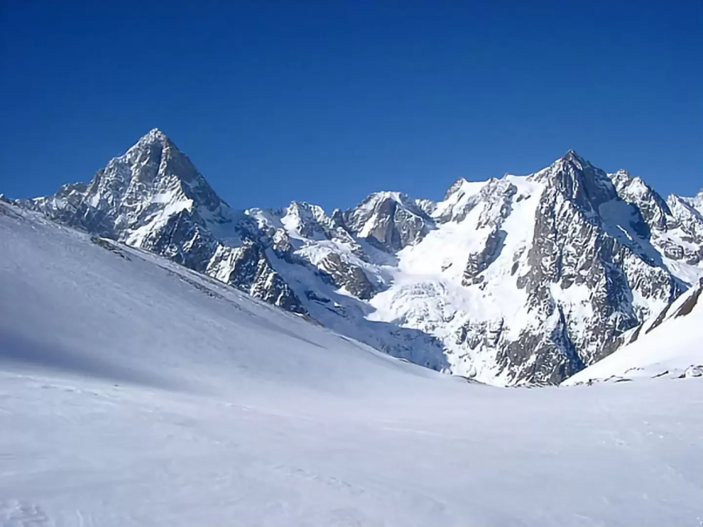
Good tour around a very scenic peak. The skiing part is also interesting. If in good condition, the direct descent from the peak on the north-facing slopes is interesting. Superb views!
Description
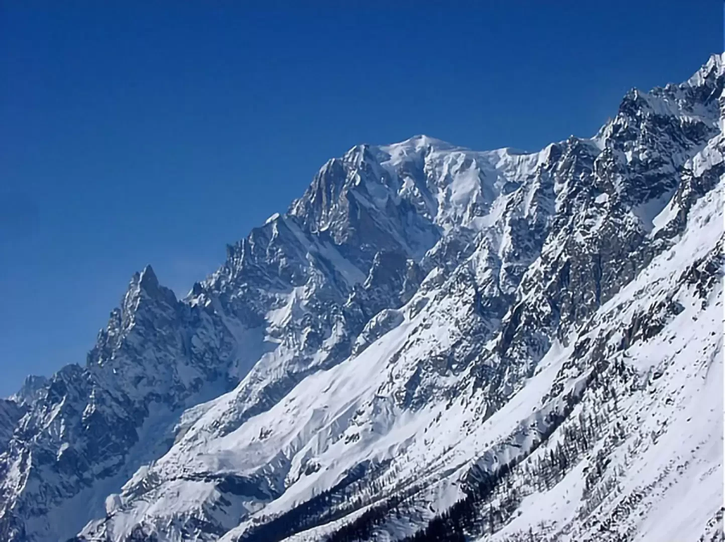
From Planpincieux (1593m) follow the footpath along the cross-country tracks to Lavachey (1640m, bar) and after a hairpin bend you will reach the bridge (1695m) from where the path to the [[Rifugio Bonatti]] (signpost) starts. You go up into the woods on the mule track and at a fork (1851m, signpost) you go left and soon exit the woods. A short ascent leads to the Bonatti hut (2056m). Climb the hump behind the hut and enter the flat part of the Vallone di Malatrà (2213m). One ascends on gentle slopes in the centre of the valley. At around 2400m, turn right and climb a wide valley that leads to the wide saddle of Pas entre deux Sauts (2524m). To the right, climb the wide crest to the summit (2729m). Descend to the pass. Turn right, on the opposite side of the ascent, and with a wide loop to the right, descend to the Sécheron alp (2260m). If you wish, you can descend via one of the more direct channels. From the alpine pasture, descend the beautiful Armina valley, on very beautiful and easy slopes, to the alp of the same name (2008m). From here, head to the right and with a long diagonal stretch you will reach Sécheron (1924m) and, following a small road, into the forest to the 1851m fork encountered on the ascent. If you wish from Armina, you can descend directly to Pra Sec by going straight, instead of to the right, down through sparse woodland and a few stretches with somewhat dense vegetation, to the right of a gorge. You arrive at the level at 1700m and take the cross-country track back to Planpincieux.
.Photo gallery
Comments (0)
Sign in to leave a comment