Punta Tersiva, from Lillaz


Edited by:
Ermanno Panara
Updated at: 29/05/2026
Access
At the motorway junction of Aosta West, turn right and take the regional road for the Cogne valley. Drive through the village of Aymavilles and, after 1.3 kilometres, take the second exit at the roundabout. Go up the regional road for 19 kilometres, passing the villages of Vieyes, Epinel and Crétaz, until you reach a roundabout: take the second exit, following the signs for Lillaz. Continue on the communal road for about one kilometre until you reach another roundabout; continue straight on for another 1.8 kilometres until you reach the large free car park 🅿️ in Lillaz.
[0h32'] - [24.0km]
How to get there with GMAPS
How to get there with Apple Maps
The directions provided have been carefully checked at the time of the route survey. However, it is highly recommended to check for any changes that may have occurred since then, especially regarding the route to the starting point. Before embarking on your journey, it is advisable to consult up-to-date navigation tools for accurate and up-to-date directions. We recommend the use of satellite navigation apps, such as Google Maps or Apple Maps, to ensure the most accurate and safe route.
Introduction
Description
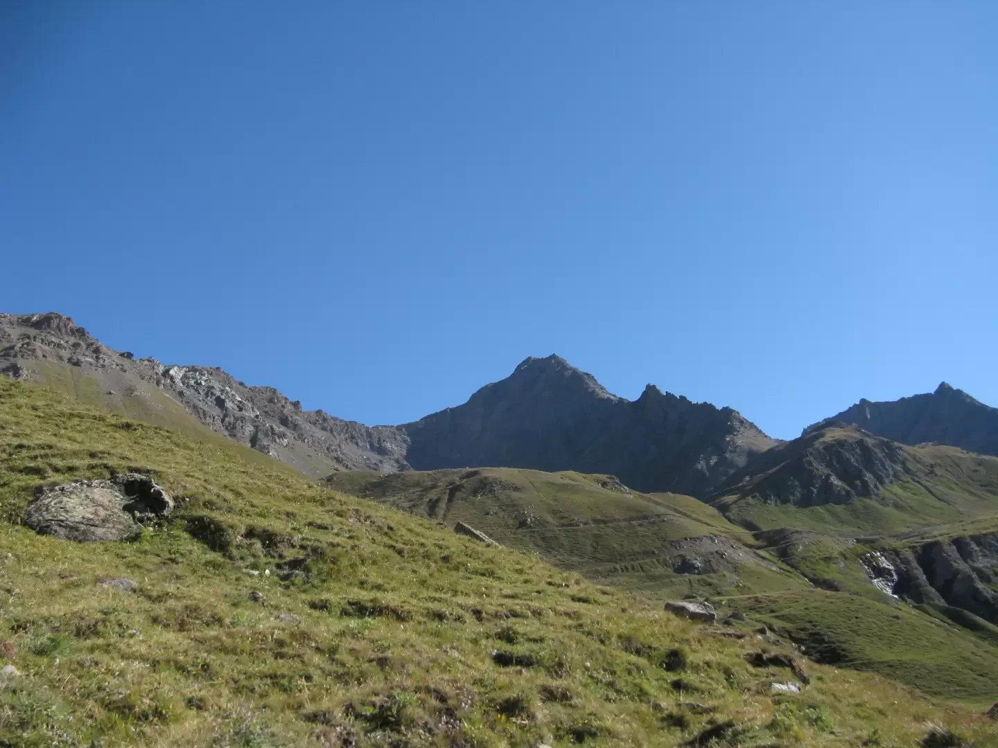
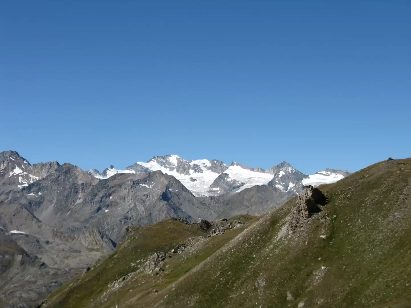
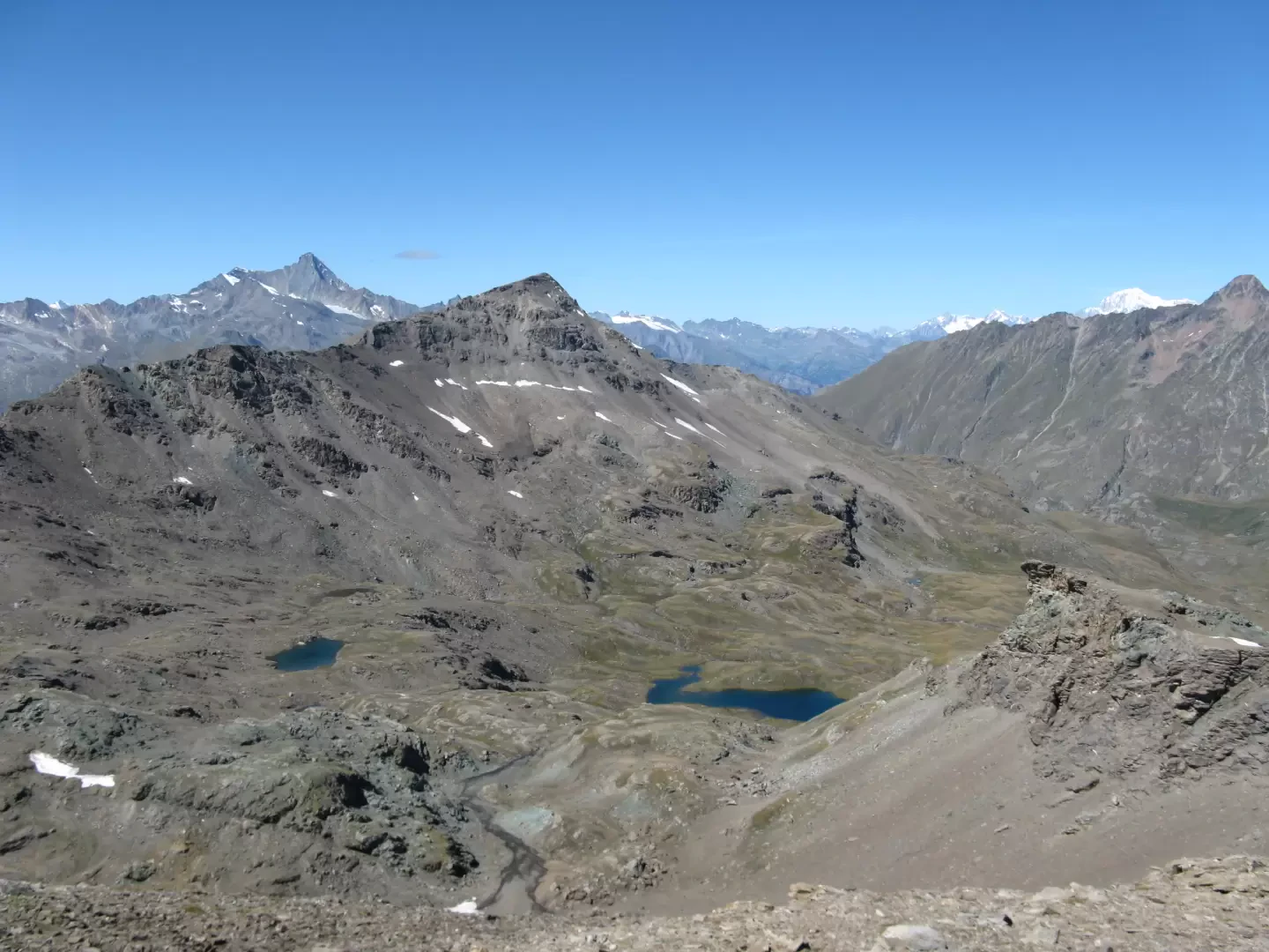
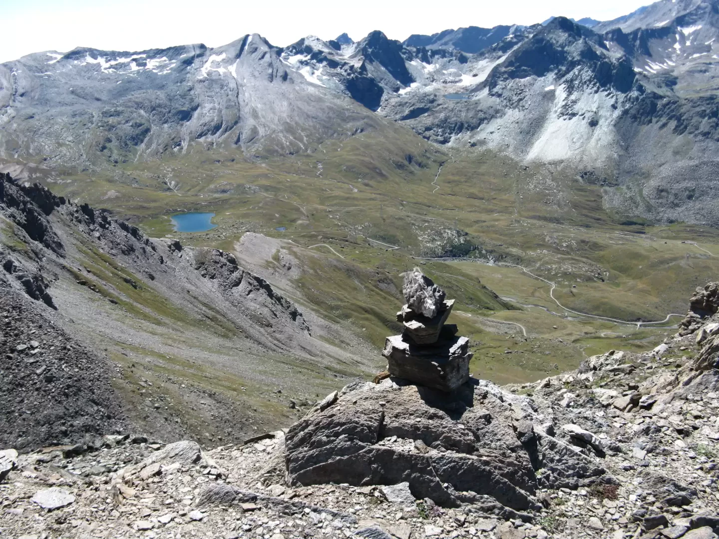
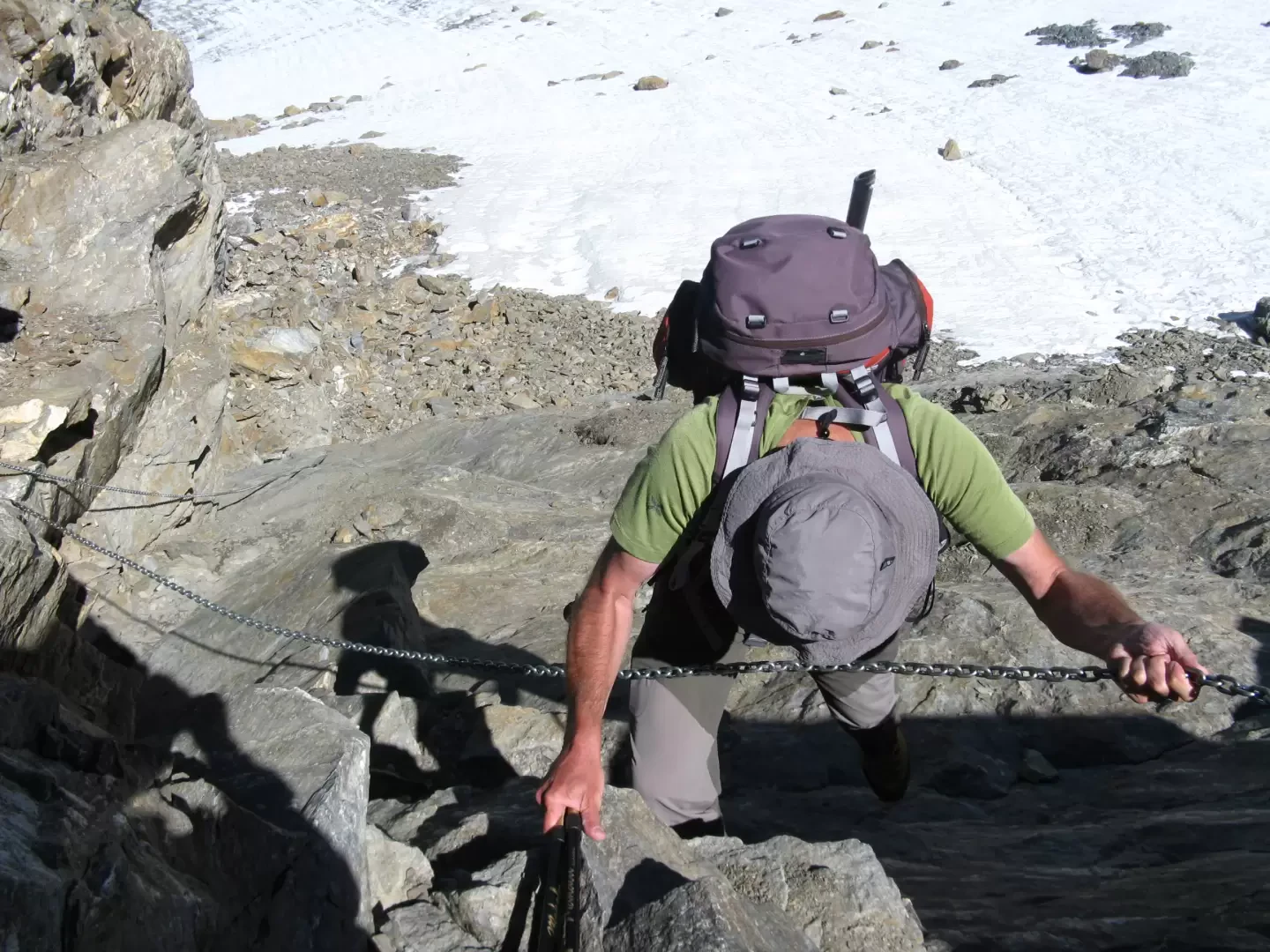
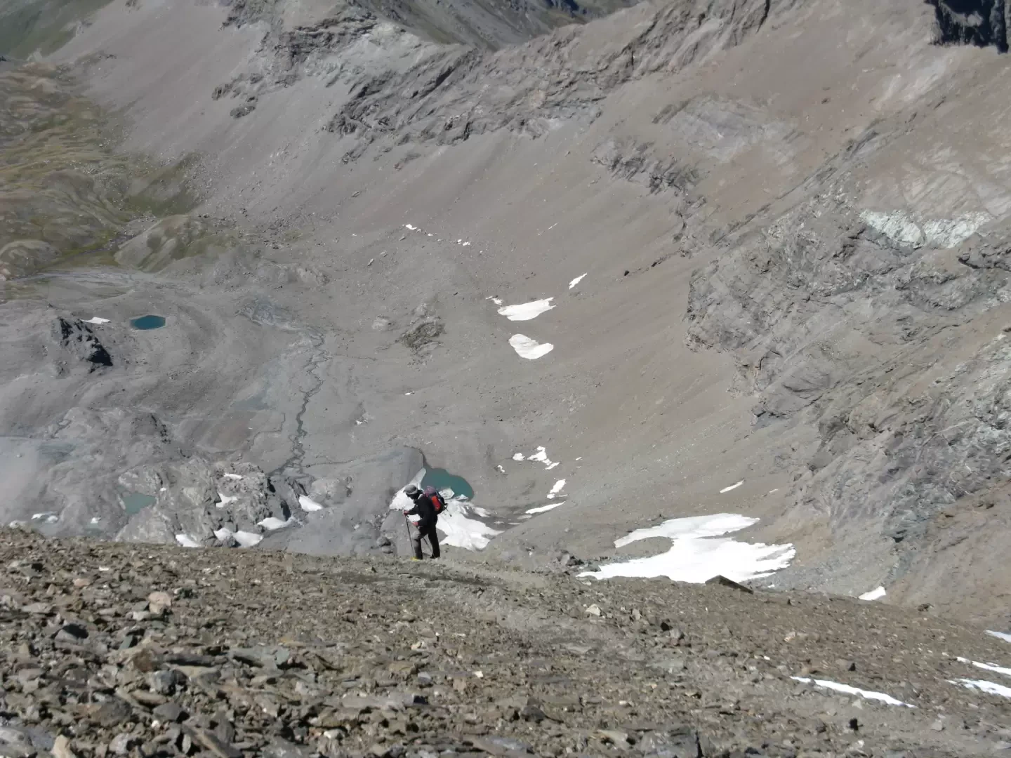
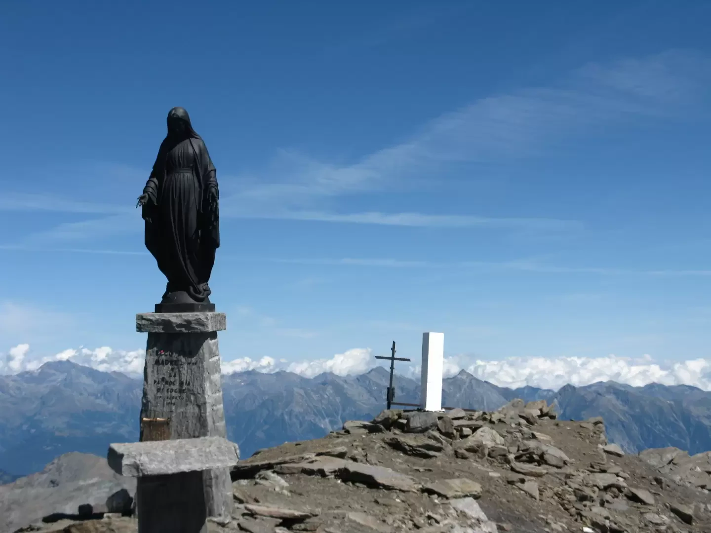
Leave the car at the Lillaz car park (1623 m) and take the road that runs alongside the Urtier stream. Shortly after the CVA building, a path with Alta Via trail markers No. 2 and No. 13 rises on the left. Climb up into the forest and after about ten minutes you come out into the open where there is a marker on the right for the climbing wall. Ignore it, turning left and continuing to climb, still following the marks of Alta Via no. 2. Follow the course of the torrent on its orographic right, staying a few dozen metres higher up. Go through the hamlet of Goilles desot, continue almost level and at an altitude of 1821 m, cross the Urtier on a wooden bridge. The path climbs again through the forest for a few hundred metres until the houses of Bouc (1861 m) come into view. You then leave the Alta Via and reach the small village, after crossing it, a dirt road leads to a second bridge to be crossed in turn. You then return to the orographic right of the stream, from where a track begins on the meadow. By following this track, you can avoid a long path along a farm track. At an altitude of 1960, the path continues, crossing the road three times. A small church is reached at an altitude of 2020 and from here, one can only follow the dirt track. After a long winding path, past a beautiful waterfall, you come to a hairpin bend with a bridge that still crosses the Urtier. Before the bridge, take an unmarked but obvious track that goes up the right-hand side of the stream and leads to a beautiful plateau where the Ponton, de Peradza and other minor streams flow into the Urtier. At a certain point, the track disappears and it is necessary to ascend the meadow to the left. At the height of some ruins, you come to a dirt track with a 10D marker, which you must follow until you reach an altitude of 2507 metres. Then turn left onto the little road to Alpe Invergneux (2524 m). Cross the alpine pasture and head right over the meadow, climbing until you come to path no. 10D leading to the Passo des Invergneux (2902 m), which you reach after about four hours of walking. From the pass, follow the ridge to the right. The summit is clearly visible but still a long way off, but a faint trail winds its way first over grass, then over earth. A step of unsafe rock obliges a descent of a few metres down the north-west slope, called "la Serra", which must be traversed on shaky stones and from where there is a fine view of the Grauson valley. Small snowfields are encountered and, aided by poor, often collapsed cairns, you climb steeply on unstable ground to reach the other side of the mountain, from where you can admire the Urtier valley, Lake Ponton and the Finestra di Champorcher. One must always walk carefully because the path is exposed and the terrain is friable and often slippery. At an altitude of around 3200 m, some obvious cairns on the ridge indicate that one must descend further. You are now on a plateau of earth where the track and some cairns are visible. After a short ascent, more large cairns are reached. From here the mountaineering section begins. At an altitude of 3194, a chain helps to descend a 24 m wall on rather smooth and slippery rock, where it is also difficult not to drop stones. The descent leads to the attack of the Tessonet glacier, which must be crossed in the direction of the width and has no crevasses. The use of crampons is necessary, however, as there are snowy stretches interspersed with others of live ice. At the end of the glacier, you climb steeply up the moraine, halfway up which you meet the track coming from the Grauson valley. We finally reach the Colle Tersiva at 3310 m altitude. The final section climbs the ridge alongside the year-round snowfield with steep serpentines on gravel to the summit, where there is a bronze statue of the Madonna and a small cross. Walking time: seven hours from Lillaz. The descent follows the same route as the ascent, trying to cut across meadows when possible to avoid the long stretches of track.
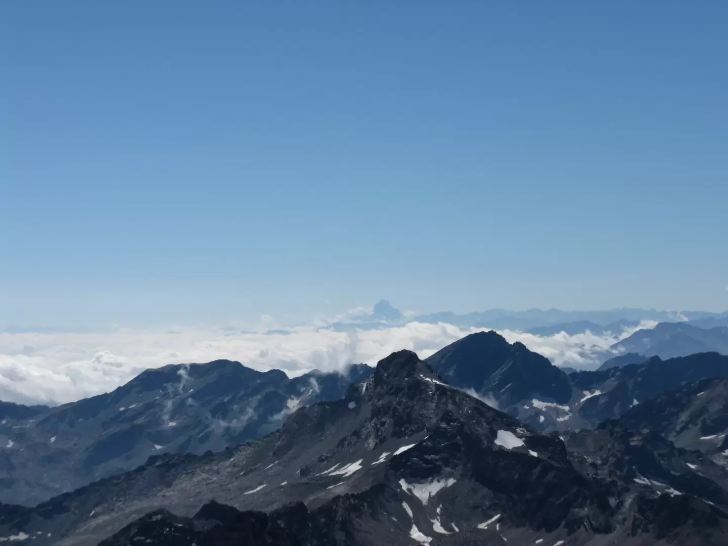
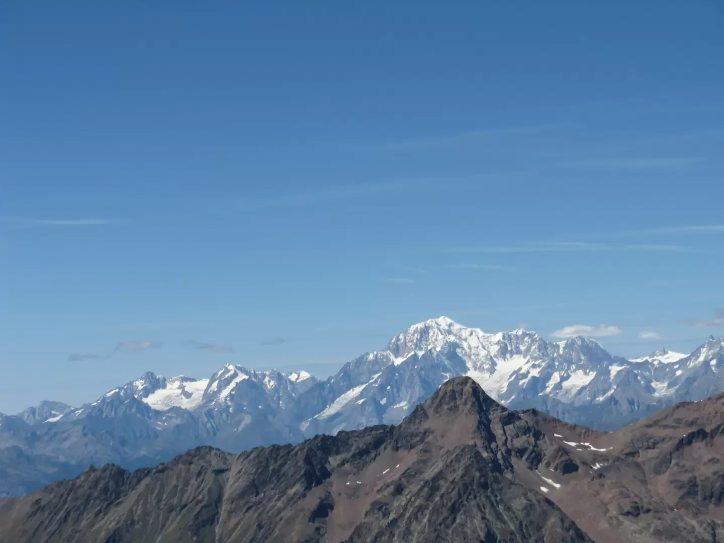
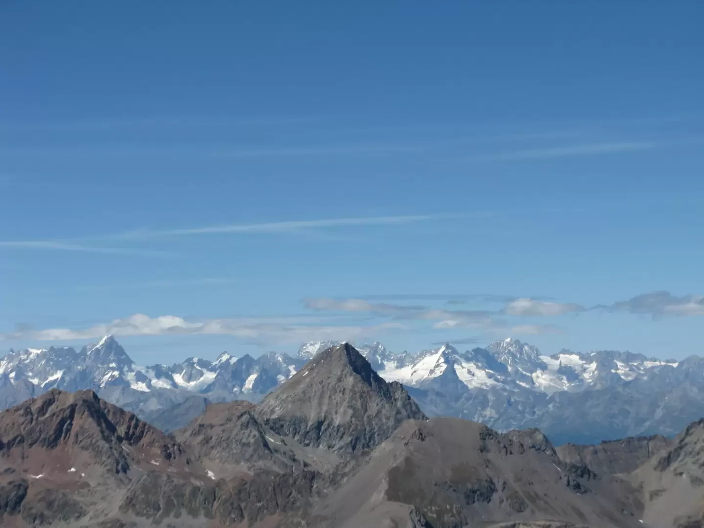
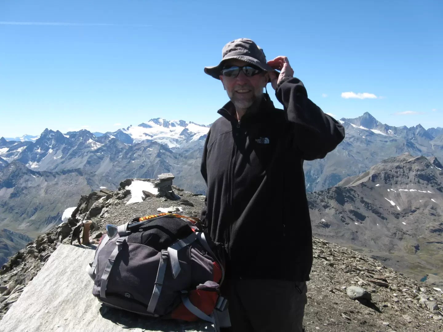
Photo gallery

Comments (0)
Sign in to leave a comment