Naso del Lyskamm, from Rifugio Quintino Sella to Felik

Edited by:
Giancarlo Beretta
Updated at: 03/09/2024
Access
Take the A5 Turin-Aosta motorway and exit at the Pont St. Martin tollgate, where you follow the signs for the Gressoney valley; once in Gressoney la Trinité, continue on towards Staffal, which you will soon reach and where you can leave your car in the convenient car park. Here you take the lifts that go up in two sections to Colle di Bettaforca.
.Introduction
Traverse from the Quintino Sella Refuge to Indren.
Description
First day
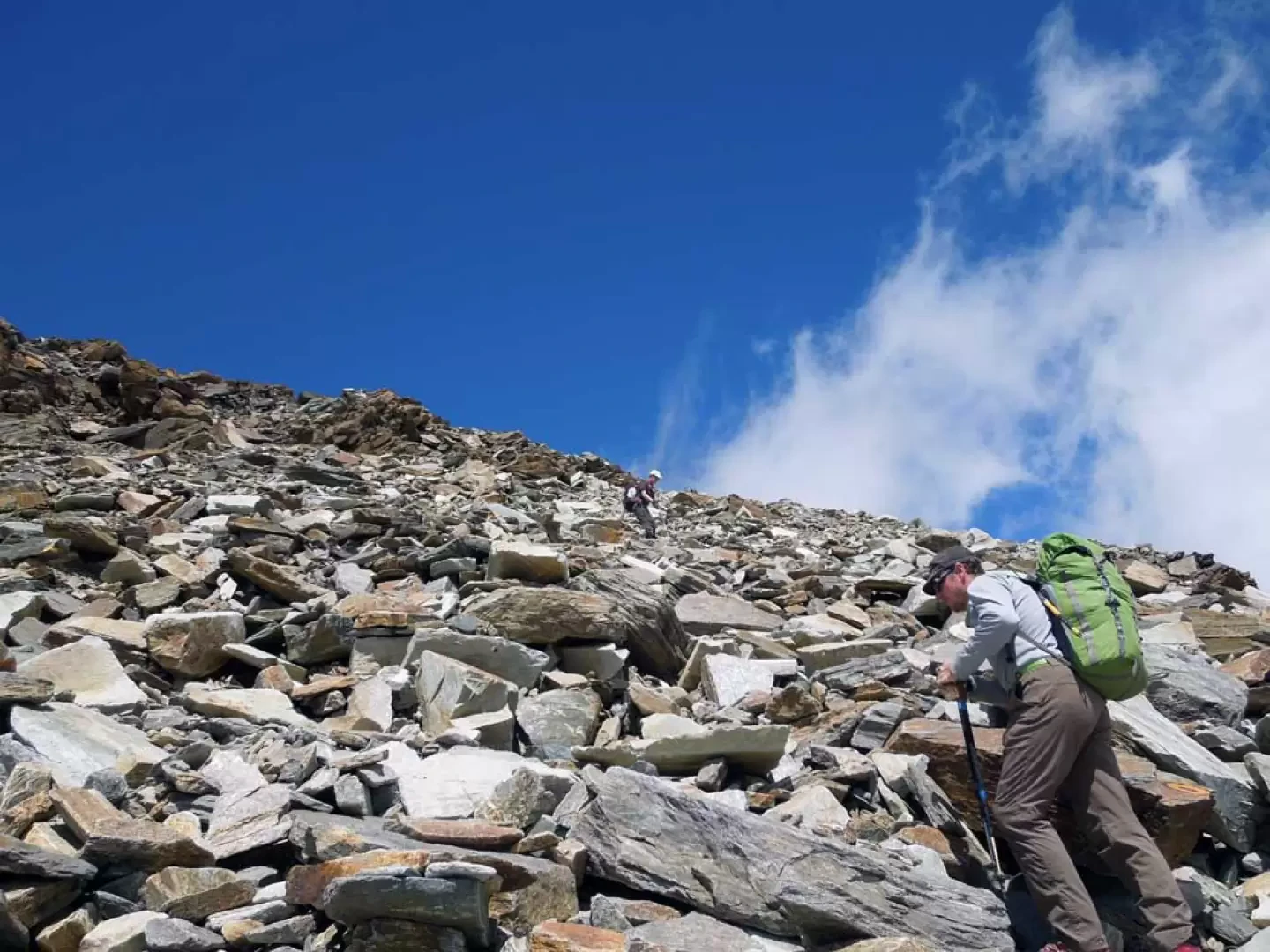
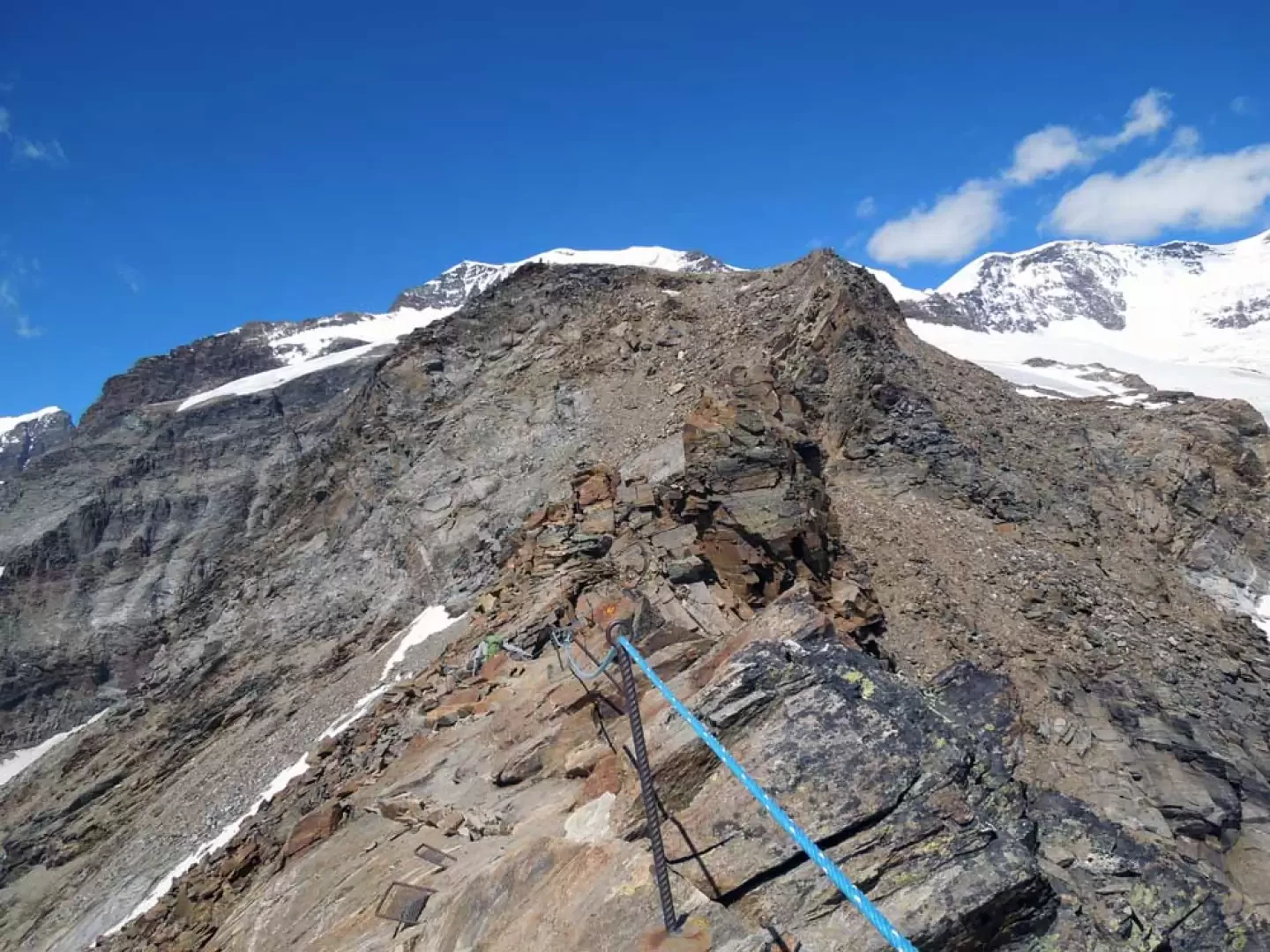
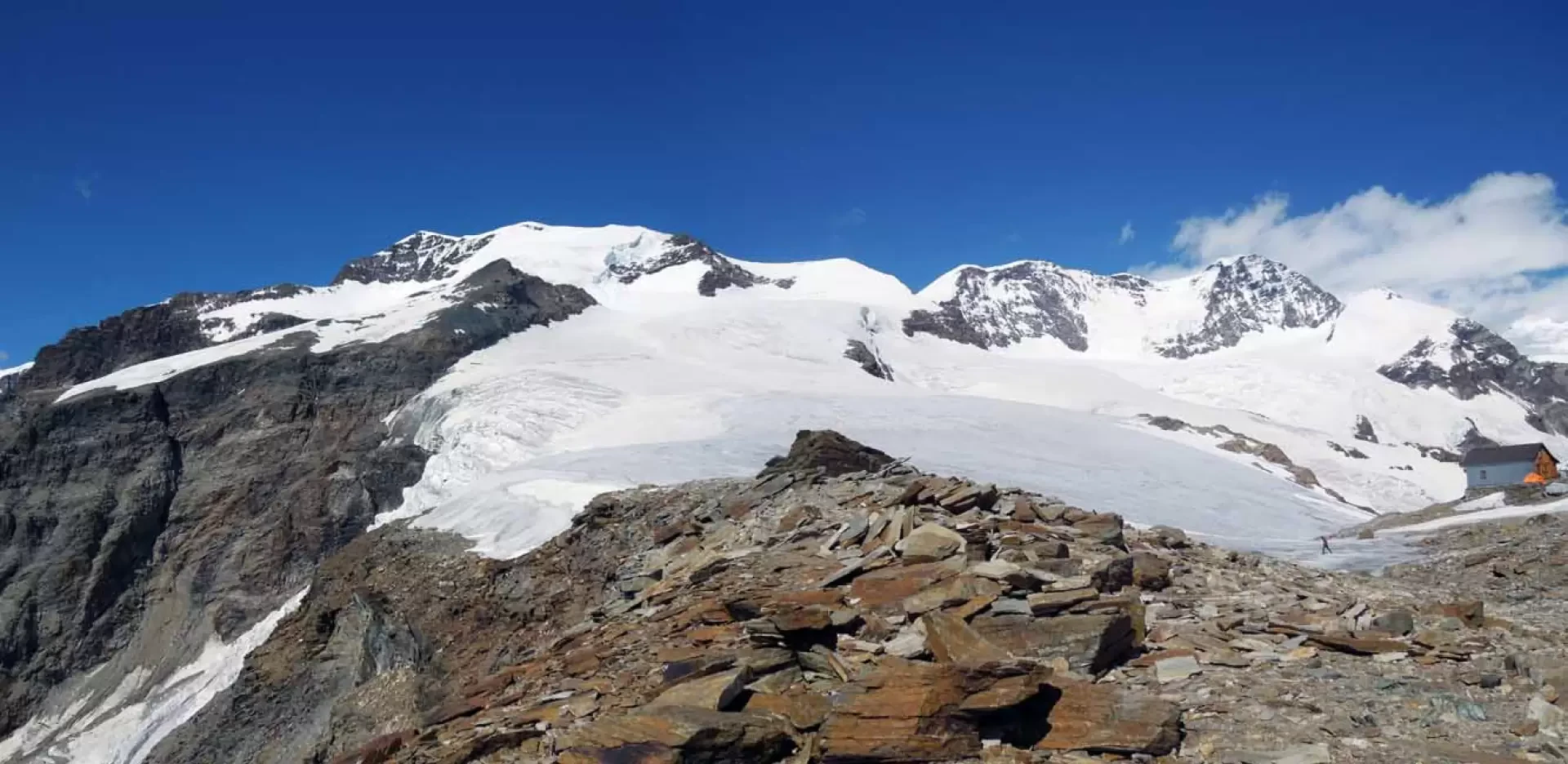
From the arrival of the chairlift, walk to the right following the dirt road that shortly above becomes a path; surrounded by a small scree slope, the path climbs until it reaches a scree shoulder to the right of the ridge that descends from Punta Bettolina. Here the path flattens out temporarily and then climbs up the side of the mountain and, having passed the lower Bettolina pass (2,916 m) from where a path descends to the right, it continues towards a low slope of broken boulders, at the end of which the panorama opens up towards the Breithorn area. Losing slope, cross a scree slope heading towards a rocky ridge at the base of which is the Upper Bettolina Pass (3101 m), where a path descends to the left, which is ignored; continue to the right of the ridge, walking among shifting stones first at its base and then rising and continuing along the same type of terrain. After a short distance, the path rises steeply, gaining height with the ascent of a short section equipped with metal steps. Once this section has been overcome, climb laboriously on large blocks to reach the ridge above, from which the panorama opens up magnificently; following the ridge, still on large stone blocks, we arrive at the beginning of the section equipped with fixed ropes that will accompany us to the Quintino Sella hut. At first, we cross a small exposed ridge and then, proceeding with due care, we climb over a rocky point from which we descend briefly and arrive at a small wooden bridge; after this we pass some sloping rocks and, moving to the right of the ridge, we continue the ascent with an exposed traverse. Once you reach the rocky ridge again, walk along it, always with the help of the ropes, until you reach the nearby hut located on the debris plateau at the top.
Second day
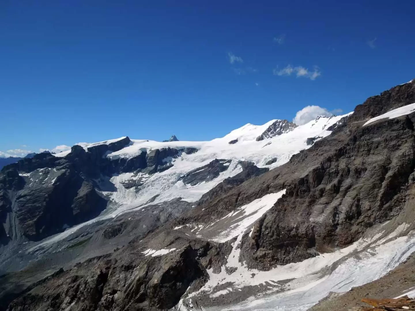
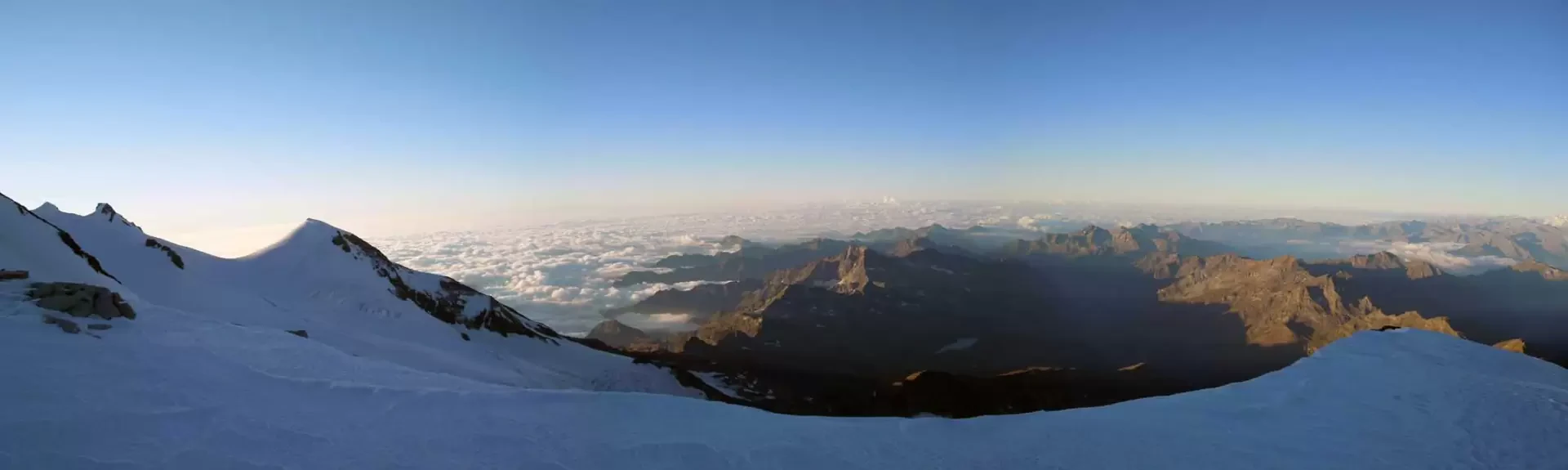
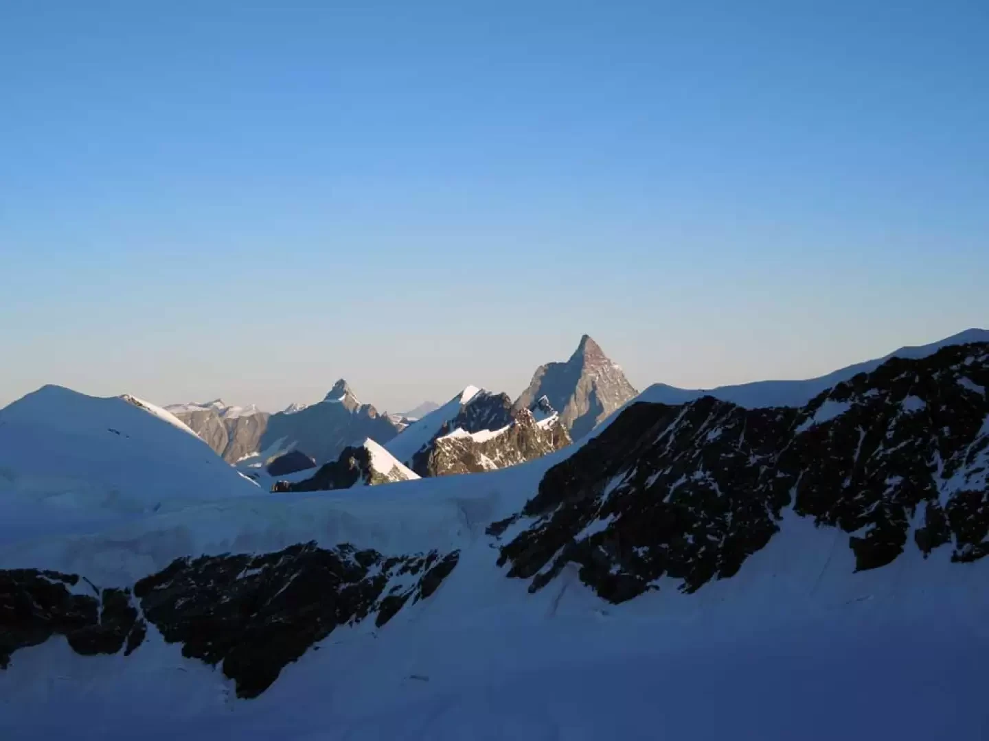
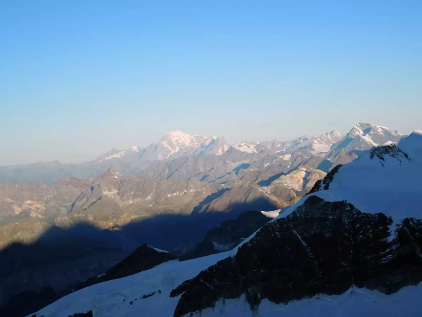
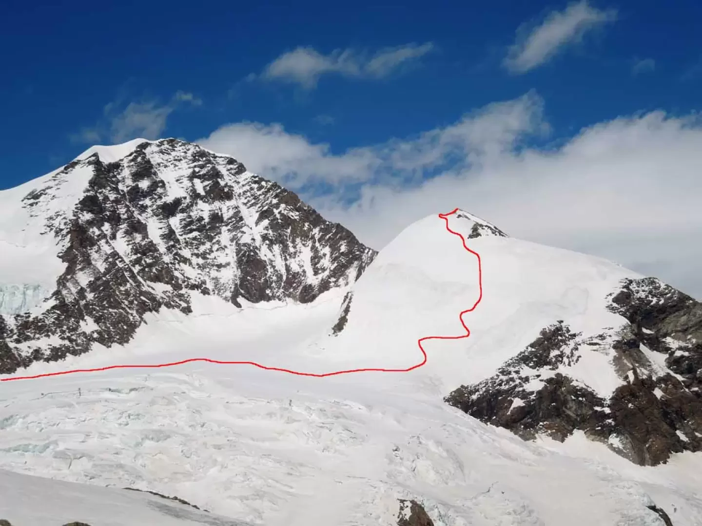
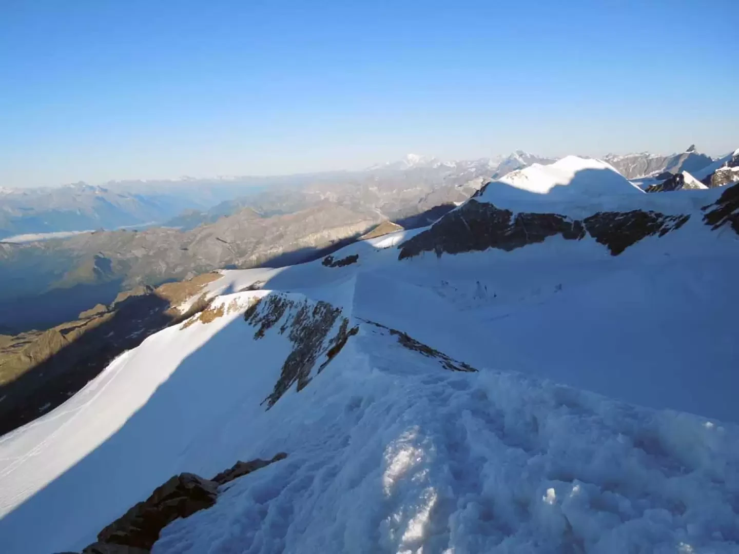
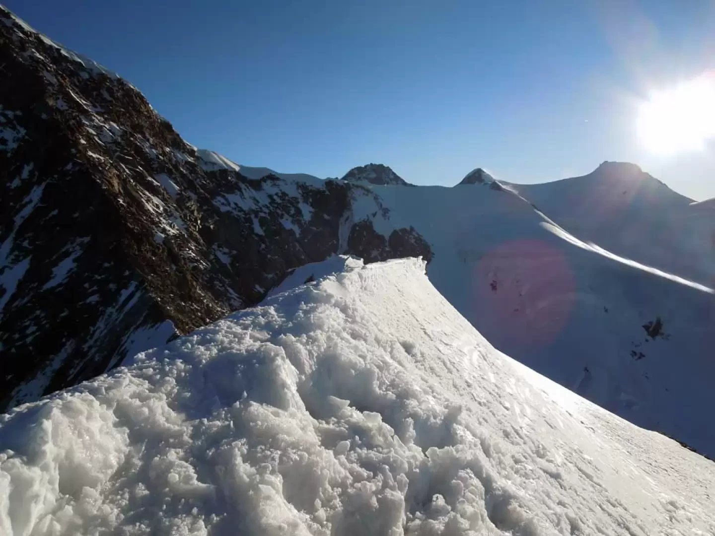
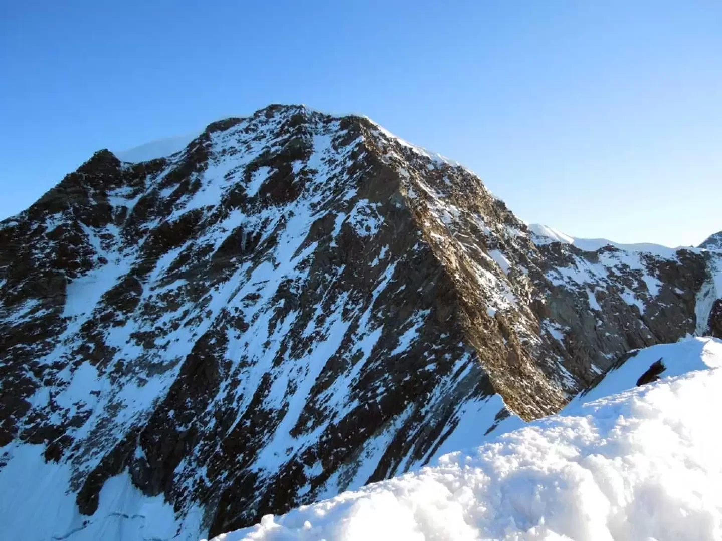
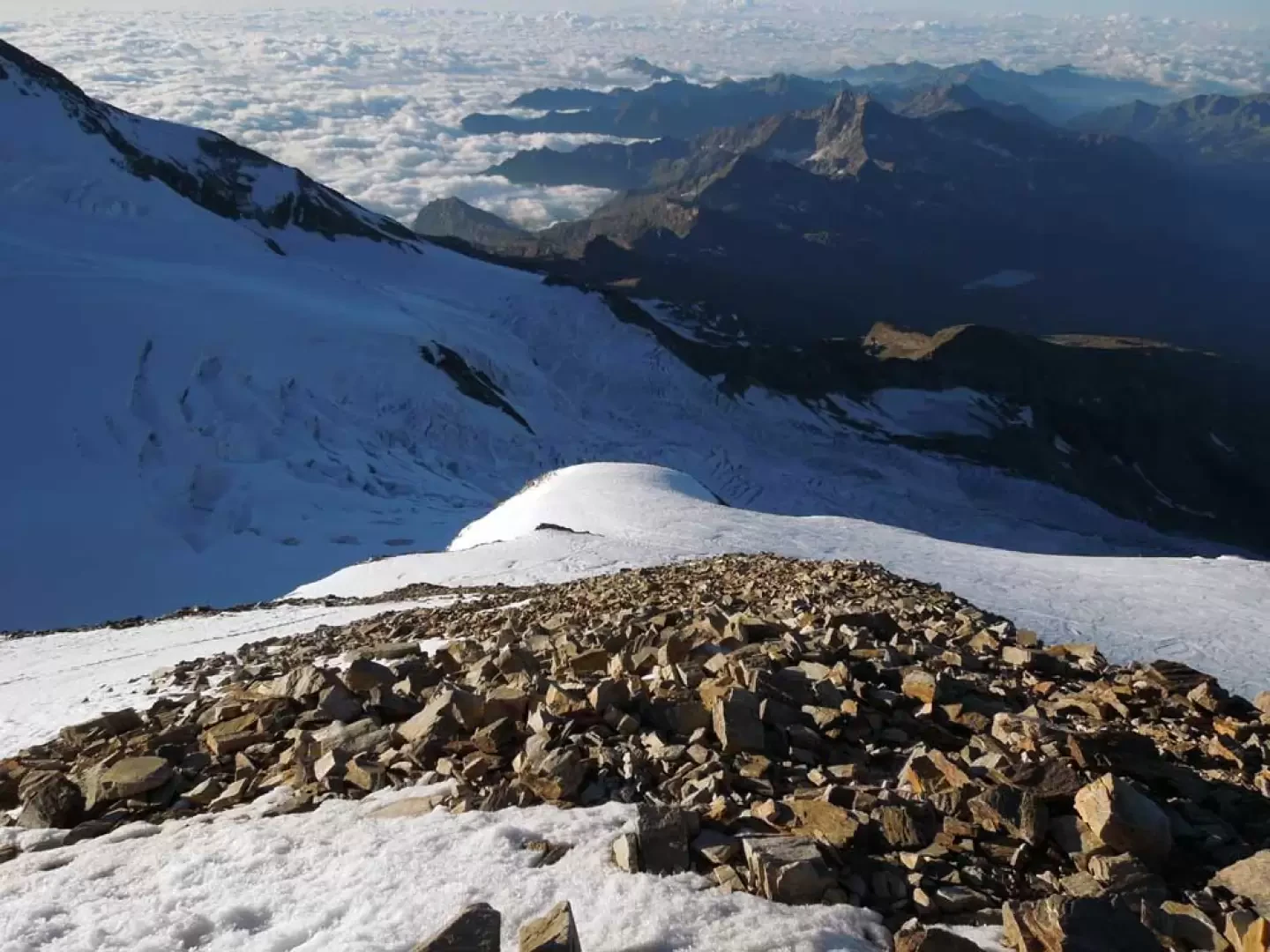
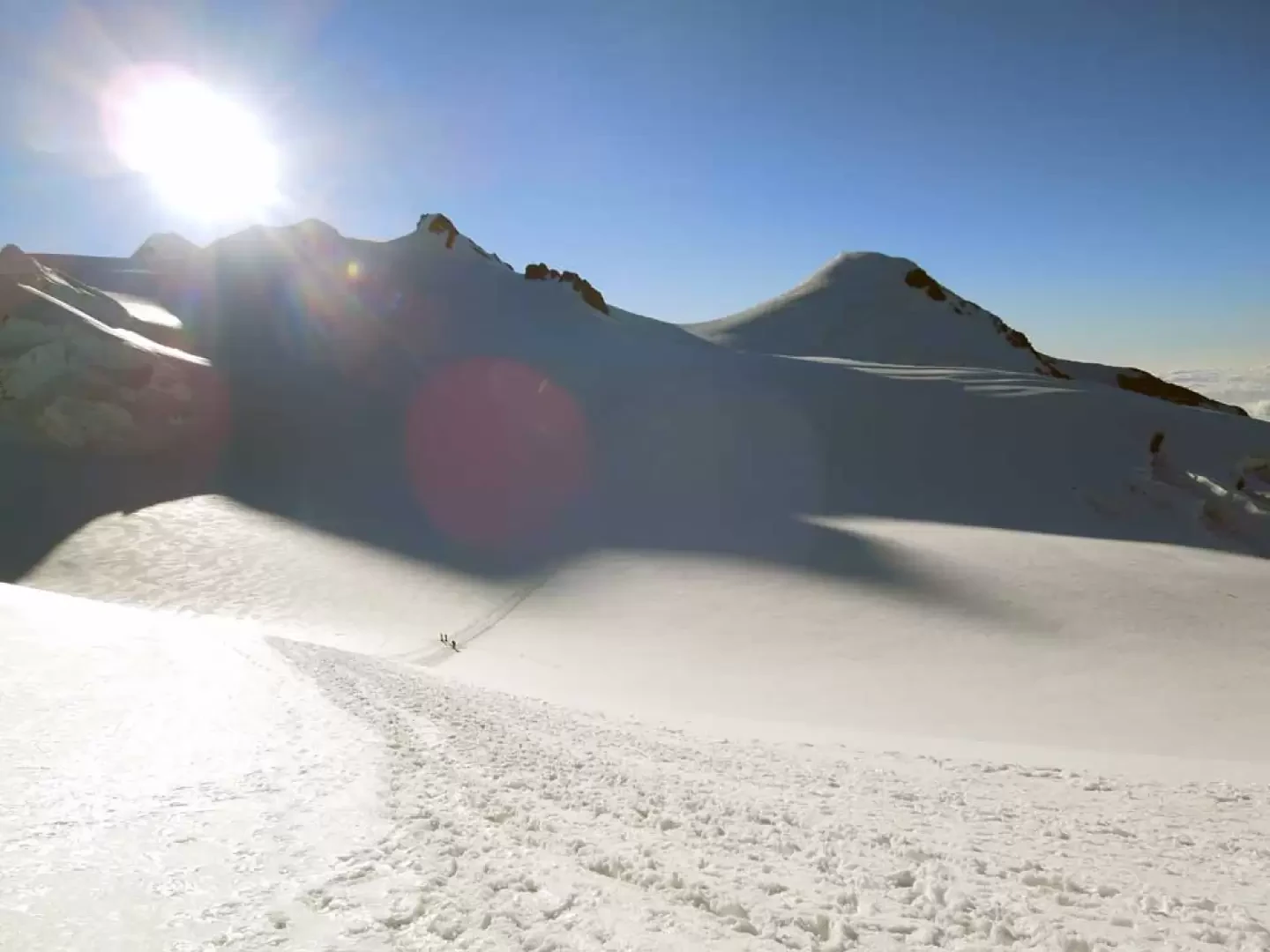
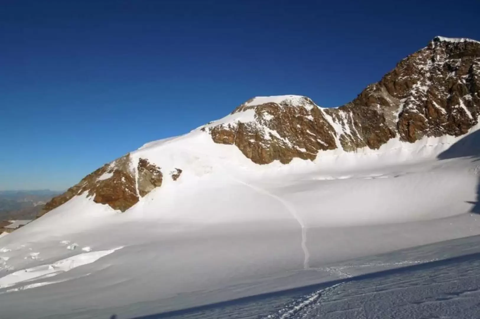
From the back of the hut, follow the evident track for a few dozen metres that climbs northwards on the Felik glacier and then, before reaching a large exposed rock to the left of a large serac, turn right and slightly lose altitude, setting foot on the Perazzi glacier. Remaining at a safe distance from the seracs on the left, cross the glacial basin by ascending, on the opposite side, a ridge of the glacier below the rocky spur that descends from the Felik pass; Having reached its culminating point, the vast basin of the highest part of the right branch of the Lys glacier opens up before us, and here too we descend, remaining a little high on the left, passing above large seracs and at a fair distance from the rocky part of the ridge that culminates with the summit of the western Lyskamm. Climbing, but without going too far towards the bottom of the glacial amphitheatre, we deviate to the right, at an altitude of around 3900 m, with a slightly upward path heading towards the Naso del Lyskamm and, more precisely, towards the steep slope to the right of the ridge that descends in front of us. When you reach the base of the latter, begin its ascent, first with a few hairpin bends, moving slightly to the right, and then ascend a steep section (40°/45°) of around 70 metres; when you reach the point where the slope decreases a little, keep to the right, reaching a comfortable shoulder where you turn sharply to the left towards a snowy ridge. Going along it, you deviate again slightly to the right towards the sharp and airy final ridge of ice and broken rocks that leads to the summit of the Naso, consisting of an equally airy and sharp snowy point (4291 m). A few metres before the summit, descend to the right towards a snowy canopy on an icy slope where, a little further down, you pass a couple of bands of broken rocks; without reaching the canopy, turn left towards a steep slope and, cutting across it with a traverse that can be tricky in the presence of live ice, you arrive at the bottom of the left branch of the Lys glacier. From this point, ascend the short slope on the opposite side in the direction of the clearly visible Vincent Pyramid and continue walking along an almost level path until you cross the track that leads to the Lys pass. From here, turn sharply to the right and begin the descent, passing between some crevasses, which become more numerous in the lower part, and arrive at the height of the Gnifetti hut. Leaving the track to the right that leads to the rocky spur where the hut is located, continue the descent on the slope, gradually keeping to the left and aiming for the lower part of the ridge of broken rocks; above this, just before a small cross, there is a small gully (3512 m) where there are some canapons that facilitate the descent. After this steep section, you arrive at the lower part of the slightly sloping Indren glacier, which you skirt in a wide semicircle on a slight descent, reaching the broken rocks above the arrival point of the cable car, which you soon reach and, by taking two other lifts, you reach the car park.
General Information
Path:normal
Signposts: -
Type of route: traverse
Recommended period: June,July,August
Objective Danger: crevasses and seracs
Exposure to sunlightWest
Exposed sections:steep ascent slope, final ridge
Maximum slope:45°
Equipment:rope, ice axe, crampons, ice screws
Water: Refuge Quintino Sella at Felik
.
Galleria fotografica