Visey dessus, from Issogne


Edited by:
Massimo Martini
Updated at: 04/05/2025
Access
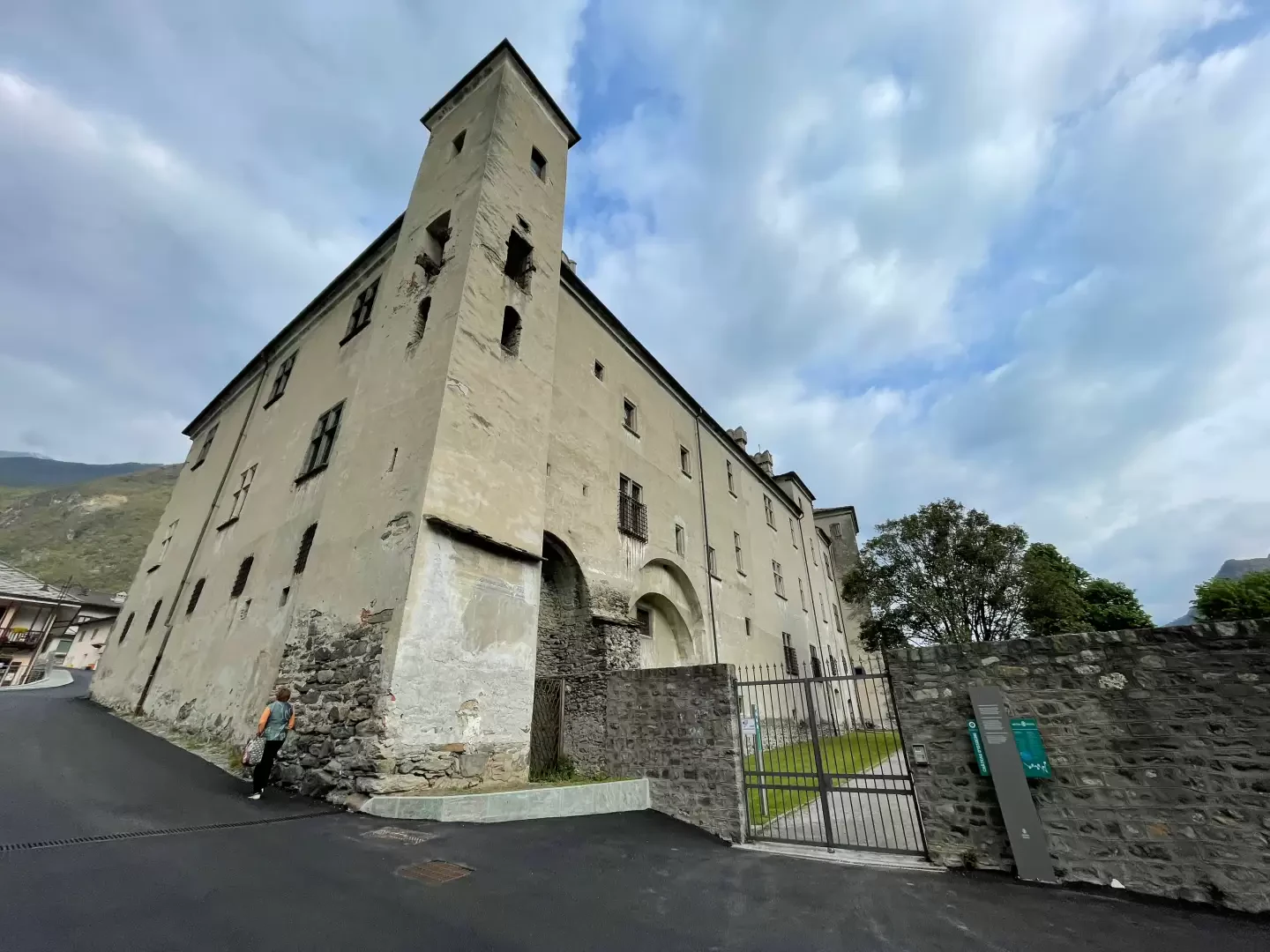
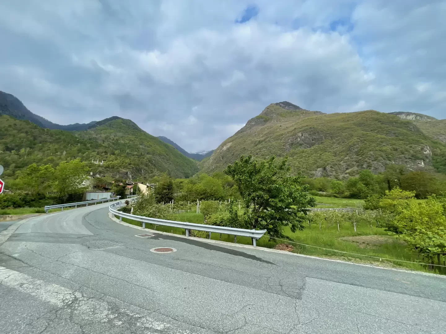
Leaving the motorway at the Verrès tollgate, take the in the direction of Turin. Drive through the town of Verrès until you reach the second roundabout, turn right at the first exit and continue in the direction of Issogne. Follow the regional road for about 800m before reaching Issogne Castle: turn right and park in the convenient car park in front.
How to get there with GMaps
How to get there with Apple Maps
Introduction
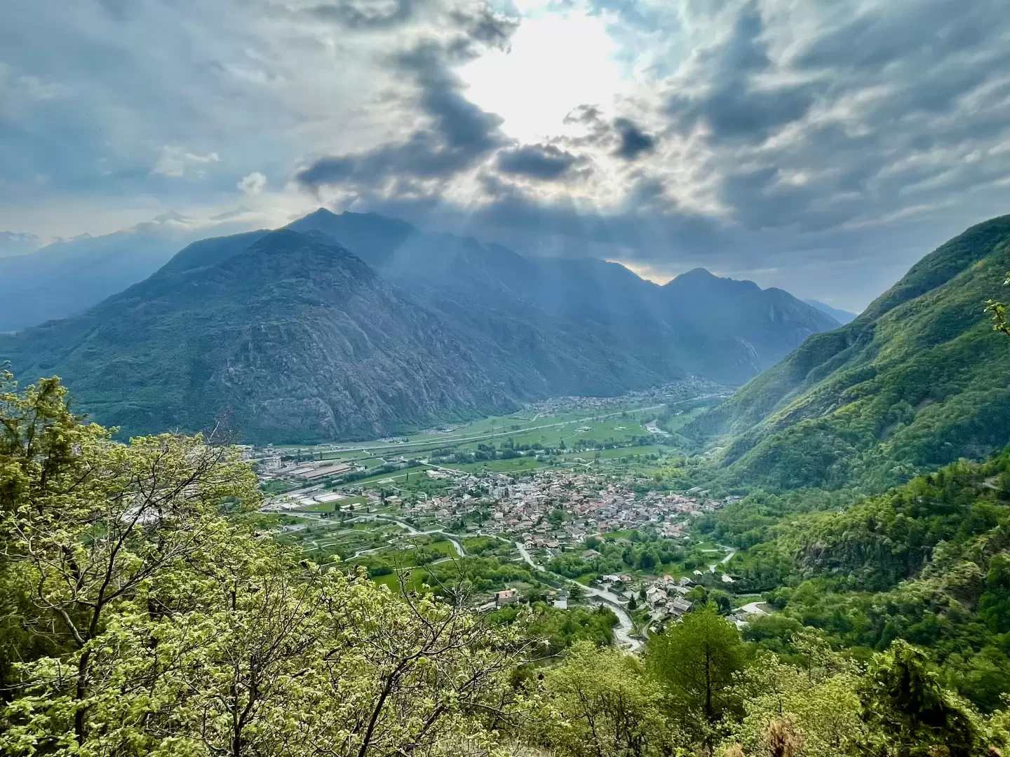
The municipality of Issogne has recently started a reorganisation of the ancient path network included in its territory, making new interesting itineraries accessible, such as the one described in this report. The villages of Visey are in fact connected to the municipal capital by this path that climbs the Boccoul valley, keeping at a higher altitude than the gritty stretch near the stream of the same name. The orographic left slope is fairly steep in some sections and the path crosses some rocky slabs, the crossing of which is made easier thanks to the presence of iron steps and support ropes. All in all, this trail allows you to fully appreciate that more intimate and little-visited part of Valle d'Aosta that is much appreciated by a certain number of hikers.
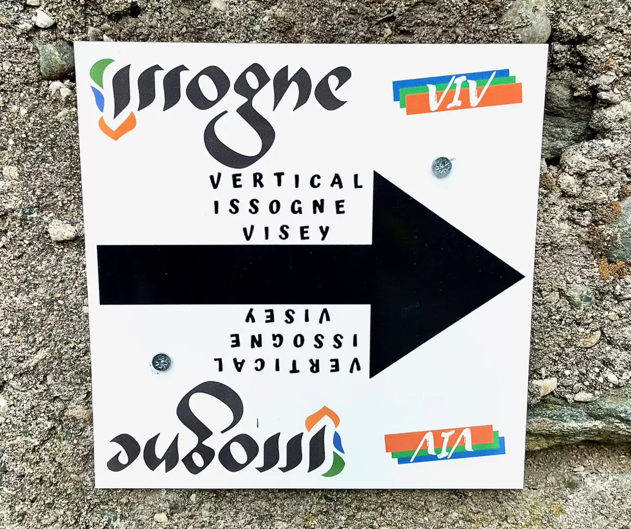
In 2022, the route was used for the Vertical Issogne Visey (VIV) race: 1000m of positive height difference was overcome by the first winner, Dennis Brunod, in 43 minutes.
Description
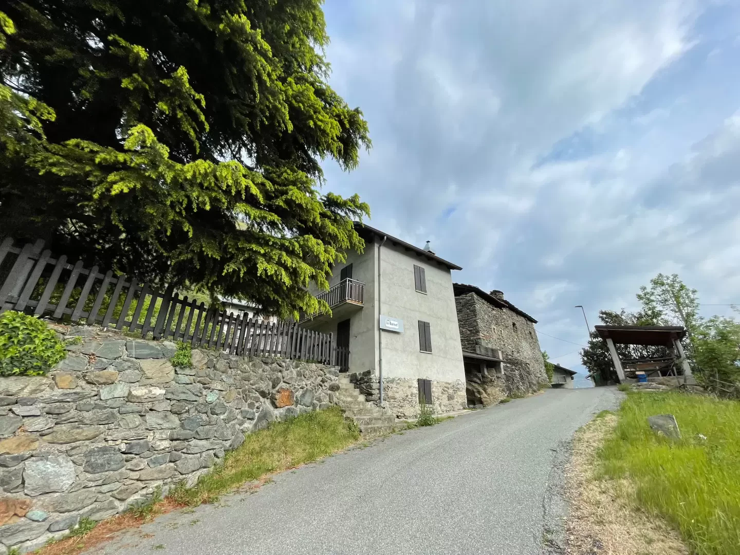
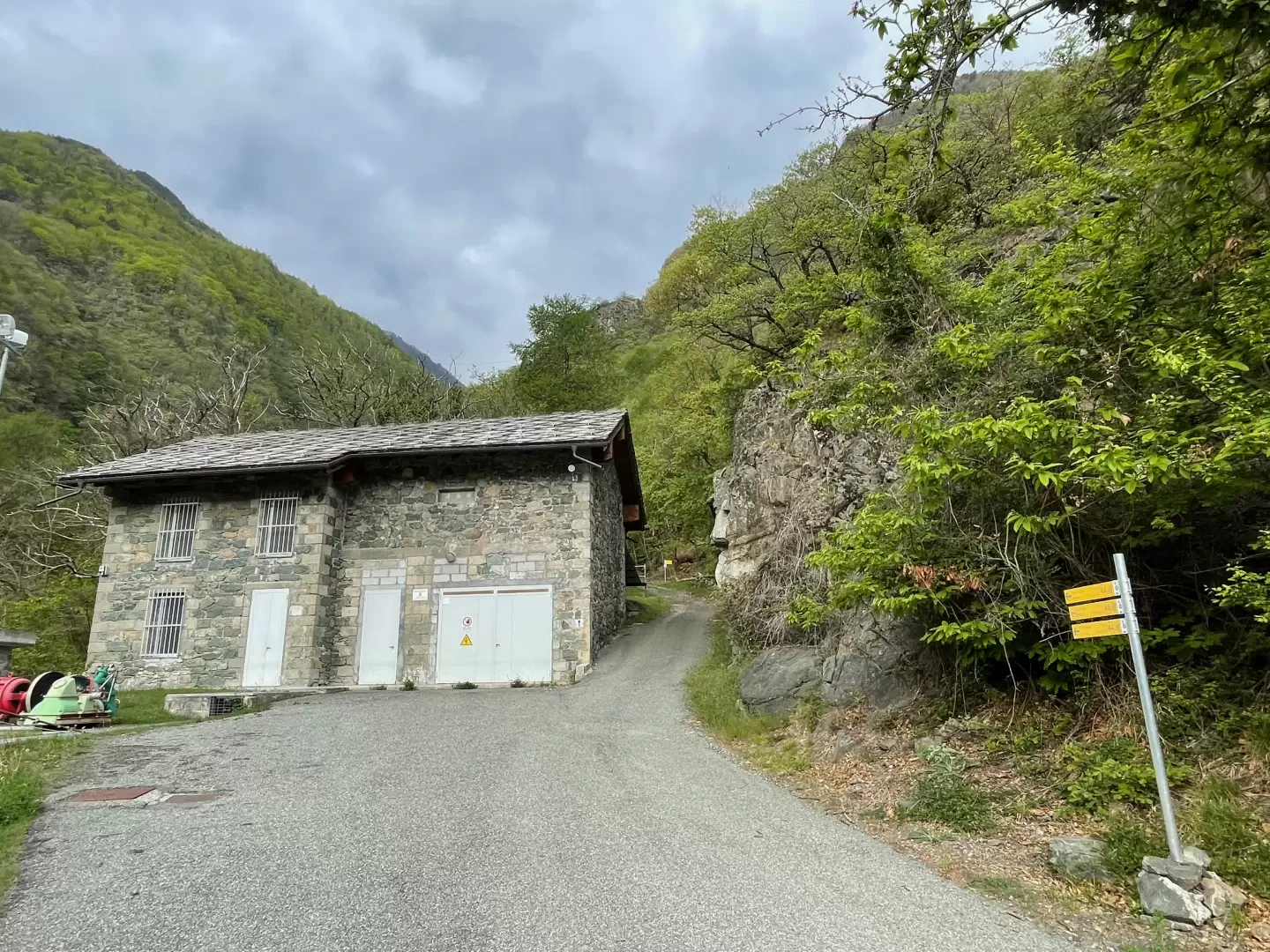
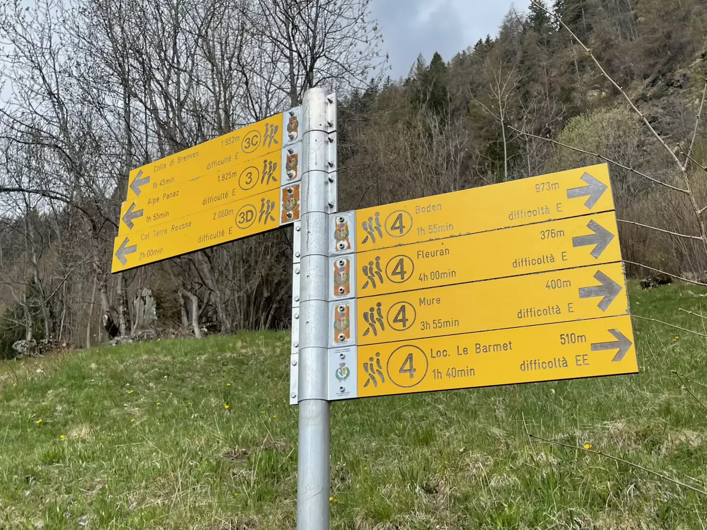
0h00' From the car park, take the road that runs alongside the castle and climb up the hamlet in the direction of Ronchaille until you come to the road sign for Hameau Les Genot. Turn right through the hamlet before reaching the municipal road leading to the upper hamlets of Issogne (Sommet de Ville and Le Barmet). Follow the road for about 300m before coming to a small bridge signposted for the village of Le Barmet: turn right, pass through the hamlet and follow the road until you reach the Sommet de Ville power station and the signpost indicating the start of the path to Visey dessus.
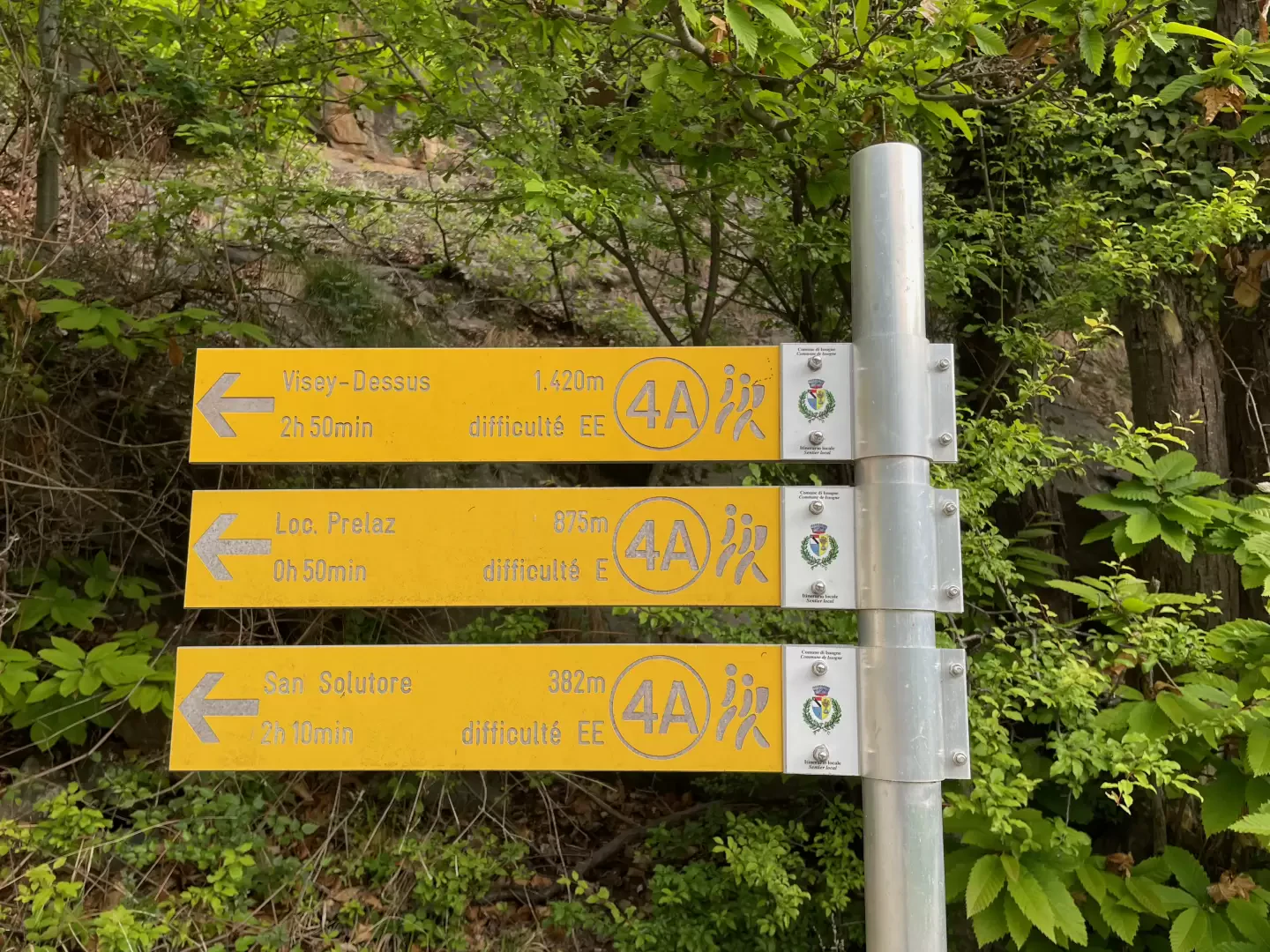
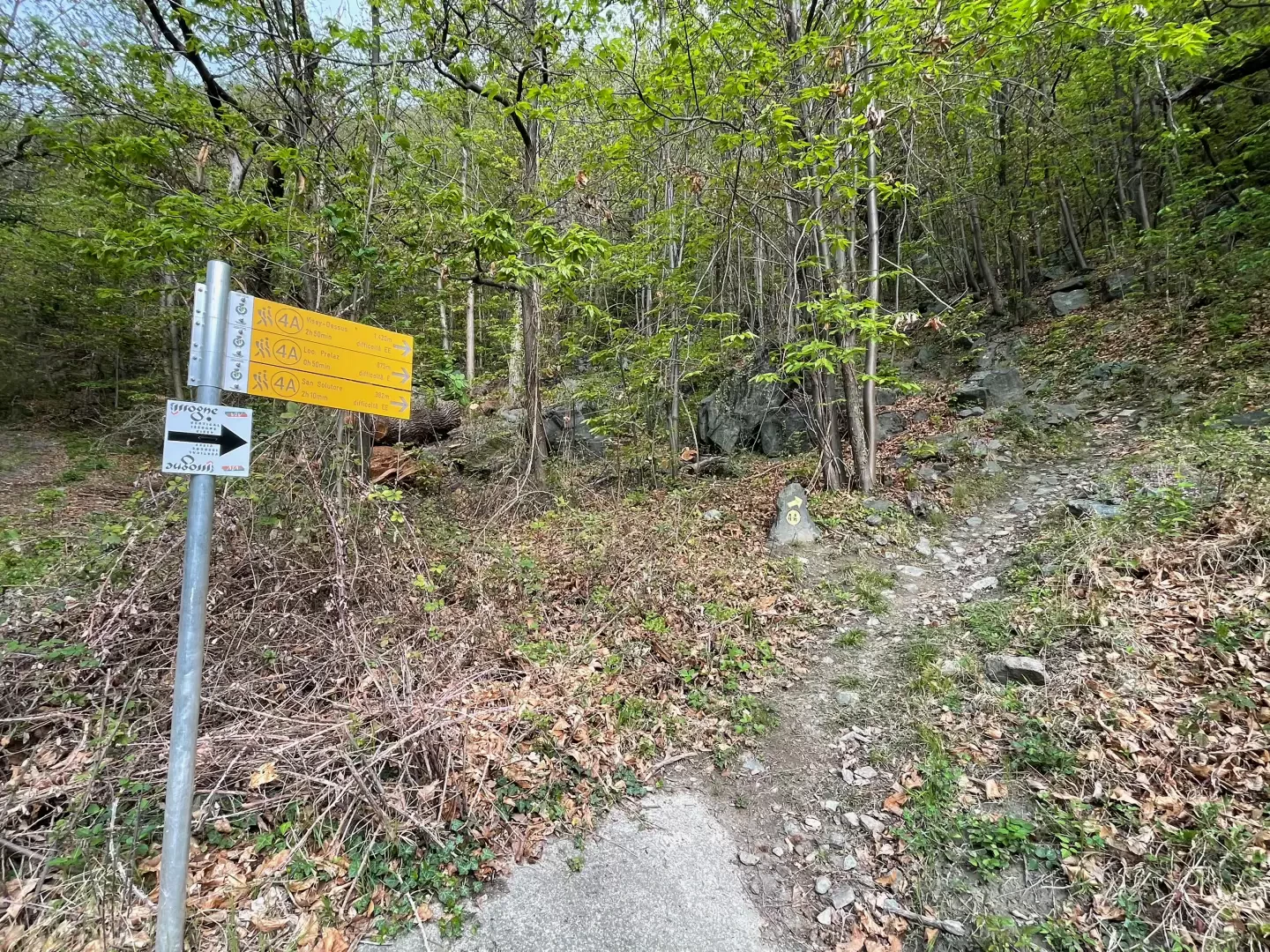
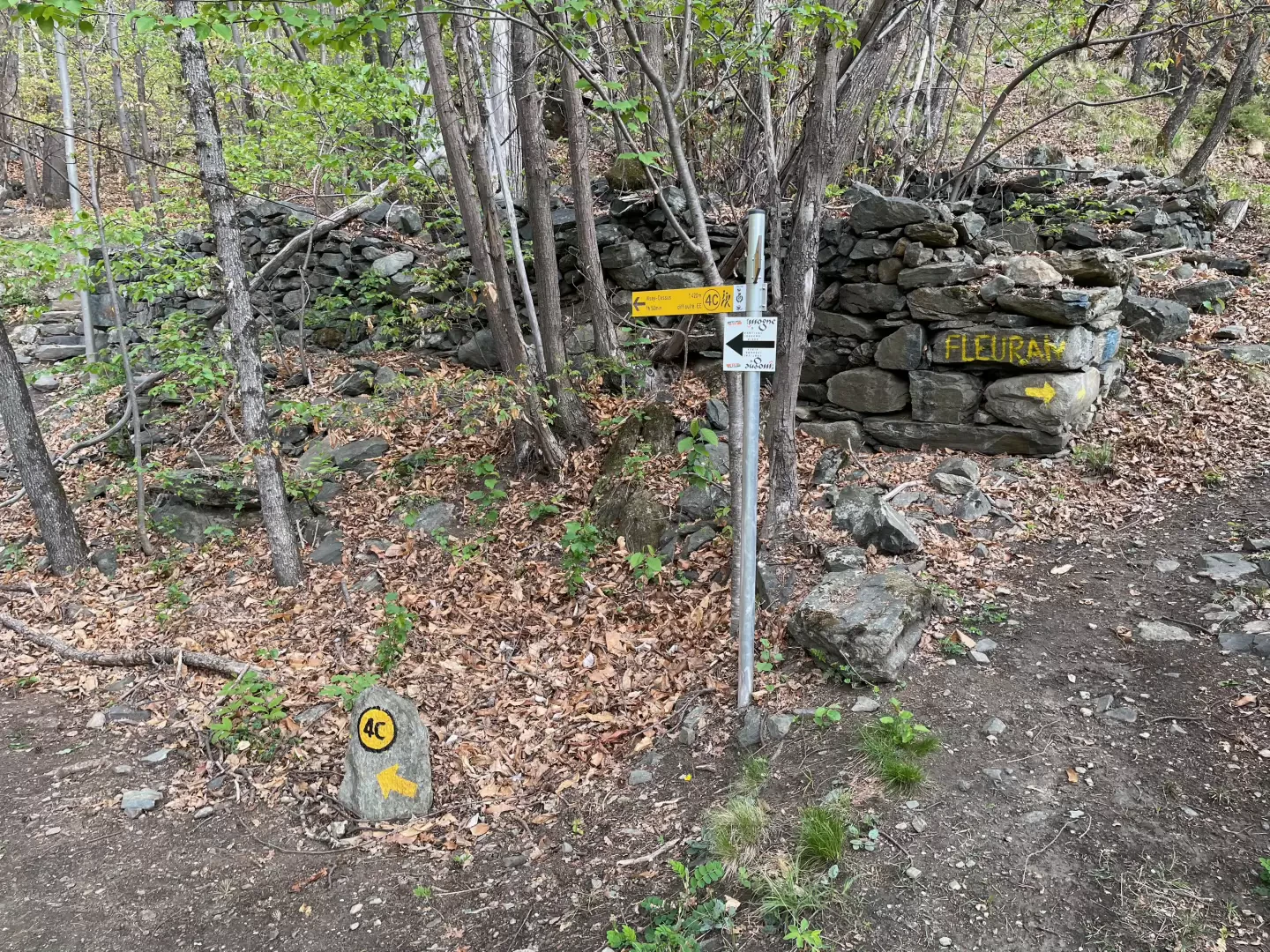
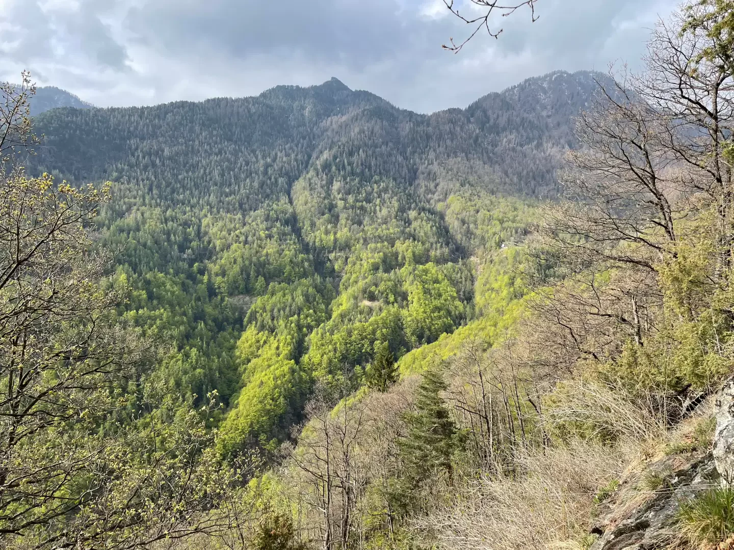
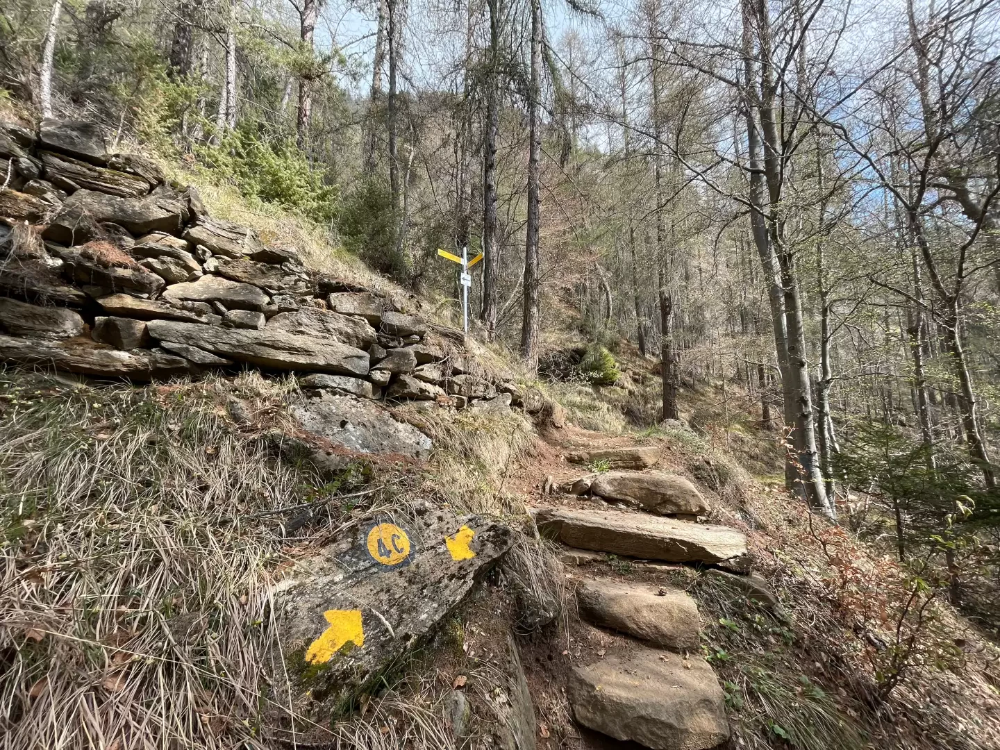
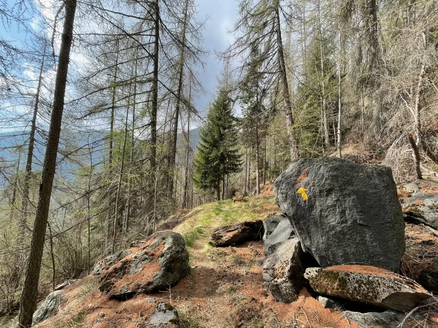
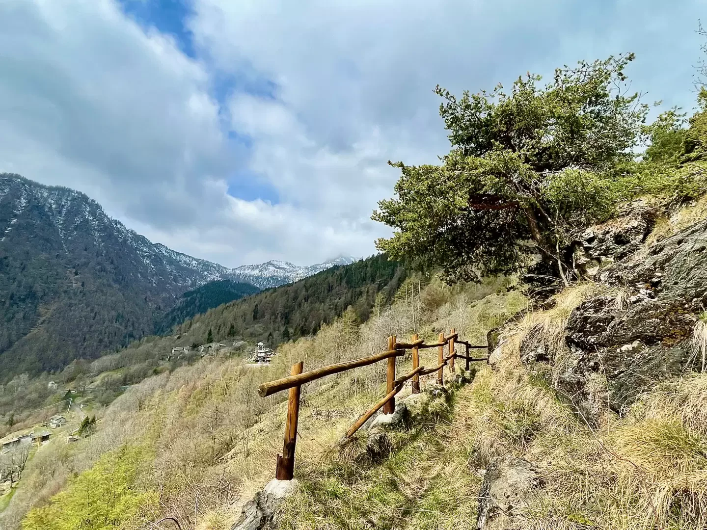
0h25' Take the path and after a few dozen metres a new marker signposts you to continue on the right. Immersed in the predominantly downy oak forest (Quercus pubescens), go up the left orographic slope of the Vallone del Boccoul on the easy path that has recently been restored. Having reached the edge of a rocky slope, the path crosses a short stretch of stone steps before reaching the first panoramic hillock, from which there is a fine view of the towns of Verrès and Issogne below. The forest thins out at times, allowing a glimpse of the right side of the valley with the distant watershed with the Champorcher Valley. Along the way, some Vertical VIV signposts and a few yellow arrows make it easier to find the route, which is always clear. After a final climb, you will reach the hamlet of Préle - Prelaz (863m) where you will come across a marker signposting the turnoff for Fleuran .
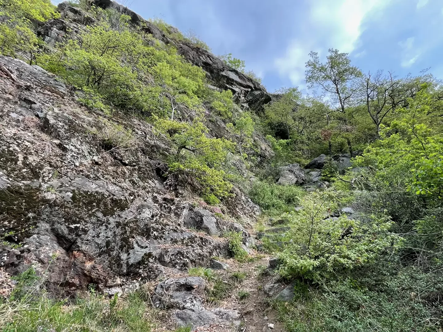
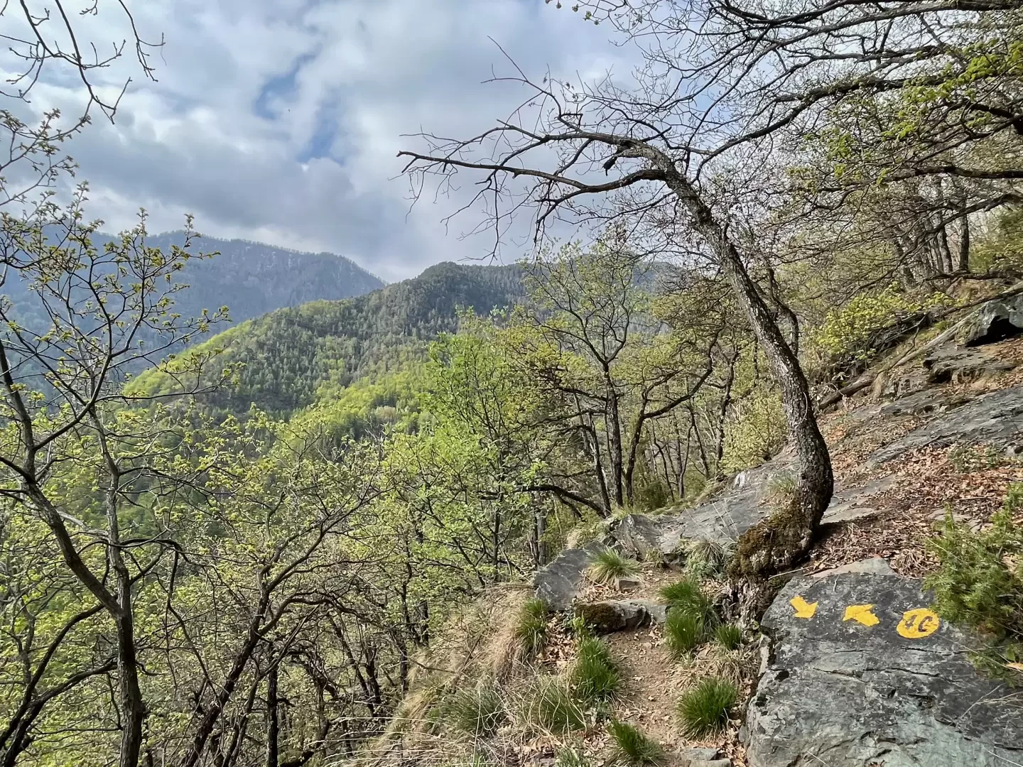
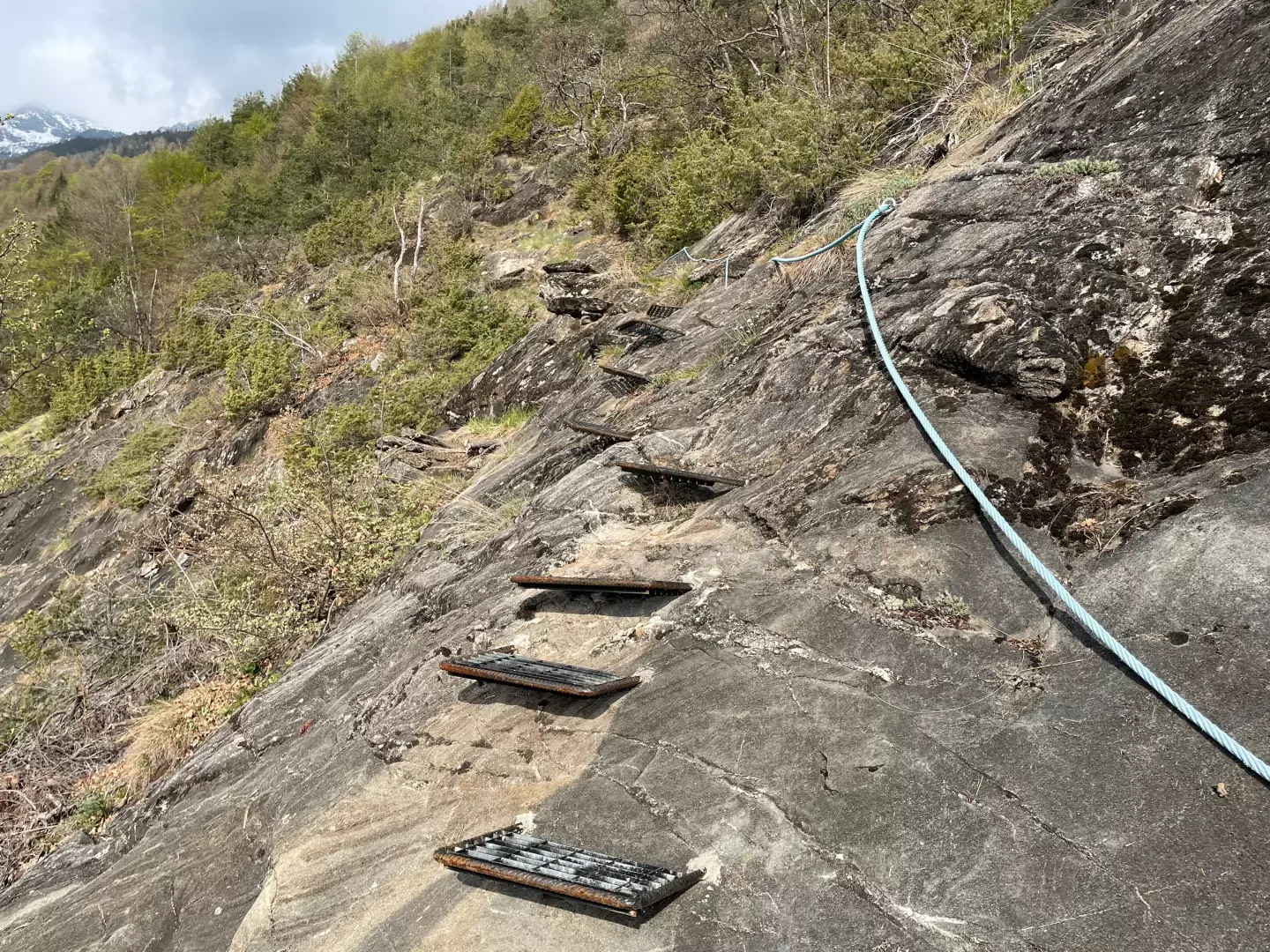
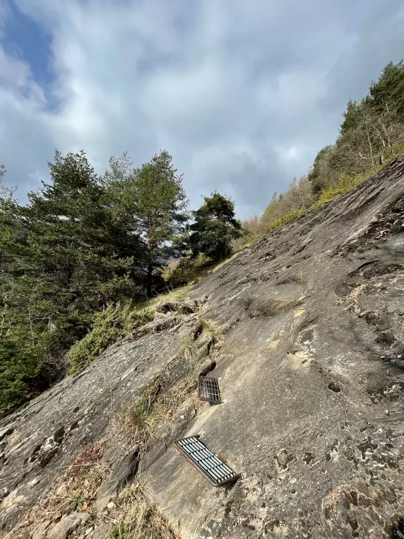
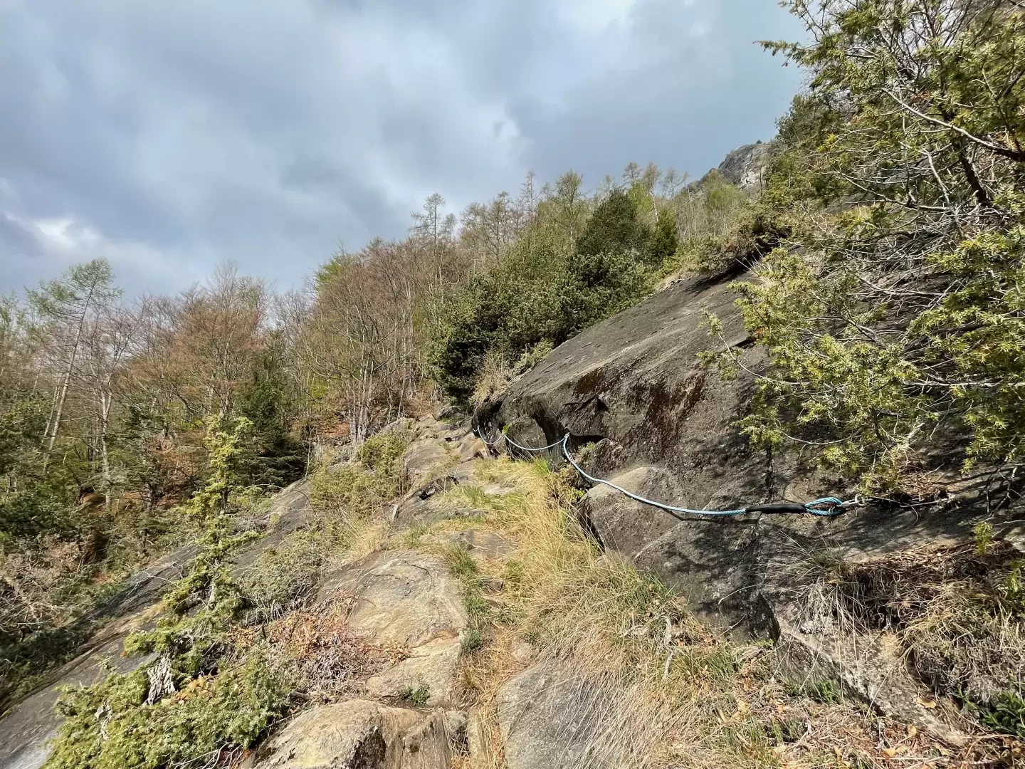
1h15' Turn left and continue along the path for Visey dessus. The path now proceeds at a moderate gradient halfway up the side of the gorge; the downy oak gives way to beech (Fagus sylvatica) interspersed with a few stones. After a few wooden steps, we leave the beech forest and encounter a first equipped section consisting of a few iron steps accompanied by the classic blue support rope to cross a rocky slab in case of dampness or ice ⚠️. You now enter the pine forest and, shortly afterwards, cross a second sloping slab, again with the aid of iron steps, and in succession meet a second blue support rope in a slightly exposed section ⚠️. After leaving the last iron steps ⚠️ you re-enter the wood and, after a few turns, you reach a marker post announcing the junction of path with path coming from Chantery.
2h50' Turn left and proceed on the wide path slightly uphill. After a few minutes you come out of the thicket and catch a glimpse of your final destination: Visey dessus. Continue briefly on the path bordered by wooden railings and you will soon reach the municipal access road to the village. Continue briefly along the road until you reach Visey dessus 💧 (1428m) 3h15' .
The descent is along the same route as on the way up 2h00' .
Riferimenti Bibliografici
- Camminare d'inverno - Enrico Sergio -
Photo gallery
Comments (0)
Sign in to leave a comment