Verale, from Albard de Donnas


Edited by:
Massimo Martini
Updated at: 04/05/2025
Access
Leaving the motorway at the Pont-Saint-Martin exit, turn left after 100 m and take the state road in the direction of Aosta. At the roundabout, take the second exit remaining on the main road , after 1.8km until you meet the signs for Albard, on the right-hand side of the road, at the height of the town hall. Take a narrow lane that climbs the slope, first between houses and then among the area's renowned vineyards. Turn right, following the road and then continue on the fork to the left, passing the village of Artada and, a little further on, a series of very narrow hairpin bends. Once you have gained height, you proceed to the left, skirting Chenail and, shortly afterwards, reaching Albard. You can leave your car in a small car park at the end of the carriage road, near a playground area: this is where the farm road begins.
[0h12'] - [5.9km]
How to get there with GMaps
How to get there with Apple Maps
The directions given here have been verified on the date of the survey of the route. Before setting off, it is advisable to make sure that there are no substantial changes in the access route to the starting point. Therefore, we recommend the use of the satellite navigation apps provided by Google or Apple for up-to-date and detailed directions.
Introduction
A pleasant hike, to be favoured in the spring period, on the heights of Donnas.
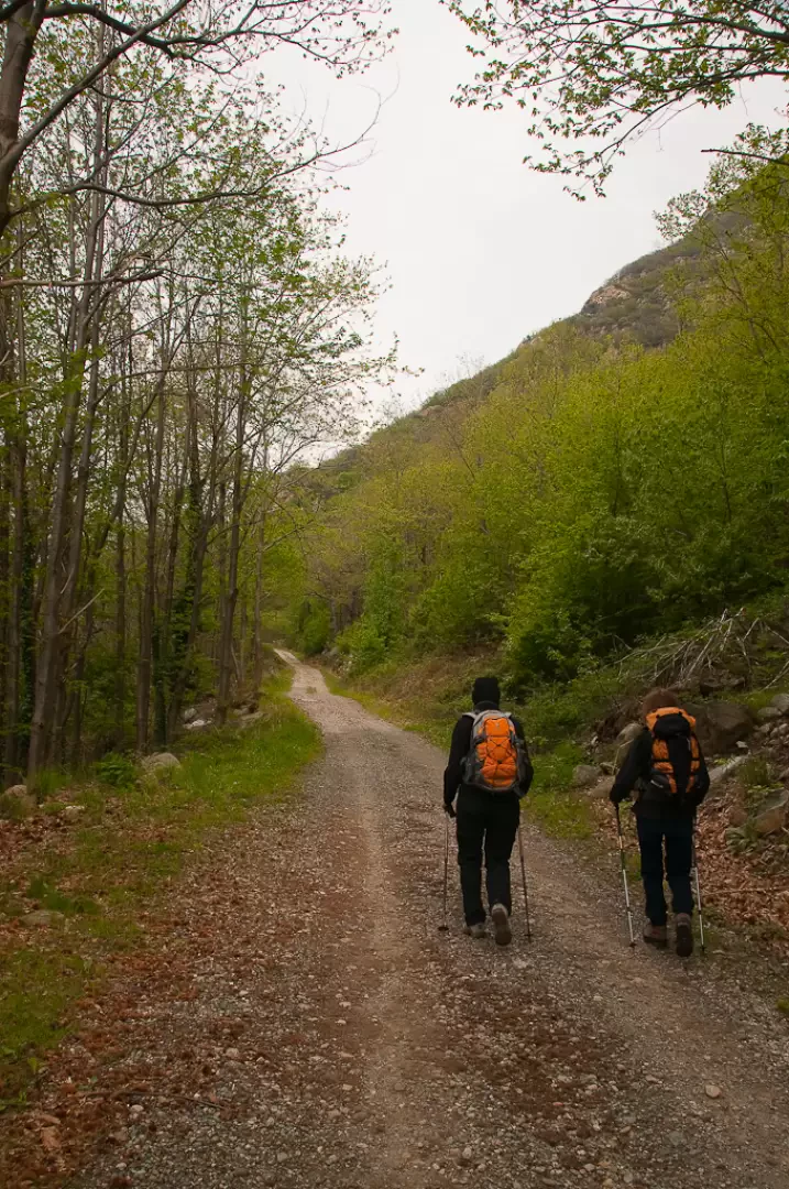
Description
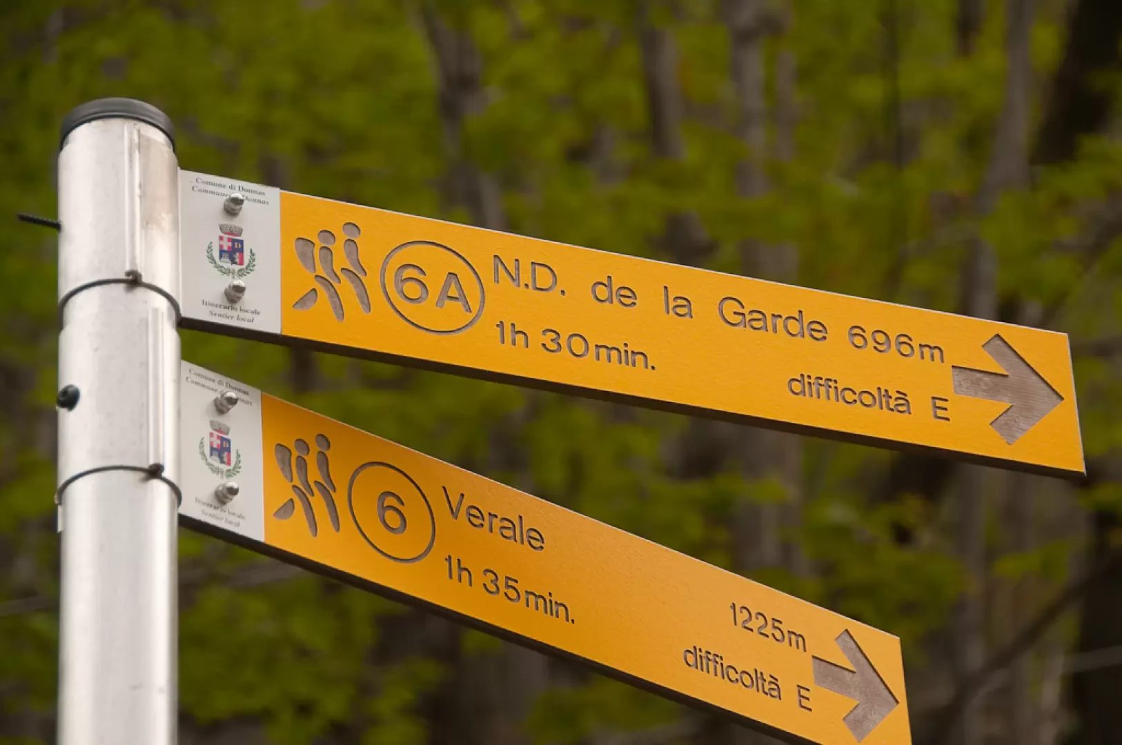
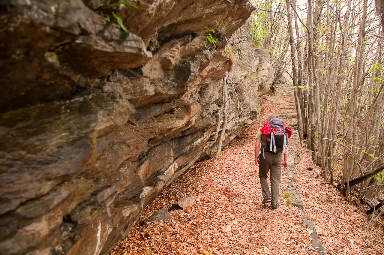
Leaving the car behind, proceed along the dirt road that enters the forest in a south-easterly direction. After a few minutes' walk, you reach a first hairpin bend to the left and retrace almost the same path until you reach the next hairpin bend to the right: just beyond this, you will come to a marker signposting the entrance to the mule track to Fenêtre de Cou (724m, 0h20') on the left.
Go up the steep mule track
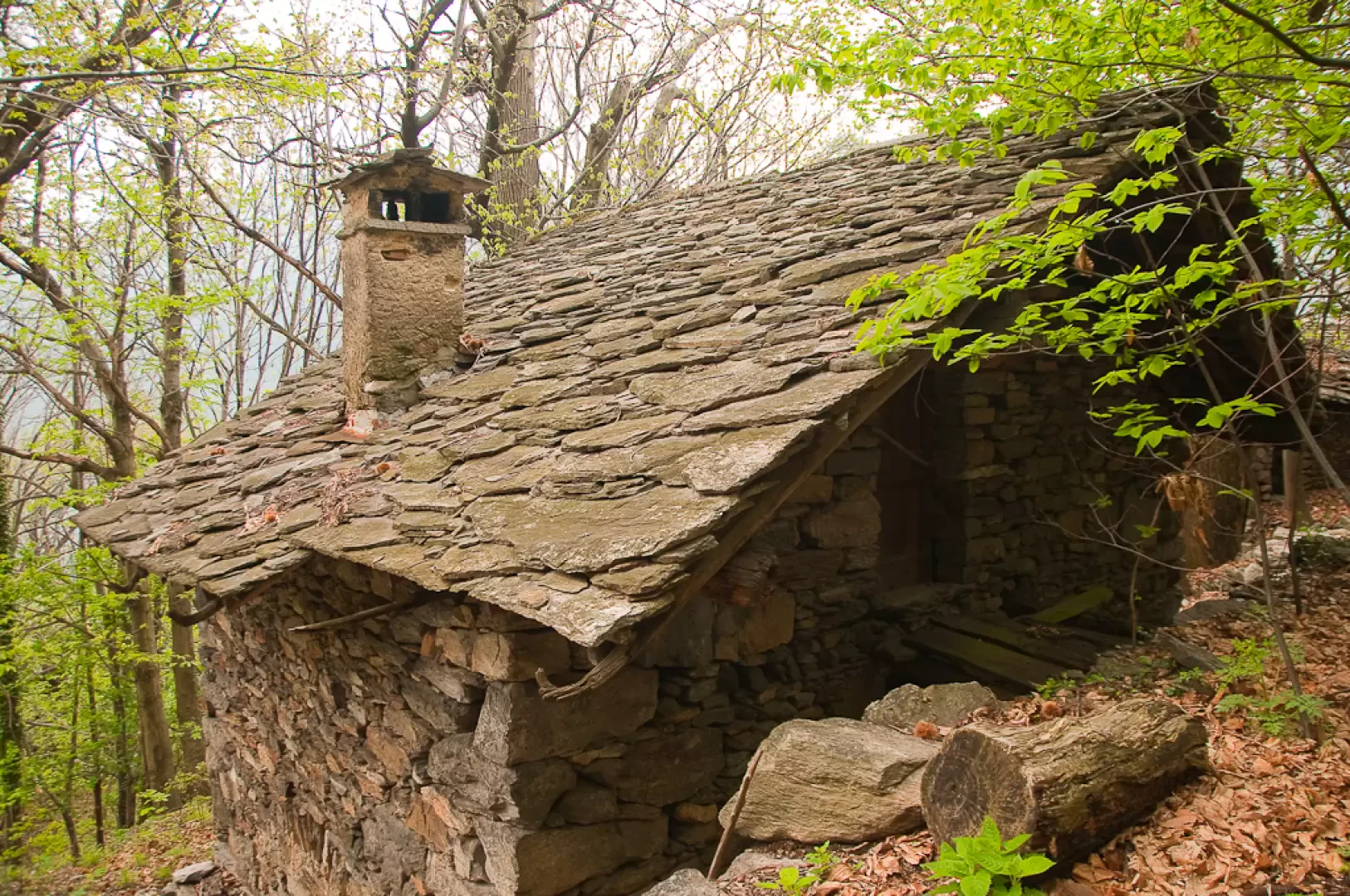
which soon flattens out slightly near a characteristic votive shrine. Continue through the beautiful chestnut forest until you reach the ruins of Fobe (817m, 0h35').
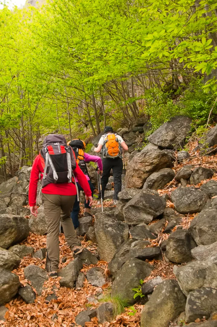
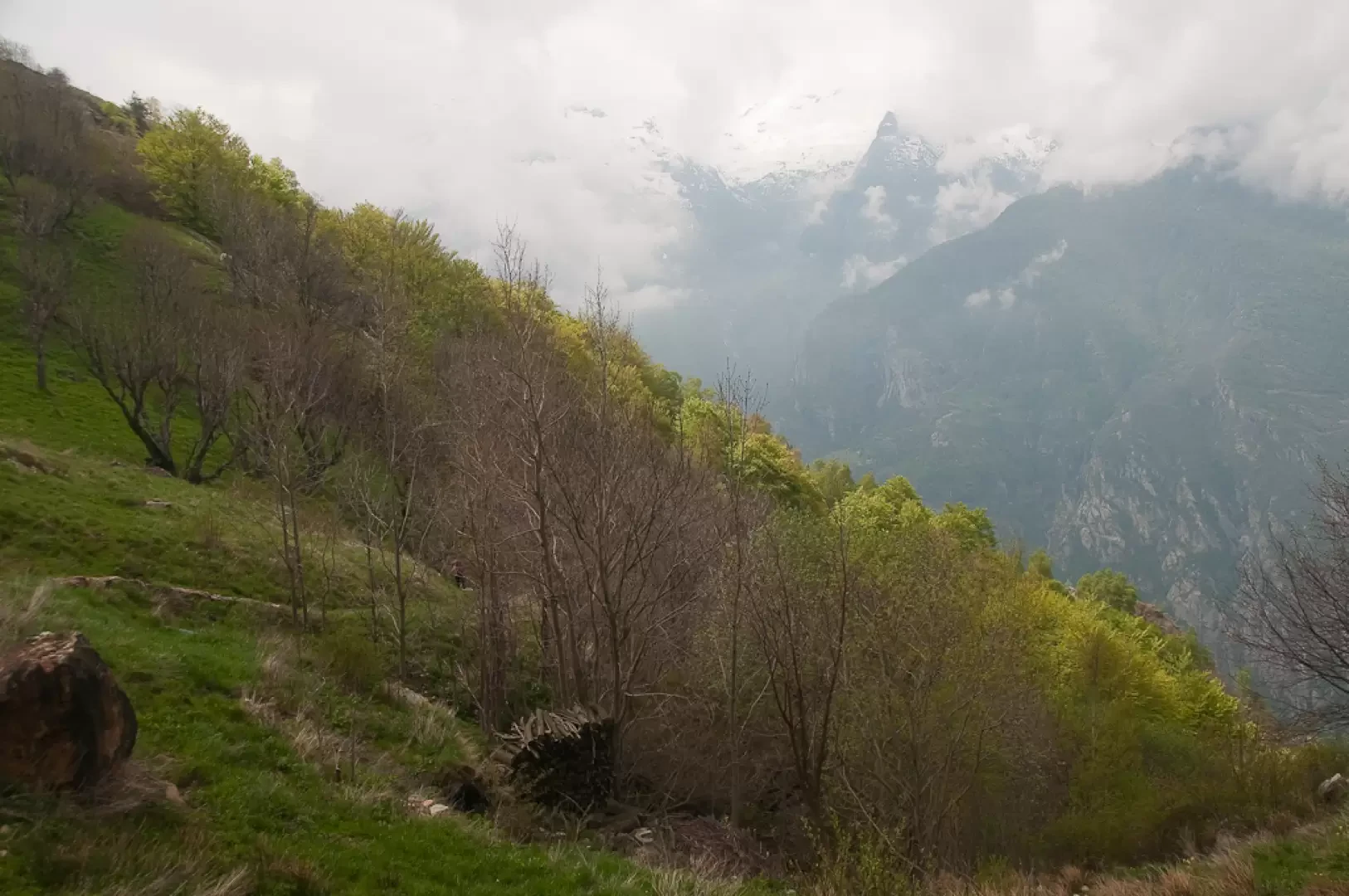
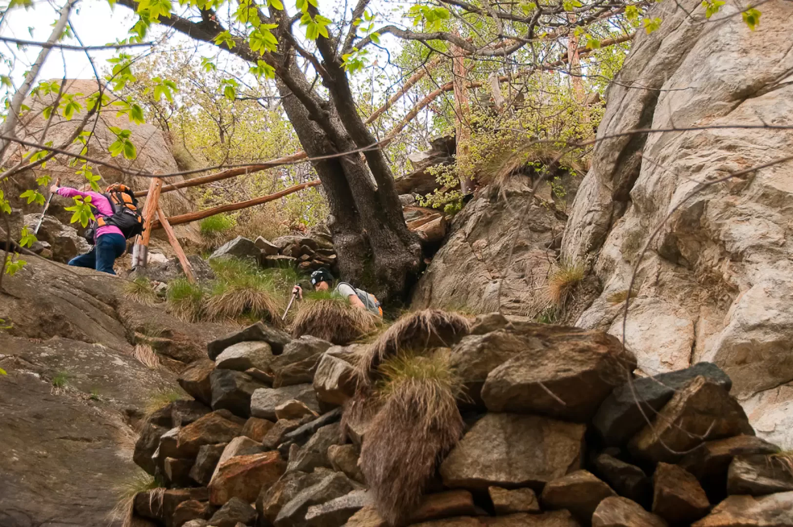
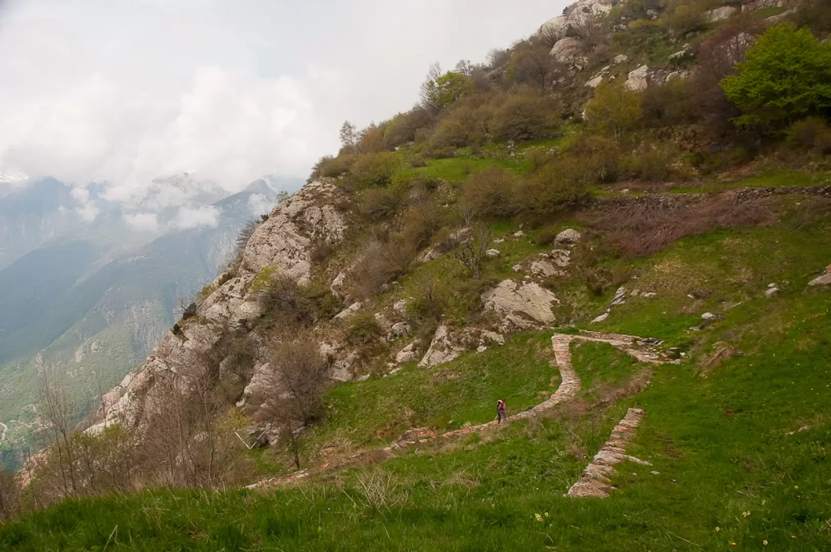
With a couple of twists and turns, you will pass above the abandoned village and continue uphill through the forest on the obvious mule track. The path varies in gradient, with steeper and less steep stretches, and reaches a series of hairpin bends supported by stone walls and wooden railings. Continue until you reach path 1, which climbs up from Bard (969m, 0h50').
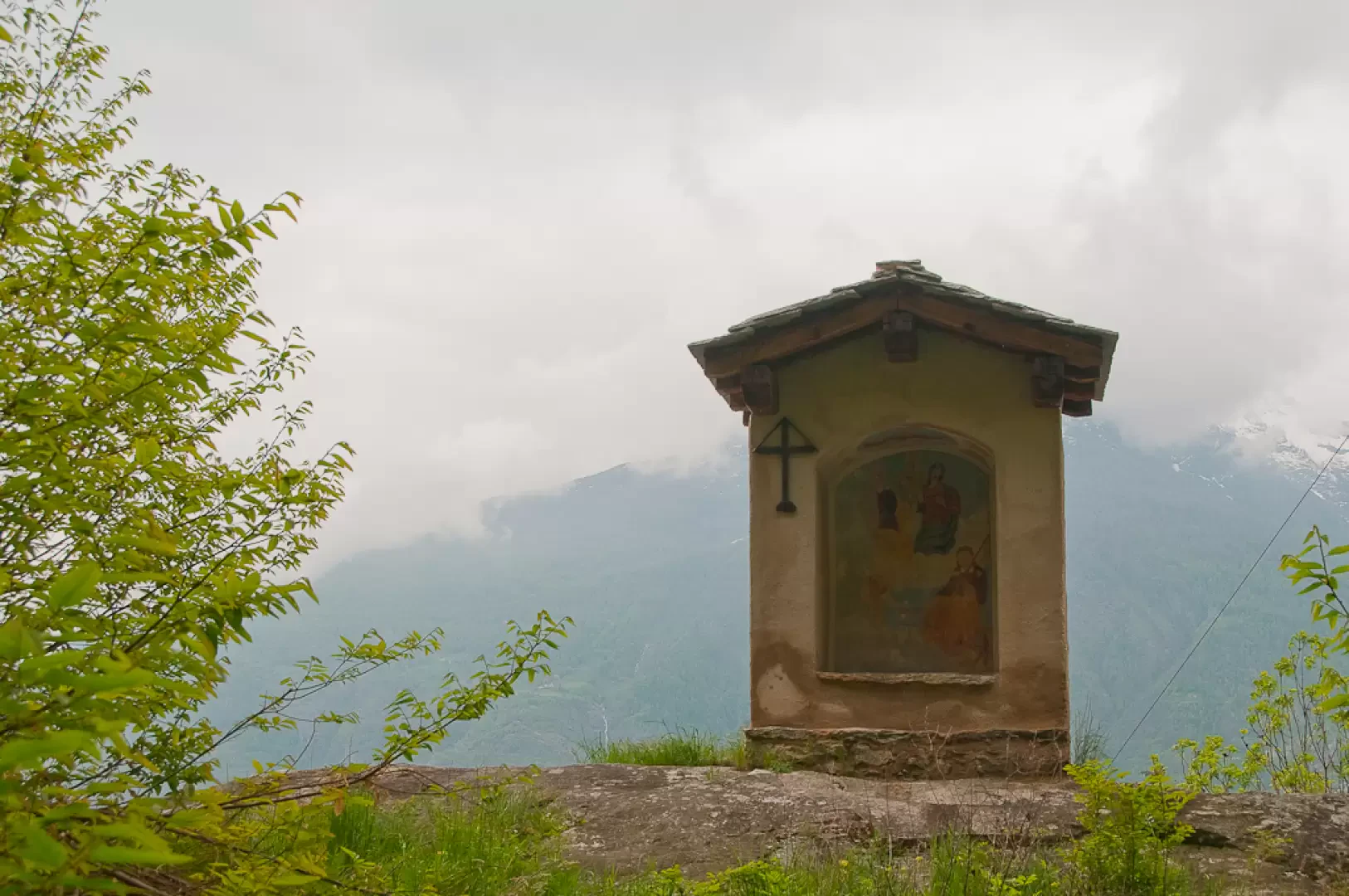
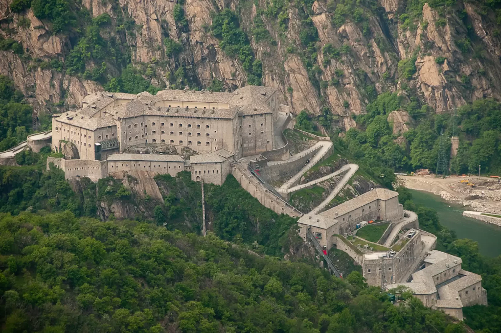
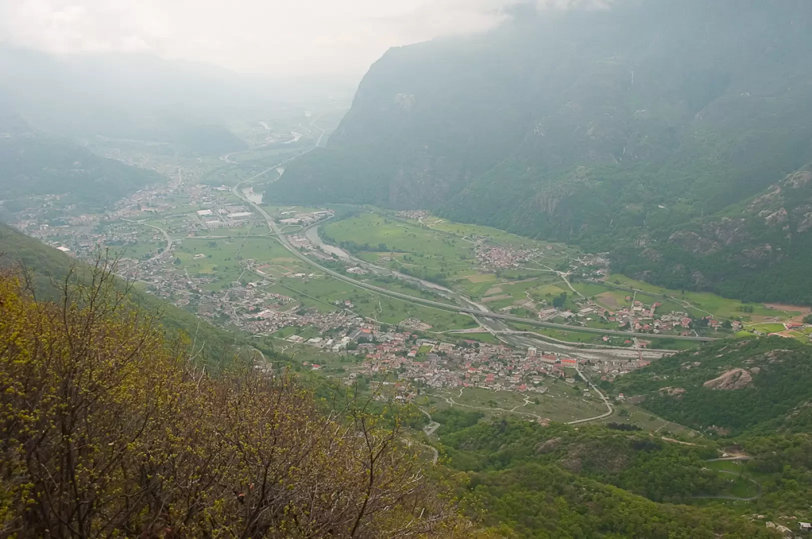
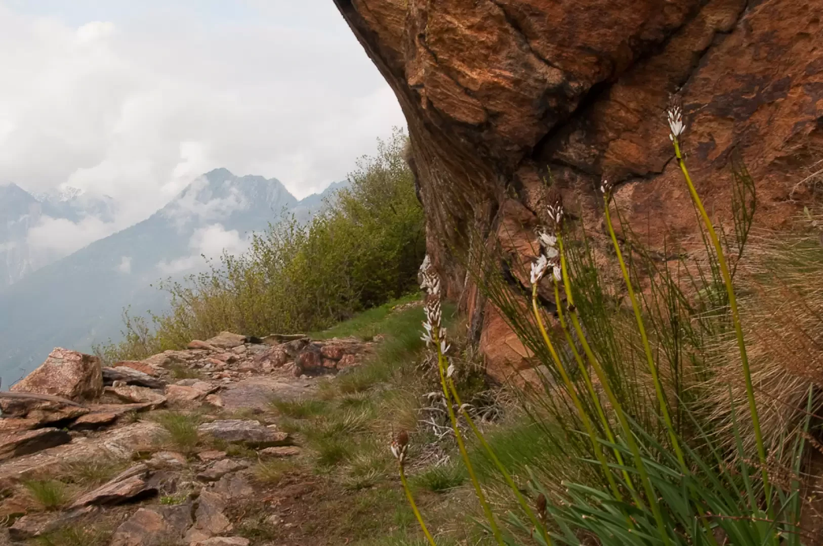
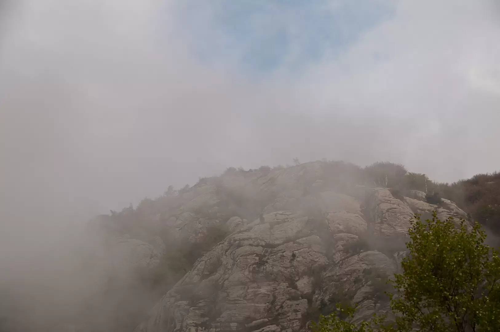
Turn right, proceeding along the edge of an overhanging rocky outcrop that limits the path until a left-hand bend that soon leads to a panoramic section with a remarkable view of the Fortress of Bard below. After another hairpin bend to the right, the path re-enters the wood, left briefly on the panoramic stretch, until a new left turn preceding a flat and panoramic stretch. The destination is not far away, and you start climbing again, making a wide bend to the right and entering the hollow before Verale. The wide rocky panettone of the Tête de Cou appears before your eyes. With an even slope, one leaves the last wooded thickets and enters the pastures that precede the village. The mule track now becomes paved and makes a photogenic curve to the right until reaching the small chapel of Verale (1230m, 1h40').
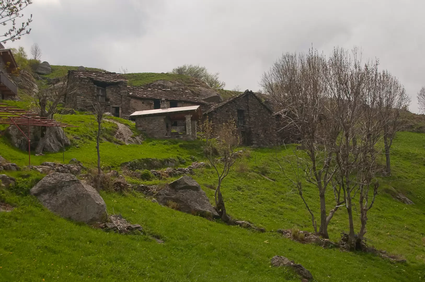
Just beyond, you will come to the turnoff for the Fenêtre de Cou (1235m), which branches off to the left. Neglect the turnoff and proceed towards the cottages following the direction of Barma Sou Frit. In a few minutes, you will then reach Verale (1243m, 1h45'), a pleasant village with a small bread oven.
The descent follows the route taken on the ascent (1h00').
Photo gallery
Comments (0)
Sign in to leave a comment