Tȇte des Goilles, from Lillaz

Edited by:
Giancarlo Beretta
Updated at: 29/05/2026
Access
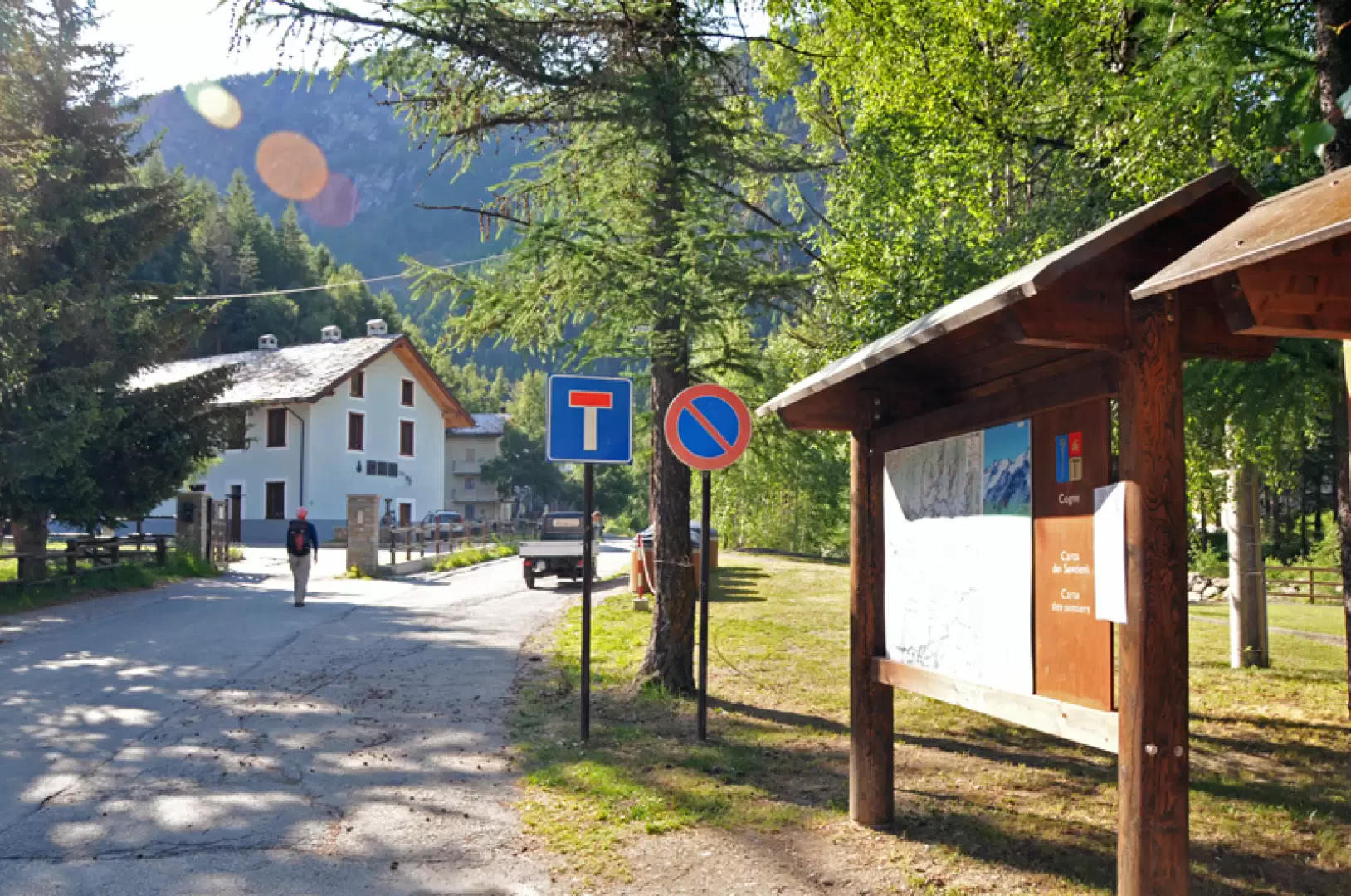
At the motorway junction of Aosta West, turn right and take the regional road for the Cogne valley. Drive through the village of Aymavilles and, after 1.3 kilometres, take the second exit at the roundabout. Go up the regional road for 19 kilometres, passing the villages of Vieyes, Epinel and Crétaz, until you reach a roundabout: take the second exit, following the signs for Lillaz. Continue on the communal road for about one kilometre until you come to another roundabout; go straight on for another 1.8 kilometres until you reach the large car park 🅿️ in Lillaz, made up of three sections: the car parks closest to the start of the paths are pay-parking, the central ones are free, and the furthest away are for motorhomes.
[0h32'] - [24.0km]
How to get there with GMAPS
How to get there with Apple Maps
The directions provided have been carefully checked as of the date the route was taken. However, it is highly recommended to check for any changes that may have occurred since then, especially regarding the route to the starting point. Before embarking on your journey, it is advisable to consult up-to-date navigation tools for accurate and up-to-date directions. We recommend the use of satellite navigation apps, such as Google Maps or Apple Maps, to ensure the most accurate and safe route.
Introduction
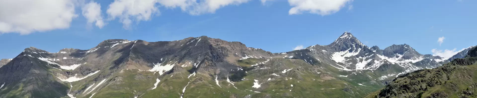
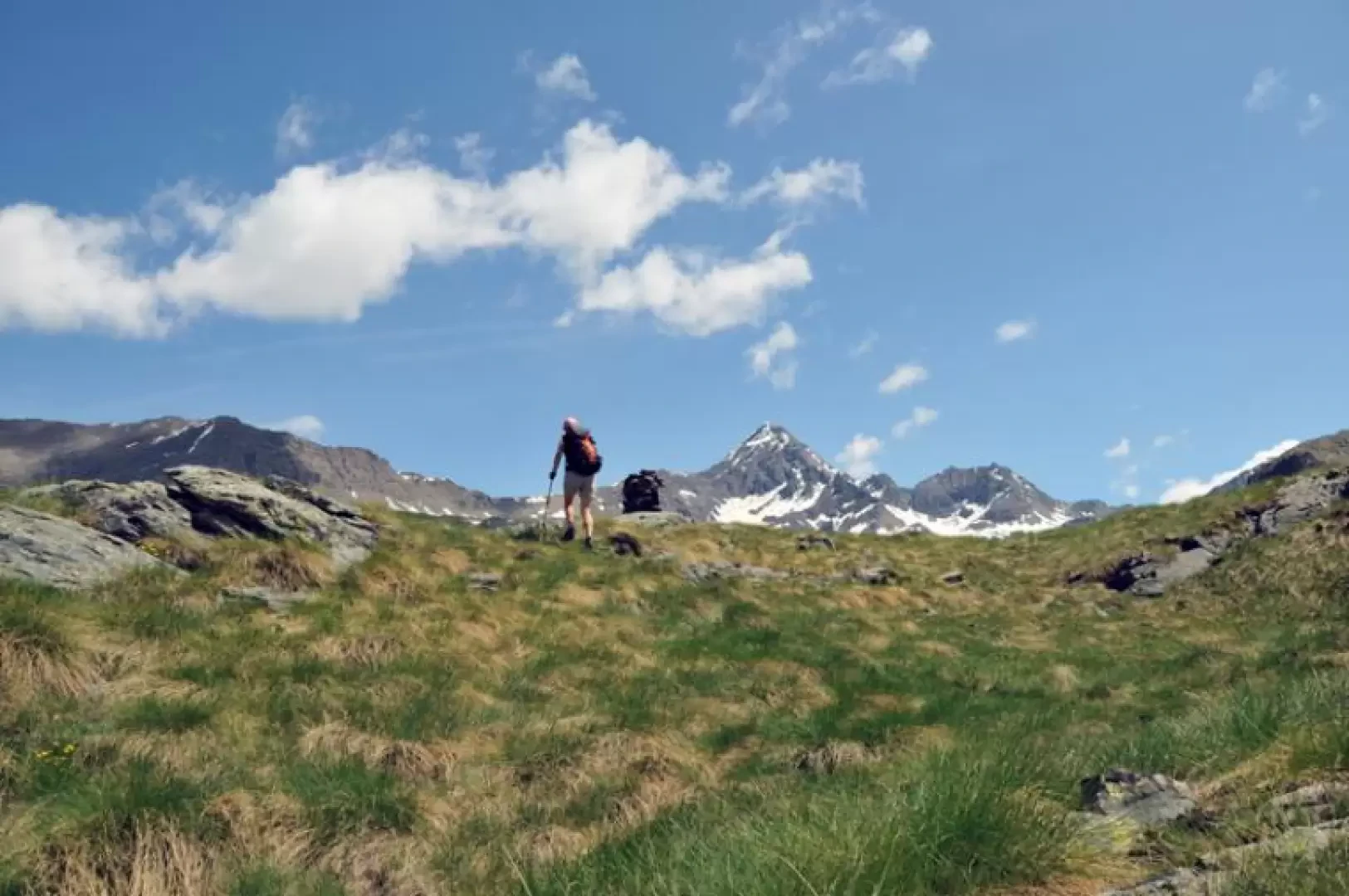
This loop hike reaches a peak of modest elevation from which, however, there is a beautiful panorama of the peaks overlooking the Urtier valley from Mount Creya to Tersiva, the wide and lonely Bardoney valley, and also a nice view of the more distant Mont Blanc. On the descent, we also touch on the beautiful Loie lake located in a small basin below the Bardoney peak and the Rossin peak. In addition, it is almost inevitable to make sightings of the alpine fauna that populate these areas in large numbers.
Description
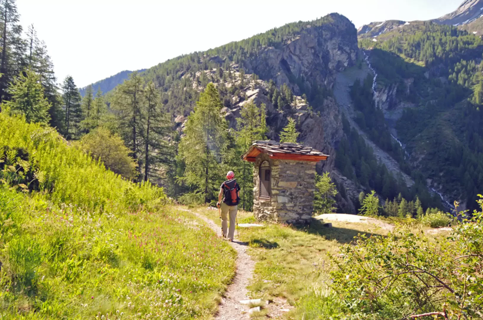
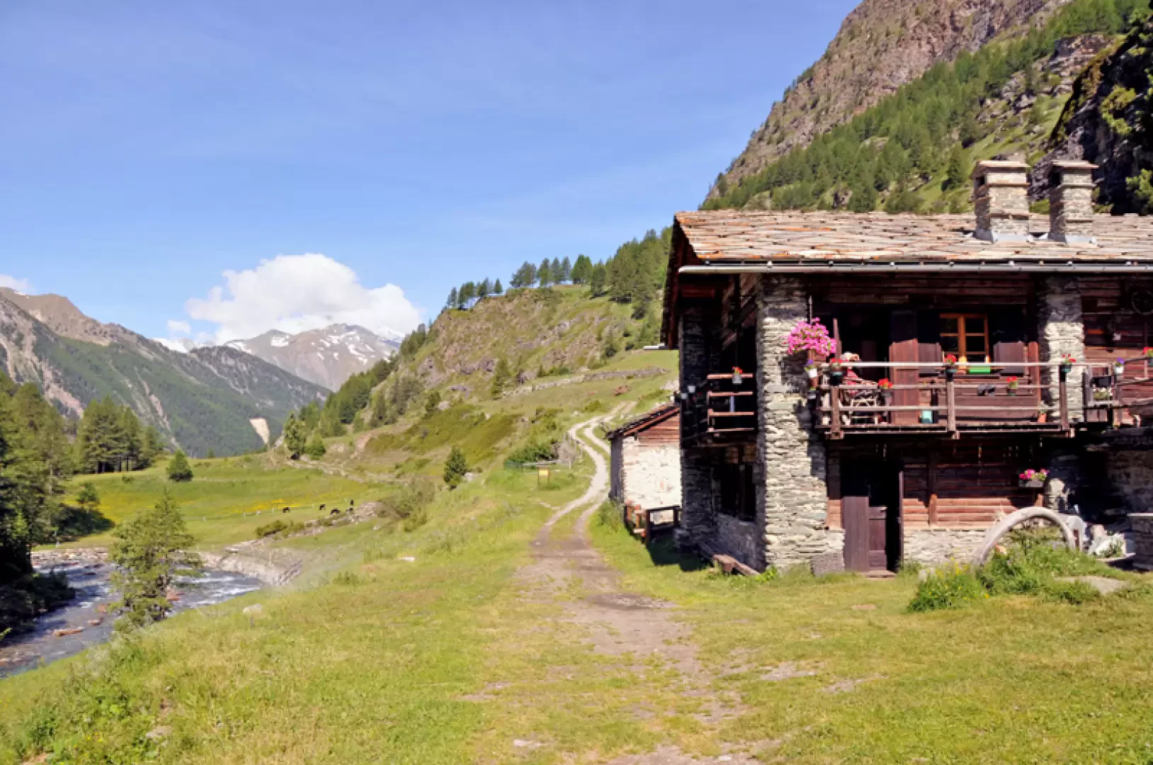
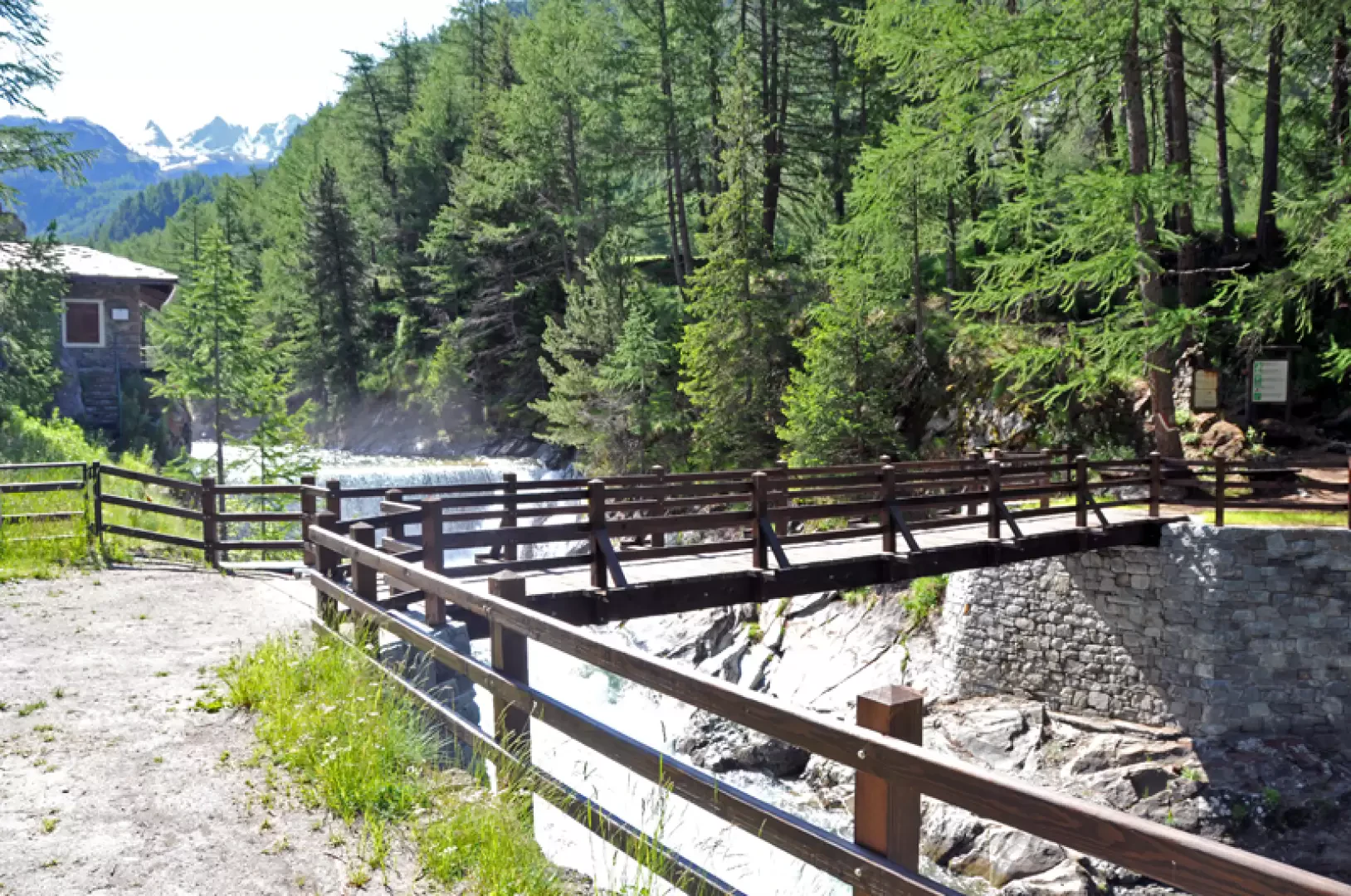
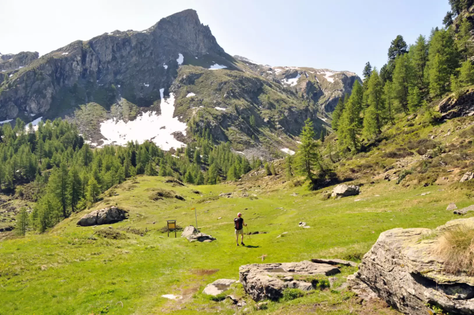
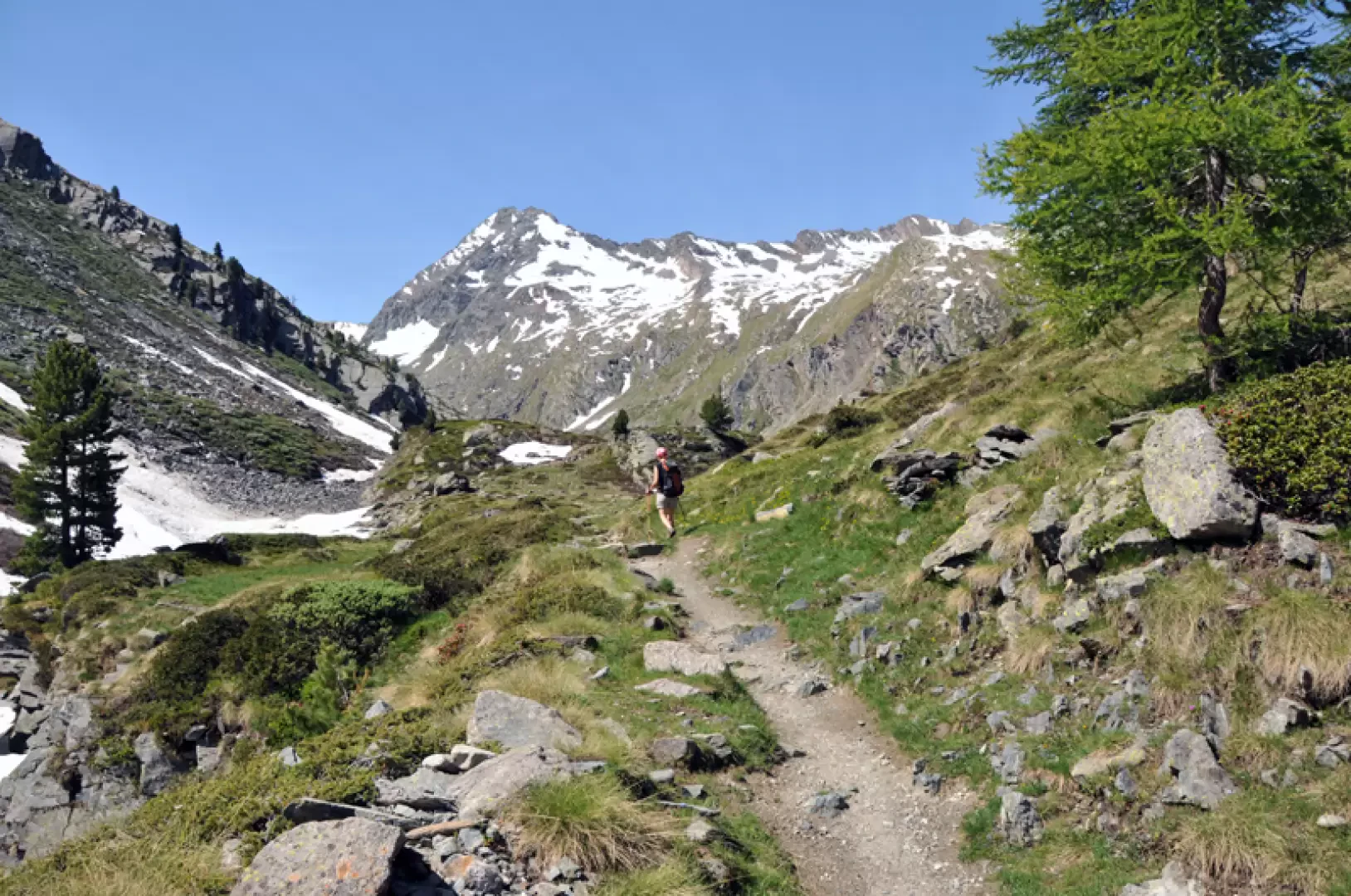
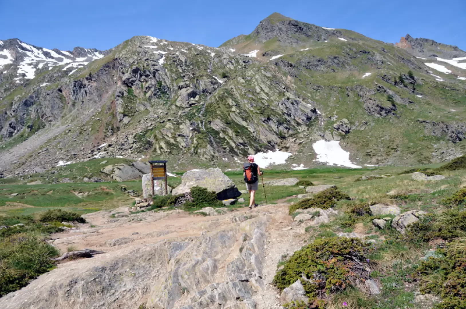
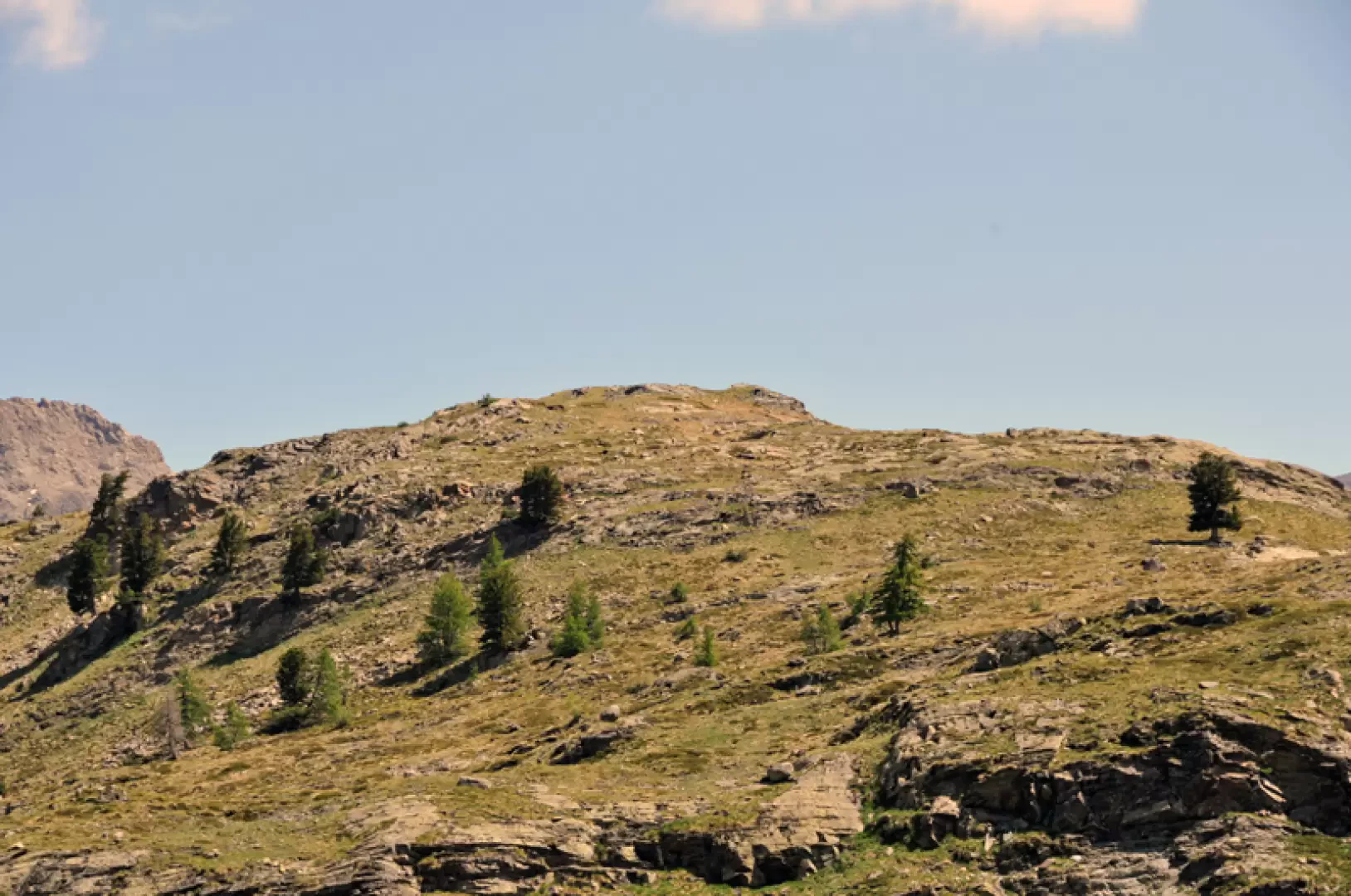
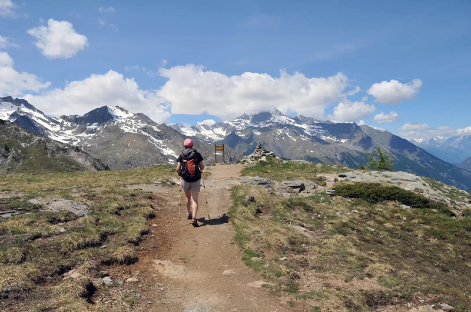
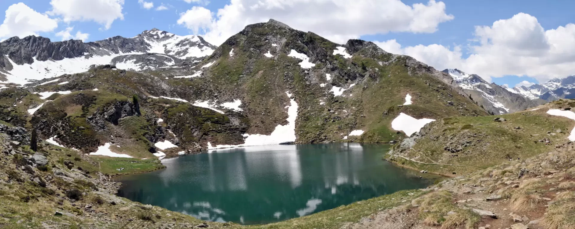
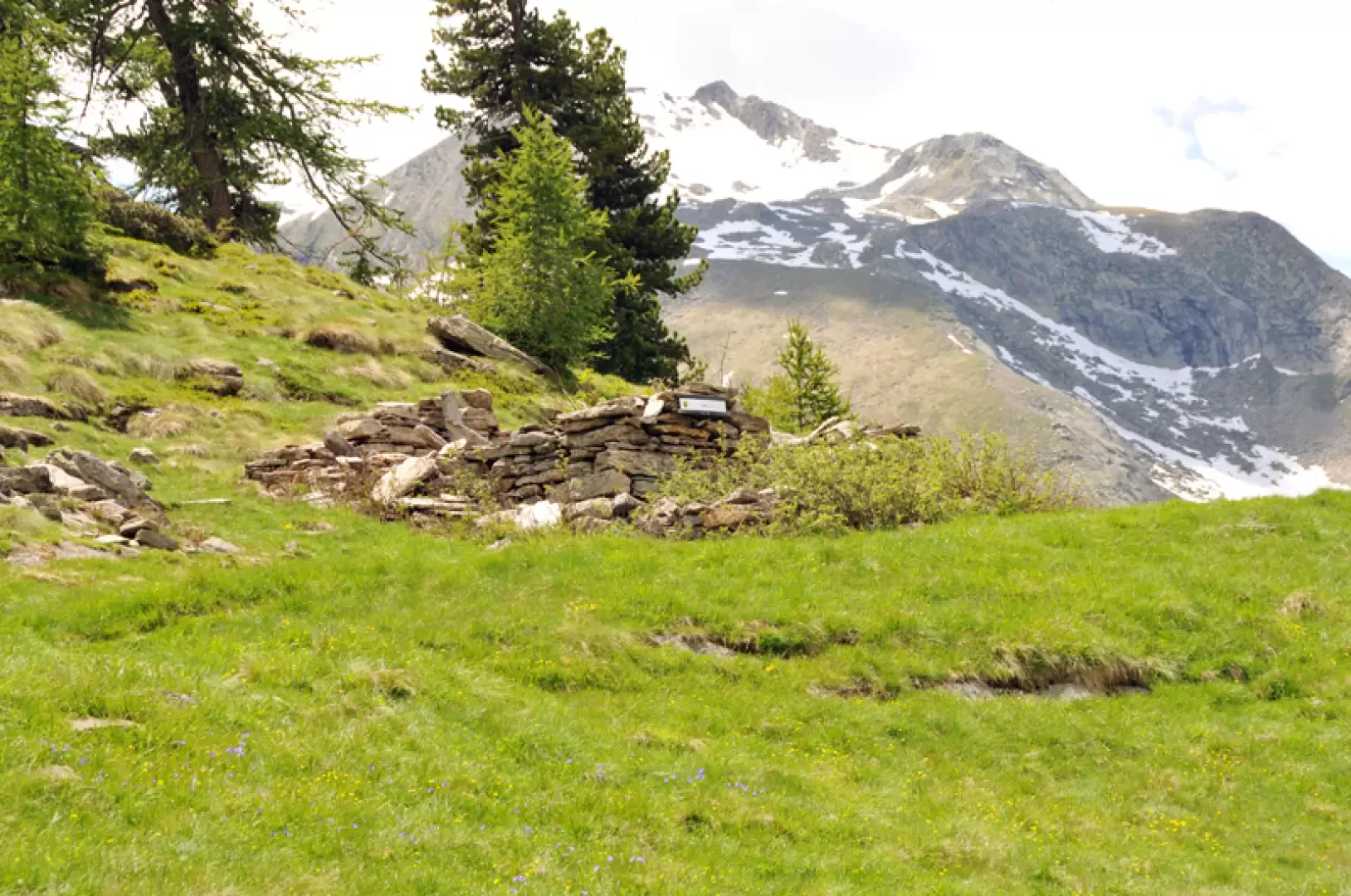
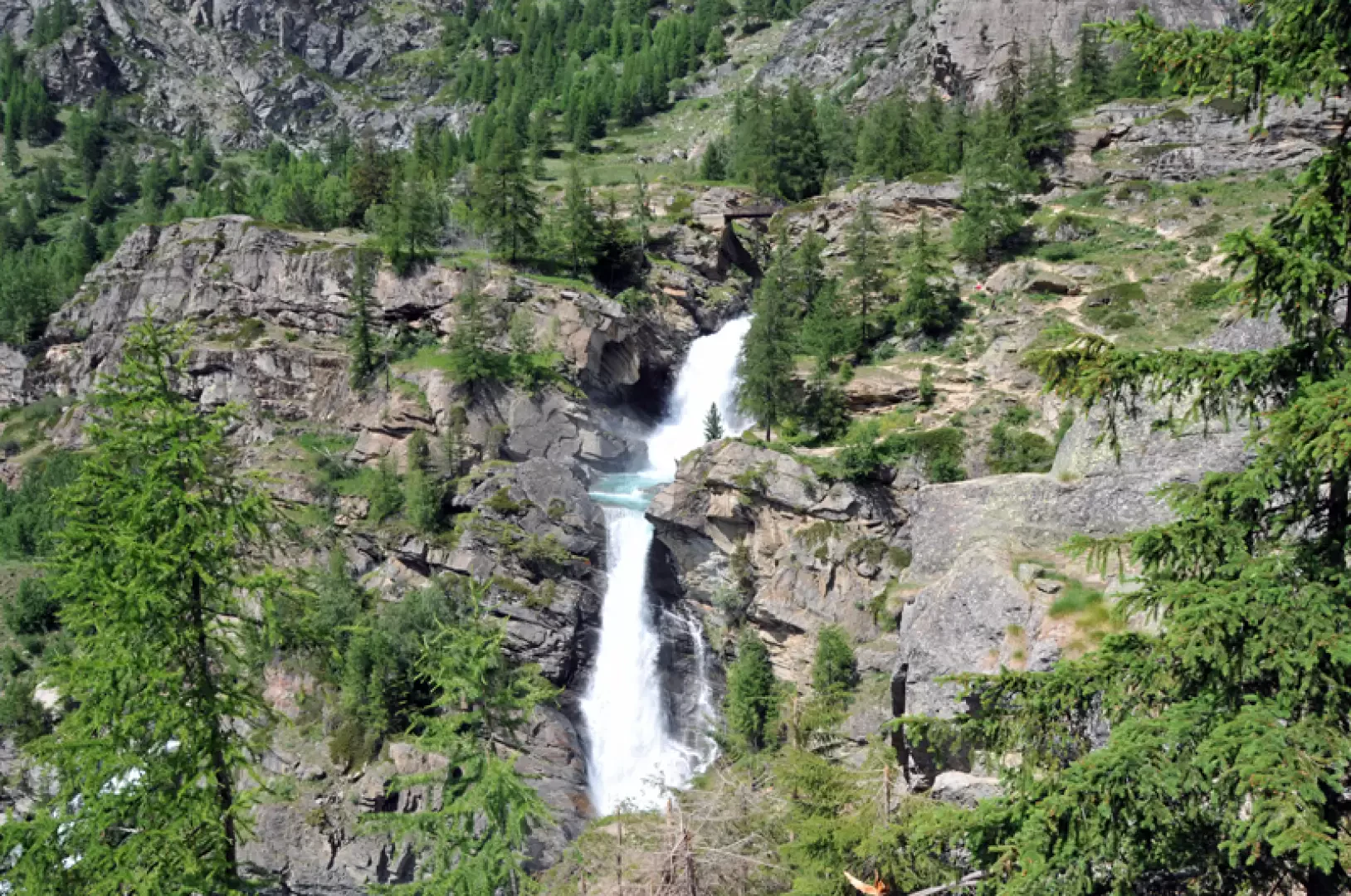
From the car park, head towards the obvious tourist signs and panels at the bottom of the car park and continue along the little road for a short distance until you come to a house on the left where there is a signpost for Bardoney. Climb up the short stone staircase and then take the path that rises over the low pastures of the valley; keeping to the left at a fork signposted by a small post, head towards some obvious water pipes, which you pass, and then go past a votive chapel. The trail then continues on a level course through the meadows, passing below the Goilles dessus huts and further on past the Goilles desot huts (1830 m), and arriving at a wooden bridge that just ahead crosses the Urtier stream. Walk a little further over the pastureland to enter the beautiful coniferous forest, which is climbed up with comfortable hairpin bends and after a level traverse, you come to a grassy plateau where there is a fork signposted by the posts (2140 m). Keep on the track to the right that enters the Bardoney valley, passing just above the stream that descends from it to meet a fork in the path at a marker (2224 m) at which you turn right to take path 12. Without arriving at the Bardoney pasture, therefore, pass alongside a hump and then skirt a peat bog where, as soon as the path begins to climb, there is a very faint track (2270m) that heads right and climbs up, losing itself in the low vegetation. Without an obligatory path, head towards the now obvious squat peak, passing a small stream and another small peat bog, and, gaining the ridge, climb up until reaching the large stone cairn on the summit. Back on the path, climb up a few hairpin bends and contour the Cima di Bardoney to the right, reaching a marker post flanked by a small stone cairn, which is the highest point reached on this tour (2403 m). After descending, follow the evident track and you will see the basin of Loie Lake (2346 m) further down, which you will soon reach and contour to the right to descend at its outlet towards the wood below. We pass below the ruins of Loie (2229 m) and continue to descend to the right along the path that becomes steeper, making numerous hairpin bends among conifers and rhododendron bushes. Continuing to walk alongside the stream that descends from the lake, we pass a high waterfall to come in sight of the even higher and more famous Lillaz waterfall; we pass a landslide cone to the left and descend more gently to reach the path that leads to the Lillaz waterfalls on the right, while turning left we soon reach the village; we cross the houses and arrive back at the car park where we started.
Galleria fotografica