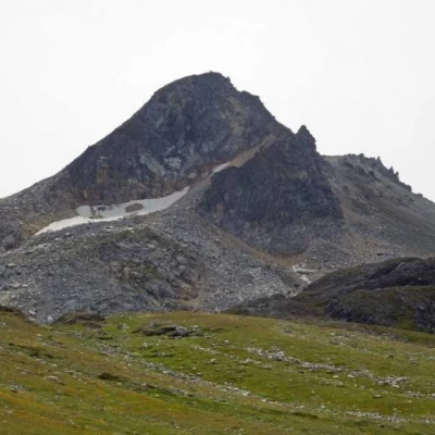
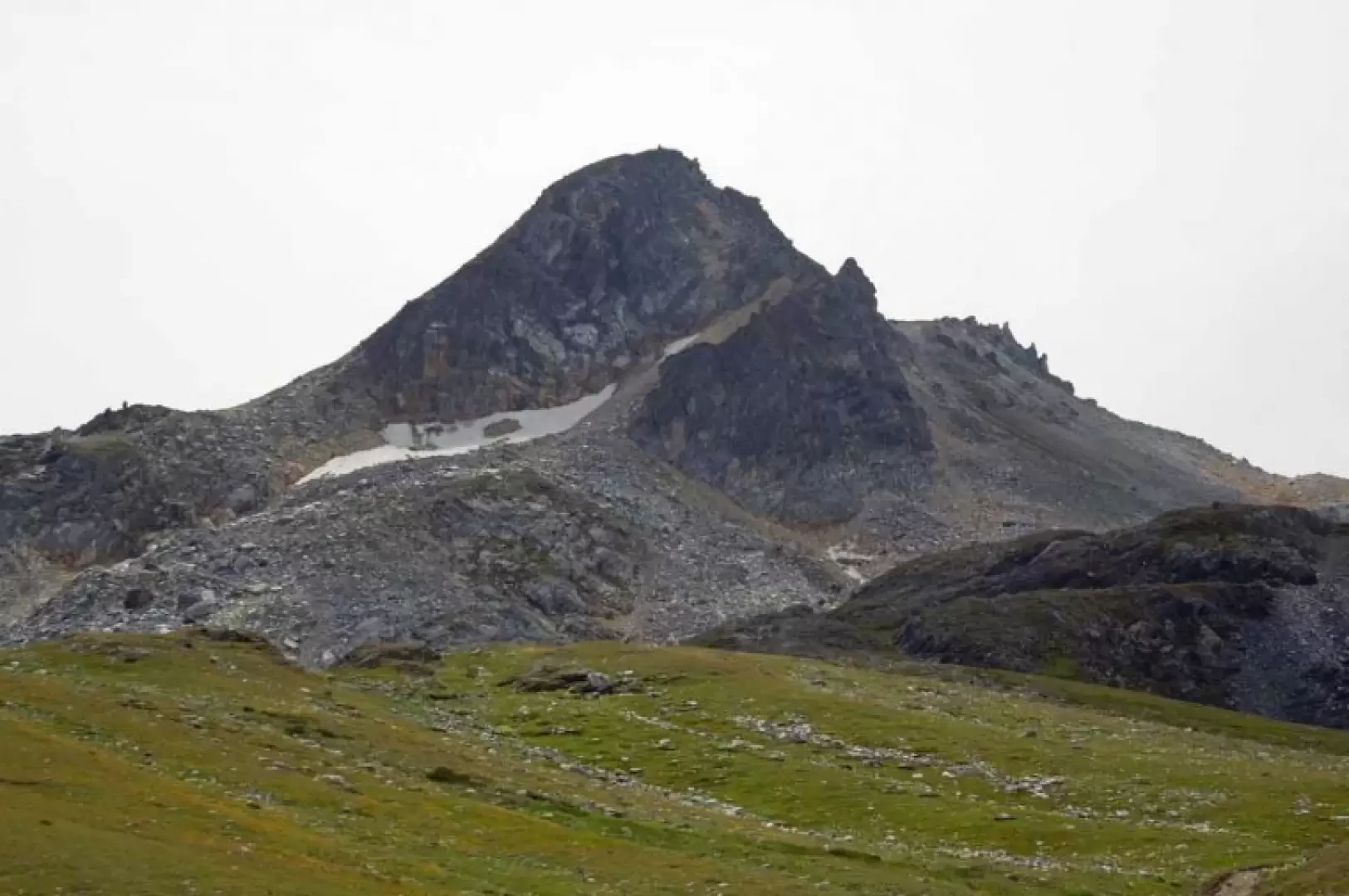
Tête de Fonteinte, from Baou
Access
Leave the motorway at the Aosta Est barrier, turn right and take the [E27] dual carriageway to follow for 8.4 kilometres. Arrive in Signayes and continue straight on the main road, passing the villages of Gignod, Etroubles and Saint-Oyen, until you reach, after 24.5 kilometres, the junction for the Colle del Gran San Bernardo. Turn right and drive up the road for another 12.6 kilometres until you reach the Baou alpine pasture and its free car park 🅿️. The car park is reserved for customers of the refreshment point and is usually very crowded: it is advisable to arrive early to avoid difficulties in finding parking at the pass.
[0h43'] - [37.10km]
How to get there with GMaps
How to get there with Apple Maps
The starting point of the itinerary is not accessible by public transport.
The information provided has been carefully checked as of the date the itinerary was taken. However, you are strongly advised to check any changes that may have occurred since then, especially regarding the access route to the starting point. Before embarking on your journey, it is advisable to consult up-to-date navigation tools for accurate and up-to-date directions. We recommend the use of satellite navigation apps, such as Google Maps or Apple Maps, to ensure the most accurate and safe route.
Introduction
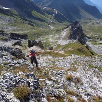
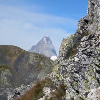
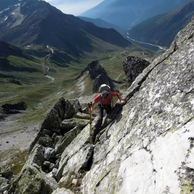
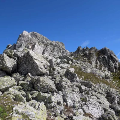
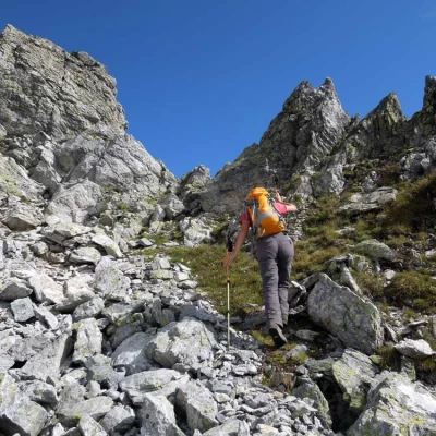
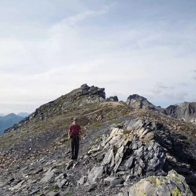
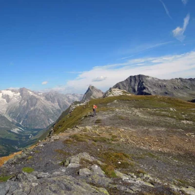
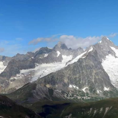
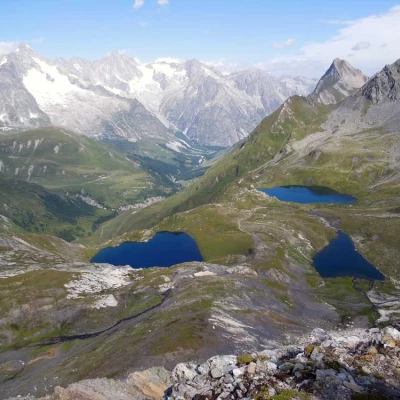
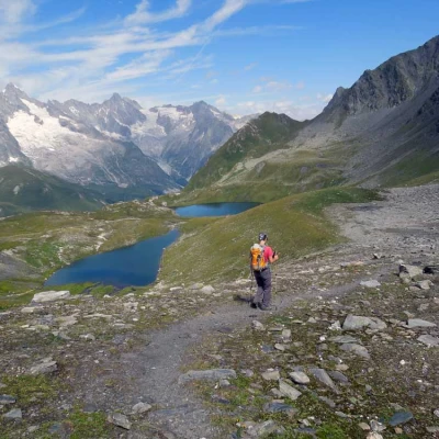
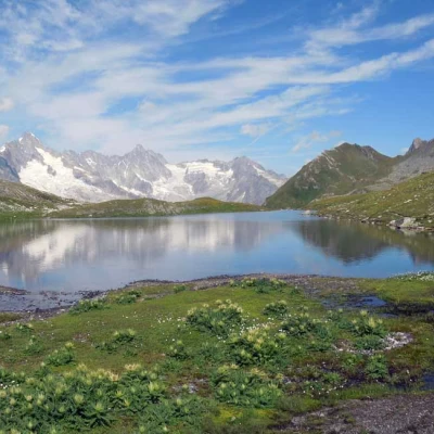
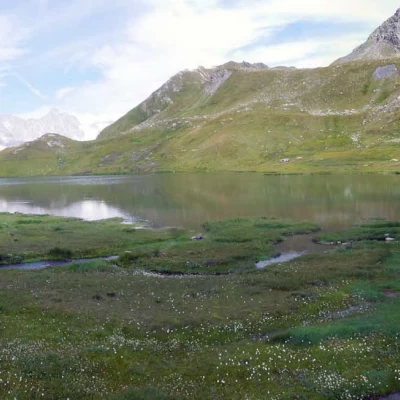
La Tête de Fonteinte is a peak located just across the Swiss-Italian border in the area of the Great St. Bernard Pass but is also easily accessible from Italy. It juts out towards the Swiss Val Ferret and is located between Col de Fonteinte and Fenêtre de Ferret. From the Swiss side, it appears as an inaccessible rocky spire, while from the Italian side it can be reached by the normal itinerary, along tracks with not excessive slopes and an easy ridge. The route described here, on the other hand, reaches the summit by walking along the marked ridge, at first grassy and then rocky, that reaches an antecedent and separates the Mont Fourchon - Pain de Sucre valley from the usual ascent route. In the first part of the itinerary, you walk on grassy terrain with tracks that sometimes disappear, while once you reach the ridge, the progression becomes more demanding; this last part is steep until the small rocks, which, circumvented with a few passages and exposed traverses, arrive at a fork just to the right of a rocky point, after which the route becomes elementary. The view of the glaciers and the mountain chain from Mont Blanc to Grand Lui is very beautiful, as is the view of the surrounding valleys and the picturesque Fenêtre Lakes below. As the hike is short and with little altitude difference, the advice to complete it worthily is to descend to the lakes and return from the Fenêtre de Ferret on an easy path, thus making a beautiful circular hike.
Description
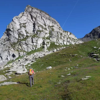
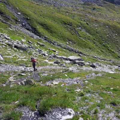
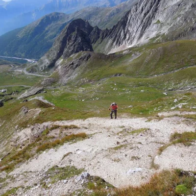
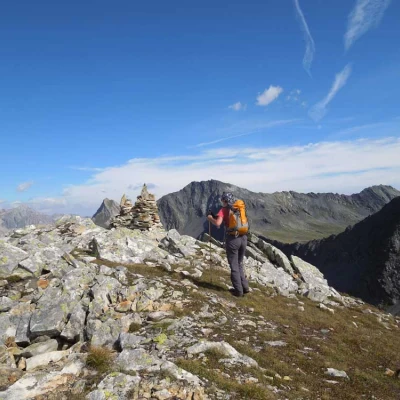
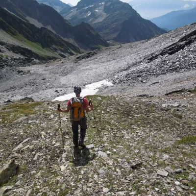
From the posts situated on the dirt road widening, begin to climb the slopes at the back of them, turning immediately to the left towards a large isolated rocky point; before arriving at a band of stones, follow the track on the right that goes up a low grassy rib and leads, after crossing a stream, into a wide valley that you cross in its centre. Going up the valley, you come to a crossroads (2507 m) where you take the track that climbs to the left towards a slope of grass and stones that rises with a good gradient; having reached an altitude of about 2573 m, you leave the track, without descending on the opposite side, to climb the steep ridge that rises to the right without a fixed route. Having passed a few small rocky outcrops on the left, continue laboriously on mainly stony ground until just before a few large rocks below which you turn right, passing between large blocks of stone to surround them with a slightly exposed passage on a vertical slab. Once this section has been passed, head towards the highest of two evident gullies on the right, which is reached with a steep climb after having traversed a comfortable rocky section. Once past the narrow inlet, go around the rocks with a short exposed traverse to then climb a short grassy slope that leads to a pass on the right just below a small point (2,779 m). Here, once the difficulties are over, follow the easy northward ridge on a track that, having passed the first hump, leads to a stretch where the ridge, by now not very steep, becomes wider and at the end of which you can see the high stone cairns of the summit that you will soon reach. For the descent, briefly retrace the crest and descend almost immediately to the left to shortly reach the wide crest of Col de Fonteite (2,733 m); from the post at the pass, descend to the left along a path that, on stony terrain where you can find a few snowfields even in advanced season, with narrow bends and then with an almost straight path, rapidly loses height approaching the ridge of the basin where the highest lake is located, which is reached with a brief descent to the left (2,528 m). From here, follow the path that passes to the left and, having reached a crossroads with a marker (2494 m), follow it for a short distance and then turn right to reach the nearby lower lake (2473 m); now, having reached the lowest point of the excursion, return to the marker and from here climb briefly to deviate to the right to reach the last lake in this beautiful basin (2507 m). Now go back up the grassy slope to the left to rejoin the path that, ascending to the right, heads towards some stony areas at the top of which the Fenêtre de Ferret (2699 m) is clearly visible and which you will soon reach. If you want to extend the hike a little further, you can also climb to the Tête de Ferret by turning right onto a visible track that soon leads to the summit. Returning to the Fenêtre de Ferret, take the obvious path to the right that reaches a grassy basin, from which you descend to the left, skirting a stream and arriving at a fork (2512 m) where you continue the descent on a stretch of stony ground; having passed this stretch, you arrive above a grassy promontory, the path forks and, taking the one that descends to the left, you make a short traverse that takes you to the top of the short grassy slope below which is the starting point.
.