Elisabetta Soldini Refuge, from La Visaille


Edited by:
Vittorio Martini
Updated at: 14/03/2025
Introduction
For lovers of long but not demanding hikes in terms of altitude difference.
Description
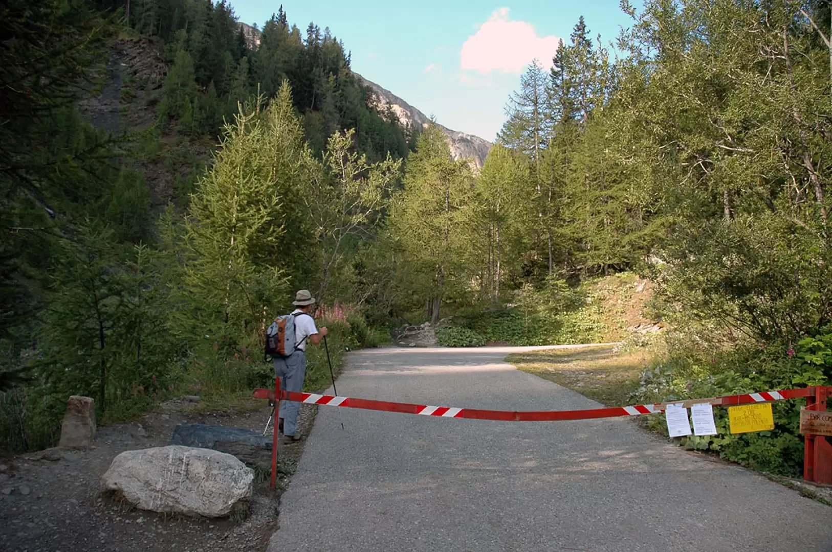
A few kilometres from the Bosco del Miage picnic area you leave your car as traffic is prohibited (barrier across the road). From here you set off on foot, walking along an inter-country road, and after about an hour you reach Combal Lake (1950m).
In reality, what is called Combal Lake is a vast marshy plain where the various streams that originate from the glaciers on the orographic left of the 'lake' are grouped.
At the confluence of the streams there is a bridge that leads to the bottom of the marshy plain after a little more than half an hour. From there, the hut is already visible: if you want to continue on the dirt road, you can still reach the hut, but at the end of the plateau, on the left, there is a path that climbs halfway up the hillside and shortens the route. It leads to a second plateau, from where you can continue to the French border, to the Col de la Seigne, following the signs (1h 30' from here). It is only practicable in late summer, as otherwise the snow does not allow passage. Those who don't want to venture too far from the second plateau can continue on to the hut, which can be reached in a quarter of an hour, passing by an alpine pasture.
Curiosities
Not far from the hut, the remains of a crashed plane can be reached (a thirty-minute walk).
Photo gallery
Comments (0)
Sign in to leave a comment