Promiod, from the parish church of Châtillon
Access
At the exit of the Châtillon motorway tollbooth, take the second exit and turn left. Go up the road briefly to a roundabout, here take the second exit and go up Via Pellissier until you come to a large no-fee car park. Leave your car and proceed on foot to the previously encountered roundabout and turn right onto Via Emile Chanoux. Go up the main street of Châtillon until you reach an open space where Via de Tollen begins: go straight on for a few dozen metres until you come to Via Gervasone, the starting point of the itinerary.
- How to get there with GMAPS
- How to get there with Apple Maps
Introduction
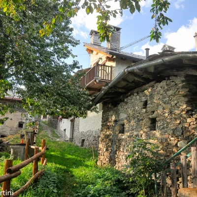
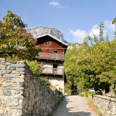
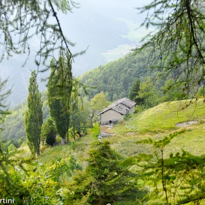
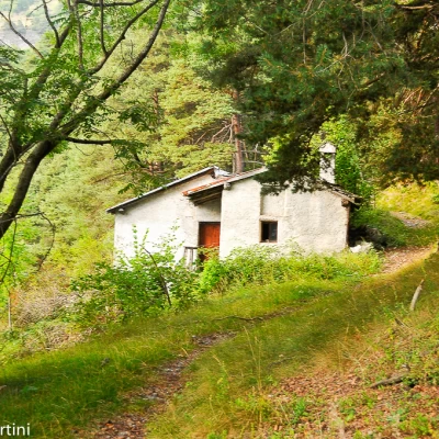
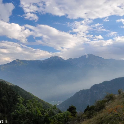
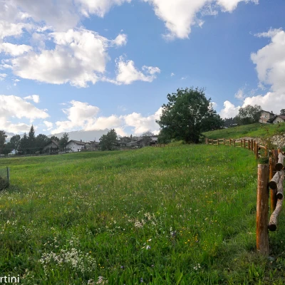
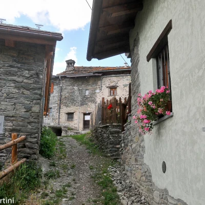
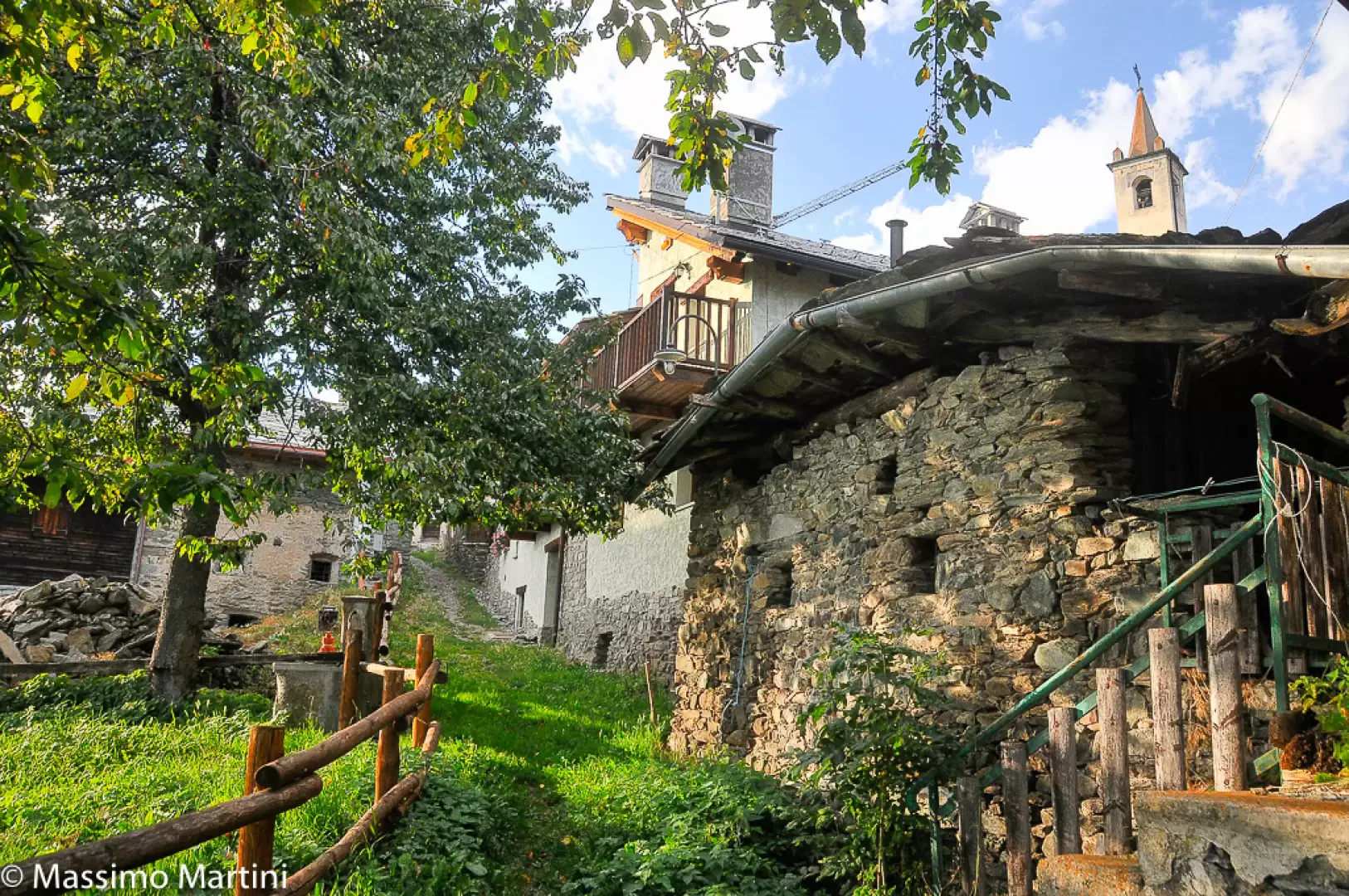
Promiod is a pretty village resting on a balcony, of glacial origin, rich in pastures at the entrance to Valtournenche. The proposed itinerary is an invitation to discover this corner of the valley, among ancient mule tracks and seemingly impenetrable woods. The arrival at Promiod gratifies the hiking effort with pleasant panoramic views of the lower Valtournenche and the mountains south of Châtillon. The village is inhabited all year round thanks to the efforts of many families who have renovated old dwellings over the years. Finally, the pretty chapel, dedicated to St. Anthony, is an interesting feature of the village skyline.
Description
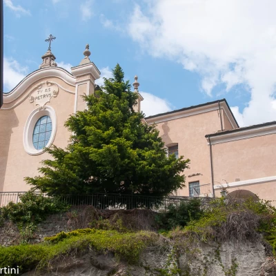
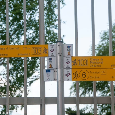
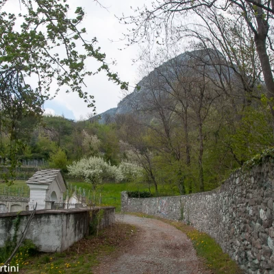
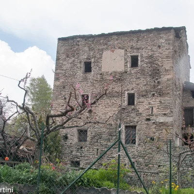
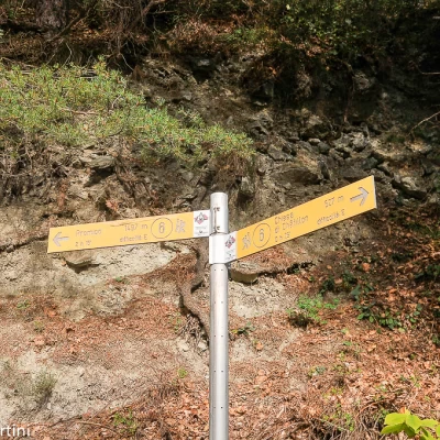
0h00' Take Via Gervasone, which wedges narrowly between the historic houses of the hamlet and then turn right onto a flight of steps that soon leads to the small road before the parish church of San Pietro. In the clearing facing the main entrance to the church, you will come across a signpost indicating the Via Francigena and path to Promiod, which indicates a 2h 45' walk to reach the destination. Continue in a northerly direction on a flat road that quickly becomes a dirt track. Neglect a track that descends to the left and proceed past the walls of Passerin d'Entrèves Castle to the right and, a little further on to the left, the structures of the old cemetery. On the right, a path soon leads to the first houses of Conoz (625m, 💧). On reaching the village, start walking again on asphalt for a short distance, just long enough to reach the village's central square in the presence of the ancient 12th-century tower. Continue along the main road, which soon leads out of the village and onto another short stretch of track: a few minutes and you reach La Verdettaz (662m), a small village from which the Ru de la Plaine trail starts.
0h20' Climb up a steep lane that becomes a grassy track for a short distance at the end of the village, until it joins the little road leading to Murattes (684m), which remains to the right of the main route. We meet the signposts with the number , which will accompany us to our destination. Shortly after Murattes, we take the wide mule track that enters the mixed forest with a prevalence of downy oaks (Quercus pubescens) and, after making a few turns to gain height, crosses the tarmac road of Isseuries.
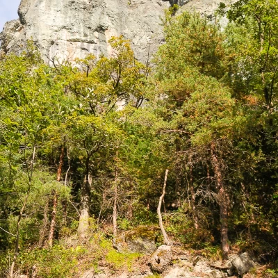
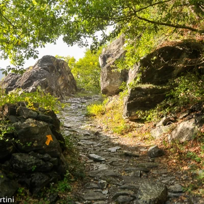
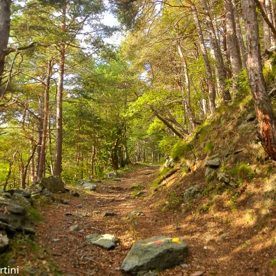
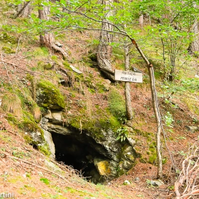
0h30' We meet a new marker that introduces the main part of our itinerary. We take the mule track that ascends diagonally to the left and begins to climb the steep, south-western slope of Mont Blanc de Châtillon; with a little attention, we can see the Ru dou Pan Perdu artefacts. The mule track maintains a constant slope that makes the ascent pleasant, while the forest mitigates the intense heat, especially in summer. You reach a short opening in the forest, the altitude is about 900m, from which the green pastures of Torgnon and the peak of Mont Méabé appear in the background. One crosses a short stretch of scree and then re-enters the forest, which is initially sparser before thickening again thanks to the presence of the Scots pine (Pinus sylvestris). A few twists and turns make one gain height more quickly and soon one finds oneself in the vicinity of 'l'antica miniera', a small ravine probably created to check for the presence of valuable mining material. A little further on, the mule track meets, on the right, the path to Boesse (not to be neglected)
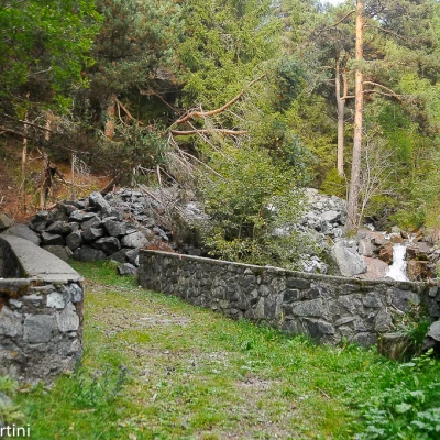
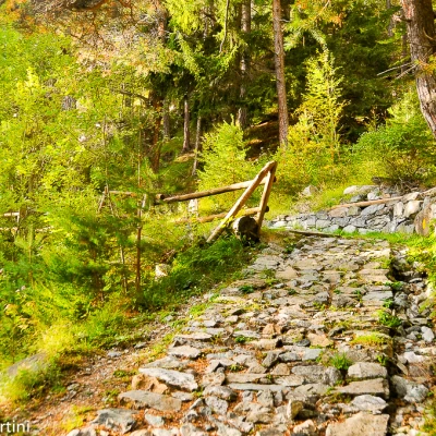
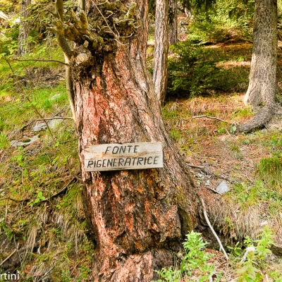
1h30' Continue on the wide path approaching the Bren pastureland, passing the Bren di Meiten pasture (1230m). The climb increases slightly in intensity as the path enters the Torrent de Promiod valley, which will be crossed over a stone bridge. Not long before reaching the destination, the path is replaced by a beautiful paved mule track. We skirt a "Regenerating spring" (1370m, 💧) and overcome a fairly steep section before flowing onto the pastures that anticipate the village. Views open up over the central valley and Torgnon ahead, while the trail follows the gentle curve dictated by the scenic fence that accompanies the hiker as far as Promiod (1492m, 💧) 2h45' .
The descent follows the same route as on the outward journey, but to reach the starting point, allow for a 2h00' walk.
Points of interest
- Church parish of Chatillon
- Conoz Tour de Conoz
- Promiod
Collections
- hiking to villages in the Aosta Valley - on the map
- hiking in Châtillon - on the map
- hiking in Valtournenche - on the map
- hiking in the Aosta Valley - on the map
