Pourcil, from Outrefer

Edited by:
Massimo Martini
Updated at: 09/07/2026
Access
Road directions
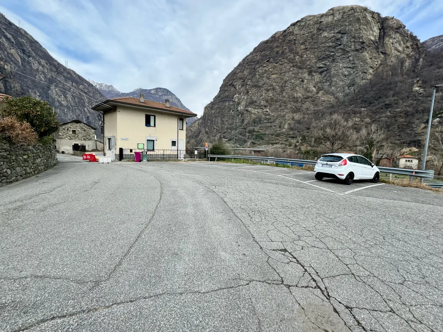
Leave the motorway at the Pont-Saint-Martin exit and join the towards Donnas. Follow the for 2.0 km (2.0 km) until you reach the roundabout at the entrance to Donnas; take the first exit and join Viale Lungodora 2000. Continue along Viale Lungodora 2000 for approximately 400m (2.4km), turn left to stay on the avenue and go round the next roundabout. Continue until Viale Lungodora 2000 curves slightly to the left and becomes Via Laffait; follow Via Laffait for 350m (3.2km), then continue straight on along Via Outrefer for approximately 80m (3.3km). The destination is on the right.
Parking
Free on-street parking 🅿️ is available near the trailhead on Via Outrefer.
Access by public transport
To reach the route’s starting point, you will need a private vehicle, as the location is not served by public transport.
Distance and journey time
🕒 walking time: 6 minutes
📏 distance: 3.4 km
GPS navigation
Important information
The directions provided were verified on the date the route was mapped. Before setting off, we recommend checking for any changes to the route or road conditions. For up-to-date information, please consult Google Maps or Apple Maps.
Introduction
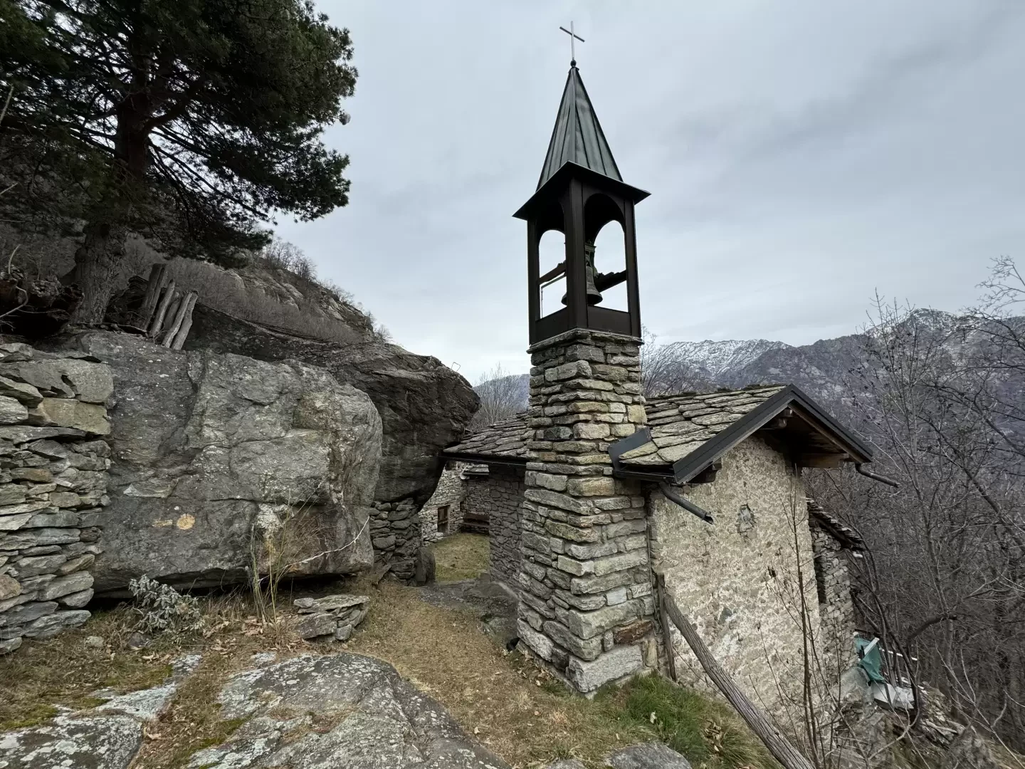
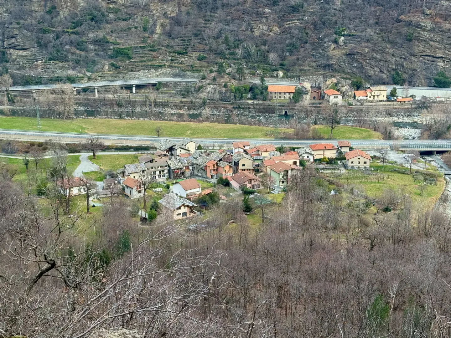
A circular route, starting from the hamlet of Outrefer (municipality of Donnas) and finishing in the village of Pourcil (municipality of Hône), on the envers side of the lower Aosta Valley. The route climbs through three distinct environments: the chestnut woodland traversed by the stepped mule track known as the Sentiero dei Mille Scalini, equipped on the steepest section as the Vertical Outrefer-Pian Bosonin; the open plateaus of Pian Bosonin dessous and dessus, with stone mountain pastures; the final stretch which, after crossing the ledge and the grassy plateau, reaches Pourcil, a hamlet whose historic character remains intact, with a chapel dedicated to Santa Maria Ausiliatrice.
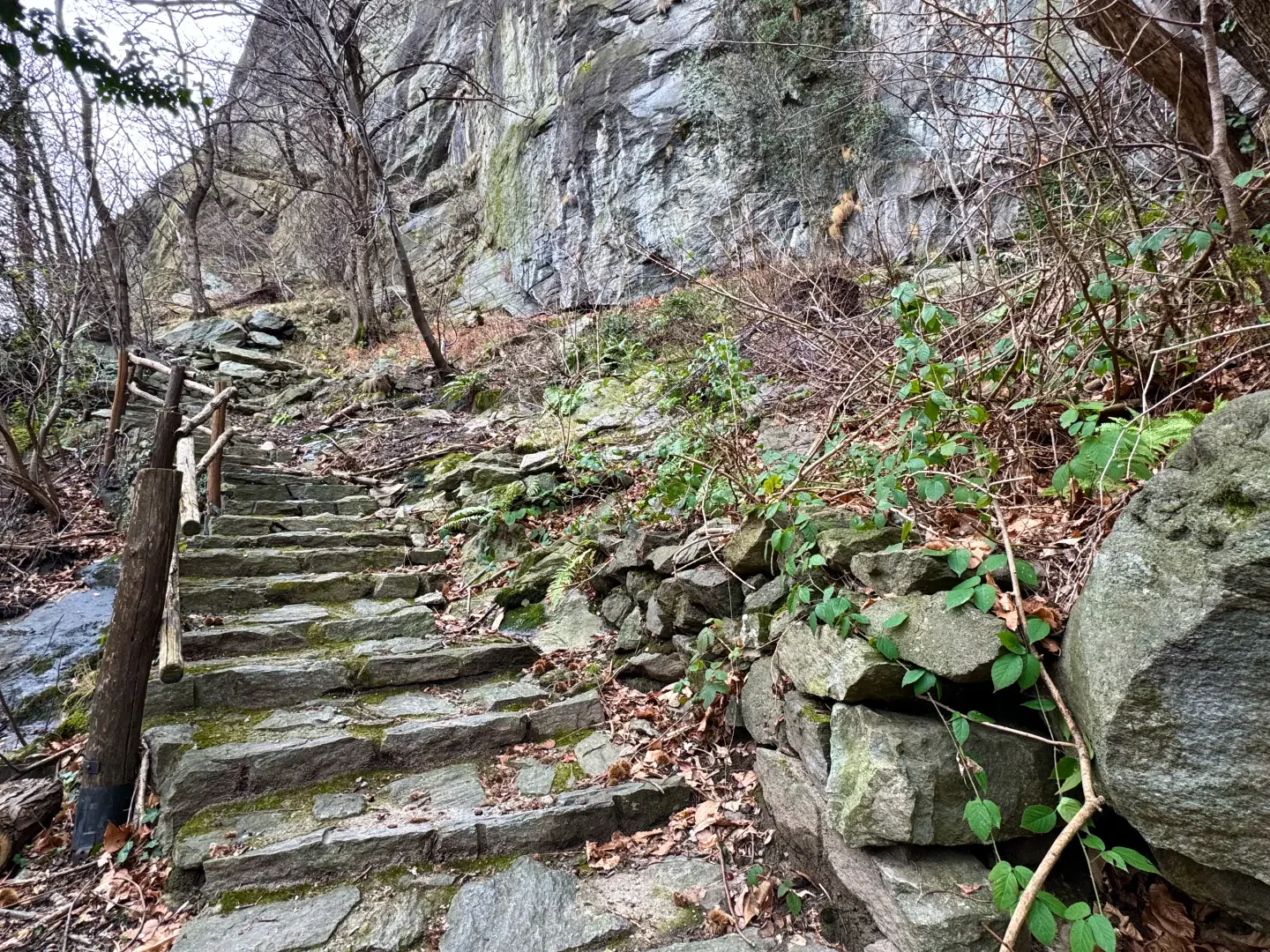
The route is accessible from late spring to autumn; if there is snow on the final section, the route naturally ends at the plateaus, which are accessible from late spring onwards. The path is signposted along its entire length; the section equipped with a wooden handrail on the rocky outcrop above Outrefer requires caution when the ground is wet.
Description
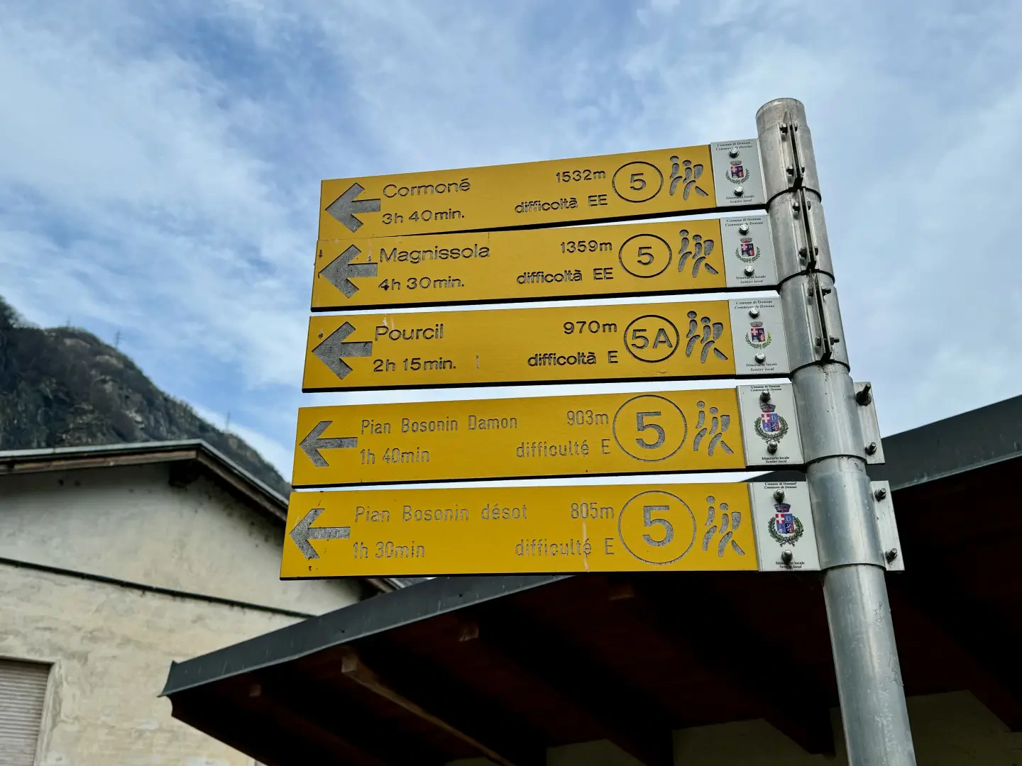
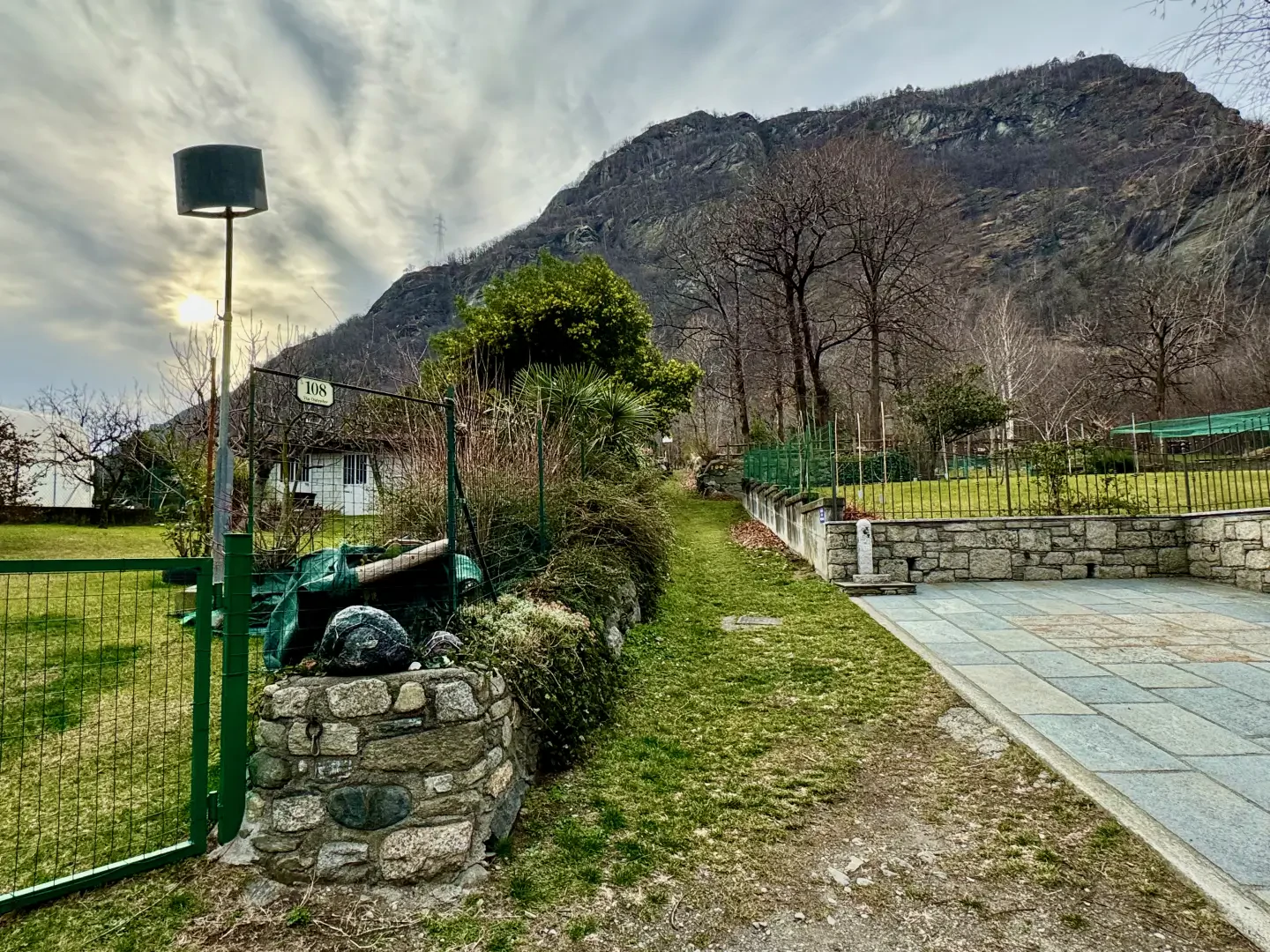
0h00' 0.00km Follow the local road towards the village of Outrefer until you reach a signpost.
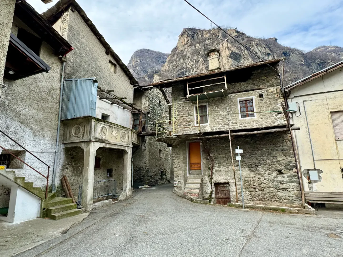
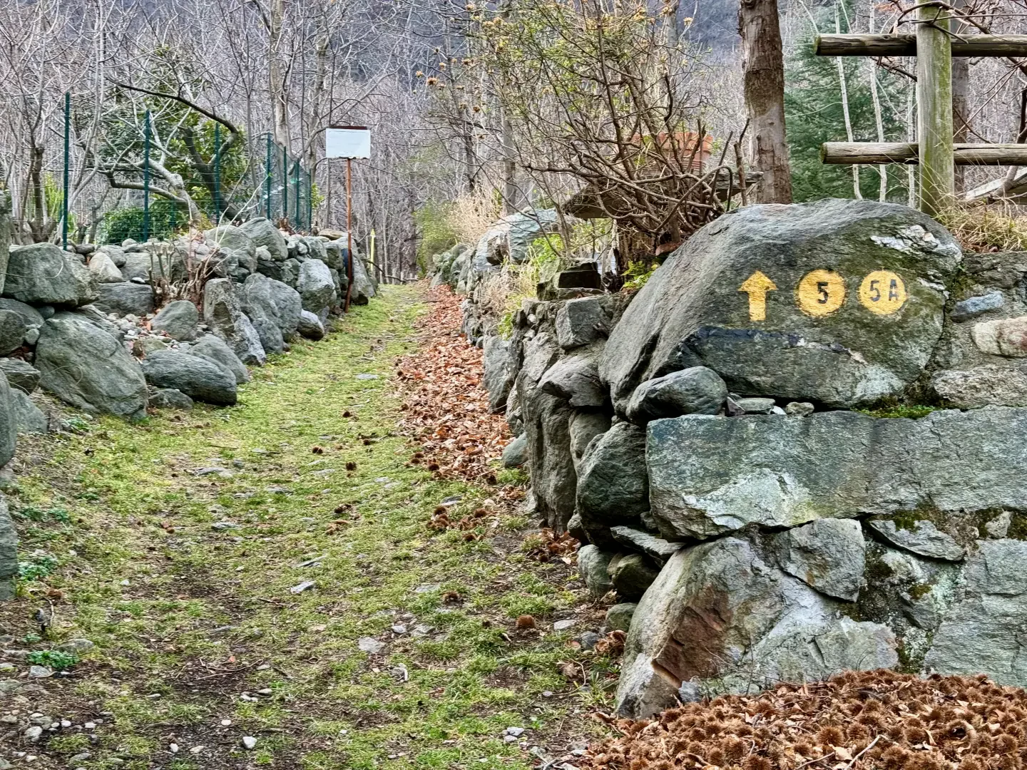
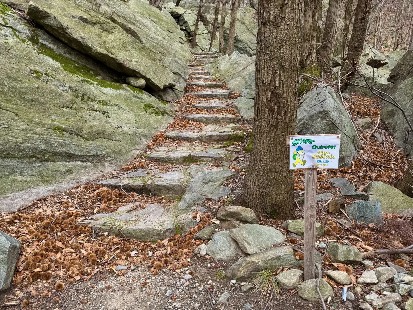
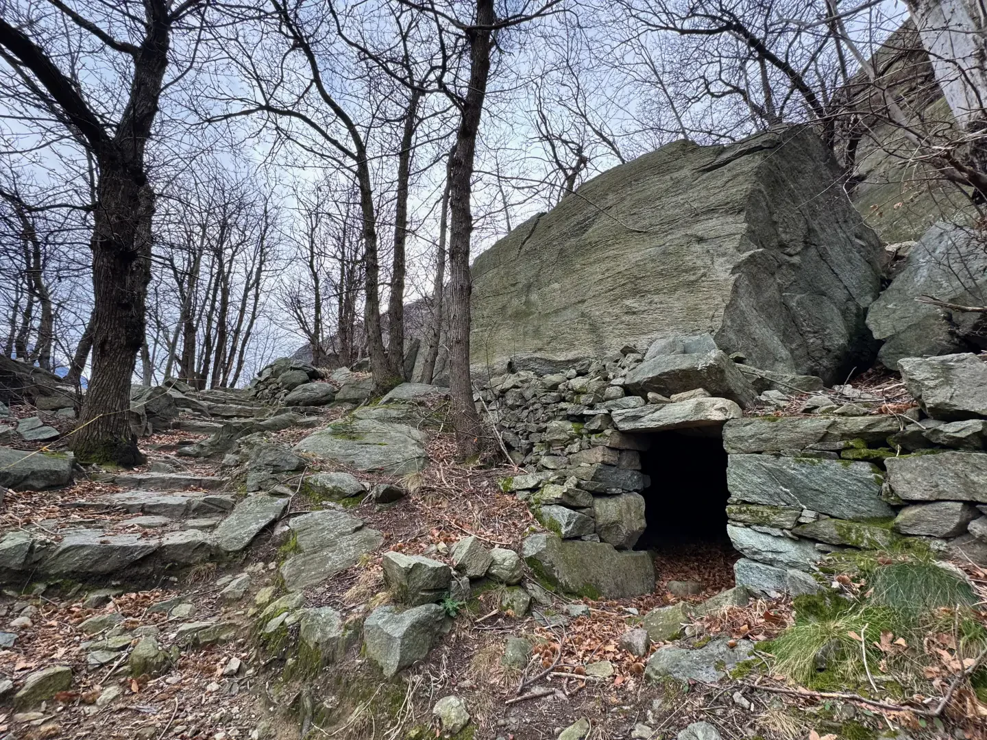
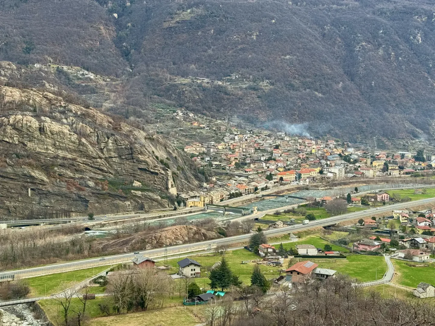
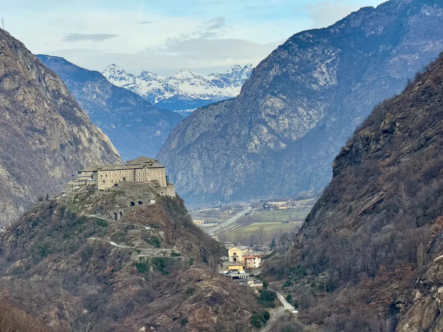
0h02' 0.20km Continue straight on until you reach a group of houses, on the walls of which a yellow arrow indicates that you should turn left. Walk up the short alleyway between the houses until it joins a small road and, a few metres further on, reach the start of the signposted path. Make your way to the foot of the rocky outcrop overlooking the village; after crossing the meadows, enter the woodland, which is predominantly chestnut (Castanea sativa) and reach the sign indicating the starting point of the Vertical Outrefer-Pian Bosonin and the start of the stepped mule track. Head up the mule track to the right, then turn left and follow a series of hairpin bends through the woods until you reach a clearing. Emerge briefly from the woods, with views of Donnas and Forte di Bard, and continue southwards along the mule track which, in the open sections, overlooks the gorges of the Fer stream. Reach an isolated farmhouse (544m). Carry on past the cottage, leave the woods along the path lined with a wooden railing and gain altitude rapidly, turning right to skirt a sloping rock face. Turn left to reach the junction leading to the Pilastro Neri-Camilla face, then turn right and follow thefinal ascending diagonal which, through a short stretch of woodland, leads to the entrance gate to Pian, the finish point of the Vertical Outrefer-Pian Bosonin. Cross the plateau, using the pylon and the cableway for transporting materials at altitude as visual landmarks, and continue slightly uphill to the groups of birch trees (Betula pendula) which precede Pian Bosonin dessous (791m).
1h30' 1.97km m Continue along the grassy track flanked by birch trees, which gradually becomes paved and steeper. Walk past a second pylon and reach Pian Bosonin dessus (903m). Turn right and continue to the junction for Cormoney (945m).
1h45' 2.70km Ignore the path on the left and continue along the track, which narrows as it re-enters the woodland. Reach and pass the ledge (993m), then begin the descent which, after crossing the grassy plateau, leads to the hamlet of Pourcil, where the chapel dedicated to Our Lady Help of Christians is located. Pourcil (965m) 2h15' 3.26km .
The return journey follows the same route taken on the ascent 1h10' 3.26km .
Points of Interest
Collections
Photo gallery
Comments (0)
Sign in to leave a comment