At the motorway junction of Aosta West, enter the roundabout and take the second exit following the signs for / Cogne / Aymavilles. Continue on for 20.0km (20.0km) to the roundabout at the entrance to Cogne, where take the first exit onto Avenue G.F. Cavagnet (350m, 20.35km). Continue on Via Bourgeois (120m, 20.5km), then turn right onto Rue Grand Paradis. Follow Rue Grand Paradis for 2.4km (22.9km), continue on Frazione Valnontey for 210m (23.1km) and turn right to reach the car park.
Parking
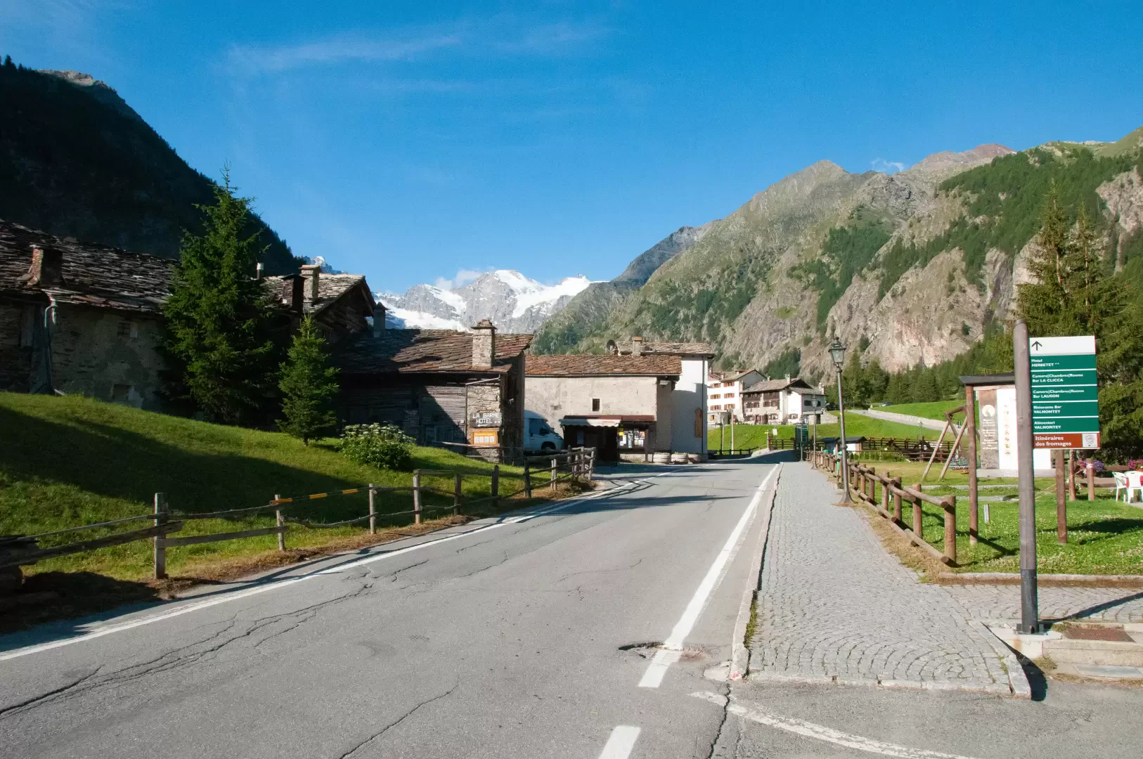
At the end of the road is the 🅿️ car park in Valnontey, the access point to the Gran Paradiso National Park. Check on site for access conditions and any seasonal restrictions imposed by the park authority.
Access by public transport
The Valnontey car park can be reached by the Cogne urban circular line run by SVAP. The reference stop is Cogne Valnontey. The winter service runs every weekday and on public holidays, except 25 December and the summer period; the runs serving the Valnontey stop depart from Cogne Revettaz at 09:00, 10:05, 11:10, 12:40 and 15:00, arriving in Valnontey at 09:25, 10:30, 11:35, 13:05 and 15:25 respectively. For updated timetables please consult the timetable SVAP - Cogne Urban Line.
The information provided has been verified as of the date of the survey of the itinerary. Before departure, it is recommended to check possible changes in the route or road conditions. Please consult Google Maps or Apple Maps for the latest information.
.
Introduction
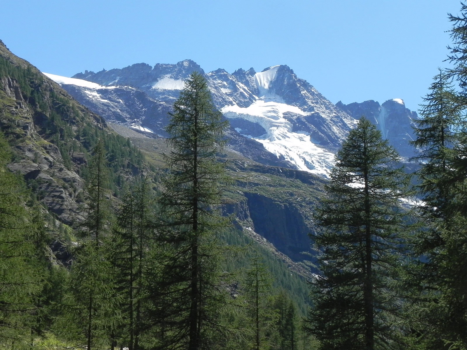
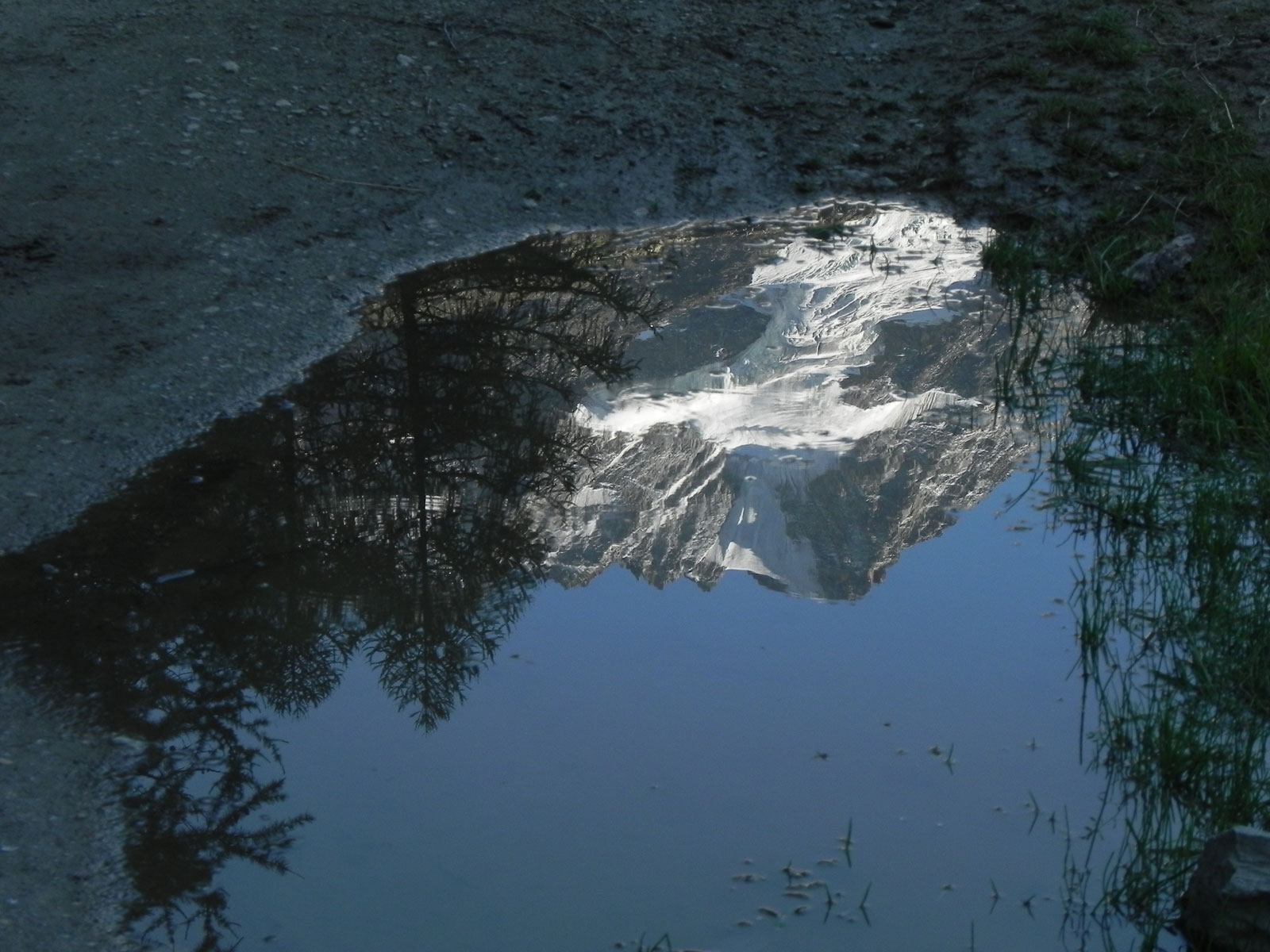
Immersed in the Gran Paradiso National Park, Valnontey represents an excellent opportunity as an introduction to discovering the centuries-old protected area. It is no coincidence that near the village of the same name is the Giardino Botanico Paradisia botanical garden where the main alpine species present in the park can be found. The itinerary described here runs gently through the valley with interesting views of the surrounding glaciers. Although at a low altitude, the trail allows you to fully enjoy the essence of the park and the delicate balance between human activity and nature.
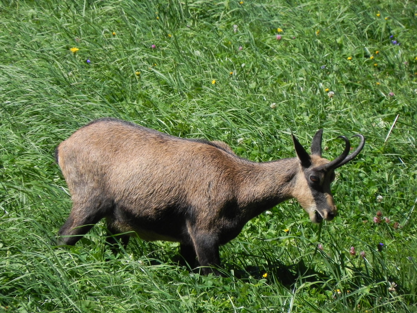
We recommend visiting in the autumn in order to appreciate the feuillage of the larches as well as the local fauna, which is a little more confidant given the sparse season.
Description
0h00'0.00km
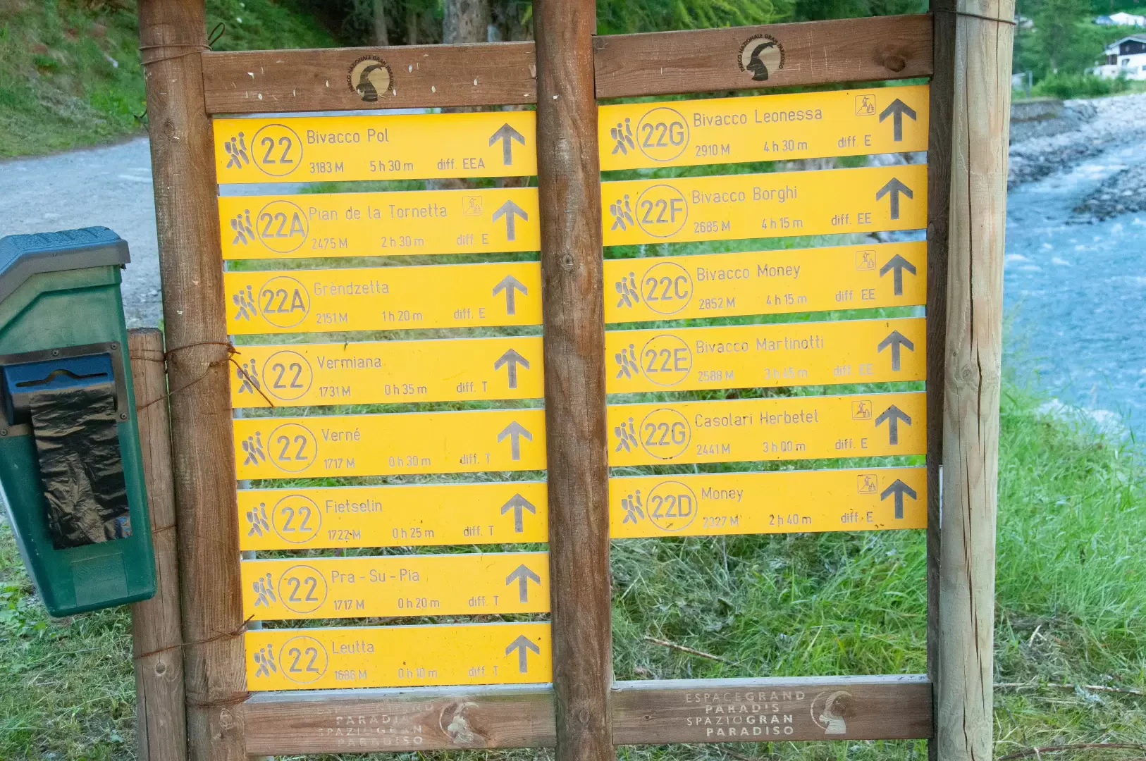
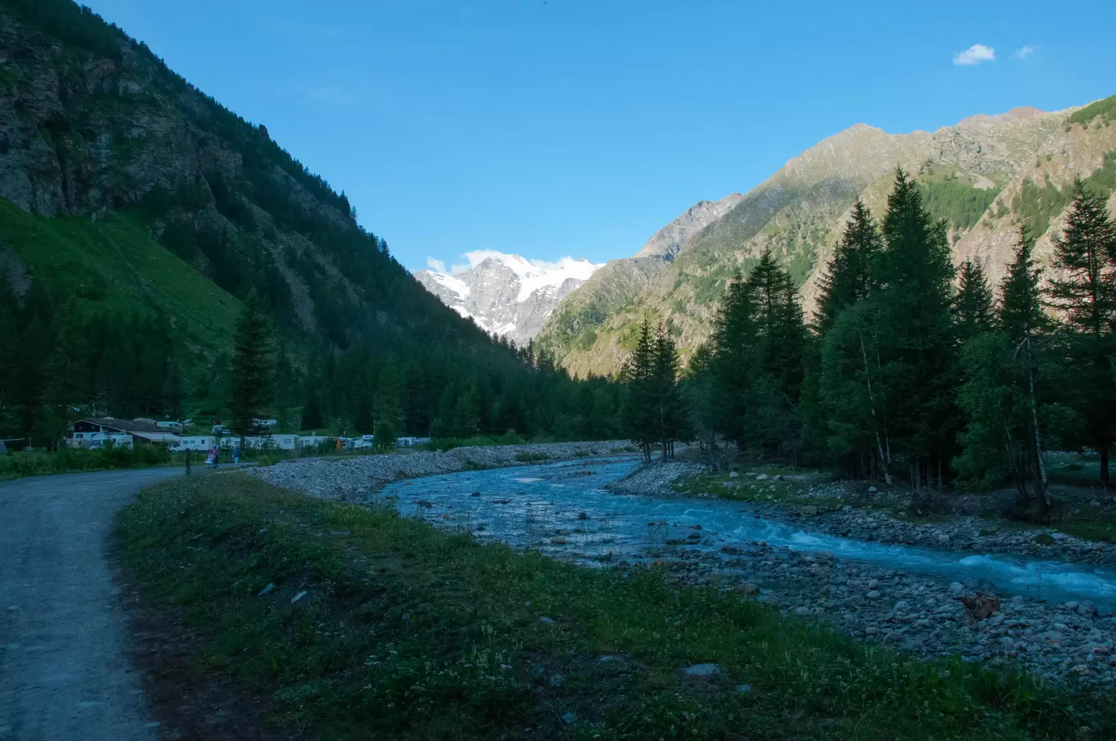
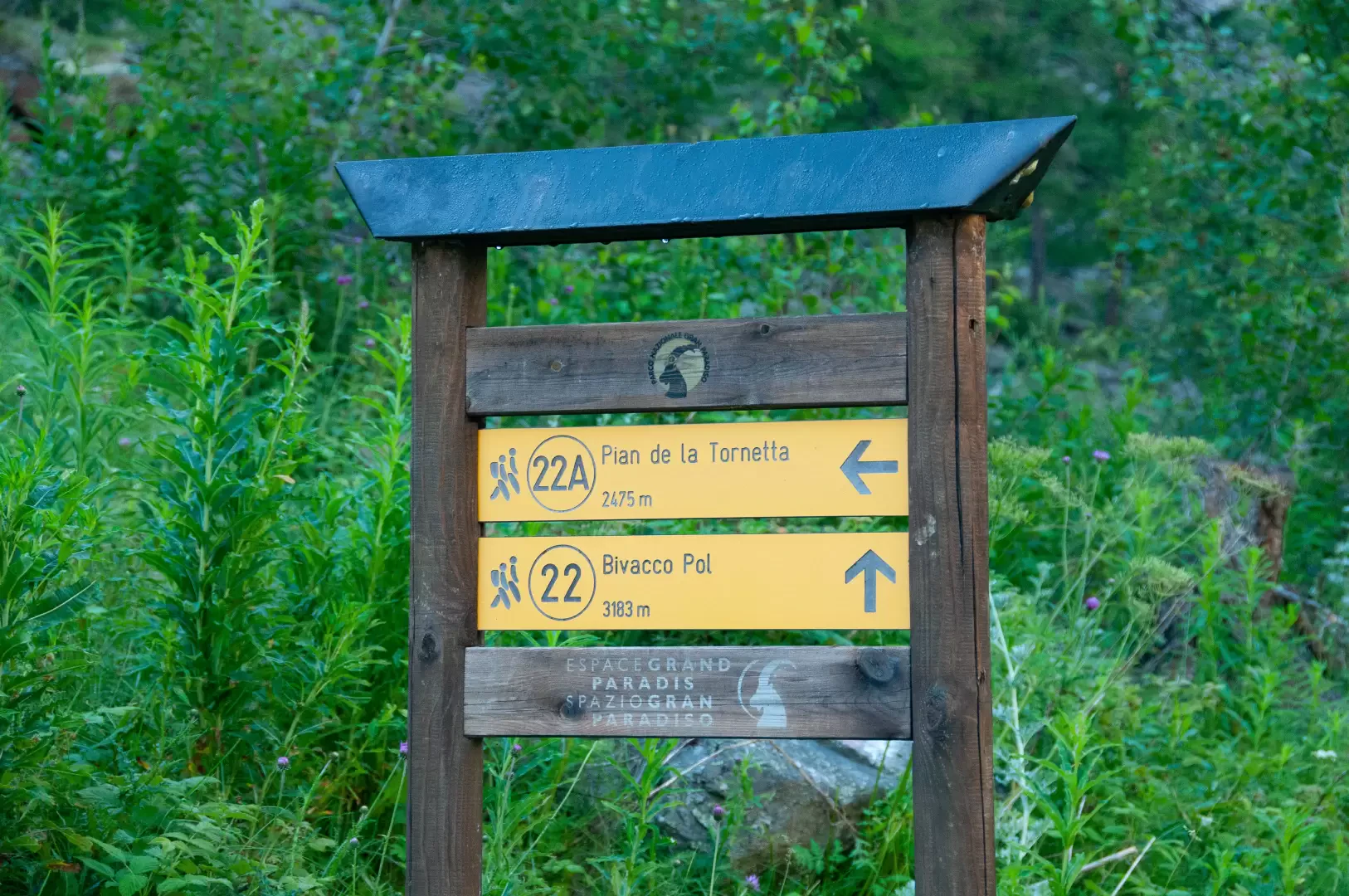
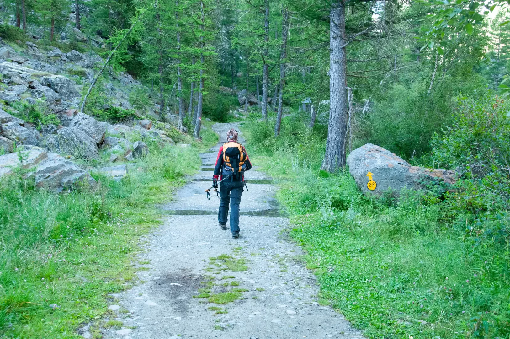
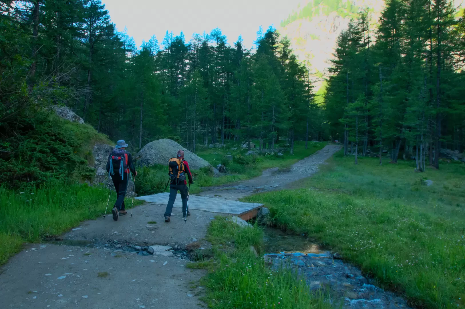
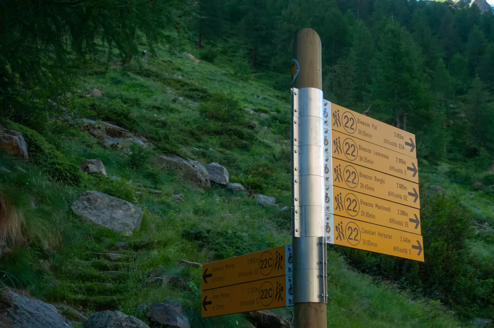
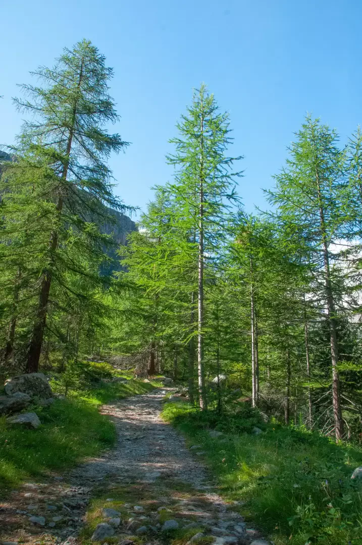
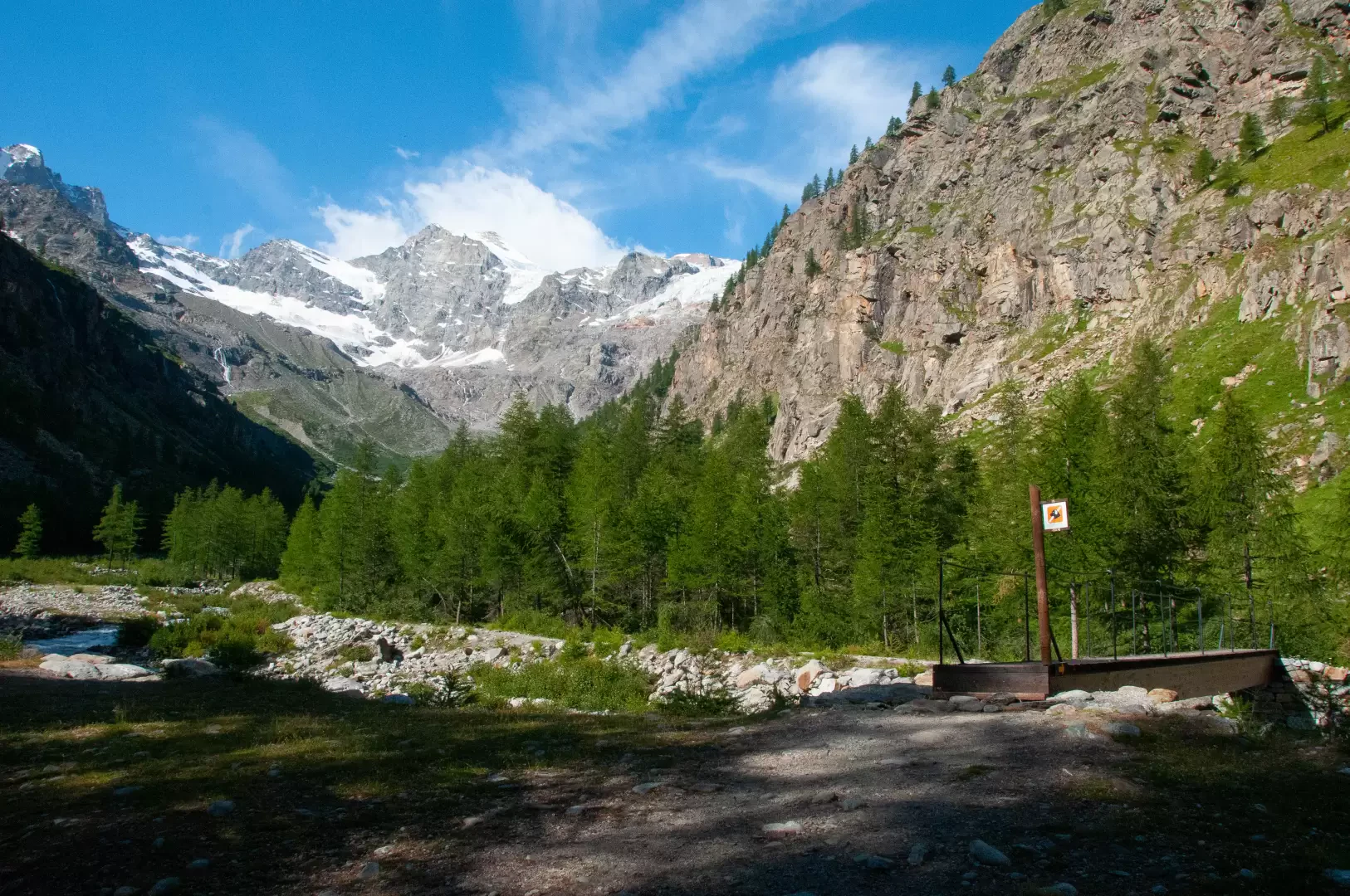
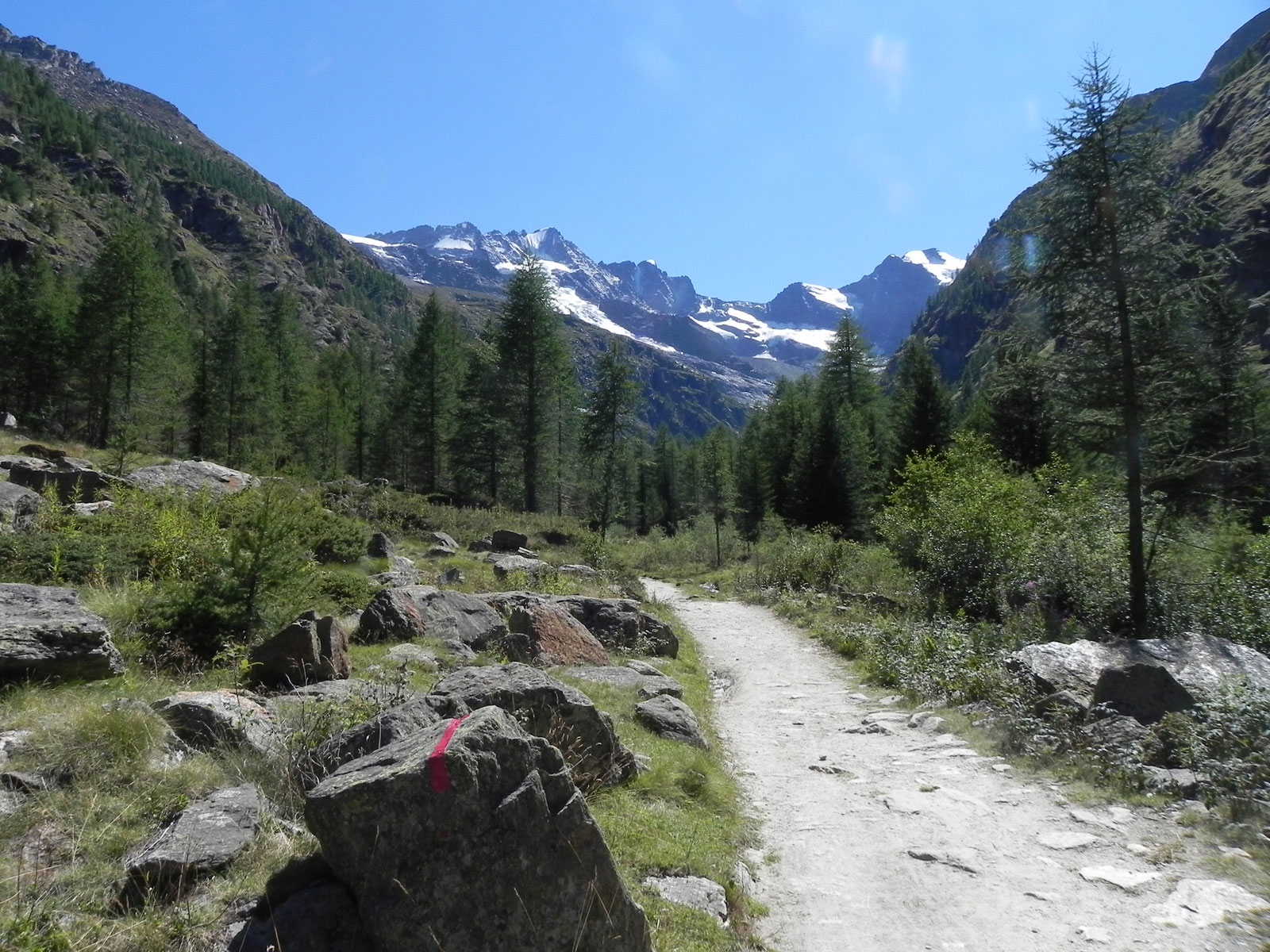
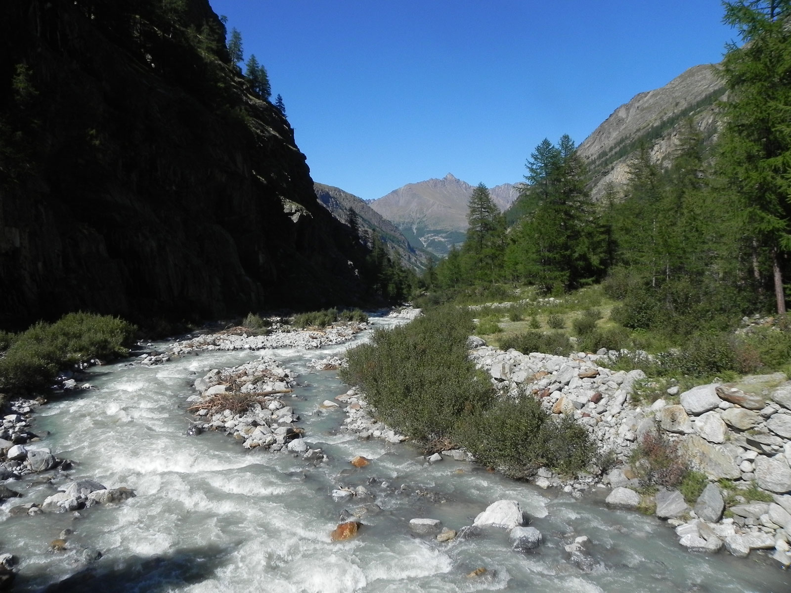
From the car park proceed in the direction of the village of Valntontey, where there is a fountain 💧 and signposts indicating the main paths in the valley. Continue on the little dirt road that flanks the Torrent de Valnontey and the "Gran Paradiso" campsite. You enter the larch forest (Larix decidua), which in the autumn period flares up in picturesque chiaroscuros, and after a short distance you come to the signpost for Plan de la Tornetta.
0h15'1.05km Neglect the path
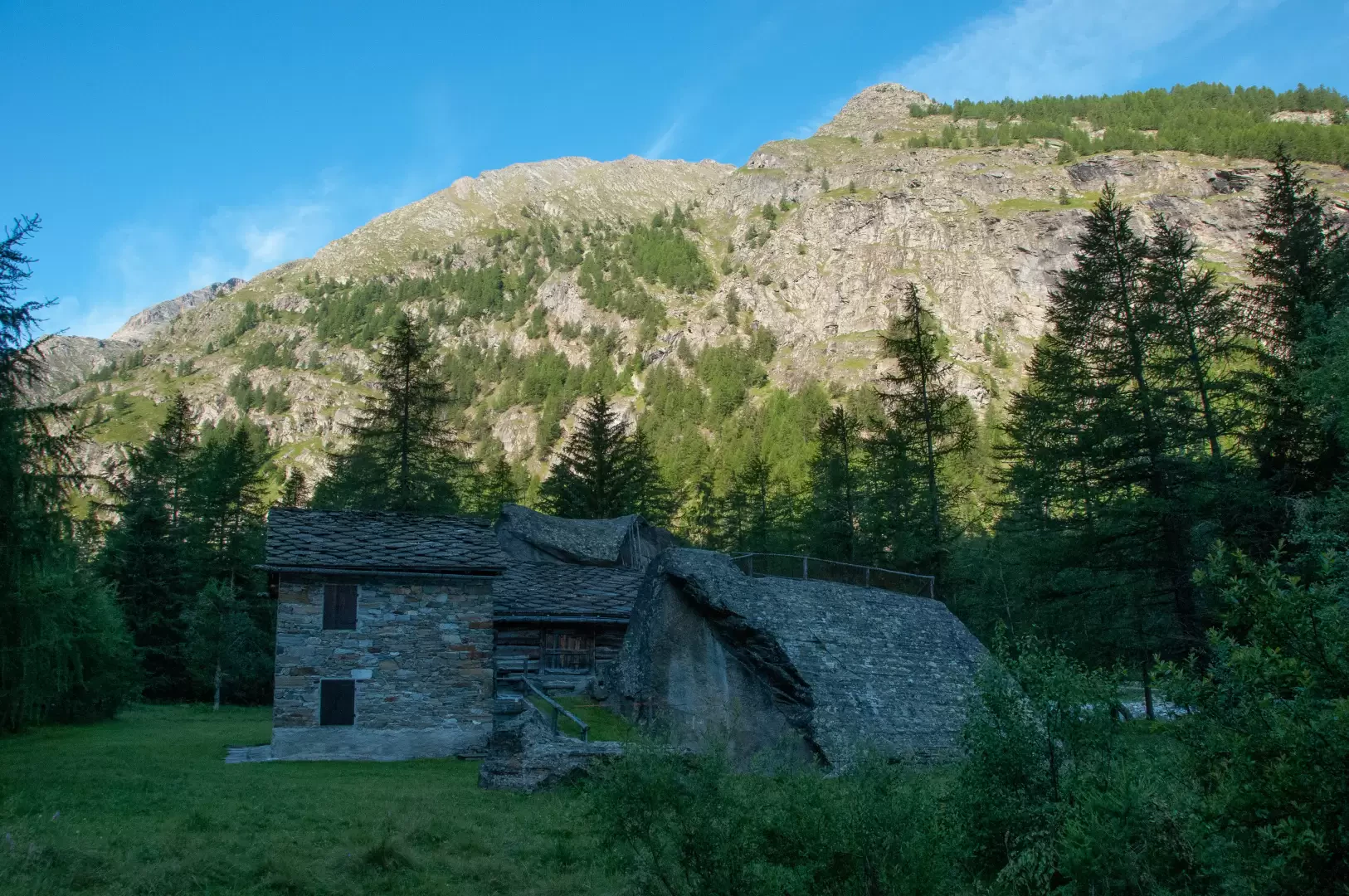
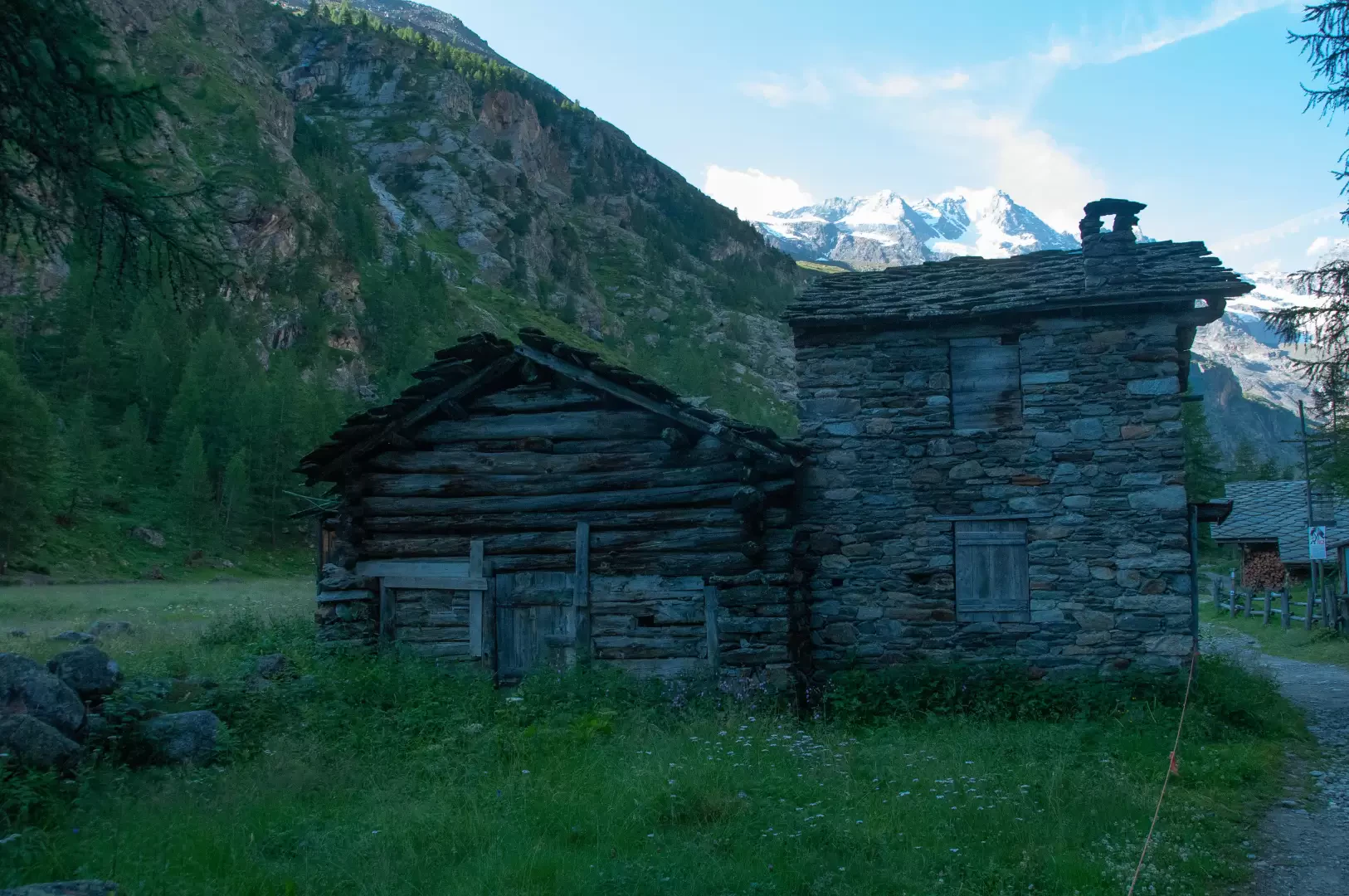
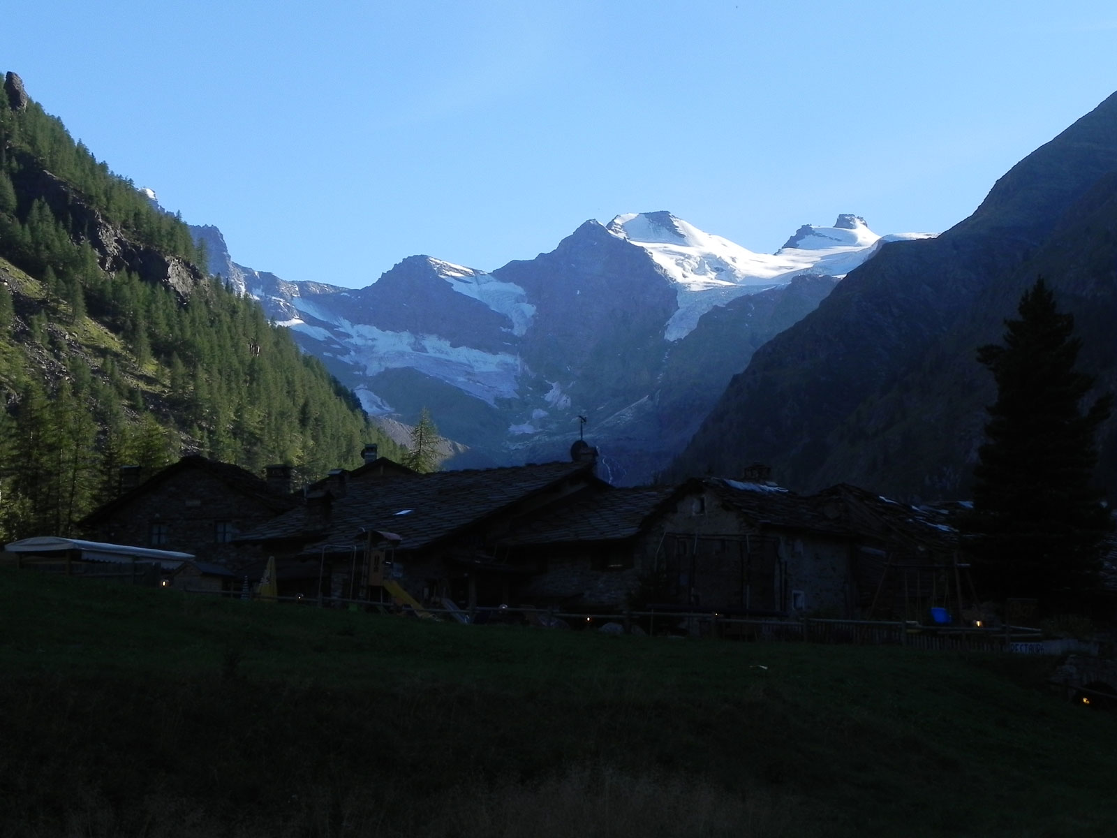
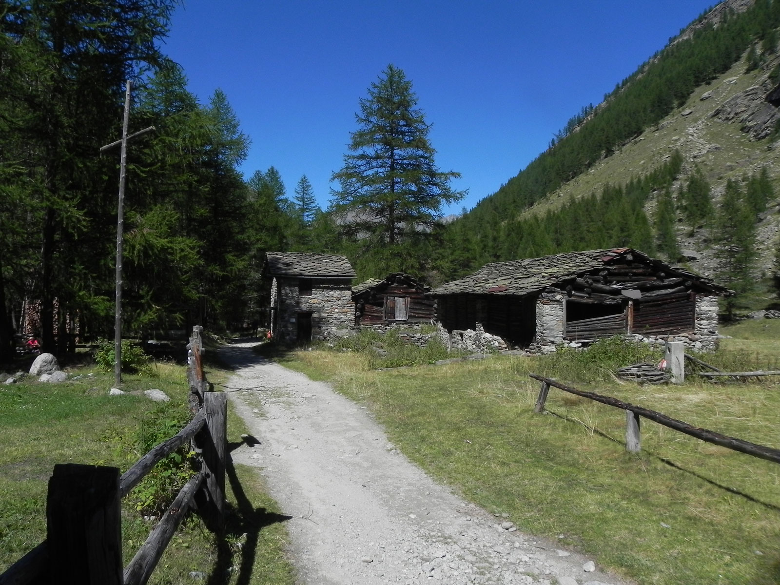
and continue straight ahead always on a level surface on the old royal hunting road, which in places becomes a wide path and quickly reaches the small village of David (1,713m) with buildings perched on erratic boulders.
0h30'1.76km Continue along a level path until reaching the village of Vermianaz - Vermiana (1745m).
0h45'2.64km Having passed the village, after about 400m, shortly after crossing a stream on a wooden footbridge, leave the small dirt road to take the well-marked path that branches off to the left (1784m). Now continue on the path that, still on a moderate incline, quickly reaches the crossroads for the Alpe and the Money bivouac (1807m).
1h00'3.69km Neglect the path
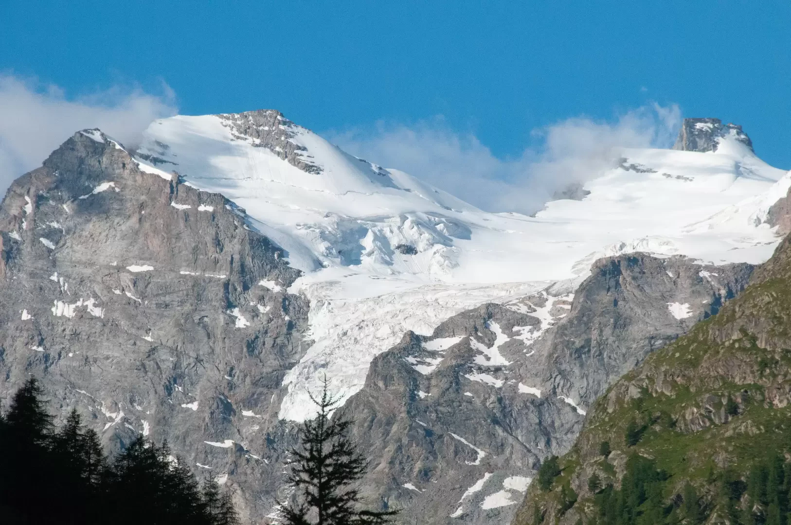
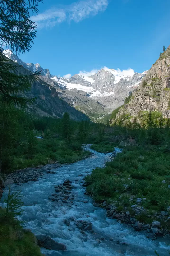
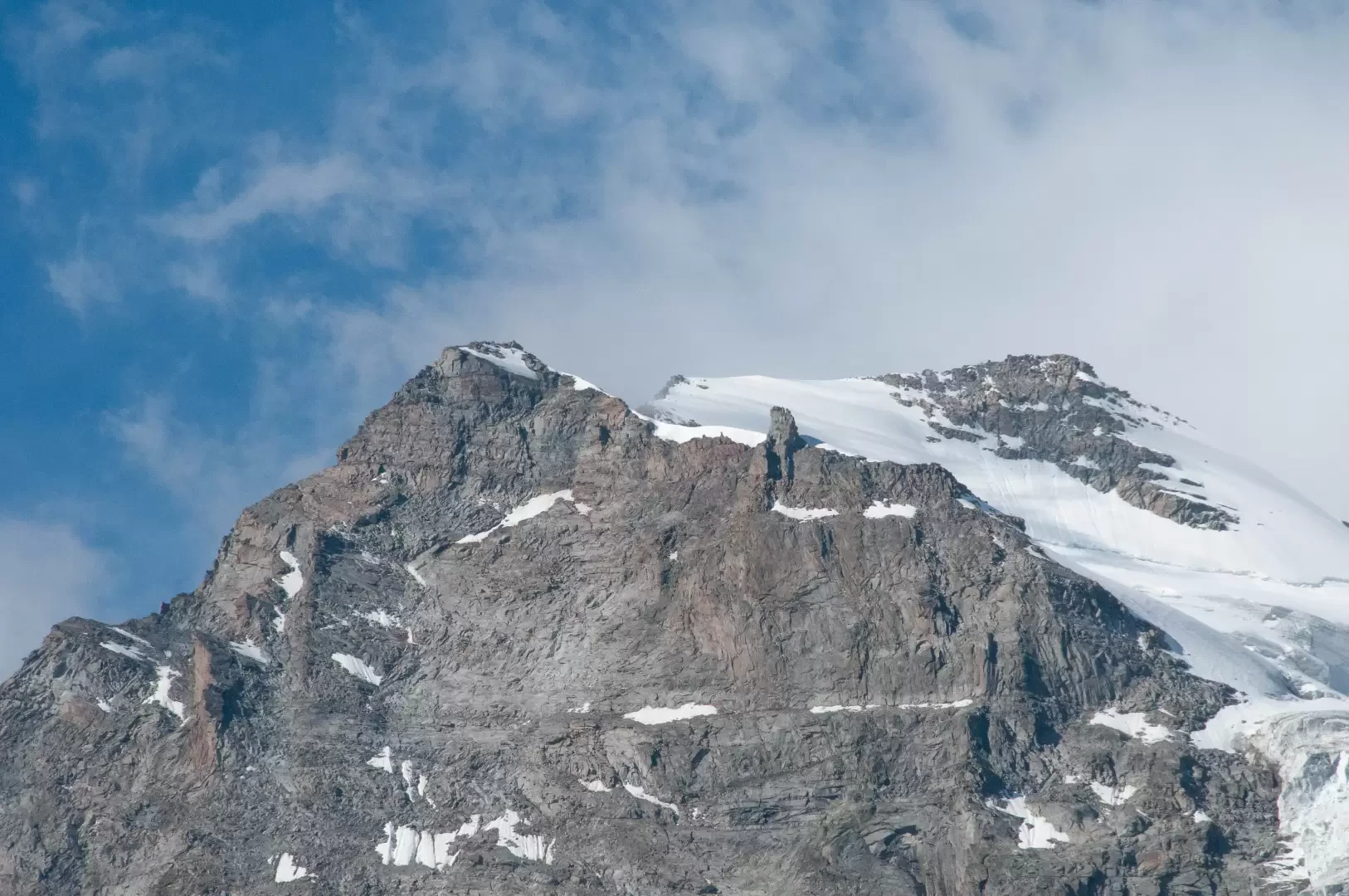
on the right to tackle the last part of the route along the Torrent de Valnontey as beautiful panoramic views open up over the head of the valley with a privileged view of the seracs of the Tribolazione Glacier. Shortly after crossing a last wooden footbridge, the trail finally reaches Pont de l'Erfaulet (1830m) 1h15'4.51km .
The return is along the same route as the outward leg 1h15'4.51km .


Comments (0)
Sign in to leave a comment