Piz da Peres, from San Vigilio
Access
At S. Vigilio follow for the ski lifts. At the curve where the La Miara Restaurant is indicated, park if there is room or follow the dirt road where the various paths are indicated. There is a restaurant behind it where you can leave your car.
Description
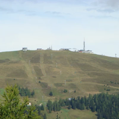
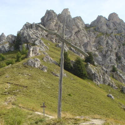
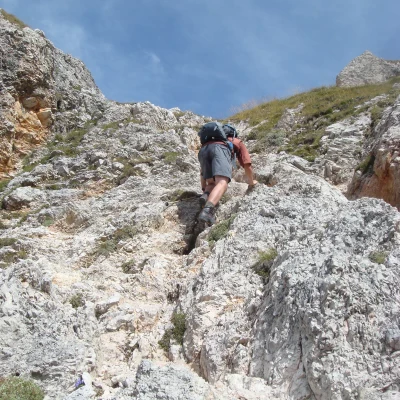
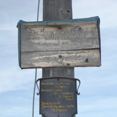
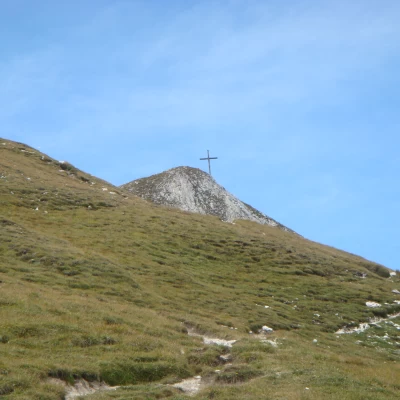
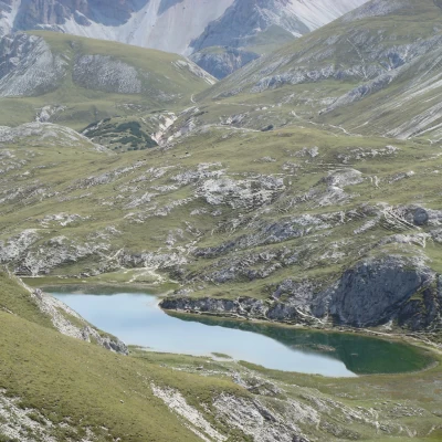
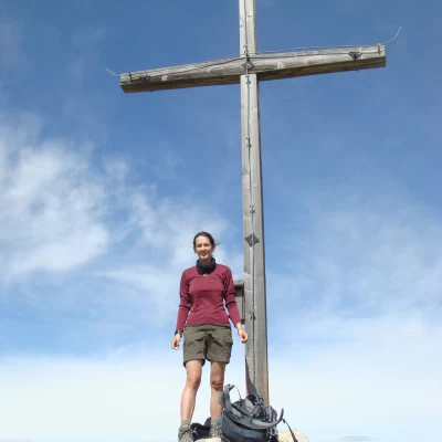
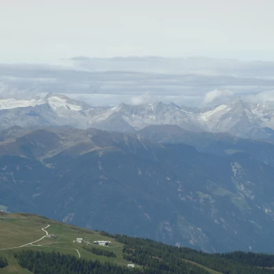
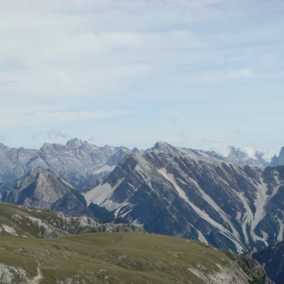
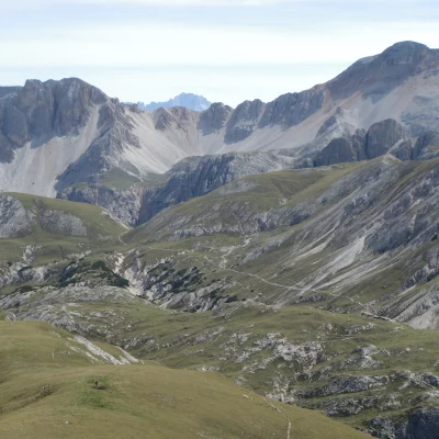
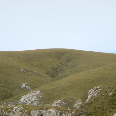
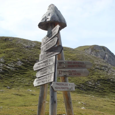
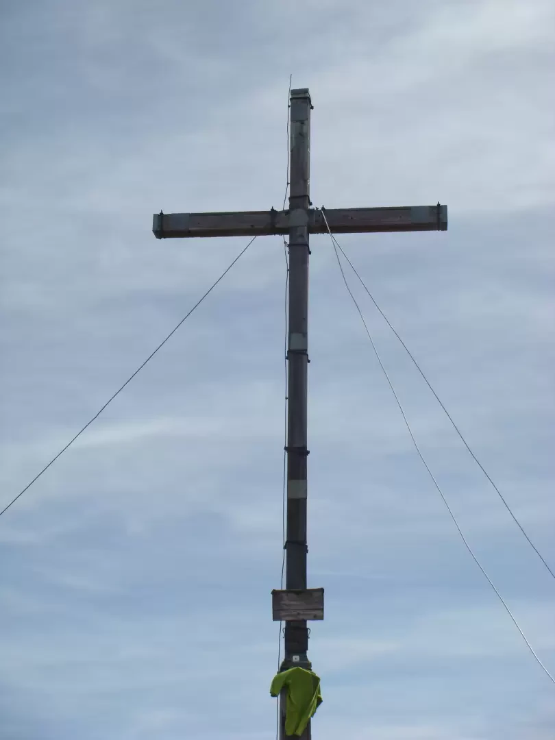
To reach Piz da Peres you follow path 12 (3hrs 40 according to the ball. To us it seemed quite generous as a walking time) The path seems to have changed from how it is marked on the map Tabacco 031 although it is very well marked. You follow the path marked as 12/19 and ascend through the forest until you come to the road (on the map that would be path 19). Continue along the road until you come to the fork on the left for trail no. 12. After a short while, the path branches off to the left. There are no signposts at this point, but the CAI signs are clearly visible on tree trunks. When you reach a nice meadow, turn right and continue uphill. The climb is steady but not difficult. Having arrived at the fork where a path from the Passo Furcia climbs, the most demanding section begins. There are no equipped sections, but it is often necessary to climb over boulders with a poorly defined path. However, we are almost at the summit and soon start zig-zagging again in view of the summit cross (2507m) 2hrs 40. Great panorama of the Plan de Corones, Val Pusteria, San Vigilio and Lago di Fojedora We descend along path no. 3 and arrive at the junction from which the path most commonly used for the ascent to Piz da Pese ascends, a path coming from the Passo Furcia. If we want to climb the nearby Drei Fingerspitz peak (2477m) from here, we only need to climb the grassy slope of the mountain. The summit is less crowded than Piz da Peres, but the views are just as beautiful. For the descent, we continue on trail no. 3 until we cross trail no. 6, which first ascends and then descends to Ucia de Fojedora (2114m). From here we follow trail no. 19. A final ascent awaits us until we reach around 2280m and then descend until we reach the junction with path 12-19 and return to the base (approximately 1hr45 / 2hrs from Ucia de Fojedora)
.
