Motta di Plété occidentale, loop from the Euiilaz cable car station


Edited by:
Massimo Martini
Updated at: 12/07/2026
Access
From the Châtillon motorway exit, cross the village and take the Valtournenche regional road. Drive up the valley until you pass the village of Valtournenche. Take the small access road to the Cime Bianche ski lifts on the left. Leave your car in the large car park and take the cable car to Euillaz.
.Introduction
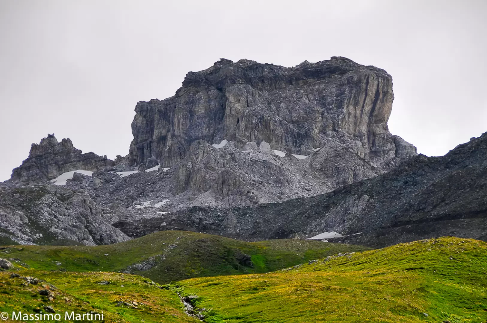
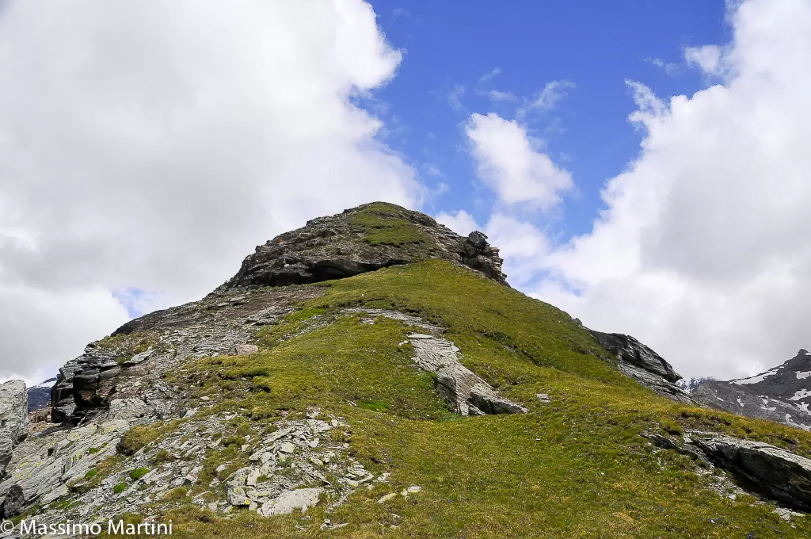
The Motta di Plété is a grassy panettone that forms the western side of the mountainous coastline from the Gran Sometta. The hike proposed here is a loop consisting of the concatenation of trails and .
Description
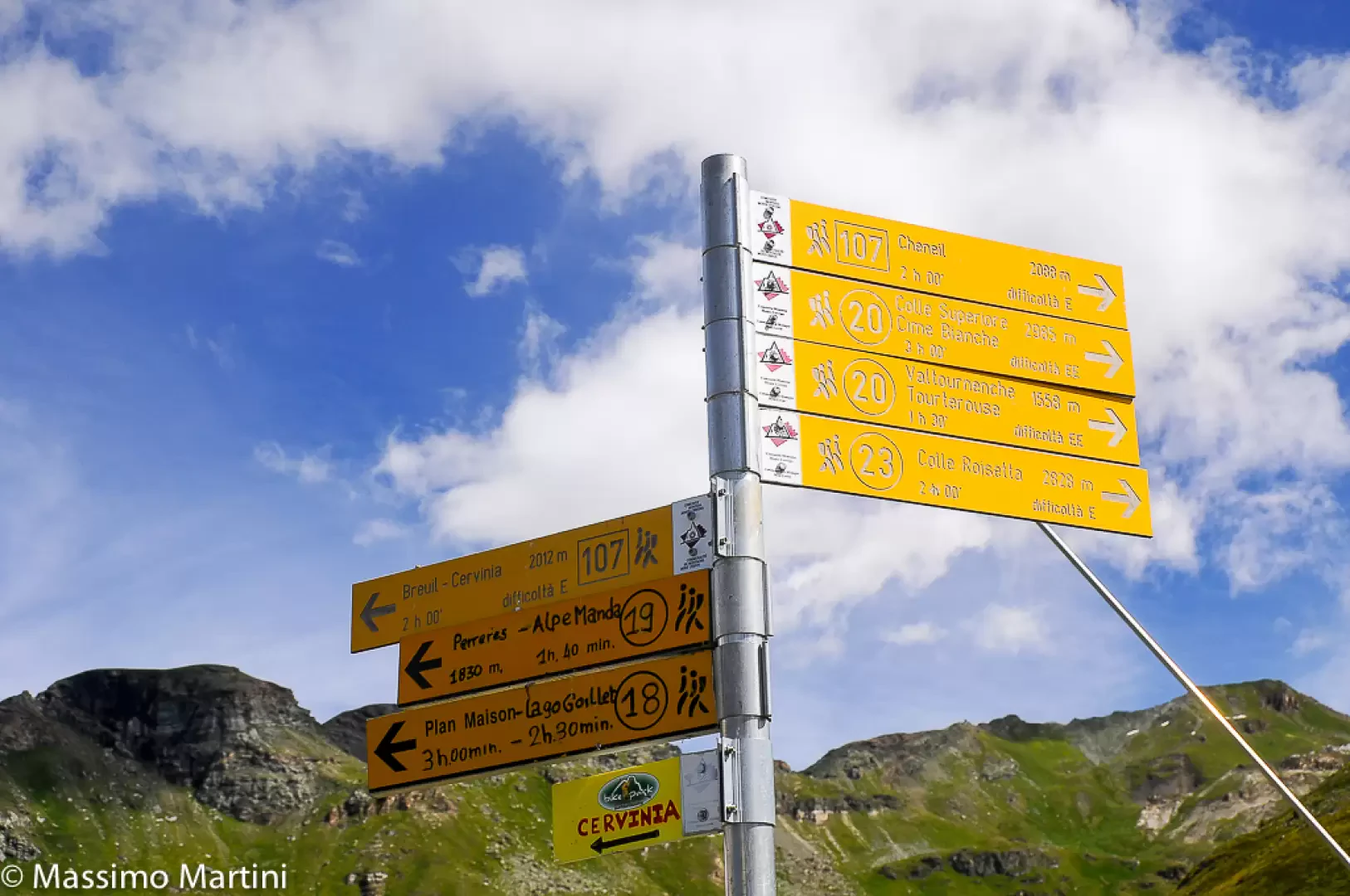
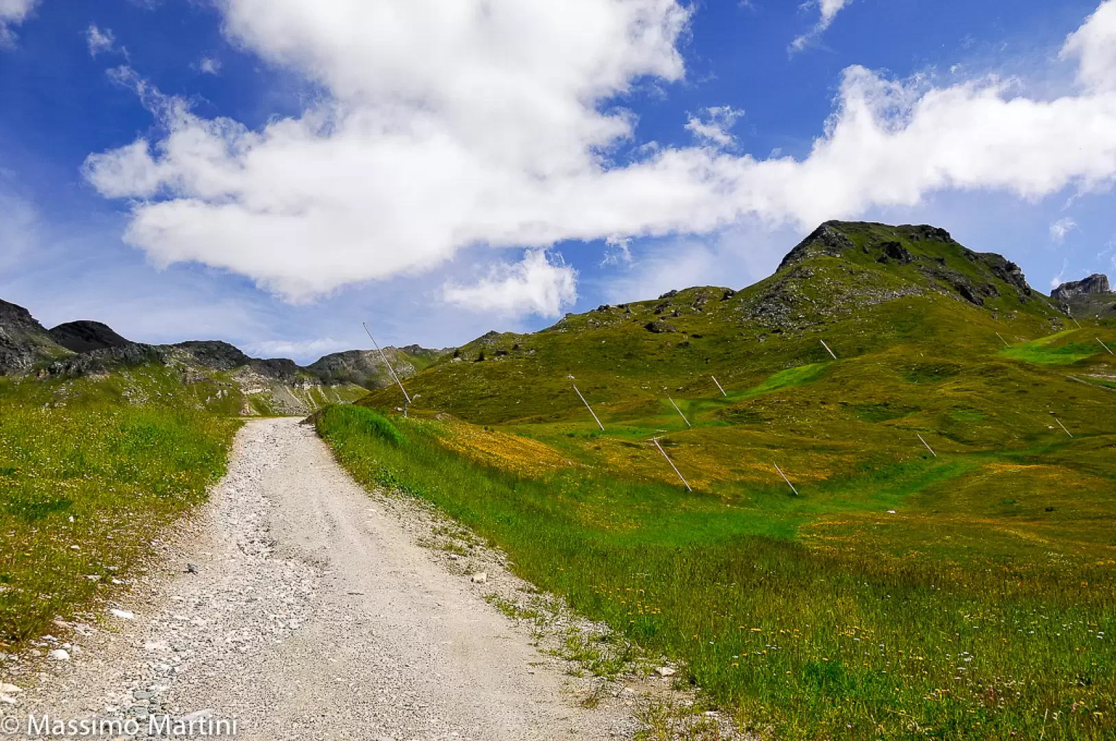
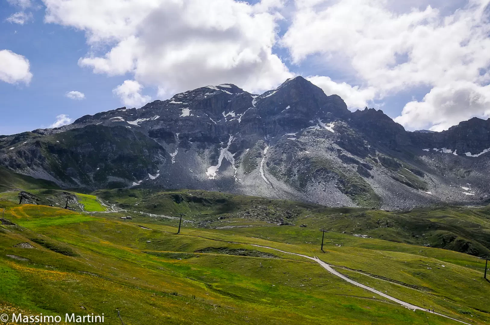
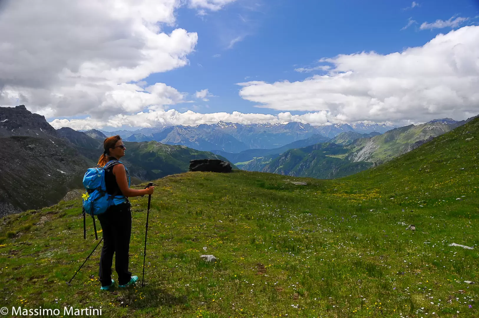
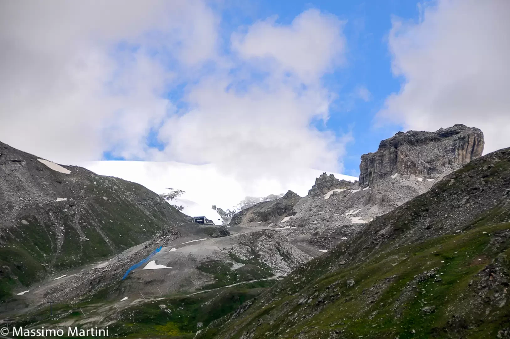
0h00' Leave the cable car and proceed briefly to a signpost showing the main hiking routes in the area. Continue along the numbered dirt track which has as its destination the lower Colle delle Cime Bianche. Pass near a refreshment bar and, shortly afterwards, take a new track on the left that suddenly steepens, allowing you to immediately gain a hundred metres in height. After the first ascent, the slope flattens out slightly as it skirts a water reservoir for artificial snow. The ascent resumes with new intensity until it takes the hiker to the vicinity of a mountain pasture. Now continue into the valley of the Cleyva Groussa stream in the presence of the Gran Sometta, which rises at the bottom of the stream, and make a couple of hairpin bends before reaching a signpost indicating the start of the path and the consequent abandonment of the dirt track. Turn left, cross a small brook and follow the yellow marks on a not very evident path.
After meeting the junction of path
, you will reach the alluvial plain that allows you to cross the Cleyva Groussa stream: shortly afterwards, you will come to a marker signposting the fork of paths
and
. Continue on
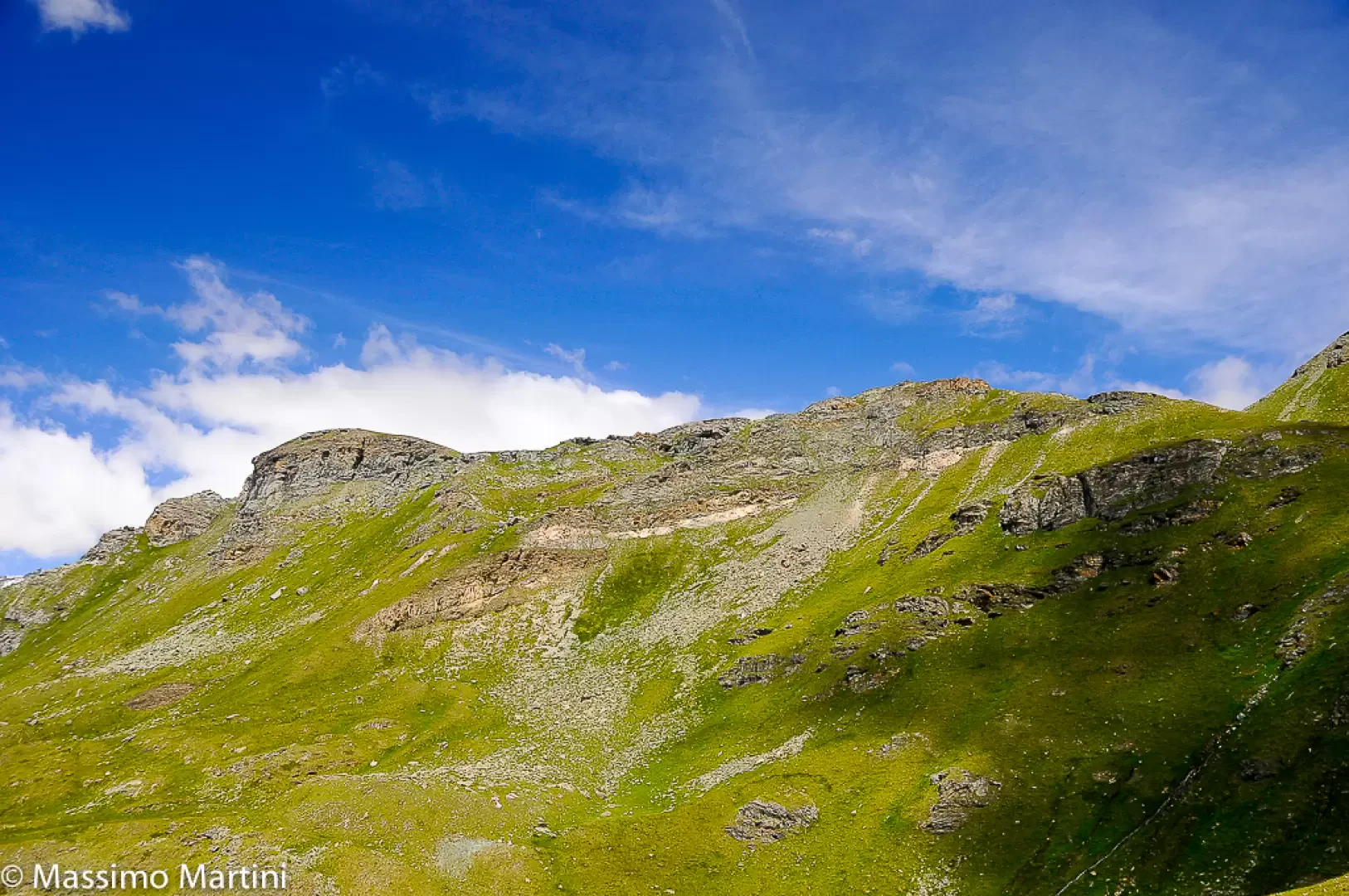
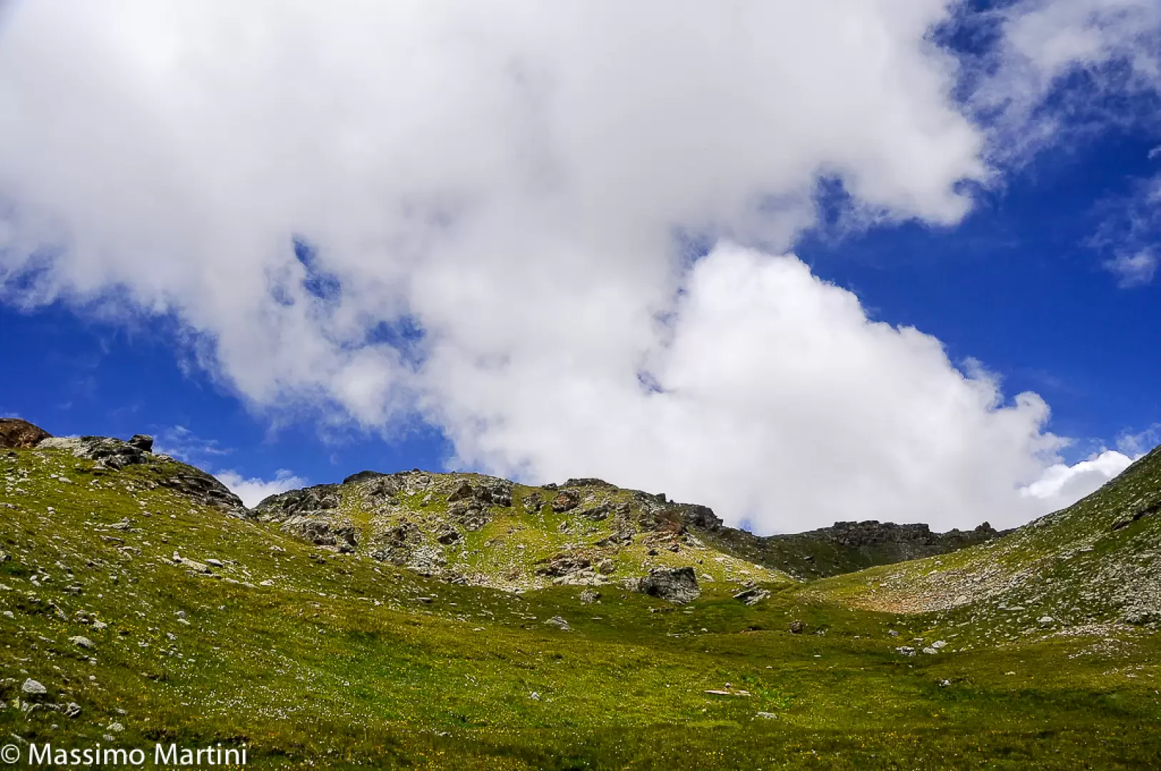
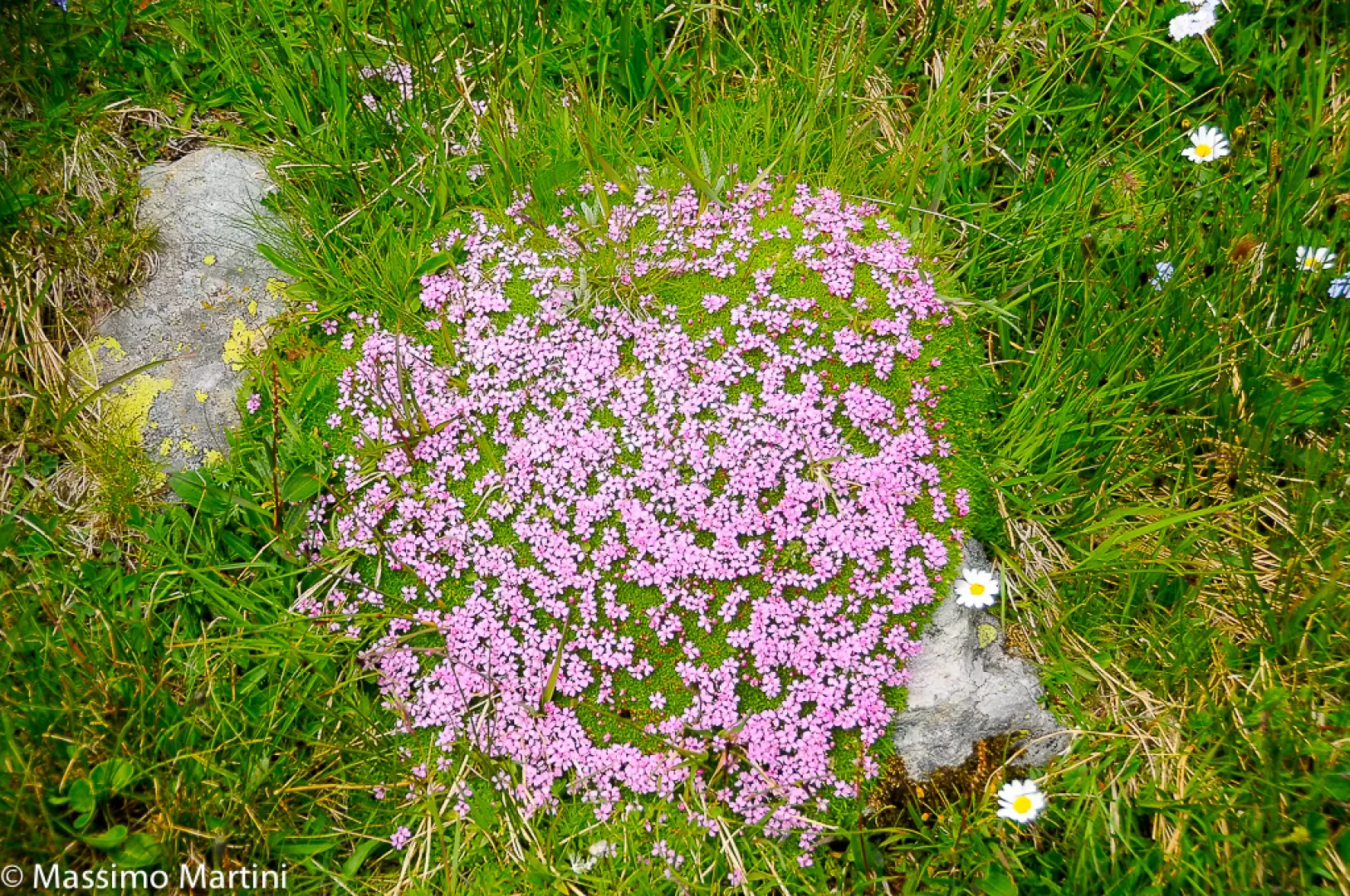
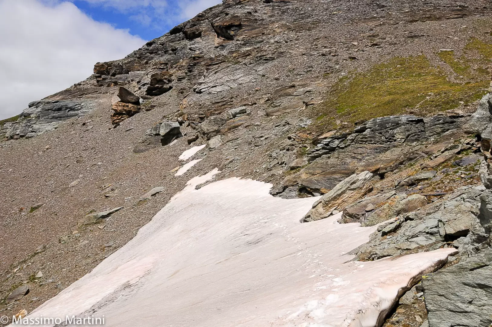
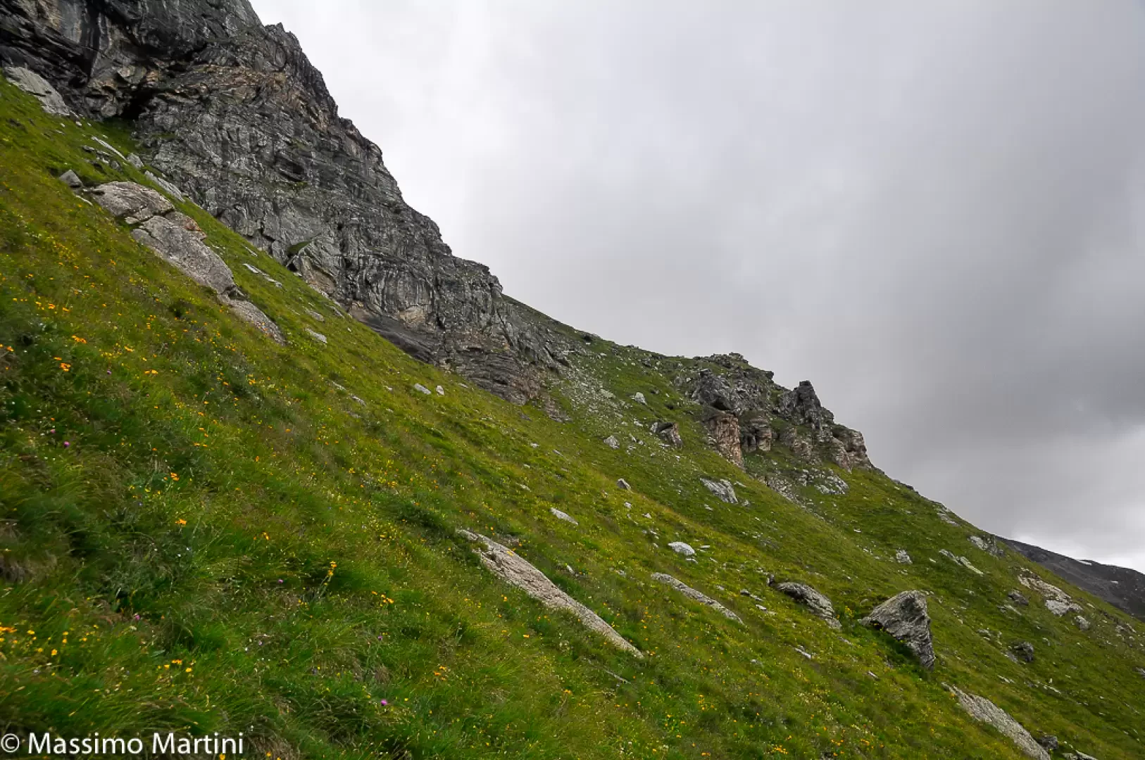
, which runs to the left and begins to gain altitude with a diagonal halfway up the grassy slope of the eastern Motta di Plété. The ascent is interspersed with a short ledge with an interesting view of the middle Valtournenche. Continue walking up the grassy slope, which is rich in flora at the beginning of the season. Follow the cairns and yellow markers to reach a small hollow, at which you turn left across a small depression strewn with stones at the edge of a rocky wall. Go over a small hump and at last you can see your final destination: a short descent takes you to the junction between paths 21 and 19 (which we will follow downhill). From the crossroads, keep to the right, thus avoiding the descent, and cross a wide band of scree (possible snowfield at the beginning of the season). At the end of the scree slope, the path rises slightly before reaching a small saddle where a small roofless shelter is built. The destination is now near, follow the last yellow bolts to the wide panettone that forms the summit of the western Motta di Plété (2840m) until you reach a small closed building.
The descent follows the same route as the outward journey until the aforementioned junction between paths
and
: here you can decide whether to complete the itinerary with a loop (difficulty T3) or to go back following the route taken on the outward journey.
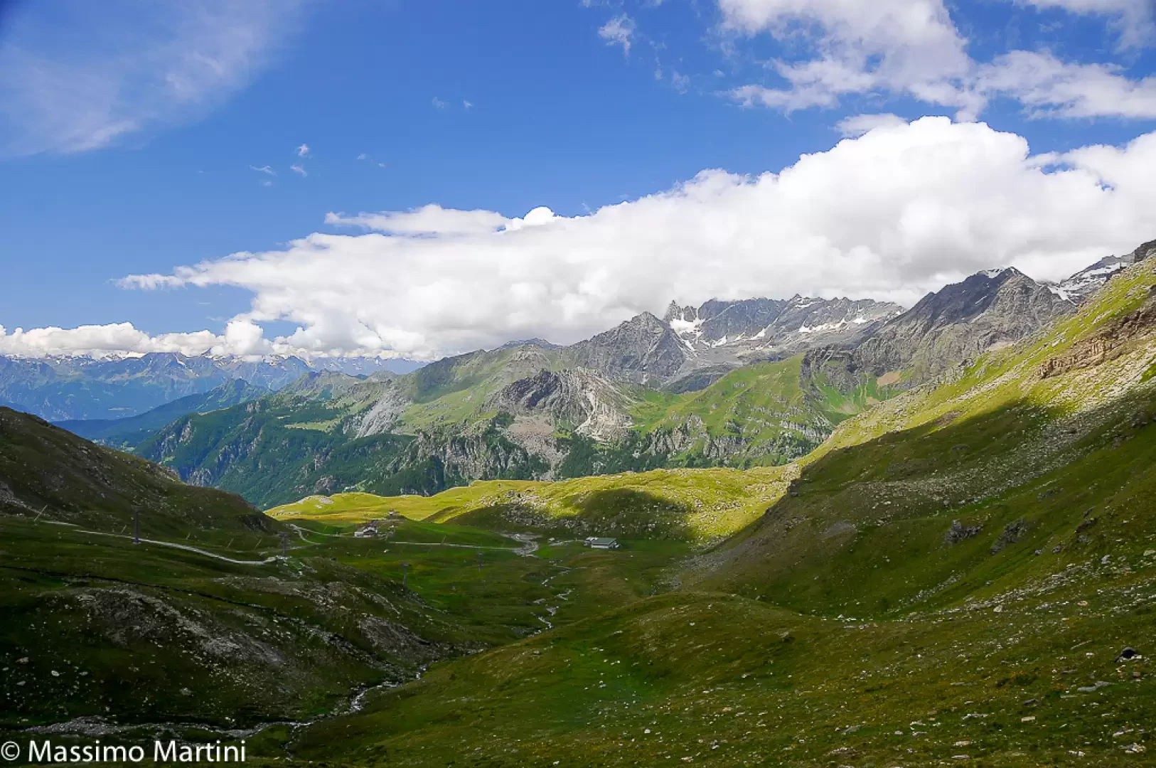
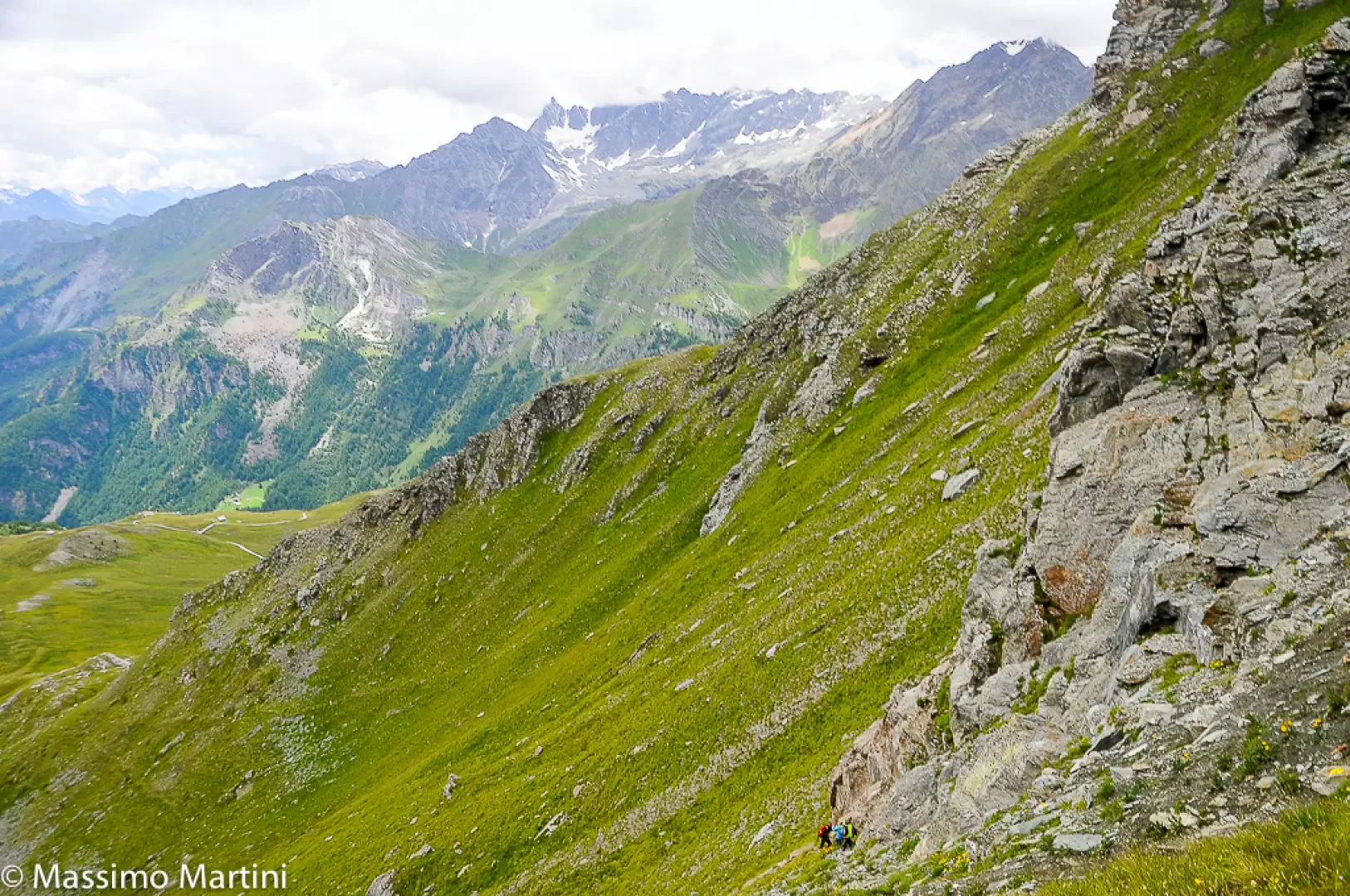
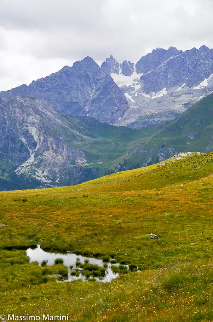
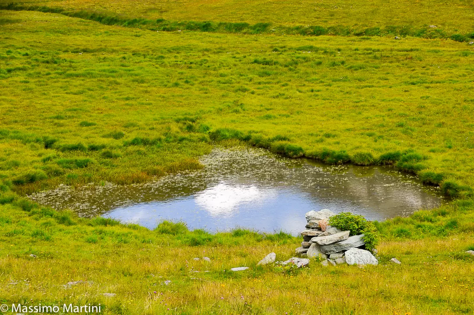
For the sake of completeness, we propose the closing of the loop. From the crossroads, turn right and follow the not-so-obvious yellow markings until you reach the edge of a fairly steep crag: continue the descent with some difficulty with a diagonal at the edge of a rocky ledge. The path is very slippery, so it is advisable to walk along it only when dry. Once the critical section has been overcome, continue on a diagonal descent on the steep grassy slope with uncomfortable progress due to the somewhat treacherous terrain and the fact that the yellow markings are not "evident". At the end of the section, you will reach path [21] again: here you can proceed as far as the alpine pastures of Manda or, a recommended option, descend the wide prairie towards the esplanade that anticipates the route of the Gran Balconata del Cervino : it is very suggestive to cross the prairie and some wetlands that make up a few micro ponds in the sight of the Punta Tsan, on the right, and the grim rock faces of the Roisetta and the Becca d'Aran. When you reach path , turn left and follow it to the starting point.
Photo gallery


Comments (0)
Sign in to leave a comment